The best walks and hikes around Parignargues
4.4
(289)
1,833
hikers
166
hikes
Hiking around Parignargues offers diverse landscapes in the Gard department of France. The region is characterized by the Gardon river, limestone cliffs, and garrigue, providing varied terrain for outdoor activities. Hikers can explore areas with unique geological formations like the Ochres of Fougeras and discover historical remnants such as Roman quarries and the Roman Fountain of Ranquet. The area features a mix of leisurely walks and more challenging paths, catering to different fitness levels.
Best hiking trails around Parignargues
- The…
Last updated: June 25, 2026
4.3
(4)
10
hikers
12.0km
03:09
100m
100m
Moderate hike. Good fitness required. Easily-accessible paths. Suitable for all skill levels.
5.0
(1)
6
hikers
Moderate hike. Good fitness required. Easily-accessible paths. Suitable for all skill levels.

Sign up for free
4.3
(3)
6
hikers
7.75km
02:03
70m
70m
Moderate hike. Good fitness required. Easily-accessible paths. Suitable for all skill levels.
1.0
(1)
2
hikers
Easy hike. Great for any fitness level. Easily-accessible paths. Suitable for all skill levels.
4
hikers
6.29km
01:43
90m
90m
Easy hike. Great for any fitness level. Easily-accessible paths. Suitable for all skill levels.
Get access to more routes and recommendations from other explorers.
Sign up for free
Already have an account?
Our route recommendations are based on thousands of hikes, rides, and runs completed by other people on komoot.
Start today with a free account
Your next adventure awaits.
Login or Signup


Tips from the Community

The heights of Saint-Côme offer a privileged playground for mountain biking. There are many trails and the terrain offers an interesting succession of climbs and descents. Indeed, the Vaunage, the plain located between Nîmes and Sommières, ends here to give way to the hills. The spot is perfect for admiring the landscape.
0
0

For those who love old stones...an old farm/sheepfold/??? fallen into ruins (only the walls remain)
1
0
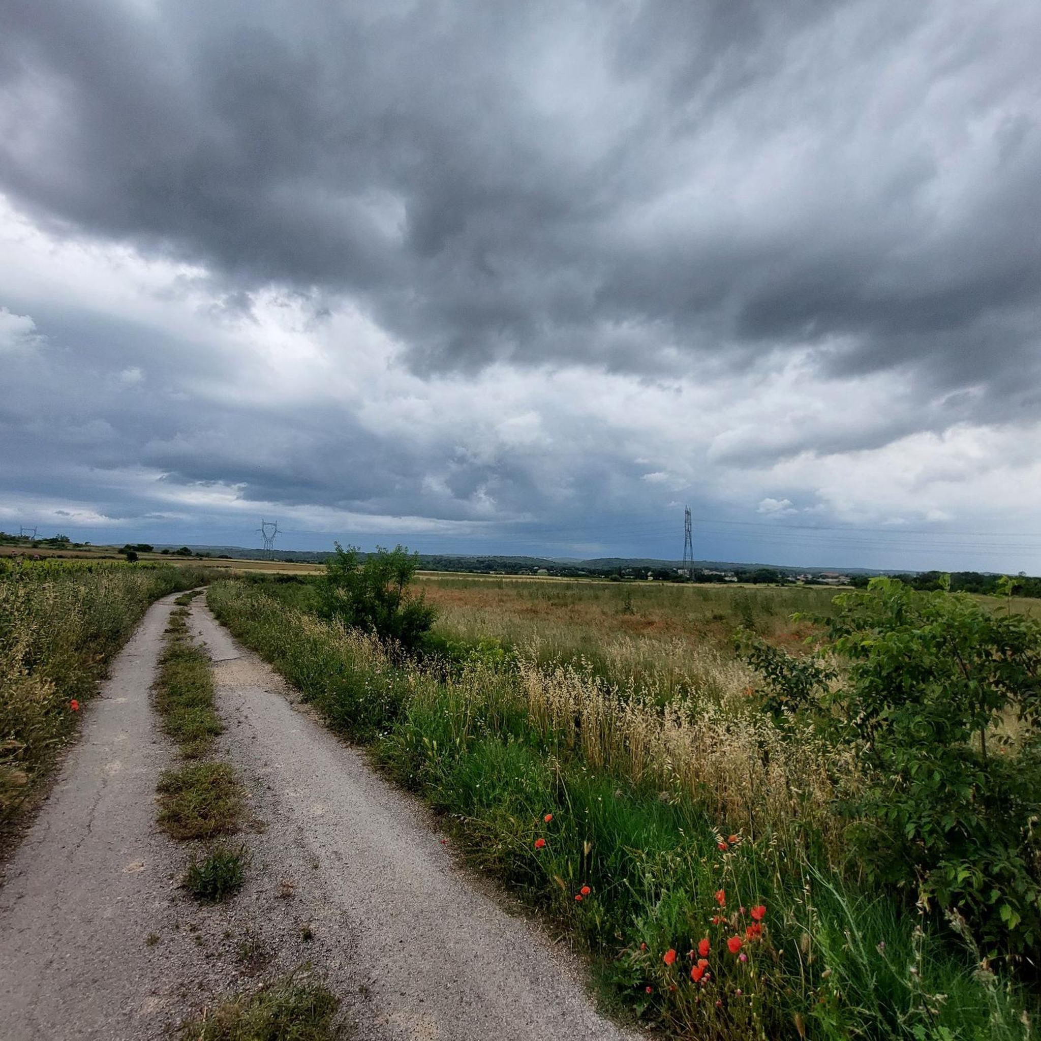
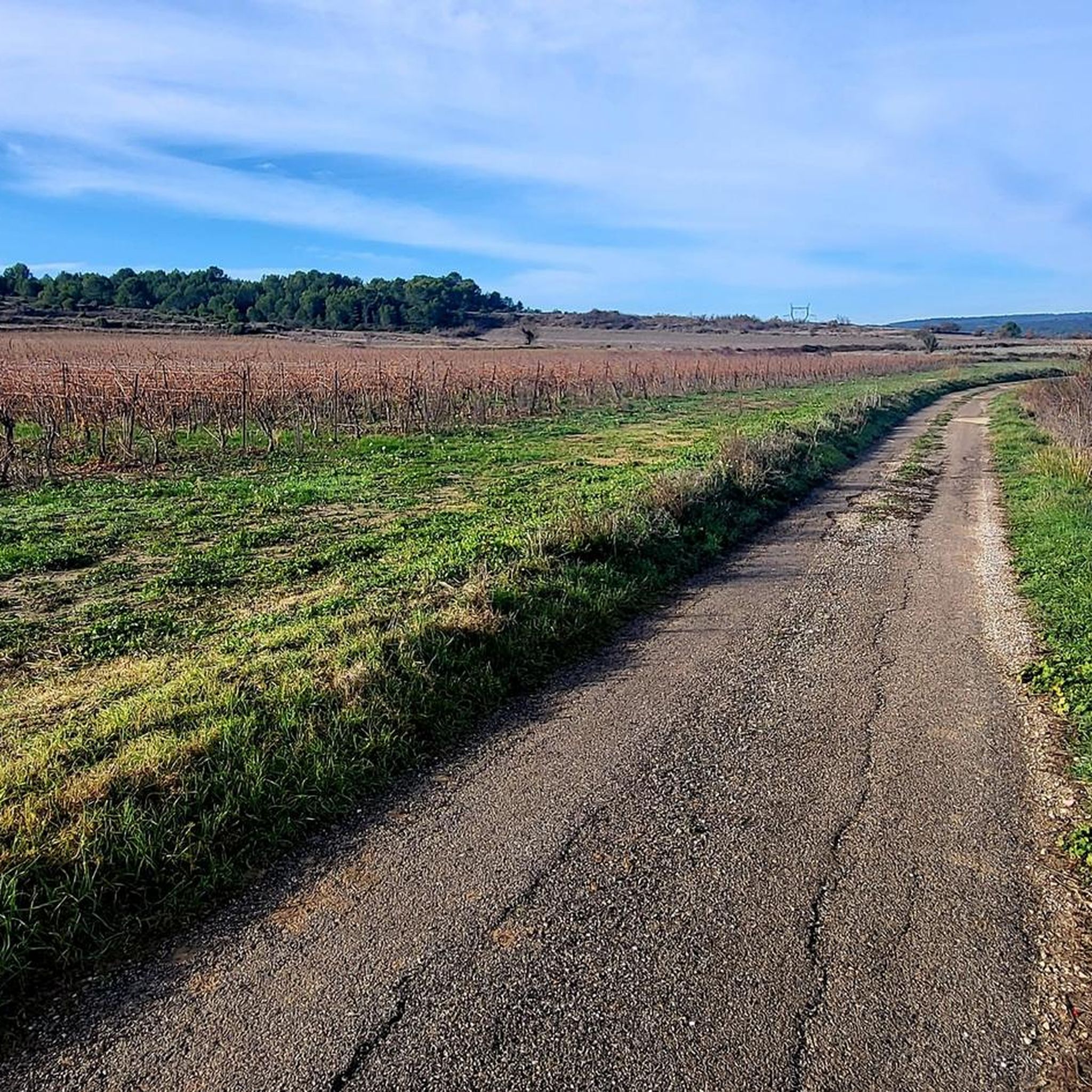
A beautiful track between the villages of St. Mamert du Gard and Fons
1
0
Old mill with a superb open view of the Vaunage! Picnic table and bench on site
2
0
Frequently Asked Questions
How many hiking trails are available around Parignargues?
There are over 150 hiking trails around Parignargues, offering a wide range of options for outdoor enthusiasts. These routes cater to various fitness levels, from easy strolls to more challenging paths.
What kind of terrain can I expect on hikes around Parignargues?
The terrain around Parignargues is diverse, characterized by the Gardon river, limestone cliffs, and Mediterranean garrigue. You'll find a mix of quiet paths and more technical single tracks, often traversing varied landscapes. Some areas feature unique geological formations, such as the Ochres of Fougeras.
What is the best time of year to go hiking in Parignargues?
The trails are best enjoyed during the dry season to avoid muddy conditions. Spring and autumn generally offer pleasant temperatures for hiking, allowing you to experience the region's natural beauty comfortably.
Are there options for different difficulty levels?
Yes, the area offers a good mix of difficulty levels. Out of 153 trails, 70 are considered easy, 81 are moderate, and 2 are more difficult. This ensures there's something for everyone, from leisurely walks to more strenuous adventures.
Are there any circular walks available around Parignargues?
Yes, many routes in the area are circular. For example, you can explore the natural environment around Clos Gaillard on the easy Le Clos Gaillard – loop starting from the Clos Gaillard car park. Another option is the Clock Tower loop from Saint-Côme-et-Maruéjols, which starts from a nearby village.
What natural features or landmarks can I see while hiking?
The region is rich in natural and historical landmarks. You can discover the unique geological formations of the Ochres of Fougeras, or explore historical remnants like the Roman Fountain of Ranquet and ancient Roman quarries. The Gorges du Gardon, a short distance away, also offer stunning scenery.
Are there any good viewpoints on the trails?
Absolutely. A notable viewpoint is Le Castellas – View over the Gardon, which offers panoramic views of the Gardon river. Another excellent spot is the Roc de Gachone – 4 Windmills, providing expansive views of the surrounding plain.
Are the hiking trails around Parignargues suitable for families?
Yes, there are many family-friendly options. The region offers leisurely walks and easy trails that are suitable for all ages. The nearby Parc naturel régional de Camargue also features kid-friendly trails with easy terrain, known for its diverse wildlife.
Can I bring my dog on the trails?
While many trails in France are dog-friendly, it's always recommended to keep your dog on a leash, especially in areas with wildlife or livestock. Please ensure you clean up after your pet to preserve the natural environment for everyone.
Where can I park when hiking in Parignargues?
Many trails, such as the Le Clos Gaillard loop, start directly from designated car parks. It's advisable to check the starting point of your chosen route for specific parking information.
Is public transport available to reach hiking starting points?
Public transport options directly to all hiking starting points may be limited in rural areas like Parignargues. It's often more convenient to travel by car to access the trailheads, especially for routes outside the immediate village center.
What do other hikers say about the trails in Parignargues?
The hiking routes in Parignargues are highly rated by the komoot community, with an average score of 4.4 stars from over 230 reviews. Hikers often praise the diverse landscapes, the blend of natural beauty and historical sites, and the well-maintained paths.
Most popular routes around Parignargues
Most popular attractions around Parignargues

Get inspired with the komoot mobile app


Explore more
Browse the best Hikes in other regions.
