The best mountain hikes around Sumiswald
5.0
(2)
12
hikers
4
hikes
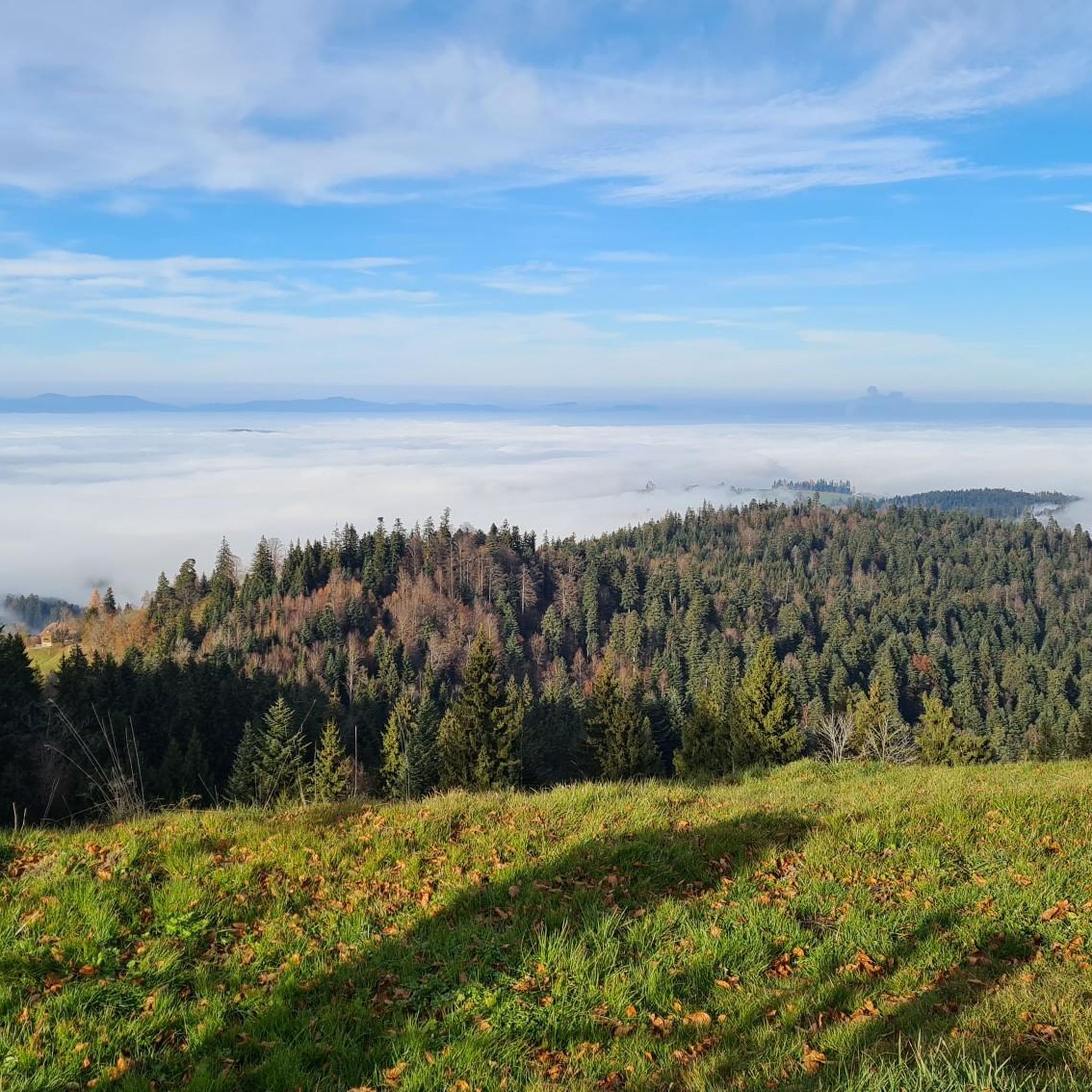
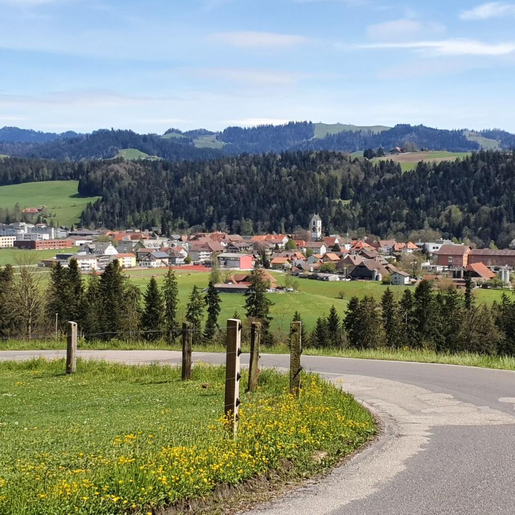
Mountaineering routes around Sumiswald traverse the distinctive rolling Emmental landscape, characterized by picturesque hills, forests, and elevated points. The region's topography provides a fulfilling experience for mountain-oriented excursions, with views extending to the Bernese Alps. A major highlight is the Napf Summit, the highest peak in the Emmental at 1408 meters, offering panoramic vistas. Trails often lead through unspoiled nature, shady forests, and along ridges.
Best mountaineering routes around Sumiswald
- The most popular mountaineering route is Hapfigchnubel loop from Napf…
Last updated: August 16, 2026
6
hikers
Moderate mountaineering route. Good fitness required. Easily-accessible paths. Suitable for all skill levels.
2
hikers
Hard mountaineering route. Very good fitness required. Mostly accessible paths. Sure-footedness required.

Sign up for free
3
hikers
Moderate mountaineering route. Good fitness required. Mostly accessible paths. Sure-footedness required.
5.0
(2)
1
hikers
6.84km
02:09
270m
270m
Moderate mountaineering route. Good fitness required. Easily-accessible paths. Suitable for all skill levels.
Our route recommendations are based on thousands of hikes, rides, and runs completed by other people on komoot.
Start today with a free account
Your next adventure awaits.
Login or Signup
Popular around Sumiswald

Alpine Panorama Trail in Switzerland – Keep your eyes on the mountains
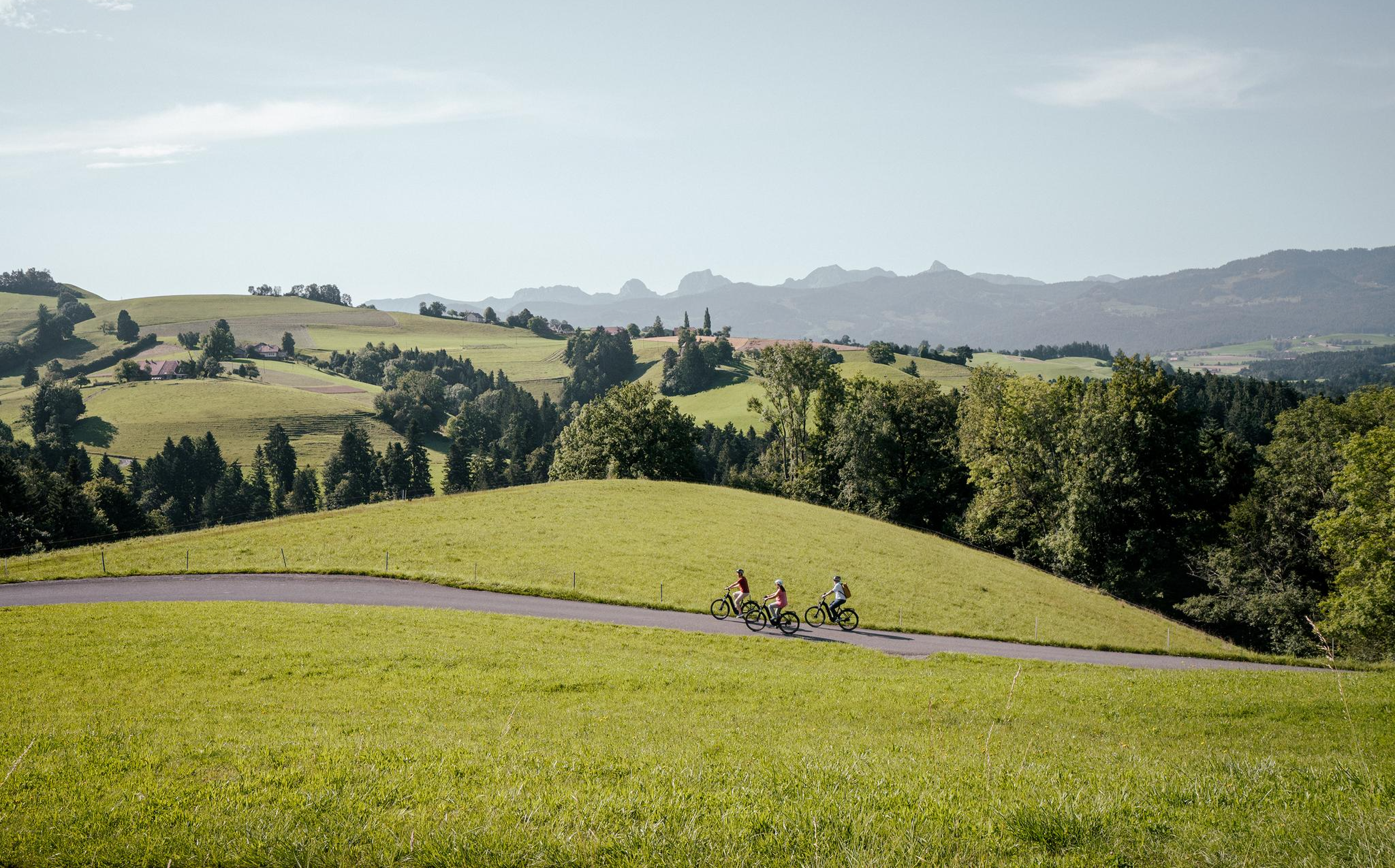
E-Biking in the Heart of Switzerland – the Top 10 Routes in Bern
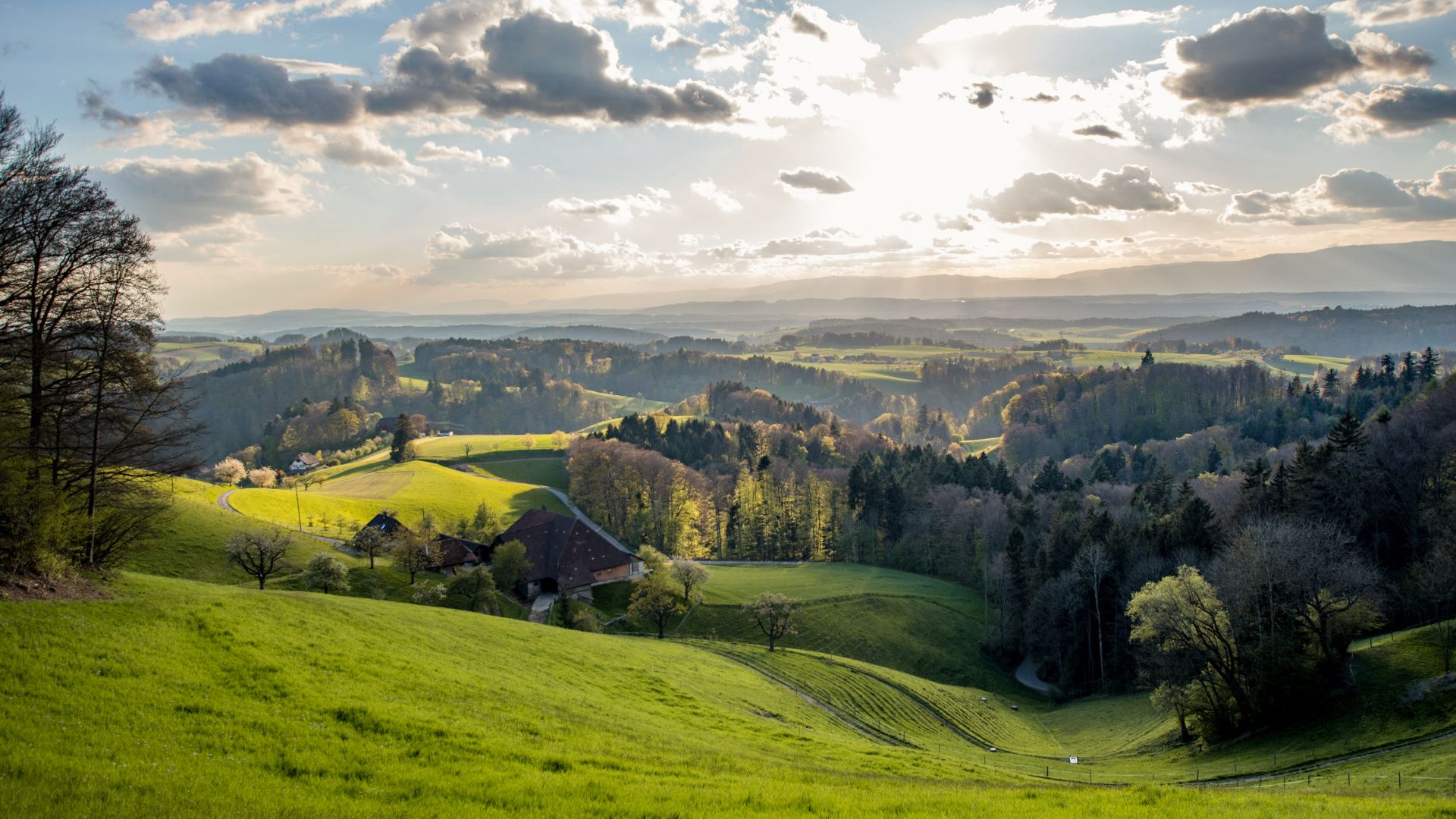
Around the Oberaargau with the IBL Challenge
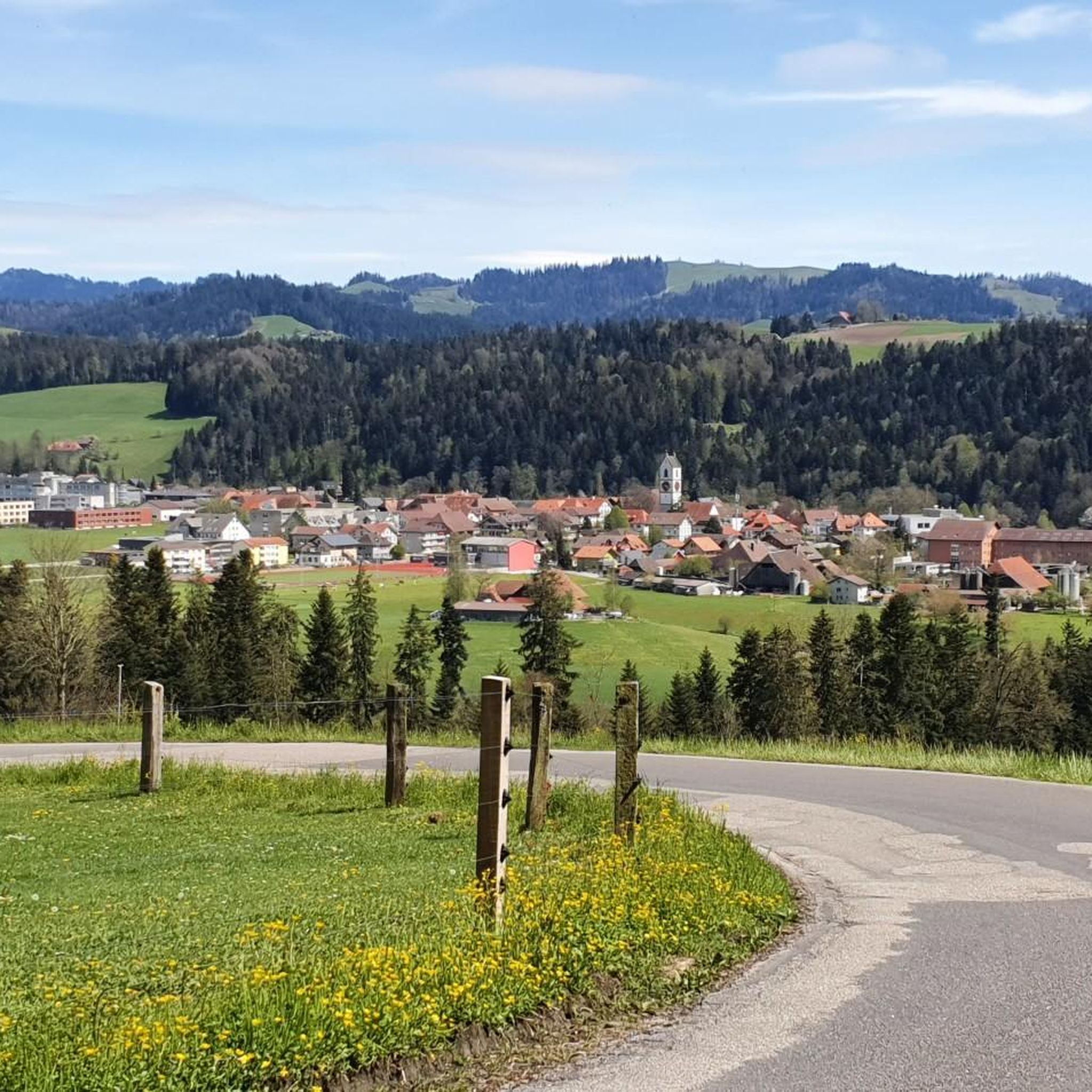
Hiking around Sumiswald
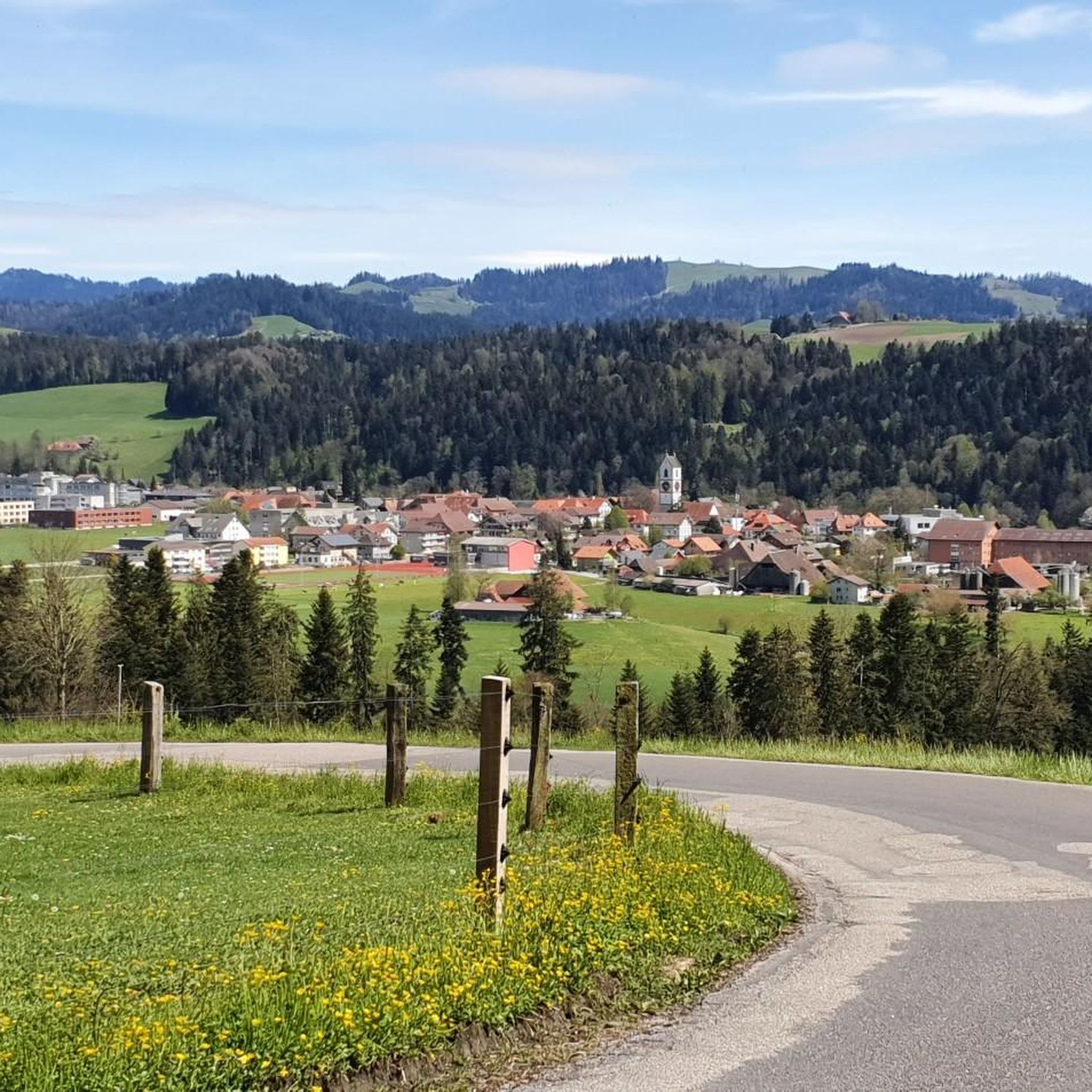
MTB Trails around Sumiswald
Cycling around Sumiswald
Road Cycling Routes around Sumiswald
Gravel biking around Sumiswald
Running Trails around Sumiswald
Other adventures around Sumiswald


Tips from the Community


very pretty, this area
1
0
very pretty, this area
2
0
Frequently Asked Questions
What kind of landscape can I expect on mountaineering routes around Sumiswald?
Mountaineering routes around Sumiswald traverse the distinctive rolling Emmental landscape, characterized by picturesque hills, forests, and elevated points. You'll find trails leading through unspoiled nature, shady forests, and often along ridges that provide sweeping views of the Emmental and distant Bernese Alps.
Are there any challenging mountaineering routes in Sumiswald?
Yes, for those seeking a more demanding experience, there is a difficult route available. Consider the Stächelegg Mountain Inn – View of the Bernese Oberland from Napf loop from Fankhaus Schulhaus, which covers 15.7 km and typically takes over 5 hours to complete, offering extensive views towards the Bernese Oberland from the Napf.
What are the best viewpoints or natural features to look out for?
A major highlight is the Napf Summit, standing at 1408 meters, which is the highest peak in the Emmental and offers panoramic views extending to the Bernese Alps, the Jura, and beyond. The Lüderenalp, at 1150 meters, also serves as a popular starting point for scenic trails with great vistas.
Are there any circular mountaineering routes available?
Yes, several routes are designed as loops. For example, you can explore the Hapfigchnubel loop from Napf, a moderate 7 km trail, or the Mountaineering loop from Luthern Bad, which is 8.5 km long and leads through the hilly Emmental terrain.
What do other mountaineers say about the routes in Sumiswald?
The mountaineering routes in Sumiswald are highly regarded by the komoot community, with an average score of 5.0 stars. Users often praise the varied terrain, the stunning panoramic views from elevated points like the Napf, and the well-maintained trails through forests and along ridges.
Are there any caves or gorges to explore near the mountaineering trails?
Yes, the region around Sumiswald features interesting natural formations. You can find highlights such as Gisnauflüe Ruins and Caves or the Walk-Through Cave with Stream. For gorges, consider visiting the Mutzbach Stream or the dramatic Kl. Fontanne area.
Are there any waterfalls along the routes or nearby?
While the primary focus of mountaineering routes is on the elevated terrain, you can find natural water features nearby. For instance, there's a notable Waterfall on the trail between Menzberg and Wolhusen, which is part of the wider regional attractions.
How many mountaineering routes are there in Sumiswald?
There are several mountaineering routes around Sumiswald, offering a range of experiences. Currently, komoot features four distinct routes, including moderate and difficult options, to help you explore the Emmental landscape.
What is the typical duration for a mountaineering tour in Sumiswald?
The duration varies depending on the route's length and difficulty. Moderate routes like the Waldhäusern Inn – Moosegg Viewpoint loop from Blasen can take around 2 hours and 9 minutes, while more challenging options may extend to over 5 hours.
Is Sumiswald suitable for beginner mountaineers?
Yes, Sumiswald offers moderate routes that are suitable for beginners looking to gain experience in mountain-oriented excursions. These trails provide a fulfilling experience without extreme technical demands, allowing you to enjoy the scenic Emmental landscape.
Are there places to eat or rest along the mountaineering trails?
The hiking experience in the Sumiswald region is enhanced by the presence of many mountain restaurants. These establishments provide convenient places for hikers to rest, refuel, and enjoy local hospitality amidst the beautiful scenery.
What are the best times of year for mountaineering in Sumiswald?
The region is generally best explored from spring through autumn when trails are clear of snow and weather conditions are more stable. The 'fog-free altitude' of many viewpoints makes it ideal for clear vistas during these seasons.
Most popular routes around Sumiswald
Most popular attractions around Sumiswald

Get inspired with the komoot mobile app


Explore more
Browse the best Mountain Hikes & Routes in other regions.
