The best mountain hikes around Attiswil
5.0
(16)
81
hikers
14
hikes
Mountaineering routes around Attiswil are situated in the canton of Bern, Switzerland, offering a diverse landscape that includes the plains near the Aare river and the imposing Jura Mountains. The region is characterized by extensive forests and numerous peaks, providing opportunities for challenging ascents and panoramic views. Notable features include the Bettlerküche mountain and other significant summits like Weissenstein, Hohe Winde, and Röti, which offer impressive vantage points over the Central Plateau and the Alps.
Best mountaineering routes around Attiswil
…Last updated: July 6, 2026
5.0
(3)
23
hikers
7.79km
03:44
650m
650m
Hard mountaineering route. Good fitness required. Sure-footedness, sturdy shoes and alpine experience required.
5.0
(2)
9
hikers
4.62km
03:03
540m
540m
Hard mountaineering route. Good fitness required. Sure-footedness, sturdy shoes and alpine experience required.

Sign up for free
7
hikers
7.52km
03:49
630m
620m
Hard mountaineering route. Good fitness required. Sure-footedness, sturdy shoes and alpine experience required.
5.0
(1)
8
hikers
7.60km
02:40
350m
350m
Moderate mountaineering route. Good fitness required. Mostly accessible paths. Sure-footedness required.
2
hikers
Hard mountaineering route. Very good fitness required. Sure-footedness, sturdy shoes and alpine experience required.
Get access to more routes and recommendations from other explorers.
Sign up for free
Already have an account?
Our route recommendations are based on thousands of hikes, rides, and runs completed by other people on komoot.
Start today with a free account
Your next adventure awaits.
Login or Signup
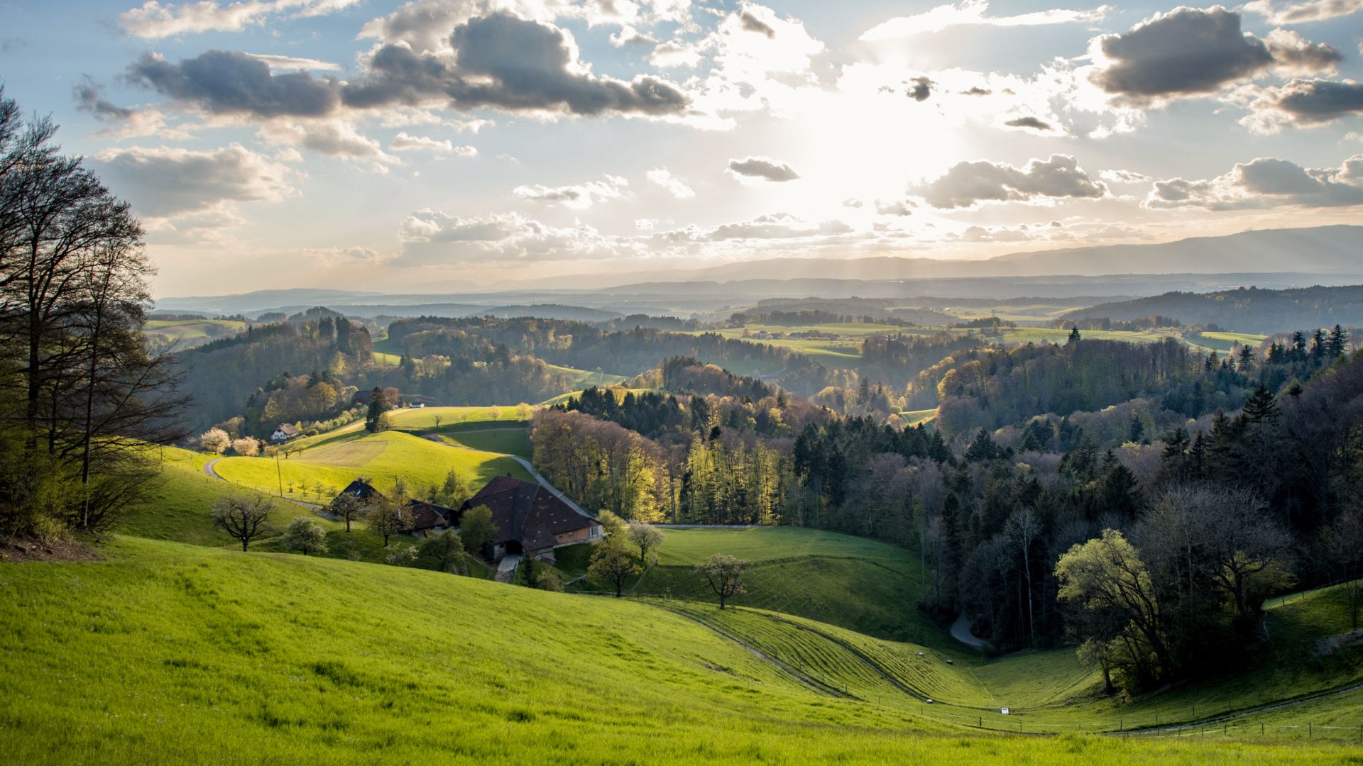
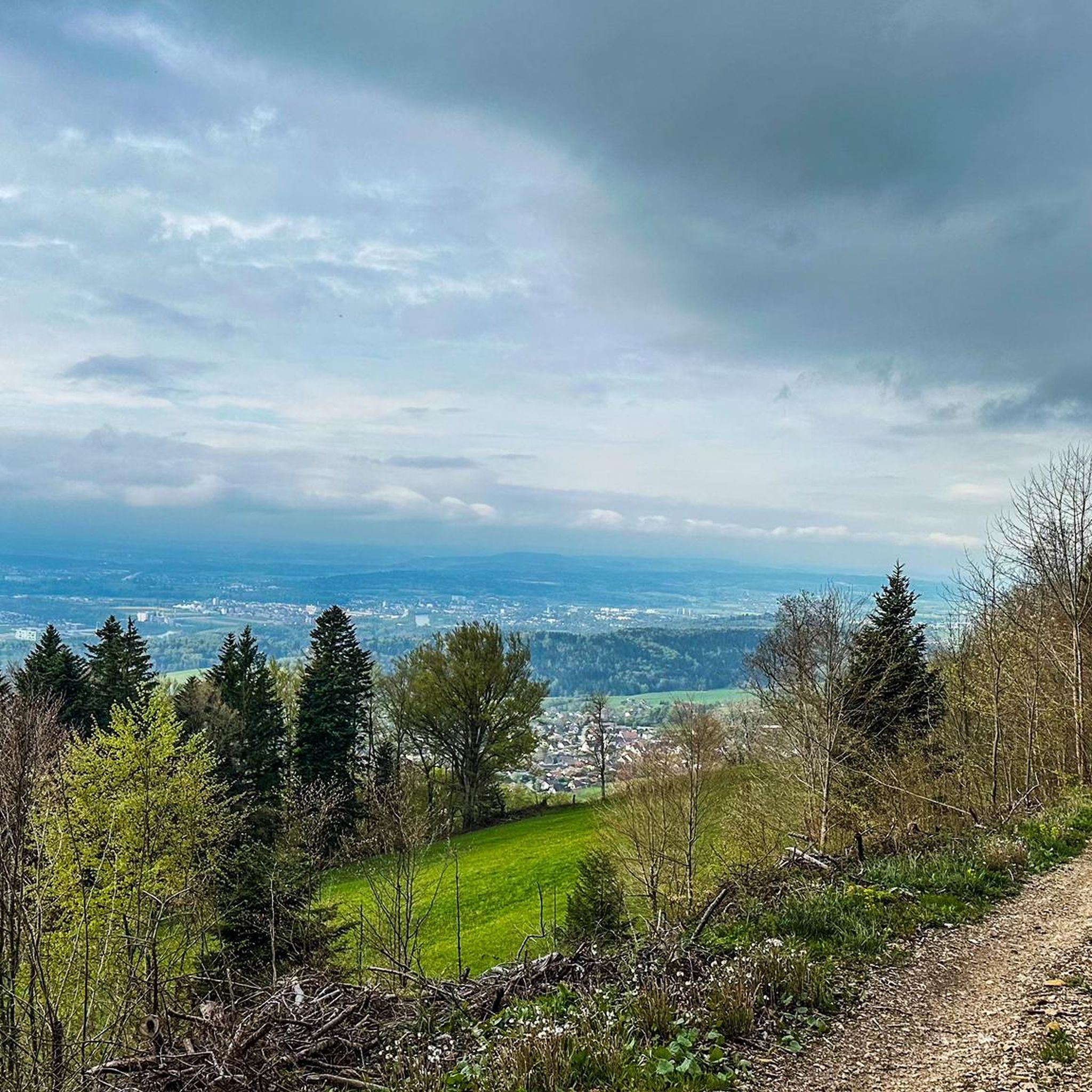
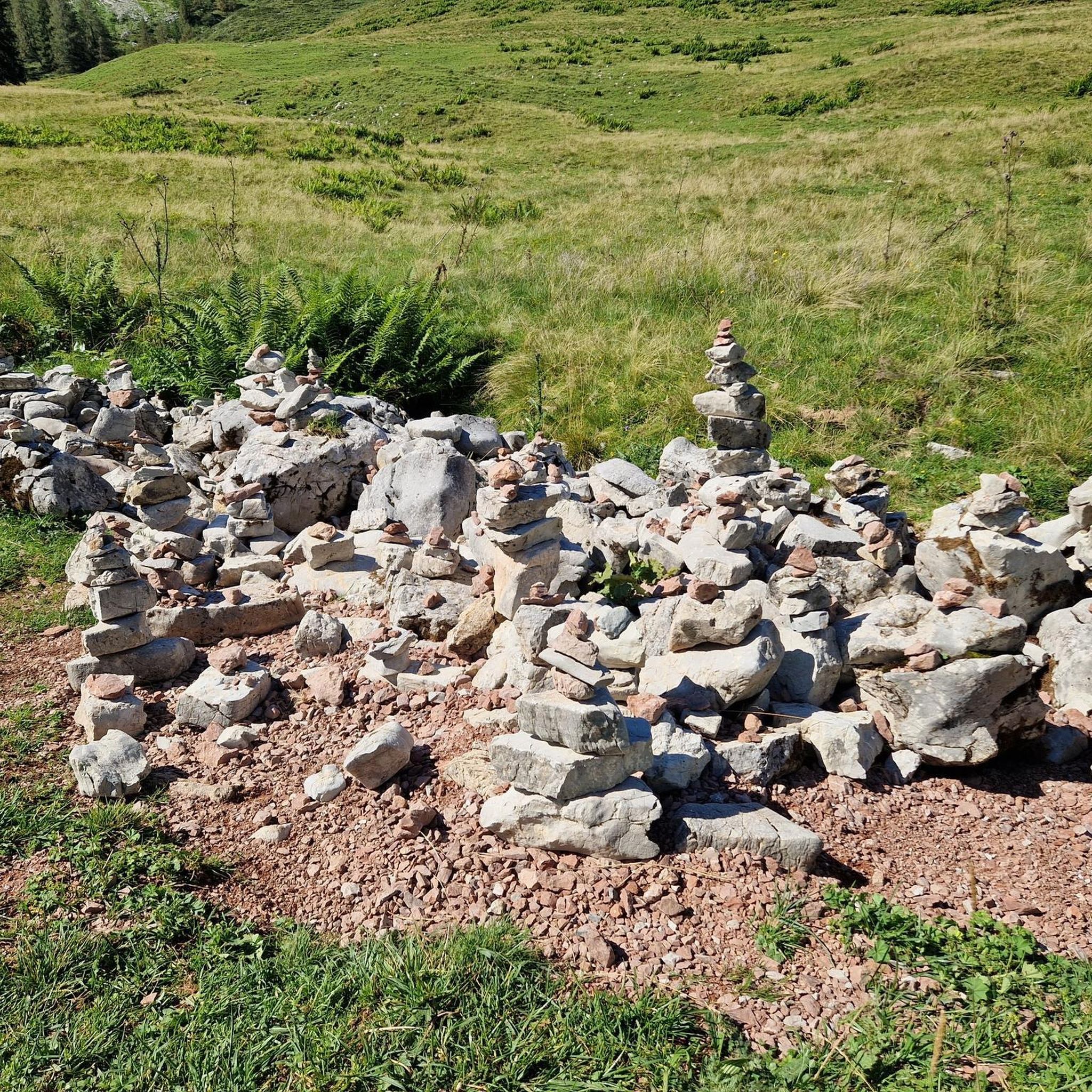
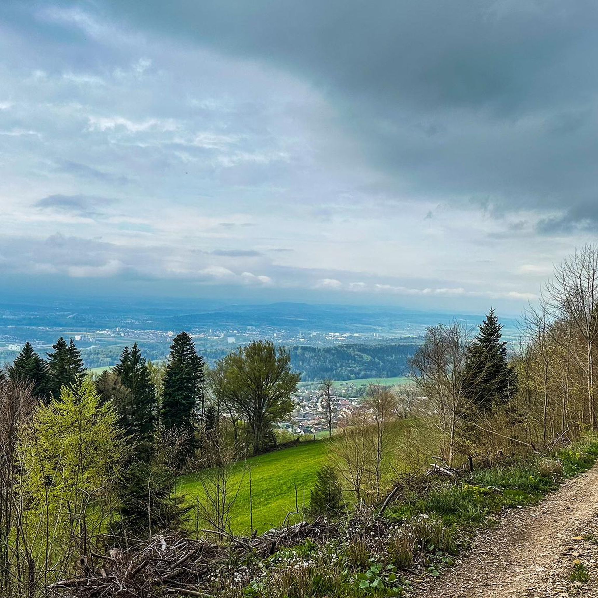
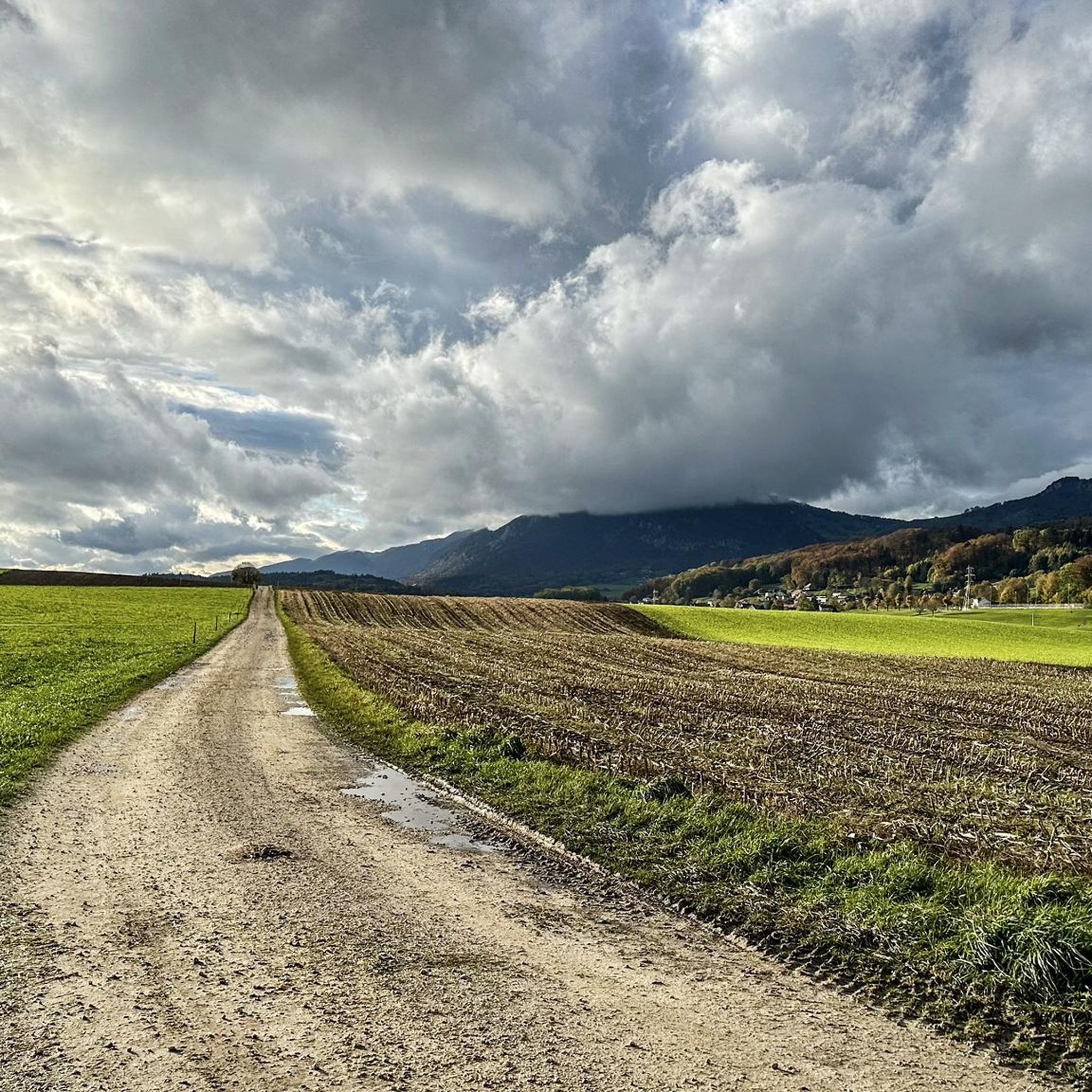
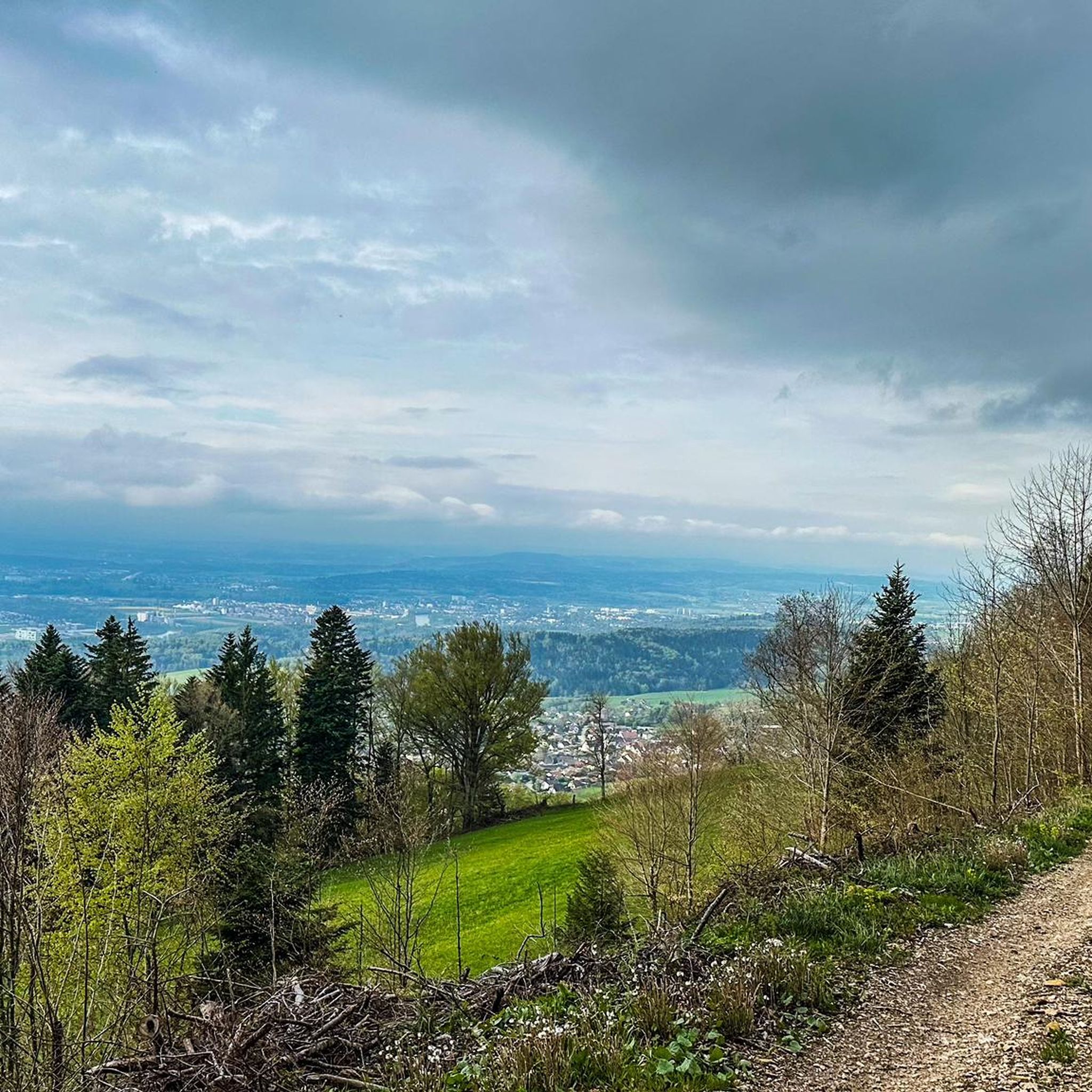
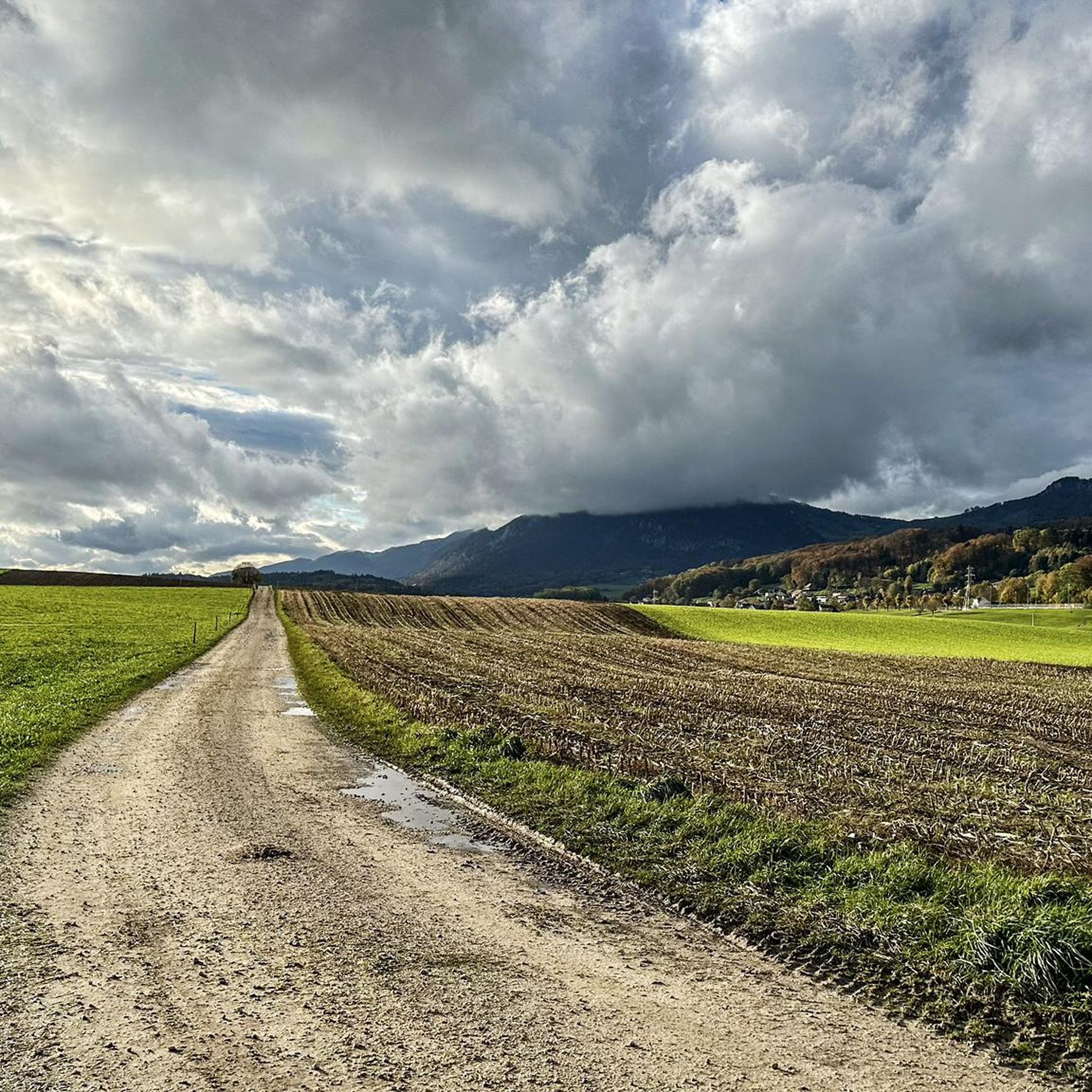
Other adventures around Attiswil

Tips from the Community

pretty here, very pretty
1
0

The Herrenloch is a cave with two entrances - a kind of tunnel - below the Balmfluechöpfli. It can be reached by trails both from the west ridge of the Balmfluechöpfli and as the end of the Hornpfad. The exit on the east side is reserved for the very experienced only; there has also been a fatal fall here. From the western entrance of the Herrenloch, you can also climb directly to the summit of the Balmfluechöpfli via trails.
0
0

wonderful and very beautiful area here
2
0
wonderful and very beautiful area here
3
0
Frequently Asked Questions
What kind of mountaineering routes can I find around Attiswil?
Attiswil, located in the canton of Bern, Switzerland, offers a diverse range of mountaineering routes primarily within the Jura Mountains. You'll find paths leading to significant summits like Weissenstein, Hohe Winde, and Röti, providing both physical challenges and breathtaking panoramic views. The routes vary in difficulty, with a strong emphasis on more challenging ascents.
Are there any beginner-friendly mountaineering routes in Attiswil?
While many routes around Attiswil are rated as difficult, there are a few moderate options available for those newer to mountaineering or seeking a less strenuous experience. For example, the region offers a total of 3 moderate routes out of 16, providing a good starting point to explore the mountainous terrain.
What are some of the most scenic viewpoints accessible via mountaineering routes?
The Jura Mountains around Attiswil are renowned for their impressive viewpoints. Peaks like Weissenstein offer unique panoramic views stretching from Säntis to Mont Blanc on clear days. The View from Balmfluehchöpfli – Röti Summit (1,395 m) loop from Balm b. Günsberg is particularly noted for its impressive vistas over the Central Plateau, the Jura, and the Alps from Röti Summit.
Are there any circular mountaineering routes available?
Yes, many of the mountaineering routes around Attiswil are designed as loops, allowing you to start and end at the same point. A popular example is the Herrenloch Cave – View from Balmfluehchöpfli loop from Rüttenen, which is a challenging 7.6 km trail offering scenic viewpoints.
What is the best time of year for mountaineering in Attiswil?
The mountainous terrain around Attiswil is generally best explored during seasons with stable weather conditions, typically from late spring to early autumn. This period offers clearer paths, more pleasant temperatures, and the best chances for unobstructed panoramic views from the summits.
What kind of natural features or landmarks can I expect to see along the routes?
Beyond the impressive mountain peaks, the region boasts extensive forests and unique geological formations. You might encounter features like the Herrenloch Cave, or enjoy the varied terrain leading to viewpoints such as Balmfluehchöpfli. The area is characterized by the natural beauty of the Jura Mountains.
Are there any family-friendly options for exploring the mountains near Attiswil?
While many mountaineering routes are challenging, some areas offer more accessible paths. For instance, the Weissenstein area, though a bit further, has paths suitable for strollers and wheelchairs, making it a good option for families looking for scenic views without extreme difficulty. For a moderate mountaineering experience, look for routes with less elevation gain.
Where can I find places to eat or stay near the mountaineering routes?
The region around Attiswil offers various amenities. For example, the Weissenstein boasts a hotel and spa with a large viewing terrace. Along some routes, you might find mountain restaurants or huts. The Hofbergli Mountain Restaurant is one such option, providing a place to rest and refuel during your adventure.
What do other mountaineers say about the routes in Attiswil?
The mountaineering routes around Attiswil are highly regarded by the komoot community, holding an impressive average rating of 5.0 stars from over 10 reviews. More than 80 mountaineers have already explored this varied terrain, often praising the challenging ascents and the rewarding panoramic views from the summits.
How can I reach the starting points of mountaineering routes using public transport?
Attiswil is located in a region with public transport options, though specific access to trailheads can vary. For some popular areas like Weissenstein, cable car access is available, which can connect to public transport networks. It's advisable to check local bus or train schedules to plan your journey to the starting points of your chosen routes.
Are there any specific highlights or attractions near the mountaineering trails?
Yes, the area around Attiswil offers several interesting highlights. You can explore natural wonders like the Verenaschlucht and Hermitage or the Wolf Gorge. For those interested in mountain passes, the Balmberg Pass Summit is also nearby.
What is the typical duration for a mountaineering route in Attiswil?
The duration of mountaineering routes in Attiswil varies significantly based on distance and difficulty. For instance, a challenging route like the View from Balmfluehchöpfli – Mättu Wändli Climbing Path loop from Rüttenen, which is 6.1 km long, typically takes around 3 hours and 53 minutes to complete due to its significant elevation gain.
Most popular routes around Attiswil
Most popular attractions around Attiswil

Get inspired with the komoot mobile app


Explore more
Browse the best Mountain Hikes & Routes in other regions.
