Top 5 Mountain Passes around Blieux
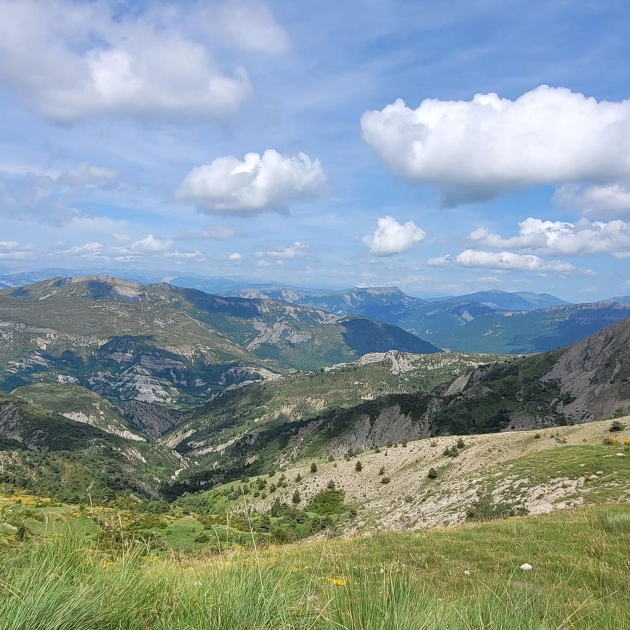
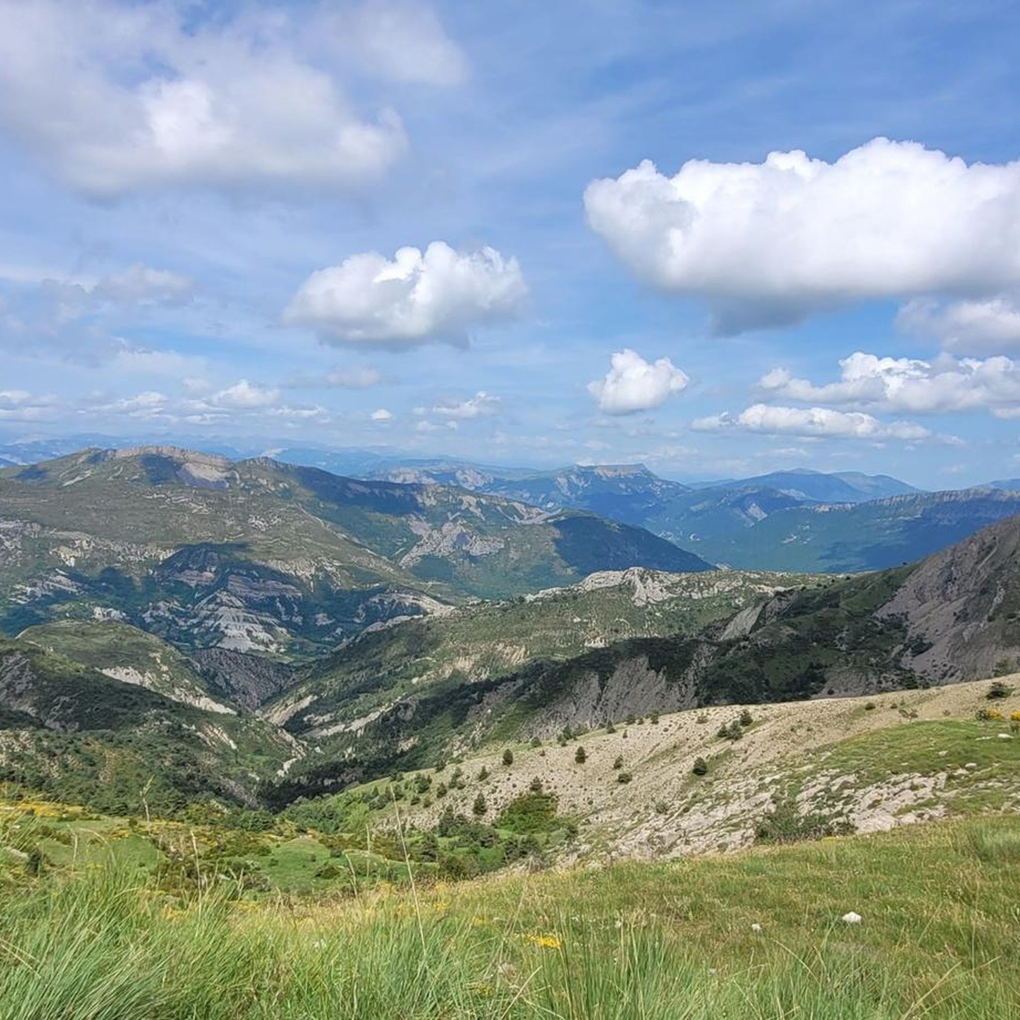
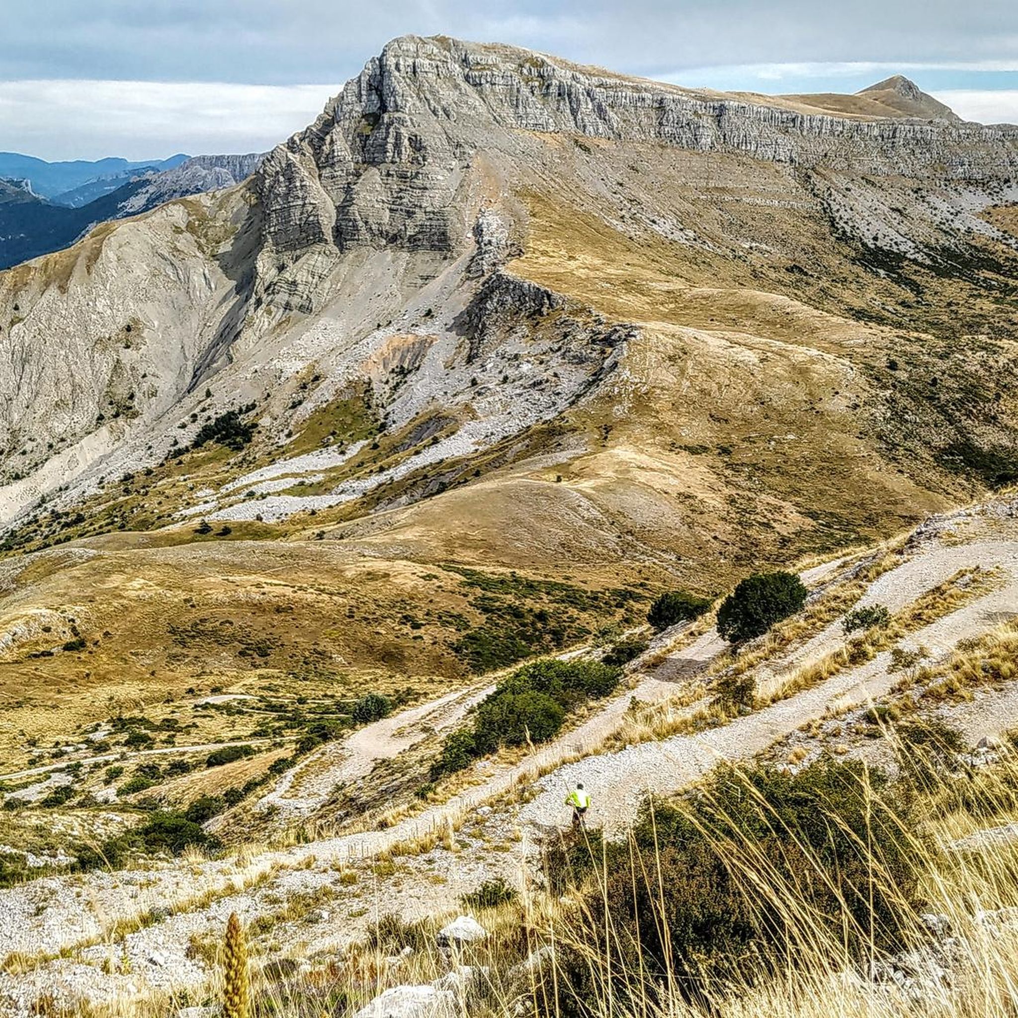
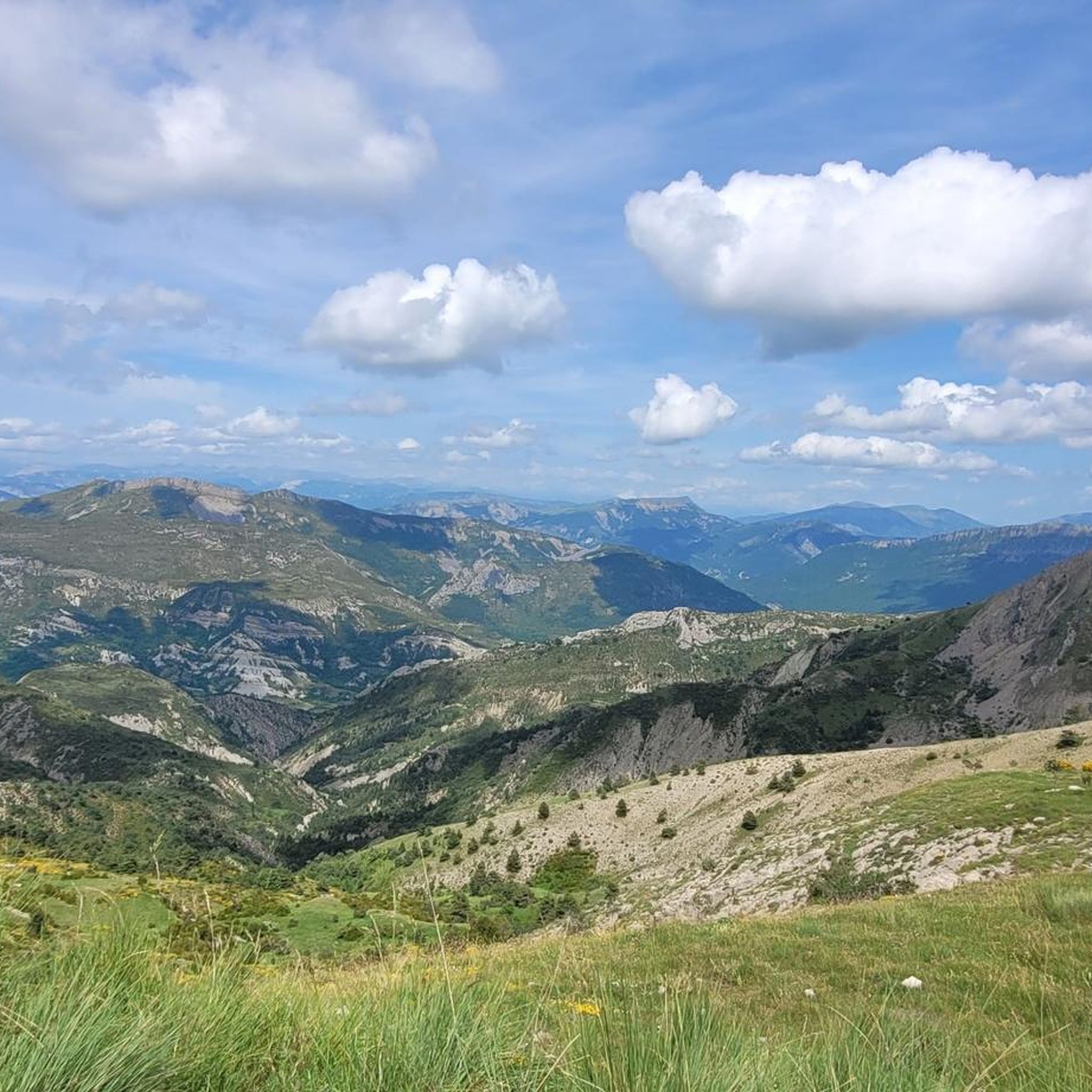
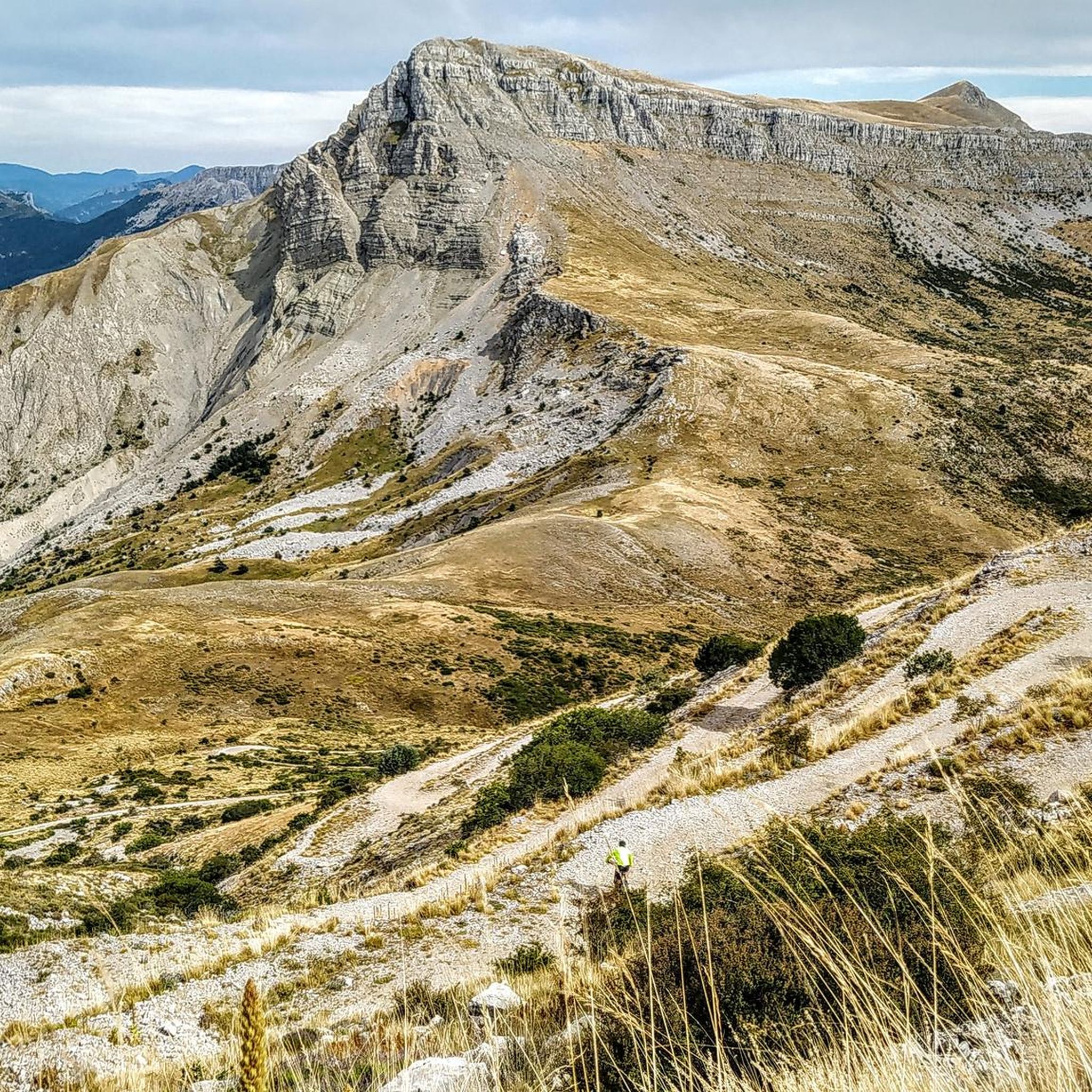
Best mountain passes around Blieux are situated in the Alpes-de-Haute-Provence region of France. The area is located within the Verdon Regional Natural Park and the Haute-Provence Geological Reserve. Surrounding peaks include Mourre de Chanier and Mont Chiran. This location provides access to various mountain passes for exploration.
Best mountain passes around Blieux
- The most popular mountain passes is Corobin Pass, a mountain_pass that peaks at 1,211 meters. It offers ascents with varied gradients, including sections averaging 9%.
- Another must-see…
Last updated: July 10, 2026
Route des Crêtes in reverse
Highlight (Segment) • Trail
Otherwise, a breathtaking route.
Translated by Google •
Tip by

Corobin Pass
Highlight • Mountain Pass
Translated by Google •
Tip by

Sign up now to discover places like this
Get recommendations on the best single tracks, peaks, & plenty of other exciting outdoor places.
Sign up for free
Col des Lèques (1146 m)
Highlight • Mountain Pass
Translated by Google •
Tip by

Saint-Jurs Pass
Highlight • Mountain Pass
Translated by Google •
Tip by

Col de la Mort de l'Homme
Highlight • Mountain Pass
Translated by Google •
Tip by

Start today with a free account
Your next adventure awaits.
Login or Signup

Tips from the Community

The circular hike was closed, the campsite and the cafe were closed
0
0

The western access is good for climbing and the eastern access for descending; we had little traffic.
1
0

The southern slope, from Chaudon-Norante, is advertised at an average gradient of 6.6% for a length of about 8km. But the road has 4 or 5 flat sections over 150 or 200m, which means that in reality we are very often on slopes between 8 and 10%. This pass nevertheless remains accessible to any moderately trained cyclist and, the icing on the cake, it is reserved for cyclists at certain times during the summer. The view at the summit is magnificent.
0
0

The Col de Corobin from Chaudon-Norante is a climb in the Alpes de Haute Provence region. It has a length of 7.7 kilometers and an ascent of 535 vertical meters with an average gradient of 7%, which implies a difficulty level of 413. The top of the ascent is located at 1,220 meters above sea level. On the other hand, from Digne-les-Bains via Col de Pierre Basse, it is 14.6 kilometers long and climbs 650 vertical meters with an average gradient of 4.4%, which implies a difficulty level of 448.
2
0

The Corobin pass peaks at 1,211 meters. From Digne-les-Bains a fairly long slope of almost 16 kilometers awaits you. The first eight are pretty straightforward. You will cross the intermediate Col des Abeilles (710 meters). Secondly, you will see the slope steepen quite significantly over 3.3 kilometers at almost 9% on average to reach the second intermediate pass, that of Pierre Basse (1,065 meters). Arriving at this pass, take the time to breathe, a flat area then a slight descent over three kilometers towards the hamlet of La Clappe will help you. Then, return to the attack for 1.4 kilometers at an 8% average, taking the eight bends which will allow you to cross the summit of the Col du Corobin.
2
0

A pretty mountain pass at 1,318 meters above sea level above the town of Saint-Jurs. Note that the road between Saint-Jurs and the pass is almost exclusively unpaved gravel, so a gravel bike is preferable!
1
0

The Col de Lecques from Castellane is 9km long with an average gradient of 4.5%.
1
0
The Col du Corbin from Digne-les-Bains is 12.30 km long, with an average gradient of 4.3%.
1
0
Frequently Asked Questions
What makes the mountain passes around Blieux unique?
The mountain passes near Blieux are situated within the stunning Verdon Regional Natural Park and the Haute-Provence Geological Reserve. This prime location offers spectacular peaks like Mourre de Chanier and Mont Chiran, providing diverse terrain from challenging paved climbs to rugged unpaved routes, all set against a backdrop of magnificent natural beauty.
Which mountain passes offer challenging climbs for road cyclists?
The Corobin Pass is an excellent choice for cyclists seeking a challenge. From Digne-les-Bains, it features a nearly 16-kilometer ascent with sections averaging almost 9% gradient. The ascent from Chaudon-Norante is 7.7 kilometers long with an average gradient of 7%, offering a rewarding experience with magnificent views from the summit.
Are there mountain passes suitable for gravel biking or off-road adventures?
Yes, the Saint-Jurs Pass is particularly appealing for gravel bikers or those who enjoy off-road cycling and hiking. The road leading to this pass from Saint-Jurs is almost entirely unpaved gravel, offering a more rugged and adventurous experience away from paved roads and heavier traffic.
What kind of views can I expect from the mountain passes near Blieux?
Many passes, such as the Corobin Pass, offer magnificent panoramic vistas of the surrounding Alpes-de-Haute-Provence landscape. The region's location within the Verdon Regional Natural Park ensures breathtaking natural scenery, including views of spectacular peaks and valleys.
What outdoor activities can I do near the mountain passes around Blieux?
The Blieux region is ideal for various outdoor activities. You can explore numerous hiking trails, including moderate to difficult mountain hikes like the 'Portail de Blieux – Le Chiran loop' or 'Mourre de Chanier loop'. There are also MTB trails available, such as the 'Le Chiran – Le Chiran (1,905 m) loop'. For more details, check out the Hiking around Blieux and MTB Trails around Blieux guides.
Are there hiking trails accessible from the mountain passes?
Yes, several mountain passes serve as starting points or offer access to hiking trails. For instance, the area around Col des Lèques (1146 m) provides access to routes like the 'Amazing view of the valley – Narrow Rock Passage loop'. You can find more options in the Mountain Hikes around Blieux guide.
When is the best time of year to visit the mountain passes around Blieux?
The region is generally best visited during spring, summer, and early autumn for hiking and cycling, when the weather is mild and the passes are clear of snow. Summer offers warm temperatures, while spring and autumn provide pleasant conditions with fewer crowds and vibrant natural colors. Winter can bring snow, making some passes challenging or inaccessible.
Are there any historical points of interest related to the mountain passes?
Yes, the Corobin Pass has historical significance. It's noted that Napoleon himself took this pass, avoiding the route through the valley, which adds an interesting historical layer to its scenic beauty.
Can I find family-friendly options among the mountain passes or nearby trails?
While some mountain passes offer challenging routes, the broader Blieux area within the Verdon Regional Natural Park includes trails suitable for families. For example, the 'Blieux Waterfall loop' is an easy hiking option. When planning, look for trails marked as 'easy' or 'moderate' in the hiking guides for the region.
What amenities are available in Blieux itself, near the mountain passes?
Blieux is a charming village that serves as a gateway to the surrounding passes. While specific amenities directly at the passes might be limited, Blieux and nearby towns offer cafes, restaurants, and accommodation options. For more information on local services, you might consult local tourism resources.
Is there public transport available to reach the mountain passes around Blieux?
Public transport options directly to the mountain passes are generally limited. It is often recommended to use a personal vehicle or bicycle to access these areas, especially for flexibility in exploring the various passes and trailheads. Blieux itself may have limited public transport connections to larger towns.
What should I know about the road conditions for the <a href="https://www.komoot.com/highlight/3485098" target="_blank" rel="noopener">Col des Lèques (1146 m)</a>?
The Col des Lèques (1146 m) offers different experiences depending on the approach. The ascent from Castellane is 9 km long with an average gradient of 4.5%. Visitors have noted that the western access is good for climbing, while the eastern access is better for descending, and traffic is generally light.
Most popular routes around Blieux
Most popular attractions around Blieux

Get inspired with the komoot mobile app


Explore more
See even more epic mountain passes by checking out these guides around Blieux:
