Top 6 Mountain Passes around Chaudon-Norante
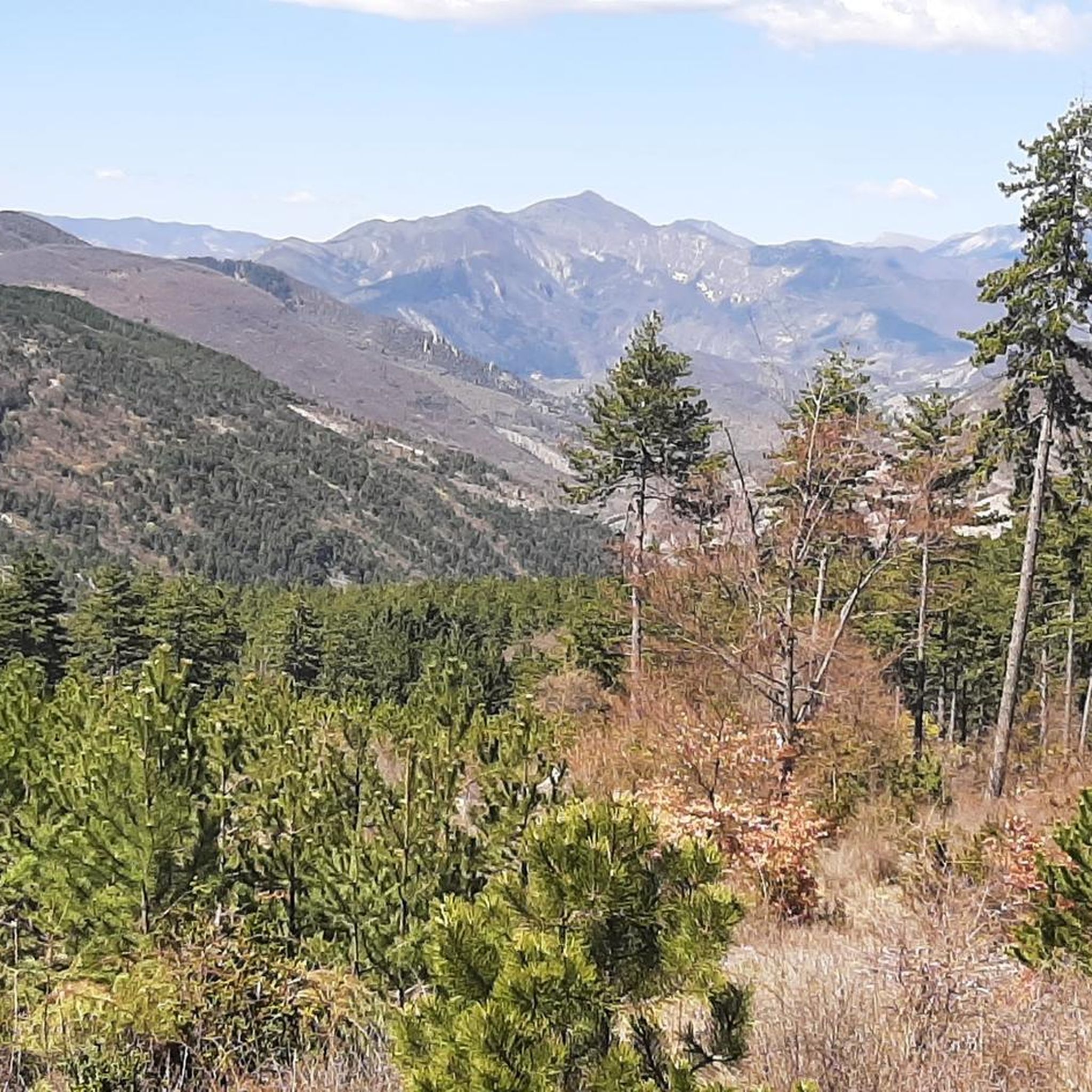
Mountain passes around Chaudon-Norante, located in the Alpes-de-Haute-Provence region of France, provide access to varied terrain for outdoor activities. The area features natural landscapes with routes suitable for both cyclists and hikers. These passes offer diverse experiences, from challenging ascents to scenic viewpoints. The region is characterized by its tranquil surroundings and panoramic vistas.
Best mountain passes around Chaudon-Norante
- The most popular mountain passes is Col du Défens (1,230 m), a mountain pass, viewpoint, and trail. It features a…
Last updated: July 10, 2026
Col du Défens (1,230 m)
Highlight • Mountain Pass
Translated by Google •
Tip by

Corobin Pass
Highlight • Mountain Pass
Translated by Google •
Tip by

Sign up now to discover places like this
Get recommendations on the best single tracks, peaks, & plenty of other exciting outdoor places.
Sign up for free
Col de Pierre Basse
Highlight • Mountain Pass
From Digne-les-Bains, the 7.6 kilometer climb includes portions between 5 and 9.5%, enough to tickle your legs.
Translated by Google •
Tip by

L'Orme Pass
Highlight • Mountain Pass
Translated by Google •
Tip by
Saint-Jurs Pass
Highlight • Mountain Pass
Translated by Google •
Tip by

Sign up for free to discover even more mountain passes around Chaudon-Norante.
Sign up for free
Already have an account?
Start today with a free account
Your next adventure awaits.
Login or Signup
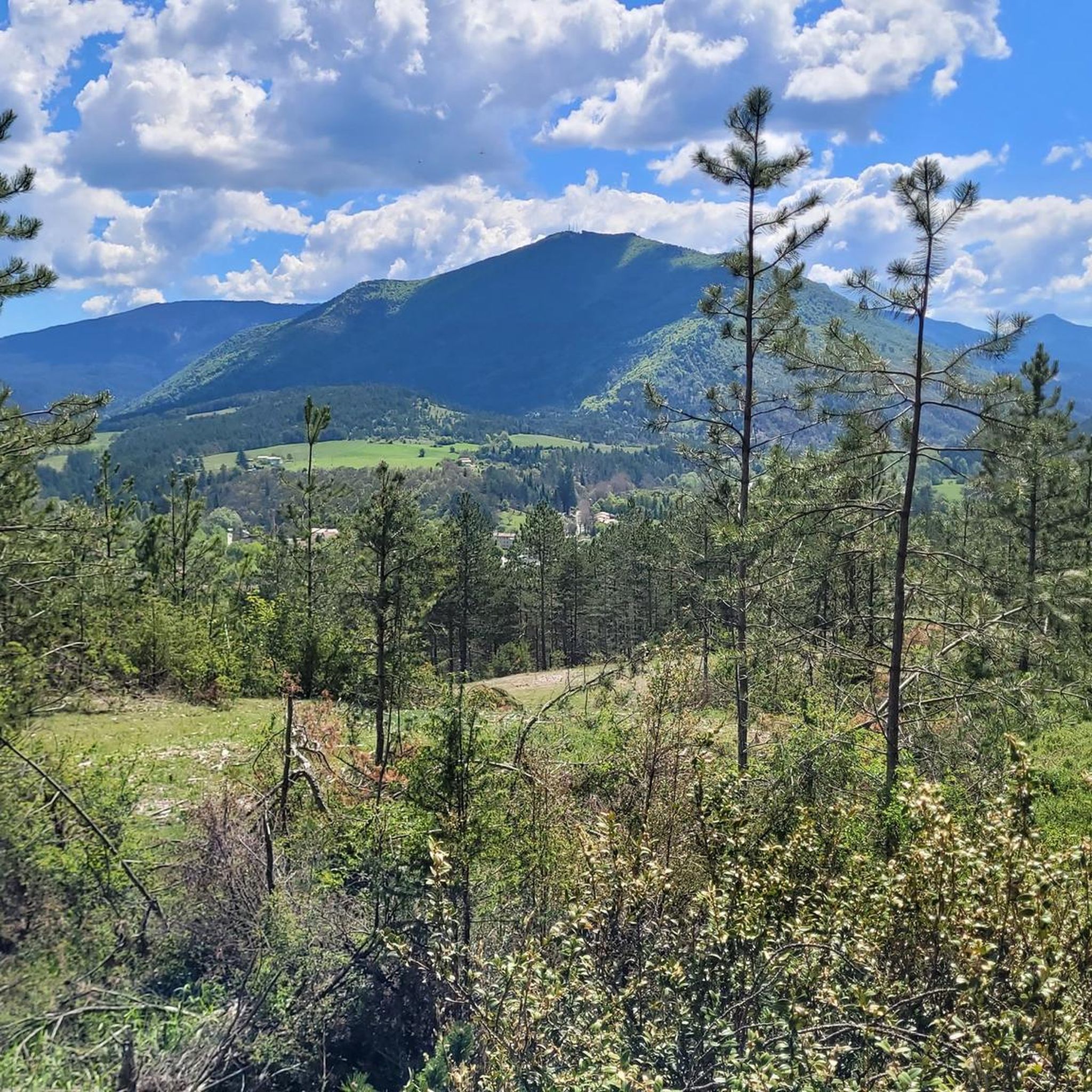
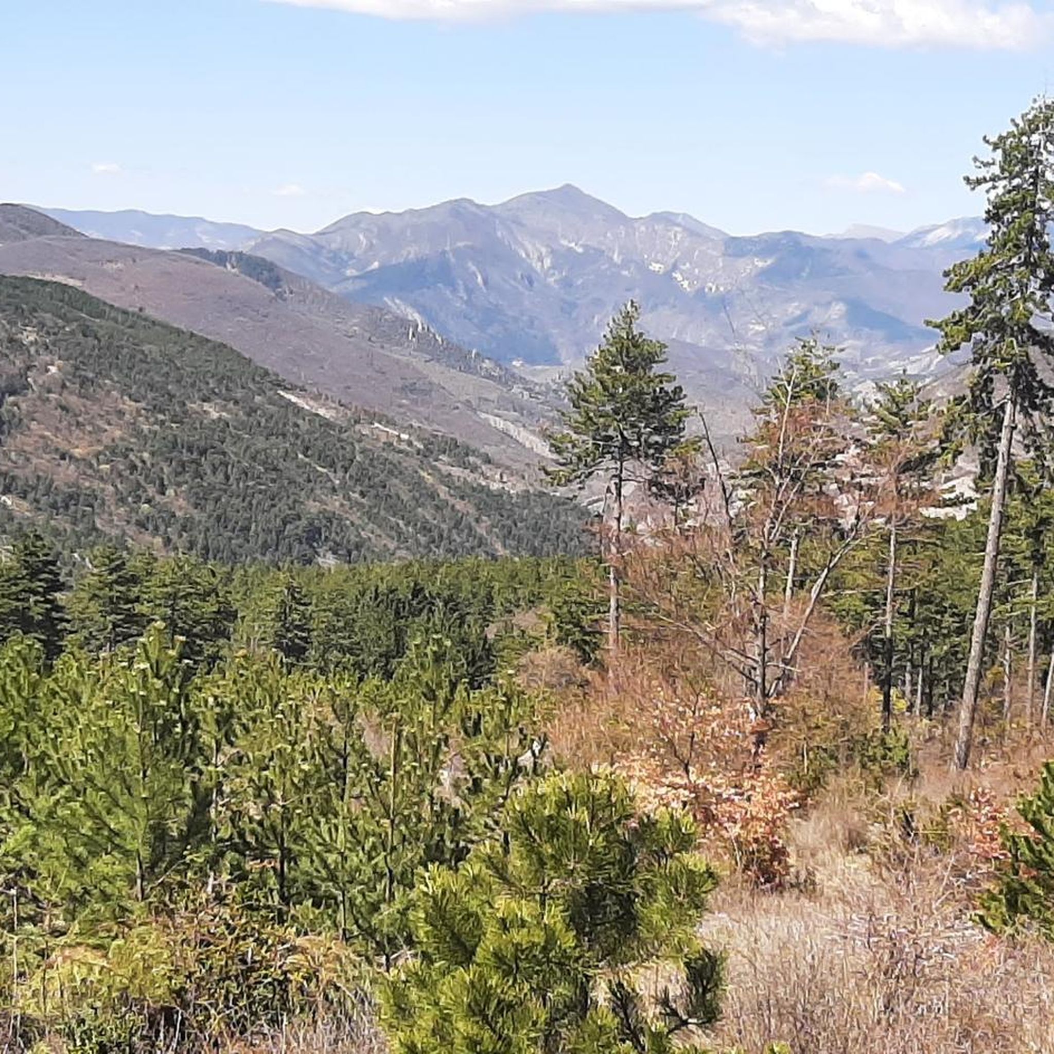
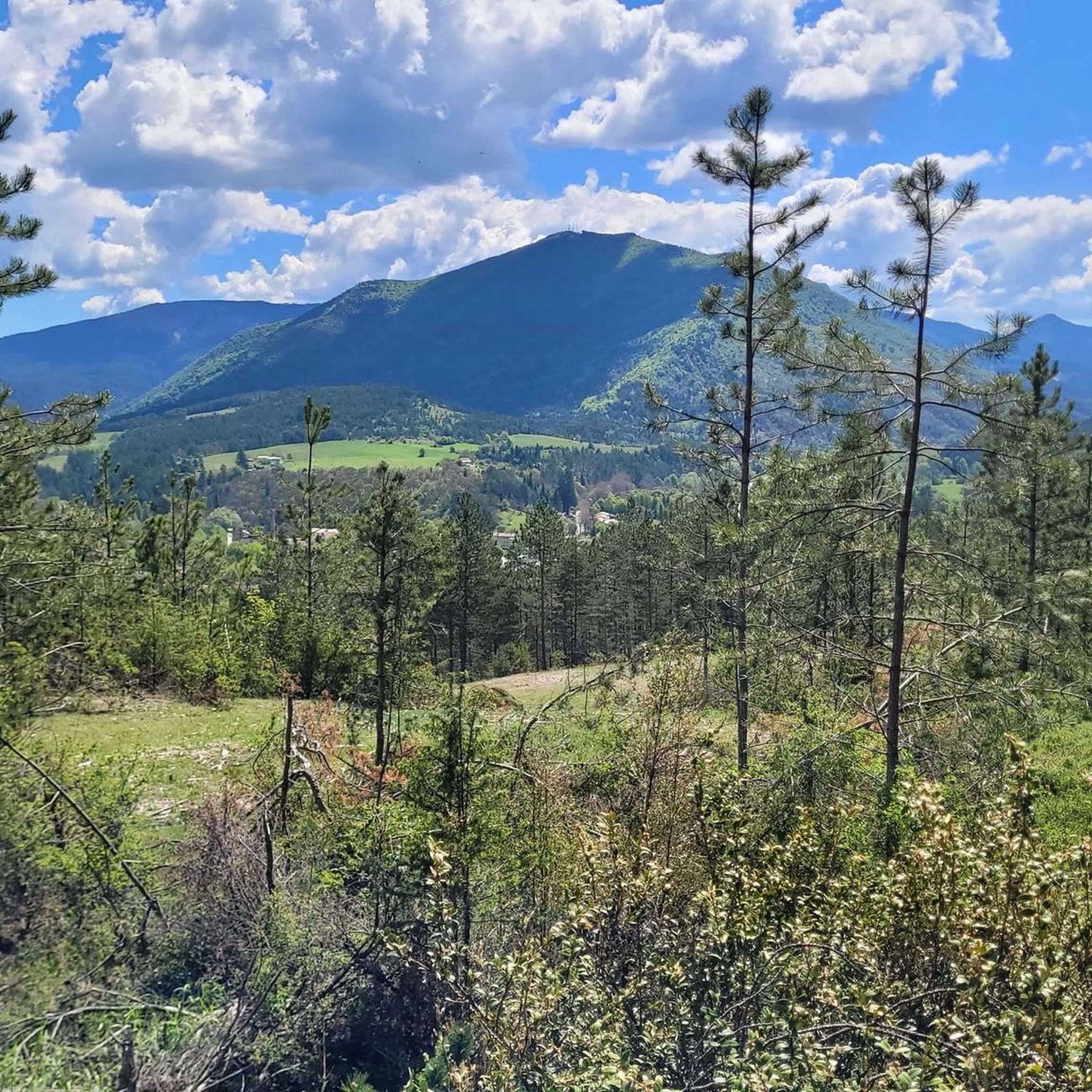
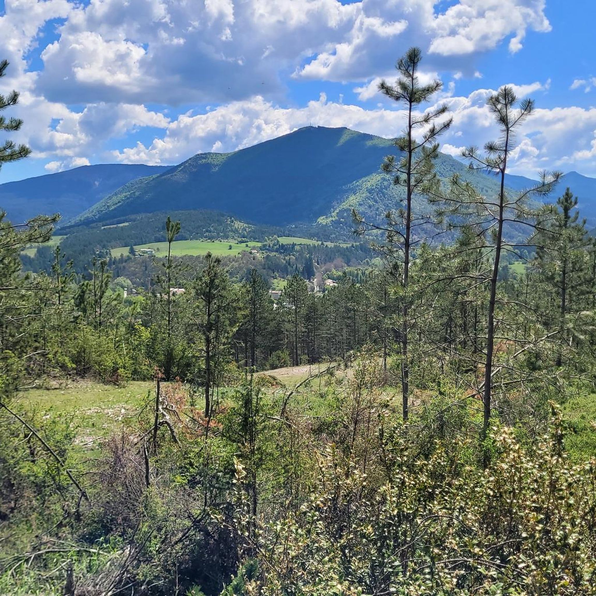

Tips from the Community

The southern slope, from Chaudon-Norante, is advertised at an average gradient of 6.6% for a length of about 8km. But the road has 4 or 5 flat sections over 150 or 200m, which means that in reality we are very often on slopes between 8 and 10%. This pass nevertheless remains accessible to any moderately trained cyclist and, the icing on the cake, it is reserved for cyclists at certain times during the summer. The view at the summit is magnificent.
0
0

Beautiful landscape, small road, only the last bends are strenuous.
3
0

This pass is 1,065 meters above sea level, on the way to Corobin Pass. From Digne-les-Bains, the 7.6 kilometer climb includes portions between 5 and 9.5%, enough to tickle your legs.
1
0

A pass located at an altitude of 1065m near the Col du Corobin in the direction of Digne-les-Bains.
1
0
The Col de Corobin from Chaudon-Norante is a climb in the Alpes de Haute Provence region. It has a length of 7.7 kilometers and an ascent of 535 vertical meters with an average gradient of 7%, which implies a difficulty level of 413. The top of the ascent is located at 1,220 meters above sea level. On the other hand, from Digne-les-Bains via Col de Pierre Basse, it is 14.6 kilometers long and climbs 650 vertical meters with an average gradient of 4.4%, which implies a difficulty level of 448.
2
0

The Col de l'Orme peaks at 734m. This pass is really simple, especially from the baths despite its 9km climb. To put it simply, this pass has an average of not even 3%. The big downside is that it's a road pass located on the RN 85 and it's very busy so don't linger too long at the top, there's not much to see...
2
1
The Corobin pass peaks at 1,211 meters. From Digne-les-Bains a fairly long slope of almost 16 kilometers awaits you. The first eight are pretty straightforward. You will cross the intermediate Col des Abeilles (710 meters). Secondly, you will see the slope steepen quite significantly over 3.3 kilometers at almost 9% on average to reach the second intermediate pass, that of Pierre Basse (1,065 meters). Arriving at this pass, take the time to breathe, a flat area then a slight descent over three kilometers towards the hamlet of La Clappe will help you. Then, return to the attack for 1.4 kilometers at an 8% average, taking the eight bends which will allow you to cross the summit of the Col du Corobin.
2
0

On the western slope, after going up the long Asse de Clumanc Valley from Barrême, the difficulties really begin in Tartonne with a first ramp of 1.5 km at 6.5%. Then after a small flat area comes a nice final of 2.6 km where the slope will be around 7%. On this side you can see one of Andy Goldsworthy's sentinels, an ovoid-shaped cairn placed at the side of the road as part of an artistic trail created by this renowned artist practicing land art. On the eastern slope, nothing very complicated until Lambruisse with 5 km where the hardest passage will not exceed 4.5%. On the other hand, things become tougher with the final including 1.8 km at 6.5% on average, but the last 350 meters are at 8.5%. The road is very beautiful and quiet on both sides. This pass is enchanting.
2
0
Frequently Asked Questions
What are some of the most popular mountain passes around Chaudon-Norante?
Among the most appreciated passes are Col du Défens (1,230 m), known for its good quality road, minimal traffic, and magnificent scenery. Another popular choice is Col de la Mort de l'Homme, which offers stunning views of the Verdon valley along a gravel road.
Are there challenging mountain passes for experienced cyclists near Chaudon-Norante?
Yes, the Corobin Pass offers a challenging climb. From Chaudon-Norante, it spans approximately 7.7 kilometers with an elevation gain of 535 meters and an average gradient of 7%, including sections between 8% and 10%. It's considered a 'real mountain road' with beautiful hairpins.
Which mountain passes are suitable for gravel biking?
The Saint-Jurs Pass is particularly well-suited for gravel biking. The road leading to the pass from the village of Saint-Jurs is predominantly unpaved gravel, making it an excellent choice for gravel cyclists.
What kind of views can I expect from the mountain passes in this region?
Many passes offer magnificent panoramic views. From the summit of Col de Corobin, you can enjoy extensive vistas. The Saint-Jurs Pass provides a pretty view of the Valensole plateau, while Col de la Mort de l'Homme offers views of the valley on the Verdon side.
Are there hiking opportunities near these mountain passes?
Absolutely. The Saint-Jurs Pass, for example, features marked trails suitable for all levels of hikers, with a gradual ascent to the summit. Experienced hikers can also tackle a crest trail to Montdenier Mountain, and families can enjoy a 5-kilometer panoramic loop. For more hiking options, explore the Hiking around Chaudon-Norante guide.
What are the best times to visit the mountain passes around Chaudon-Norante?
The region is generally pleasant for outdoor activities during spring, summer, and autumn. During summer, some passes like Col de Corobin can even be reserved exclusively for cyclists at certain times, offering a unique experience. Always check local weather conditions before heading out, especially for higher passes.
Are there any intermediate passes on the way to the main summits?
Yes, when approaching Corobin Pass from Digne-les-Bains, you'll encounter two intermediate passes: Col des Abeilles (710 meters) and Col de Pierre Basse (1,065 meters). Col de Pierre Basse itself offers climbs with gradients between 5 and 9.5%.
What kind of road cycling routes are available in the area?
The region offers diverse road cycling routes, including challenging climbs and scenic loops. For example, you can find routes like 'Climb to Col de Pierre Basse – Corobin Pass loop' or 'Col du Défens (1,230 m) – Barrême loop'. You can find more details and routes in the Road Cycling Routes around Chaudon-Norante guide.
Can I find tranquil and natural surroundings near these mountain passes?
Yes, the village of Saint-Jurs, near the Saint-Jurs Pass, is known for its tranquility and beautiful natural surroundings, making the approach to the pass a peaceful experience. The entire Alpes-de-Haute-Provence region is characterized by its natural landscapes and serene environment.
What do visitors say about the mountain passes in Chaudon-Norante?
Visitors frequently praise the magnificent scenery and the quality of the roads, especially for cycling. For instance, the Col du Défens is often highlighted for its beautiful landscape, minimal traffic, and accessible climbs. The area is considered a 'hidden treasure' for its varied landscapes.
Are there any unique landmarks or features to look out for on these passes?
When ascending the Col du Défens, you might come across an egg-shaped sculpture by Andy Goldsworthy, adding an artistic touch to the natural beauty of the pass.
What are the elevation details for the main mountain passes?
The Col du Défens reaches 1,230 meters. Corobin Pass peaks between 1,211 and 1,229 meters, while Saint-Jurs Pass reaches an elevation of 1,318 meters. The intermediate Col de Pierre Basse is at 1,065 meters.
Most popular routes around Chaudon-Norante
Most popular attractions around Chaudon-Norante

Get inspired with the komoot mobile app


Explore more
See even more epic mountain passes by checking out these guides around Chaudon-Norante:
