The best running trails around Schüpfen
4.3
(708)
30,783
runners
16
runs
Jogging routes around Schüpfen traverse a diverse landscape in the canton of Bern, Switzerland. The region is characterized by extensive forested areas and agricultural landscapes, providing varied scenery for runners. Its position in the Lyssbach valley and inclusion of parts of the Frienisberg and Rapperswil plateaus offer diverse terrain suitable for different levels of activity. These natural features create a dynamic environment for running.
Best jogging routes around Schüpfen
- The most popular jogging route is Schüpfen–Lyss Route loop from Schüpfen, a 7.6 miles (12.2 km) trail that takes 1 hour 19 minutes to complete. This moderate route connects Schüpfen to Lyss, offering a mix of landscapes.
- Another top favourite among local runners is Chutzen Tower – Trittbode Trail loop from Schüpfen, a difficult 10.0 miles (16.1 km) path. This route features significant elevation gain, leading towards the Chutzen Tower area with potential views.
- Local runners also love the Running loop from Schüpfen, a 4.9 miles (7.9 km) trail leading through local terrain, often completed in about 51 minutes.
- Jogging around Schüpfen is defined by extensive forests, agricultural fields, and the varied terrain of the Lyssbach valley and surrounding plateaus. The network offers options for different ability levels, from easier loops to more challenging trails with greater elevation.
- The routes in Schüpfen are highly rated by the komoot community with an average score of 4.3 stars from over 600 reviews. More than 29,000 runners have used komoot to explore Schüpfen's varied terrain.
Last updated: July 4, 2026
8
runners
11.4km
01:14
180m
180m
Moderate run. Good fitness required. Mostly paved surfaces. Suitable for all skill levels.
9
runners
4.94km
00:31
40m
40m
Easy run. Great for any fitness level. Mostly paved surfaces. Suitable for all skill levels.

Sign up for free
8
runners
16.0km
01:45
290m
290m
Hard run. Very good fitness required. Mostly paved surfaces. Suitable for all skill levels.
3
runners
9.80km
01:04
180m
180m
Moderate run. Good fitness required. Mostly paved surfaces. Suitable for all skill levels.
4
runners
11.7km
01:14
130m
130m
Moderate run. Good fitness required. Mostly paved surfaces. Suitable for all skill levels.
Get access to more routes and recommendations from other explorers.
Sign up for free
Already have an account?
Our route recommendations are based on thousands of hikes, rides, and runs completed by other people on komoot.
Start today with a free account
Your next adventure awaits.
Login or Signup

Tips from the Community

From Frienisberg via this short trail to the Chutzenturm, then continue northwest to the Lobsiger sandstone caves.
0
0

Highlight title quote “Tell’s Hohle Gasse”? There is only one "Tell's Hohle Gasse" and it is not in this location. The Hohle Gasse is an artificial ravine between Küssnacht and Immensee in Switzerland. William Tell is said to have shot the Habsburg governor Hermann Gessler in Hohle Gasse in 1307. In Friedrich Schiller's drama Wilhelm Tell, Tell says (IV, 3): “He must come through this hollow alley. There is no other way to Küssnacht.” Today's Hohle Gasse was once the road from Küssnacht to Immensee. As traffic increased, a bypass was built in 1937, which relieved the Hohle Gasse of motorized traffic. The old road was narrowed with the help of stone blocks.
0
0

Imposing wooden tower. 45 meters high and with 234 steps
0
0

Woody root fun without a big incline. A few places are quite narrow and you have to squeeze through. The slightly more willing handlebars will be required.
0
0

Did this spot both ways. Downhill is really fun. Be careful, oncoming traffic must always be expected
1
0

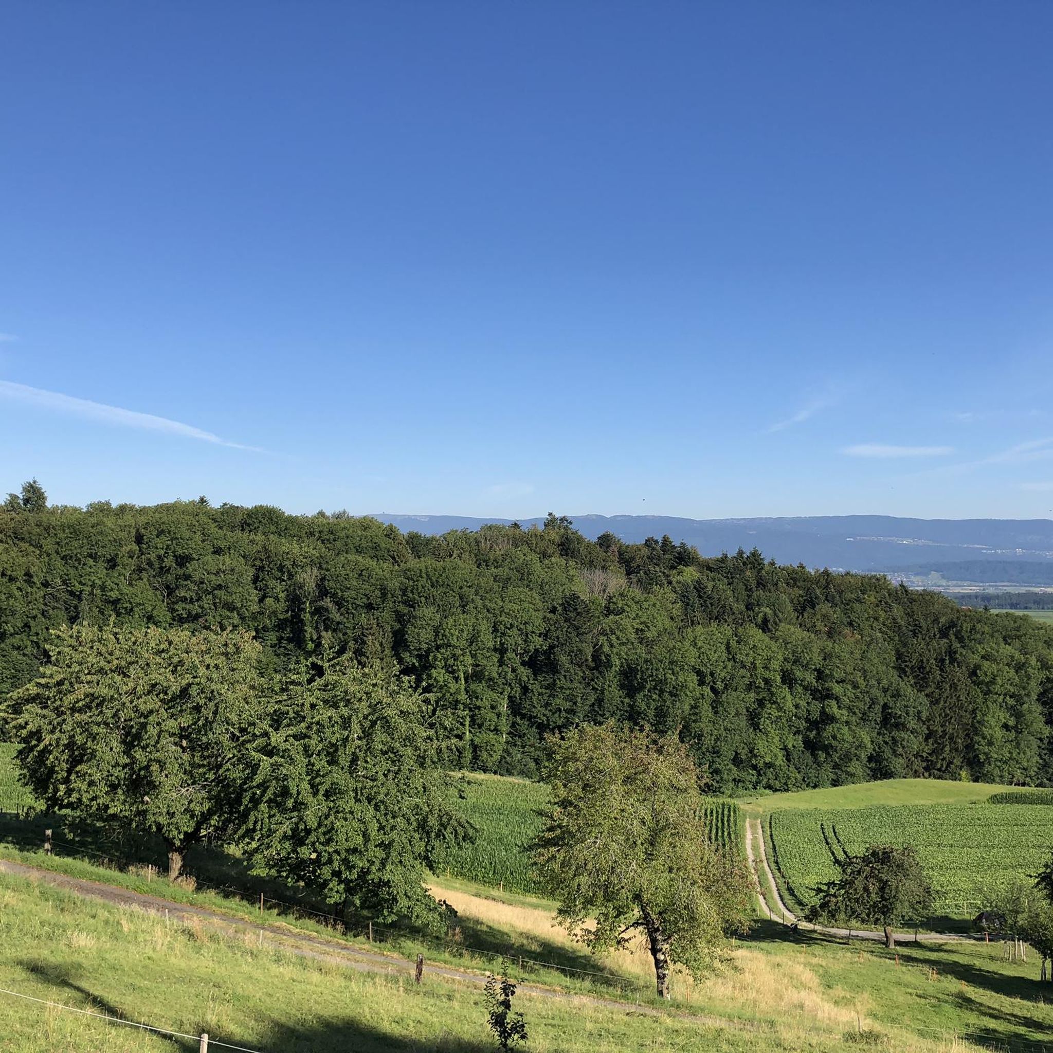
18 flights of stairs with 234 steps lead up to the 40 m high viewing platform of the covered Chutzenturm on the Frienisberg. You will be rewarded with a wonderful panoramic view (Chasseral, Alps).
3
1

Trail accessible on both sides. I went up. Beautiful and mystical forest atmosphere in the hollow alley.
1
0
Frequently Asked Questions
How many running routes are available in Schüpfen?
Schüpfen offers a good selection of running routes, with over 15 distinct trails available on komoot. These routes cater to various preferences, from easier loops to more challenging paths.
Are there running routes suitable for beginners in Schüpfen?
Yes, Schüpfen has several running routes suitable for beginners. There are at least two easy routes and many moderate options that can be a good starting point for those new to running or looking for a less strenuous experience. For example, the Running loop from Schüpfen is a moderate 7.9 km trail that can be completed in about 51 minutes.
What kind of terrain can I expect on the running trails around Schüpfen?
The running trails around Schüpfen feature a diverse landscape, characterized by extensive forested areas and agricultural fields. You'll encounter varied terrain, including paths through the Lyssbach valley and sections on the Frienisberg and Rapperswil plateaus. Many trails are predominantly paved or well-maintained, making them accessible for various fitness levels.
Can I find routes with significant elevation gain for a more challenging run?
Absolutely. For runners seeking a challenge, Schüpfen offers routes with significant elevation gain. The Chutzen Tower – Trittbode Trail loop from Schüpfen is a difficult 16.1 km path with nearly 300 meters of ascent, leading towards the Chutzen Tower area and offering potential views of the Bernese Alps.
Are there any notable landmarks or natural attractions to see while running in Schüpfen?
Yes, the region around Schüpfen is rich in natural beauty and interesting landmarks. You might encounter areas near the Chutzen Tower, offering panoramic views. Other natural features in the broader area include the unique Lobsigen Sandstone Caves and the tranquil Niederried Reservoir, a protected area known for its wildlife.
Are the running trails in Schüpfen suitable for families with children?
While specific family-friendly running routes are not explicitly detailed, the presence of easier and moderate trails through varied landscapes suggests that many paths could be suitable for families, especially those with older children or those looking for a leisurely pace. The diverse terrain with forests and agricultural fields provides an engaging environment.
Can I bring my dog on the running routes in Schüpfen?
Generally, Switzerland's outdoor trails are dog-friendly, but it's always advisable to keep your dog on a leash, especially in agricultural areas, near wildlife reserves like the Niederried Reservoir, or where livestock might be present. Always respect local signage regarding dogs.
Are there circular running routes available in Schüpfen?
Yes, many of the running routes in Schüpfen are designed as loops, allowing you to start and finish in the same location. Examples include the popular Schüpfen–Lyss Route loop from Schüpfen and the Running loop from Schüpfen.
What are the best times of year to go running in Schüpfen?
Schüpfen offers good running conditions throughout much of the year. Spring and autumn provide pleasant temperatures and beautiful scenery with changing foliage. Summer is also suitable, though it's best to run in the mornings or evenings to avoid the midday heat. Winter running is possible, but be prepared for colder temperatures and potentially icy or snowy conditions on some trails.
How accessible are the running trails in Schüpfen by public transport?
Schüpfen is well-connected by public transport, making many running trails easily accessible. The municipality's location means you can often reach trailheads directly from train stations or bus stops, allowing for convenient access without needing a car.
Is parking available near the running routes in Schüpfen?
Yes, parking is generally available in and around Schüpfen, particularly near the starting points of popular routes or in the village center. It's recommended to check specific route details on komoot for information on designated parking areas.
What do other runners say about the trails in Schüpfen?
The running routes in Schüpfen are highly rated by the komoot community, with an average score of 4.3 stars from over 600 reviews. Runners often praise the diverse landscapes, including extensive forests and agricultural fields, and the variety of terrain suitable for different ability levels.
Are there any places to eat or drink near the running trails in Schüpfen?
Schüpfen has local establishments where you can refuel after your run, including cafes and restaurants. While specific locations directly on trails are rare, you'll find options within the village or nearby towns, especially close to public transport hubs.
Most popular attractions around Schüpfen

Get inspired with the komoot mobile app


Explore more
Browse the best Running Trails & Routes in other regions.
