The best running trails around Buchholterberg
4.5
(299)
12,696
runners
485
runs
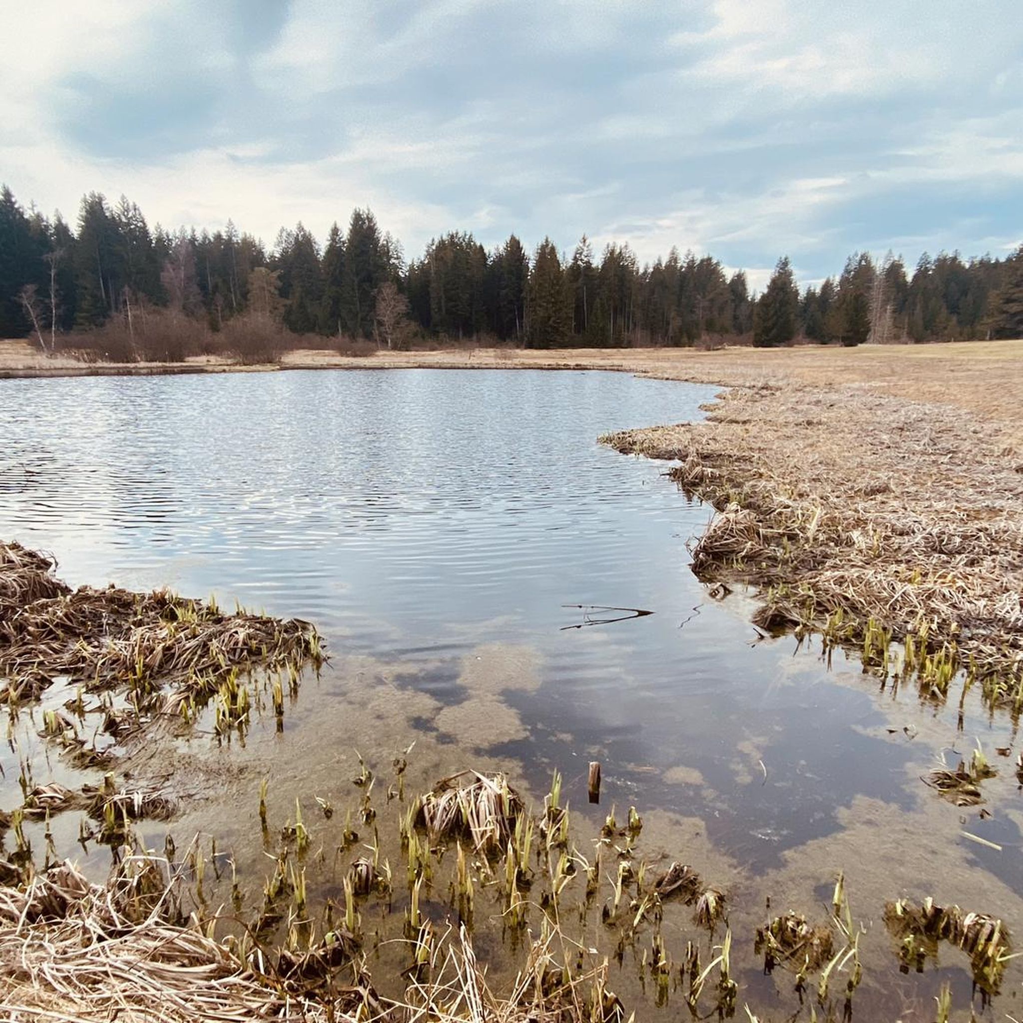
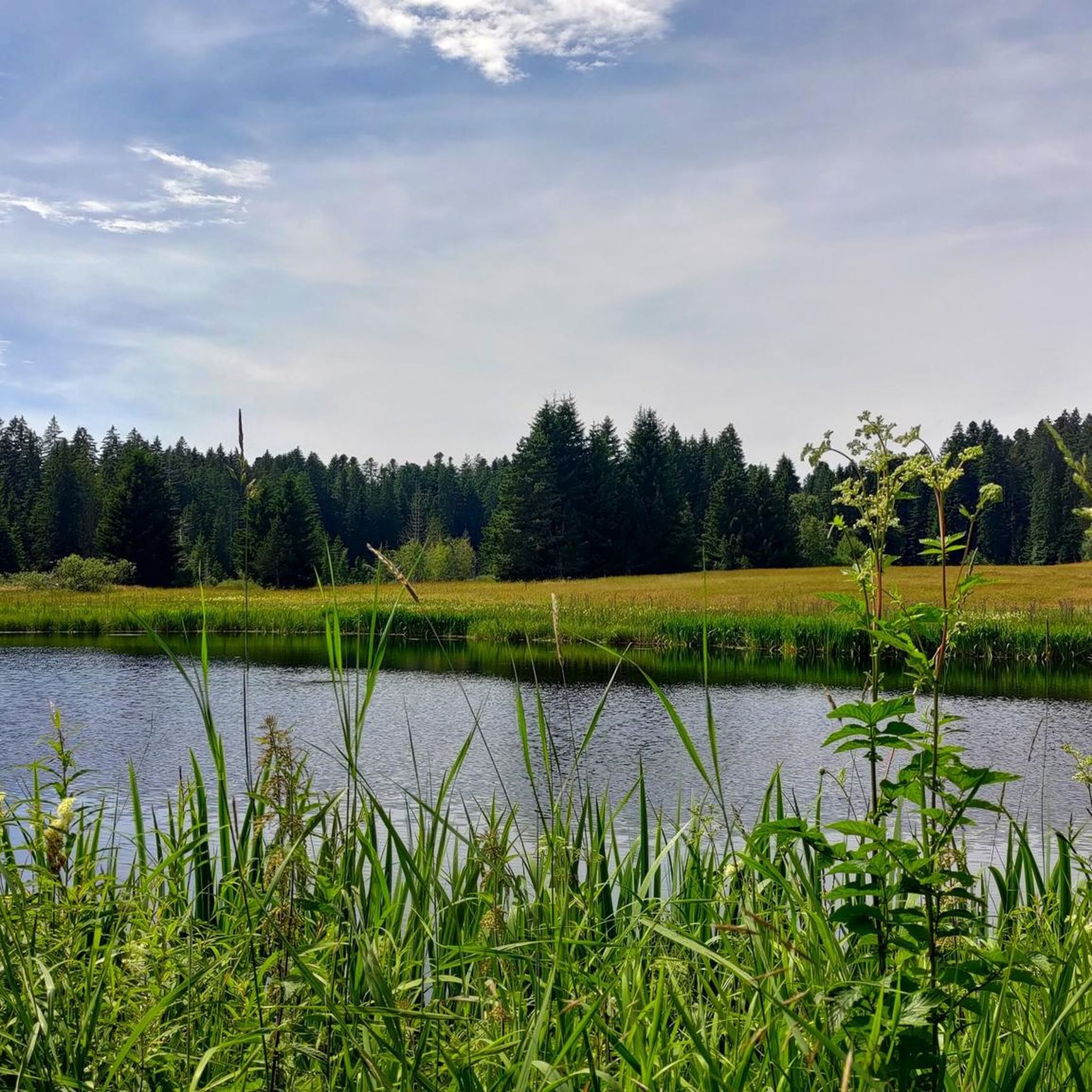
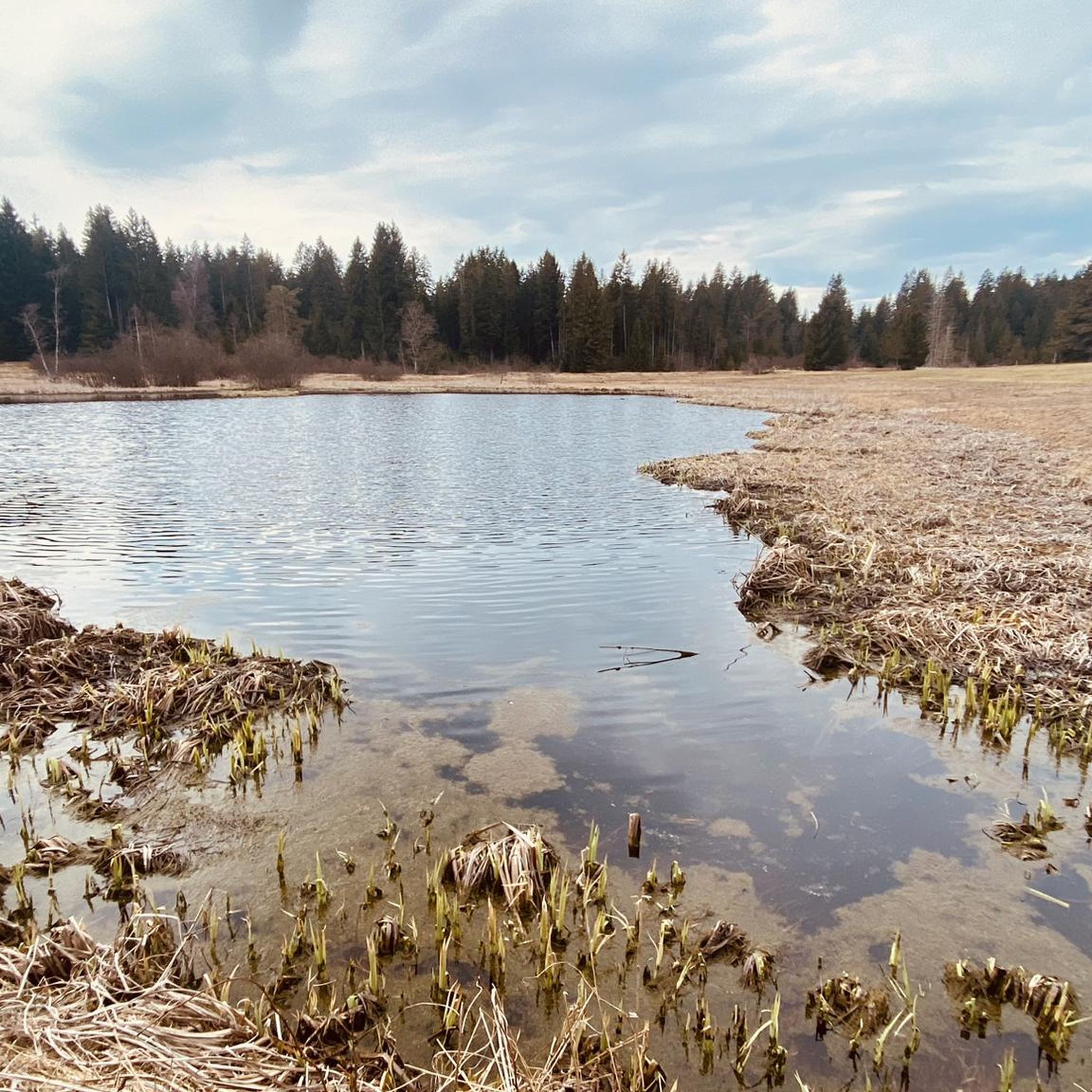
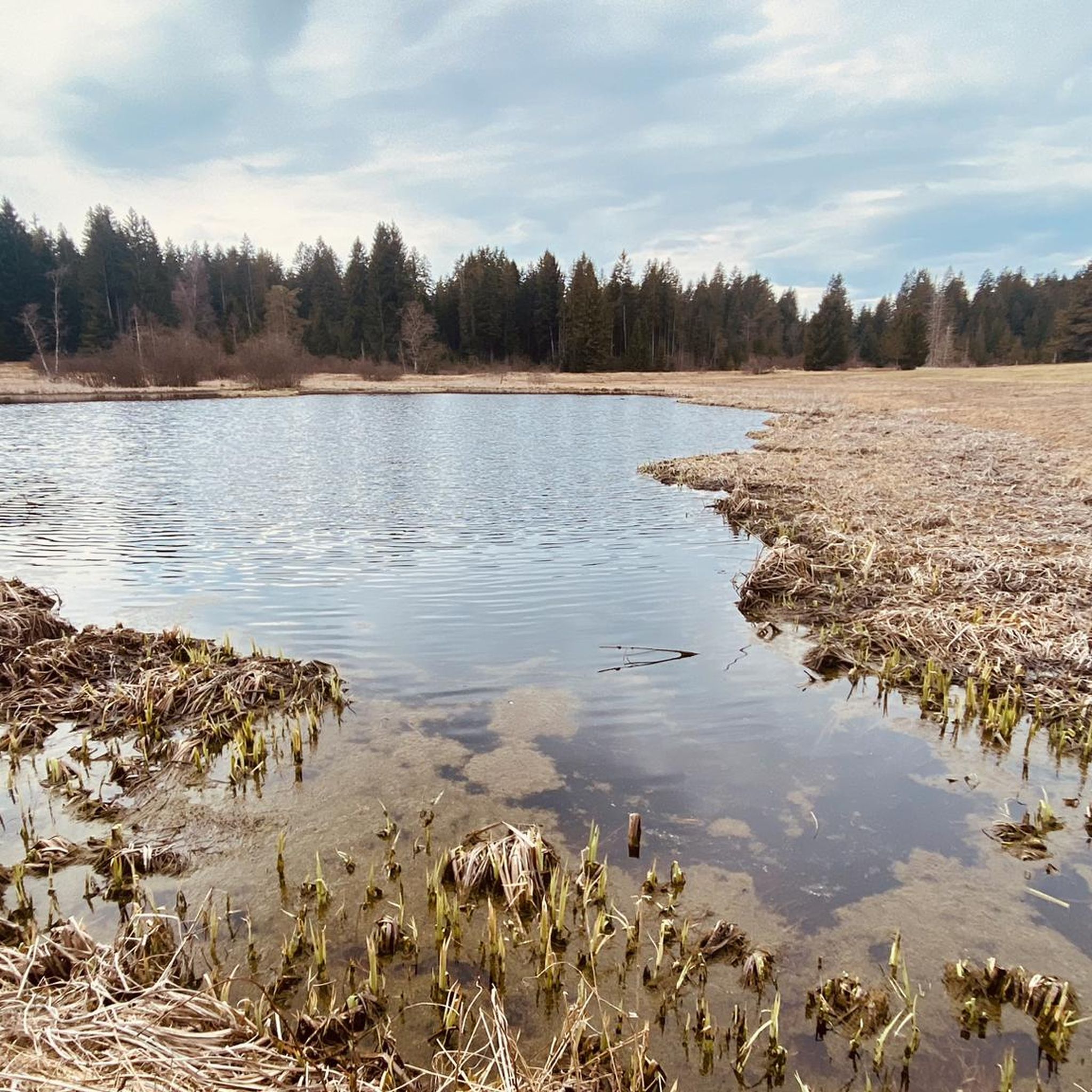
Jogging routes Buchholterberg offer diverse terrain, making it a destination for outdoor activities. The region features scenic hilltops, magnificent forests, and views extending from the Jura mountains over Lake Thun to the Bernese Alps. Natural landscapes like the Wachseldornmoos, a raised bog area, provide varied paths for running. Buchholterberg is situated in the hills northeast of Thun, near the Rothachen canyon.
Best jogging routes around Buchholterberg
- The most popular jogging route is Running loop from Wachseldorn, a 2.7 miles…
Last updated: July 4, 2026
5.0
(1)
16
runners
4.29km
00:32
70m
70m
Easy run. Great for any fitness level. Mostly paved surfaces. Suitable for all skill levels.
5.0
(2)
13
runners
5.53km
00:37
100m
100m
Moderate run. Good fitness required. Mostly paved surfaces. Suitable for all skill levels.

Sign up for free
9
runners
4.85km
00:31
60m
60m
Easy run. Great for any fitness level. Mostly paved surfaces. Suitable for all skill levels.
4.0
(1)
4
runners
12.9km
01:32
280m
280m
Moderate run. Good fitness required. Mostly paved surfaces. Suitable for all skill levels.
3.0
(2)
5
runners
5.71km
00:39
170m
170m
Moderate run. Good fitness required. Mostly paved surfaces. Suitable for all skill levels.
Get access to more routes and recommendations from other explorers.
Sign up for free
Already have an account?
Our route recommendations are based on thousands of hikes, rides, and runs completed by other people on komoot.
Start today with a free account
Your next adventure awaits.
Login or Signup
Frequently Asked Questions
How many running routes are available in Buchholterberg?
Buchholterberg offers a wide selection of running trails, with over 490 routes available. These range from easy paths to more challenging runs, catering to various fitness levels.
Are there easy running routes suitable for beginners in Buchholterberg?
Yes, Buchholterberg has several easy running routes perfect for beginners or those looking for a relaxed jog. For instance, the Running loop from Wachseldorn is an easy 2.7-mile (4.3 km) trail that traverses natural environments. There are 39 easy routes in total.
Can I find routes with panoramic views in Buchholterberg?
Absolutely. Buchholterberg is renowned for its breathtaking vistas. Many running routes offer views spanning from the Jura mountains over Lake Thun to the impressive Bernese Alps. The Blueme Observation Tower, for example, provides a spectacular 360-degree panorama of the surrounding landscape, which can be incorporated into longer running explorations.
Are there any circular running routes in the Buchholterberg area?
Many of the running routes in Buchholterberg are designed as loops, offering a convenient circular experience. Examples include the popular Wachseldornhubel loop from Buchholterberg, a moderate 3.4-mile (5.5 km) path with varied scenery, and the Running loop from Buchholterberg, which leads through forests and agricultural lands.
What kind of terrain can I expect on the jogging trails around Buchholterberg?
The jogging trails in Buchholterberg feature diverse terrain, including scenic hilltops, magnificent forests, and agricultural lands. You'll also find unique natural landscapes like the Wachseldornmoos, a raised bog area that provides varied and scenic paths, making for an engaging running experience.
Are the running trails in Buchholterberg suitable for families?
Yes, many of the running trails, especially the easier and moderate ones, are suitable for families. The natural environments and varied scenery offer an enjoyable outdoor experience for all. Look for routes marked as 'easy' for the most family-friendly options.
Can I bring my dog on the jogging routes in Buchholterberg?
Generally, dogs are welcome on many outdoor trails in Switzerland, including those in Buchholterberg. However, it's always advisable to keep dogs on a leash, especially in agricultural areas or near wildlife, and to respect local signage regarding dog policies.
What do other runners say about the trails in Buchholterberg?
The running routes in Buchholterberg are highly rated by the komoot community, with an average score of 4.5 stars from over 250 reviews. Runners often praise the diverse terrain, stunning natural scenery, and the variety of options available for different fitness levels.
When is the best time of year to go jogging in Buchholterberg?
Buchholterberg offers excellent jogging opportunities throughout much of the year. Spring and autumn provide pleasant temperatures and beautiful seasonal colors. Summer is also great, especially in the mornings or evenings, while winter running can be picturesque, though some trails might require appropriate gear depending on snow conditions.
What are some interesting places to see or visit near the running routes?
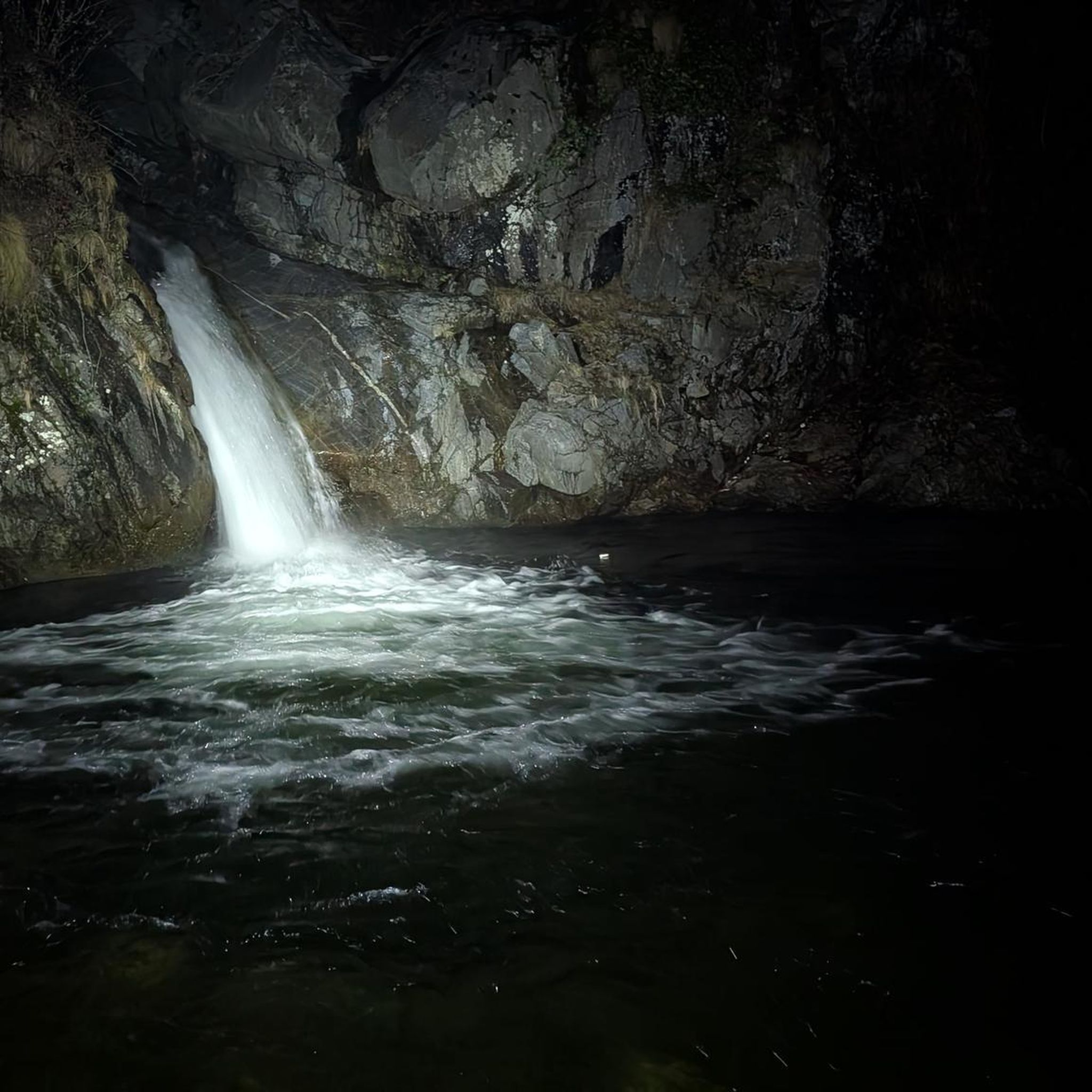
While jogging, you can explore several natural and historical sites. The region is close to the Rothachen canyon. For cultural sights, Thun Old Town and Castle are within easy reach, as are other castles like Schadau Castle and Oberhofen Castle. You can also find impressive gorges such as Cholerenschlucht Gorge nearby.
Are there any longer, more challenging running routes in Buchholterberg?
Yes, for those seeking a greater challenge, Buchholterberg offers a good selection of moderate and difficult routes. There are 353 moderate and 104 difficult routes. An example of a longer moderate route is the Obere Hubel loop from Unterlangenegg, which spans over 8 miles (12.8 km) with significant elevation gain.
What is the Wachseldornmoos area like for running?
The Wachseldornmoos is a significant natural feature in Buchholterberg, characterized as a raised bog area. It provides varied and scenic paths, making it an excellent location for high-altitude runs and offering a unique natural environment to experience local flora and fauna while jogging.
Most popular routes around Buchholterberg
Most popular attractions around Buchholterberg

Get inspired with the komoot mobile app


Explore more
Browse the best Running Trails & Routes in other regions.
