The best mountain hikes around Teuffenthal (BE)
4.8
(16)
80
hikers
13
hikes
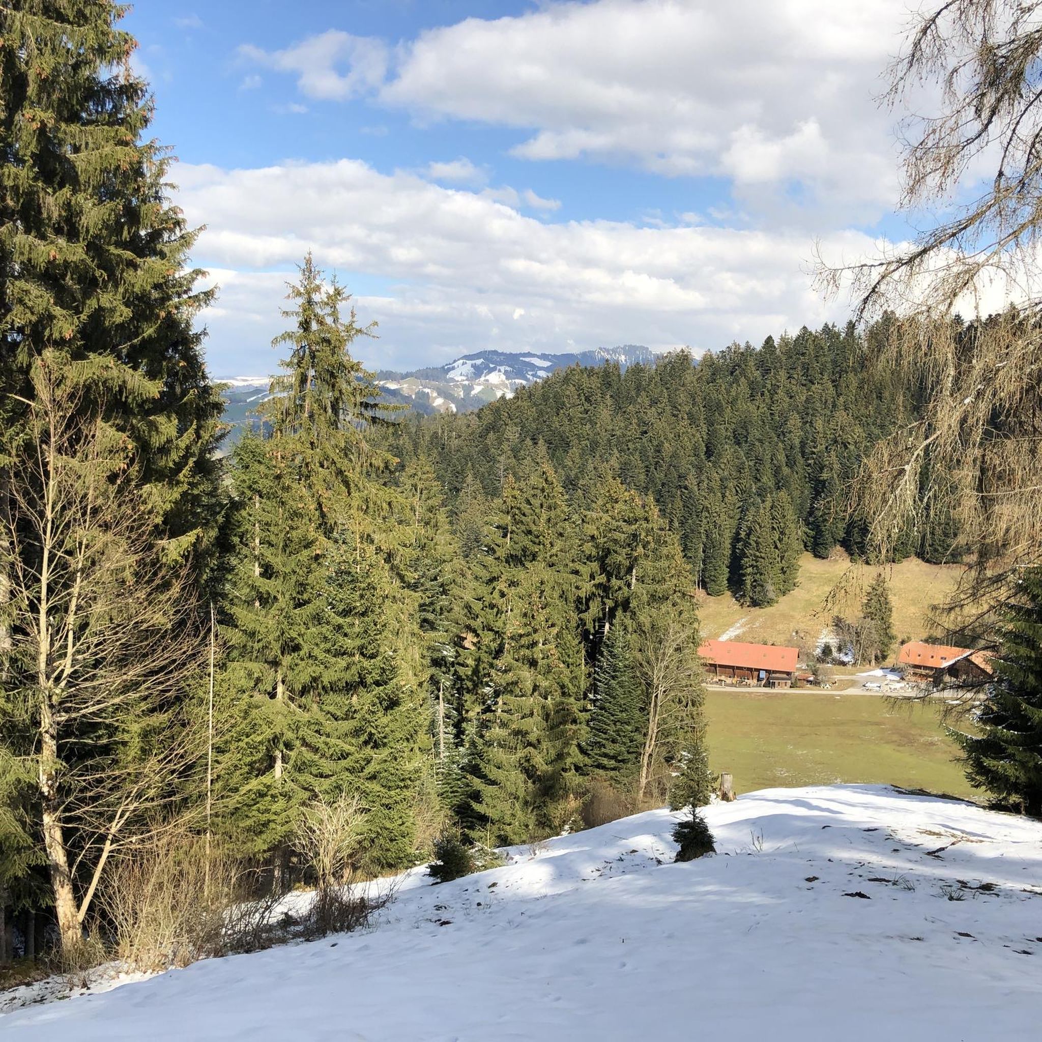
Mountaineering routes around Teuffenthal (BE) are set within a captivating pre-Alpine environment in the left Zulgtal valley, east of Thun, Switzerland. The region features extensive forests, agricultural land, and pastures, transitioning into more challenging mountainous terrain. Prominent natural features include the Blueme mountain at 1,392 meters and the Güggisgrat ridge, which encompasses the Niederhorn Summit at 1,963 meters, offering expansive views of Lake Thun and the Bernese Alps. This landscape provides a diverse setting for mountain excursions.
Best mountaineering routes…
Last updated: July 6, 2026
5.0
(4)
11
hikers
12.6km
05:53
880m
880m
Hard mountaineering route. Very good fitness required. Sure-footedness, sturdy shoes and alpine experience required.
5.0
(2)
8
hikers
15.9km
07:11
960m
960m
Hard mountaineering route. Very good fitness required. Sure-footedness, sturdy shoes and alpine experience required.

Sign up for free
5.0
(1)
7
hikers
9.97km
03:47
330m
330m
Moderate mountaineering route. Good fitness required. Mostly accessible paths. Sure-footedness required.
5.0
(2)
10
hikers
9.42km
04:48
800m
800m
Hard mountaineering route. Good fitness required. Sure-footedness, sturdy shoes and alpine experience required.
4.7
(3)
8
hikers
11.1km
05:09
940m
940m
Hard mountaineering route. Very good fitness required. Sure-footedness, sturdy shoes and alpine experience required.
Get access to more routes and recommendations from other explorers.
Sign up for free
Already have an account?
Our route recommendations are based on thousands of hikes, rides, and runs completed by other people on komoot.
Start today with a free account
Your next adventure awaits.
Login or Signup

Tips from the Community

The Gemmenalphorn is a scenic summit above Lake Thun and part of the Niederhorn chain. The distinctive grassy mountain reaches an altitude of 2061 meters and offers an impressive panorama of the Eiger, Mönch, and Jungfrau, as well as the deep blue Lake Thun. The hike from the Niederhorn via the scenic ridge path is particularly popular. In summer, ibex often graze in the area, which is why the region is also highly valued by wildlife observers. Despite its height, the Gemmenalphorn is technically quite easy to reach and ideal for pleasure hikers.
2
0
The ascent from the east can be very tricky in spring, as there may still be snow in exposed places.
2
0
Beautiful alp on the way to the Sigriswiler Rothorn
7
0
Beautiful and little-frequented summit with panoramic views
7
0

Be careful, this is no walk in the park...
0
1

Difficult ascent including easy climbing but at the top everything is forgotten, the effort was worth it, the view is amazing.
0
1

The Sigriswiler Rothorn (2,051 m) is an impressive vantage point high above Lake Thun ⛰️🌊. The ascent is mostly along the ridge and requires surefootedness and a head for heights ⚠️🥾 – caution is advised, especially in wet conditions. At the top, you'll be rewarded with a fantastic 360° panorama: views of the Eiger, Mönch, and Jungfrau, the Mittelland, and Lake Brienz and Lake Thun 🏔️👀 – ideal for a summit rest and impressive photos 📸. Equipment: Sturdy hiking boots, weather protection 🧥, provisions 🥪, water 💧. No food or drink options along the way. Recommendation: Set off early ⏰, and avoid the ridge in uncertain weather. An absolutely worthwhile summit for experienced hikers!
1
0
A beautiful spot with stunning views of the Bernese Oberland! ⛰️🌲. The trail is well marked, but surefootedness is required, especially in wet conditions ⚠️. Recommendation: Start early ⏰ to enjoy the peaceful morning atmosphere! Equipment: Sturdy hiking boots 🥾, weatherproof clothing 🧥, and poles 🦯 if needed. Note: No refreshment stops – bring plenty of water 💧 and provisions 🥪.
2
0
Frequently Asked Questions
How many mountaineering routes are available around Teuffenthal (BE)?
There are 13 mountaineering routes around Teuffenthal (BE) listed on komoot, offering a variety of experiences in the pre-Alpine environment.
What are the general difficulty levels of mountaineering routes in Teuffenthal (BE)?
The routes around Teuffenthal (BE) primarily cater to experienced mountaineers, with 10 routes rated as difficult. There are also 3 moderate routes available for those seeking a less strenuous challenge.
What do other mountaineers say about the routes in Teuffenthal (BE)?
The mountaineering routes in Teuffenthal (BE) are highly regarded by the komoot community, holding an average rating of 4.8 stars from 16 reviews. Users often praise the diverse terrain and rewarding views.
Are there any moderate mountaineering routes suitable for those looking for a less strenuous challenge?
Yes, for a moderate challenge, consider the Burgfeldstand Summit – Niederhorn Summit loop from Niederhorn. This route covers approximately 9.9 km and involves about 335 meters of elevation gain, offering a rewarding experience without the intensity of the more difficult trails.
Which routes offer particularly rewarding panoramic views of Lake Thun and the Bernese Alps?
Many routes in the region offer stunning views. For expansive panoramas, the Alp Oberbärgli – Sigriswiler Rothorn Summit loop from Sigriswil is an excellent choice. The area around the Niederhorn Summit and Burgfeldstand Summit also provides magnificent vistas of Lake Thun and the distant Bernese Alps.
What notable natural features or landmarks can I expect to see on mountaineering routes in the Teuffenthal (BE) area?
You'll encounter prominent peaks and passes offering breathtaking views. Highlights include the Niederhorn Summit and Burgfeldstand Summit, both part of the Güggisgrat ridge, providing panoramic views of Lake Thun and the Bernese Alps. The Blueme Observation Tower is another excellent viewpoint.
Are there any circular mountaineering routes in the Teuffenthal (BE) region?
Yes, several routes are designed as loops, allowing you to start and end at the same point. Examples include the popular Schafloch Cave West Entrance – Alp Oberbärgli loop from Schwändiblueme and the Sichle Pass – Schibe Summit loop from Säge, both offering challenging circular experiences.
What is the best time of year for mountaineering in Teuffenthal (BE)?
The pre-Alpine environment around Teuffenthal (BE) is generally best explored from late spring through early autumn. During these months, trails are typically clear of snow, and weather conditions are more stable, making for safer and more enjoyable mountaineering. Always check local weather forecasts before heading out.
Is it possible to access mountaineering trailheads in Teuffenthal (BE) using public transport?
Teuffenthal (BE) is a rural municipality, and while some trailheads might be accessible via local bus services, public transport options can be limited. It's advisable to check specific route starting points and local bus schedules in advance. Many mountaineers opt for personal vehicles to reach more remote trailheads.
Are there any cafes or pubs near the mountaineering routes in Teuffenthal (BE) for refreshments?
While Teuffenthal itself is a small, tranquil base, you may find local eateries or guesthouses in the village or nearby larger towns like Thun. Along the routes, especially in higher alpine areas, options are scarce, so it's always recommended to carry sufficient food and water. Some routes might pass by mountain huts or alpine farms that offer refreshments seasonally.
What kind of wildlife might I spot while mountaineering in the Teuffenthal (BE) mountains?
The diverse landscape of forests, pastures, and alpine terrain around Teuffenthal (BE) supports various wildlife. Keep an eye out for chamois and ibex in higher elevations, as well as marmots. Birdwatchers might spot eagles or other raptors soaring above. Respect wildlife by maintaining a safe distance and not disturbing their natural habitat.
Are there any permits required for mountaineering in the Teuffenthal (BE) area?
Generally, no specific permits are required for hiking and mountaineering on established trails in the Teuffenthal (BE) region. However, it's always good practice to respect private land, follow local regulations, and stay on marked paths. For any specific protected areas or unique activities, it's wise to check with local tourism offices.
Most popular routes around Teuffenthal (BE)
Most popular attractions around Teuffenthal (BE)

Get inspired with the komoot mobile app


Explore more
Browse the best Mountain Hikes & Routes in other regions.
