The best running trails around Cheiry
4.6
(43)
2,590
runners
107
runs
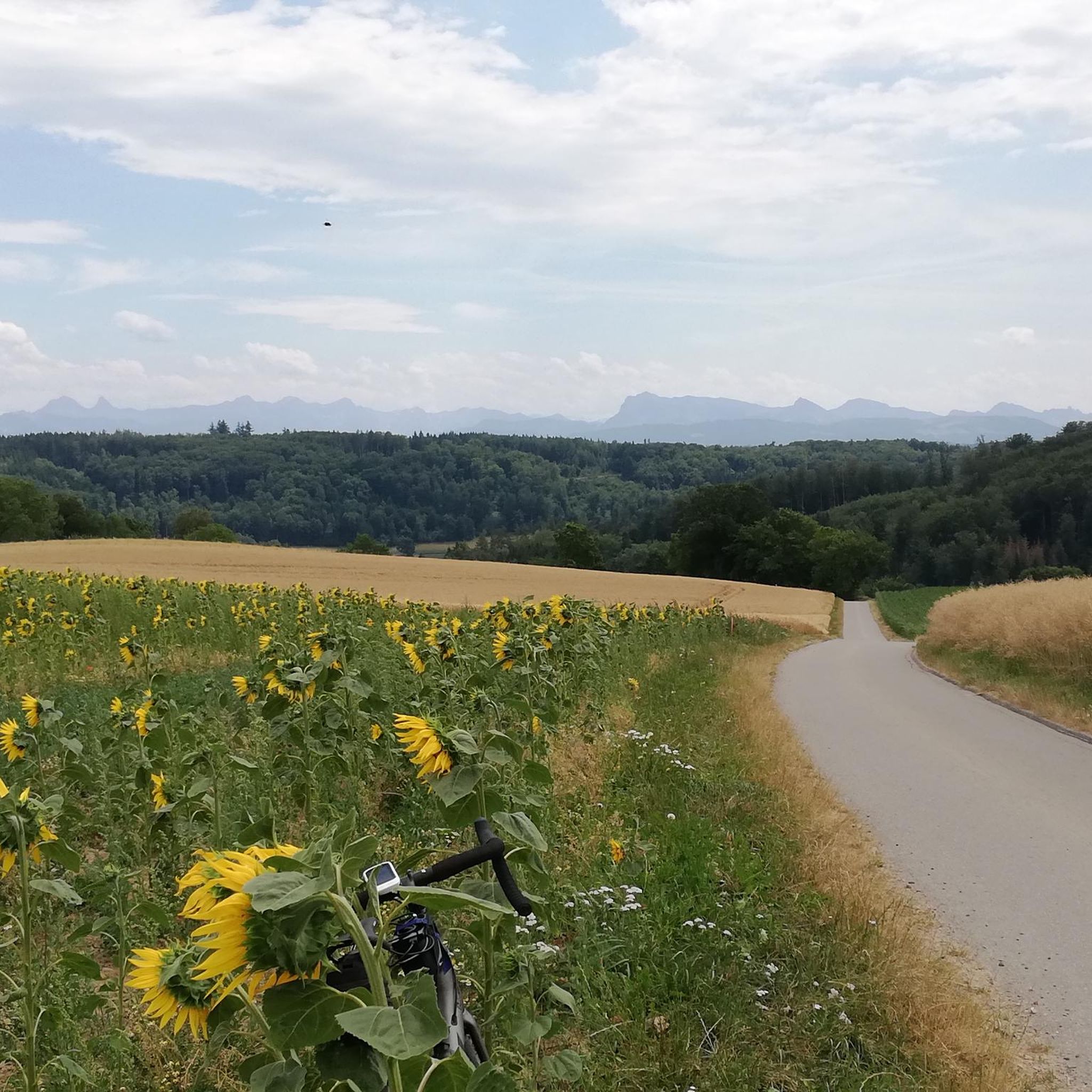
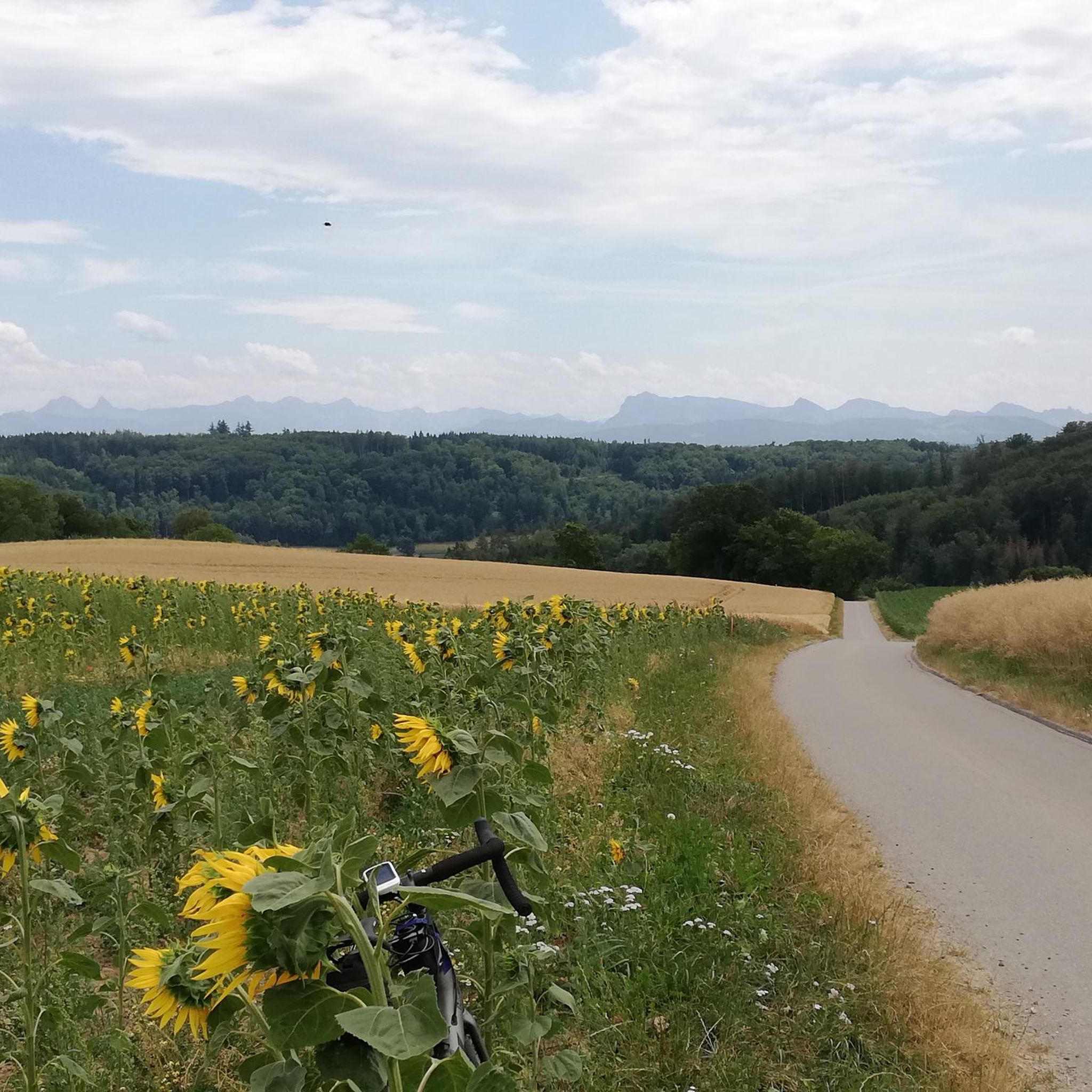
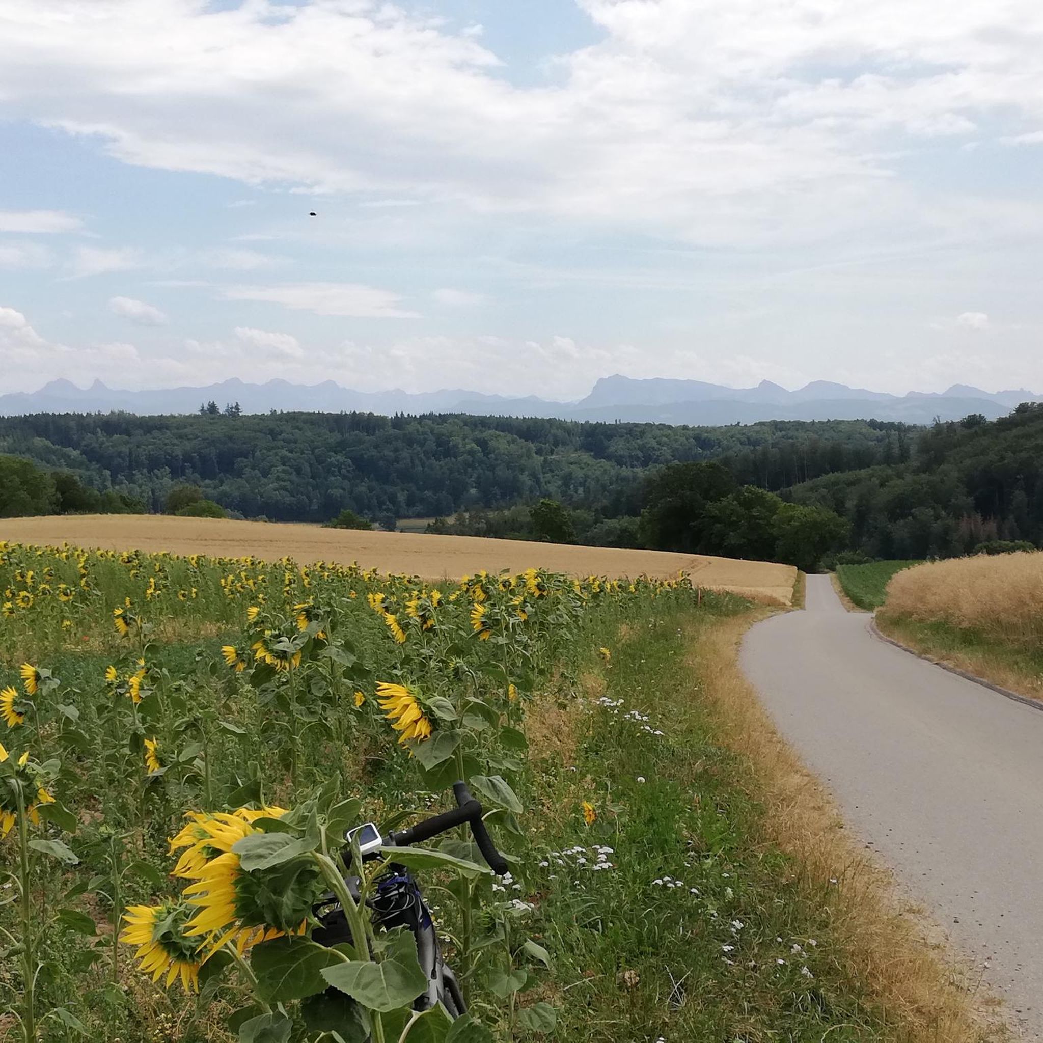
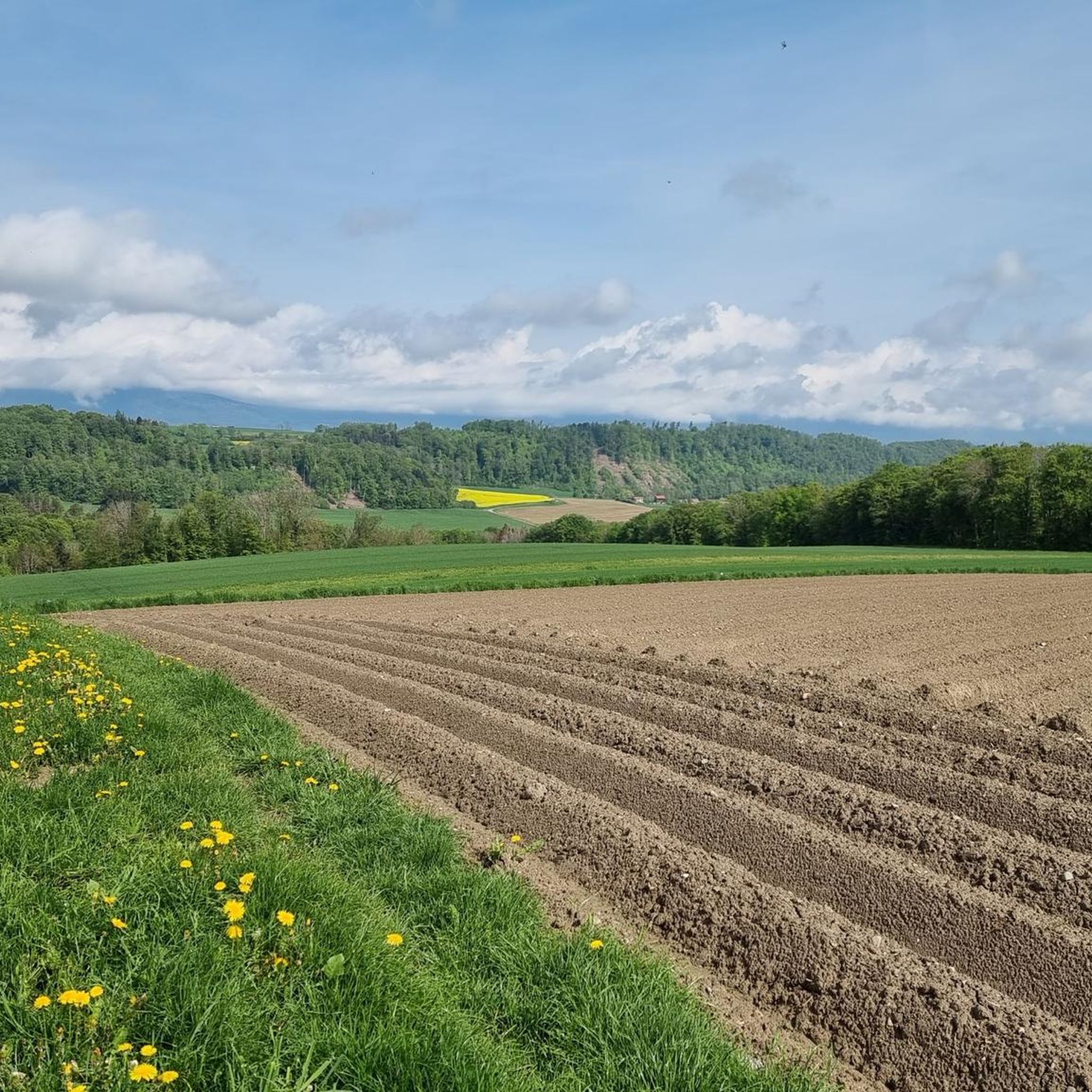
Jogging around Cheiry offers a mix of rural landscapes, with routes often following river valleys and passing through agricultural areas. The terrain typically features gentle inclines and declines, providing varied running conditions. Many paths wind through open fields and smaller wooded sections, characteristic of the Swiss countryside.
Best jogging routes around Cheiry
- The most popular jogging route is Running loop from Nuvilly, a 4.8 miles (7.8 km) trail that takes 52 minutes to complete. This moderate route features a…
Last updated: June 24, 2026
4.0
(1)
36
runners
7.79km
00:53
170m
170m
Moderate run. Good fitness required. Mostly paved surfaces. Suitable for all skill levels.
28
runners
Hard run. Very good fitness required. Mostly paved surfaces. Suitable for all skill levels.

Sign up for free
17
runners
9.41km
01:04
190m
190m
Moderate run. Good fitness required. Mostly paved surfaces. Suitable for all skill levels.
8
runners
13.0km
01:27
80m
80m
Moderate run. Good fitness required. Mostly paved surfaces. Suitable for all skill levels.
7
runners
5.89km
00:43
160m
160m
Moderate run. Good fitness required. Mostly paved surfaces. Suitable for all skill levels.
Get access to more routes and recommendations from other explorers.
Sign up for free
Already have an account?
Our route recommendations are based on thousands of hikes, rides, and runs completed by other people on komoot.
Start today with a free account
Your next adventure awaits.
Login or Signup
Tips from the Community

A relaxing spot at the edge of the forest
0
0

A very old temple, very well maintained... it's worth a look.
0
0
Climb to the summit, the view is magnificent over the Broye plain, this tower was called (the eye of Helvetia) the code for the door to climb can be obtained by a phone call which is written on the door
0
0


Tour de la Molière. This imposing square keep from the 12th century is the only surviving remnant of the former castle of La Molière, which was destroyed in the 16th century. There is an old quarry adjacent to a well-developed picnic area. https://tourdelamoliere.ch/
2
0

A drinking water fountain is available to fill your water bottles
0
0
Rebuilt in 1231. On the way to Santiago de Compostela
0
0

A lovely, relaxing spot for a break. There's a fire pit at one of the cabins. Picnic tables. No swimming.
0
0
Frequently Asked Questions
How many running routes are available around Cheiry?
There are over 100 running routes in the Cheiry area, offering a wide range of options for different fitness levels. The komoot community has explored more than 109 trails here.
Are there easy running routes suitable for beginners in Cheiry?
Yes, Cheiry offers several easy running routes perfect for beginners. There are 7 routes specifically categorized as easy, featuring gentle terrain through rural landscapes and agricultural areas, ideal for a relaxed jog.
What are the typical distances for running trails in Cheiry?
Running trails in Cheiry vary in length. You can find shorter routes like the Running loop from Nuvilly, which is about 7.8 km (4.8 miles), or longer options such as the Route des Broyons – Trail Along the Broye loop from Granges-Marnand, spanning 15.3 km (9.5 miles).
Are there any circular running routes in the Cheiry area?
Many of the running routes around Cheiry are designed as loops, allowing you to start and finish in the same location. Examples include the Tour de la Molière loop from Murist and the Pond by the Broye – Temple of Curtilles loop from Lucens.
What kind of terrain can I expect on running trails in Cheiry?
The terrain in Cheiry typically features a mix of rural landscapes, often following river valleys and passing through agricultural areas. You'll encounter gentle inclines and declines, with paths winding through open fields and smaller wooded sections, characteristic of the Swiss countryside.
Are there any running routes with parking available?
Most running routes in the Cheiry region have convenient parking options near their starting points, especially those originating from villages like Nuvilly, Granges-Marnand, Murist, or Lucens. It's always a good idea to check the specific route details on komoot for parking information.
What can I see along the running routes around Cheiry?
While jogging, you can enjoy the serene rural landscapes. For specific points of interest, consider routes near Lucens, where you might pass by the historic Château de Lucens. The region also features natural highlights like the Waterfall in the Cheyres Nature Reserve, though it might require a slight detour from some running paths.
Are there any family-friendly running routes in Cheiry?
For families, the easier and shorter routes with minimal elevation are ideal. Trails that follow river valleys, such as sections of the Route des Broyons, offer relatively flat terrain suitable for a family jog or walk.
What do other runners enjoy most about jogging in Cheiry?
The running routes in Cheiry are highly rated by the komoot community, with an average score of 4.6 stars. Reviewers often praise the peaceful rural setting, the varied terrain with gentle hills, and the well-maintained paths that offer a refreshing outdoor experience.
Are there any running routes that pass by viewpoints or scenic spots?
While Cheiry's routes are primarily known for their rural charm, some trails offer elevated sections that provide views over the agricultural landscapes and river valleys. For broader scenic views, consider exploring highlights like the Place de Moudon and View of Grandson Castle, which might be accessible from nearby running paths.
Can I find running routes that are less crowded in Cheiry?
Cheiry is generally a tranquil region, and most running routes offer a peaceful experience away from large crowds. To ensure a quiet run, consider exploring trails during off-peak hours or choosing routes that venture further into the agricultural fields and smaller wooded areas.
Are there any running routes that follow a river?
Yes, several running routes in Cheiry follow river valleys. A notable option is the Route des Broyons – Trail Along the Broye loop from Granges-Marnand, which closely follows the Broye river, offering a scenic and relatively flat running experience.
Most popular attractions around Cheiry

Get inspired with the komoot mobile app


Explore more
Browse the best Running Trails & Routes in other regions.
