The best road cycling routes around Châteauredon
4.7
(120)
3,256
riders
76
rides
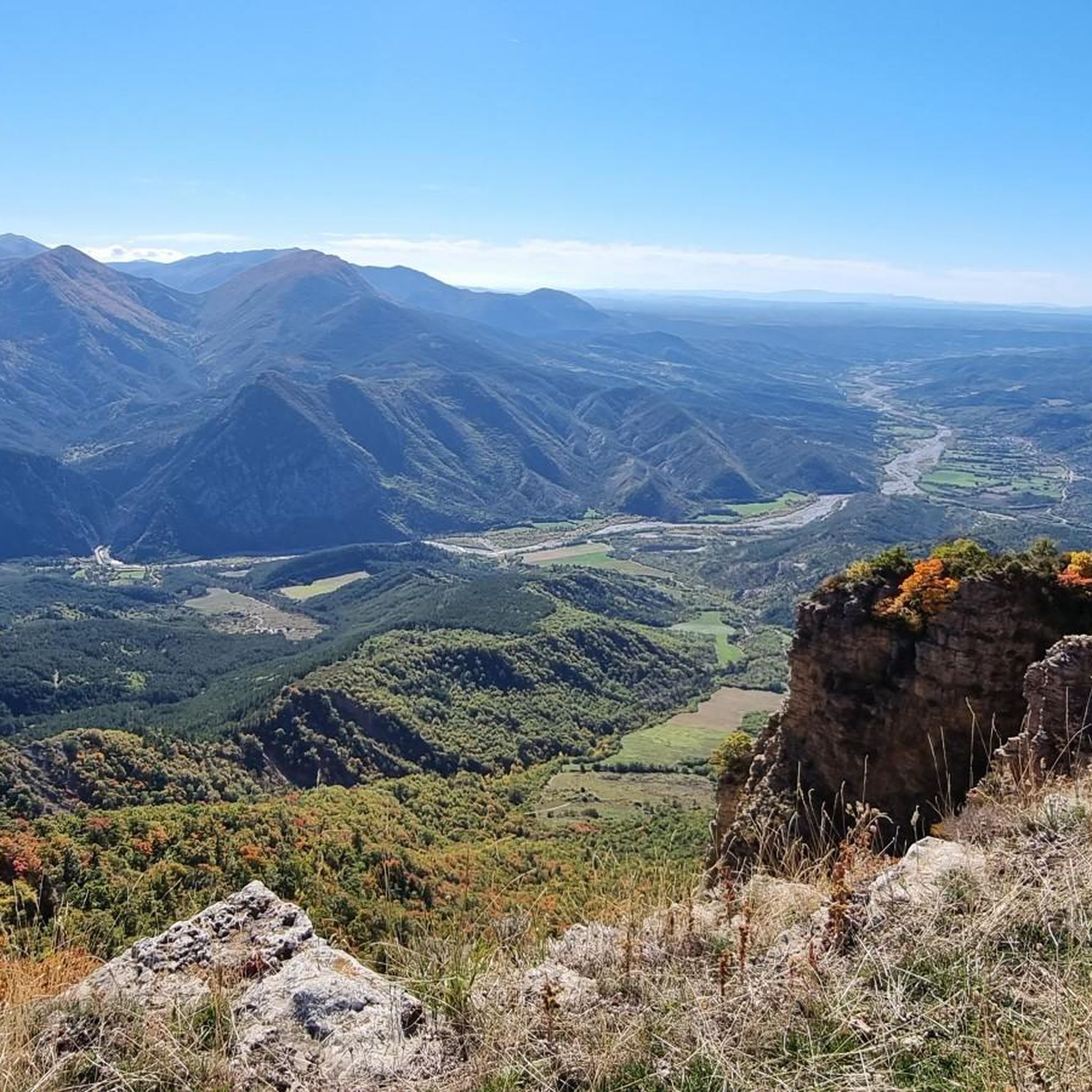
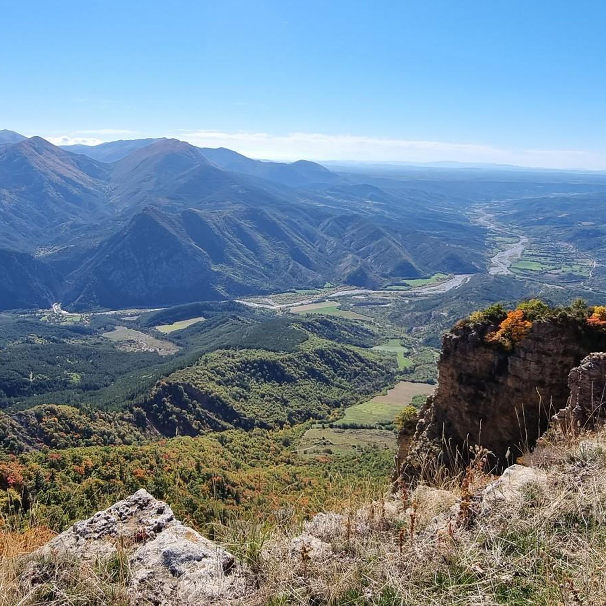
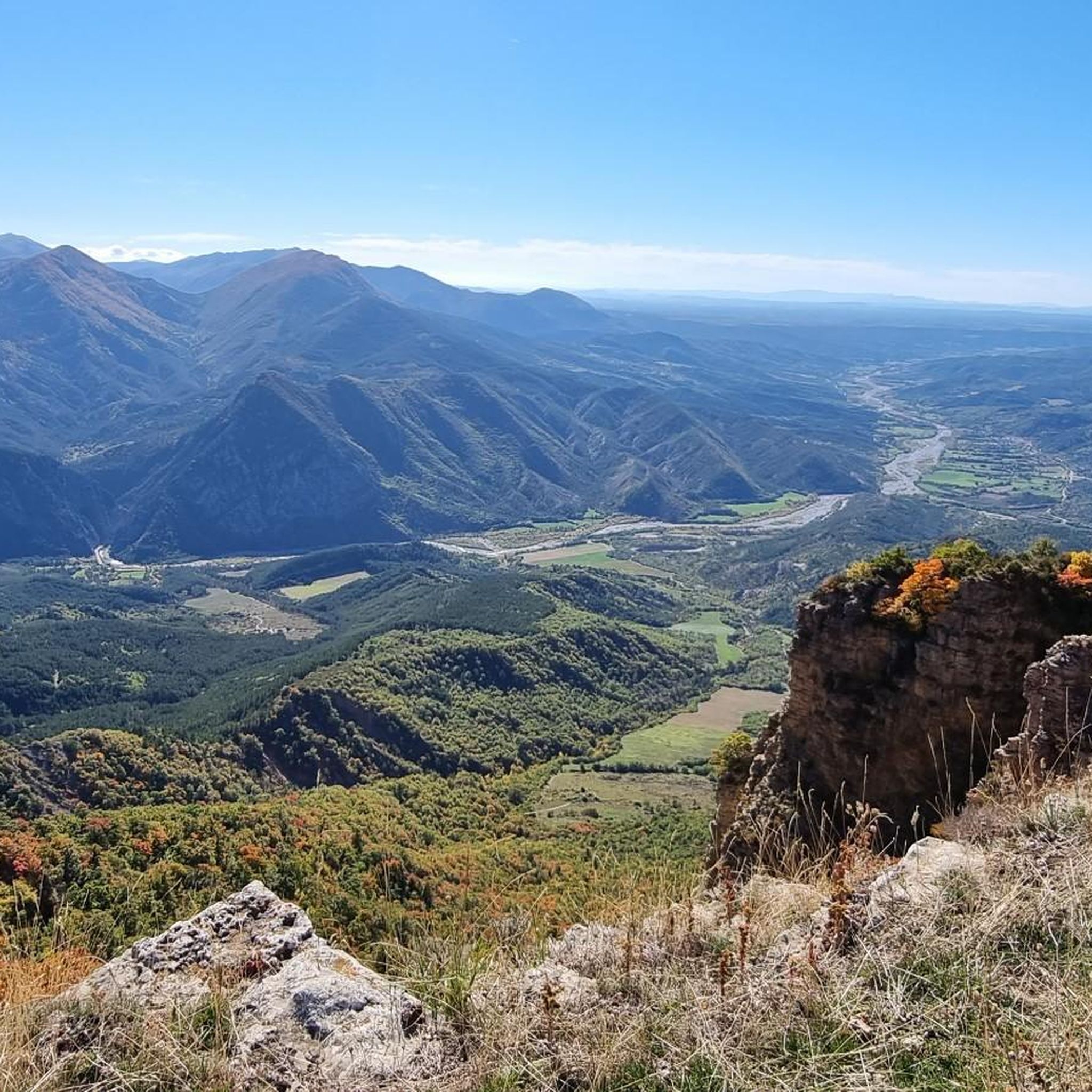
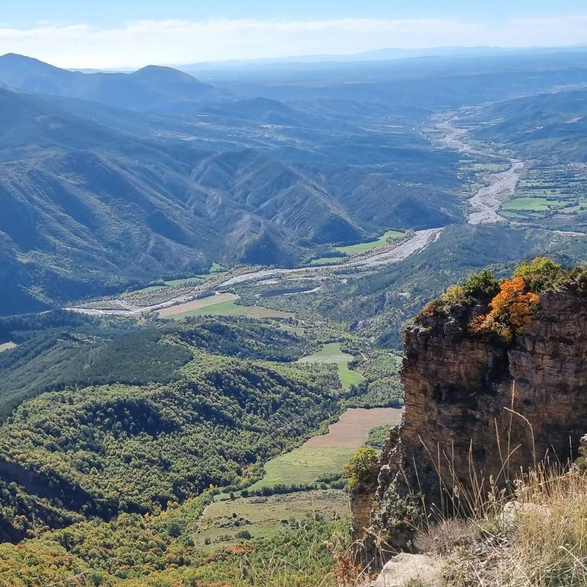
Road cycling routes around Châteauredon are situated in the Alpes-de-Haute-Provence department, offering diverse terrain for cyclists. The region features a blend of alpine and Provençal landscapes, characterized by wooded hills, mountains, and verdant valleys. Elevations range from 573 to 1,511 meters, providing both undulating rides and significant ascents. Cyclists can expect roads winding through picturesque traditional villages, alongside lavender fields, and olive groves.
Best road cycling routes around Châteauredon
- The most popular road cycling route is From Col de l'Orme…
Last updated: July 13, 2026
4.5
(8)
113
riders
46.0km
01:52
760m
760m
Moderate road ride. Good fitness required. Mostly well-paved surfaces and easy to ride.
4.8
(8)
222
riders
97.6km
04:48
1,510m
1,510m
Hard road ride. Very good fitness required. Mostly well-paved surfaces and easy to ride.

Sign up for free
4.2
(5)
173
riders
73.8km
04:07
1,490m
1,490m
Hard road ride. Very good fitness required. Mostly well-paved surfaces and easy to ride.
4.4
(13)
141
riders
60.0km
02:56
880m
880m
Moderate road ride. Good fitness required. Mostly well-paved surfaces and easy to ride.
4.5
(6)
99
riders
51.8km
02:31
740m
740m
Moderate road ride. Good fitness required. Mostly well-paved surfaces and easy to ride.
Get access to more routes and recommendations from other explorers.
Sign up for free
Already have an account?
Our route recommendations are based on thousands of hikes, rides, and runs completed by other people on komoot.
Start today with a free account
Your next adventure awaits.
Login or Signup

Tips from the Community

climb suitable for everyone, with very gentle and regular slopes
0
0

Very beautiful views while climbing the Espinouse. However, on the way down from the Col de l'Orme, when you take the road on the left, the road is very dangerous; you have to be very careful; we pass through the middle of farms, among other things.
0
0


Climb with a very beautiful road surface, the gradients increase as you go up.
13
0
The climb up this hill is very beautiful, with sections with difficult slopes.
13
0
Stop to stock up on drinking water.
11
0
At a certain point you find yourself in front of these two giants and you can't help but stop and admire them.
13
0
The canyon is something exceptional
12
0
Frequently Asked Questions
What kind of terrain can I expect on road cycling routes around Châteauredon?
The region around Châteauredon offers a diverse mix of alpine and Provençal landscapes. You'll find wooded hills, mountains, and verdant valleys, with elevations ranging from 573 to 1,511 meters. This provides opportunities for both undulating rides and significant ascents, often winding through picturesque traditional villages, lavender fields, and olive groves.
How many road cycling routes are available in the Châteauredon area?
There are over 80 road cycling routes available around Châteauredon. These routes cater to various skill levels, with 6 easy, 38 moderate, and 37 difficult options to choose from.
What is the best time of year for road cycling in Châteauredon?
Spring and autumn are generally considered the best seasons for road cycling in the Alpes-de-Haute-Provence region, including Châteauredon. During these times, the weather is pleasant, and you can enjoy the iconic lavender fields and olive groves at their most vibrant.
Are there any challenging climbs for experienced road cyclists near Châteauredon?
Yes, the region is known for its challenging passes. For instance, the route Col du Fanget (1,459 m) – Clue de Barles loop from Plan d'eau des Ferréols is a difficult 97.5 km path featuring significant climbs. Another challenging option is the Col de Puimichel – Col d'Espinouse (838 m) loop from Saint-Jurson, which includes winding roads and substantial elevation gain.
What natural attractions can I see along the road cycling routes?
The area is rich in natural beauty. You can explore highlights such as the dramatic Gorges de Trévans, the unique geological formations of Les Robines (Black Marl Hills) within the Réserve Naturelle Géologique de Haute-Provence, and scenic viewpoints like the View of the Terres Noires Badlands.
Are there any cultural or historical landmarks to visit while cycling?
Yes, the region is dotted with charming villages and heritage sites. You could visit the Saint-Michel-de-Cousson Chapel, or cycle through Digne-les-Bains, which is only 9 km from Châteauredon and serves as a departure point for some geological discovery routes. The wider area features traditional architecture, churches, fountains, and wash houses.
What do other road cyclists think about the routes in Châteauredon?
The road cycling routes in Châteauredon are highly regarded by the komoot community, with an average rating of 4.7 stars from over 100 reviews. More than 2,700 road cyclists have used komoot to explore the varied terrain, often praising the scenic beauty and diverse challenges.
Are there any moderate road cycling routes suitable for a good day trip?
Certainly. A popular moderate route is From Col de l'Orme to Col d'Espinouse, which is 46 km long and typically takes around 1 hour 51 minutes to complete. Another good option is the Pérouré Gorge – Clue de Barles loop from Plan d'eau des Ferréols, a 59.9 km moderate route.
Can I find circular road cycling routes around Châteauredon?
Yes, many routes in the area are designed as loops, allowing you to start and finish in the same location. Examples include the challenging Col du Fanget (1,459 m) – Clue de Barles loop from Plan d'eau des Ferréols and the moderate Digne-les-Bains – Digne-les-Bains loop from Plan d'eau des Ferréols.
What are the typical elevation changes on road cycling routes in this region?
The terrain around Châteauredon features significant elevation changes. Routes can range from undulating rides to substantial ascents, with the region's overall elevation varying between 573 and 1,511 meters. You'll encounter climbs like the local Col de l'Orme and higher passes such as Col d'Espinouse and Col du Pas de Bonnet.
Is Châteauredon a good base for exploring longer regional cycling routes?
Châteauredon's location within the Alpes-de-Haute-Provence makes it an excellent starting point for integrating into broader regional cycling adventures. The department is part of the Provence-Alpes-Côte d'Azur region, which features extensive cycling networks, including sections of famous routes like the Route des Grandes Alpes and the Tour du Verdon.
Most popular routes around Châteauredon
Most popular attractions around Châteauredon

Get inspired with the komoot mobile app


Explore more
Browse the best Road cycling routes in other regions.
