The best walks and hikes around Bargème
4.5
(457)
2,007
hikers
83
hikes
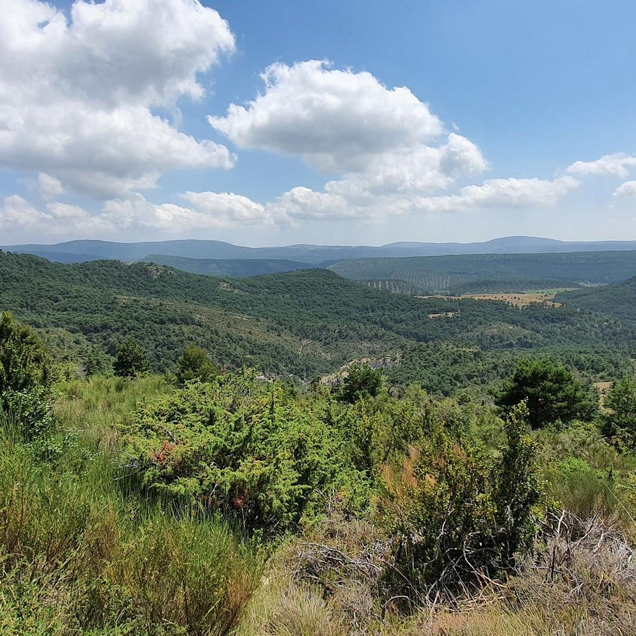
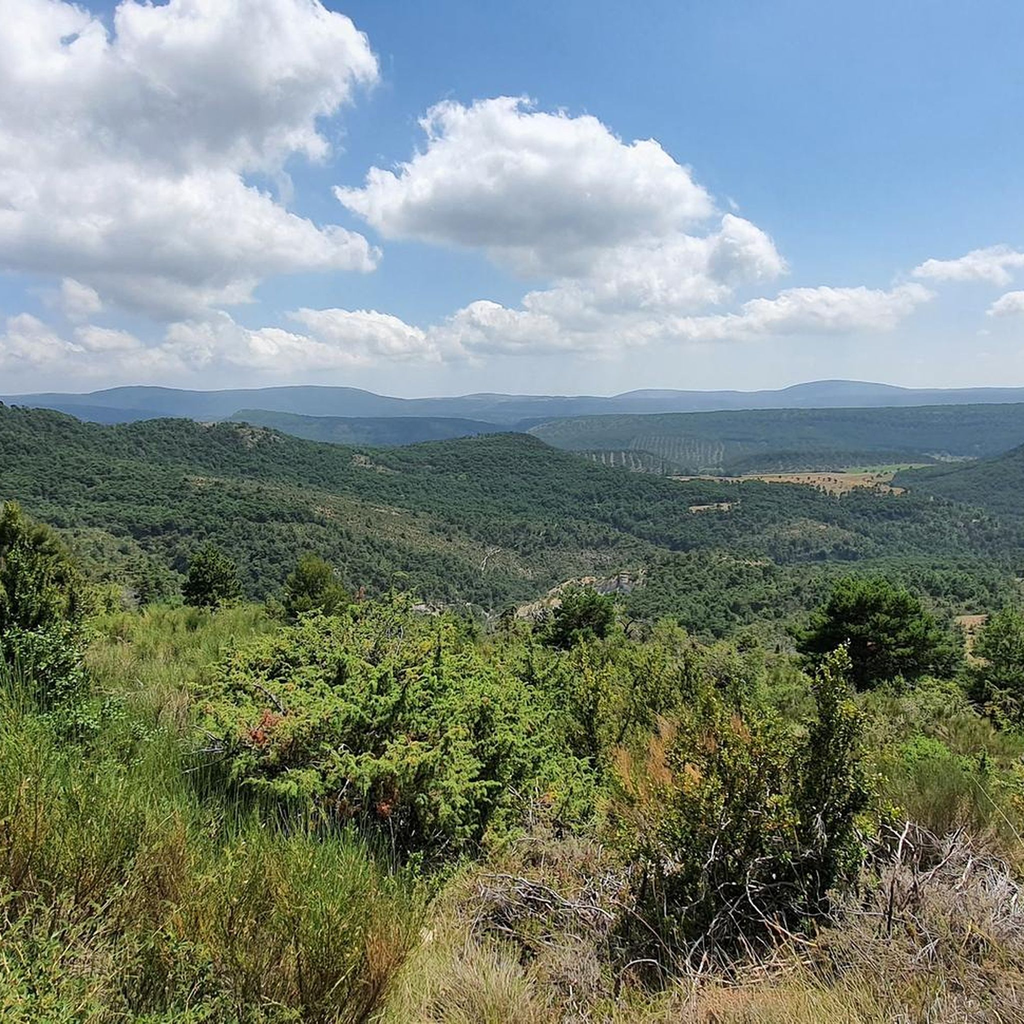
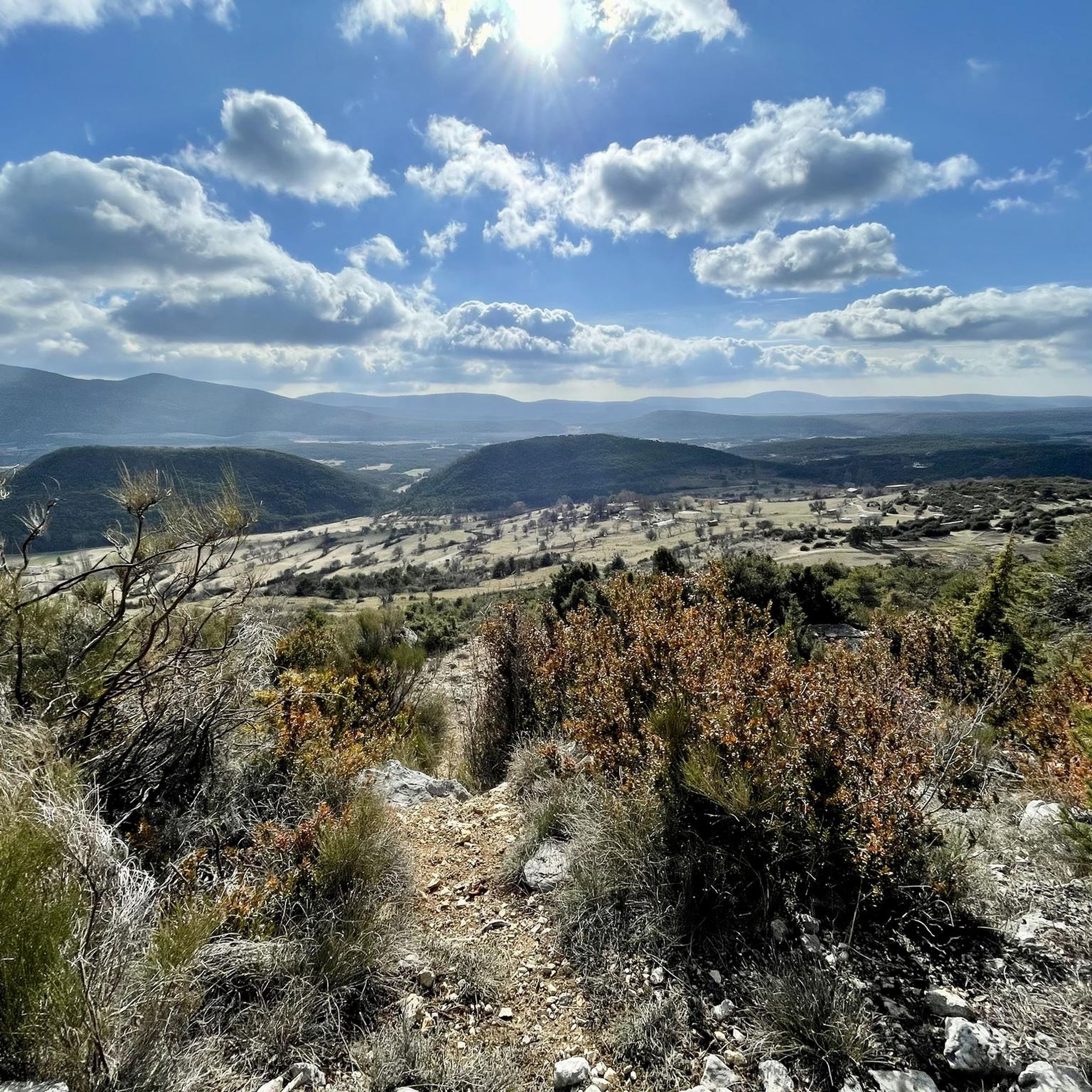
Hiking around Bargème offers exploration of a region characterized by its elevated position in the Var department, situated at 1097 meters. The terrain features a mix of pine forests, open fields, and rugged mountains, including Mont Lachens and Montagne de Brouis. Dramatic gorges like the Gorges de l'Artuby and Gorges de Mauvasque cut through the landscape, with the Artuby river flowing through. This varied topography provides diverse hiking experiences across valleys and high ridges.
Best hiking trails around Bargème
- The most popular hiking route is Tour of Mont Lachens, an 8.6 miles (13.9 km) trail that takes 4 hours 40 minutes to complete. This moderate route offers significant elevation changes and panoramic views.
- Another top favourite among local hikers is Bargème Castle – Bargème loop from La Bastide, a moderate 7.0 miles (11.3 km) path. This trail provides views of the village and its historic castle ruins, taking about 3 hours 8 minutes.
- Local hikers also love the Bargème – Main Square of Bargème loop from Bargème, a 3.7 miles (5.9 km) trail leading through the village's historic core, often completed in about 1 hour 42 minutes.
- Hiking around Bargème is defined by high-altitude panoramas, medieval heritage sites, and diverse terrain ranging from pine forests to rugged mountains. The network offers options for easy walks, moderate excursions, and more challenging routes.
- The routes in Bargème are highly rated by the komoot community with an average score of 4.6 stars from more than 400 reviews. More than 1900 hikers have used komoot to explore Bargème's varied terrain.
Last updated: June 25, 2026
4.8
(10)
106
hikers
13.9km
04:40
720m
720m
Moderate hike. Good fitness required. Easily-accessible paths. Suitable for all skill levels.
4.9
(14)
52
hikers
11.3km
03:08
200m
200m
Moderate hike. Good fitness required. Easily-accessible paths. Suitable for all skill levels.

Sign up for free
4.7
(10)
33
hikers
5.76km
01:39
140m
140m
Easy hike. Great for any fitness level. Easily-accessible paths. Suitable for all skill levels.
5.0
(3)
49
hikers
14.4km
04:42
690m
690m
Moderate hike. Good fitness required. Easily-accessible paths. Suitable for all skill levels.
5.0
(7)
24
hikers
12.6km
04:03
490m
480m
Moderate hike. Good fitness required. Easily-accessible paths. Suitable for all skill levels.
Get access to more routes and recommendations from other explorers.
Sign up for free
Already have an account?
Our route recommendations are based on thousands of hikes, rides, and runs completed by other people on komoot.
Start today with a free account
Your next adventure awaits.
Login or Signup

Tips from the Community

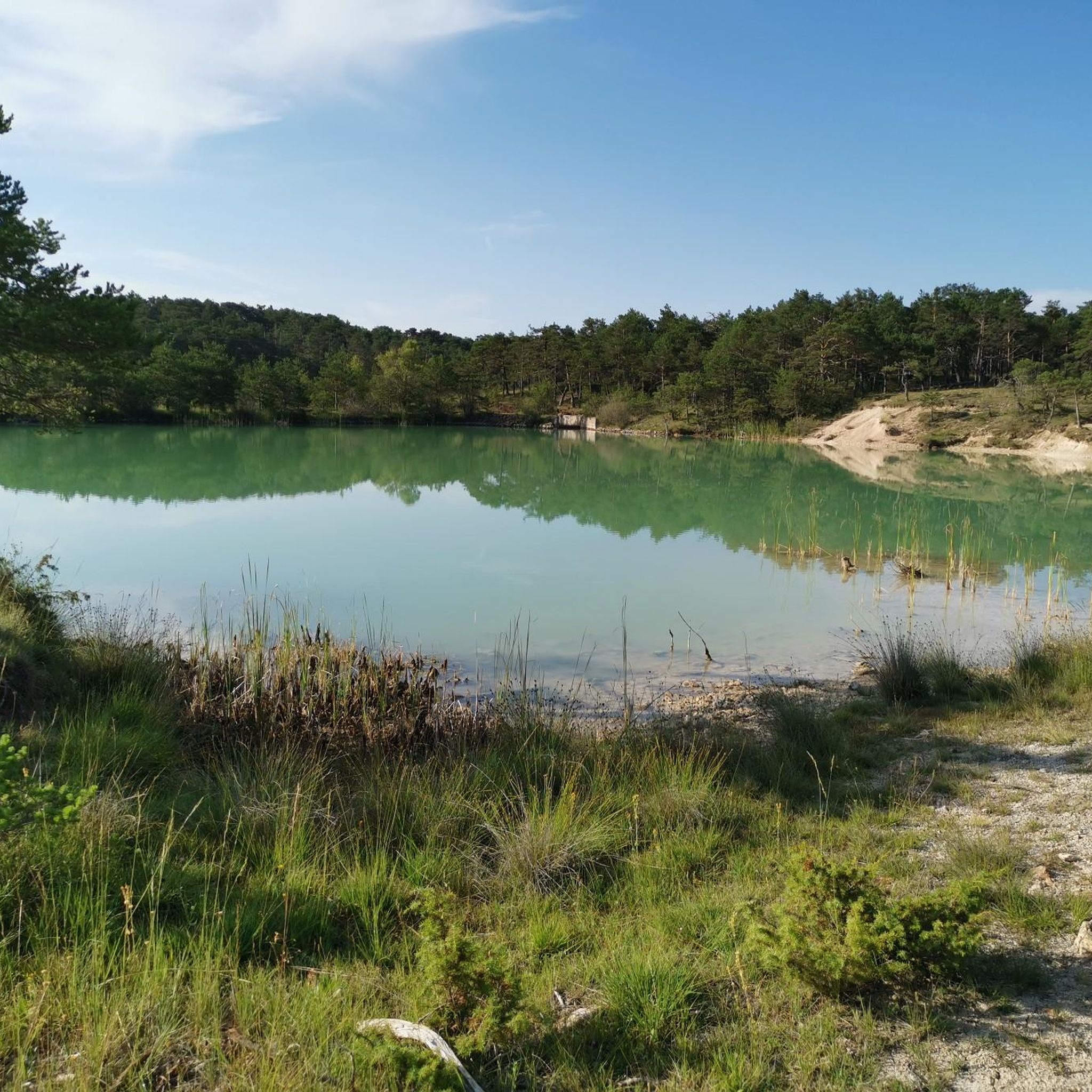
nice place to meditate, rest, picnic - please don't leave rubbish
0
0
a look at the white rock formations is worthwhile, if you are lucky vultures circle over the rocks
0
0

With its 1,712 m altitude, the Lachen mountain is the highest point in the Var department. From this summit, the peaks of Corsica are visible on a clear day. To the north of this peak begin the mountains of the Alps.
5
0

It is a nice passage, where you overlook the valley while being dominated by the mountain of Lachens, the highest point of the Var.
1
0
La Bastide is a very pretty village located at the foot of the Montagne de Lachens. From the village, you can enjoy a superb panorama over the Var and the surrounding departments. It is a very beautiful place, located in an incredible natural setting.
0
0
Located at an altitude of 1,097 meters, Bargème is the highest village in the Var! It is a superb small town of 223 inhabitants, with very beautiful stone houses.
1
0
Frequently Asked Questions
How many hiking trails are there in Bargème?
There are over 80 hiking routes around Bargème, offering a wide range of experiences from easy strolls to more challenging treks. The komoot community has explored more than 1900 of these routes.
What kind of terrain can I expect on Bargème's hiking trails?
Bargème's terrain is diverse, featuring a mix of pine forests, open fields, and rugged mountains like Mont Lachens and Montagne de Brouis. You'll also encounter dramatic gorges such as the Gorges de l'Artuby and Gorges de Mauvasque, with the Artuby river flowing through. The village's elevated position provides high-altitude panoramas across valleys and ridges.
Are there easy hiking trails suitable for beginners or families in Bargème?
Yes, Bargème offers a good selection of easy trails. There are 27 easy routes, perfect for beginners or families looking for a relaxed walk. A good option is the Bargème – Main Square of Bargème loop from Bargème, which is 3.7 miles (5.9 km) long and takes about 1 hour 42 minutes.
What are some notable landmarks or viewpoints I can see while hiking in Bargème?
Bargème is rich in both natural and historical landmarks. You can explore the imposing ruins of the 13th-century medieval Château de Sabran de Pontaves, or visit the 12th-century Romanesque St-Nicolas church. For stunning natural views, consider routes that offer panoramas of the Canjuers plateau, the Massif des Maures, and the foothills of the Alps. The Mont Lachens summit is a prominent natural landmark, and the Gorges de l'Artuby offer dramatic scenery.
Are there any circular hiking routes in Bargème?
Yes, many of the trails around Bargème are circular, allowing you to start and end in the same location. Popular loop options include the Bargème Castle – Bargème loop from La Bastide, which is a moderate 7.0 miles (11.3 km) path, or the shorter Bargème – Main Square of Bargème loop from Bargème.
When is the best time of year to go hiking in Bargème?
Bargème offers hiking opportunities throughout the year. Its elevated position means cooler temperatures in summer, making it pleasant for hiking. In winter, the landscape can be beautifully covered in snow, offering a different kind of experience. Spring and autumn provide mild weather and vibrant natural colors, ideal for exploring the diverse terrain.
What do other hikers enjoy most about hiking in Bargème?
The area is highly rated by the komoot community, with an average score of 4.6 stars from over 400 reviews. Hikers often praise the incredible panoramic views from Bargème's high-altitude location, the charm of its medieval village, and the diverse terrain that ranges from pine forests to rugged mountains.
Is there parking available for hiking trailheads in Bargème?
Yes, Bargème, being a village that caters to visitors, typically has parking available within or near the village center, which often serves as a starting point for many trails. Specific parking details for individual trailheads may vary, but general village parking is usually accessible.
Can I reach Bargème's hiking trails using public transport?
Bargème is a secluded village, and public transport options directly to the trailheads are limited. It is generally recommended to travel by car to access the hiking routes around Bargème, as this provides the most flexibility for reaching various starting points.
Are there any cafes or restaurants in Bargème for after a hike?
Yes, Bargème, despite its small size, offers some amenities for visitors. You can find local establishments within the village where you can enjoy a meal or a drink after your hike, experiencing the authentic charm of this 'Most Beautiful Village' in France.
Are there any challenging hikes for experienced walkers in Bargème?
Yes, Bargème provides options for more experienced hikers. There are 7 difficult routes and 49 moderate routes that offer significant elevation changes and longer distances. The Tour of Mont Lachens is a moderate 8.6 miles (13.9 km) trail with substantial elevation gain, taking about 4 hours 40 minutes to complete.
Can I hike with my dog on the trails around Bargème?
Generally, dogs are welcome on many hiking trails in the Bargème region, especially in the natural areas and forests. However, it's always advisable to keep your dog on a leash, particularly in areas with livestock or protected wildlife, and to check for any specific local regulations or signage on individual trails.
Most popular attractions around Bargème

Get inspired with the komoot mobile app


Explore more
Browse the best Hikes in other regions.
