Top 15 Mountain Passes around Tanneron
Best mountain passes around Tanneron are situated in the Var department of southeastern France, characterized by its position between the Esterel Massif and the Mediterranean coast. The region features varied terrain, including hills covered in mimosa forests and views extending to the sea. Mountain passes here offer routes through a landscape shaped by both natural features and historical presence. The area provides opportunities for exploring different elevations and natural environments.
Best mountain passes around Tanneron
- The most popular mountain passes…
Last updated: June 26, 2026
Notre-Dame Pass
Highlight • Mountain Pass
Translated by Google •
Tip by

Col de Théoule
Highlight • Mountain Pass
Translated by Google •
Tip by

Sign up now to discover places like this
Get recommendations on the best single tracks, peaks, & plenty of other exciting outdoor places.
Sign up for free
Tanneron Pass
Highlight • Mountain Pass
Translated by Google •
Tip by

Descent from Col de l'Auriasque towards Fréjus
Highlight (Segment) • Mountain Pass
Translated by Google •
Tip by

Cadière Pass
Highlight • Mountain Pass
Tip by

Sign up for free to discover even more mountain passes around Tanneron.
Sign up for free
Already have an account?
Start today with a free account
Your next adventure awaits.
Login or Signup

Tips from the Community

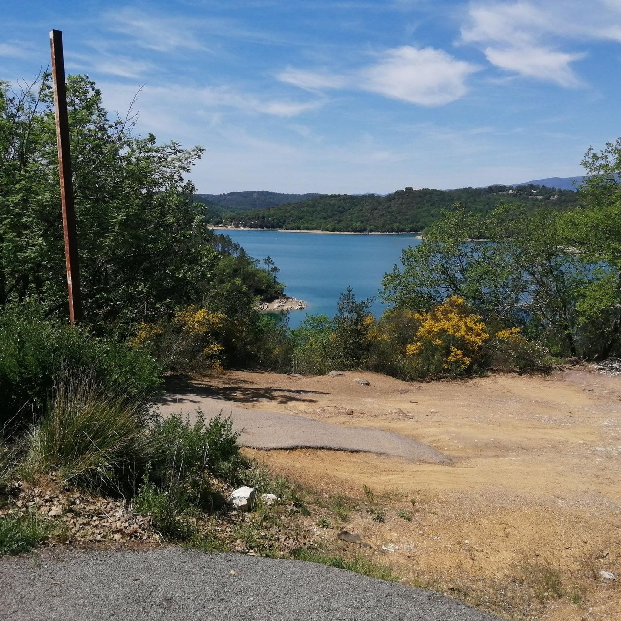
I would be happy to give you another tip in the area. From Theoule sur Mer you drive south along the coastal road, past La Figueirette, after the Calanque de Maupas and the Calanque de Maubois you reach Cap Roux. There is a parking lot and a building on the left side of the road (sea side). You can park there. Then continue south along the road for about 200 m. There you go right up to Pic Roux. There is an information board right on the street. At first the road is tarred, after about 30 minutes it turns into natural paths. The hike to Pic Roux takes about 1.45 hours and is very well described. At the summit there is a great view of the Calanques and towards Cannes. Bring a picnic and enjoy the wonderful view from the “peak”. Amusez - vous bien!
2
1

The Peygros oppidum, located three kilometers northeast of the community, documents pre-Roman settlement in the area. The place was first mentioned as Castrum Tannaroni in 1200. The name may come from the root word tan, which refers to the bark of chestnuts and oaks, or it may go back to a pre-European root, according to which tan means mountain. The village belonged to the territory of Grasse and became an independent municipality in 1825 when it separated from Callian.
2
0

The slope is rather constant: to climb to the train. Turn around during the climb (from Pegomas): you can see the Lérins Islands.
0
0

Beautiful trails, stony and technical at times, but so beautiful! Have good sturdy tires, otherwise beware of the risk of punctures!
0
1

View of the sea and the Southern Alps, great landscape
1
0

Great point of view. Accessible in gravel
0
0

Major intersection of many trails and a closed road
0
0
Frequently Asked Questions
What are some popular mountain passes to explore around Tanneron?
Visitors frequently enjoy Notre-Dame Pass, which offers breathtaking views of the L'Esterel Mountains, the Mediterranean Sea, and Cannes. Another favorite is Tanneron Pass, known for its views towards the Lérins Islands during the climb. Col de Théoule is also popular, providing access to trails with great views, such as the hike to Pic Roux.
Are there mountain passes around Tanneron suitable for cycling?
Yes, the region offers several passes ideal for cycling. Col de Lauragais Descent to Fréjus is particularly noted for its freshly tarred road, making it a fun and clear descent for cyclists. Notre-Dame Pass is also accessible for cycling tours, both paved and unpaved.
What kind of views can I expect from the mountain passes in Tanneron?
The mountain passes around Tanneron offer diverse and stunning views. From Notre-Dame Pass, you can see the L'Esterel Mountains, the Mediterranean Sea, and the city of Cannes. Tanneron Pass provides vistas towards the Lérins Islands. Many passes, like Col de Théoule and Cadière Pass, are also designated viewpoints, offering panoramic scenery of the surrounding natural landscape.
Are there any historical sites or points of interest near the Tanneron mountain passes?
Yes, the area has historical significance. Near Tanneron Pass, you can find the Peygros oppidum, which documents pre-Roman settlement in the area. The village of Tanneron itself has a history dating back to 1200, first mentioned as Castrum Tannaroni, and became an independent municipality in 1825.
What are the best times to visit the mountain passes around Tanneron?
The Tanneron region is famous for its mimosa forests, which typically bloom from January to March, making late winter and early spring a particularly beautiful time to visit. Spring and autumn generally offer pleasant temperatures for outdoor activities. One visitor noted enjoying a descent at Col de Lauragais Descent to Fréjus in April with little traffic, suggesting good conditions during that month.
What types of trails can I find at the mountain passes?
The passes offer a variety of trails. Notre-Dame Pass is a starting point for both paved and unpaved walking and cycling tours. Cadière Pass is a major intersection for many trails, some of which are described as stony and technical, requiring sturdy tires for cycling. Col de Théoule also provides access to natural paths for hiking.
Are there opportunities for hiking near the mountain passes in Tanneron?
Absolutely. Many mountain passes serve as excellent starting points for hikes. For instance, from Col de Théoule, you can embark on a hike to Pic Roux, which offers great views. The region also features numerous running trails, such as the 'Scenic view – Peygros Trail loop from Auribeau-sur-Siagne' or 'The Siagne River loop from Auribeau-sur-Siagne'. You can find more details on these routes in the Running Trails around Tanneron guide.
Can I find gravel biking routes around the Tanneron mountain passes?
Yes, the area around Tanneron is suitable for gravel biking. Routes like the 'Lake Saint-Cassien Trail – Malpasset Dam loop from Les Adrets-de-l'Estérel' and 'Ascent on uneven paths – Lake Saint-Cassien Trail loop from Réserve Biologique de Fondurane' are available. For more gravel biking options, refer to the Gravel biking around Tanneron guide.
What do visitors particularly enjoy about the mountain passes in Tanneron?
Visitors appreciate the stunning panoramic views, especially those extending over the Mediterranean Sea and the L'Esterel Mountains. The variety of trails for both walking and cycling, including freshly tarred roads for enjoyable descents, is also highly valued. The peaceful and beautiful natural settings, often described as being between red rocks and green bushes, are frequently highlighted in visitor tips.
Are there road cycling routes that incorporate the mountain passes?
Yes, the Tanneron region offers several road cycling routes. You can find routes like the 'Tanneron Pass – Saint-Cassien Lake Road loop from Tanneron' or the 'Col de Testanier – Steady Climb to Col du Tanier loop from Les Adrets-de-l'Estérel'. These routes often feature moderate to difficult grades. More information is available in the Road Cycling Routes around Tanneron guide.
Are there any challenging trails or climbs among the mountain passes?
Yes, some passes offer more challenging experiences. Cadière Pass features trails that can be stony and technical. Tanneron Pass involves a 5.5 km climb with an average percentage of 5.2%, reaching a highest point of 363 meters, which can be a good challenge for cyclists.
Most popular routes around Tanneron
Most popular attractions around Tanneron

Get inspired with the komoot mobile app


Explore more
See even more epic mountain passes by checking out these guides around Tanneron:
