The best walks and hikes around Goupillières
4.5
(216)
940
hikers
88
hikes
Hiking around Goupillières offers trails through the varied landscape of the region. The area is characterized by its rolling countryside, often featuring river valleys and historical landmarks. Elevation changes are generally gentle, with routes typically traversing woodlands and open fields. The network of trails provides opportunities to explore the natural and cultural features of Goupillières.
Best hiking trails around Goupillières
- The most popular hiking route is Source of the Austreberthe – Austreberthe Spring loop from Pavilly, a 6.1 miles…
Last updated: July 16, 2026
4.5
(4)
21
hikers
9.76km
02:43
180m
180m
Moderate hike. Good fitness required. Easily-accessible paths. Suitable for all skill levels.
5.0
(3)
20
hikers
9.51km
02:40
190m
180m
Moderate hike. Good fitness required. Easily-accessible paths. Suitable for all skill levels.

Sign up for free
4.7
(3)
9
hikers
11.7km
03:04
90m
90m
Moderate hike. Good fitness required. Easily-accessible paths. Suitable for all skill levels.
4.7
(3)
9
hikers
11.8km
03:05
90m
90m
Moderate hike. Good fitness required. Easily-accessible paths. Suitable for all skill levels.
5.0
(1)
12
hikers
5.93km
01:34
60m
60m
Easy hike. Great for any fitness level. Easily-accessible paths. Suitable for all skill levels.
Get access to more routes and recommendations from other explorers.
Sign up for free
Already have an account?
Our route recommendations are based on thousands of hikes, rides, and runs completed by other people on komoot.
Start today with a free account
Your next adventure awaits.
Login or Signup
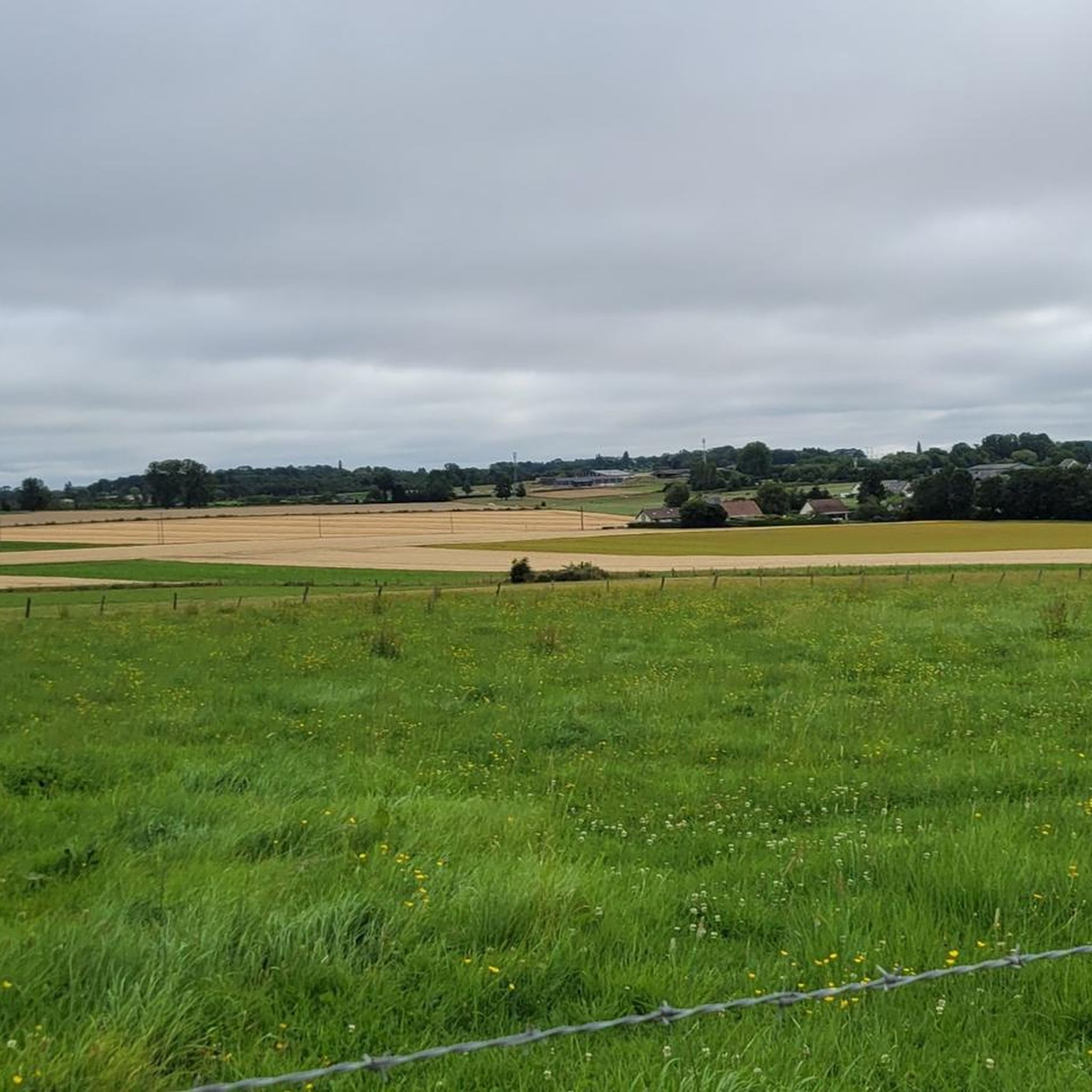

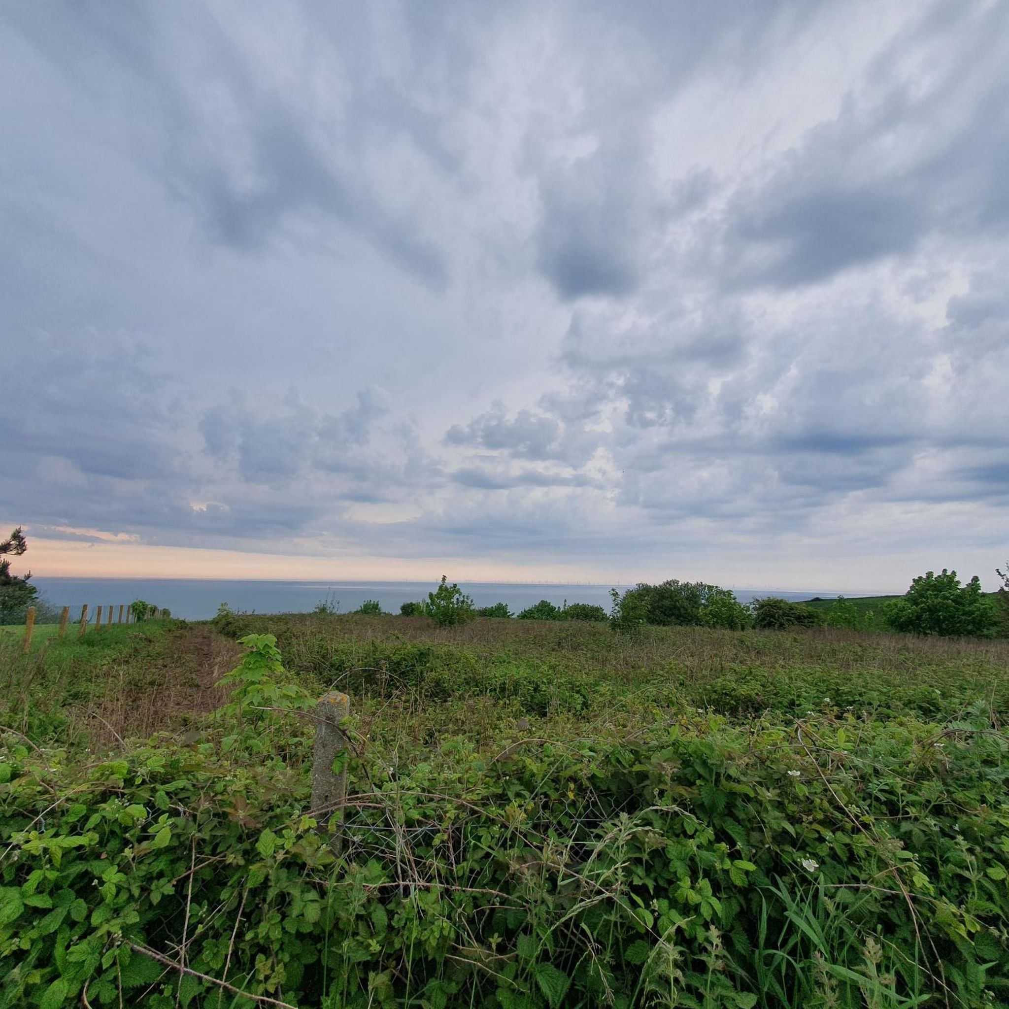
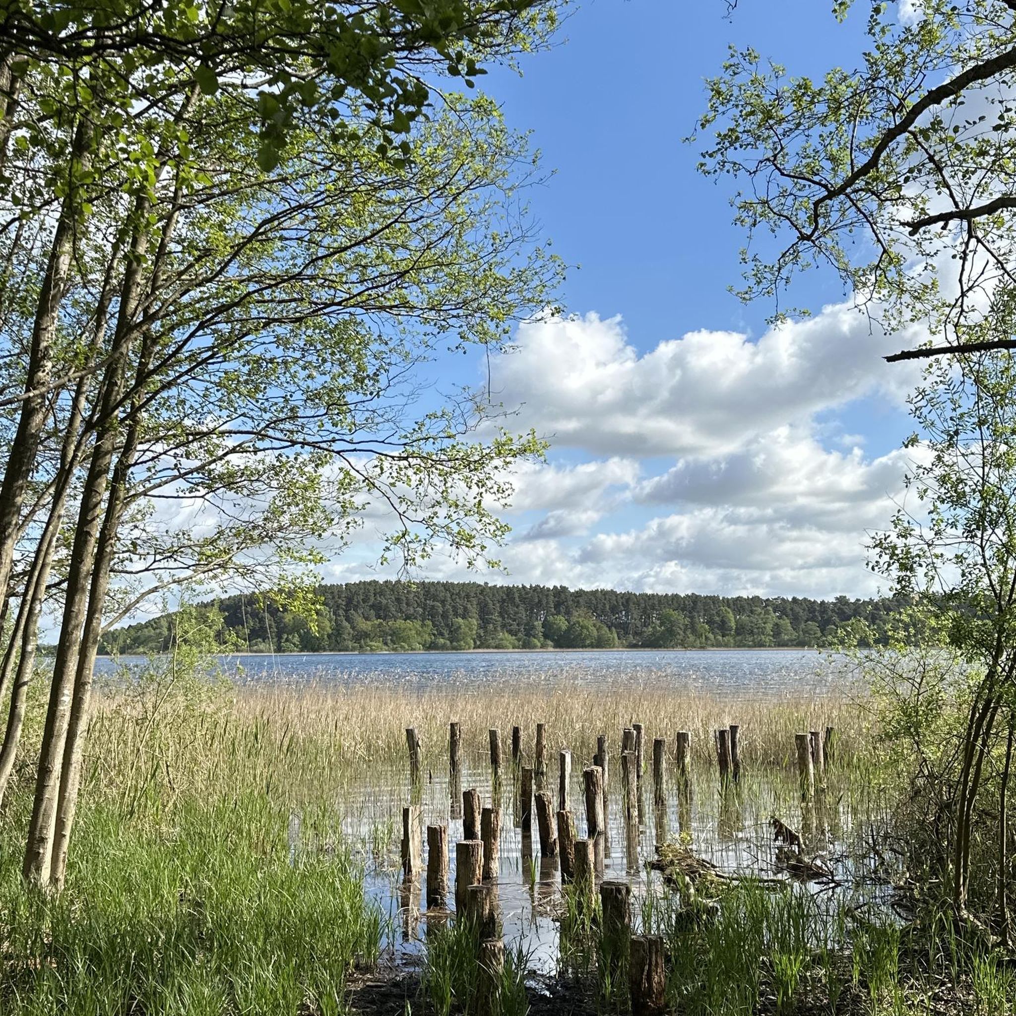
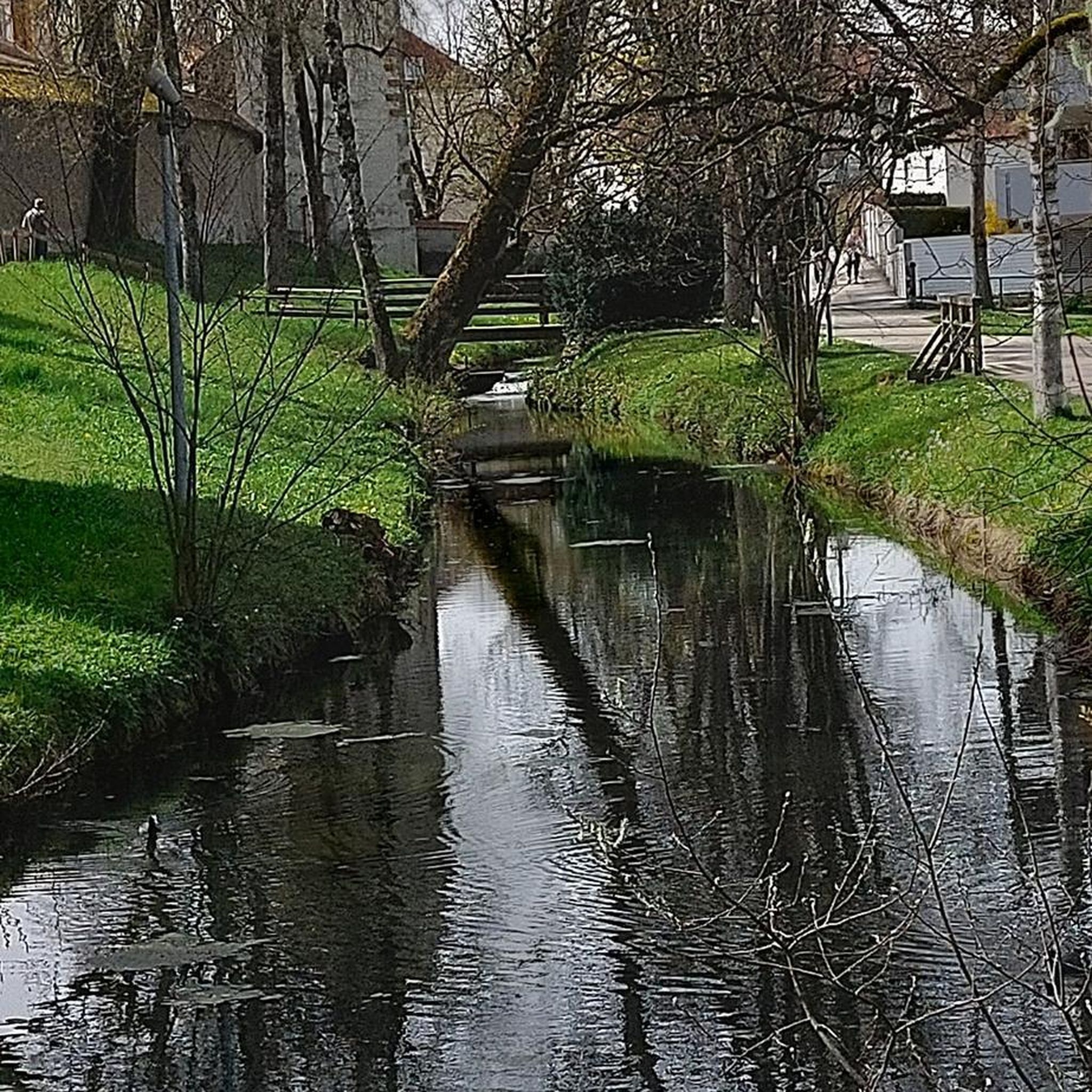
Tips from the Community

Passage under this beautiful viaduct. Not far from the chapel of Saint Hélier, where you can find benches and a nice space to stop, regroup and refuel.
1
0
Very pretty water point in the village. You can stop there to take a breather and take photos.
0
0


The story of a river, a legend and biodiversity.
0
0

Hello, I'm from Saint Ouen du Breuil and I'm looking for ways because I don't know the area at all.
0
0
Frequently Asked Questions
How many hiking trails are available in Goupillières?
There are over 80 hiking trails around Goupillières, offering a wide range of options for different preferences and skill levels. The region is known for its varied landscape, including river valleys and woodlands.
Are there easy hiking trails suitable for beginners or families in Goupillières?
Yes, Goupillières offers many easy hiking trails. Approximately 28 routes are classified as easy, making them ideal for beginners or families with children. An example is the Barentin Viaduct – Viaduc de Yainville loop from Pavilly-Station, which is just under 6 km long with gentle elevation changes.
Can I find circular hiking routes in Goupillières?
Many of the trails in Goupillières are designed as circular routes, allowing you to start and end at the same point. For instance, the Source of the Austreberthe – Austreberthe Spring loop from Pavilly is a popular circular option that follows the course of the Austreberthe river.
What kind of scenery can I expect on hikes around Goupillières?
Hiking around Goupillières offers diverse scenery, characterized by rolling countryside, tranquil river valleys (like the Austreberthe), woodlands, and open fields. You'll experience gentle elevation changes and picturesque rural landscapes.
Are there any historical sites or landmarks to see while hiking?
Yes, the region features historical landmarks. For example, the Château de Grosfy loop from Butot takes you past the historic Château de Grosfy, offering a glimpse into the area's heritage amidst the natural surroundings.
What are some natural attractions I can explore on the trails?
A significant natural attraction in the area is the Source of the Austreberthe. Several trails, such as the Source of the Austreberthe – Austreberthe Spring loop from Sainte-Austreberthe, explore this natural spring and the surrounding river valley.
Is Goupillières a good place for dog-friendly hikes?
The rural and natural landscape of Goupillières generally makes it suitable for dog-friendly hikes. Many trails traverse open fields and woodlands, providing ample space for dogs, though it's always advisable to keep them on a leash, especially near livestock or protected areas.
What is the best time of year to go hiking in Goupillières?
The best time to hike in Goupillières is typically during spring, summer, and early autumn. These seasons offer pleasant weather for exploring the open fields and woodlands. Spring brings blooming flora, while autumn showcases beautiful fall colors.
Are there options for public transport to reach trailheads in Goupillières?
While specific public transport options to every trailhead may vary, some routes, like the Barentin Viaduct – Viaduc de Yainville loop, start near Pavilly-Station, suggesting potential access via local train or bus services. It's recommended to check local transport schedules for specific starting points.
Where can I park when hiking in Goupillières?
Parking availability varies by trailhead. Many villages and towns that serve as starting points for hikes, such as Pavilly, Sainte-Austreberthe, and Butot, typically offer public parking facilities. Look for designated parking areas near popular trail access points.
What do other hikers say about the trails in Goupillières?
The hiking trails in Goupillières are highly rated by the komoot community, with an average score of 4.5 stars from over 180 reviews. Hikers often praise the quiet woodlands, the scenic river valleys, and the well-maintained paths that make for enjoyable excursions.
Are there any longer, more challenging hikes for experienced hikers?
While many trails feature gentle elevation changes, there are options for more experienced hikers looking for longer distances. The region offers 53 moderate routes and 4 difficult routes. For example, the Château de Grosfy loop from Grosfy is a moderate 11.7 km trail that provides a good workout.
Most popular routes around Goupillières
Most popular attractions around Goupillières

Get inspired with the komoot mobile app


Explore more
Browse the best Hikes in other regions.
