The best mountain hikes around Churwalden
5.0
(2)
37
hikers
4
hikes
Mountaineering routes around Churwalden are set within the alpine landscapes of Graubünden, Switzerland. The region is characterized by dramatic mountain peaks, expansive valleys, and extensive trail networks. These routes offer panoramic views of surrounding ranges such as Piz Beverin, the Sardona chain, and the Rhine Valley. The terrain includes significant summits like the Weisshorn and Parpaner Rothorn, providing varied challenges for mountaineers.
Best mountaineering routes around Churwalden
- The most popular mountaineering route is Calanda Hut – Calanda Summit loop from…
Last updated: September 26, 2026
25
hikers
12.9km
06:56
1,020m
1,020m
Hard mountaineering route. Very good fitness required. Sure-footedness, sturdy shoes and alpine experience required.
5.0
(2)
8
hikers
18.5km
07:20
990m
990m
Hard mountaineering route. Very good fitness required. Sure-footedness, sturdy shoes and alpine experience required.

2
hikers
11.1km
04:06
560m
560m
Moderate mountaineering route. Good fitness required. Mostly accessible paths. Sure-footedness required.
2
hikers
18.5km
07:59
1,200m
1,200m
Hard mountaineering route. Very good fitness required. Sure-footedness, sturdy shoes and alpine experience required.
Our route recommendations are based on thousands of hikes, rides, and runs completed by other people on komoot.
Start today with a free account
Your next adventure awaits.
Popular around Churwalden
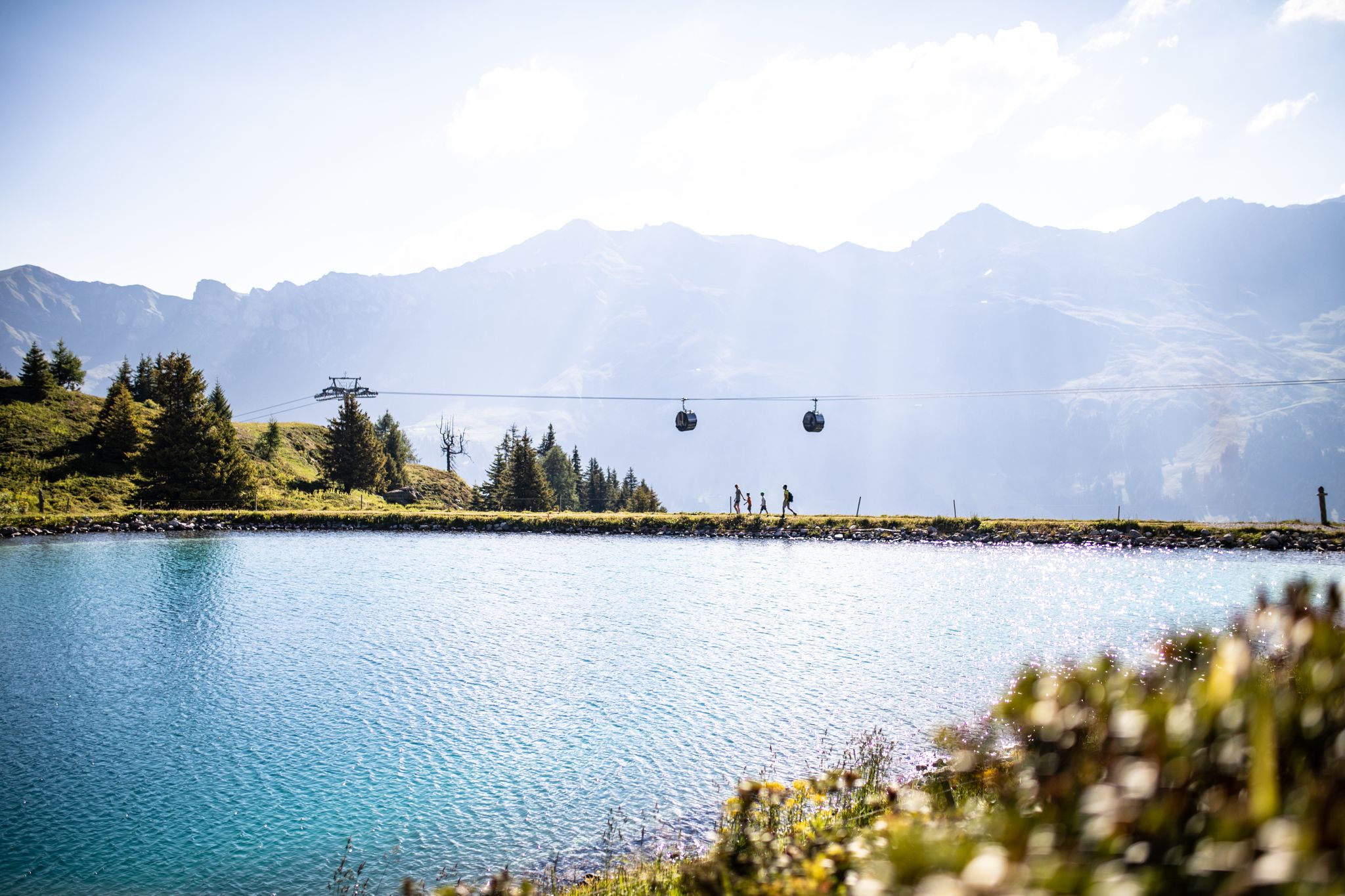
From the peaks to the cool waters – Coolcation Lenzerheide
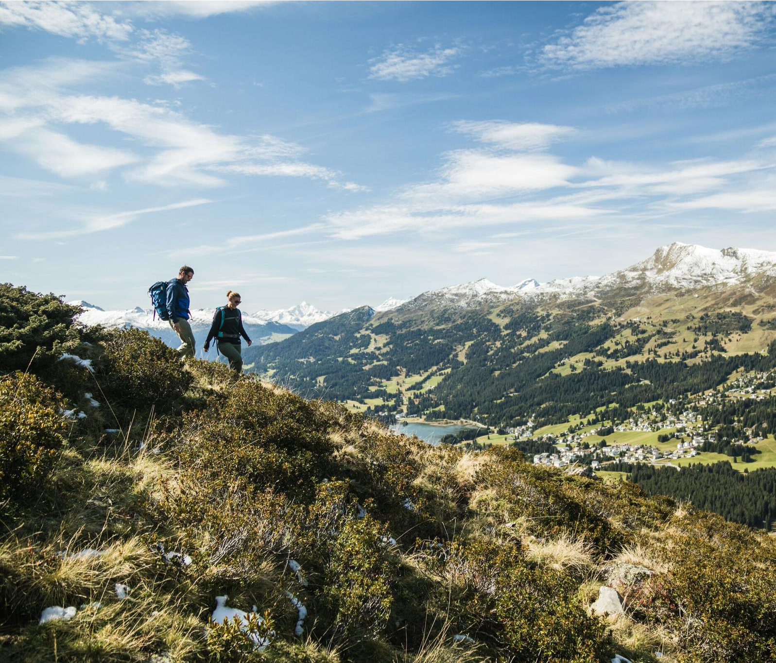
Diverse natural beauty – autumn hiking in Lenzerheide
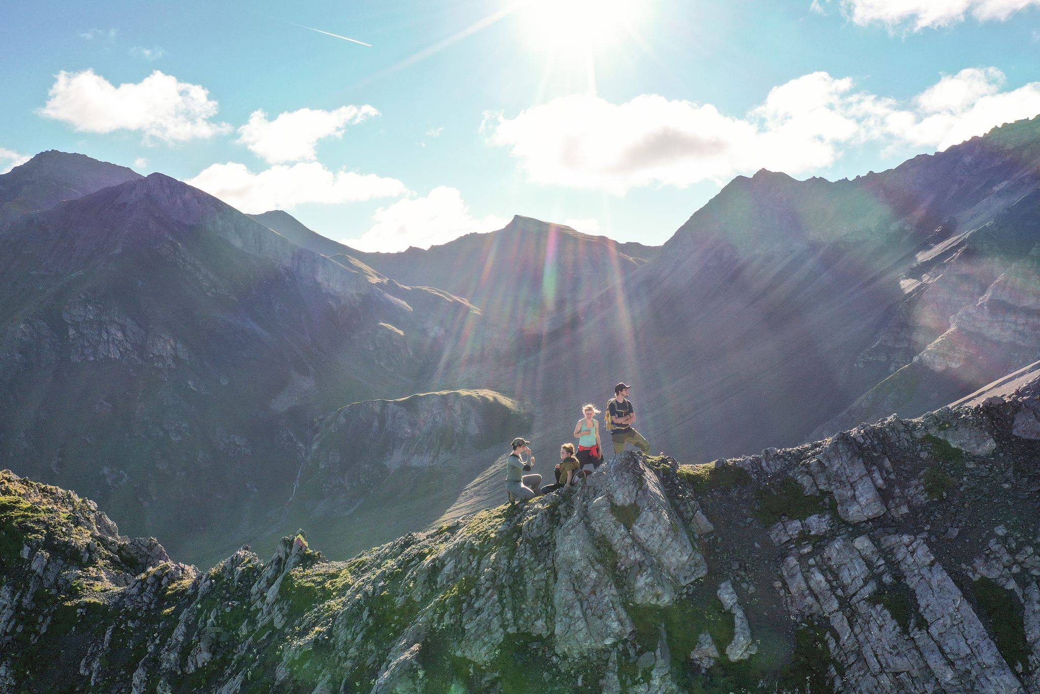
Satisfy your wanderlust in the Lenzerheide region
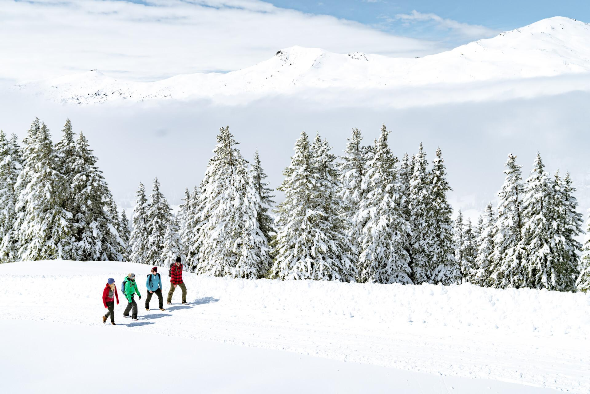
Immerse yourself in Lenzerheide's winter wonderland
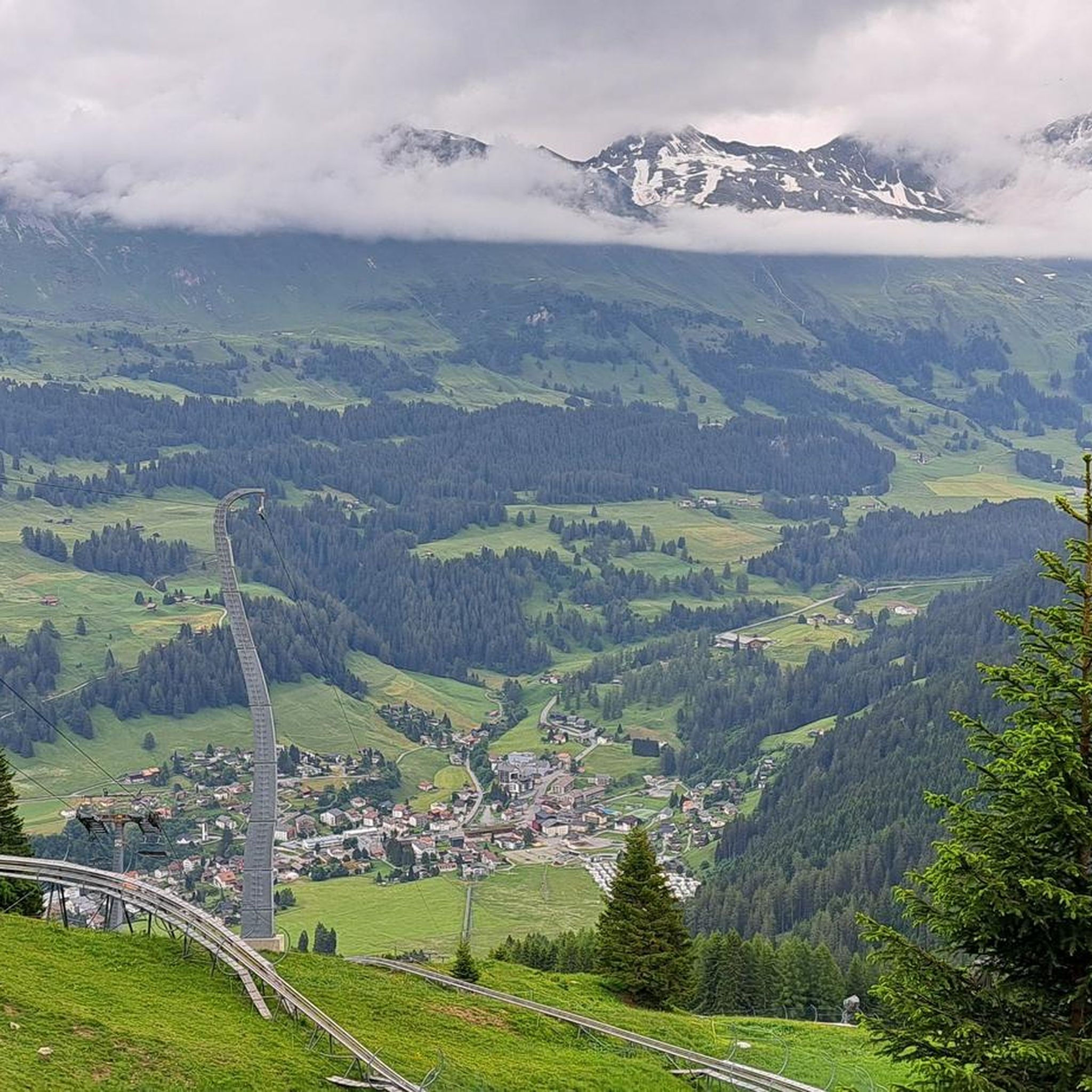
Hiking around Churwalden
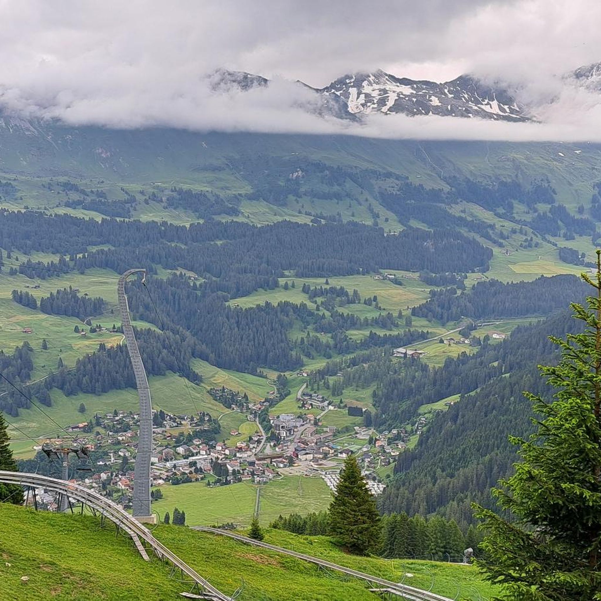
Road Cycling Routes around Churwalden
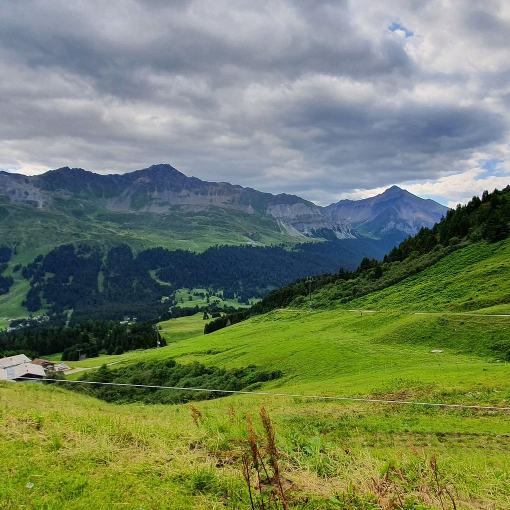
MTB Trails around Churwalden
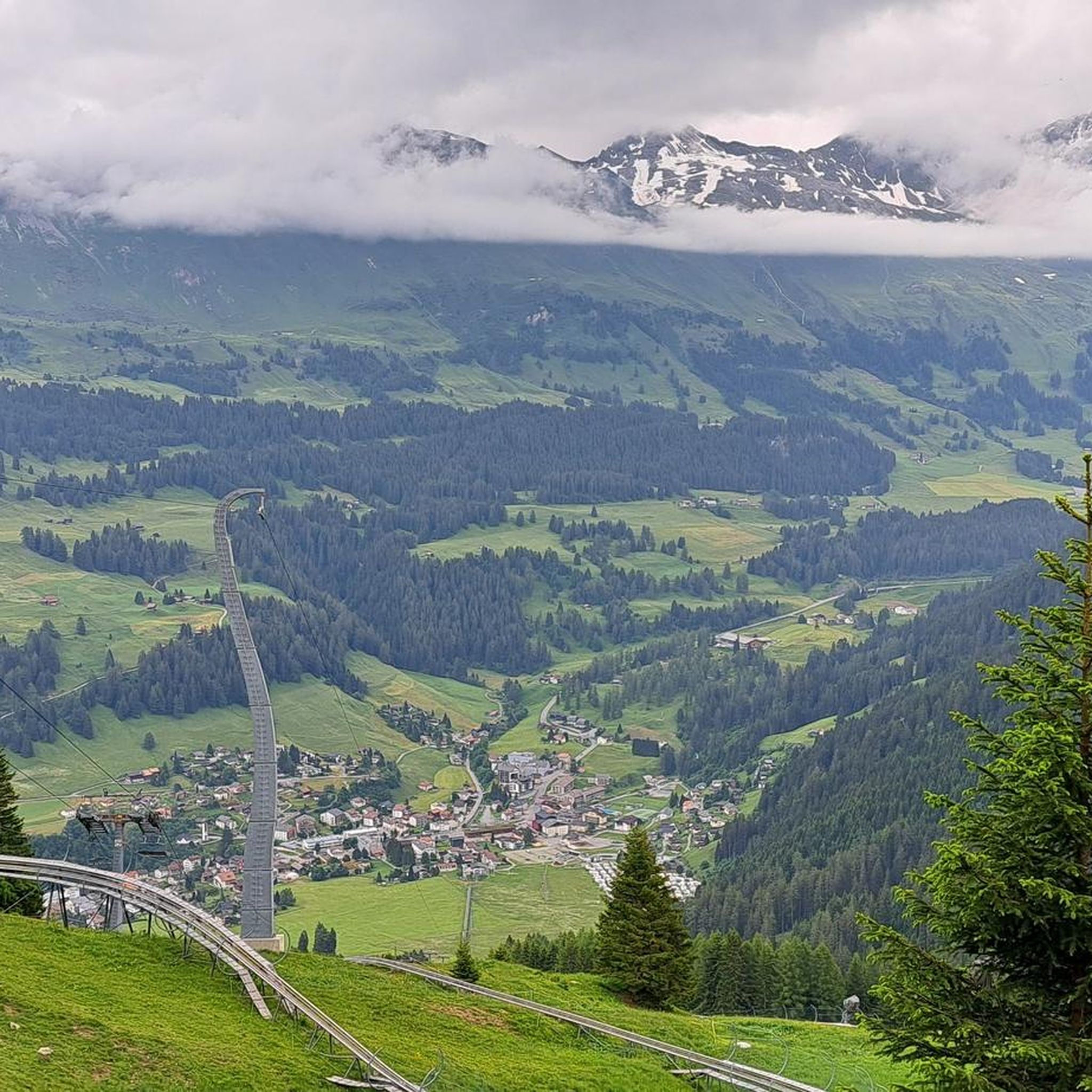
Cycling around Churwalden
Gravel biking around Churwalden
Running Trails around Churwalden
Other adventures around Churwalden

Tips from the Community


nice connection from Dark side of the Moon to Alplisee
0
0

Highly recommended: Hörnlihütte with regional products and friendly staff.
1
0

beautiful, crystal-clear mountain lake; you can also swim if you can stand the temperature
0
0

Beautiful local recreation area. Definitely worth a visit 😉.
0
0

Gredigs Fürggli is the name of this wide and scenic mountain pass between Arosa and Lenzerheide. The easiest way to reach it by mountain bike is via the Stivetta cable car. The Älplisee Trail down to Arosa begins at Gredigs Fürggli.
1
0

The snowshoe trail takes you through the deep snow of this magical winter wonderland.
0
0
Frequently Asked Questions
How many mountaineering routes are available around Churwalden?
Churwalden offers a selection of 5 distinct mountaineering routes. These trails vary in difficulty, providing options for both moderate and challenging alpine experiences.
Are there any easy mountaineering routes for beginners in Churwalden?
While most mountaineering routes around Churwalden are considered difficult, there is one moderate option available. The Dreibündenstein Monument – Furggabüel loop from Malix is a great choice, taking about 4 hours 5 minutes to complete and leading through the scenic Dreibündenstein area.
What are some challenging mountaineering routes for experienced climbers in Churwalden?
For experienced mountaineers seeking a challenge, Churwalden offers several difficult routes. Consider the Calanda Hut – Calanda Summit loop from Hintere Alp, an 8.1-mile trail ascending to the Calanda Summit with expansive alpine vistas. Another demanding option is the Parpaner Rothorn – Aroser Rothorn Summit loop from Arosa, which traverses high alpine terrain connecting two prominent summits.
Can I find circular mountaineering routes in Churwalden?
Yes, many of the mountaineering routes in Churwalden are designed as loops, allowing you to start and end in the same location. Examples include the Calanda Hut – Calanda Summit loop from Hintere Alp and the Dreibündenstein Monument – Furggabüel loop from Malix.
Which mountaineering routes offer the best panoramic views?
The region around Churwalden is renowned for its breathtaking views. Routes accessing prominent peaks like the Weisshorn and Parpaner Rothorn offer panoramic vistas. The Parpaner Rothorn – Gredigs Fürggli loop from Arosa is an excellent choice for extensive views across the Graubünden region, including Piz Beverin, the Sardona chain, and the Rhine Valley.
Are there any family-friendly outdoor activities or routes near Churwalden?
While dedicated mountaineering routes are generally more challenging, the broader Churwalden area offers family-friendly options. The Dreibündenstein area features a family-friendly route from Brambrüesch to Pradaschier with diverse alpine flora and barbecue spots. Additionally, the Pradaschier Adventure Mountain offers Switzerland's longest toboggan run, a zip line, and a rope park, providing fun for all ages.
What kind of natural features or landmarks can I expect to see along the routes?
Mountaineering routes around Churwalden showcase dramatic alpine scenery, including mountain peaks, serene lakes, and extensive trail networks. You might encounter highlights like the Gredigs Fürggli mountain pass or the picturesque Älplisee Trail. The region also offers views of significant ranges like Piz Beverin and the Sardona chain.
What do other mountaineers enjoy most about the routes in Churwalden?
The mountaineering routes in Churwalden are highly rated by the komoot community, with an average score of 5.0 stars. Reviewers often praise the challenging yet rewarding ascents, the extensive panoramic views of the Graubünden region, and the well-maintained trail networks that offer a true alpine experience.
Is public transport accessible for reaching mountaineering trailheads in Churwalden?
Churwalden is well-connected within the Graubünden region. Many trailheads, especially those near larger towns like Arosa, can be accessed via public transport, including post buses and cable cars that take you higher into the mountains, reducing initial ascent efforts.
Are there any hidden gems or unique natural sights to discover on the mountaineering routes?
Beyond the well-known peaks, the region holds unique natural beauty. For instance, the Yellow Lady's Slipper Orchids loop from Arosa offers a chance to discover rare alpine flora, providing a different kind of reward for your efforts.
What is the best time of year for mountaineering in Churwalden?
The best time for mountaineering in Churwalden is typically from late spring to early autumn (June to October), when trails are generally free of snow and weather conditions are more stable. However, conditions can change rapidly in the mountains, so always check local forecasts and trail status before heading out. Winter offers opportunities for snowshoeing and winter hiking, but dedicated mountaineering requires specialized equipment and expertise.
Most popular routes around Churwalden
Most popular attractions around Churwalden

Get inspired with the komoot mobile app


Explore more
Browse the best Mountain Hikes & Routes in other regions.
