The best MTB trails around Hüntingen
4.5
(336)
1,679
riders
130
rides
Mountain biking around Hüntingen offers a diverse landscape characterized by hilly topography, dense forest areas, and varied elevation changes. The region features a mix of gentle hills, steep climbs, and deep valleys, providing a range of terrain for mountain bikers. Trails often wind through extensive woodlands and offer scenic views, including potential glimpses of valleys and lakes. This varied environment supports routes suitable for different skill levels, from relaxed paths to technically challenging sections.
Best mountain bike trails around Hüntingen
…Last updated: July 5, 2026
4.5
(11)
59
riders
33.6km
02:58
520m
520m
Moderate mountain bike ride. Good fitness required. Suitable for all skill levels.
4.6
(24)
61
riders
41.2km
03:10
360m
360m
Moderate mountain bike ride. Good fitness required. Advanced riding skills necessary.

Sign up for free
5.0
(1)
12
riders
38.9km
03:45
910m
910m
Hard mountain bike ride. Very good fitness required. Advanced riding skills necessary.
12
riders
17.3km
01:34
340m
340m
Moderate mountain bike ride. Good fitness required. Suitable for all skill levels.
4.0
(3)
9
riders
14.9km
01:04
160m
160m
Easy mountain bike ride. Great for any fitness level. Suitable for all skill levels.
Get access to more routes and recommendations from other explorers.
Sign up for free
Already have an account?
Our route recommendations are based on thousands of hikes, rides, and runs completed by other people on komoot.
Start today with a free account
Your next adventure awaits.
Login or Signup
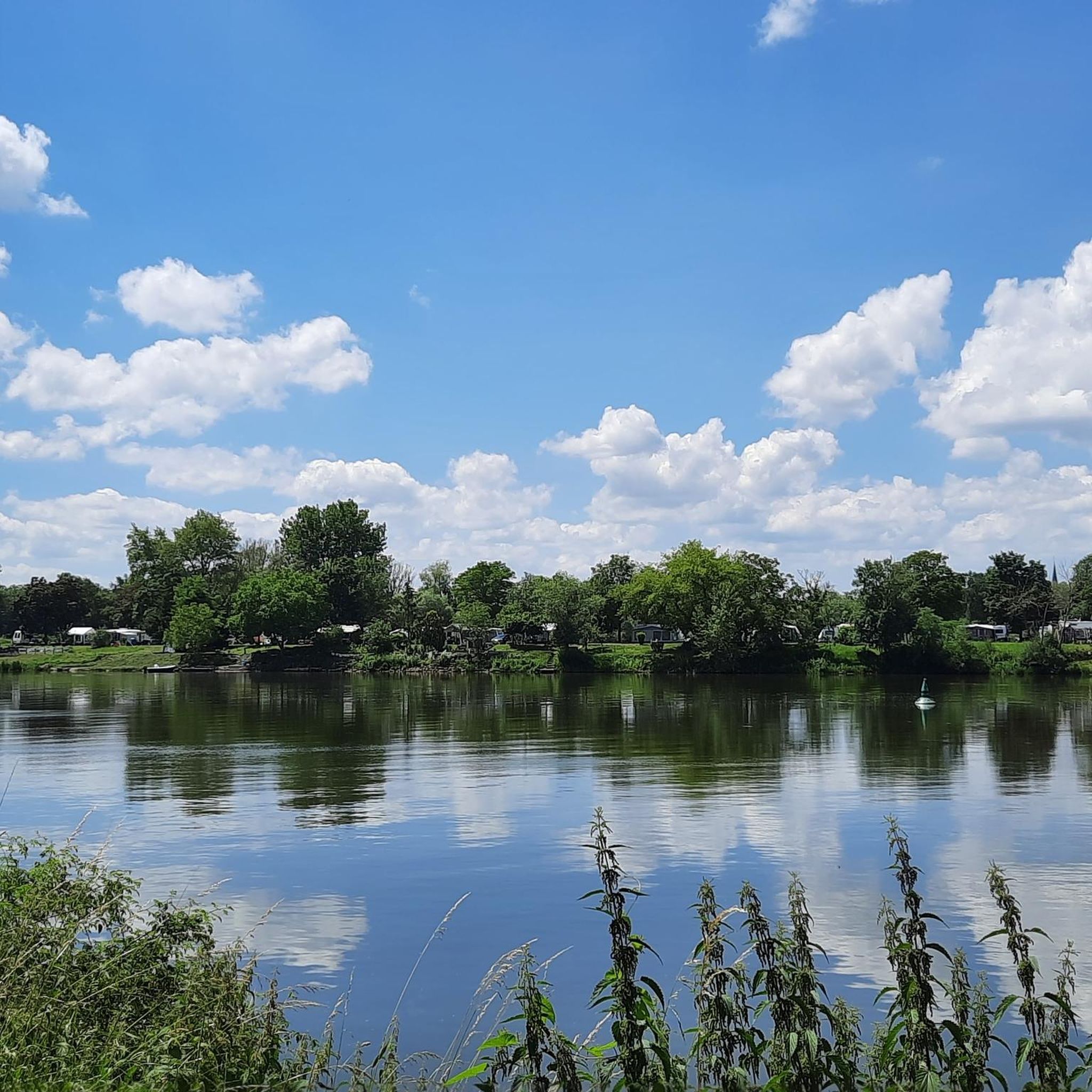
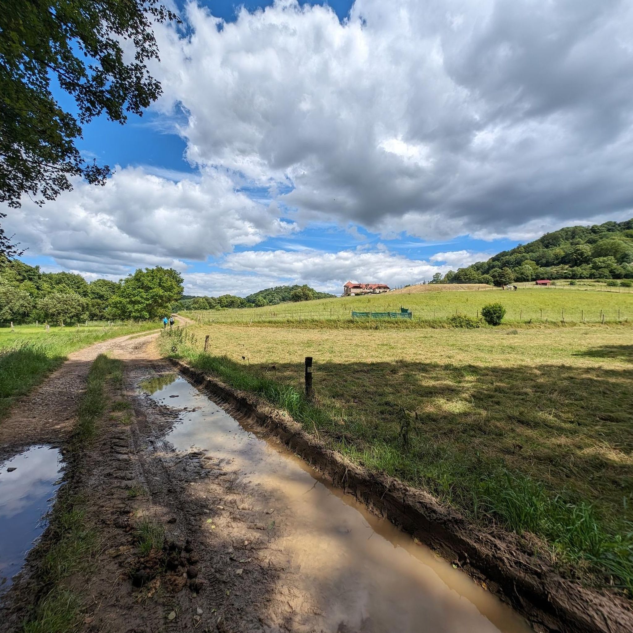
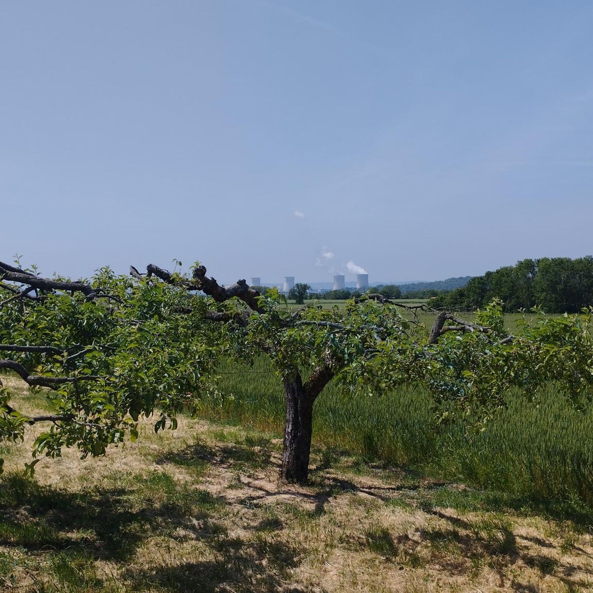

Tips from the Community

This is a spot with tracks going in all directions on old military trenches. There are transitions of all sizes and at least one small drop.
0
0

🛡️ **Ouvrage de Kobenbusch – Mighty Fortification of the Maginot Line** The **Ouvrage de Kobenbusch**, located south of Cattenom near the Luxembourg border, is one of the large underground fortifications of the **Maginot Line**. It was built between 1930 and 1935 and consisted of several combat blocks, underground connecting tunnels, a barracks, ammunition depots, and machine rooms – on several levels, anchored deep in the limestone. ⚙️ Particularly noteworthy: The technical systems were designed to be self-sufficient for months – including power generation, ventilation, a kitchen, and a hospital. The fort was occupied without a fight during World War II, continued to be used in part after the war, and is now privately owned. 🚷 It's **not open to the public**, but some ventilation towers and blockhouses are still visible in the forest near the D64 road (between Cattenom and Berg-sur-Moselle). **Tip:** For Maginot fans, a walk through the forest is worthwhile – with a little research, you'll find several bunker remains. Respect barriers, as some entrances are unstable or secured.
1
0
🛡️ **Ouvrage du Galgenberg – A Deep Look into the Maginot Line** The **Ouvrage de Galgenberg** is a large underground fortification of the **Maginot Line**, located south of Cattenom. It was built between 1930 and 1935 and served to defend the French border against Germany. The complex consists of several **combat bunkers**, **barracks**, **tunnels**, and **supply facilities** located deep underground. During the Cold War, the fort was modernized and remained in active use until the 1980s. 🔦 Today, it is accessible for guided tours (registration only), including a view of the original equipment: rails, power supply, ventilation systems, and gun emplacements. **Tip:** Ideal for military and history buffs – bring warm clothing, as it's chilly inside! Guided tours with former soldiers or experts are particularly impressive.
1
0
🚧 **Barrage du Lac du Mirgenbach – The Technical Heart of the Lake** At the southern end of **Lac du Mirgenbach** is the **dam (barrage)**, which serves to regulate the water and cool the nearby **Cattenom Nuclear Power Plant**. The facility is not open to the public, but is easily visible from the paths around the lake. 🌊 The dam marks the transition between technology and nature: Here, the water flows in controlled channels, creating an exciting interplay of industrial function and scenic tranquility. **Tip:** Those who walk the circular path around the lake have a good view of the dam from the eastern shore – particularly interesting for technology enthusiasts and landscape photographers.
3
0

The little country is always worth a trip ;-))
0
0

The climb over the steep serpentines demands a lot from you, but the view from above makes up for it👍.
0
0

Unfortunately they have dismantled the customs house at the Luxembourg end of the bridge. Something could have been done with that.
3
0

The bridge is a very special place in the border triangle of Germany, France and Luxembourg. It connects the Saarland town of Perl with Schengen in Luxembourg. Schengen is known for the agreement of the same name, which was signed here in 1985 and laid the foundation for open borders in Europe.🇪🇺 Among other things, the Europaplatz, a Europamuseum and a Europadenkmal are reminders of the historical importance of the place. Everything can be found very close to the bridge.
2
0
Frequently Asked Questions
How many mountain bike trails are available around Hüntingen?
There are over 130 mountain bike trails around Hüntingen, catering to various skill levels from easy to difficult. The region's diverse landscape, characterized by hilly topography and dense forests, provides a rich variety of routes.
What are the typical difficulty levels for mountain biking in Hüntingen?
Hüntingen offers a wide range of difficulty levels. You'll find easy flow trails, moderate routes with significant elevation gains, and technically challenging paths with steep climbs and rapid descents. For example, the Anhydrite descent – Chapel Climb loop from Kœnigsmacker is an easy option, while the Stromberg - Sierck-les-Bains – Stromberg Viewpoint loop from Malling is considered difficult due to its challenging climbs.
Are there any family-friendly mountain bike trails in Hüntingen?
Yes, Hüntingen offers several family-friendly mountain bike trails, particularly those categorized as 'easy'. These routes typically feature relaxed paths through idyllic forests, suitable for beginners or those looking for a less strenuous ride. While specific dog-friendly designations aren't always explicit, many forest paths are generally accessible for well-behaved dogs on a leash.
What kind of landscapes and viewpoints can I expect on the trails?
The trails in Hüntingen wind through diverse landscapes, including dense forests, hilly terrain, and scenic valleys. Many routes offer rewarding viewpoints, such as the Perl Three-Country View — Monument and Viewpoint, which provides impressive vistas. You might also encounter natural features like the Stromberg Limestone Cliffs.
What do other mountain bikers enjoy most about the trails in Hüntingen?
The mountain bike trails in Hüntingen are highly rated by the komoot community, with an average score of 4.6 stars from over 300 reviews. Riders frequently praise the diverse terrain, the scenic beauty of the forests and valleys, and the variety of routes available for all skill levels.
Are there circular mountain bike routes available?
Yes, many mountain bike routes around Hüntingen are designed as loops, allowing you to start and finish at the same point. An example is the Anhydrite descent – Path to Montzel loop from Malling, which is a moderate 20.9-mile circular trail.
What is the best time of year for mountain biking in Hüntingen?
The best times for mountain biking in the Hüntingen region are generally spring and autumn. During these seasons, the weather is typically mild, and the natural surroundings are vibrant, offering pleasant riding conditions and beautiful scenery. While some trails are accessible year-round, winter conditions might introduce challenges like snow or ice.
Are there any notable landmarks or attractions along the mountain bike trails?
Yes, several interesting landmarks and attractions can be found near or along the mountain bike trails. These include historical sites like the Old Tower of Château de Schengen and the Schengen European Museum and Border Monuments. Natural highlights like the Stromberg Limestone Cliffs also offer scenic stops.
Are there any trails that offer views of lakes or valleys?
Absolutely. The region's topography includes deep valleys and potential lake views. For instance, the Ouvrage du Kobenbusch – Lac du Mirgenbach loop from Malling offers views of Lac du Mirgenbach, providing a picturesque backdrop to your ride.
Are there options for advanced mountain bikers seeking a challenge?
Yes, advanced riders will find challenging routes in Hüntingen. The region features trails with significant elevation gains, steep climbs, and technically demanding sections. The Stromberg - Sierck-les-Bains – Stromberg Viewpoint loop from Malling is a difficult route known for its challenging climbs and rewarding viewpoints, ideal for experienced mountain bikers.
Are there places to eat or drink near the mountain bike trails?
While specific cafes or pubs directly on every trail are not listed, the towns and villages surrounding Hüntingen, such as Malling or Kœnigsmacker, offer various options for refreshments and meals. It's advisable to check local listings for establishments near your chosen starting point.
Most popular routes around Hüntingen
Most popular attractions around Hüntingen

Get inspired with the komoot mobile app


Explore more
Browse the best MTB trails in other regions.
