The best walks and hikes around Brassac
4.5
(639)
5,461
hikers
166
hikes
Hiking around Brassac offers diverse landscapes within the Haut-Languedoc Regional Natural Park, characterized by varied terrain. The village is situated on the Agout River, with trails following its banks and providing views of the water. Proximity to the Sidobre region introduces unique granite formations, while the Monts de Lacaune contribute to the area's natural environment. These features combine to create a range of hiking experiences.
Best hiking trails around Brassac
- The most popular hiking route is View of Foix loop…
Last updated: June 25, 2026
4.7
(7)
77
hikers
17.1km
07:19
1,070m
1,070m
Hard hike. Very good fitness required. Mostly accessible paths. Sure-footedness required.
4.7
(19)
62
hikers
6.96km
02:23
370m
370m
Moderate hike. Good fitness required. Easily-accessible paths. Suitable for all skill levels.

Sign up for free
4.7
(19)
64
hikers
8.97km
03:02
440m
440m
Moderate hike. Good fitness required. Easily-accessible paths. Suitable for all skill levels.
3.0
(3)
19
hikers
4.49km
01:24
170m
170m
Easy hike. Great for any fitness level. Easily-accessible paths. Suitable for all skill levels.
5.0
(2)
21
hikers
20.8km
08:02
1,220m
1,220m
Hard hike. Very good fitness required. Mostly accessible paths. Sure-footedness required.
Get access to more routes and recommendations from other explorers.
Sign up for free
Already have an account?
Our route recommendations are based on thousands of hikes, rides, and runs completed by other people on komoot.
Start today with a free account
Your next adventure awaits.
Login or Signup


Tips from the Community


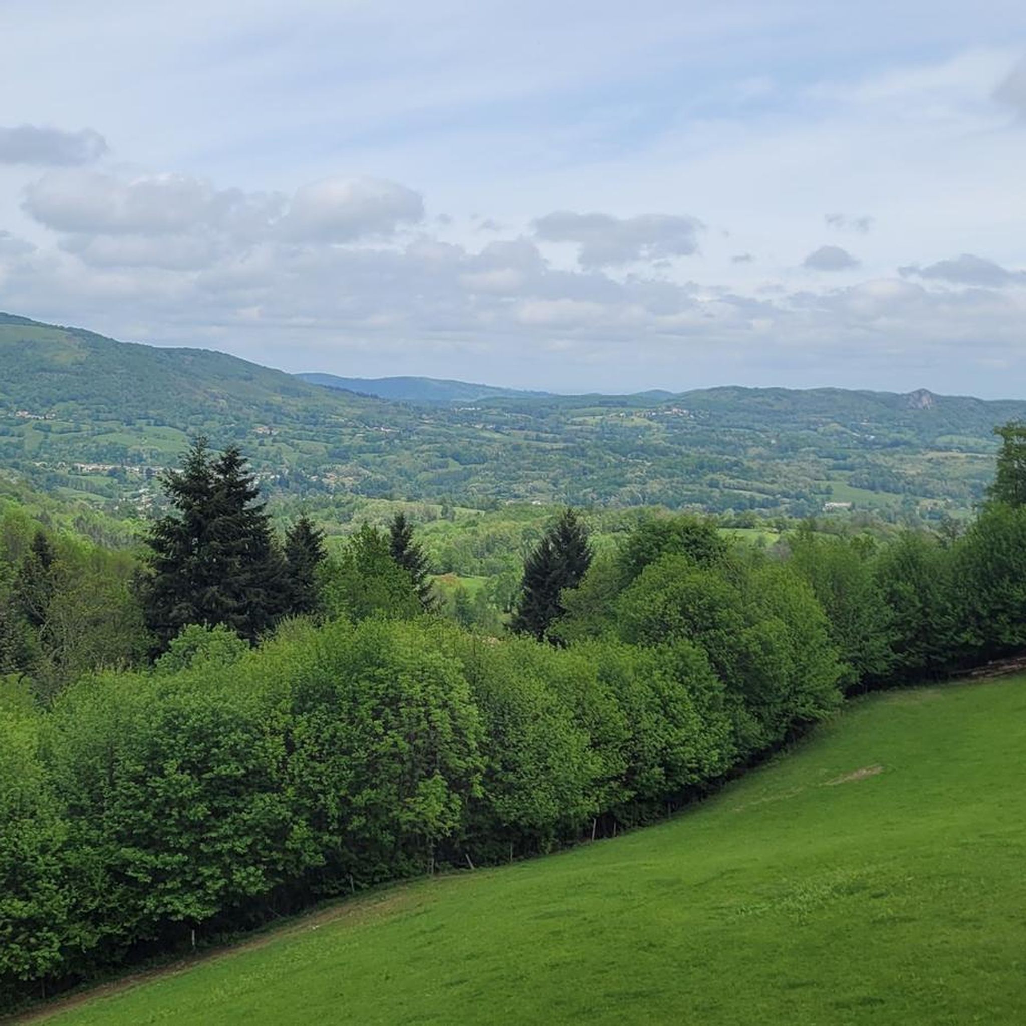
Very surprising, quite and beautiful area, didn't see cars in july for maaaany km, just cyclists.
0
0

A very pretty little pass, away from the traffic.
1
0

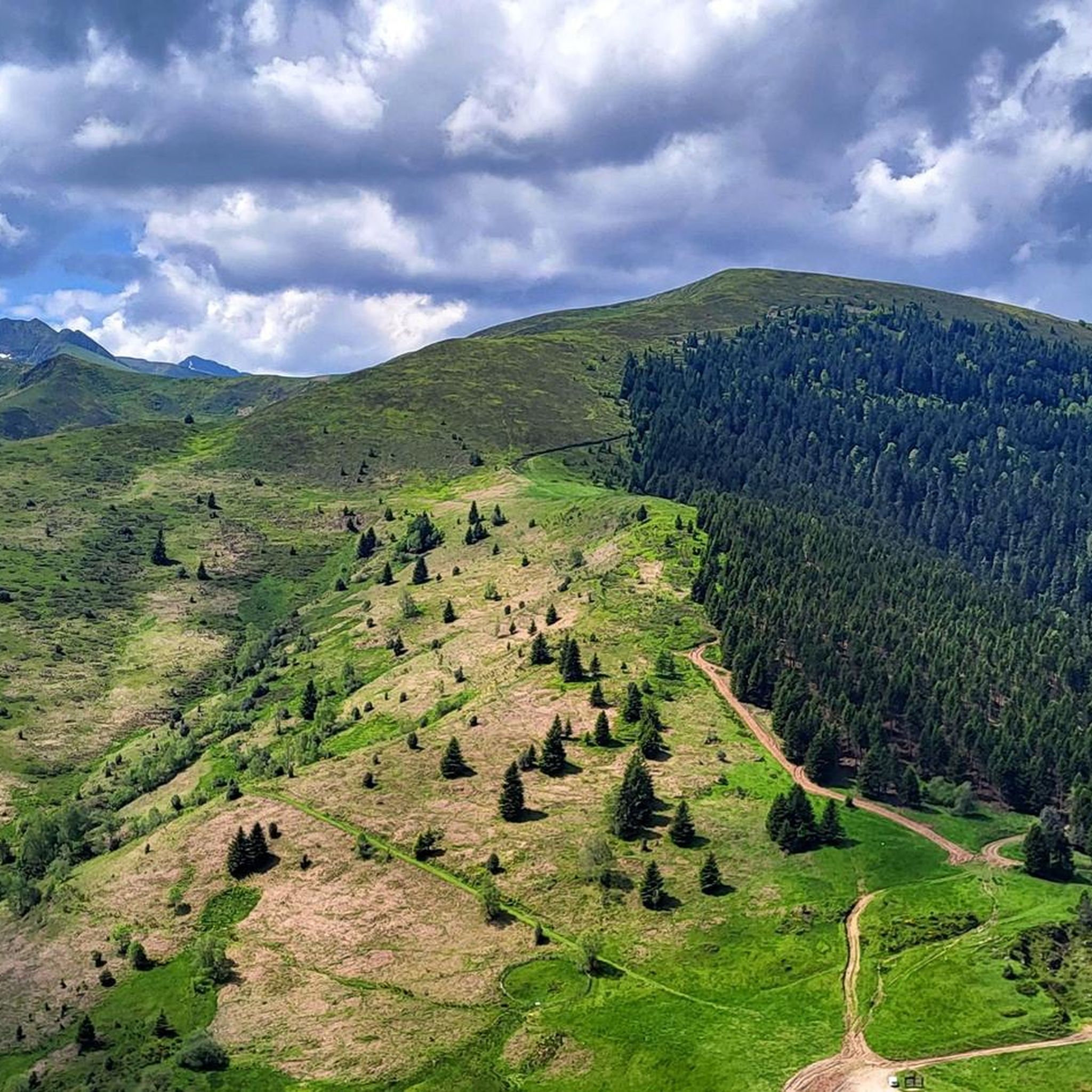
View of the local forests and valleys. Pleasant place to take a break, good energy, small cabin to protect yourself from the rain in case. Start of walks, and the forest path on which you can reach the Prat d'Albis hut, especially on gravel or mountain biking or on foot.
0
0

nice little calm and pleasant collar
0
0

Gateway to a forest road crossing the national forest of the Consulate of Foix. Tranquility, and a big breath of fresh air
1
0

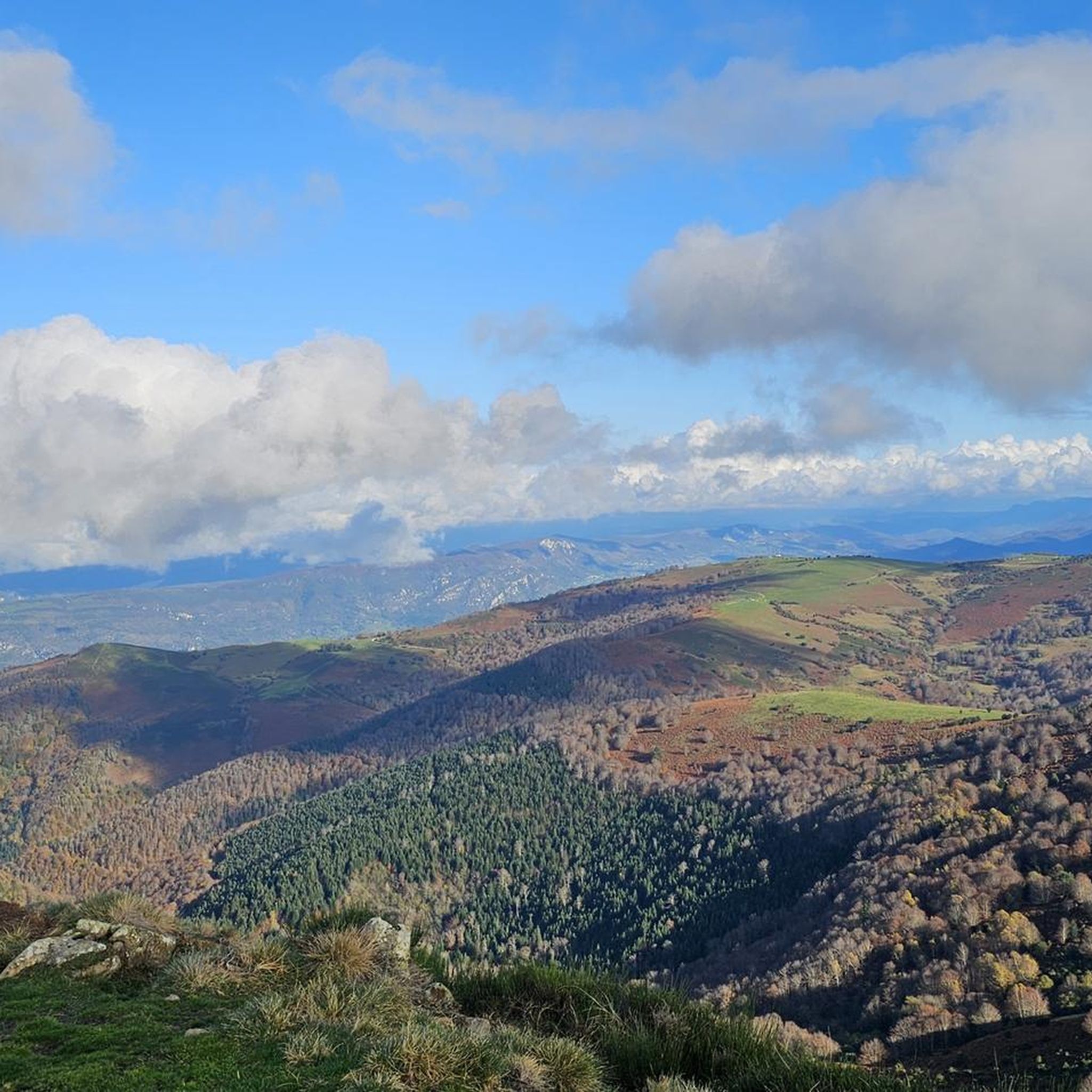
Here we were almost alone. It's actually amazing because you can hike really nicely here and sometimes find fantastic views.
0
0
Many abandoned buildings can be found here deep in the green. As a result, it has its very own bizarre aura and is definitely worth a hike. Even if it goes up and down a lot.
0
0
Frequently Asked Questions
How many hiking trails are available around Brassac?
There are over 170 hiking trails around Brassac, offering a wide range of options from easy strolls to more challenging treks. The area is well-suited for various fitness levels.
What kind of terrain can I expect on hikes in Brassac?
Hikes in Brassac feature diverse terrain, from the banks of the Agout River to the granite formations of the unique Sidobre region and the varied landscapes of the Haut-Languedoc Regional Natural Park. You'll find everything from gentle paths to more strenuous ascents in the Monts de Lacaune.
Are there family-friendly hiking options in Brassac?
Yes, Brassac offers trails suitable for families. For instance, the Hiking loop from Ganac is an easy 4.5 km route that can be completed in under two hours, perfect for a leisurely family outing.
Can I bring my dog on the hiking trails in Brassac?
Many trails in the Brassac area are dog-friendly, allowing you to explore the natural beauty with your canine companion. It's always recommended to keep dogs on a leash, especially within the Haut-Languedoc Regional Natural Park, to protect wildlife and ensure a pleasant experience for all hikers.
Are there any circular hiking routes around Brassac?
Yes, Brassac is known for its circular routes. A popular option is the Ruisseau de Bailles loop from Burret, a moderate 6.9 km path that takes you through tranquil forested areas. Another is the Col de Légrillou (938 m) – Ruisseau de Bailles loop from Burret, which offers a longer, moderate challenge.
What natural landmarks or viewpoints can I discover while hiking?
While hiking around Brassac, you can encounter several natural landmarks and enjoy panoramic views. Notable points include the Col de Légrillou (938 m) and the Panoramic View of the Ariège Pyrenees. The unique granite formations of the Sidobre region also offer distinct natural sights.
What historical sites or village features can I see on a hike in Brassac?
Several hiking routes allow you to explore the historic village of Brassac. You can discover its old quarters, walk along the banks of the Agout River, and see landmarks like the 12th-century Old Bridge of Brassac, which is classified as a Historic Monument. A local tourist trail highlights ten remarkable sites within the village, including two castles.
Is there public transport access to hiking trailheads in Brassac?
While Brassac is accessible, public transport options directly to specific trailheads can be limited. It's often best to plan your journey by car to reach the starting points of many hikes. For detailed information on local transport, it's advisable to check with the Brassac tourist office upon arrival.
Where can I find parking for hiking trails in Brassac?
Parking is generally available within Brassac village, which serves as a starting point for many local trails. For routes beginning outside the village, such as those from Burret or Ganac, designated parking areas are typically available near the trailheads. Always check local signage for specific parking regulations.
What is the best time of year to go hiking in Brassac?
The spring and autumn months generally offer the most pleasant conditions for hiking in Brassac, with mild temperatures and vibrant natural scenery. Summer can be warm, especially at lower elevations, while winter hikes might be possible but require checking weather conditions, particularly in higher areas of the Monts de Lacaune.
Are there any unique geological features to explore in the Brassac area?
Yes, Brassac is located at the crossroads of the Sidobre, a unique geological area renowned for its distinctive granite formations. Exploring the 'Sidobre, a granit island' offers a truly unique landscape experience, different from the typical mountain or river trails.
What do other hikers say about the trails in Brassac?
The hiking trails in Brassac are highly rated by the komoot community, with an average score of 4.5 stars from over 570 reviews. Hikers often praise the diverse landscapes, the tranquility of routes like the Ruisseau de Bailles loop from Burret, and the expansive views found on more challenging treks such as View of Foix loop from Ganac.
Can I find places to eat or stay near the hiking trails in Brassac?
Brassac village itself offers amenities including cafes and accommodation options. After a hike, you can find places to refresh and refuel. For more information on local services, you can visit the official tourism website for the region: tourisme-tarn.com.
Most popular attractions around Brassac

Get inspired with the komoot mobile app


Explore more
Browse the best Hikes in other regions.
