The best running trails around Esplas-De-Sérou
4.3
(20)
466
runners
46
runs
Jogging around Esplas-De-Sérou offers access to a diverse landscape within the Pyrénées Ariégeoises Regional Natural Park. The region features rolling valleys, extensive coniferous and deciduous forests, and varied ecosystems including grasslands and meadows. Routes often provide panoramic views of the Pyrenees and include paths along the Arize River.
Best jogging routes around Esplas-De-Sérou
- The most popular jogging route is Le Pouech loop from Castelnau-Durban, a 11.1 miles (17.8 km) trail that takes 2 hours 19 minutes to complete. This…
Last updated: July 3, 2026
5.0
(1)
101
runners
17.6km
02:18
560m
560m
Hard run. Very good fitness required. Mostly paved surfaces. Suitable for all skill levels.
3.0
(1)
46
runners
8.59km
01:06
260m
260m
Moderate run. Good fitness required. Mostly paved surfaces. Suitable for all skill levels.

Sign up for free
4
runners
14.9km
01:58
550m
550m
Hard run. Very good fitness required. Mostly paved surfaces. Suitable for all skill levels.
6
runners
9.80km
01:14
450m
450m
Hard run. Very good fitness required. Mostly paved surfaces. Suitable for all skill levels.
7
runners
5.84km
00:50
260m
260m
Moderate run. Good fitness required. Mostly paved surfaces. Suitable for all skill levels.
Get access to more routes and recommendations from other explorers.
Sign up for free
Already have an account?
Our route recommendations are based on thousands of hikes, rides, and runs completed by other people on komoot.
Start today with a free account
Your next adventure awaits.
Login or Signup

Tips from the Community

I climbed it from its easier side, the one that starts from Foix and stretches for 28 kms, crossing the Col de Marrous. It's a steady climb, with a few tough kilometers, and very pleasant. It's the side used by the Tour de France to descend it. The best thing about the Mur de Peguère are the views from its summit.
0
0


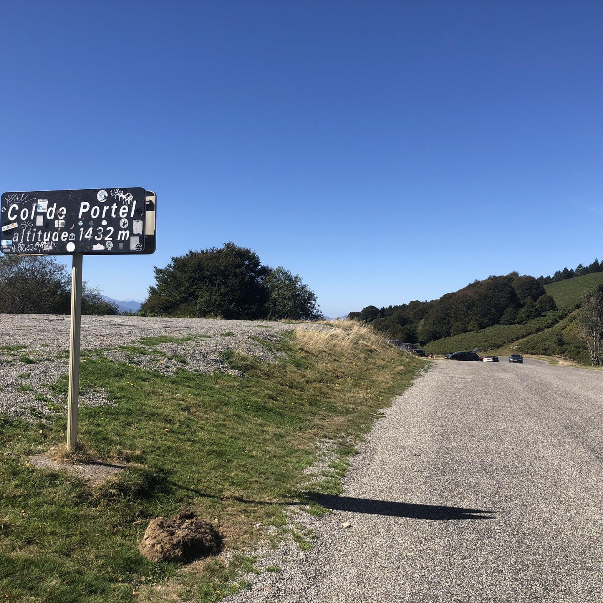
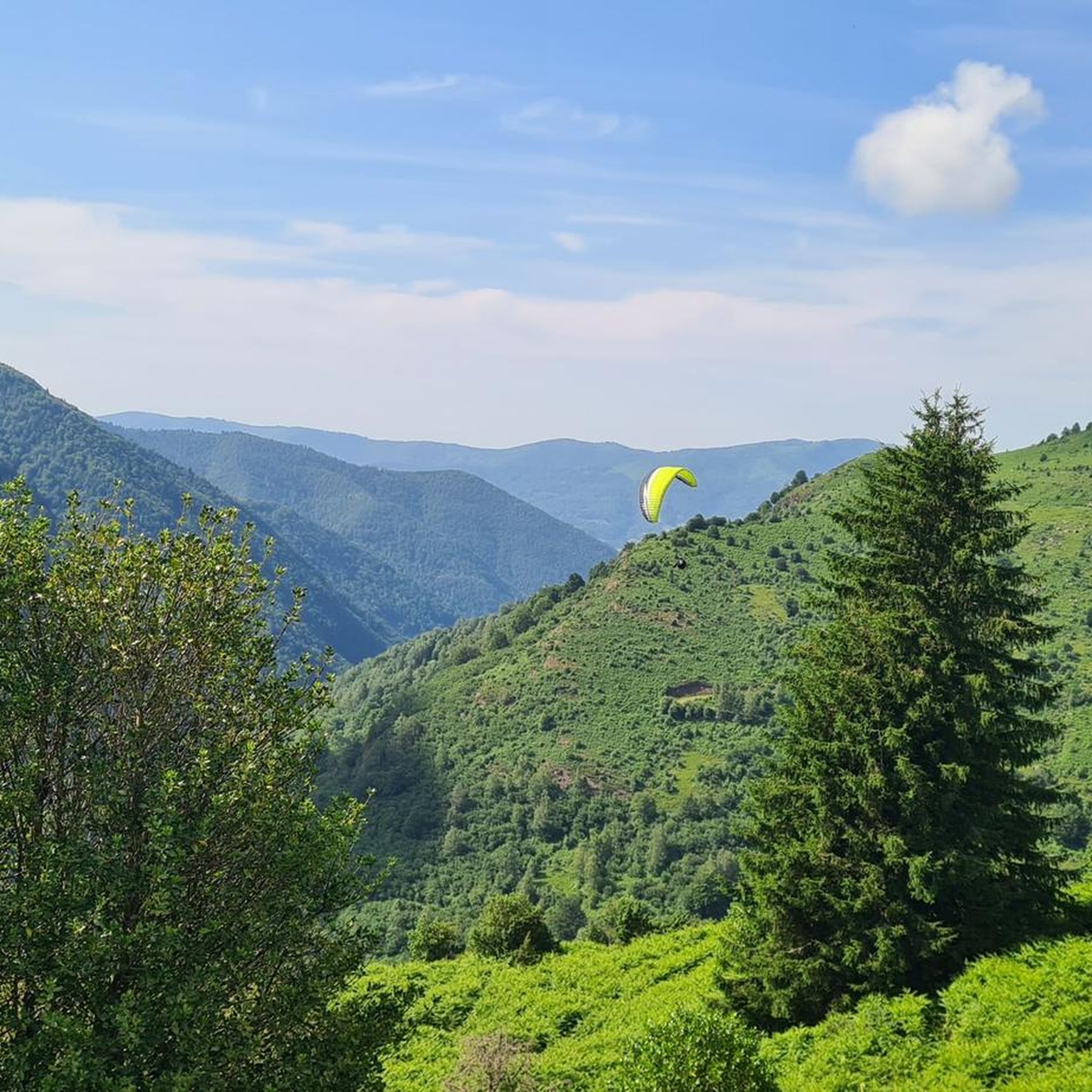
Magnificent site with a 360° panorama of the cross-border chain and valleys.
0
0

The Col de Péguère, called Mur de Péguère since the Tour de France, is a Pyrenean road pass in the Arize massif, located on the border of the municipal territories of Boussenac and Sentenac-de-Sérou, in Ariège.
0
0

With 18% in the climb in places, the road to the Col de Péguère lives up to its nickname of wall. It's a real challenge, even for experienced cyclists. In the end, the reward is there: splendid views of the mountains.
2
0

Magnificent panorama from a summit of Cap du Carmil
0
0
Magnificent panorama from a very accessible summit via the Col de Péguère.
0
0

Small family hike with a slope with a regular drop. Only the last 200 meters can seem a little hard. This can be done with a snowshoe. With clear weather, it offers a magnificent panorama of the 3 lords and Mont Vallier
0
0
Frequently Asked Questions
How many running routes are available around Esplas-De-Sérou?
There are over 50 dedicated running routes around Esplas-De-Sérou listed on komoot, offering a wide variety of options for different fitness levels and preferences.
What kind of terrain can I expect on running trails in Esplas-De-Sérou?
The running trails in Esplas-De-Sérou offer a diverse landscape, including rolling valleys, extensive coniferous and deciduous forests, and varied ecosystems like grasslands and meadows. You can also find paths along the Arize River and routes with panoramic views of the Pyrenees.
Are there running routes suitable for beginners in Esplas-De-Sérou?
Yes, Esplas-De-Sérou offers some easier running options. There is at least one route classified as easy, and many of the 32 moderate routes can also be suitable for runners looking for less challenging terrain.
What are the options for more challenging trail runs with significant elevation?
For those seeking a challenge, there are 19 difficult running routes around Esplas-De-Sérou. An example is Le Pouech loop from Castelnau-Durban, which is 11.1 miles (17.8 km) long with over 560 meters of elevation gain, offering expansive views of the natural park.
When is the best time of year to go running in the Esplas-De-Sérou area?
The Pyrénées Ariégeoises Regional Natural Park, where Esplas-De-Sérou is located, offers a beautiful setting for running throughout much of the year. Spring and autumn generally provide pleasant temperatures and vibrant scenery. Summer can be warm, so early morning or late afternoon runs are often preferred. Winter running is possible, but some higher elevation trails might be affected by snow or ice.
Are there any circular running routes in Esplas-De-Sérou?
Yes, many of the running routes in the area are circular, allowing you to start and finish at the same point. For instance, the Running loop from Durban-sur-Arize is a moderate 5.4-mile (8.6 km) path that navigates through varied terrain in a loop.
Can I bring my dog on the running trails around Esplas-De-Sérou?
While many trails in natural parks are dog-friendly, it's always recommended to keep your dog on a leash, especially within the Pyrénées Ariégeoises Regional Natural Park, to protect local wildlife and ensure the safety of other trail users. Always check specific trail regulations before heading out.
What natural features or landmarks can I see while running?
The region is rich in natural beauty. You might encounter mountain passes like Col de la Crouzette (1245 m) or Péguère Pass. The Lac de Mondély is another scenic natural monument that adds to the aesthetic appeal of a run. The trails often provide panoramic views of the Pyrenees.
Are there running routes that pass by water features like lakes or rivers?
Yes, some routes in Esplas-De-Sérou include paths along the Arize River, offering pleasant riverside running. Additionally, the scenic Lac de Mondély is a notable natural monument in the area, which you might find near some running trails.
Is parking available near the trailheads for running routes?
While specific parking details for every trailhead are not always listed, most villages and popular starting points for outdoor activities in the Pyrénées Ariégeoises Regional Natural Park typically offer designated parking areas. It's advisable to check local signage upon arrival.
What do other runners enjoy most about jogging in Esplas-De-Sérou?
The running routes in Esplas-De-Sérou are highly rated by the komoot community, with an average score of 4.4 stars from over 16 reviews. Runners often praise the diverse landscapes, the tranquil and wild nature, and the varied terrain that offers both challenging climbs and scenic forest paths.
Are there any running routes that offer views of historical sites or unique geological formations?
Beyond natural beauty, you might find routes that offer glimpses of the region's unique features. For example, the Grotte du Mas-d'Azil is a significant natural monument nearby, and the Souribet Terraces are a historical site that could be explored in conjunction with a run.
Can I find running routes that are part of a larger trail network?
Esplas-De-Sérou is situated within the Pyrénées Ariégeoises Regional Natural Park, which boasts an extensive trail network. The nearby Couserans area also emphasizes trail running with marked trails, indicating that many local running routes are integrated into a broader system of paths suitable for various outdoor activities. For more information on trail running in the wider Couserans region, you can visit tourisme-couserans-pyrenees.com.
Most popular routes around Esplas-De-Sérou
Most popular attractions around Esplas-De-Sérou

Get inspired with the komoot mobile app


Explore more
Browse the best Running Trails & Routes in other regions.
