The best mountain hikes around Erlenbach im Simmental
4.9
(58)
546
hikers
24
hikes
Mountaineering routes around Erlenbach im Simmental are set within the Bernese Oberland of Switzerland, characterized by prominent peaks like Stockhorn (2,190 meters) and Gantrisch (2,176 meters). The region features the Simme Valley, numerous mountain lakes, and offers significant elevation gains, with some routes reaching over 1,500 meters of ascent. This landscape provides diverse terrain for alpine activities, from challenging ascents to scenic paths with panoramic views.
Best mountaineering routes around Erlenbach im Simmental
- The most popular mountaineering route is Brothüsiweg…
Last updated: October 9, 2026
4.7
(16)
131
hikers
7.81km
04:08
730m
730m
Hard mountaineering route. Good fitness required. Sure-footedness, sturdy shoes and alpine experience required.
20
hikers
14.2km
05:47
980m
990m
Hard mountaineering route. Very good fitness required. Mostly accessible paths. Sure-footedness required.

4.5
(2)
12
hikers
8.68km
04:25
790m
790m
Hard mountaineering route. Good fitness required. Sure-footedness, sturdy shoes and alpine experience required.
5.0
(2)
12
hikers
17.5km
08:14
1,560m
1,560m
Hard mountaineering route. Very good fitness required. Sure-footedness, sturdy shoes and alpine experience required.
5.0
(2)
9
hikers
14.3km
06:46
1,190m
1,190m
Hard mountaineering route. Very good fitness required. Sure-footedness, sturdy shoes and alpine experience required.
Get access to more routes and recommendations from other explorers.
Already have an account?
Our route recommendations are based on thousands of hikes, rides, and runs completed by other people on komoot.
Start today with a free account
Your next adventure awaits.
Popular around Erlenbach im Simmental
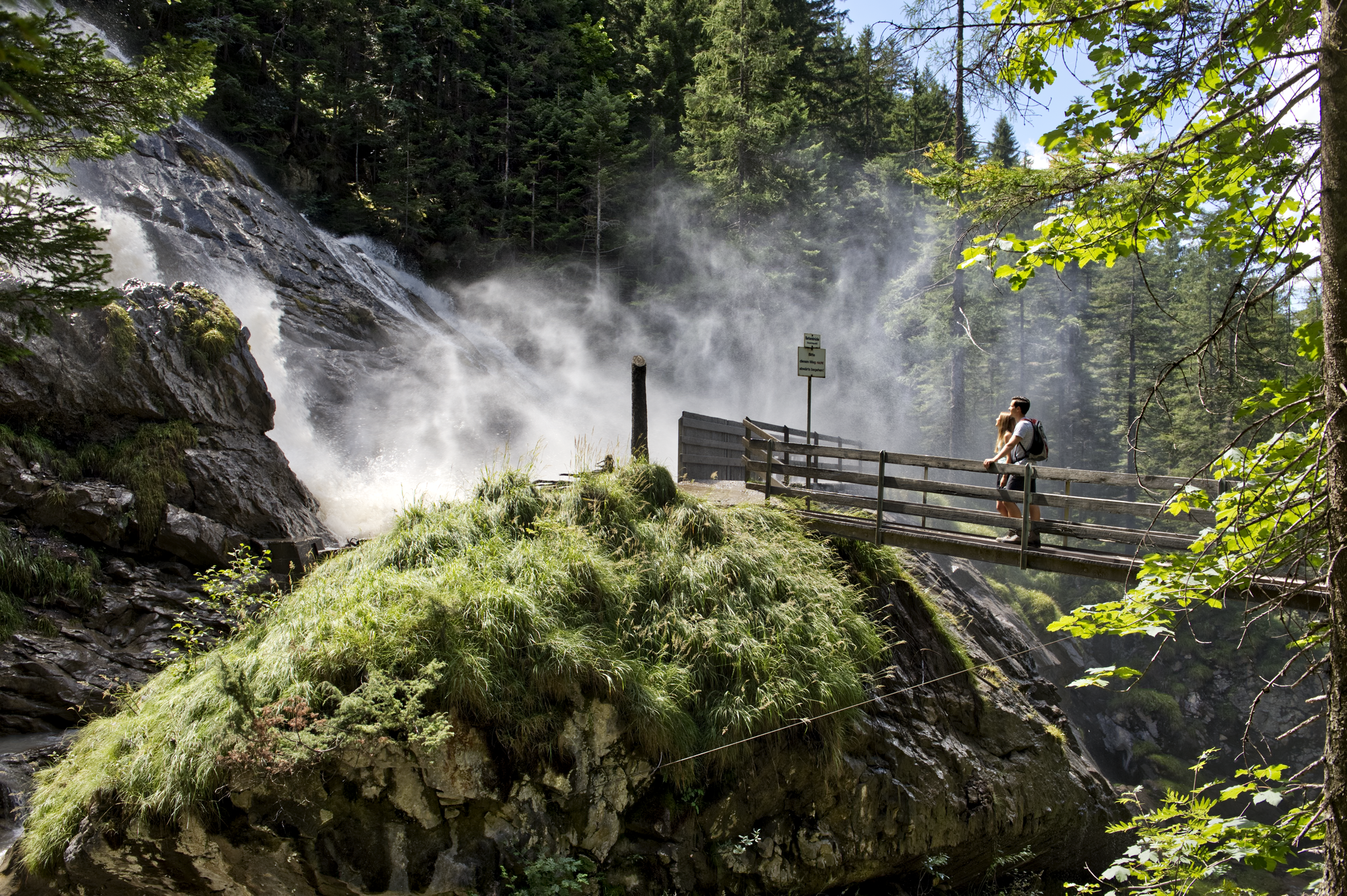
Coolcation instead of the heat in Lenk-Simmental
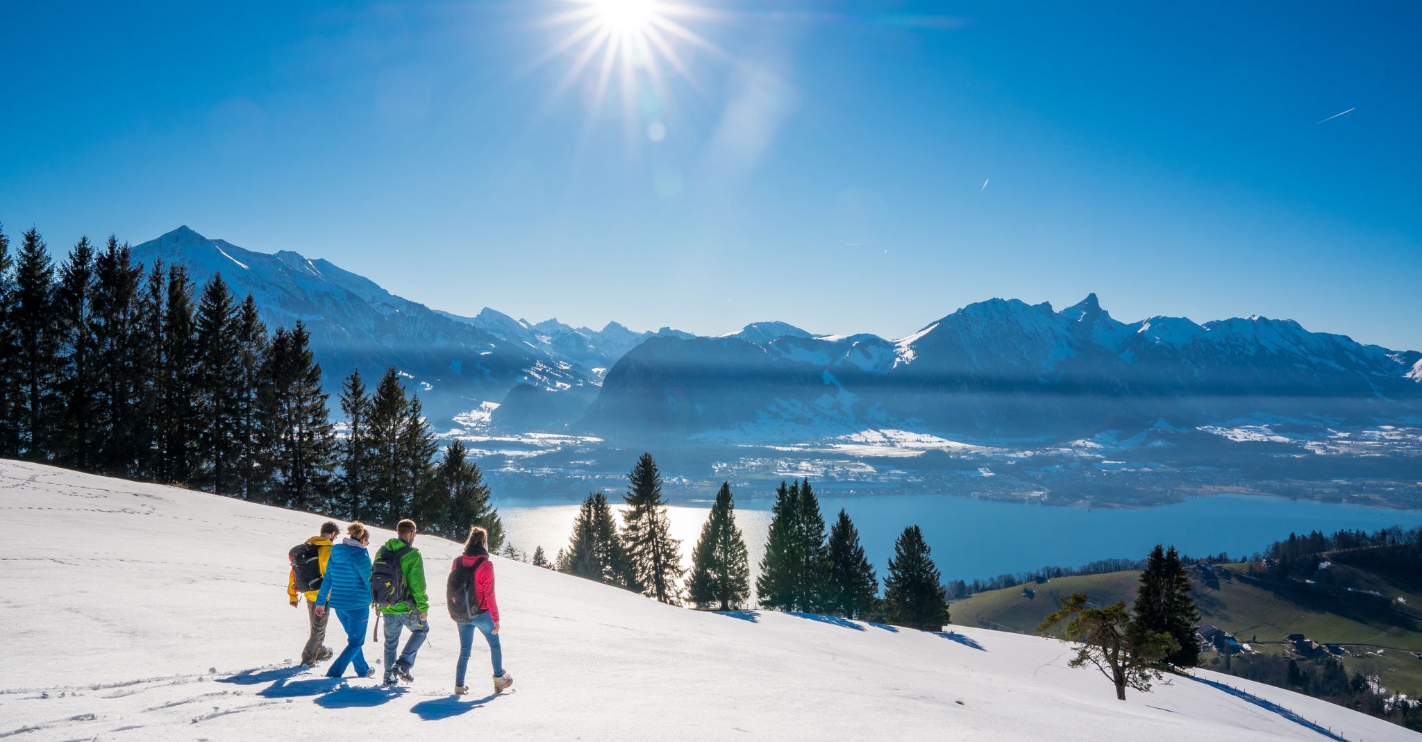
Let it snow! Winter hikes in the Bernese Oberland
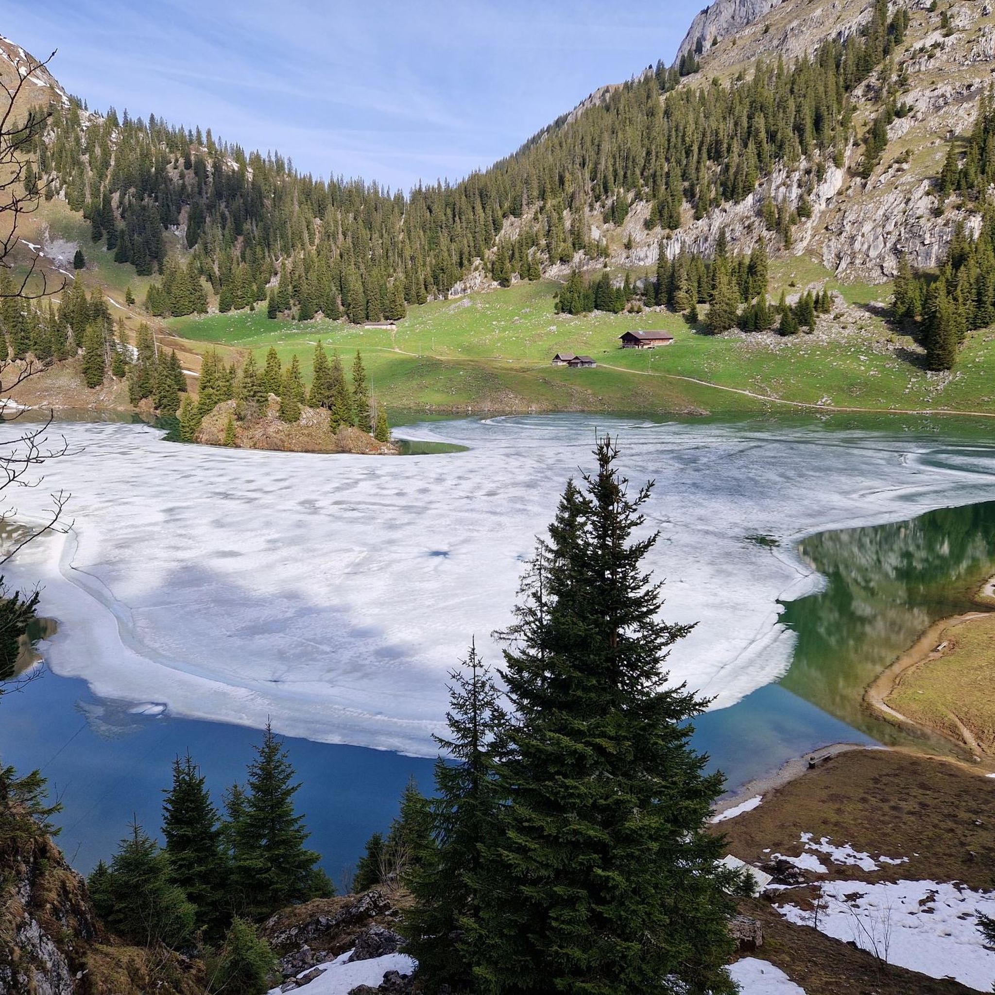
Hiking around Erlenbach im Simmental
Road Cycling Routes around Erlenbach im Simmental
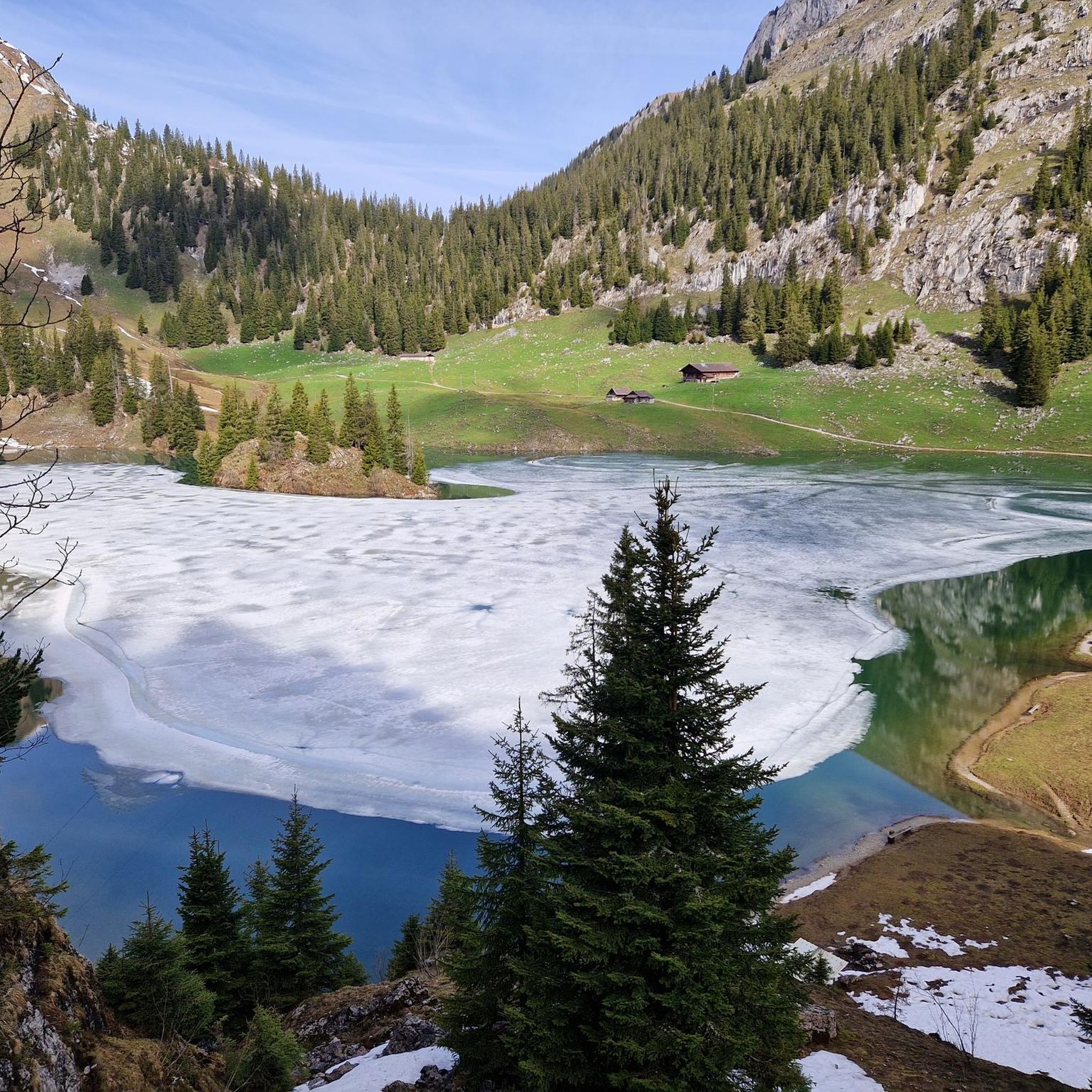
MTB Trails around Erlenbach im Simmental
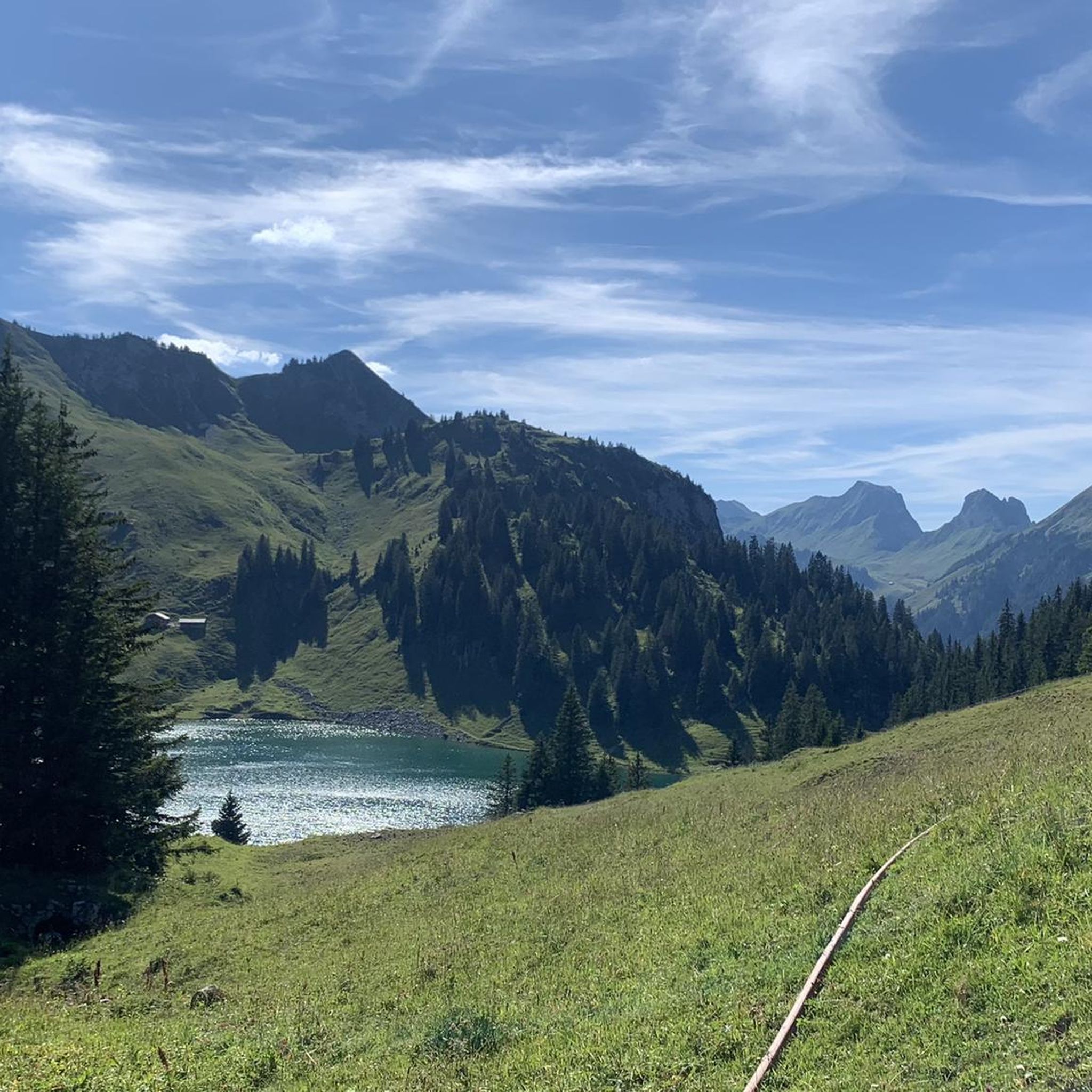
Running Trails around Erlenbach im Simmental
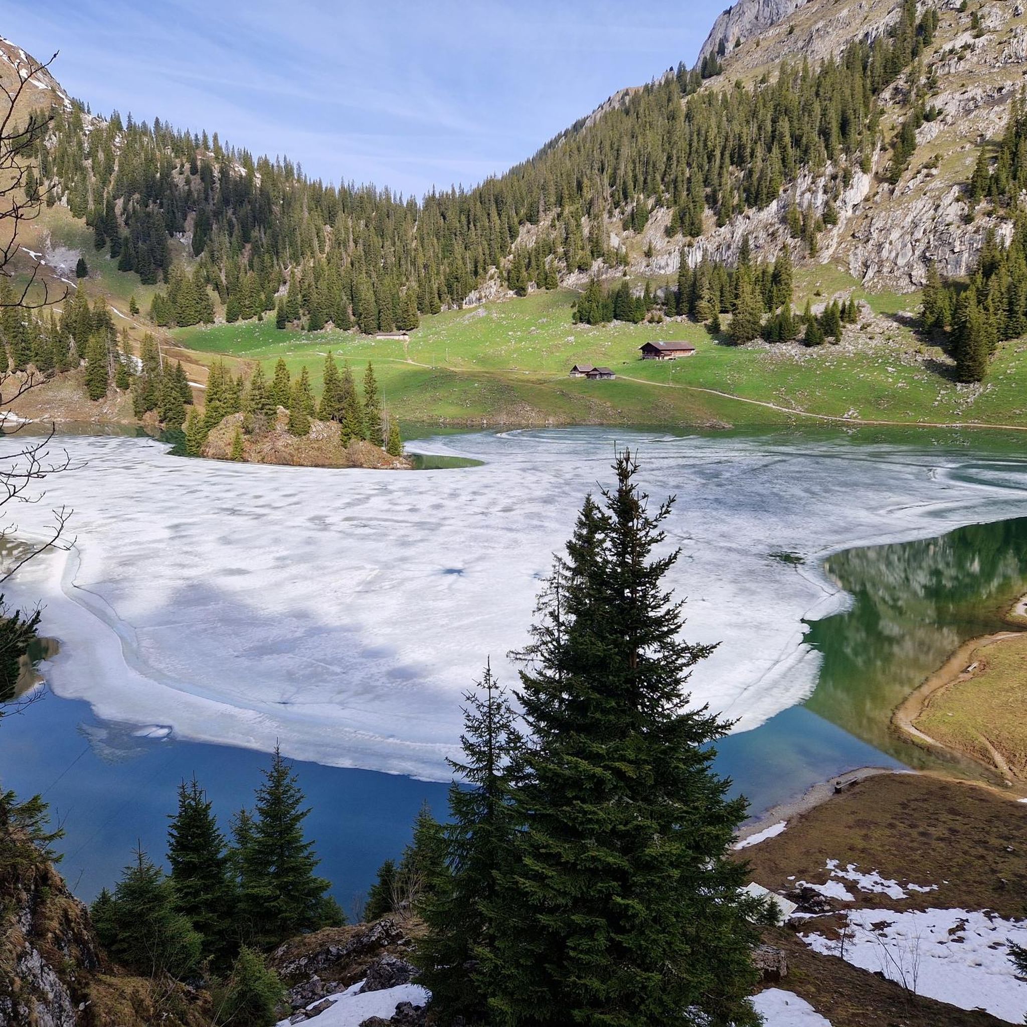
Cycling around Erlenbach im Simmental
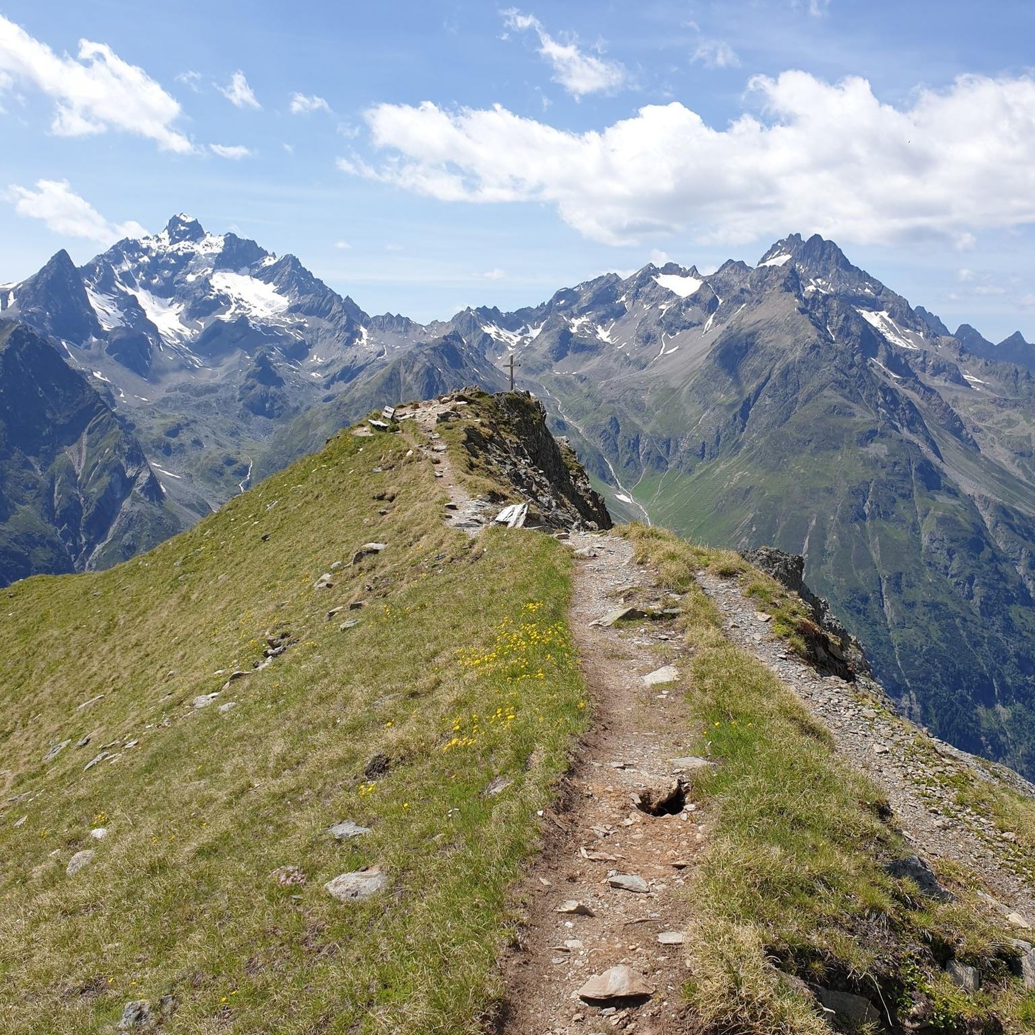
Gravel biking around Erlenbach im Simmental
Other adventures around Erlenbach im Simmental


Tips from the Community

The water was not ice-cold as expected after the record summer. A few people were swimming. There are many small fish in the lake.
0
0

Great after-work hike, but I would recommend a helmet as rockfalls from wildlife or other hikers cannot be ruled out.
0
0

It's called Chatz u Muus (Cat and Mouse). That's because, from the Gürbe Valley, it looks as if a cat (Chatz) and a mouse (Muus) are sitting opposite each other. 🐁_🐈⬛
1
0

Great ascent aid for snowshoe hikes🥰
1
0

🌊 Oberstockensee – A mountain lake straight out of a picture book 🏔️✨ Oberstockensee is idyllically situated at around 1,650 m altitude, nestled in the impressive mountain world of the Stockhorn. It is a true natural jewel and perfect for a relaxing break in the Alps. 🥾 Accessibility: Start from the Chrindi middle station 🚡 🌟 Highlights: Crystal-clear water – ideal for cooling off on hot days ❄️ Reflecting mountain scenery – perfect for photos 📸 Fishing allowed – a paradise for anglers 🎣
1
0
🚡 Chrindi middle station - the gateway to adventure on the Stockhorn 🏔️✨ The Chrindi middle station is the perfect starting point for unforgettable experiences around the Stockhorn: 🌊 Hinterstockensee: Can be reached in just a few minutes - ideal for swimming, fishing or simply relaxing by the water. 🥾 Hiking paradise: Start varied hikes here with breathtaking views of the Simmental and the Bernese Alps. 🚠 Onward journey: Take the Stockhorn cable car to the summit station for a 360° panorama.
0
1

From this point (1.300 metres above sea level) you get a spectacular view over the valley.
0
0

Beautiful alpine pasture with restaurant. Closed in winter, however
11
1
Frequently Asked Questions
What kind of mountaineering routes can I expect around Erlenbach im Simmental?
The Erlenbach im Simmental region offers a diverse range of mountaineering routes, characterized by prominent peaks like Stockhorn and Gantrisch, the scenic Simme Valley, and numerous mountain lakes. You'll find paths with significant elevation gains, some exceeding 1,500 meters, providing varied terrain for alpine activities from challenging ascents to scenic paths with panoramic views. The routes are generally rated as moderate to difficult, requiring good fitness and sure-footedness.
Are there any routes suitable for beginners or those looking for a less strenuous experience?
While many routes in the area are rated as difficult, there are options that cater to varying skill levels. For those seeking a challenging but rewarding experience, the region offers routes like the Brothüsiweg Covered Bridge – Adlerhorst (1960 m) loop from Wimmis, which is a difficult 4.6-mile (7.3 km) trail. It's always recommended to check the specific route details for elevation gain and terrain to match your fitness level.
What are some of the more extensive mountaineering routes for experienced hikers?
For experienced mountaineers looking for longer, more demanding adventures, the region provides several excellent options. Consider the Stockhorn Viewing Platform loop from Erlenbach, a difficult 10.5-mile (16.9 km) route with over 1,500 meters of ascent. Another challenging option is the Wiriehorn – Gurbssattel loop from Nüegg, a difficult 7.5-mile (12.1 km) path traversing varied mountain terrain and alpine saddles.
Are there any circular mountaineering routes in the area?
Yes, many of the mountaineering routes around Erlenbach im Simmental are designed as loops, allowing you to start and end at the same point. Examples include the Mäggiserehore loop from Amtsbezirk Niedersimmental, an 8.5-mile (13.7 km) trail, and the Brothüsiweg Covered Bridge – Adlerhorst (1960 m) loop from Wimmis. These circular routes offer diverse scenery without retracing your steps.
What can I see or visit along the mountaineering routes in Erlenbach im Simmental?
The routes offer stunning panoramic views of over 200 Alpine peaks, Lake Thun, and the Aare and Gürbe valleys. You might encounter idyllic mountain lakes, especially near the Stockhorn middle station. For specific points of interest, consider visiting the Leitere Pass or the Alp Obernünenen, which are popular highlights in the region.
When is the best time of year to go mountaineering in Erlenbach im Simmental?
The best time for mountaineering typically spans from late spring to early autumn when the trails are clear of snow and weather conditions are generally stable. However, the region also offers winter activities like snowshoeing and ski touring on signposted trails, transforming into a different kind of adventure during the colder months.
Are there places to eat or rest along the mountaineering routes?
Yes, many hiking trails in the region lead past mountain guesthouses and huts where you can stop for refreshments or a meal. Notable options include the Oberstockenalp Mountain Inn and the Stierenberghütte, providing convenient resting points during your mountaineering adventure.
What do other mountaineers enjoy most about the routes in Erlenbach im Simmental?
The mountaineering routes in Erlenbach im Simmental are highly rated by the komoot community, with an average score of 4.9 stars from over 50 reviews. Mountaineers often praise the breathtaking panoramic views, the diverse and challenging terrain, and the opportunity to explore the largely untouched nature of the Simme Valley. The well-maintained trails and access to prominent peaks like Stockhorn are also frequently highlighted.
Are there any permits required for mountaineering in this region?
Generally, permits are not required for standard mountaineering and hiking routes in the Erlenbach im Simmental region. However, it's always advisable to check local regulations or specific requirements for any protected areas or private lands you might traverse. For general tourist information about the region, you can visit MySwitzerland.com.
Can I find routes that offer a mix of natural beauty and cultural insights?
Absolutely. While focusing on natural beauty, the region also offers glimpses into local culture. The Simme Valley, where Erlenbach is situated, is known for its alpine traditions, and the Simmental House Trail showcases traditional farmhouses. While specific mountaineering routes might not directly pass through cultural sites, the overall experience in the valley provides a rich blend of nature and heritage.
Are there any routes that lead to prominent peaks or viewpoints?
Many routes in the area offer access to stunning viewpoints. The Stockhorn mountain, at 2,190 meters, is a major draw, with a cable car providing easy access to its summit. The Stockhorn Viewing Platform loop from Erlenbach is a challenging mountaineering route that takes you towards this iconic peak, offering breathtaking views of over 200 Alpine peaks and surrounding valleys.
What kind of fitness level is required for mountaineering in Erlenbach im Simmental?
The mountaineering routes in Erlenbach im Simmental range from moderate to difficult. Most routes require good to very good fitness, sure-footedness, and sturdy shoes. Some ascents can involve significant elevation gains, so prior alpine experience is recommended for the more challenging trails. Always assess your physical condition and choose a route that matches your capabilities.
Most popular routes around Erlenbach im Simmental
Most popular attractions around Erlenbach im Simmental

Get inspired with the komoot mobile app


Explore more
Browse the best Mountain Hikes & Routes in other regions.
