The best mountain hikes around Nufenen
4.7
(14)
71
hikers
7
hikes
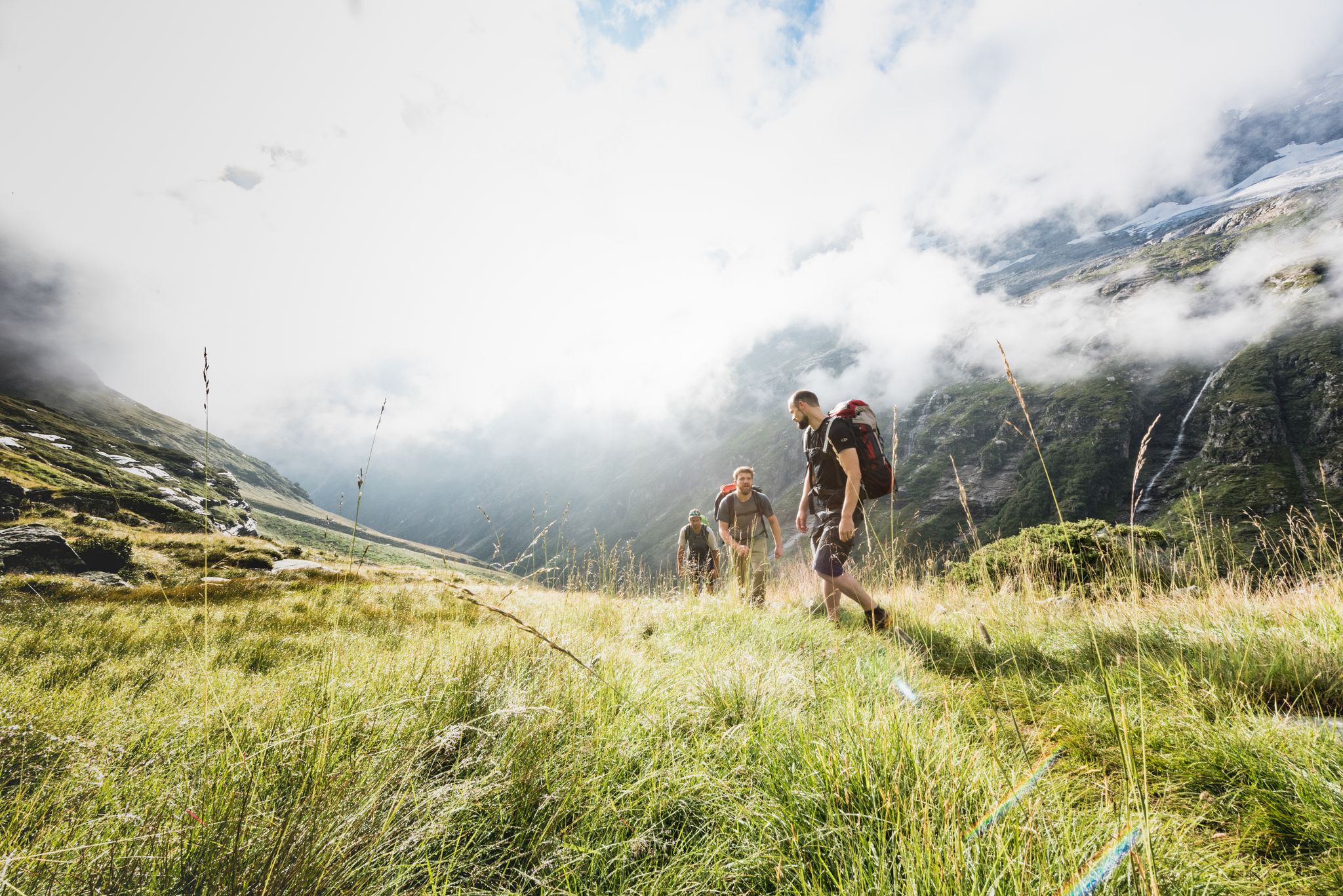
Mountaineering routes Nufenen traverse a high alpine landscape characterized by rugged peaks, glacial lakes, and challenging passes. The region features prominent summits and deep valleys, offering varied terrain for experienced mountaineers. Elevations are significant, with routes often leading to exposed ridges and rocky slopes.
Best mountaineering routes around Nufenen
- The most popular mountaineering route is Piz Tambo – Laghetti del Tamburello loop from Splügen Pass, a 5.5 miles (8.9 km) trail that takes 6 hours 13 minutes to complete. This difficult route offers expansive views across high mountain terrain.
- Another top favourite among local mountaineers is Upper Suretta Lake loop from Splügen, a moderate 7.6 miles (12.3 km) path. This route explores alpine lakes and offers a less strenuous, yet rewarding, experience.
- Local mountaineers also love the Mountain lake – Lago Azzurro loop from Splügen Pass, a 4.5 miles (7.2 km) trail leading through high alpine valleys and past pristine mountain lakes, often completed in about 3 hours 37 minutes.
- Mountaineering around Nufenen is defined by high alpine passes, glacial lakes, and rocky peaks, with options ranging from moderate ascents to challenging climbing routes Nufenen for experts. The network offers options for different ability levels, primarily focusing on difficult terrain.
- The routes in Nufenen are highly rated by the komoot community with an average score of 4.9 stars from over 20 reviews. More than 140 mountaineers have used komoot to explore Nufenen's varied terrain.
Last updated: July 4, 2026
4.9
(10)
44
hikers
8.87km
06:13
1,020m
1,020m
Hard mountaineering route. Very good fitness required. Sure-footedness, sturdy shoes and alpine experience required.
4.0
(2)
6
hikers
10.6km
05:30
860m
870m
Hard mountaineering route. Very good fitness required. Sure-footedness, sturdy shoes and alpine experience required.

Sign up for free
5.0
(1)
3
hikers
11.9km
05:00
620m
630m
Hard mountaineering route. Very good fitness required. Mostly accessible paths. Sure-footedness required.
6
hikers
14.3km
05:27
780m
780m
Hard mountaineering route. Very good fitness required. Mostly accessible paths. Sure-footedness required.
5.0
(1)
4
hikers
12.2km
04:37
820m
820m
Moderate mountaineering route. Good fitness required. Easily-accessible paths. Suitable for all skill levels.
Get access to more routes and recommendations from other explorers.
Sign up for free
Already have an account?
Our route recommendations are based on thousands of hikes, rides, and runs completed by other people on komoot.
Start today with a free account
Your next adventure awaits.
Login or Signup
Other adventures around Nufenen

Tips from the Community

Start at the Vals cable car. The gondola is free in summer. A simple but beautiful hike through the raised moor. At the Zervraila reservoir, return to Vals by scooter. These can be rented at the restaurant at Lake Zervraila. You return to the cable car parking lot.
0
0

Since, as is often the case, the pass signs are completely covered with stickers, taking photos in front of them is no longer fun. Alternatively, you can use the boundary stone to take a "proof photo." On the other side of the road, there's another, smaller stone with the elevation: 2113 m.
0
0

The lake's location is unique; it already had 16 degrees Celsius today. A breathtaking landscape. The flora and fauna are also unique and diverse. Pure enjoyment!
0
0
An incredibly beautiful place, which we easily reached on foot from Splügen. The hut is not staffed, but can be booked for one night. Drinking water is fetched from the spring by boat... row across the upper Surettasee, enjoy the panorama, and refill your drinking water supplies at the spring... a truly adventurous experience.
0
0

The path zigzags through the forest up or down the mountain.
0
1

At a similar altitude lies the Guraletschsee to the south and the Selvasee to the north. The three lakes are connected by hiking trails and can be reached from Zervreila or directly from Vals.
0
0

Montespluga SO The mountain village of Montespluga is located at an altitude of 1908 m above sea level at the beginning of the Val San Giacomo (also called Valle Spluga), about three kilometers from the summit of the Splügen Pass. The place originated in a hollow rich in water and pastures, where the Valle Spluga meets the Val Loga, near the border peaks of the area such as Pizzo Tambo. In 1927, the construction of the dam about 2 kilometers south of Montespluga began, damming the Torrente Liro to form the Lago di Montespluga below the village. The village with its few houses, restaurants, hotels, and shops on the pass road and the old customs building "La Casa" has hardly changed. Until 1841, it housed the only hospice on the Splügen Pass and the only place of worship, the chapel of San Francesco d’Assisi. The latter was consecrated in 1832, the year after the completion of the new road to the Splügen Pass in 1822. As early as 1767, the apostolic nuncio in Switzerland and later Cardinal Luigi Valenti Gonzaga had granted permission to set up a small chapel in the hospice. Since the opening of the San Bernardino Tunnel, the pass has no longer been kept open in winter. The village, which consists of three streets (Via Dogana, Via Ferrè, and Via Val Loga), can be cut off from both Italy and Switzerland. Montespluga is the starting point for numerous hiking, mountaineering, and ski touring destinations in the surrounding mountains and a stage destination on the cross-border long-distance hiking trail Via Spluga. Text / Source: wikipedia.org https://de.wikipedia.org/wiki/Montespluga
11
0
Frequently Asked Questions
What is the general difficulty level of mountaineering routes around Nufenen?
The Nufenen region is primarily known for its challenging high alpine terrain. Out of the 13 mountaineering routes available, 10 are classified as difficult, while 3 are moderate. This makes it an ideal destination for experienced mountaineers seeking demanding ascents and exposed ridges.
Are there any beginner-friendly mountaineering routes in Nufenen?
While the Nufenen area is predominantly challenging, there are a few moderate options suitable for those with some mountaineering experience. For instance, the Upper Suretta Lake loop from Splügen offers a less strenuous, yet rewarding, experience exploring alpine lakes.
Where can experienced mountaineers find particularly challenging routes in Nufenen?
Experienced mountaineers will find ample challenge in Nufenen's difficult routes. Consider the Fuorcla da Patnaul loop from Gadastatt, which involves significant elevation gain and covers 13 km, typically taking over 5 hours to complete. Many routes in the region feature exposed ridges and rocky slopes.
What is the best season for mountaineering in Nufenen?
The best season for mountaineering in Nufenen is typically from late June to early October. During this period, snowmelt has usually cleared the higher passes, and weather conditions are generally more stable, offering clearer views and safer passage through the high alpine environment.
What are the typical weather conditions to expect when mountaineering in Nufenen?
Due to its high alpine nature, weather in Nufenen can change rapidly and unpredictably. Expect significant temperature variations, even in summer, with potential for strong winds, fog, and sudden thunderstorms. Always check the local forecast before heading out and be prepared for all conditions, including snow at higher elevations, even in summer.
Are there any circular mountaineering routes around Nufenen?
Yes, several mountaineering routes in Nufenen are designed as loops, allowing you to start and end at the same point. Besides the popular Piz Tambo – Laghetti del Tamburello loop from Splügen Pass, you can also explore the Mountain lake – Lago Azzurro loop from Montespluga, which offers stunning views of pristine mountain lakes.
Are there multi-day mountaineering options in the Nufenen area?
While the listed routes are primarily day tours, the Nufenen region's extensive network of high alpine passes and valleys lends itself to linking multiple routes for multi-day expeditions. With proper planning and accommodation in mountain huts or villages like Splügen or Montespluga, you can create longer, immersive mountaineering experiences.
What can I see along the mountaineering routes in Nufenen?
The routes in Nufenen offer breathtaking natural beauty and interesting landmarks. You'll encounter stunning glacial lakes like Sufnersee, dramatic mountain passes such as Splügen Pass, and picturesque settlements like Montespluga. The Cardinello Gorge is another notable natural attraction in the vicinity.
Are there specific parking areas or trailheads for mountaineering routes in Nufenen?
Yes, many mountaineering routes in Nufenen typically start from well-known mountain passes or villages that offer parking facilities. Common starting points include areas near Splügen Pass, Splügen village, or Montespluga. It's advisable to check specific route descriptions for detailed trailhead information and parking availability.
What do other mountaineers enjoy most about the Nufenen region?
The Nufenen region is highly rated by the komoot community, with an average score of 4.9 stars from over 20 reviews. Mountaineers frequently praise the expansive views across the high mountain terrain, the pristine mountain lakes, and the challenging yet rewarding nature of the routes. The sense of solitude and immersion in a rugged alpine environment is also a common highlight.
Are there any cafes or restaurants near the mountaineering trails in Nufenen?
While the high alpine routes themselves are remote, you can find cafes and restaurants in the nearby villages and at the mountain passes. Settlements like Splügen, Montespluga, and San Bernardino Village offer options for refreshments and meals before or after your mountaineering adventure.
Are there any family-friendly hikes near Nufenen Pass, distinct from the mountaineering routes?
While the core mountaineering routes around Nufenen are generally demanding, the broader region offers gentler trails suitable for families. These are typically found at lower elevations or around accessible lakes and villages. For specific family-friendly options, it's best to explore dedicated hiking guides for the valleys surrounding the Nufenen Pass, as the routes listed here are focused on challenging mountaineering.
Are permits required for climbing specific routes in Nufenen?
Generally, permits are not required for standard mountaineering routes in the Nufenen region. However, if you plan to undertake highly technical climbs, access protected areas, or engage in activities that might require special permission, it's always prudent to check with local authorities or mountain guide associations for any specific regulations that might apply.
Most popular attractions around Nufenen

Get inspired with the komoot mobile app


Explore more
Browse the best Mountain Hikes & Routes in other regions.
