The best running trails around Sils im Domleschg
4.7
(86)
2,321
runners
134
runs
Jogging around Sils im Domleschg offers a variety of routes through the region's diverse landscape. The area is characterized by the Domleschg valley, with the Hinterrhein river flowing through it, and features a mix of established paths and natural trails. Extensive forested areas and river valleys provide varied terrain for running. The routes generally include gentle ascents and descents, providing options for various fitness levels.
Best jogging routes around Sils im Domleschg
- The most popular jogging route is Thusis Railway…
Last updated: July 7, 2026
4.5
(2)
46
runners
7.54km
00:50
60m
60m
Moderate run. Good fitness required. Mostly paved surfaces. Suitable for all skill levels.
27
runners
21.0km
02:13
200m
200m
Hard run. Very good fitness required. Mostly paved surfaces. Suitable for all skill levels.

Sign up for free
21
runners
Hard run. Very good fitness required. Sure-footedness, sturdy shoes and alpine experience required.
5.0
(2)
23
runners
9.72km
01:25
350m
350m
Hard run. Very good fitness required. Sure-footedness, sturdy shoes and alpine experience required.
5.0
(1)
13
runners
11.2km
01:10
90m
90m
Moderate run. Good fitness required. Mostly paved surfaces. Suitable for all skill levels.
Get access to more routes and recommendations from other explorers.
Sign up for free
Already have an account?
Our route recommendations are based on thousands of hikes, rides, and runs completed by other people on komoot.
Start today with a free account
Your next adventure awaits.
Login or Signup
Popular around Sils im Domleschg
Other adventures around Sils im Domleschg

Tips from the Community

Clà Ferrovia was also on the move at Thusis train station. Can you find the QR code?
0
0

Excellent and functional train station
0
0

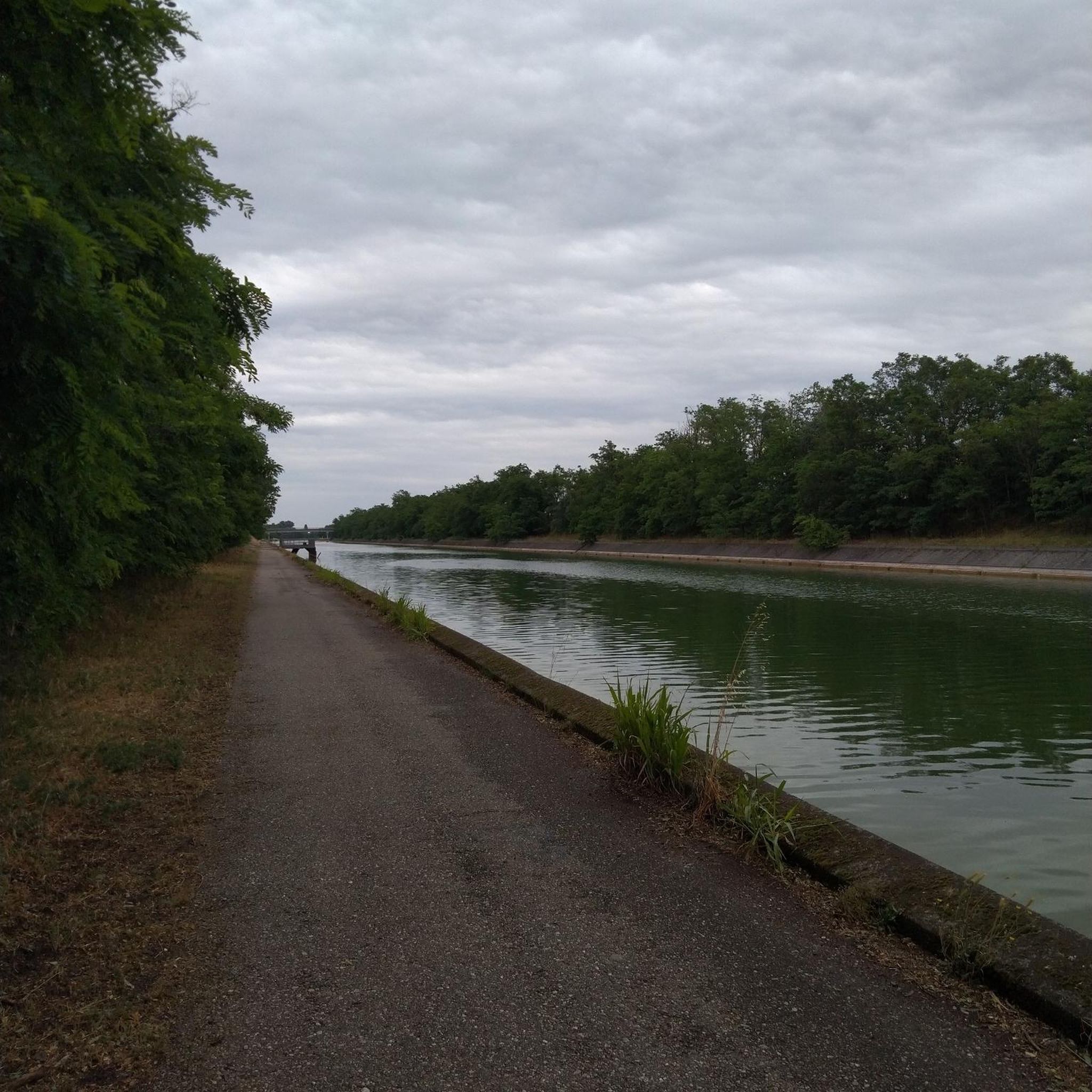
If the moment is right, you can also take a nice photo of the Hinterrhein. But please don't block the bridge. There is just enough room for one bicycle.
0
0

Perfectly made with love for big and small children to bike
1
0

Thusis station is the terminus of the Landquart - Thusis line and a station of the Rhaetian Railway on the Albula line for express trains coming from Chur to St. Moritz. Officially, the Albula line only begins here, but in reality the express trains on the Albula line continue to Chur or are used there.
2
0

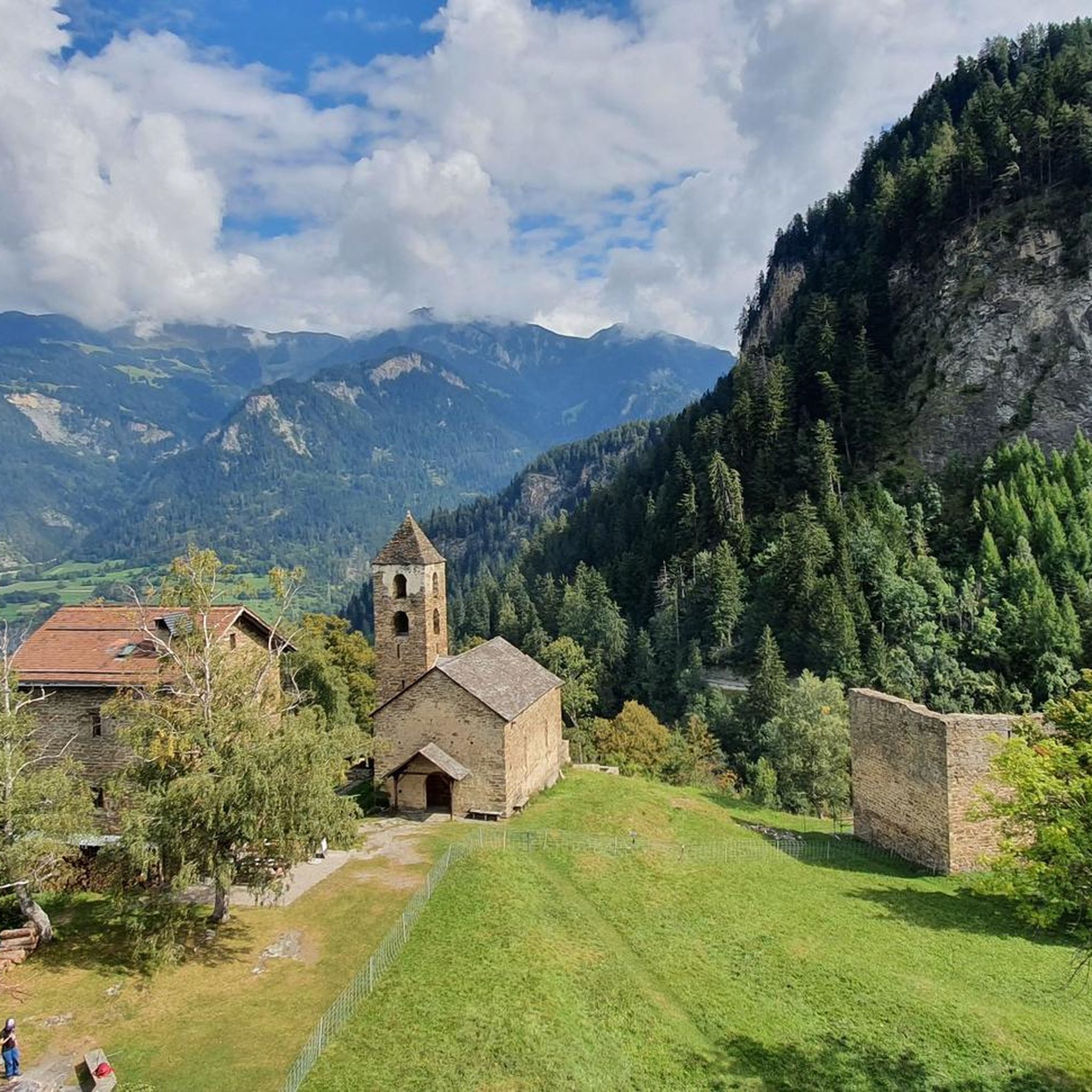
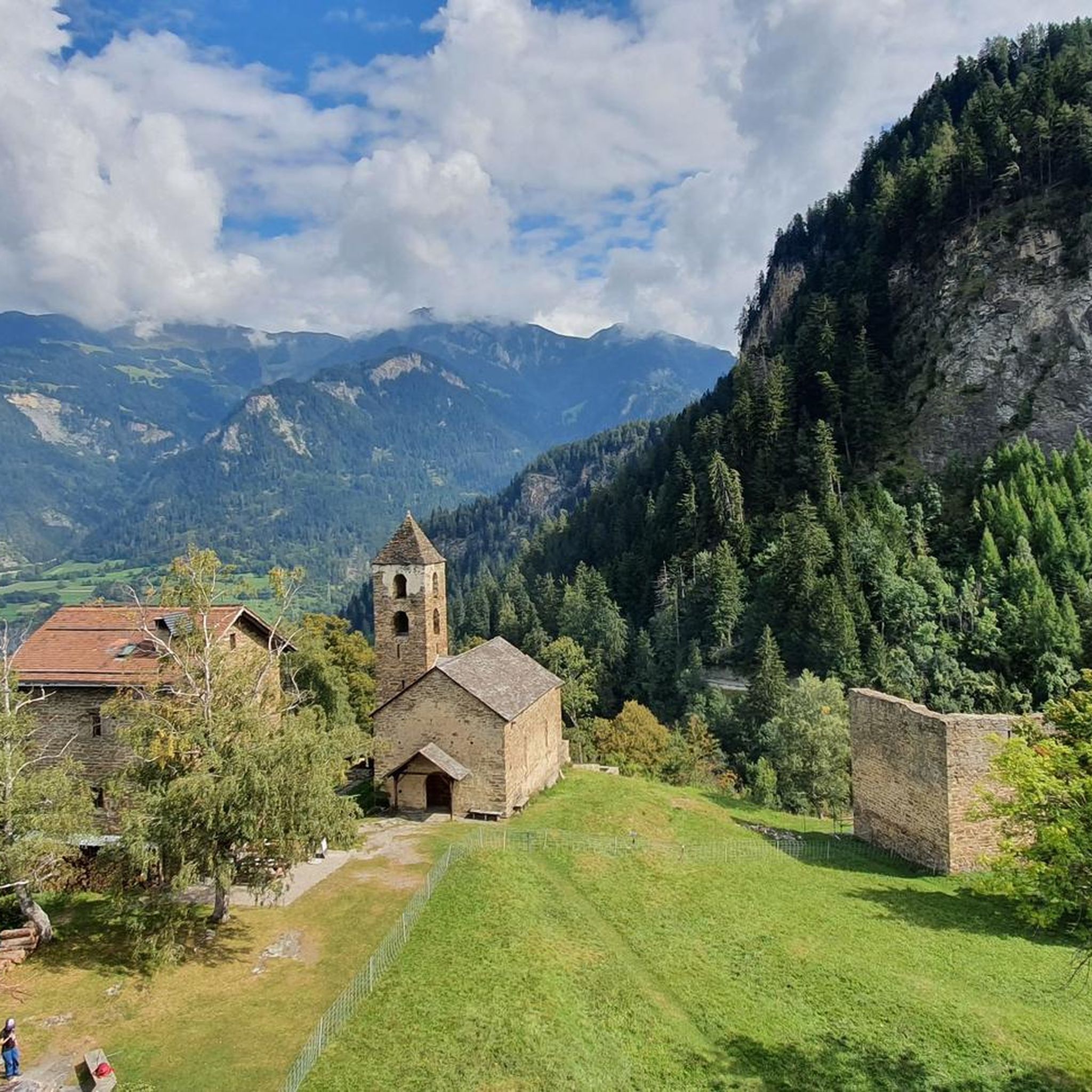
The Chapel of St. Albin is located on the Veia Traversina in the Viamala Gorge in Sils Domelschg Graubünden.
1
0
The Höhen Rätien Castle is a hilltop and church castle high on the rock at an altitude of 946 metres above the entrance to the Viamala Gorge. It is located in Sils im Domelschg Hinterrhein Graubünden. It is one of the oldest cultural and settlement sites in Switzerland.
2
0
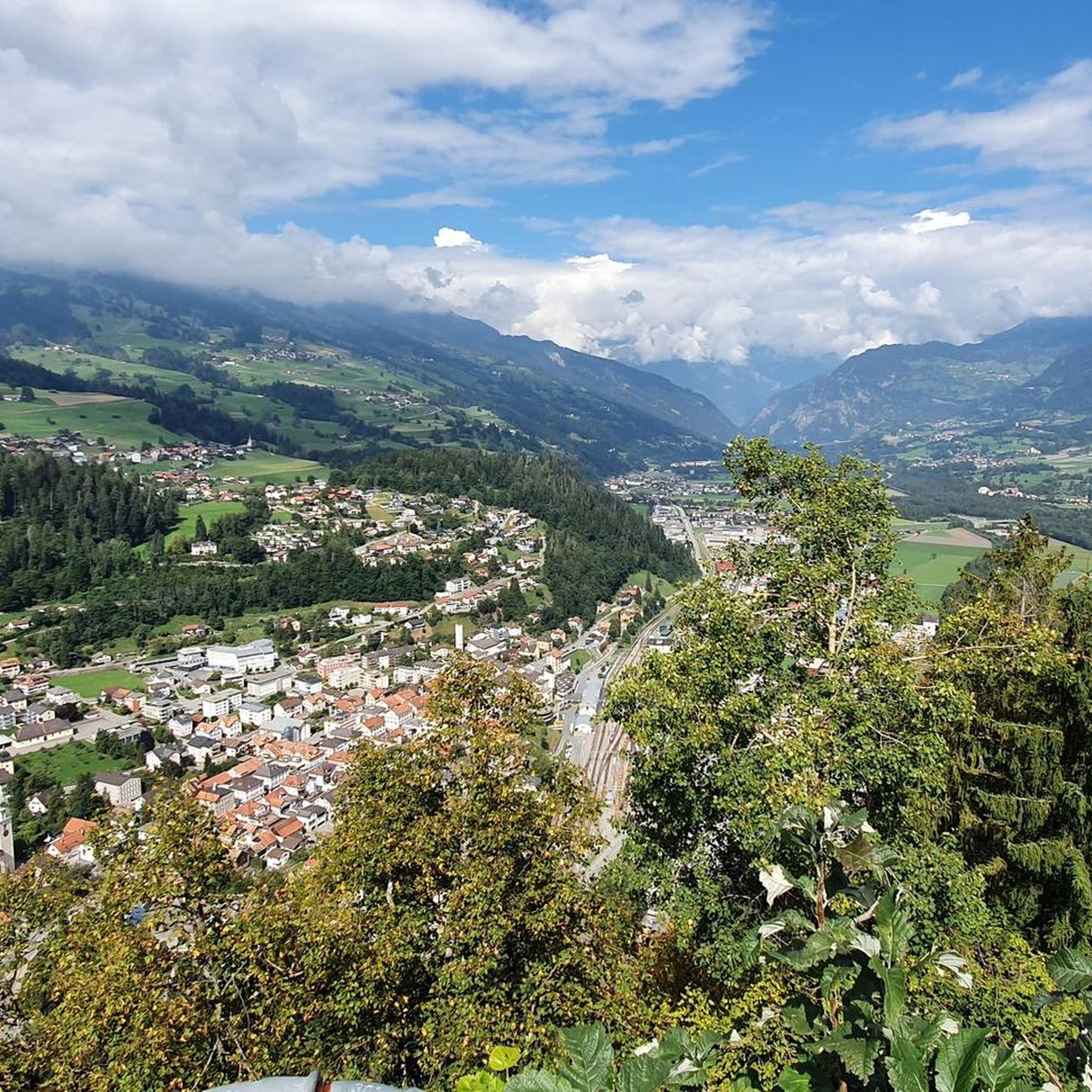
Thusis train station is located at an altitude of 697 meters in the Rhine Valley of Graubünden. The meter-gauge Rhaetian Railway serves the Thusis-Reichenau-Chur, Thusis-Landquart, Abula line.
4
0
Frequently Asked Questions
How many running routes are available in Sils im Domleschg?
There are over 130 running routes around Sils im Domleschg, offering a wide variety of options for different fitness levels and preferences. These include easy, moderate, and difficult trails through the valley and forested areas.
Are there easy jogging routes suitable for beginners in Sils im Domleschg?
Yes, Sils im Domleschg offers several easy jogging routes perfect for beginners. There are 12 easy routes available, typically featuring gentler terrain along riverbanks or through villages. These are ideal for those new to running or looking for a relaxed pace.
Can I find long-distance running trails in the Sils im Domleschg area?
Absolutely. For those seeking a challenge, Sils im Domleschg has 60 difficult routes, many of which are long-distance trails with notable elevation changes. An example is the Vitaparcours Zurich loop from Masein, which spans 12.9 miles (20.7 km).
Are there circular running routes in Sils im Domleschg?
Many of the running routes in Sils im Domleschg are circular, allowing you to start and finish at the same point. For instance, the popular Thusis Railway Station – Vitaparcours Zurich loop from Thusis is a moderate 4.7-mile (7.5 km) circular trail.
What kind of terrain can I expect on the running trails around Sils im Domleschg?
The terrain around Sils im Domleschg is diverse, characterized by the Domleschg valley and the Hinterrhein river. You'll find a mix of established paths, natural trails, riverbank routes, and forested sections. Expect gentle ascents and descents, with some difficult routes featuring more significant elevation changes.
What do other runners enjoy most about the trails in Sils im Domleschg?
The running trails in Sils im Domleschg are highly rated by the komoot community, with an average score of 4.7 stars from over 90 reviews. Runners often praise the varied terrain, the blend of urban and natural experiences, and the well-maintained paths that cater to different fitness levels.
Are there any interesting landmarks or sights along the running routes?
Yes, the region offers several points of interest. While running, you might encounter historical landscapes, natural features, and beautiful lakes. For example, you could explore areas near Canovasee or Lake Bischol, which are part of the broader landscape around Sils im Domleschg.
Can I find running routes with good viewpoints in Sils im Domleschg?
Many routes in the Domleschg valley offer scenic views of the surrounding mountains and the Hinterrhein river. While specific viewpoints aren't always marked, the natural elevation changes on routes like the Old Via Mala – Lost Hole loop from Thusis often provide picturesque vistas of the historical landscapes and natural beauty.
Is Sils im Domleschg suitable for winter running?
While the guide focuses on general running, the Domleschg valley, being in the Alps, experiences snowy winters. Some lower-elevation or well-maintained paths might be suitable for winter running, especially if cleared. However, higher or more natural trails could be challenging due to snow and ice. It's always advisable to check local conditions and trail reports during winter months.
Are there family-friendly running trails in Sils im Domleschg?
Yes, the region's 12 easy routes are often suitable for families looking for a less strenuous run or walk. These trails typically follow gentler paths along the river or through villages, providing a pleasant experience for all ages. Always check the route's specific details for distance and elevation to ensure it matches your family's capabilities.
What is the best time of year for running in Sils im Domleschg?
The best time for running in Sils im Domleschg is generally from spring through autumn (May to October). During these months, the weather is milder, trails are clear of snow, and the natural scenery is at its most vibrant. Summer offers longer daylight hours, while spring and autumn provide comfortable temperatures and beautiful foliage.
Are there running routes that are easily accessible by public transport or have parking nearby?
Many routes in the Sils im Domleschg area, particularly those starting from larger villages like Thusis, are often accessible by public transport. For example, the Thusis Railway Station – Vitaparcours Zurich loop from Thusis begins directly from the railway station. Parking is generally available in and around the main villages, making it convenient to access trailheads.
Most popular routes around Sils im Domleschg
Most popular attractions around Sils im Domleschg

Get inspired with the komoot mobile app


Explore more
Browse the best Running Trails & Routes in other regions.
