The best running trails around Sufers
4.9
(11)
701
runners
66
runs
Jogging around Sufers offers a variety of routes through its mountainous landscape, characterized by valleys, rivers, and elevated terrain. The region provides opportunities for running along waterways and through areas with notable elevation changes. These running trails are set within a natural environment that includes both open spaces and more enclosed valley paths.
Best jogging routes around Sufers
- The most popular jogging route is Splügen Village Bus Stop – Hinterrhein Near Medeln loop from Splügen, an 8.5 miles (13.6…
Last updated: July 4, 2026
21
runners
13.4km
01:28
260m
260m
Moderate run. Good fitness required. Mostly paved surfaces. Suitable for all skill levels.
5.0
(1)
24
runners
10.3km
01:09
130m
130m
Moderate run. Good fitness required. Mostly paved surfaces. Suitable for all skill levels.

Sign up for free
4.0
(1)
21
runners
9.69km
01:05
110m
110m
Hard run. Good fitness required. Sure-footedness, sturdy shoes and alpine experience required.
10
runners
10.7km
01:11
210m
210m
Moderate run. Good fitness required. Mostly paved surfaces. Suitable for all skill levels.
11
runners
10.0km
01:05
190m
190m
Moderate run. Good fitness required. Mostly paved surfaces. Suitable for all skill levels.
Get access to more routes and recommendations from other explorers.
Sign up for free
Already have an account?
Our route recommendations are based on thousands of hikes, rides, and runs completed by other people on komoot.
Start today with a free account
Your next adventure awaits.
Login or Signup

Tips from the Community

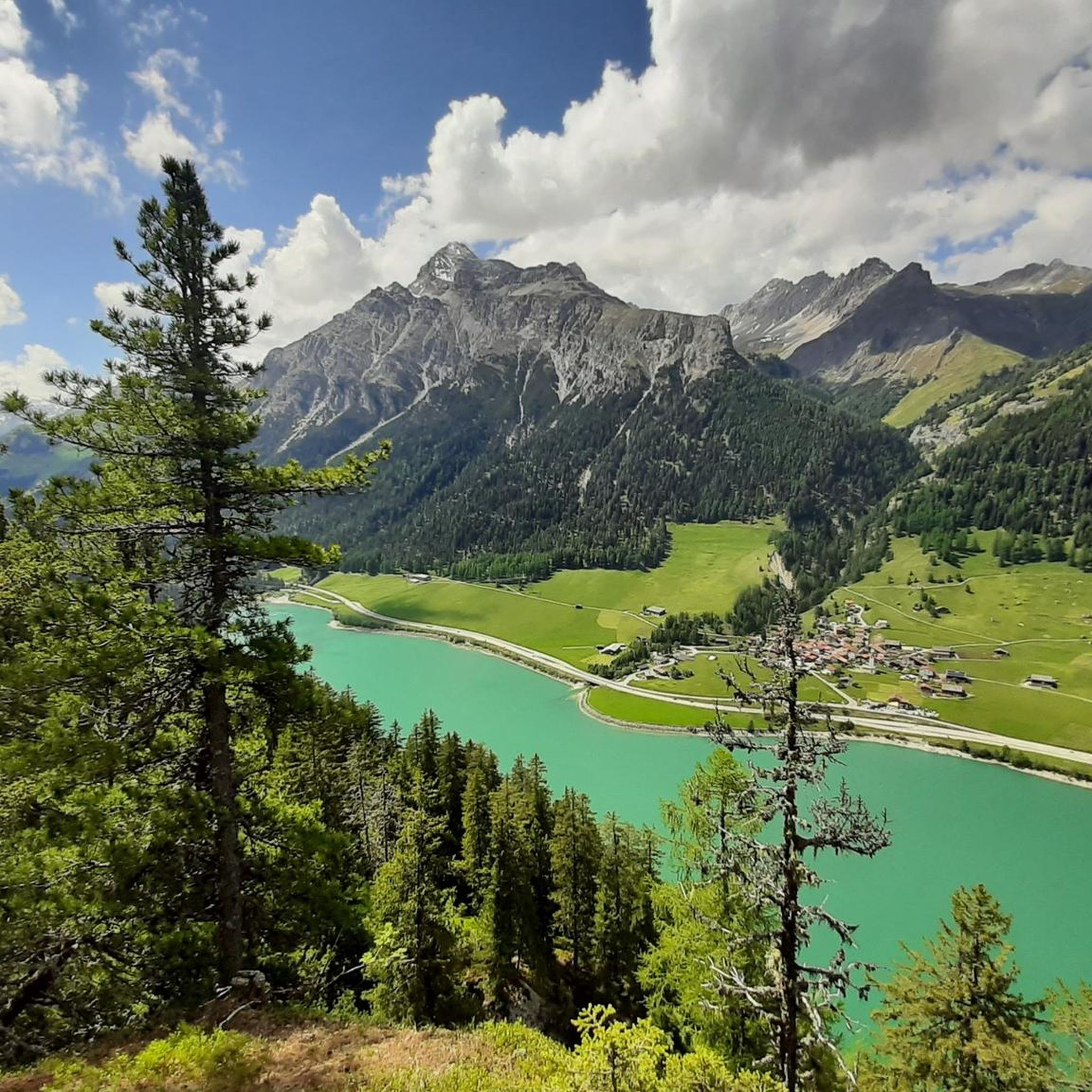
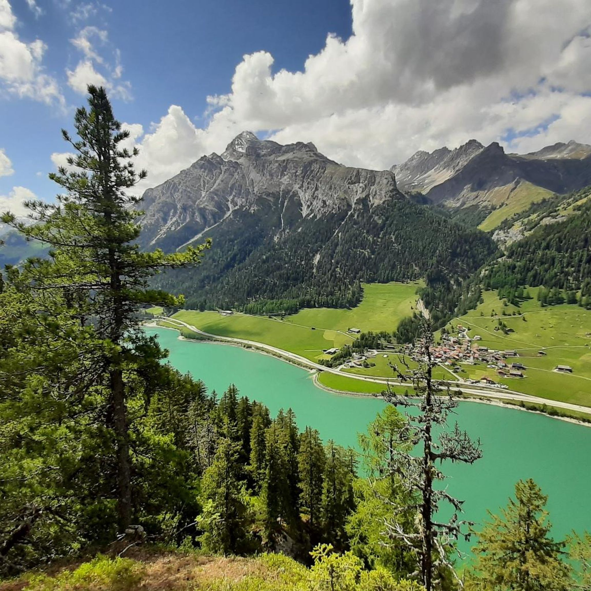
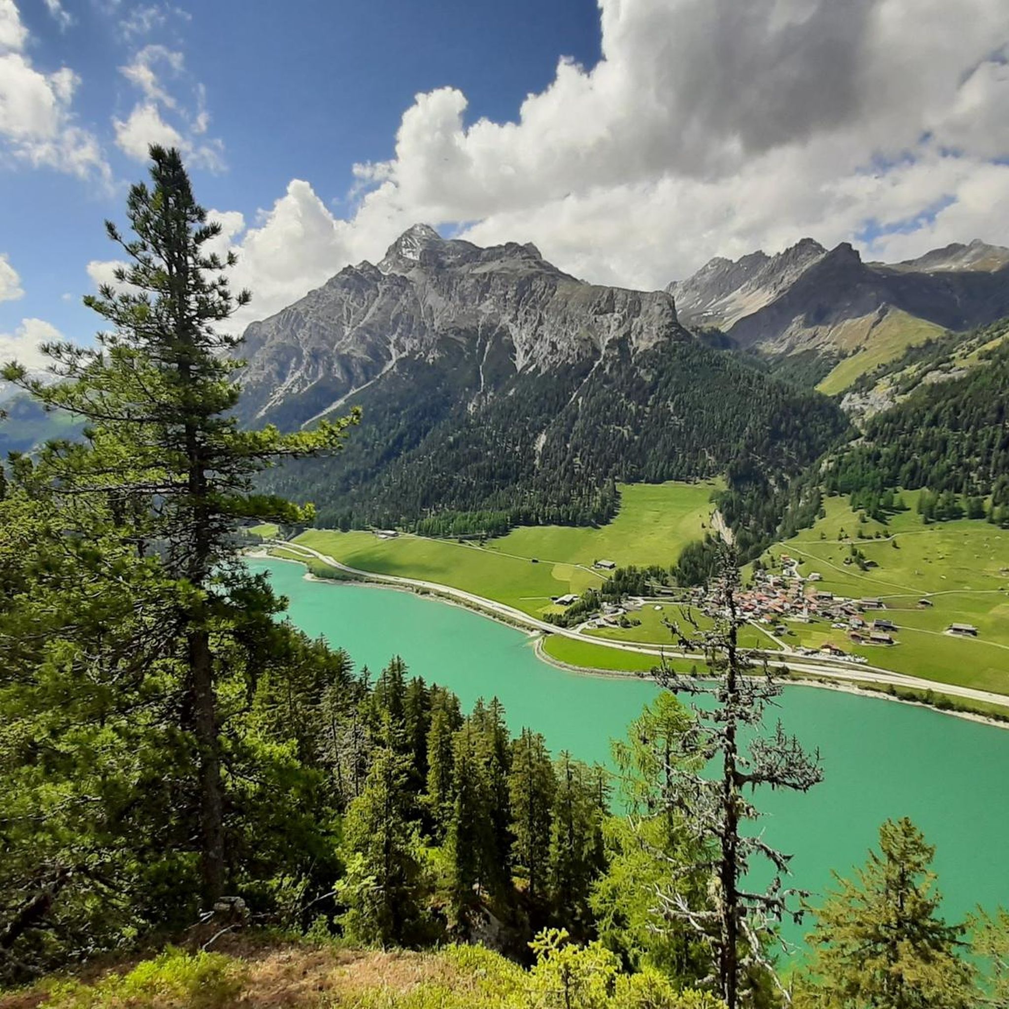
short route (2h) but panoramic as you go up it does not present dangers but children in hand in the upper part. I think you will take many photos.
0
0


Ideal starting point for mountain biking, chicken, etc.
0
0


Montespluga SO The mountain village of Montespluga is located at an altitude of 1908 m above sea level at the beginning of the Val San Giacomo (also called Valle Spluga), about three kilometers from the summit of the Splügen Pass. The place originated in a hollow rich in water and pastures, where the Valle Spluga meets the Val Loga, near the border peaks of the area such as Pizzo Tambo. In 1927, the construction of the dam about 2 kilometers south of Montespluga began, damming the Torrente Liro to form the Lago di Montespluga below the village. The village with its few houses, restaurants, hotels, and shops on the pass road and the old customs building "La Casa" has hardly changed. Until 1841, it housed the only hospice on the Splügen Pass and the only place of worship, the chapel of San Francesco d’Assisi. The latter was consecrated in 1832, the year after the completion of the new road to the Splügen Pass in 1822. As early as 1767, the apostolic nuncio in Switzerland and later Cardinal Luigi Valenti Gonzaga had granted permission to set up a small chapel in the hospice. Since the opening of the San Bernardino Tunnel, the pass has no longer been kept open in winter. The village, which consists of three streets (Via Dogana, Via Ferrè, and Via Val Loga), can be cut off from both Italy and Switzerland. Montespluga is the starting point for numerous hiking, mountaineering, and ski touring destinations in the surrounding mountains and a stage destination on the cross-border long-distance hiking trail Via Spluga. Text / Source: wikipedia.org https://de.wikipedia.org/wiki/Montespluga
11
0

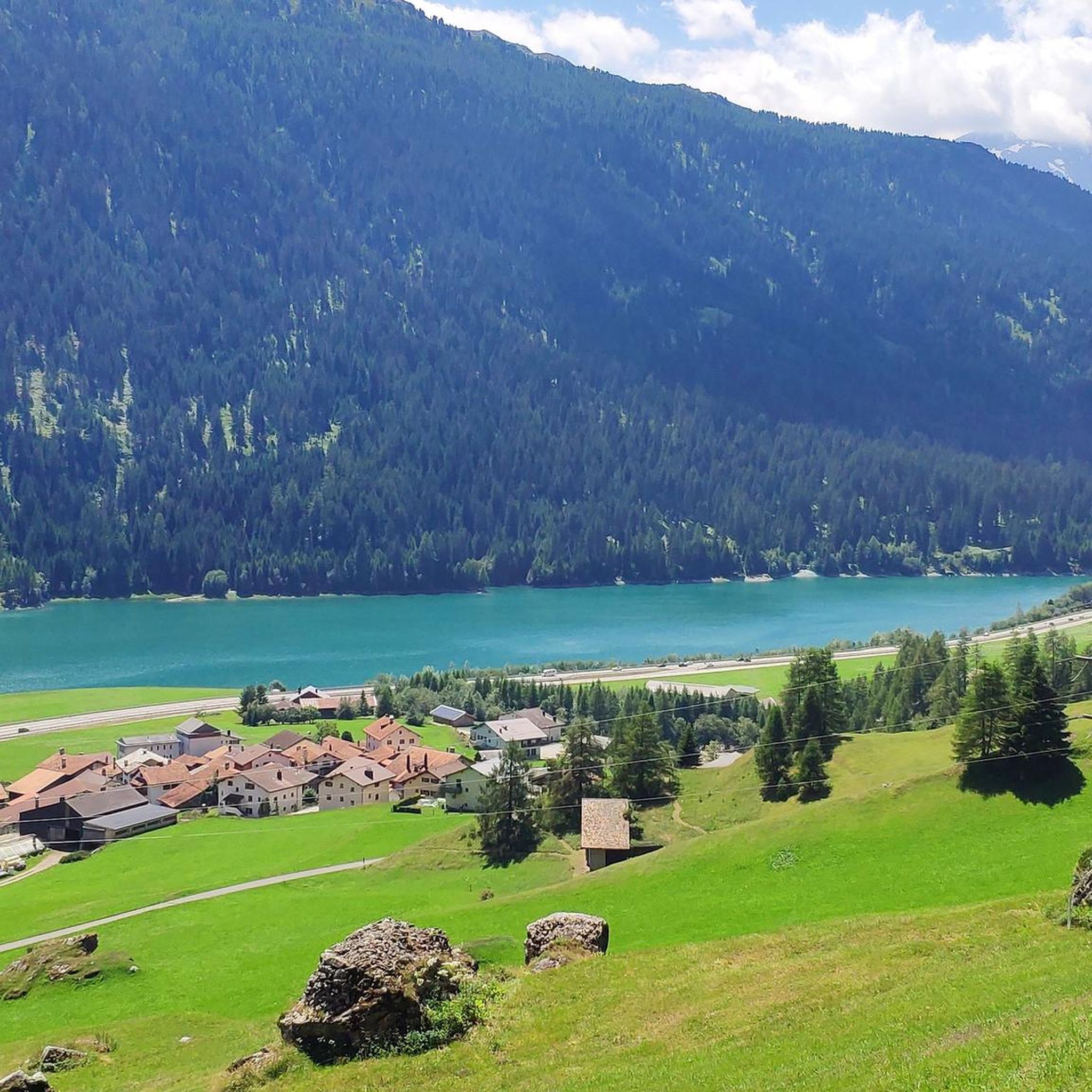
Medels is a small village in the Rheinwald region, where only about 40 people live today. In addition to the old farmhouses, the village church is worth seeing.
1
0

Beautiful mountain lake... depending on the light it shines in beautiful colors
3
0
Frequently Asked Questions
How many running routes are available in Sufers?
You'll find over 40 running routes around Sufers, catering to various fitness levels. These trails wind through the beautiful Swiss alpine landscape, offering diverse experiences from easy jogs to more challenging runs.
Are there easy running trails for beginners in Sufers?
Yes, Sufers offers 3 easy running routes, perfect for beginners or those looking for a relaxed jog. These trails typically feature gentler inclines and shorter distances, allowing you to enjoy the alpine scenery at a comfortable pace.
Can I find circular jogging routes around Sufers?
Absolutely. Many of the running paths in Sufers are designed as loops, allowing you to start and finish at the same point. For example, the Hinterrhein Near Medeln loop from Splügen is a popular circular route offering scenic views of the valley and river landscape.
What kind of scenery can I expect on the running trails in Sufers?
Jogging routes in Sufers are set within a stunning Swiss alpine landscape. You can expect lush green mountains, tranquil valleys carved by rivers, and the serene presence of Lake Sufnersee. Many trails also offer panoramic views of surrounding peaks and wind through alpine forests.
Are there any dog-friendly running routes in Sufers?
While specific routes aren't designated 'dog-friendly' in the data, the natural environment of Sufers, with its forests and open trails, is generally welcoming for dogs. It's always recommended to keep your dog on a leash and be mindful of local regulations and wildlife, especially in alpine areas.
Are there family-friendly jogging options in Sufers?
Yes, the easier running routes in Sufers are suitable for families. With 3 easy trails available, you can find paths that are less strenuous and allow for a pleasant outing with children, enjoying the natural beauty of the region together.
What are some interesting landmarks or attractions to see near the running paths?
As you jog around Sufers, you can encounter various points of interest. Notable landmarks include the Evangelical Reformed Church, Innerferrera, or the Ziteil Pilgrimage Chapel. For those interested in the natural landscape, highlights like Glaser Ridge or Ober Surettasee and Seehütte offer stunning views.
Is Sufers suitable for winter jogging?
Sufers, located at 1,428 meters above sea level, experiences alpine winters. While some trails might be accessible, many will be covered in snow. For winter jogging, it's crucial to check local conditions, trail accessibility, and consider appropriate gear like trail running shoes with good grip or even snowshoes for deeper snow.
Where can I find parking for the running trails in Sufers?
Many trailheads in and around Sufers, especially near villages like Splügen, offer designated parking areas. It's advisable to check specific route details on komoot for information on parking availability at the starting point of your chosen running route.
What do other runners say about the jogging routes in Sufers?
The running routes in Sufers are highly rated by the komoot community, with an average score of 4.9 stars from over 10 reviews. Runners often praise the stunning alpine scenery, the variety of terrain, and the well-maintained paths that make for an enjoyable experience.
Are there any longer running routes for experienced runners?
Yes, Sufers offers challenging options for experienced runners. For instance, the Historic Village of Splügen – Splügen loop from Splügen is a moderate 8.3-mile (13.4 km) path with significant elevation gain, exploring the historic village surroundings and local terrain. There are 18 difficult routes in the area for those seeking a greater challenge.
Can I find routes that pass by Lake Sufnersee?
Yes, Sufers is characterized by its direct access to Lake Sufnersee. You can find running routes that offer views of or run alongside the tranquil lake, providing a refreshing and picturesque backdrop for your jog.
Are there any running routes with cafes or places to rest nearby?
While not every route has a cafe directly on the trail, many routes start or pass through villages like Splügen, where you can find cafes and restaurants. Additionally, you might encounter mountain huts like Gasthaus Turrahus or Cufercal Hut (SAC) along some of the longer trails, offering opportunities for a break and refreshments.
Most popular attractions around Sufers

Get inspired with the komoot mobile app


Explore more
Browse the best Running Trails & Routes in other regions.
