The best road cycling routes around Peyrens
4.5
(32)
1,208
riders
138
rides
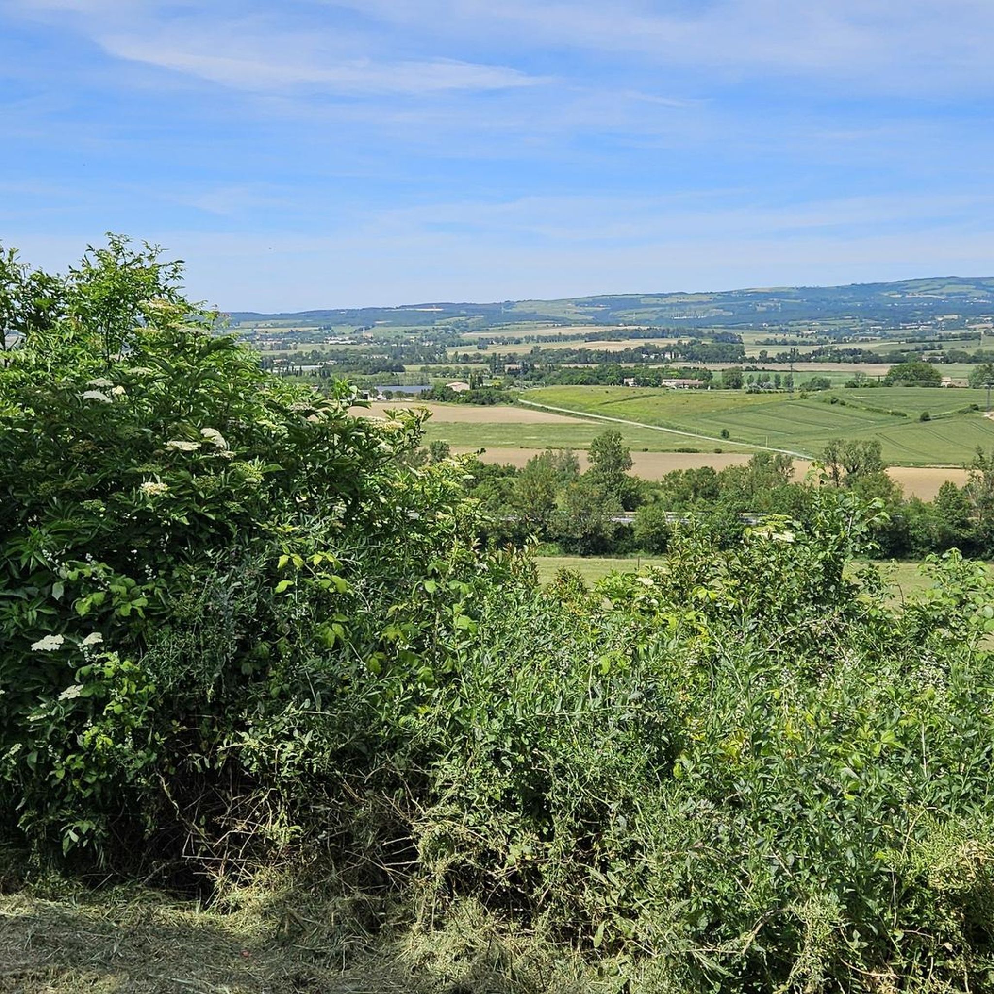
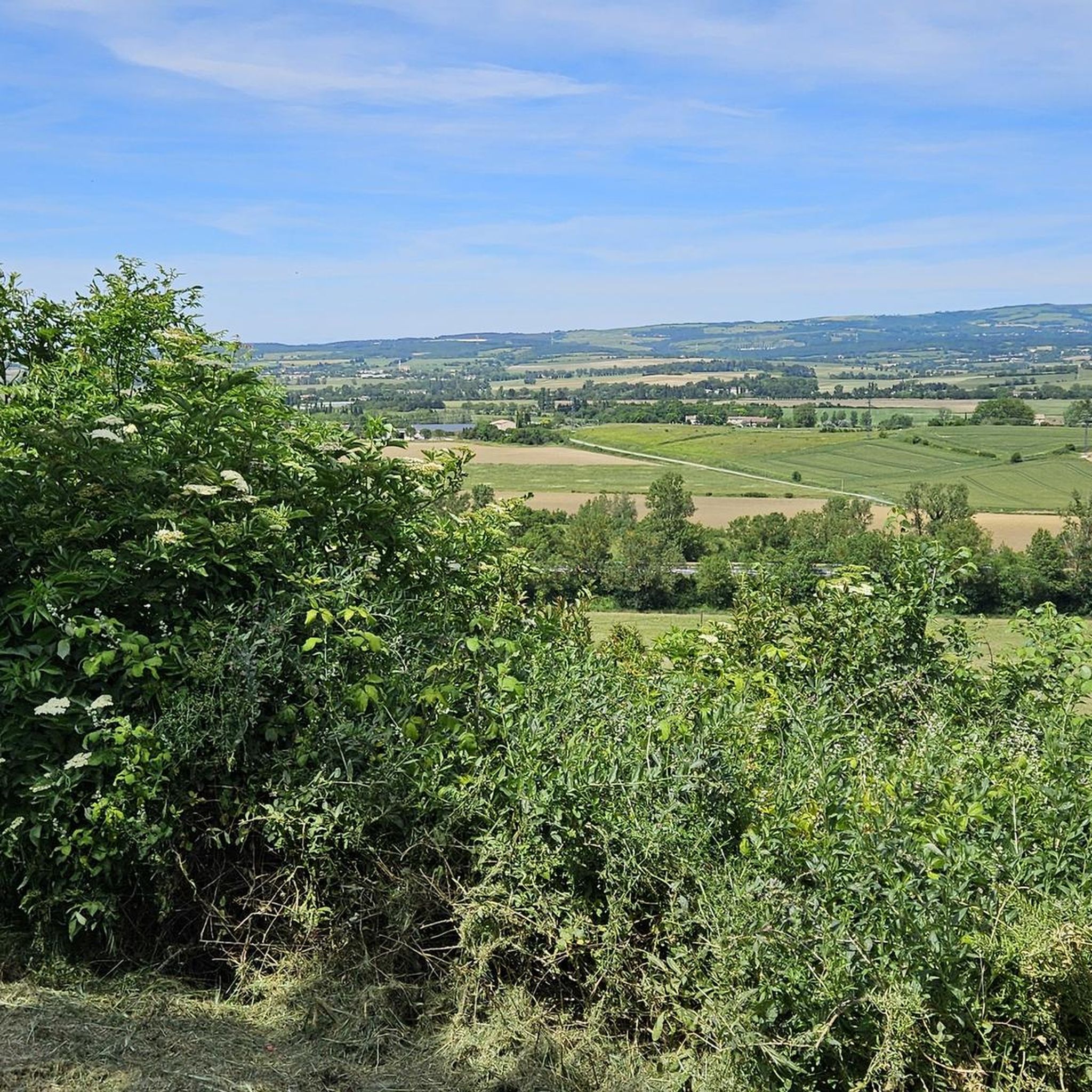
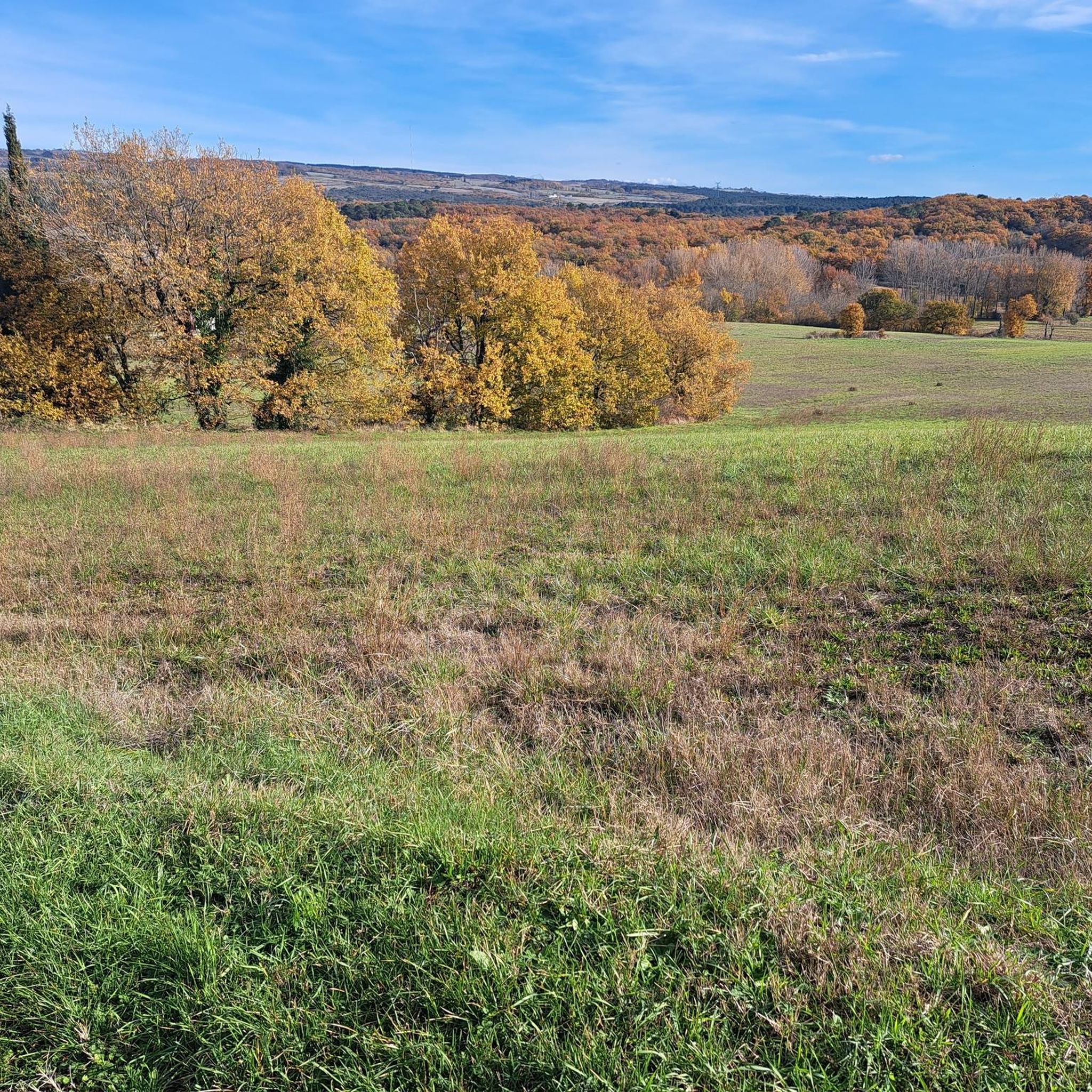
Road cycling routes around Peyrens traverse a landscape characterized by rolling hills and agricultural plains, offering varied terrain for cyclists. The region features a mix of open countryside and routes that pass near water bodies like Lac de Saint-Ferréol. Elevation changes are present, ranging from gentle ascents to more challenging climbs, particularly towards higher ground. This area provides a network of roads suitable for different levels of road cycling experience.
Best road cycling routes around Peyrens
- The most popular road…
Last updated: November 2, 2026
6
riders
44.1km
02:06
480m
470m
Moderate road ride. Good fitness required. Mostly well-paved surfaces and easy to ride.
7
riders
107km
04:50
1,100m
1,100m
Hard road ride. Very good fitness required. Mostly well-paved surfaces and easy to ride.

5.0
(1)
6
riders
25.9km
01:08
260m
260m
Moderate road ride. Some segments of this route may be unpaved and difficult to ride.
7
riders
34.7km
01:57
170m
170m
Moderate road ride. Some segments of this route may be unpaved and difficult to ride.
8
riders
31.6km
01:19
210m
210m
Easy road ride. Mostly well-paved surfaces and easy to ride.
Get access to more routes and recommendations from other explorers.
Already have an account?
Our route recommendations are based on thousands of hikes, rides, and runs completed by other people on komoot.
Start today with a free account
Your next adventure awaits.


Tips from the Community

Le Seuil de Naurouze is a strategic location in the operation and water supply of the Canal du Midi. The highest point on the canal's route, it is the birthplace as a watershed. Framed by the Ocean lock and the Mediterranean lock, it is from this site that the waters carried by the Rigole de la Plaine are distributed from one slope to the other.
0
0
The Seuil de Naurouze is a strategic location in the operation and water supply of the Canal du Midi. The highest point on the canal's route, it is the birthplace as a watershed. Flanked by the Ocean lock and the Mediterranean lock, it is from this site that the waters carried by the Rigole de la Plaine are distributed from one slope to the other.
0
0
The Not pottery is located in Mas-Saintes-Puelles, a small village in the canton of Castelnaudary. In the 19th century, the basin was a place of intense pottery activity. In 1999, the last traces of this work disappeared in Castelnaudary. The Not pottery then became the only one to have preserved its artisanal activity, maintaining the manufacture of primitive items without neglecting tradition or innovations.
0
0
The Mediterranean lock is a historic structure on the Canal du Midi built around 1670. Located in Mas-Saintes-Puelles (Aude), it marks the beginning of the downward slope towards the Mediterranean Sea. It was formerly called the Doctor's lock or Medici lock.
0
0
A commemorative plaque located on the Pont Neuf in Castelnaudary recalls the journey of Thomas Jefferson, then US ambassador to France, who travelled down the Canal du Midi (then Canal Royal) in May 1787 to admire its works of art, particularly the quadruple lock at Castelnaudary. The Pont Neuf of Castelnaudary is a remarkable stone structure that spans the Canal du Midi. Built between 1787 and 1788 by the States of Languedoc, it is located at the entrance to the town's port, also known as the Petit Bassin.
0
0
The Canal du Midi as originally planned in 1666 was not supposed to pass through Castelnaudary. However, in 1671, the consuls of the town of Castelnaudary obtained a modification of the canal's route from King Louis XIV. Thus, the canal passes by the town's gates, under the city walls.
0
0
The Canal du Midi, as originally planned in 1666, was not supposed to pass through Castelnaudary. However, in 1671, the consuls of the town of Castelnaudary obtained a modification of the canal's route from King Louis XIV. Thus, the canal passes by the town gates, under the city walls.
0
0

Located in the hamlet of Thoumazés in Saint-Félix-Lauragais, the Laudot lock is a strategic structure in the hydraulic supply network of the Canal du Midi.
1
0
Frequently Asked Questions
How many road cycling routes are available around Peyrens?
There are over 150 road cycling routes around Peyrens, offering a wide range of options for different skill levels. This includes 35 easy routes, 102 moderate routes, and 21 difficult routes.
What kind of terrain can I expect on road cycling routes in Peyrens?
The region around Peyrens is characterized by rolling hills and open agricultural plains. You'll find a mix of gentle ascents and more challenging climbs, particularly as you head towards higher ground. Many routes also pass near water bodies like Lac de Saint-Ferréol.
Are there any easy road cycling routes suitable for beginners or families?
Yes, Peyrens offers 35 easy road cycling routes. While specific 'family-friendly' routes aren't detailed, routes with lower elevation gain and shorter distances, such as the View of Castelnaudary – Grand Bassin in Castelnaudary loop from Ricaud, which is 23.5 miles (37.8 km) with moderate elevation, can be a good starting point.
Which routes offer the most challenging road cycling experience?
For a significant challenge, consider the Saint-Martin Church of Sorèze – Lac de Saint-Ferréol loop from Souilhanels. This difficult route spans 70.3 miles (113.2 km) and features substantial elevation gain, making it ideal for experienced cyclists seeking a demanding ride.
What are the typical lengths and durations of road cycling routes in the area?
Route lengths vary significantly, from shorter loops of around 20-30 miles (30-50 km) to longer, more challenging rides exceeding 70 miles (110 km). Durations can range from under 2 hours for shorter routes to over 5 hours for the most extensive ones, depending on your pace and the route's difficulty.
Are there circular road cycling routes around Peyrens?
Many of the road cycling routes around Peyrens are designed as loops, allowing you to start and finish at the same point. Examples include the Lac de Saint-Ferréol – Malamort ascent loop from Castelnaudary and the Beautiful lake view – Lake Ganguise loop from Castelnaudary.
What can I see along the road cycling routes in Peyrens?
Many routes offer scenic views of agricultural landscapes and pass by significant water bodies like Lac de Saint-Ferréol and Lake Ganguise. You can also encounter historical landmarks such as the Grand Bassin in Castelnaudary, the Écluse de l'Océan, and Saint-Papoul Abbey.
What do other road cyclists enjoy most about cycling in Peyrens?
The area is highly rated by the komoot community, with an average score of 4.5 stars from over 30 reviews. Cyclists often praise the varied terrain, from rolling hills to open plains, and the scenic routes that pass by lakes and historical sites. Over 1300 road cyclists have used komoot to explore the region's diverse offerings.
When is the best season for road cycling in Peyrens?
While specific seasonal data isn't provided, regions with rolling hills and agricultural plains like Peyrens generally offer pleasant cycling conditions during spring and autumn, when temperatures are milder. Summer can also be enjoyable, though it's advisable to cycle earlier in the morning or later in the afternoon to avoid the midday heat.
Are there routes that feature lakes or water bodies?
Yes, several routes incorporate lakes. The Lac de Saint-Ferréol – Malamort ascent loop from Castelnaudary and the Lac de Saint-Ferréol – Malamort ascent loop from Saint-Papoul both offer scenic views around Lac de Saint-Ferréol. Additionally, the Beautiful lake view – Lake Ganguise loop from Castelnaudary explores the area around Lake Ganguise.
Where can I find parking for road cycling routes near Peyrens?
Many routes start from towns or villages like Castelnaudary, Souilhanels, or Ricaud, where public parking is typically available. For instance, routes like the View of Castelnaudary – Grand Bassin in Castelnaudary loop from Ricaud begin in areas where you can usually find suitable parking to start your ride.
Most popular attractions around Peyrens

Get inspired with the komoot mobile app


Explore more
Browse the best Road cycling routes in other regions.
