The best road cycling routes around Larcat
4.5
(136)
8,164
riders
45
rides
Road cycling routes around Larcat are situated in the mountainous Ariège department, characterized by a varied terrain within the Pyrenees. The region features significant elevation changes, with altitudes ranging from 686m to 1840m, and includes the Aston Valley, a Natura 2000 site known for its natural habitats. The landscape is further defined by diverse watercourses, forested areas, and open fields, offering a mix of shaded and exposed routes. This topography provides challenging ascents and descents ideal for road cyclists.
Best…
Last updated: October 21, 2026
4.0
(3)
264
riders
89.2km
04:53
1,820m
1,820m
Hard road ride. Very good fitness required. Mostly well-paved surfaces and easy to ride.
4.5
(2)
151
riders
80.8km
04:03
1,170m
1,170m
Hard road ride. Very good fitness required. Some segments of this route may be unpaved and difficult to ride.

4.8
(4)
123
riders
102km
05:13
1,680m
1,680m
Hard road ride. Very good fitness required. Mostly well-paved surfaces and easy to ride.
5.0
(1)
94
riders
77.4km
04:25
1,540m
1,540m
Hard road ride. Very good fitness required. Some segments of this route may be unpaved and difficult to ride.
5.0
(3)
83
riders
48.8km
03:00
1,080m
1,080m
Hard road ride. Very good fitness required. Some segments of this route may be unpaved and difficult to ride.
Get access to more routes and recommendations from other explorers.
Already have an account?
Our route recommendations are based on thousands of hikes, rides, and runs completed by other people on komoot.
Start today with a free account
Your next adventure awaits.
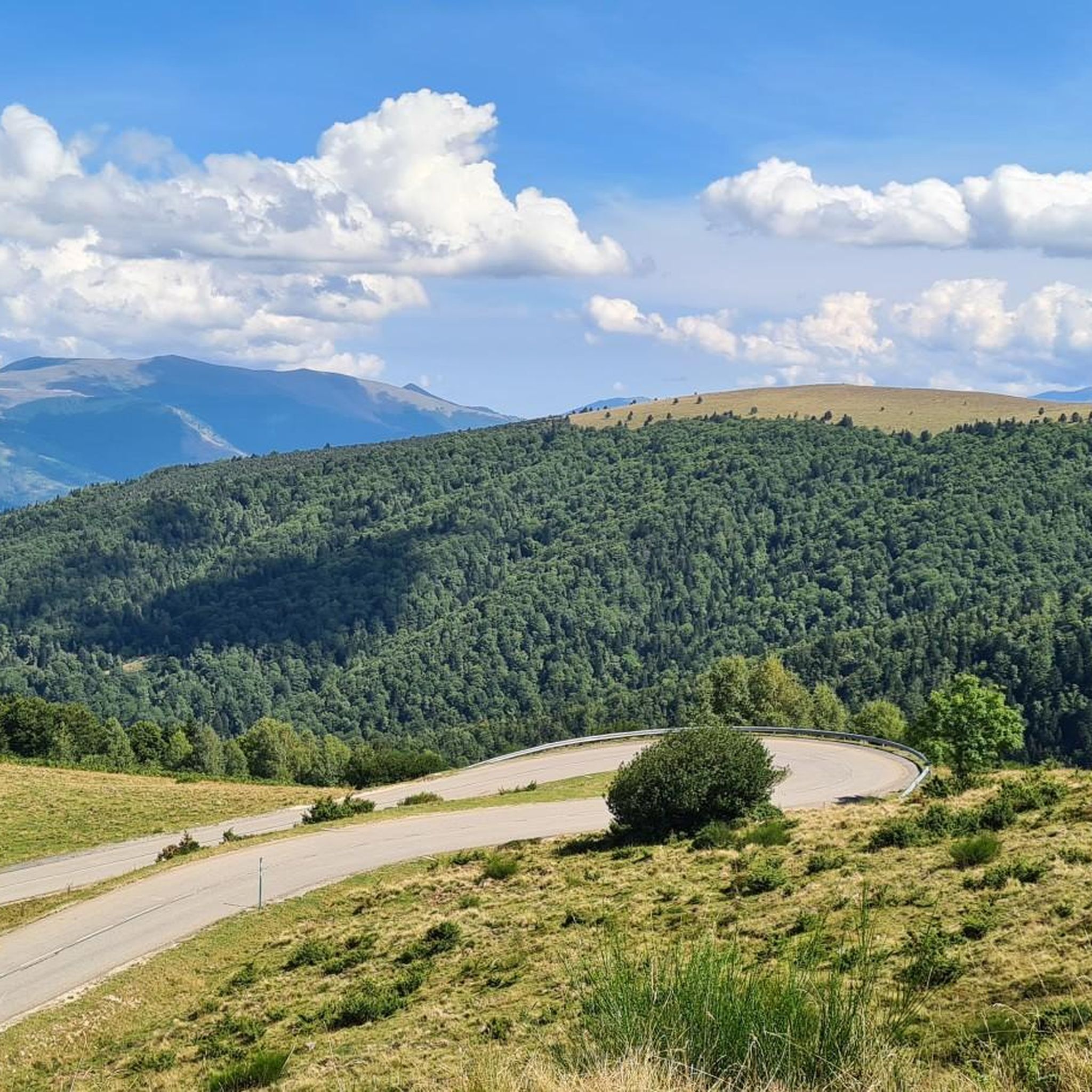
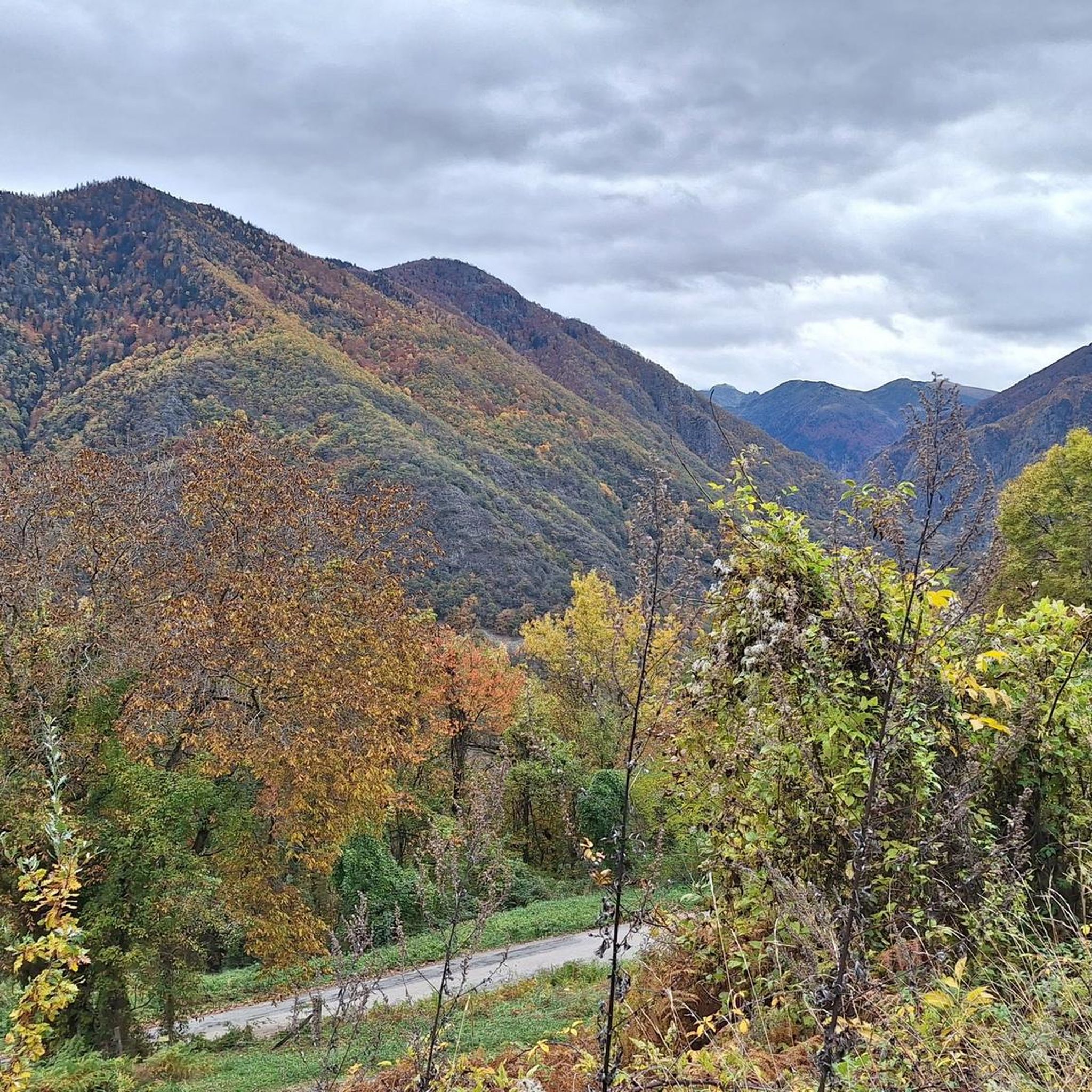
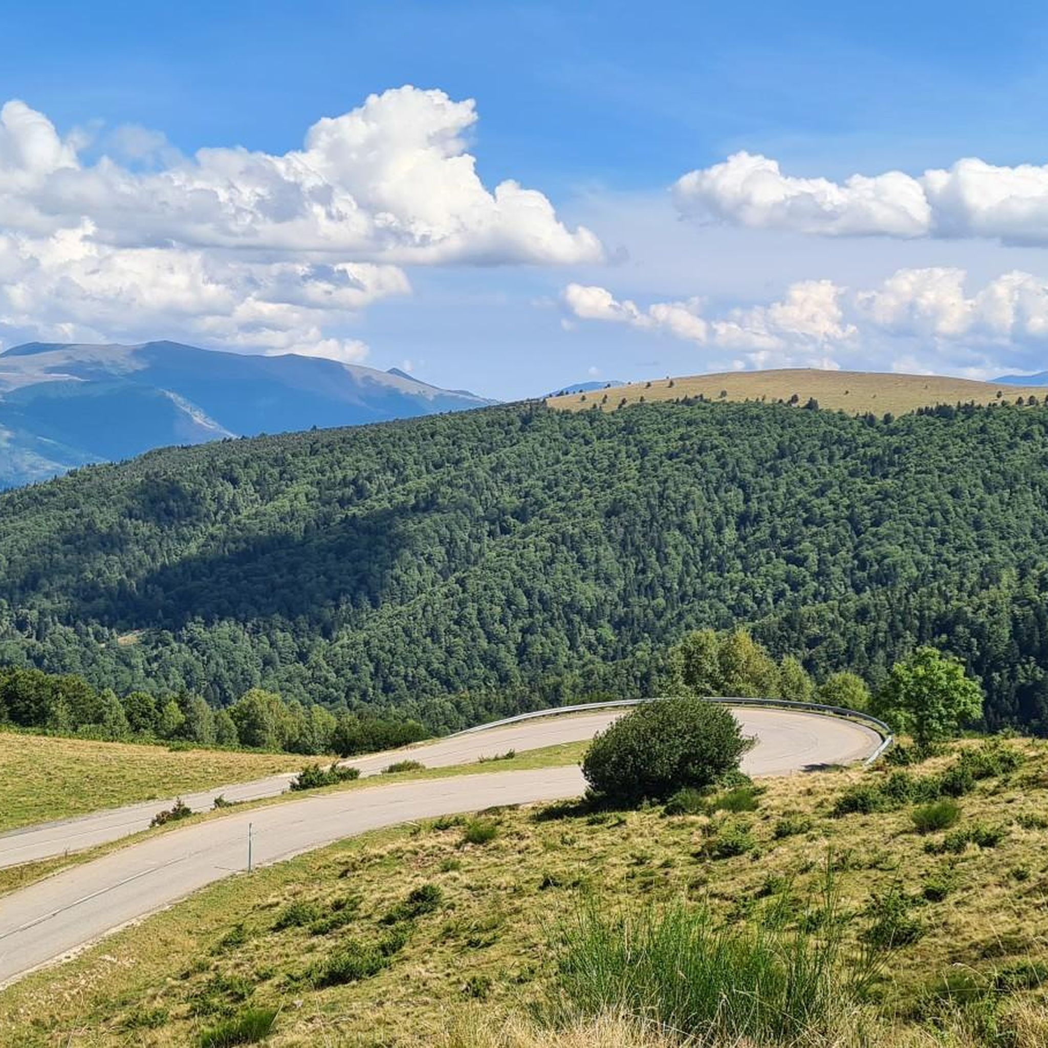

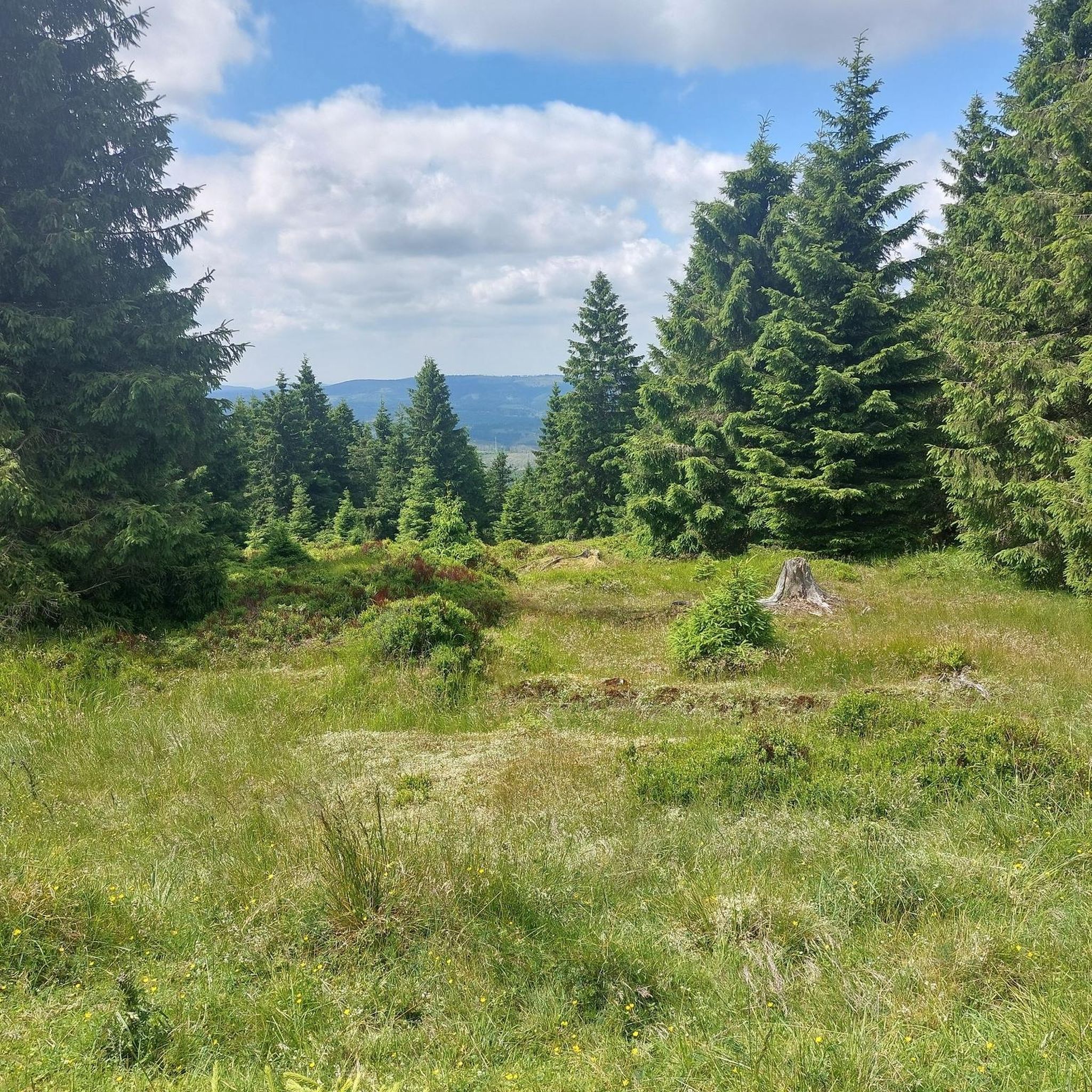

Tips from the Community

Nice village, especially the starting point for beautiful bike rides. And then stop by the grocery store for a homemade apple tart, the best I've ever eaten!
0
0
The start begins strong, it sets the tone: a climb with a nice slope, but not extreme either!
0
0

A heavenly place to enjoy the Pyrenees in their full glory. Ideal for a family picnic in spring or summer. Also, as there is a bar - restaurant, it is ideal if you want to have a drink on the terrace.
0
0
It is a MUST in the Pyrenees, without a doubt, that should be included in any route that crosses the Pyrenees from side to side. Either of its slopes 2 is spectacular and tough. The views from its summit are wonderful, feeling the wild side of the Pyrenees. Of course, once at the summit of this pass... you have to descend to the Étang de Lers and enjoy a peaceful rest on the shores of the lake. It is a pass that has been part of the Tour de France route on several occasions, although always far from the finish line. The first professional rider to crest it in the lead was the unforgettable Marco Pantani in 1995.
0
0

I liked the climb from the north side (from Massat), very scenic and alpine landscapes towards the end at the étang de Lers
0
0


Short but difficult, plus the heat...I had raindrops 🥵
0
0

very nice pass, first 5 km a little difficult but nothing more, then very smooth and very beautiful view
0
0
Frequently Asked Questions
How many road cycling routes are available around Larcat?
There are over 25 road cycling routes around Larcat, offering a variety of experiences for different skill levels. You'll find options ranging from moderate to very challenging, with significant elevation changes characteristic of the Pyrenees.
What types of terrain can I expect on road cycling routes in Larcat?
The terrain around Larcat is highly varied, featuring mountainous topography with altitudes ranging from 686m to 1840m. You'll encounter winding roads through valleys, forested areas providing shade, and open fields with expansive views. The region's diverse hydrography, including streams like the Ubals and Bauziels, also contributes to lush landscapes along some routes.
Are there road cycling routes suitable for beginners or families in Larcat?
While Larcat is known for its challenging mountainous terrain, there are 8 routes classified as easy and 7 as moderate. These routes often feature winding roads through valleys with less extreme elevation changes, making them more accessible for those new to road cycling or looking for a more relaxed ride. For example, the Foix – Notre-Dame de Sabart Chapel loop from Ornolac-Ussat-les-Bains is a moderate option offering scenic views.
What are some challenging road cycling routes for experienced riders?
Experienced road cyclists will find plenty of challenging options, with 13 routes classified as difficult. These often involve significant climbs and descents. Notable difficult routes include the Plateau de Beille – Les Cabannes loop from Aston, which features substantial climbs, and the View of the Pyrenees – Plateau de Beille loop from Les Cabannes, known for its considerable elevation gain.
What is the best time of year for road cycling in Larcat?
Given Larcat's mountainous climate within the Pyrenees, the warmer months, typically from late spring to early autumn, are ideal for road cycling. During these periods, you'll experience more favorable weather conditions and clearer roads. The region can experience colder temperatures and snow in winter, especially at higher altitudes, making cycling more challenging or impossible.
Are there any circular road cycling routes around Larcat?
Yes, many of the road cycling routes around Larcat are designed as loops, allowing you to start and finish at the same point. Examples include the popular Plateau de Beille – Les Cabannes loop from Aston and the Devil's Bridge – Roquefixade view loop from Les Cabannes.
What attractions or viewpoints can I see along the road cycling routes?
Road cycling routes around Larcat offer access to stunning natural and historical sights. You can enjoy panoramic views from elevated points, such as the path to the Saint-Barthélémy chapel, offering 180-degree vistas. Specific attractions include the Notre-Dame de Sabart Chapel, the challenging Plateau de Beille Climb, and various viewpoints like View of Lordat castle and View of the summit of Crouzille.
What do other road cyclists say about the routes in Larcat?
The road cycling routes in Larcat are highly regarded by the komoot community, with an average rating of 4.6 stars from over 100 reviews. Cyclists often praise the region's challenging climbs, breathtaking Pyrenean views, and the variety of terrain that makes each ride unique. Over 6,000 road cyclists have used komoot to explore this area.
Are there opportunities for rest or refreshments along the routes?
While specific cafes are not detailed for every route, Larcat is a typical mountain village, and nearby towns like Ax-les-Thermes (approximately 16 km away) offer amenities for rest and recuperation. Many routes pass through or near other communes, providing opportunities to find local establishments.
Is public transport available to access road cycling routes in Larcat?
Larcat is located in the Ariège department, and while specific public transport links directly to trailheads might be limited, regional bus services or train connections to larger towns like Tarascon-sur-Ariège or Ax-les-Thermes could provide access points. From these towns, you might need to cycle to the starting points of the routes.
Where can I find parking for road cycling routes in Larcat?
As a small commune, Larcat and surrounding villages typically offer public parking areas, often near village centers or trailheads. For routes starting from specific locations like Aston or Les Cabannes, you can usually find designated parking spots. It's advisable to check local signage upon arrival.
What are the typical distances and durations for road cycling routes in Larcat?
The routes vary significantly in length and duration. For example, the Plateau de Beille – Les Cabannes loop from Aston is about 32 km (20 miles) and takes approximately 2 hours 20 minutes. Longer routes, such as the Devil's Bridge – Roquefixade view loop from Les Cabannes, can be up to 78 km (48.7 miles) and take around 4 hours 28 minutes, depending on your pace and fitness level.
Most popular attractions around Larcat

Get inspired with the komoot mobile app


Explore more
Browse the best Road cycling routes in other regions.
