The best running trails around Lostallo
4.3
(4)
714
runners
59
runs
Jogging around Lostallo offers diverse landscapes within the Mesolcina Valley in Graubünden, Switzerland. The region features a relatively flat valley floor at 426 meters above sea level, where the Moesa River meanders, surrounded by mountains. Jogging routes here range from easier paths with minimal elevation gain to challenging trails with significant ascents, catering to various fitness levels. The terrain includes chestnut woods, riverbanks, and floodplains.
Best jogging routes around Lostallo
- The most popular jogging route is Via Panoramica – loop…
Last updated: July 6, 2026
4
runners
17.0km
05:02
1,770m
1,780m
This difficult 10.6-mile loop, listed for jogging, is better suited for experienced hikers exploring Val Cama and Val Leggia.
18.6km
06:04
1,690m
1,690m
Hard run. Very good fitness required. Sure-footedness, sturdy shoes and alpine experience required.

Sign up for free
19.9km
06:24
2,070m
2,070m
Jog the difficult 12.4-mile Val Cama Trail in Parco Val Calanca, gaining 6786 feet to stunning Lake Cama through ancient forests.
28
runners
12.2km
02:33
930m
930m
Hard run. Very good fitness required. Sure-footedness, sturdy shoes and alpine experience required.
13
runners
9.36km
01:01
120m
120m
Moderate run. Good fitness required. Mostly paved surfaces. Suitable for all skill levels.
Get access to more routes and recommendations from other explorers.
Sign up for free
Already have an account?
Our route recommendations are based on thousands of hikes, rides, and runs completed by other people on komoot.
Start today with a free account
Your next adventure awaits.
Login or Signup

Tips from the Community

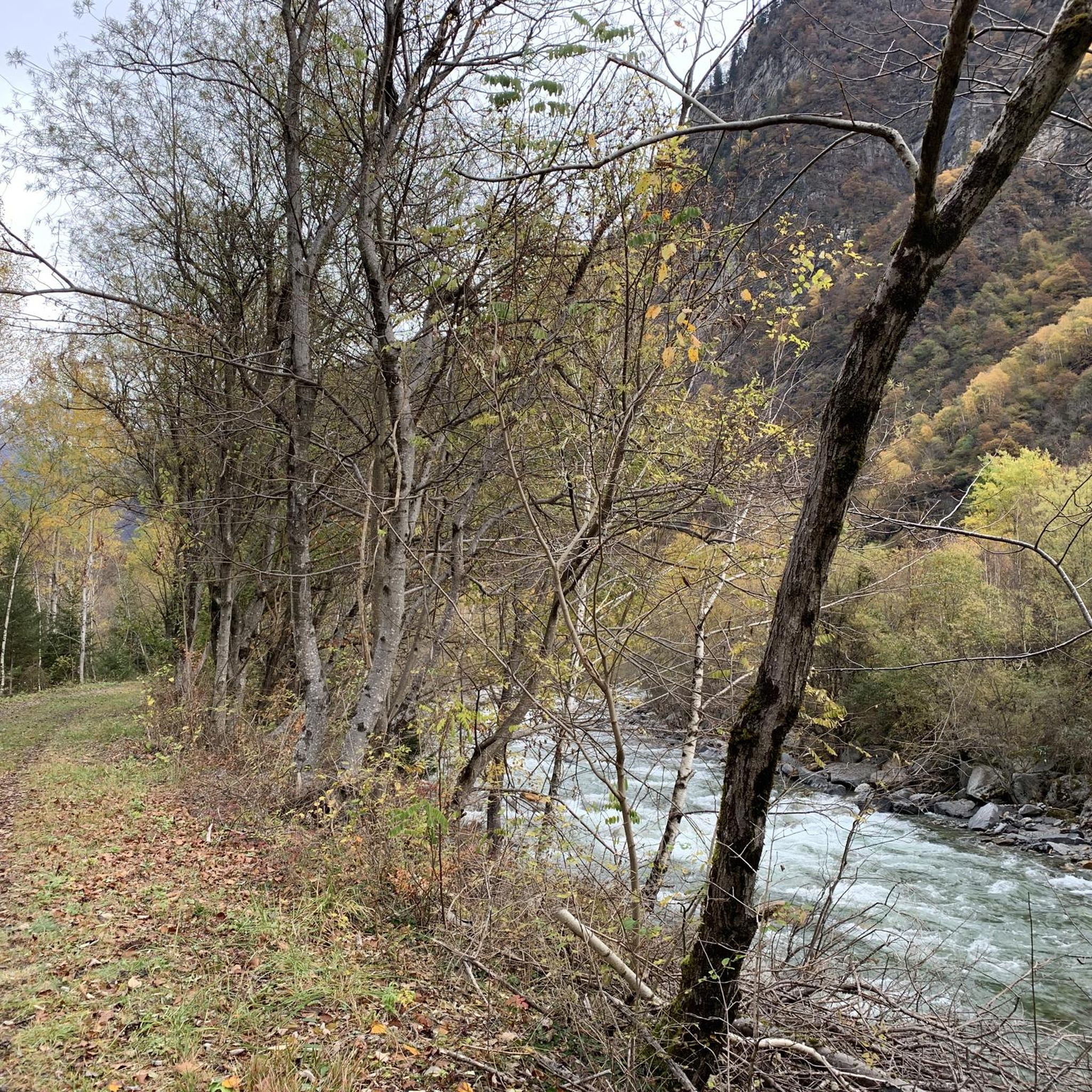
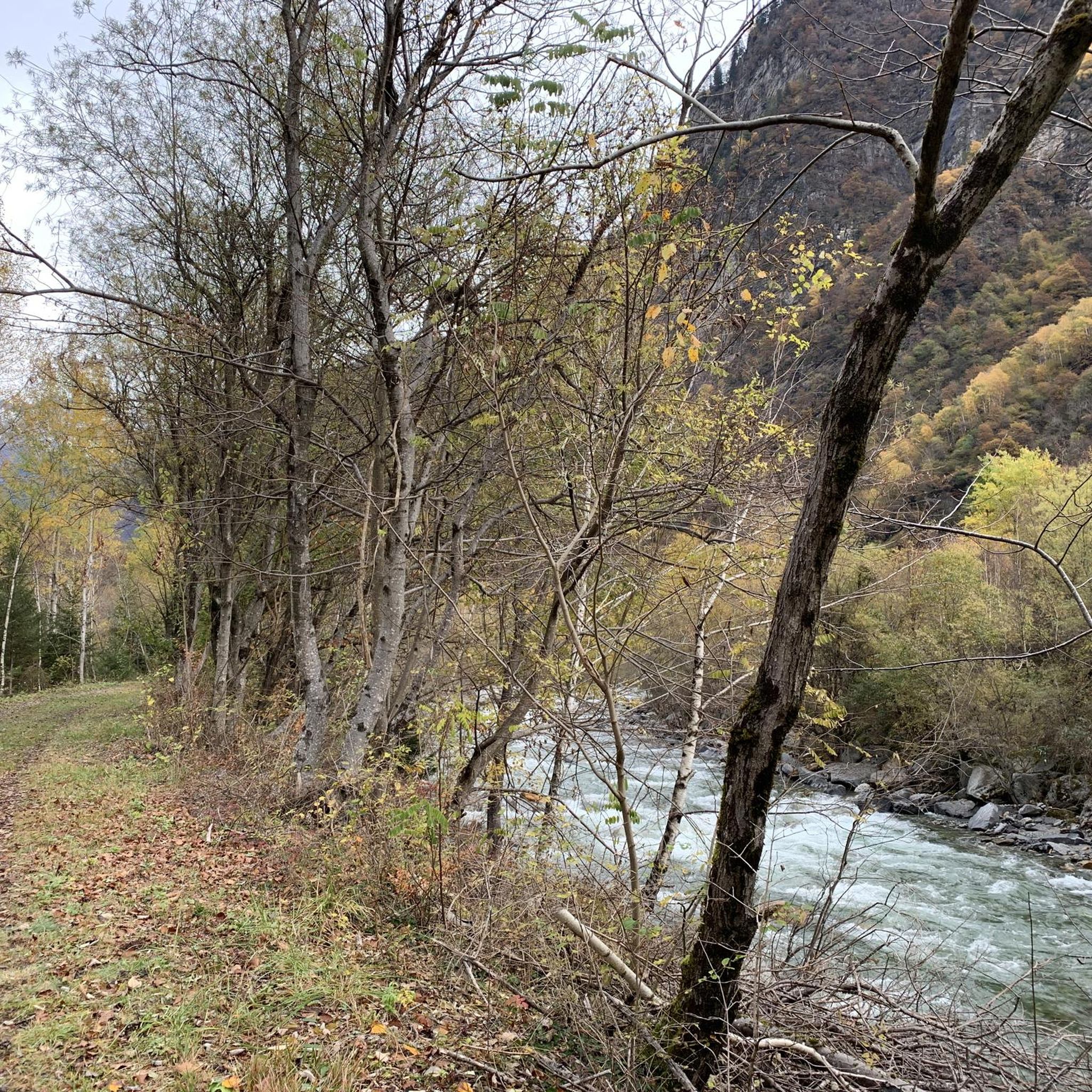
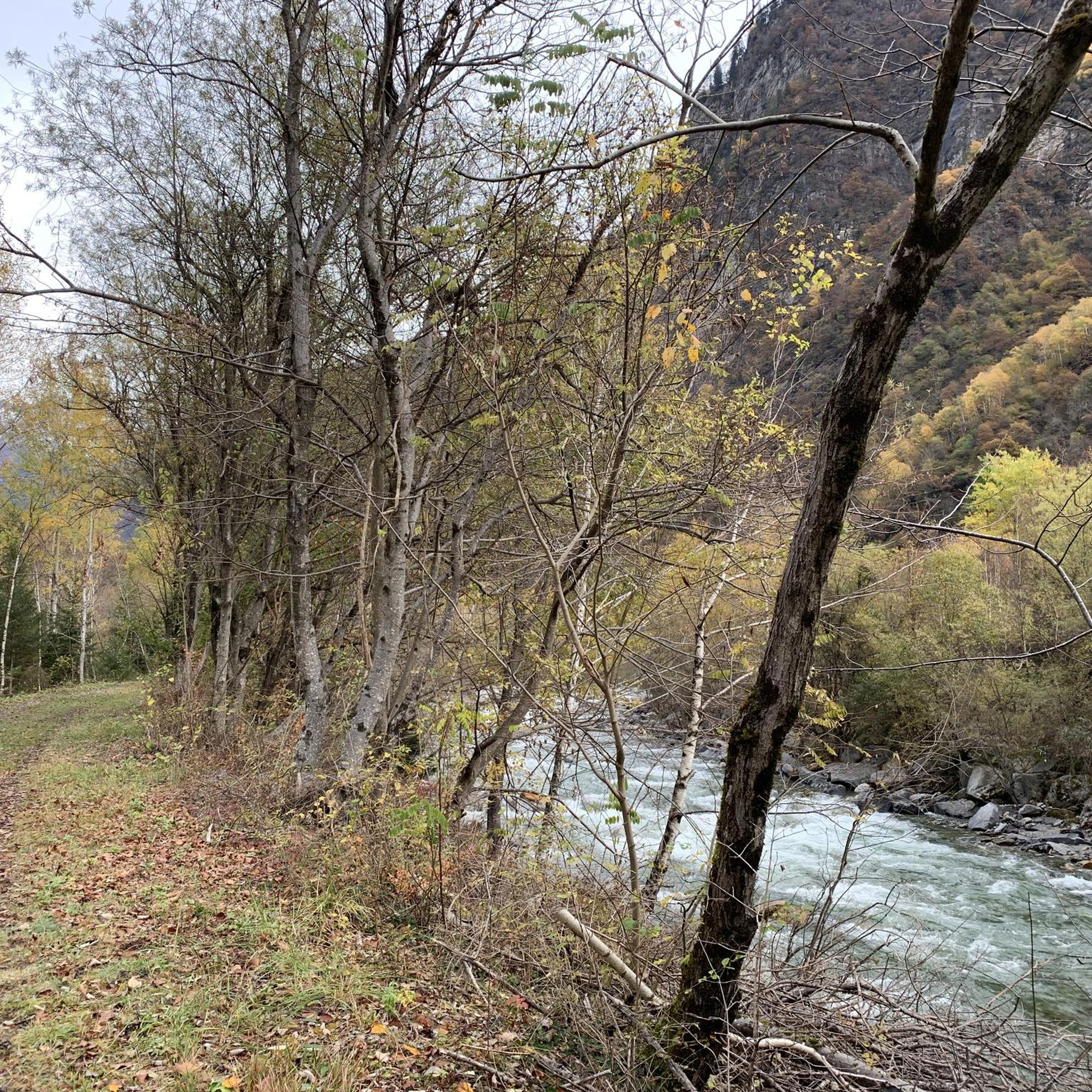
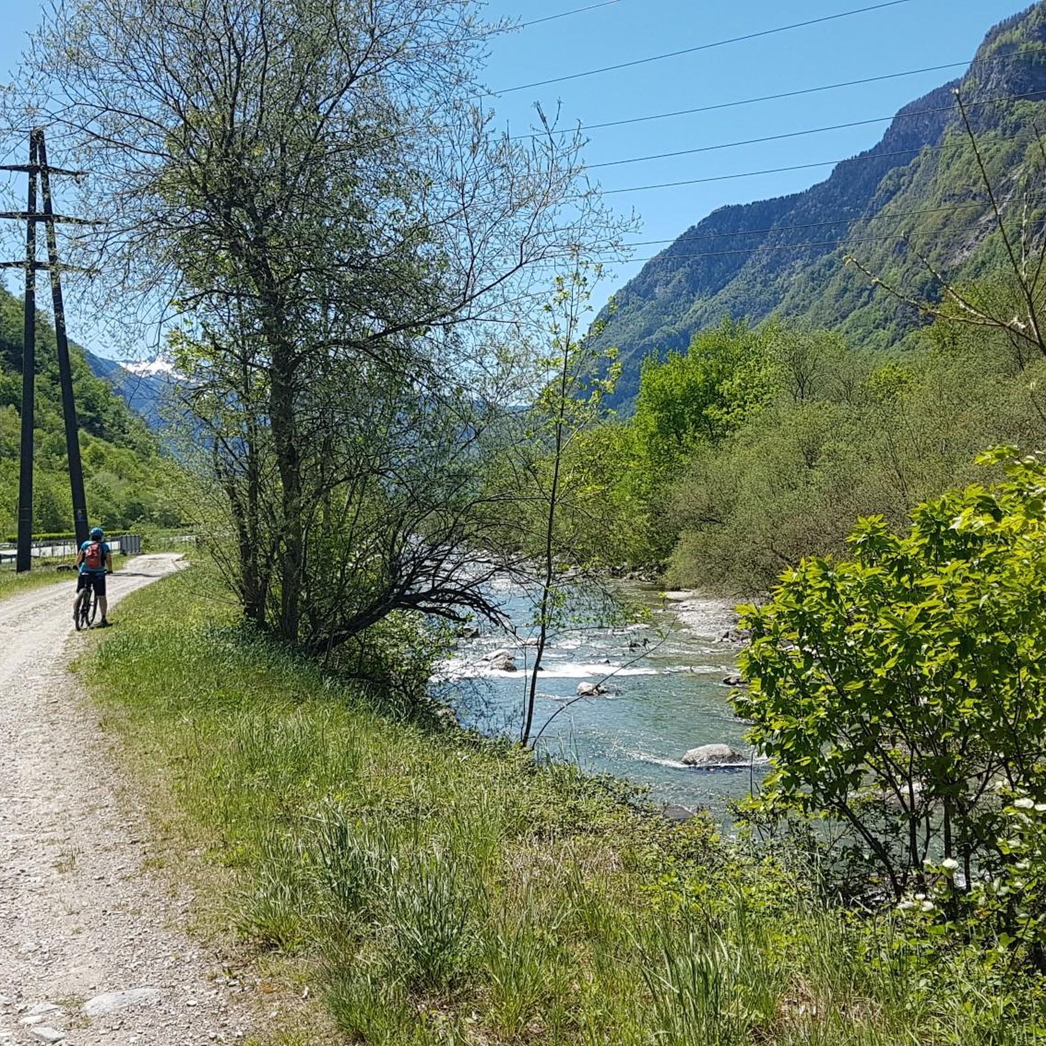
Picturesque place in the middle of the valley.
0
0

Directly on the Lagh de Cama lies the Capanna Miralago at 1,265 meters – a simple, managed mountain hut in a beautiful location by the water. An ideal place for a break or an overnight stay. The hut is open during the summer season from approximately June to the end of August and offers around 30 sleeping places as well as simple catering.
0
0
The Passo del Segnale is located at around 2,100 meters and is easily recognizable from afar by a distinctive wooden pole with an X-shaped cross. It connects the Val Cama with the Val Leggia and is an important pass between the two valleys – with beautiful views in both directions.
0
0

The path passes next to a suggestive waterfall that forms from the Ria di Val Grona.
0
0
The path passes under two gigantic boulders that form a short natural tunnel, called Sass de la vegia.
0
0
The Passo del Segnale di Vazzola (2108 m) allows you to pass from the Val di Cama to the Val di Leggia and vice versa.
0
0
The Cama lake is located at 1,265 meters. The lake remains frozen approximately from mid-November to the end of April, and is enclosed in a rocky basin closed downstream, formed by Piz d’Ugin and Piz de Cressim.
0
0
The Bocchetta d'Agnon (or di Cama), at an altitude of 2269, allows you to reach the Valle di Cama from Val Darengo. Since the 19th century, the route has been used by smugglers, the spalloni, for their border trade between Italy and Switzerland.
2
0
Frequently Asked Questions
How many running routes are available around Lostallo?
Lostallo offers a good selection of running routes, with over 35 trails available for exploration. These routes cater to various fitness levels, from easier paths to more challenging mountain runs.
Are there easy jogging routes suitable for beginners in Lostallo?
Yes, Lostallo has several easy jogging routes perfect for beginners or those looking for a relaxed run. These paths often feature minimal elevation gain and can be found along the valley floor, sometimes with paved surfaces. There are 3 easy routes to choose from.
What kind of terrain can I expect on the jogging trails in Lostallo?
The terrain around Lostallo is quite varied. You'll find paths along the relatively flat valley floor, meandering alongside the Moesa River, through beautiful chestnut woods, and across the ecologically significant Rosera Floodplain. More challenging routes ascend into the surrounding mountains, offering diverse landscapes.
Are there any circular running routes in the Lostallo area?
Yes, many of the running routes in Lostallo are designed as loops, allowing you to start and finish in the same location. For example, the challenging Landarenca Loop Trail offers a scenic circular experience.
Can I bring my dog on the jogging routes in Lostallo?
Many trails in the Lostallo region are dog-friendly, allowing you to enjoy your run with your canine companion. However, it's always recommended to keep your dog on a leash, especially in areas with wildlife or near agricultural land, and to check specific route regulations beforehand.
What are some scenic viewpoints or natural attractions I might encounter on a run?
Lostallo's routes offer breathtaking natural beauty. You can expect stunning views of the Mesolcina Valley and surrounding mountains like Piz di Groven. The Via Panoramica – loop run in Valle Calanca is known for its panoramic vistas. You might also pass by the Moesa River, Lago di Cama, or even the Augio Waterfall. Some paths, like the 'Sass de la Vegia', even feature natural tunnels formed by gigantic boulders.
Are there any historical or unique landmarks along the running paths?
Beyond natural beauty, you might encounter historical elements. The region features ancient cup stones, offering a glimpse into its past. Additionally, the Moesa River Trail with Tunnels and Stone Viaduct offers an interesting mix of natural and man-made structures.
What do other runners enjoy most about jogging in Lostallo?
The running routes in Lostallo are highly rated by the komoot community, with an average score of 4.7 stars. Runners often praise the diverse landscapes, from the tranquil riverbanks and chestnut woods to the challenging mountain ascents, and the stunning panoramic views of the Valle Calanca.
Are there any routes that pass by lakes or rivers?
Yes, the Moesa River is a prominent natural feature, and many paths run along its banks. The Lake Cama, Val Cama, and Val Leggia Loop specifically includes the beautiful Lago di Cama, offering a refreshing highlight during your run.
Are there any particularly challenging running routes for experienced runners?
Absolutely. Lostallo offers numerous challenging routes for experienced runners. For instance, the Pizzo di Claro and Laghetto di Canèe Loop is a difficult 23.7 km path with over 2000 meters of elevation gain, demanding very good fitness and sure-footedness.
Is public transport accessible to reach the jogging routes?
Lostallo is situated in the Mesolcina Valley, which generally has public transport connections. While specific route access points vary, it's advisable to check local bus schedules to see which villages or trailheads are reachable by public transport for convenient access to your chosen running route.
Are there any routes suitable for families with children?
For families, the easier routes along the valley floor or through the chestnut woods are generally most suitable. These paths often have less elevation gain and are less technical, providing a pleasant experience for all ages. Look for routes described as 'easy' on komoot.
Most popular attractions around Lostallo

Get inspired with the komoot mobile app


Explore more
Browse the best Running Trails & Routes in other regions.
