The best running trails around Maladers
4.5
(136)
5,935
runners
226
runs
Jogging routes around Maladers offer access to diverse alpine landscapes and varied trail networks. The region is characterized by prominent features like Mittenberg Mountain, providing panoramic views of the Chur Rhine Valley, and sections of the Schanfigger Höhenweg. Runners can explore a mix of forest roads, hilly panorama trails, and natural environments including flower meadows and forested areas. This setting provides quick access to nature, making it ideal for combining a jogging routine with impressive surroundings.
Best jogging routes around…
Last updated: August 18, 2026
3.5
(2)
104
runners
Hard run. Very good fitness required. Mostly accessible paths. Some sure footedness required.
5.0
(1)
69
runners
Hard run. Very good fitness required. Sure-footedness, sturdy shoes and alpine experience required.

Sign up for free
4.0
(1)
111
runners
Moderate run. Good fitness required. Mostly paved surfaces. Suitable for all skill levels.
5.0
(1)
47
runners
17.9km
03:03
1,280m
1,280m
Hard run. Very good fitness required. Sure-footedness, sturdy shoes and alpine experience required.
5.0
(1)
49
runners
Easy run. Great for any fitness level. Mostly paved surfaces. Suitable for all skill levels.
Get access to more routes and recommendations from other explorers.
Sign up for free
Already have an account?
Our route recommendations are based on thousands of hikes, rides, and runs completed by other people on komoot.
Start today with a free account
Your next adventure awaits.
Login or Signup
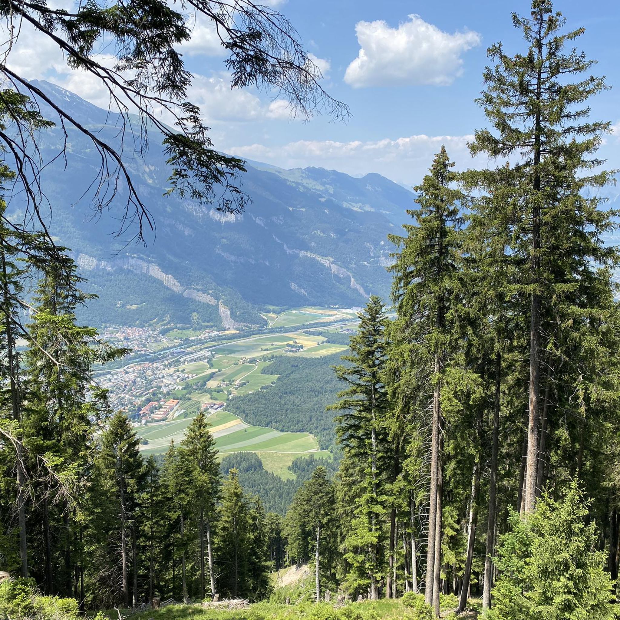
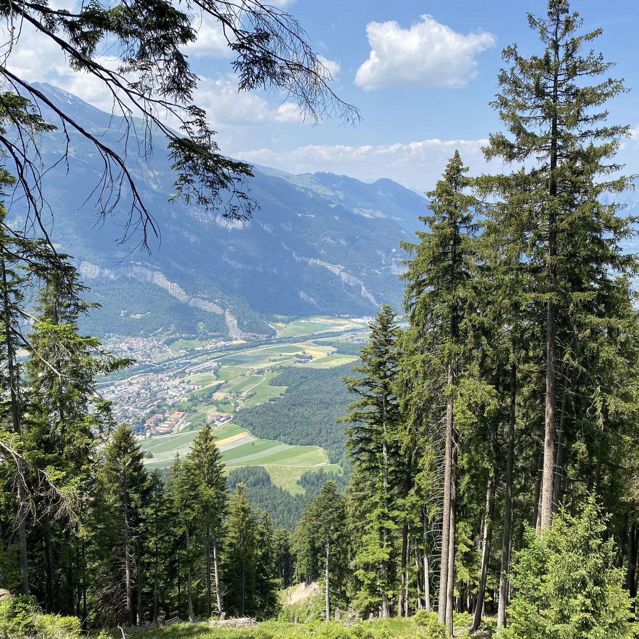

Tips from the Community

Chur railway station is the main station in the Swiss city of Chur. Opened in 1858, the station is the most important railway junction in Graubünden due to the transition from the standard-gauge SBB to the narrow-gauge Rhaetian Railway. see Wikipedia
0
0


Luftseilbahn Chur - Känzeli (Brambrüesch) from 1957, Chur The Chur-Brambrüesch mountain railway now consisted, as planned, of two sections, with the first section comprising a cable car and the second section a gondola lift with two-person cabins. The construction of the cable car was awarded to the Bern works of Von Roll AG, while the gondola lift was built by the company Giovanola Frères in Monthey. After initial preparatory work in the autumn of 1956, actual construction could begin in the spring of 1957. The official commissioning of the Brambrüeschbahn took place on December 14, 1957. The cable car of the first Chur-Känzeli section has remained largely unchanged to this day, while the gondola lift was dismantled in 1998 and replaced by a second-hand four-person gondola lift of the Von Roll VR 102 type. However, the concession for the cable car also expires at the end of 2006, and there is also a project here for a replacement facility. The preference was actually for an extension of the existing gondola lift to the valley on the route of the cable car to be dismantled, whereby the Känzeli station would have become an intermediate station with cabin passage. But various objections led this project into a dead end. The reason: a gondola lift could not ascend as steeply from the valley station as a cable car; rather, the route would have to run over pylons at a low altitude over the area of the Stadthalle, private properties, and then along the steep mountainside. To avoid a costly dispute with the owners of the affected properties, the construction of a new cable car with a transport capacity of 600 to 800 people per hour is therefore being discussed. This would again align both sections in terms of their capacities. Only the change at Känzeli will not be spared for passengers of the Brambrüeschbahn in the future. Text / Source: seilbahn-nostalgie.ch https://www.seilbahn-nostalgie.ch/brambruesch.html
14
0
Italian bridge since October 28, 2020, Chur Deck and arch 175 tons of structural steel were used, while the two abutment structures used a total of 430 m3 of reinforced concrete and micropiles with a total length of 540 m. With this new cycle and pedestrian bridge, the city of Chur is richer by an architectural attraction. Overall, urban added value is achieved, meaning, in addition to meeting the traffic requirements, a high level of attractiveness for tourists, among others, and another calling card for Chur Text / Source: City Engineer Roland Arpagaus https://www.chur.ch/
14
0

Also recommended in winter
0
0

A true highlight on this route is the St. Luzi Chapel. It invites you to pause and take a break. Several benches are set up outside. The chapel is apparently open during the day.
1
0


A short detour from the old town over the Italian Bridge is particularly worthwhile if you are on the trail of Clà Ferrovia. One of his QR codes is located here. On which river bank did he place it?
2
0
Frequently Asked Questions
How many running routes are available around Maladers?
There are over 230 running routes around Maladers, offering a wide variety of options for all skill levels. This includes approximately 16 easy routes, 148 moderate routes, and 68 difficult routes.
What kind of terrain can I expect on the jogging trails in Maladers?
The jogging trails around Maladers feature diverse terrain, from forest roads and hilly panorama trails to natural environments with flower meadows and forested areas like the Tüchelwald and Fürstenwald. You'll find a mix of surfaces and inclines, including uphill sections, providing varied running experiences.
Are there any running routes with panoramic views near Maladers?
Yes, many routes offer stunning panoramic views. For instance, the View of Chur from Mittenberg – Old Town and St. Martin's Church, Chur loop from Chur provides excellent vistas of the Chur Rhine Valley and surrounding mountains. The Mittenberg itself is a prominent feature known for its expansive views.
Are there any easy running routes suitable for beginners or a relaxed jog?
While many routes offer varied terrain, you can find easier options. The region has about 16 routes classified as easy. For a scenic and less challenging run, consider paths that follow the Rhine, such as the Pardisa Bridge over the Rhine – Rhine at Pardisla Bridge loop from Chur, which offers a moderate but relatively flat experience along the river.
What are some notable landmarks or attractions I might see while running in the Maladers area?
Along your runs, you might encounter several interesting points. The Dreibündenstein Monument is a historical landmark, and the Weisshorn Summit (2,653 m) offers a majestic backdrop. You could also pass by the Ochsenalp Mountain Hut or sections of the historic Polenweg between Chur and Thusis.
Are there any circular running routes around Maladers?
Yes, the region offers several circular running routes. The Fountain loop from Chur Altstadt is a longer circular trail through varied terrain. Additionally, the 'Mittenberg circuit' is a well-known round hike that passes by Maladers, offering a varied experience for runners.
Can I find fresh water sources along the running trails?
Yes, along trails leading to areas like Mittenberg, you can find fountains with fresh spring water. These are convenient and refreshing amenities for runners during their outings.
What do other runners say about the trails in Maladers?
The running routes in Maladers are highly rated by the komoot community, with an average score of 4.4 stars from over 100 reviews. Runners often praise the diverse alpine landscapes, varied trail networks, and the quick access to nature from the urban area of Chur.
Are there any running routes that are easily accessible by public transport?
Maladers' location, nestled within the mountainous region, provides quick access to nature from the urban area of Chur. Many routes, especially those starting from or near Chur, are generally well-connected by public transport, allowing for convenient access to the trailheads.
Are there any challenging running routes for experienced trail runners?
Absolutely. The region boasts 68 routes classified as difficult, catering to experienced trail runners. Trails leading to and around Mittenberg Mountain often include significant uphill sections. The View of Chur from Mittenberg – Old Town and St. Martin's Church, Chur loop from Chur is one such difficult route, as is the longer Fountain loop from Chur Altstadt.
What is the best time of year for running in Maladers?
Maladers offers excellent conditions for outdoor activities throughout much of the year. Spring and autumn provide pleasant temperatures and vibrant scenery with flower meadows and changing foliage. Summer is also popular, though some higher-altitude trails might be more exposed. Winter running is possible, but specific winter-maintained trails should be checked, as some routes may be covered in snow.
Are there any running routes that follow a river or offer waterside views?
Yes, you can find routes that follow the Rhine River, providing a scenic waterside experience. The Pardisa Bridge over the Rhine – Rhine at Pardisla Bridge loop from Chur is a moderate path that follows the Rhine, offering a pleasant and picturesque run.
Most popular attractions around Maladers

Get inspired with the komoot mobile app


Explore more
Browse the best Running Trails & Routes in other regions.
