The best mountain hikes around Seewis im Prättigau
4.8
(373)
2,890
hikers
103
hikes
Mountaineering around Seewis im Prättigau is characterized by its location within the Rätikon mountain range, offering diverse alpine landscapes. The region features prominent peaks such as Schesaplana (2,965 m) and Vilan (2,375 m), alongside the scenic Lake Lüner. These natural features provide a variety of challenging and moderate mountaineering routes.
Best mountaineering routes around Seewis im Prättigau
- The most popular mountaineering route is Lake Lüner – Schesaplana Summit loop from Lünersee, a difficult 8.8 miles (14.2 km) trail that…
Last updated: October 10, 2026
4.8
(52)
372
hikers
14.2km
08:11
1,350m
1,350m
Hard mountaineering route. Very good fitness required. Sure-footedness, sturdy shoes and alpine experience required.
4.9
(40)
252
hikers
12.7km
07:22
1,060m
1,060m
Hard mountaineering route. Very good fitness required. Sure-footedness, sturdy shoes and alpine experience required.

4.8
(17)
70
hikers
14.7km
06:50
960m
960m
Hard mountaineering route. Very good fitness required. Sure-footedness, sturdy shoes and alpine experience required.
4.6
(12)
75
hikers
9.98km
05:05
810m
810m
Hard mountaineering route. Very good fitness required. Sure-footedness, sturdy shoes and alpine experience required.
5.0
(5)
33
hikers
8.12km
04:32
750m
750m
Hard mountaineering route. Good fitness required. Sure-footedness, sturdy shoes and alpine experience required.
Get access to more routes and recommendations from other explorers.
Already have an account?
Our route recommendations are based on thousands of hikes, rides, and runs completed by other people on komoot.
Start today with a free account
Your next adventure awaits.
Popular around Seewis im Prättigau
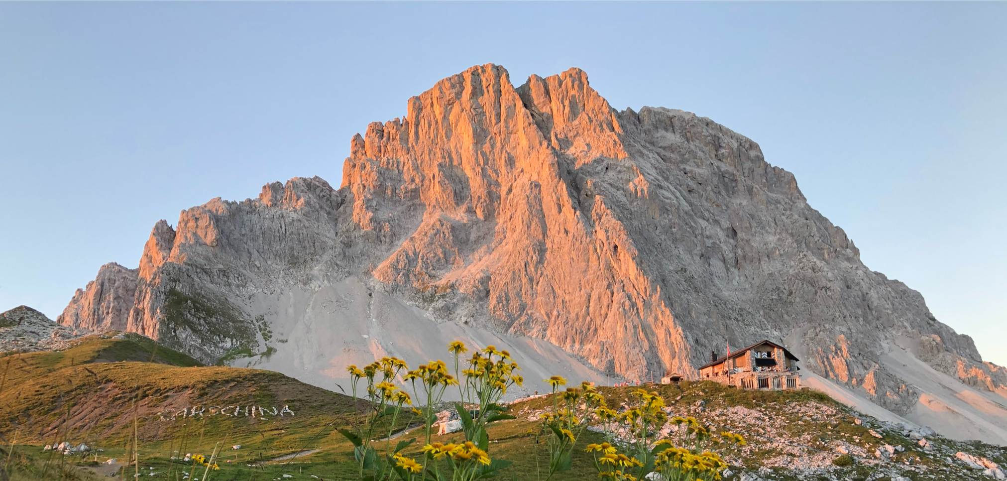
Prättigau High Trail – on the Rätikon's sunny side
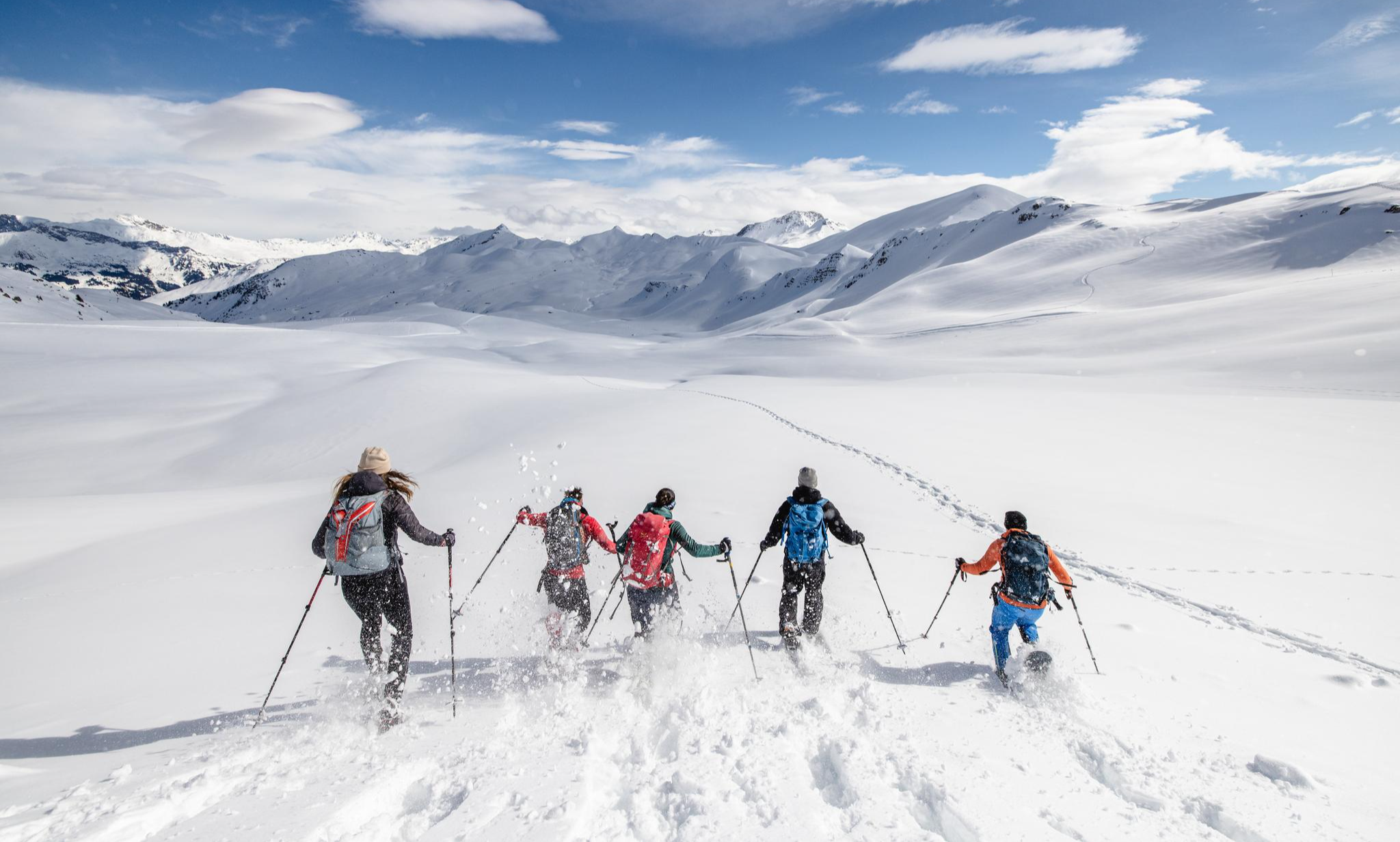
Snowy fun and hut cuisine – Winter Adventures in the Prättigau
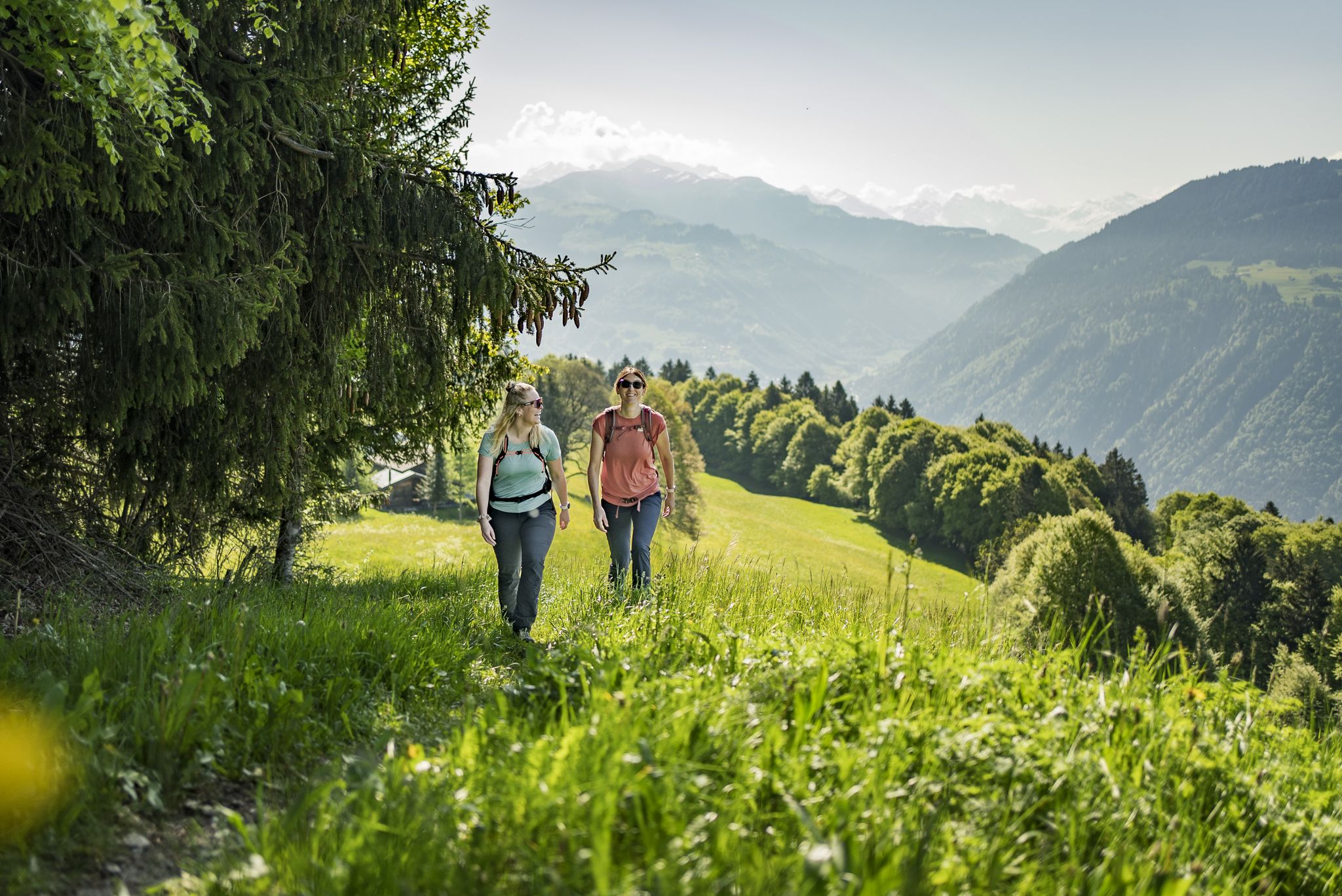
Step into the hiking season – spring routes in Graubünden
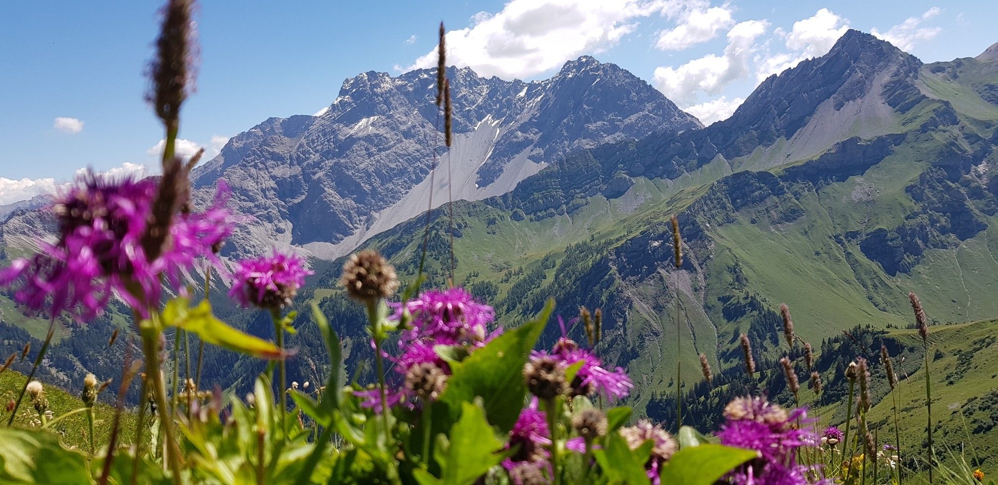
Trans-Rätikon – an adventure in the Tri-Border Region
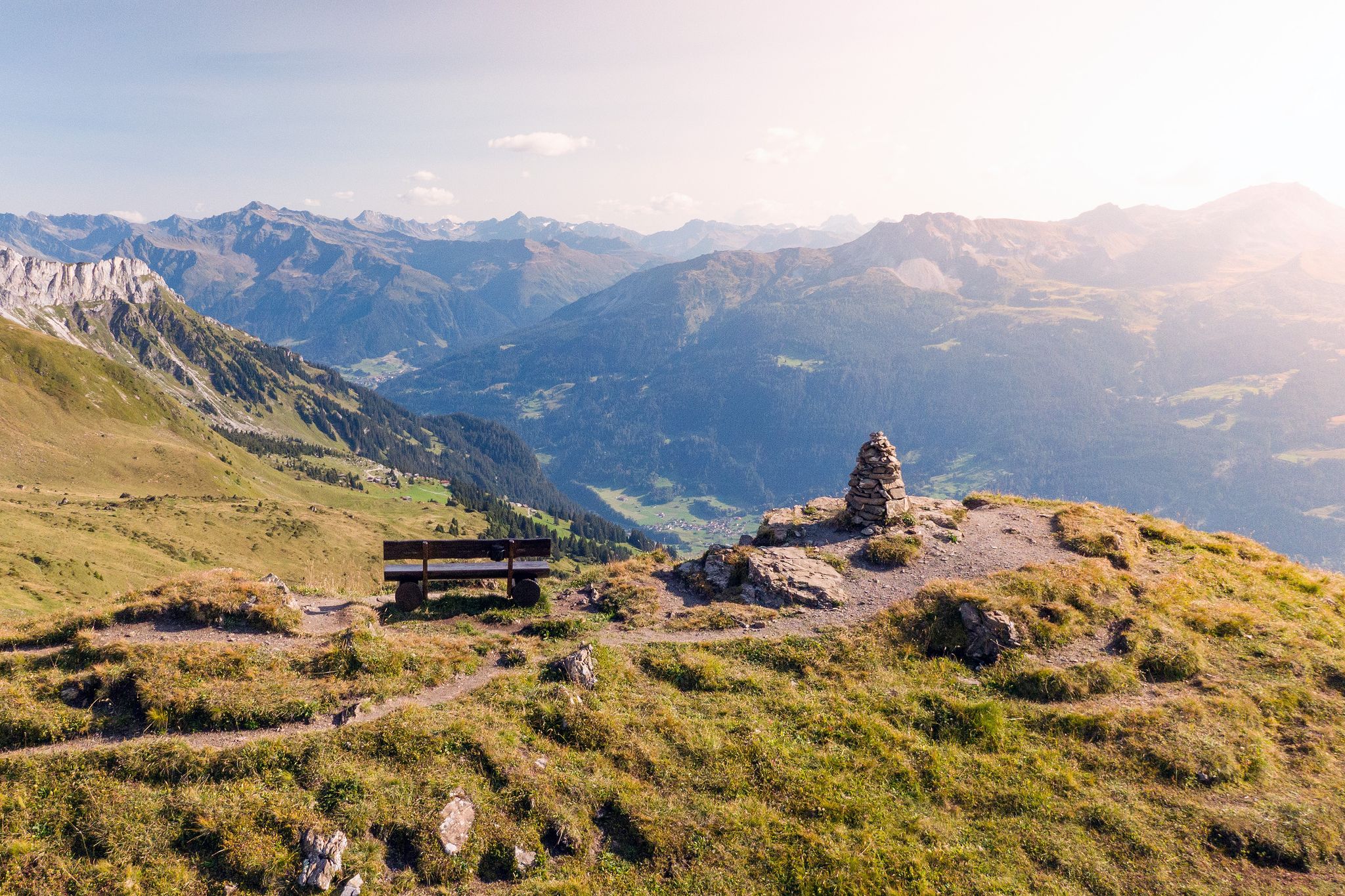
Prättigau High Trail – discover the sunny side of the Rätikon
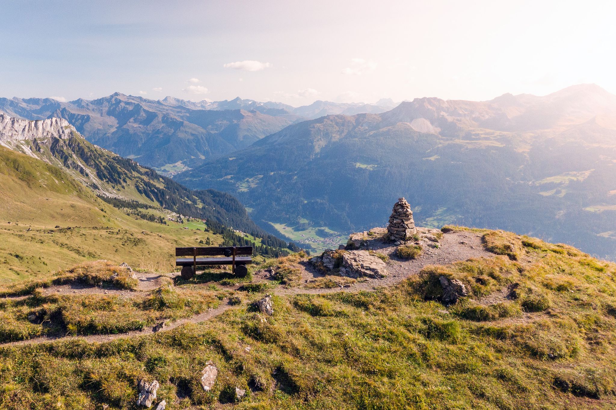
Long-distance hiking in the Grisons — 3 routes in Switzerland
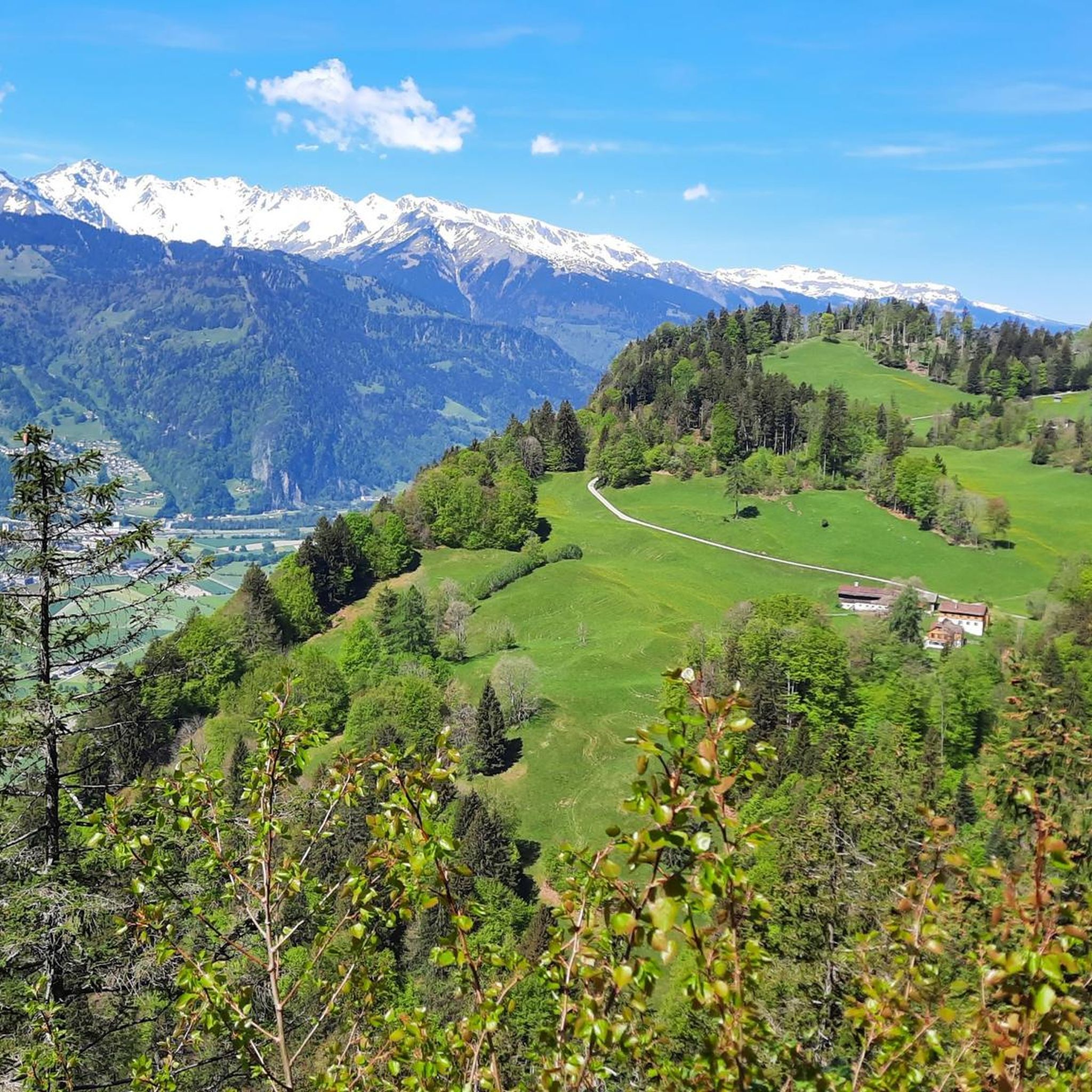
Hiking around Seewis im Prättigau
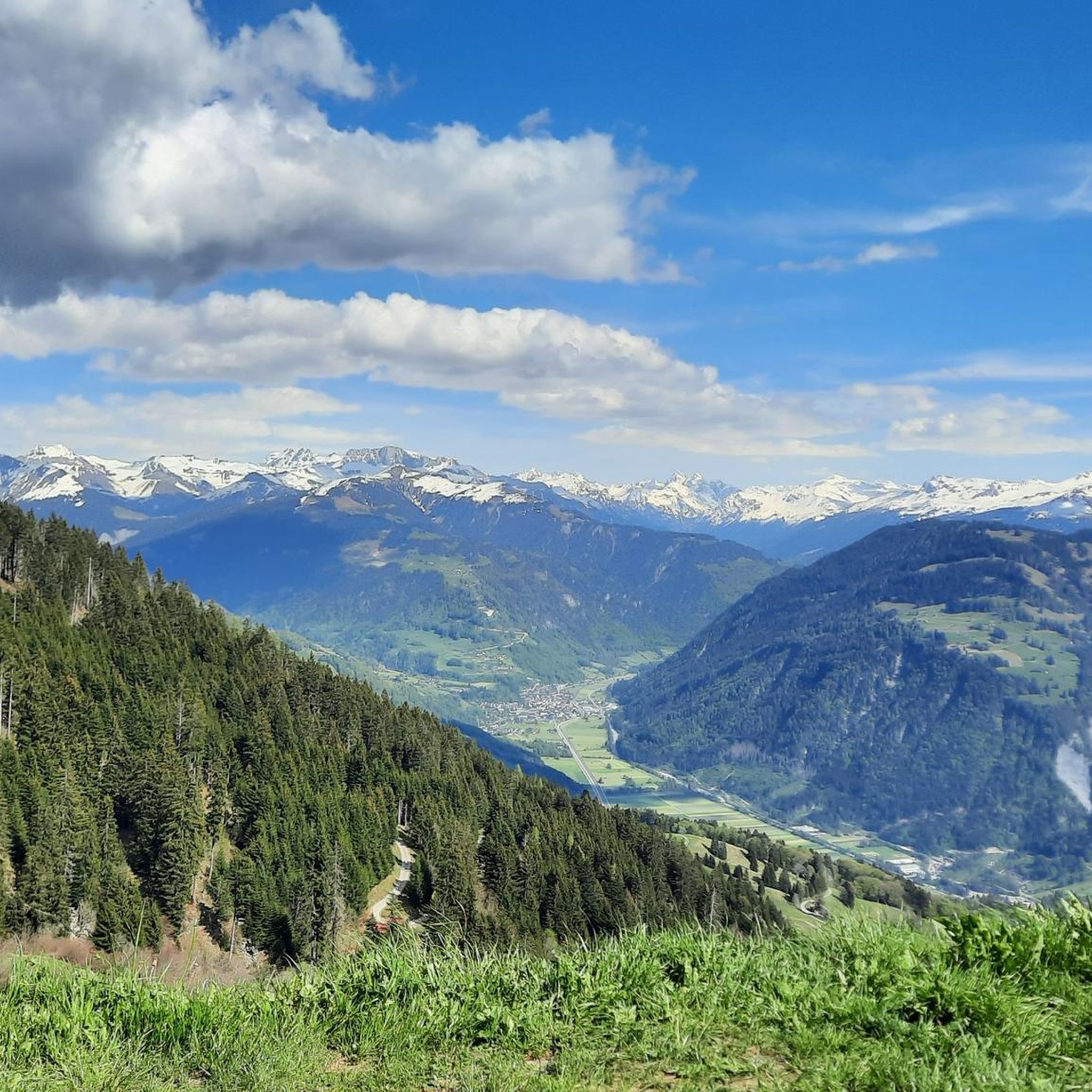
MTB Trails around Seewis im Prättigau
Cycling around Seewis im Prättigau
Road Cycling Routes around Seewis im Prättigau
Other adventures around Seewis im Prättigau


Tips from the Community

Unfortunately, not much snow and ice is visible anymore. The view is still impressive, though. Anyone who gets up here needs the appropriate equipment. Shoes, clothing, backpack with water, etc.
0
0

Along the atmospheric hiking trail near the Lünersee and the Schafgafall, you will encounter the impressive Witzani Hans memorial. This special memorial cross commemorates the mountaineer Hans Witzani, who died in an avalanche on the south slope of the Schafgafall in January 1938. Did you know that this spot has been a popular resting place for mountain hikers in the Rätikon mountains for decades? While you pause here to reflect on the impressive history and the forces of alpine nature, you are simultaneously rewarded with a beautiful panorama of the surrounding mountain peaks and the sparkling reservoir!
0
0
The fairytale-like Lünersee is also known as the pearl of the Rätikon mountains and is hidden at an altitude of no less than 1,970 meters between the steep alpine peaks. Did you know that this magical turquoise lake was originally one of the largest natural mountain lakes in the Eastern Alps until a dam was built in 1958 for hydropower? Today, you can walk a magnificent loop around the water in about two hours, while the mighty Schesaplana – at 2,965 meters, the highest mountain in the Rätikon – proudly towers above you. Thanks to the convenient Lünerseebahn, you can float from the valley to this alpine paradise in a few minutes, where the crystal-clear meltwater seems to glow on sunny days!
0
0

At the beginning of the ascent T2/T3. Later it becomes rockier, steeper and more exposed. Difficulty from approx. halfway up T3+, later T4- with light climbing sections, partly secured with ropes. The last 250 vertical meters are sweat-inducing, but you are rewarded with a dream panorama.
0
0
At the foot of the mountain, a still quite easy ascent T2/T3. Later it becomes rockier, steeper and more exposed with some light climbing, partly secured by ropes, difficulty T3+/T4-. The last 250m are quite sweaty. The ascent is definitely worth it and at the top you will be rewarded with a dream panorama.
1
0

Lünersee was once a natural mountain lake. By building a dam in 1959, the lake became a reservoir with a capacity of 78.3 million m3. When the lake is full, it is 139 m deep. The circular path around the lake is largely family-friendly and easy to walk.
8
0

You can have a good snack here.
0
0

In June, take the cable car up at 9:00 AM - Magical in sunshine
0
0
Frequently Asked Questions
What types of mountaineering routes can I find in Seewis im Prättigau?
Seewis im Prättigau offers a wide range of mountaineering routes, from challenging alpine ascents to more moderate and even a few easier paths. The region boasts over 100 routes, with the majority being difficult (around 85 routes), 21 moderate, and 4 easier options, ensuring there's something for various skill levels.
Are there any circular mountaineering routes around Seewis im Prättigau?
Yes, many of the mountaineering routes in the region are designed as loops, allowing you to start and end at the same point. For instance, you could try the challenging Lake Lüner – Schesaplana Summit loop from Lünersee, which takes you to the highest peak in the Rätikon range, or the scenic View of the Lünersee – Lünersee loop from Lünersee, offering continuous views of Lake Lüner.
What are the best times of year for mountaineering in Seewis im Prättigau?
The prime season for mountaineering in Seewis im Prättigau is generally from late spring through early autumn. In spring, particularly May to June, the meadows above 1200m are famous for their stunning display of wild narcissi. Summer offers the most stable conditions for higher alpine routes. Winter transforms the area into a playground for ski touring, especially on peaks like the Vilan.
Can I find mountain huts or places to stay along the routes?
Yes, the region is well-equipped with mountain huts that support multi-day tours and provide essential rest stops. Notable huts include the Schesaplanahütte, the Douglass Hut near the Lünerseebahn mountain station, and the recently rebuilt Totalp Hut near Lake Lüner. These offer accommodation and refreshments, enhancing the mountaineering experience.
Are there any routes that pass by waterfalls or gorges?
While the core mountaineering routes focus on alpine peaks and lakes, the broader region around Seewis im Prättigau features impressive natural water formations. You can explore highlights like the Tamina Gorge or the Kesselfall / Waterfall near Brand, which are accessible from nearby areas and offer a different kind of natural beauty.
What kind of wildlife might I encounter on the trails?
During your mountaineering adventures in Seewis im Prättigau, especially on routes ascending peaks like the Vilan, you might have the chance to observe local alpine wildlife. Keep an eye out for marmots and chamois, which are common inhabitants of these mountain environments.
Are there any family-friendly mountaineering options?
While many routes are challenging, there are a few easier mountaineering options suitable for families with some hiking experience. For a moderate option that offers stunning views without extreme difficulty, consider the Lake Lüner – Totalp Hut loop from Lünersee, which provides a rewarding experience around the beautiful Lake Lüner.
What do other mountaineers say about the routes in Seewis im Prättigau?
The mountaineering routes in Seewis im Prättigau are highly regarded by the komoot community, holding an impressive average rating of 4.8 stars from over 360 reviews. Mountaineers frequently praise the diverse alpine landscapes, the breathtaking panoramic views from peaks like Schesaplana, and the well-maintained trails that lead through this stunning Rätikon region.
What are some prominent natural landmarks or features to look out for?
The region is defined by its dramatic natural features. The majestic Schesaplana, the highest peak in the Rätikon, offers unparalleled panoramic views. The Vilan is another prominent summit. The stunning Lake Lüner, often described as one of the most beautiful places in the region, is encircled by numerous routes. In spring, the vibrant narcissi meadows are a unique natural spectacle.
How can I reach the starting points of mountaineering routes in Seewis im Prättigau?
Access to the starting points of mountaineering routes in Seewis im Prättigau often involves a combination of public transport and/or private vehicle. Many routes, particularly those around Lake Lüner, are accessible via mountain lifts or roads leading to specific trailheads where parking is usually available. It's advisable to check specific route details for the most convenient access options.
Are there any routes that offer views of the tri-border region?
Yes, the Rätikon mountains, where Seewis im Prättigau is located, span the border between Switzerland, Austria, and Liechtenstein. Routes like the Cavelljoch (Gafalljoch) – Lake Lüner loop from Lünersee lead through high mountain passes that offer unique opportunities to experience and view this tri-border area.
Most popular routes around Seewis im Prättigau
Most popular attractions around Seewis im Prättigau

Get inspired with the komoot mobile app


Explore more
Browse the best Mountain Hikes & Routes in other regions.
