The best mountain hikes around Morlon
4.5
(2)
46
hikers
4
hikes
Mountaineering routes around Morlon are situated in the scenic Gruyère District, characterized by its prominent peaks and varied alpine terrain. The region features significant ascents to summits like Le Moléson and offers challenging via ferrata experiences. Lower elevations often include forested sections and open pastures, leading to rocky outcrops and exposed ridges.
Best mountaineering routes around Morlon
- The most popular mountaineering route is Via Ferrata Dent de Vounetse loop from Val-de-Charmey, a 1.8 miles (2.9 km) trail that takes…
Last updated: July 6, 2026
14
hikers
5.88km
03:19
510m
510m
Hard mountaineering route. Good fitness required. Sure-footedness, sturdy shoes and alpine experience required.
4.5
(2)
15
hikers
Hard mountaineering route. Very good fitness required. Mostly accessible paths. Sure-footedness required.

Sign up for free
10
hikers
9.19km
04:53
860m
860m
Hard mountaineering route. Good fitness required. Sure-footedness, sturdy shoes and alpine experience required.
4
hikers
Moderate mountaineering route. Good fitness required. Mostly accessible paths. Sure-footedness required.
3
hikers
7.64km
02:49
410m
410m
Moderate mountaineering route. Good fitness required. Mostly accessible paths. Sure-footedness required.
Our route recommendations are based on thousands of hikes, rides, and runs completed by other people on komoot.
Start today with a free account
Your next adventure awaits.
Login or Signup

Tips from the Community

Two legendary routes lead directly through the striking north face. Both start from the Mittelstation Plan-Francey (25 min approach) and end at the Vorgipfel. 🔵 Via Ferrata "Le Pilier" (K4 / C-D) Character: Sporty, sunny pleasure route over the northeast pillar. Requirement: Varied with steep steps and ledges. Perfect for experienced via ferrata climbers. 🔴 Via Ferrata "La Face" (K5 / D-E) Character: extremely exposed and very athletic directly through the wall. Requirement: Requires a lot of arm strength! At the end, a key section awaits: Either the bypass (K4+) or the strenuous overhang (K5+). 💡 Short Info: Equipment: Rental directly at the Mittelstation Plan-Francey possible. Fee: CHF 4.– for the maintenance of the facility. Descent: Float comfortably back to the Mittelstation with the cable car from the summit. Important: As it is a north face, only enter in absolutely dry conditions!
0
0

Friendly welcome, excellent meal and reasonable price
0
0


One of the oldest alpine pastures in the canton of Fribourg. There you will enjoy Fribourg specialties: ham, baked cheese slices, cheese fondue
0
0

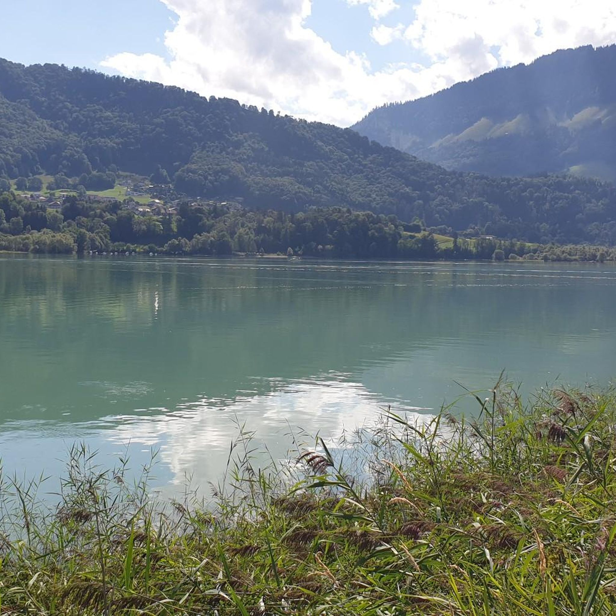
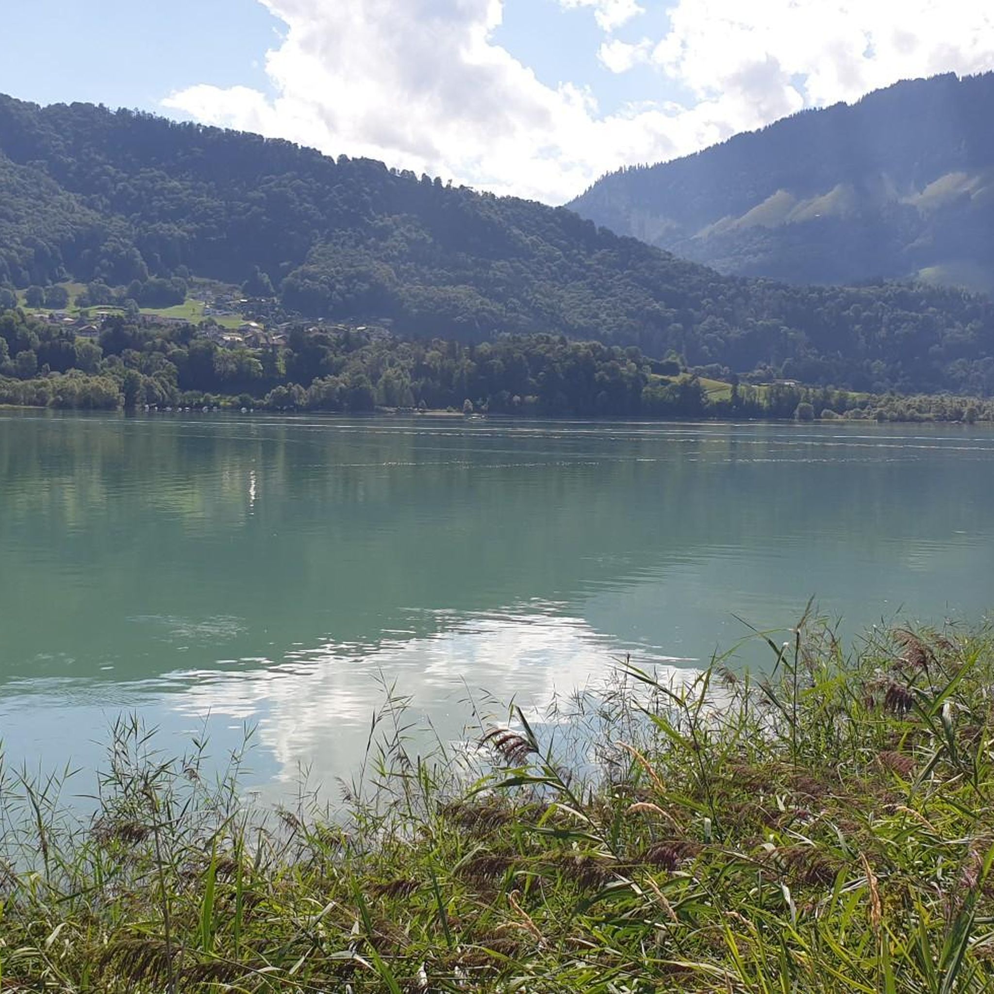
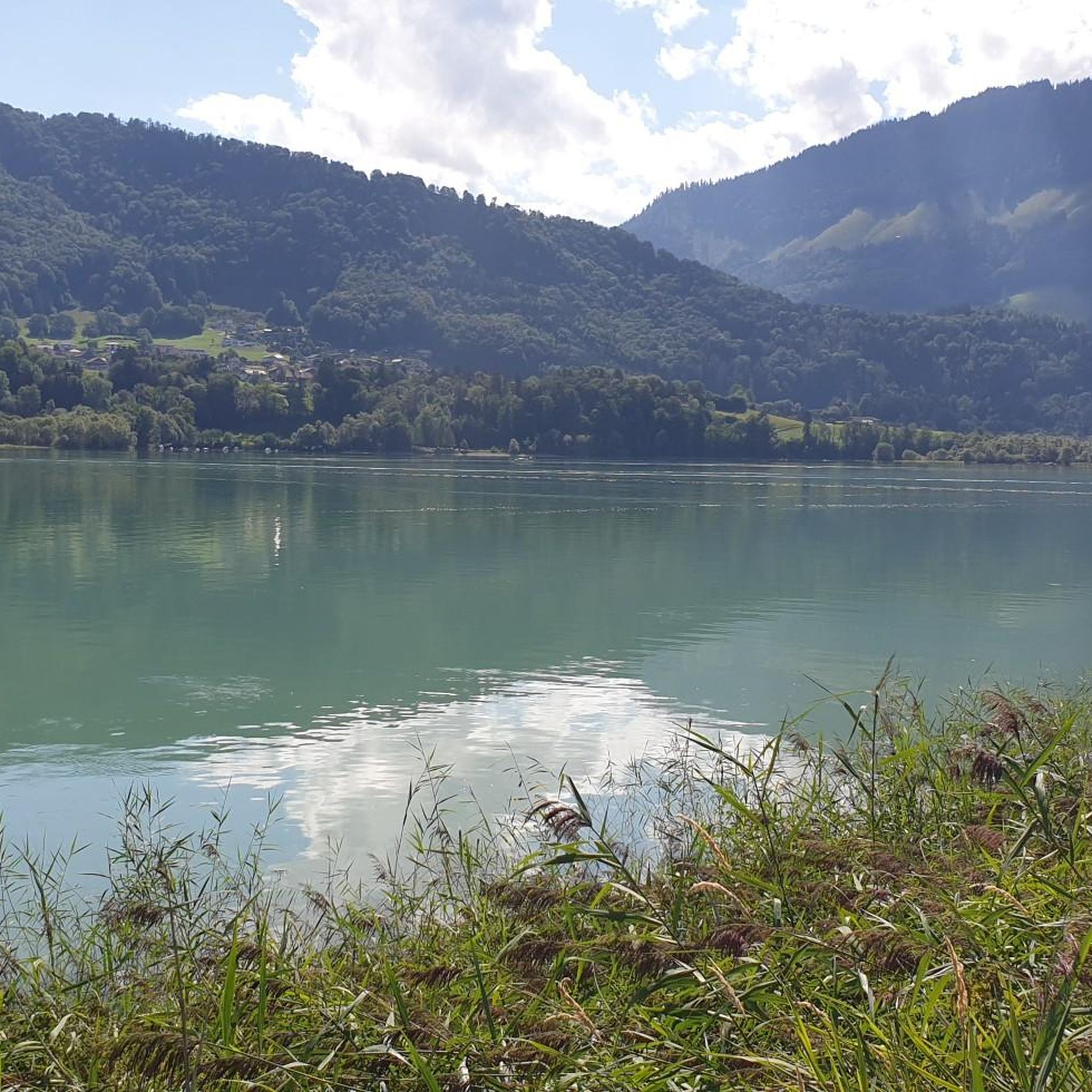
This summit is part of the Moléson massif and offers a breathtaking view of Lake Gruyère.
2
0

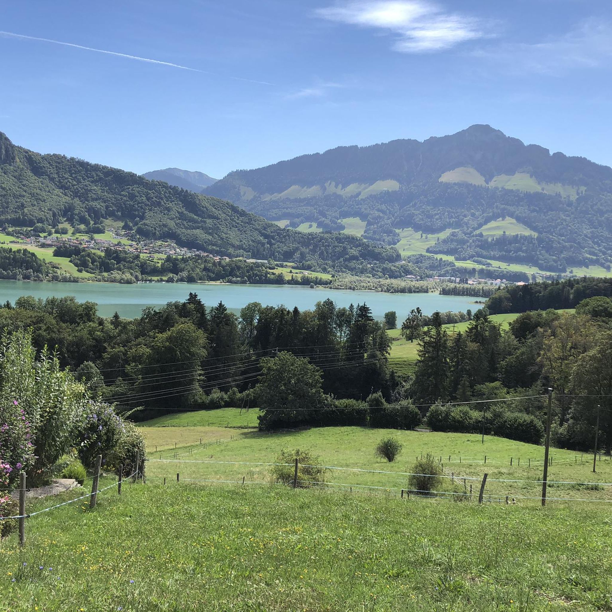
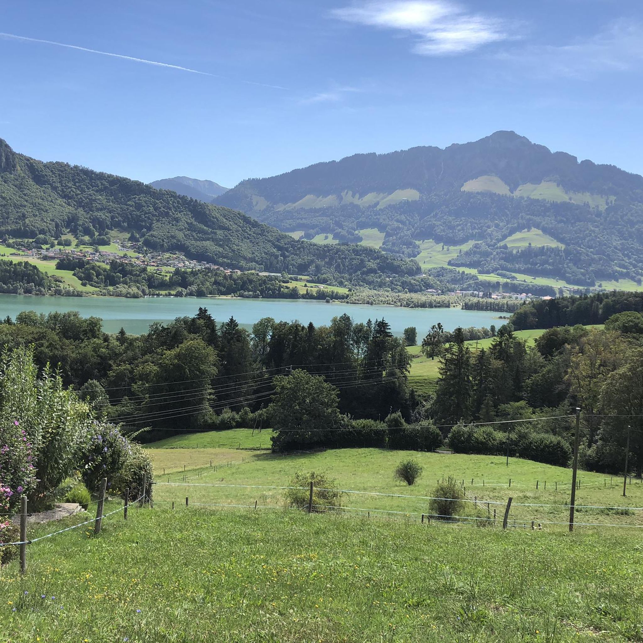
Alles im Blick: Cité Gruyère, Bulle, Charmey
0
0

Narrow path on the steep slope of the Moléson with a great view and (in autumn) wonderful colors.
1
0

Looking towards the Jura is worthwhile
0
0
Frequently Asked Questions
How many mountaineering routes are available around Morlon?
There are currently 6 mountaineering routes documented around Morlon on komoot. These routes cater to moderate and difficult skill levels, offering a range of experiences in the scenic Gruyère District.
What are the difficulty levels of mountaineering routes in Morlon?
The mountaineering routes in Morlon are categorized as either moderate or difficult. There are 3 moderate routes and 3 difficult routes, including challenging via ferrata sections and sustained climbs to prominent summits.
Are there any beginner-friendly mountaineering routes in Morlon?
The mountaineering routes around Morlon are generally rated as moderate to difficult. There are no routes specifically classified as easy, so beginners should be prepared for challenging terrain, significant ascents, and potentially exposed sections.
What do other mountaineers say about the routes in Morlon?
The routes in Morlon are highly rated by the komoot community, with an average score of 4.6 stars from 8 reviews. Mountaineers often praise the panoramic views from summits like Le Moléson and the varied alpine landscapes.
Can I find circular mountaineering routes in Morlon?
Yes, several routes in Morlon are circular. For example, the Via Ferrata Dent de Vounetse loop from Val-de-Charmey offers a challenging circular experience, and the Le Moléson Summit loop from Plan-Francey provides a moderate circular path with extensive views.
What is the typical duration for mountaineering routes in Morlon?
The duration for mountaineering routes in Morlon varies significantly based on the route's length and difficulty. You can expect routes to range from approximately 1 hour 14 minutes for shorter, more intense climbs like the via ferrata, up to around 5 hours 16 minutes for longer summit loops such as Le Moléson Summit – Le Moléson loop from Moléson-Village.
What natural attractions can I see along the mountaineering routes?
Morlon's mountaineering routes offer access to stunning natural features. You can encounter prominent summits like Le Moléson Summit and La Berra summit. Some routes also pass by a beautiful waterfall and the Moléson Botanical Trail.
Are there any historical landmarks or cultural sites near the mountaineering trails?
Yes, the region around Morlon is rich in history and culture. While on your mountaineering adventure, you're not far from sites like Gruyères Old Town, the Ogoz Island, and the Ruins of Everdes Castle. These offer a glimpse into the area's heritage.
When is the best time of year for mountaineering in Morlon?
The best time for mountaineering in Morlon is typically during the warmer months, from late spring to early autumn (May to October), when trails are clear of snow and weather conditions are more stable. Always check local weather forecasts and trail conditions before heading out, especially at higher elevations.
Is winter mountaineering possible in Morlon?
Winter mountaineering in Morlon is possible but requires specialized gear, experience, and careful planning due to snow, ice, and potential avalanche risks. Conditions can be challenging, and some routes may be inaccessible. It's crucial to consult local conditions and forecasts if planning a winter ascent.
Are there any particularly challenging routes for advanced mountaineers?
Absolutely. Advanced mountaineers will find routes like the Via Ferrata Dent de Vounetse loop from Val-de-Charmey particularly challenging, featuring a demanding via ferrata section. Other difficult routes include the Le Moléson Summit – Le Moléson Summit loop from Moléson-Village, which involves significant elevation gain.
What kind of terrain can I expect on the mountaineering routes around Morlon?
The terrain around Morlon is highly varied, ranging from forested sections and open pastures at lower elevations to rocky outcrops, exposed ridges, and prominent alpine summits. You'll encounter significant ascents and descents, characteristic of the Gruyère District's alpine environment.
Most popular attractions around Morlon

Get inspired with the komoot mobile app


Explore more
Browse the best Mountain Hikes & Routes in other regions.
