The best mountain hikes around Brienzwiler
4.8
(49)
495
hikers
26
hikes
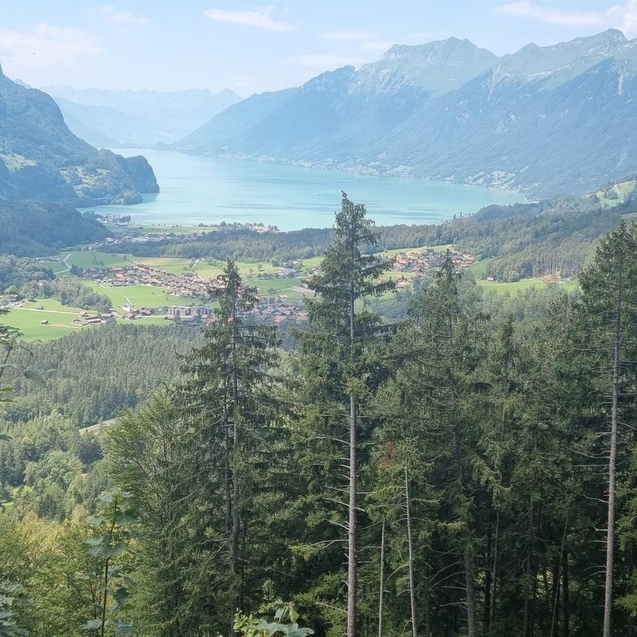
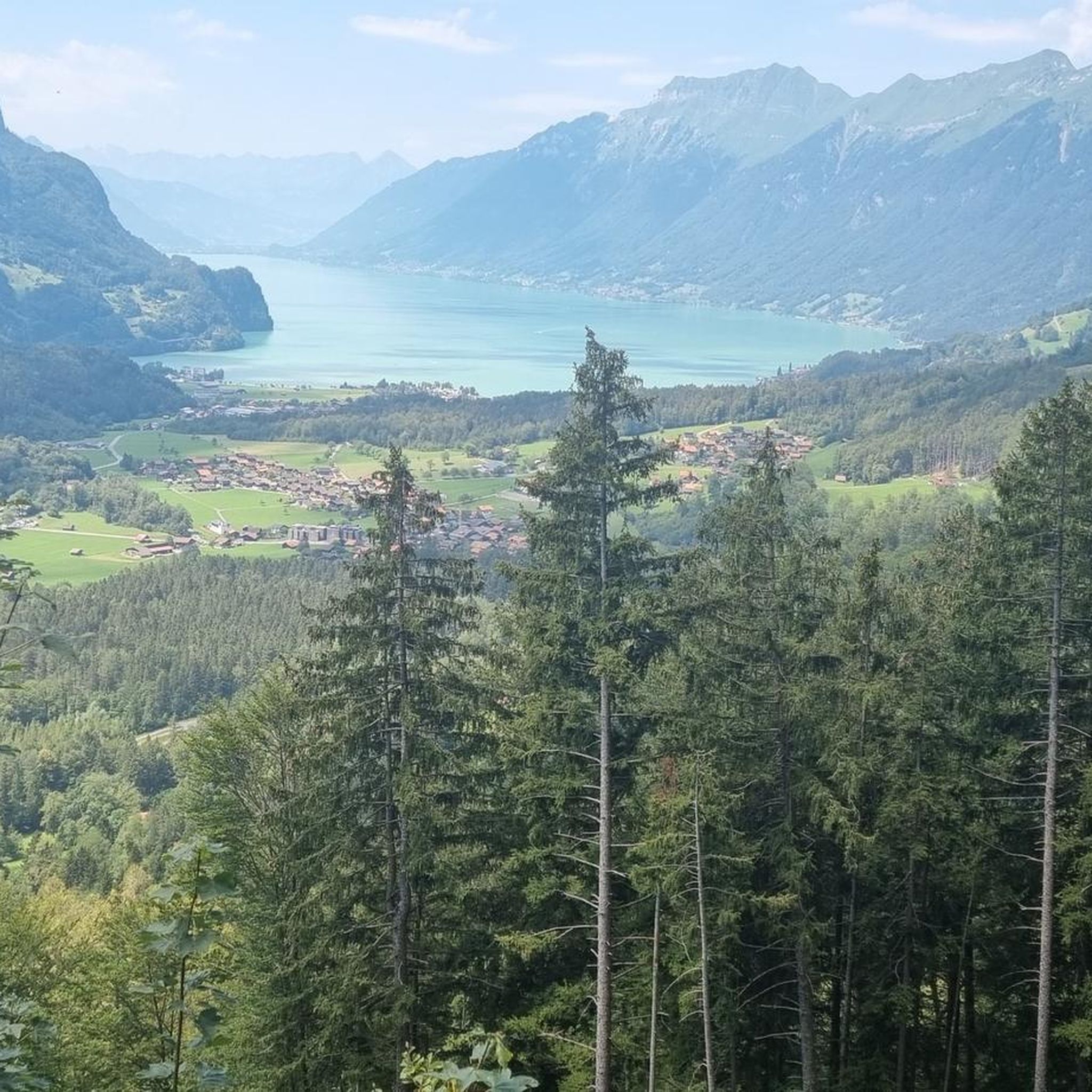
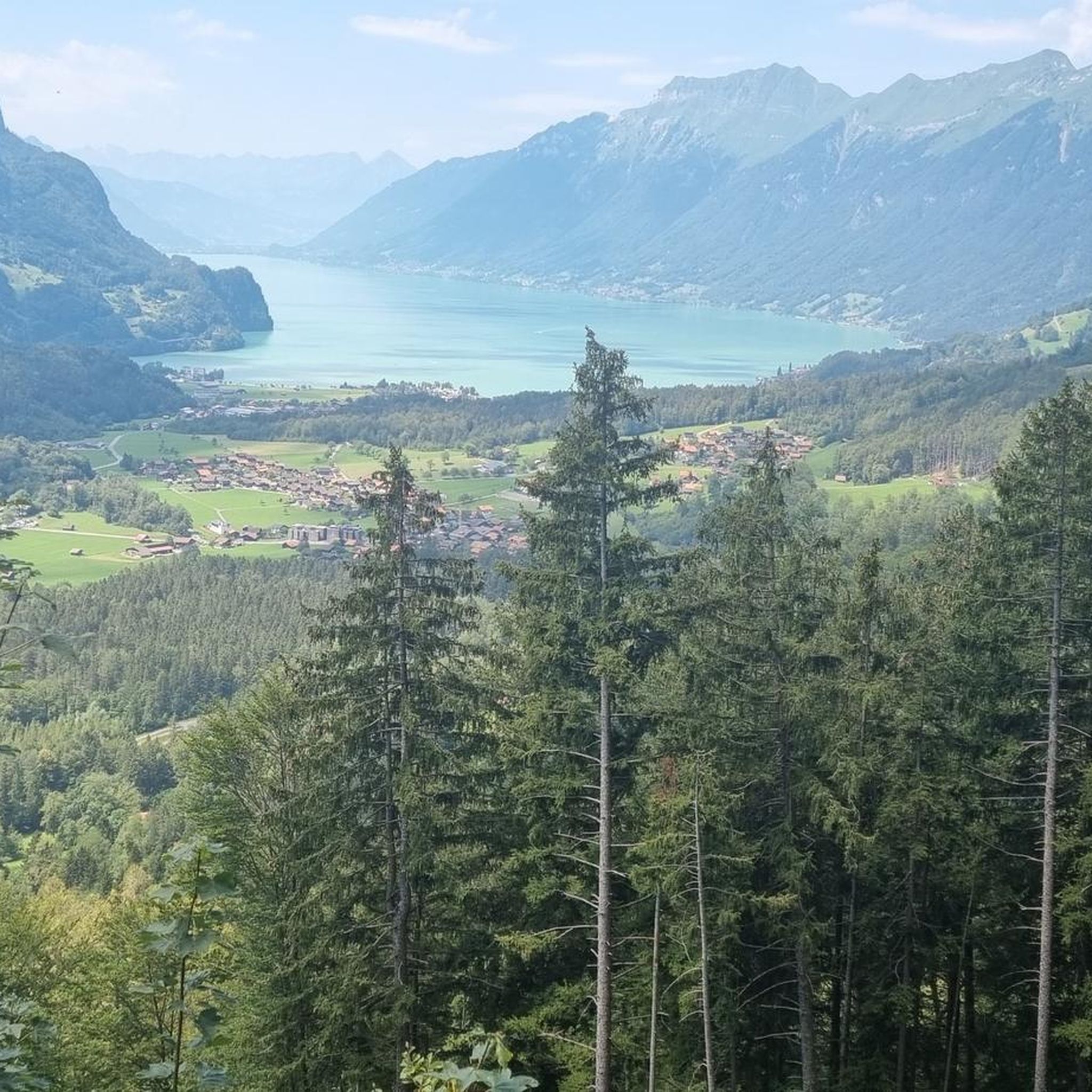
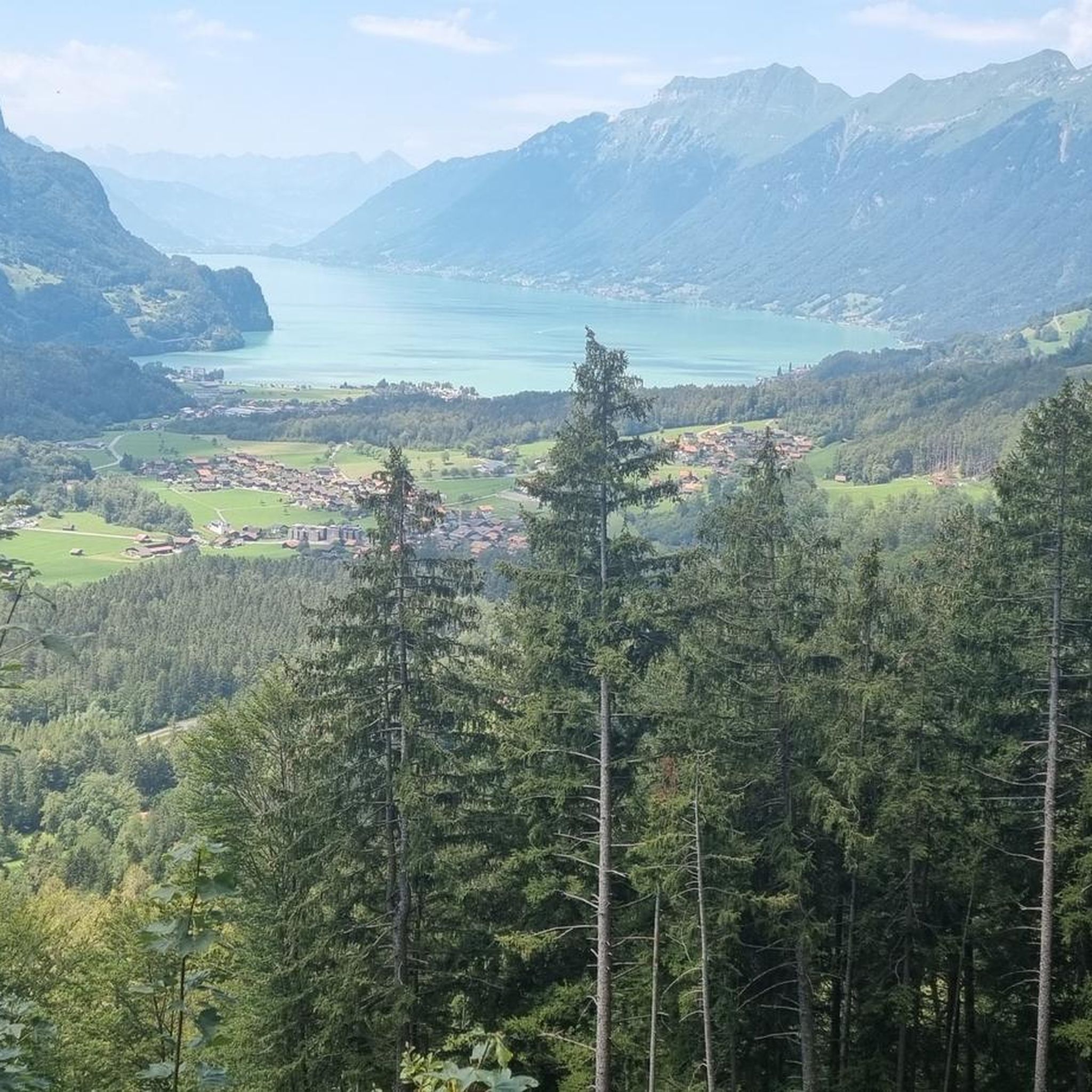
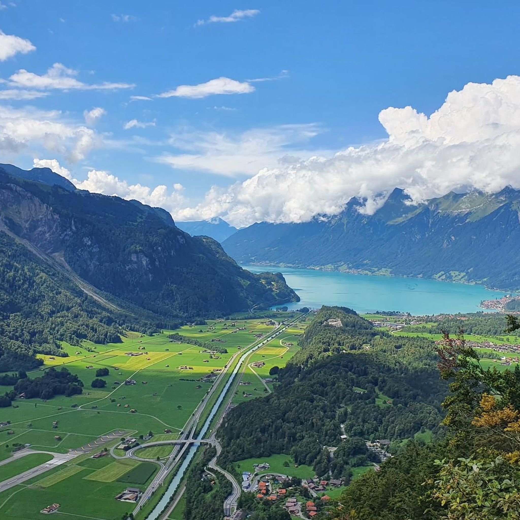
Mountaineering around Brienzwiler offers access to the diverse alpine landscapes of the Bernese Oberland. The region is characterized by prominent peaks such as the Brienzer Rothorn and Wilerhorn, which provide extensive panoramic views. Deep gorges like the Aare Gorge and Rosenlaui Glacier Gorge, along with the turquoise waters of Lake Brienz, define the terrain. Surrounding forests and alpine pastures contribute to varied elevation changes and natural features suitable for mountaineering.
Best mountaineering routes around Brienzwiler
- The most popular mountaineering route…
Last updated: October 9, 2026
5.0
(2)
49
hikers
Hard mountaineering route. Very good fitness required. Sure-footedness, sturdy shoes and alpine experience required.
5.0
(3)
64
hikers
9.67km
07:16
1,270m
1,270m
Hard mountaineering route. Very good fitness required. Sure-footedness, sturdy shoes and alpine experience required.

5.0
(3)
35
hikers
10.0km
03:48
480m
470m
Moderate mountaineering route. Good fitness required. Mostly accessible paths. Sure-footedness required.
5.0
(5)
21
hikers
11.6km
04:31
700m
700m
Hard mountaineering route. Good fitness required. Sure-footedness, sturdy shoes and alpine experience required.
5.0
(3)
24
hikers
Hard mountaineering route. Good fitness required. Sure-footedness, sturdy shoes and alpine experience required.
Get access to more routes and recommendations from other explorers.
Already have an account?
Our route recommendations are based on thousands of hikes, rides, and runs completed by other people on komoot.
Start today with a free account
Your next adventure awaits.
Tips from the Community

The Rosenlaui Glacier Gorge in the Haslital is an impressive natural spectacle and an absolute highlight in the Bernese Oberland! 🌊🏔️ Along a secured path carved into the steep rock, you hike past roaring waterfalls, deep glacial mills, and swirling streams that have carved their way through the limestone over millennia 💥📸 The well-developed circular trail leads steadily uphill via stairs and tunnels, rewarding you at the top with an idyllic descent through a magical mountain forest 🌲🥾 Bring a light rainproof device or a jacket, as the spray from the rushing waterfalls gently mists through the narrow gorge! Ideally combinable with a further hike to Schwarzwaldalp or a postbus ride over the historic Grosse Scheidegg 🚌⛰️ (Note: The path is designed as a one-way street and is usually open from May to October)
0
0

Wonderful 360° view of Lungern-, Sarnersee and, in clear weather, up to Vierwaldstättersee. The last corner of Thunersee can also be seen. Chasseral, Finsteraarhorn, Eiger, Mönch, Jungfrau, Silberhorn, Grosse Scheidegg are just some of the wonderful landmarks that can be admired. In damp or wet weather, it is not advisable due to the long and steep ascent and descent via the hiking trail.
0
0

The Bachalpsee above Grindelwald is one of the most beautiful mountain lakes in Switzerland. In good conditions, the clear water reflects the peaks of the Schreckhorn, Finsteraarhorn, and Wetterhorn. Thanks to the easy hike from the First mountain station, the lake is a popular destination. The impressive alpine scenery delights hikers, photographers, and nature lovers alike.
5
0
The Turrenbahn mountain station at 1,562 m is the perfect starting point for unforgettable adventures high above the turquoise-blue Lungerersee! 🚠✨ Whether you lace up your hiking boots or pack your MTB: Some of the region's most beautiful tours start from here, such as the panoramic trail up to Schönbüel or the spectacular ridge hike towards Brienzer Rothorn 🥾🚲 For the necessary refreshment, the Turren restaurant right at the station offers a brilliant sun terrace 🧀☕ Pro tip: Definitely take the first cable car in the morning – the light over the lake is magical and you'll have the paths almost to yourself! 📸🌄
1
0

Probably one of the most visited peaks in Switzerland by hikers. Every summer, entire tribes migrate from the Schynige Platte to the Grindelwald - First mountain station, crossing the Faulhorn summit. Built in 1832 on its southern slope, the hotel and its outbuildings have seen sunrise lovers pass by every year. The summit offers a relatively unobstructed view. It has a grassy southern flank as well as a steep and rocky northern slope and overall presents the image of a rather monotonous mountain.
0
0

“Between heaven and earth”: this is how the hut south of the Engelhörner is often called. It is located on the narrow Tossengrat (new entry on the map), between Rosenlaui and the Ürbachtal, with sunrises and sunsets of extra quality. It is an attractive summer destination (no winter lodge) for experienced hikers, with an impressively scenic access, partly secured with wire ropes and ladders. Ski tourers can use the Rosenlauibiwak.
1
0
Usually 2 trips per hour https://turren.ch/bahn
14
1

Very nice in winter for a leisurely hike or snowshoe tour 👍
1
0
Frequently Asked Questions
How many mountaineering routes are available around Brienzwiler?
There are over 25 mountaineering routes around Brienzwiler, offering a wide range of options for exploring the Bernese Oberland. These routes vary in difficulty, from moderate ascents to challenging alpine trails.
Are there mountaineering routes suitable for beginners or those seeking less challenging options?
Yes, while many routes are challenging, there are also moderate mountaineering options available. For example, the First Cliff Walk by Tissot – Bachalpsee loop from Berggasthaus First is a moderate trail that leads through high alpine scenery and past the beautiful Bachalpsee lake.
Which routes offer impressive natural features like gorges or waterfalls?
The region is rich in dramatic natural features. You can explore the Dossen Hut – Rosenlaui Gorge loop from Klein Wellhorn, which traverses alpine terrain and passes through the dramatic Rosenlaui Glacier Gorge. Another option is the Rosenlaui Gorge – Weg entlang des Reichenbachs loop from Reichenbach Falls, which also features the gorge and the nearby Reichenbach Falls.
What are some challenging mountaineering routes for experienced hikers?
For experienced mountaineers, the area offers several difficult routes. The Distelboden – View from Schwarzhorn Summit loop from Berggasthaus First is a difficult trail offering expansive summit views. Another challenging option is the Alp Breitenfeld – Turren Restaurant loop from Turren, which covers over 11 km with significant elevation gain.
Are there any circular mountaineering routes in the Brienzwiler area?
Yes, many of the mountaineering routes around Brienzwiler are designed as loops, allowing you to start and end at the same point. Examples include the Distelboden – View from Schwarzhorn Summit loop and the Dossen Hut – Rosenlaui Gorge loop, providing varied scenery without retracing your steps.
What kind of views can I expect on mountaineering routes around Brienzwiler?
Mountaineering routes in Brienzwiler offer breathtaking panoramic views of the Swiss Alps, including four-thousand-meter peaks, and the turquoise waters of Lake Brienz. Prominent peaks like the Brienzer Rothorn and Wilerhorn provide magnificent vistas. You can also find serene lake views, such as those along the route past Bachalpsee.
What do other mountaineers enjoy most about the routes in Brienzwiler?
The mountaineering routes in Brienzwiler are highly rated by the komoot community, with an average score of 4.8 stars from over 40 reviews. Mountaineers often praise the diverse alpine landscapes, the stunning panoramic views from summits like the Faulhorn Summit, and the dramatic natural features like the gorges and clear mountain lakes.
Are there any mountain huts or accommodation options along the routes?
Yes, the region offers mountain huts for overnight stays or refreshments. You can find huts like the Gleckstein Hut (SAC), Bort Mountain Lodge, and Engelhorn Hut, which can serve as bases for multi-day tours or rest stops.
What is the best time of year for mountaineering in Brienzwiler?
The best time for mountaineering in Brienzwiler is typically during the warmer months, from late spring to early autumn (June to September), when trails are generally free of snow and weather conditions are more stable. However, some lower-elevation routes might be accessible earlier or later in the season. Always check local weather and trail conditions before heading out.
Are there any cultural attractions or points of interest near the mountaineering routes?
Beyond the natural beauty, the region offers cultural attractions. The Ballenberg Open-Air Museum, showcasing traditional Swiss buildings, and the Swiss Woodcarving Museum in Brienz are notable. While not directly on mountaineering routes, they offer a glimpse into local heritage and can complement your outdoor adventure.
Can I access mountaineering routes around Brienzwiler using public transport?
Brienzwiler and the surrounding Bernese Oberland are well-served by public transport, including trains and post buses, which can take you to various starting points for mountaineering routes. Some routes, like those near the Brienzer Rothorn, can even be accessed via the historic Brienz-Rothorn Railway.
Are there specific landmarks or viewpoints to look out for on these routes?
Absolutely. Keep an eye out for the stunning Bachalpsee lake, the impressive Faulhorn Summit with its expansive views, and the dramatic Aare Gorge. The region is dotted with natural wonders and high-alpine viewpoints.
Most popular routes around Brienzwiler
Most popular attractions around Brienzwiler

Get inspired with the komoot mobile app


Explore more
Browse the best Mountain Hikes & Routes in other regions.
