The best running trails around Gündlischwand
4.5
(229)
10,330
runners
302
runs
Jogging around Gündlischwand offers diverse running routes through the scenic Bernese Oberland. The region is characterized by deep alpine valleys, dramatic waterfalls, and surrounding mountain ridges. Runners can expect varied terrain, from valley paths alongside rivers to more challenging ascents with panoramic views.
Best jogging routes around Gündlischwand
- The most popular jogging route is Lauterbrunnen Valley – Wengen loop from Lauterbrunnen, a 16.9 miles (27.2 km) trail that takes 3 hours 47 minutes to complete. This challenging route features…
Last updated: October 11, 2026
4.8
(6)
290
runners
27.4km
03:48
1,460m
1,460m
Hard run. Very good fitness required. Mostly paved surfaces. Suitable for all skill levels.
4.5
(6)
242
runners
13.9km
01:29
170m
170m
Moderate run. Good fitness required. Mostly paved surfaces. Suitable for all skill levels.

4.5
(2)
34
runners
8.08km
00:57
240m
240m
Moderate run. Good fitness required. Mostly paved surfaces. Suitable for all skill levels.
25
runners
15.7km
01:56
550m
550m
Hard run. Very good fitness required. Mostly paved surfaces. Suitable for all skill levels.
5.0
(2)
27
runners
8.95km
01:18
460m
460m
Hard run. Very good fitness required. Mostly paved surfaces. Suitable for all skill levels.
Get access to more routes and recommendations from other explorers.
Already have an account?
Our route recommendations are based on thousands of hikes, rides, and runs completed by other people on komoot.
Start today with a free account
Your next adventure awaits.

Tips from the Community

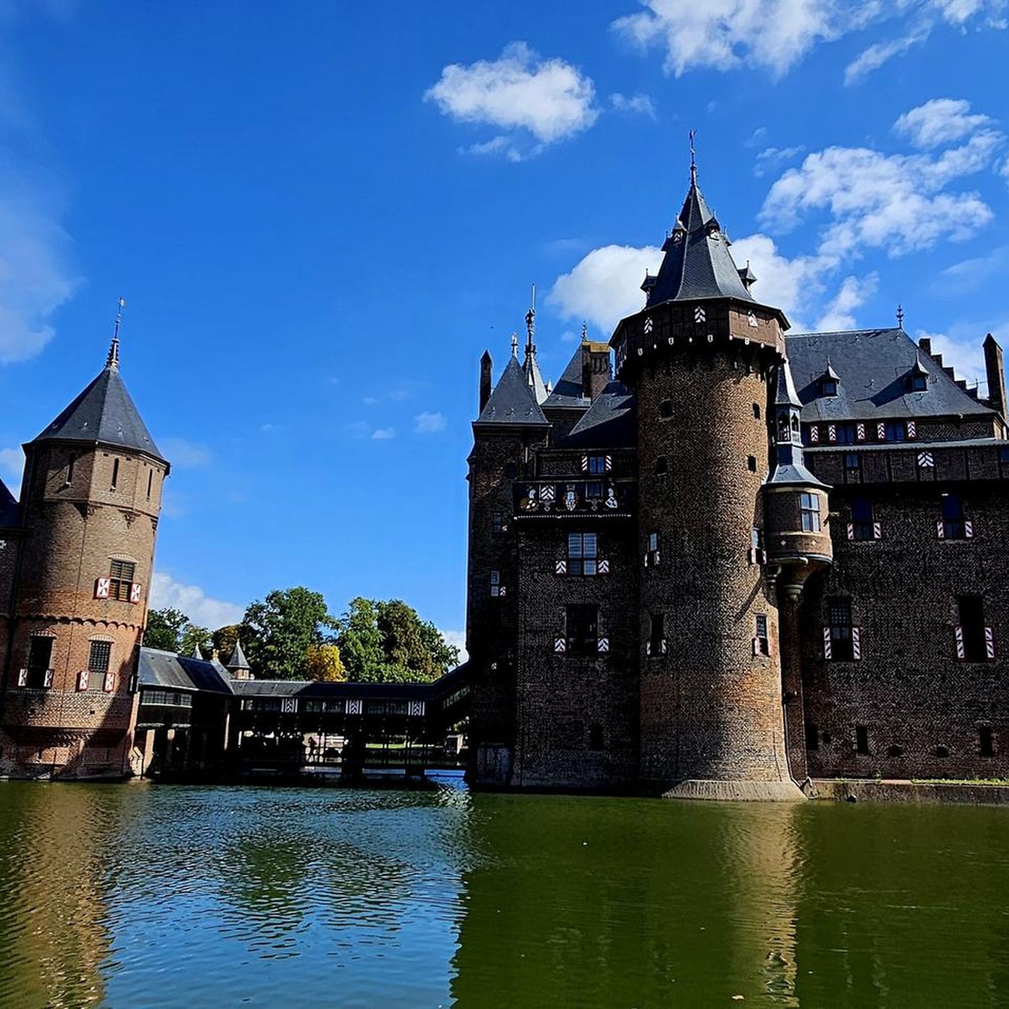
Summer or winter, this is a great little hike that you can put the cherry on top with a visit to Café Mary - local name Häxehüsli. Complete the loop hiking back to the village Center lower than the asphalted village road, or if in a hurry - take the easy way on the road
0
0


Wengen is located at an elevated position in the Lauterbrunnen Valley and is a popular destination in both summer and winter. Here you'll find numerous hotels and other accommodations, as well as shopping opportunities.
0
0

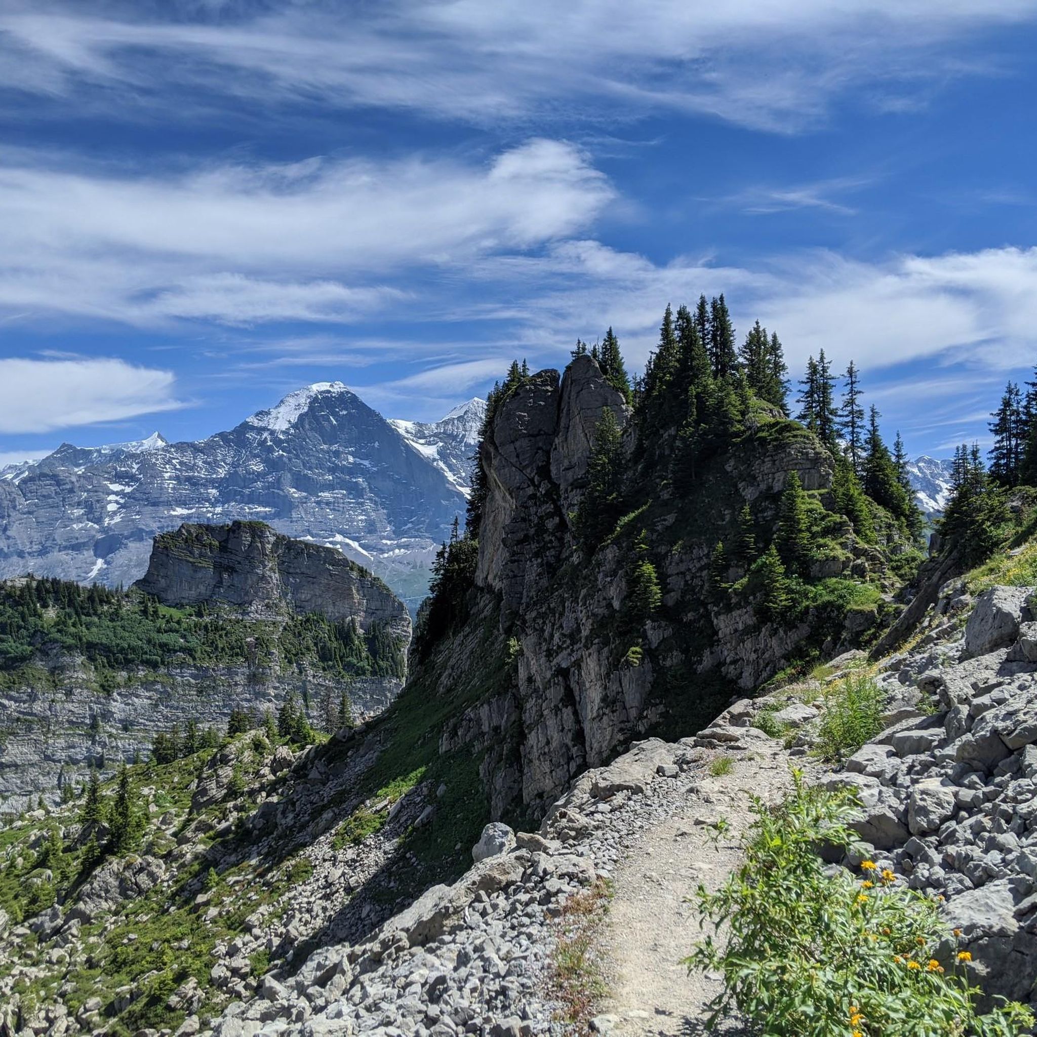
The Kleine Scheidegg within easy reach… Next to it the imposing Eiger
0
0

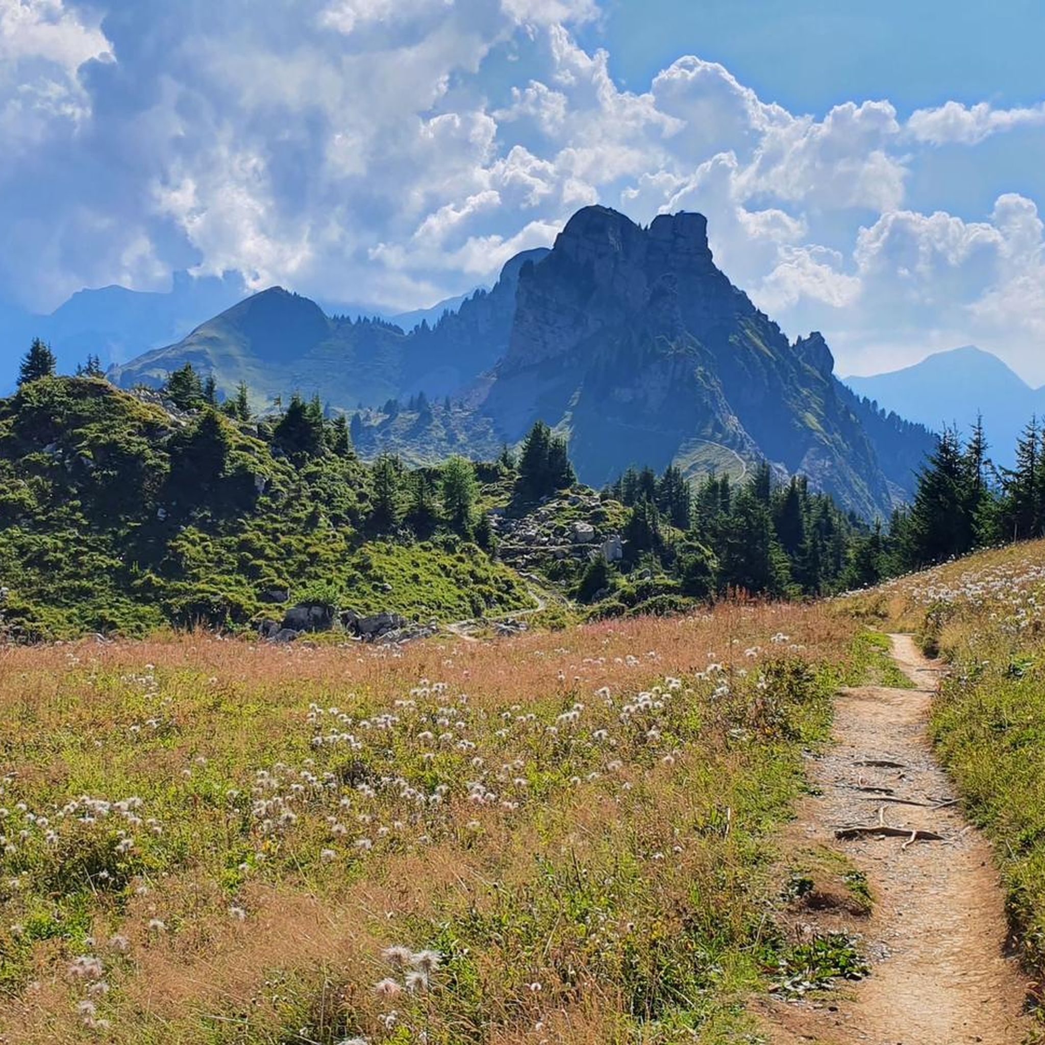
a hotspot to see from our camper at the campsite, you can walk there
0
0


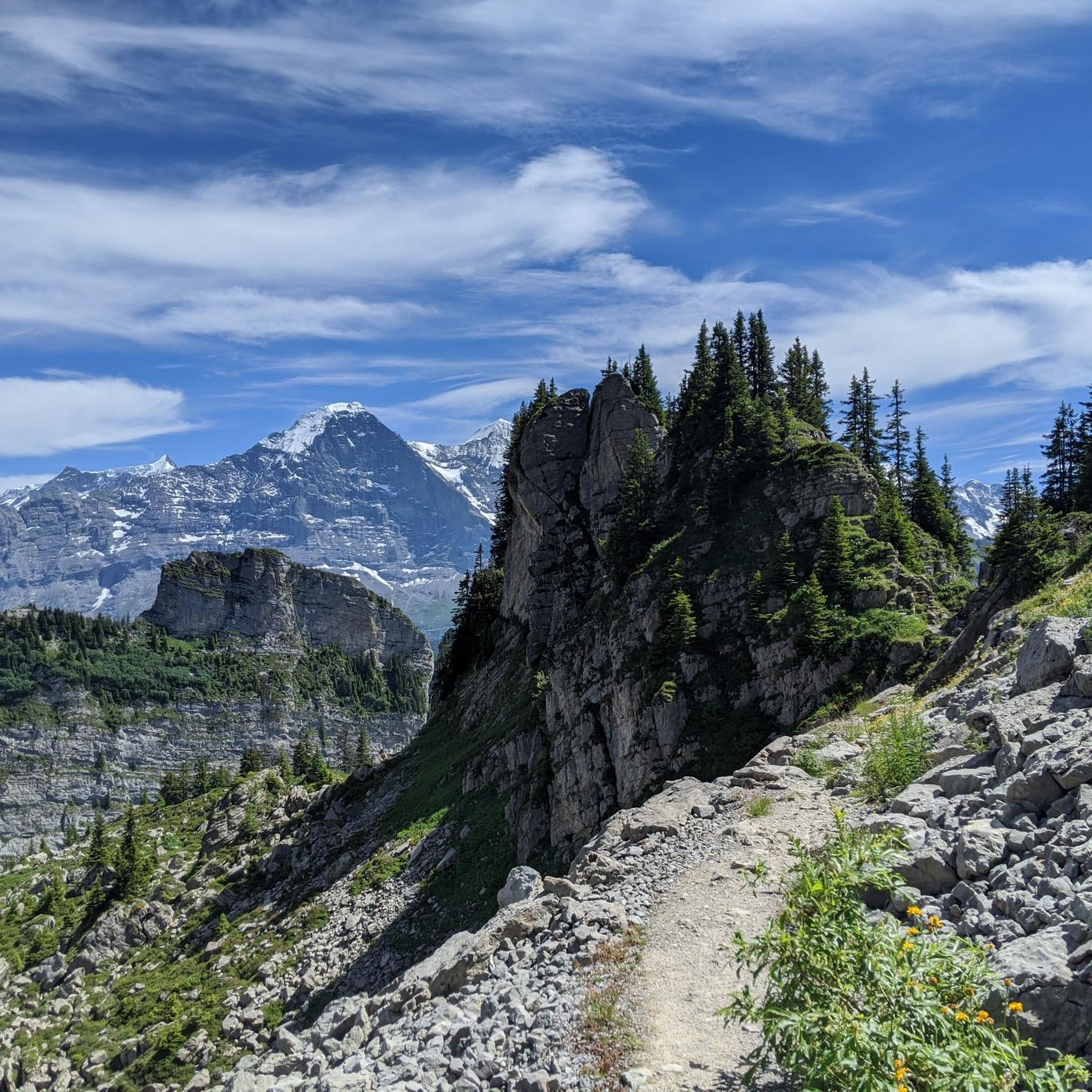
Fantastic view of the lush green Lauterbrunnen Valley surround by snow-topped peaks.
0
0
Frequently Asked Questions
How many running routes are available around Gündlischwand?
There are over 300 running routes in the Gündlischwand area, catering to various fitness levels. This includes 15 easy routes, 153 moderate routes, and 149 difficult routes, ensuring options for every runner.
Are there any easy or beginner-friendly running trails in Gündlischwand?
Yes, Gündlischwand offers 15 easy running routes suitable for beginners or those looking for a relaxed jog. These trails typically feature less elevation gain and smoother terrain, perfect for getting started or enjoying a leisurely run.
What kind of challenging running routes can I find in the Gündlischwand region?
For experienced runners seeking a challenge, Gündlischwand boasts 149 difficult routes. These often involve significant elevation changes and longer distances, such as the Lauterbrunnen Valley – Wengen loop from Lauterbrunnen, which covers 27.2 km with substantial ascent, offering expansive valley views.
Are there running routes with scenic viewpoints in Gündlischwand?
Absolutely. Many routes in the region offer breathtaking views. For instance, the Schynige Platte loop from Schynige Platte leads through alpine meadows with panoramic mountain vistas. You can also find stunning perspectives of Lake Thun and Niesen from the Weissenau Castle Ruins.
Can I find circular running routes around Gündlischwand?
Yes, many running routes in Gündlischwand are circular, allowing you to start and end at the same point. Examples include the moderate Staubbach Falls – Staubbach Falls loop from Lauterbrunnen and the challenging Lauterbrunnen Valley – Wengen loop from Lauterbrunnen.
What do other runners say about the trails in Gündlischwand?
The running trails in Gündlischwand are highly regarded by the komoot community, with an average rating of 4.5 stars from over 180 reviews. Nearly 10,000 runners have explored the varied terrain, often praising the diverse landscapes, from valley paths to challenging mountain ascents, and the impressive natural features like waterfalls.
Are there any running routes that pass by waterfalls in the Gündlischwand area?
Yes, the region is known for its dramatic waterfalls. The Staubbach Falls – Staubbach Falls loop from Lauterbrunnen is a moderate 13.9 km route that follows scenic paths directly alongside the iconic Staubbach Falls, offering a memorable running experience.
What are some interesting landmarks or attractions near the running routes in Gündlischwand?
Beyond the natural beauty, you can explore historical sites and stunning viewpoints. Highlights include the Burgkirche and Ringgenberg Castle Ruins, or enjoy views of Lake Thun from the Weissenau Castle Ruins. For lake views, consider the Bachalpsee or the Hinterburgseeli.
Is Gündlischwand suitable for family-friendly running or walking?
While many routes offer challenging terrain, there are also easier paths suitable for families. The valley floors provide flatter sections, and shorter, less strenuous loops can be found. Always check the route difficulty and distance to ensure it matches your family's capabilities.
What is the best season for running in Gündlischwand?
The Bernese Oberland, including Gündlischwand, offers excellent running conditions from late spring through early autumn when trails are clear of snow and temperatures are mild. Summer provides lush green landscapes, while autumn brings vibrant colors. Winter running is possible on lower-elevation paths, but higher mountain trails may be inaccessible due to snow.
Are there running routes in Gündlischwand accessible by public transport?
Many routes in the region are well-connected by Switzerland's efficient public transport system. Lauterbrunnen, a common starting point for several routes, is easily reachable by train. From there, you can access trails like the View of the River in Oberland – Lauterbrunnen Valley loop.
Are dogs allowed on the running trails around Gündlischwand?
Generally, dogs are welcome on most trails in the Bernese Oberland, but it's always advisable to keep them on a leash, especially in nature reserves, agricultural areas, or near livestock. Be mindful of local signage and ensure your dog is well-behaved and doesn't disturb wildlife or other trail users.
Most popular routes around Gündlischwand
Most popular attractions around Gündlischwand

Get inspired with the komoot mobile app


Explore more
Browse the best Running Trails & Routes in other regions.
