The best running trails around Malicornay
4.3
(12)
516
runners
84
runs
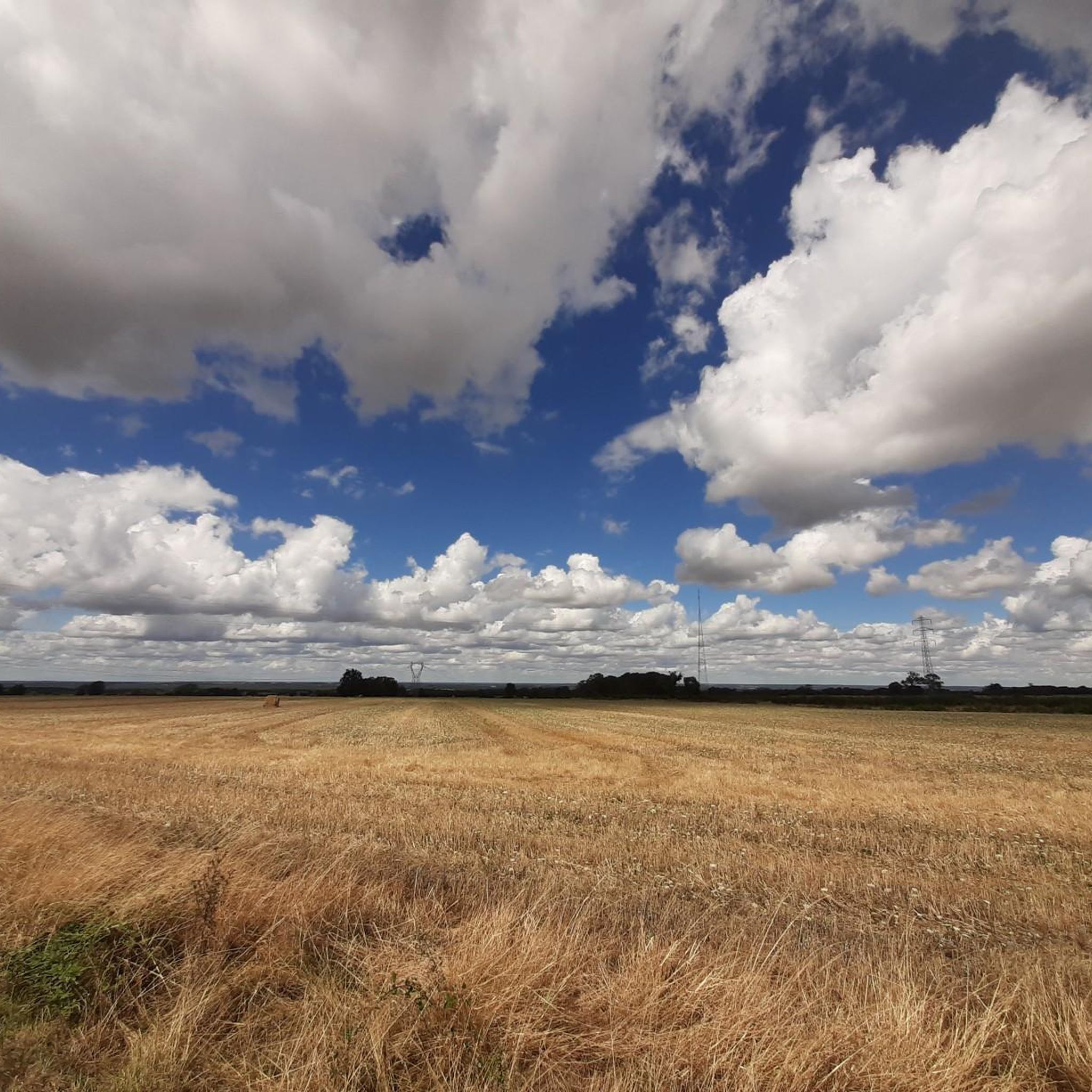
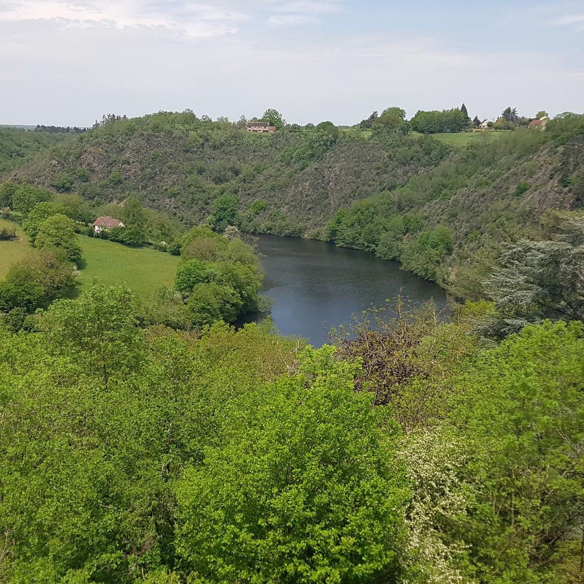
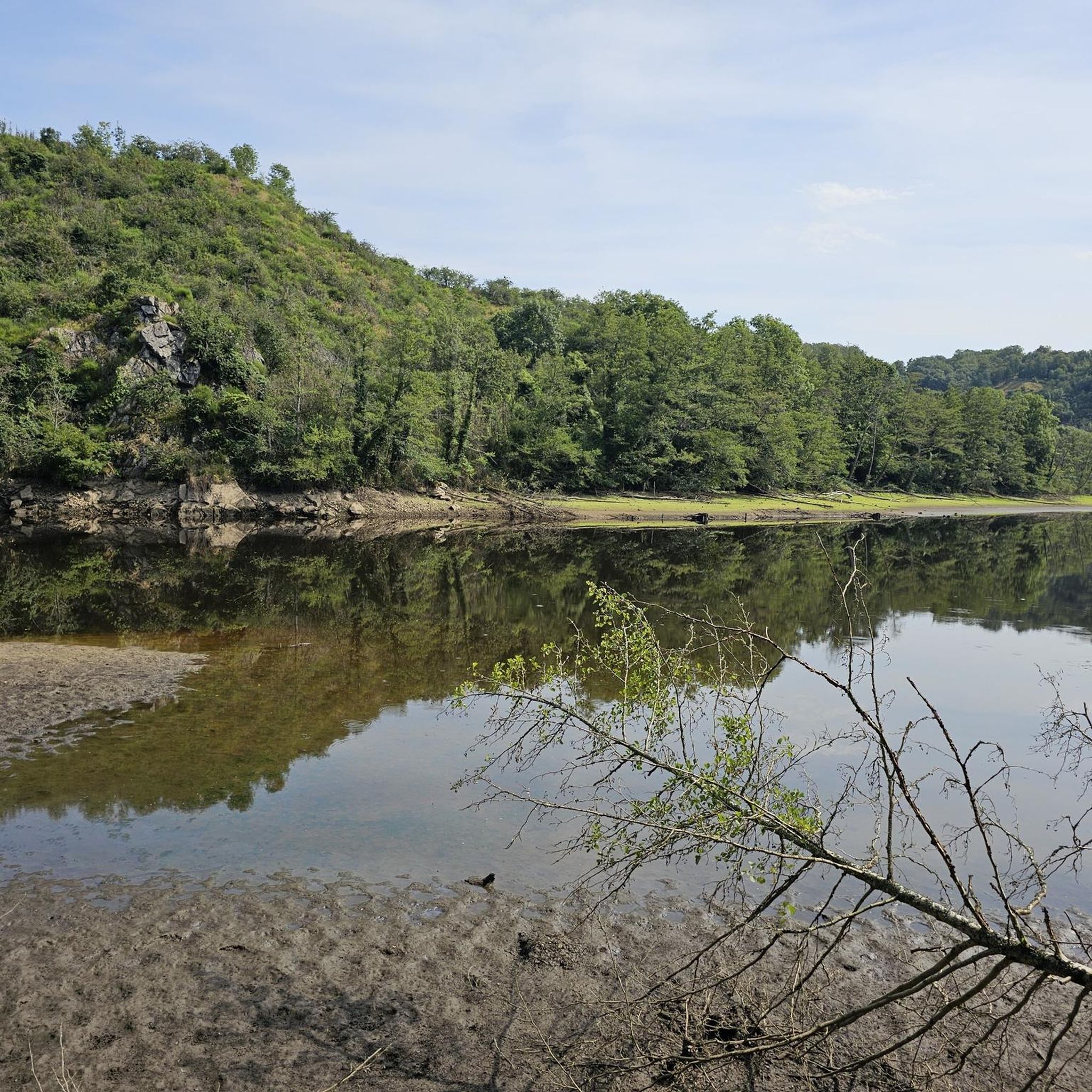
Jogging around Malicornay, located in the Indre department of France, offers access to diverse natural landscapes. The region is characterized by the scenic Creuse Valley, featuring varied terrain and river views. Expansive forests, meadows, and the tranquil Etang communal de la Fond Fougère provide numerous running trails. This environment supports a range of outdoor activities, making it suitable for different jogging preferences.
Best jogging routes around Malicornay
- The most popular jogging route is Sentier des Bords de Creuse, a…
Last updated: July 11, 2026
6
runners
9.05km
01:06
170m
160m
Jog the moderate 5.6-mile Gargilesse loop, enjoying historic village views and the scenic Creuse valley in just over an hour.
4.5
(2)
24
runners
9.12km
01:04
80m
80m
Moderate run. Good fitness required. Mostly paved surfaces. Suitable for all skill levels.

Sign up for free
10
runners
16.2km
02:06
470m
470m
Hard run. Very good fitness required. Sure-footedness, sturdy shoes and alpine experience required.
11
runners
15.8km
01:55
410m
410m
Hard run. Very good fitness required. Mostly paved surfaces. Suitable for all skill levels.
5.0
(1)
9
runners
11.5km
01:17
140m
140m
Moderate run. Good fitness required. Mostly paved surfaces. Suitable for all skill levels.
Get access to more routes and recommendations from other explorers.
Sign up for free
Already have an account?
Our route recommendations are based on thousands of hikes, rides, and runs completed by other people on komoot.
Start today with a free account
Your next adventure awaits.
Login or Signup

Tips from the Community

In the Creuse valley lies the picturesque village of Gargilesse-Dampierre. The village is listed as one of the most beautiful villages in France. And I can see why: the romantic charm of the closely packed houses with their steep, brown-tiled roofs, which surround the castle. Truly artistic, picturesque, and charismatic. It's wonderful to take a walk in this area and have a drink at one of the restaurants. Especially the restaurant at the top, where you have a magnificent view of the village and the castle.
3
0


Enjoy a panoramic view of the Creuse from this viewpoint located approximately 200 meters above sea level.
0
0

Enjoy panoramic views of the Creuse from this vantage point located approximately 200 meters above sea level.
2
0
From the outside, this church may look like any other, but I recommend taking a look inside. The interior of the church was decorated in bright colors in the 1970s by a Bolivian artist, Jorge Carrasco. A must see.
2
0
This castle is actually the local town hall. It sits within its own moat and originally had a drawbridge which was replaced with a permanent bridge. The original building dates back to the 11th century.
2
0
Enjoy a panoramic view of the Creuse River from this viewpoint located approximately 200 meters above sea level.
3
0
Frequently Asked Questions
How many running routes are available around Malicornay?
There are nearly 80 running routes around Malicornay, catering to various fitness levels. You'll find options ranging from easy paths to more challenging trails through the scenic landscape.
Are there any easy jogging routes suitable for beginners in Malicornay?
Yes, Malicornay offers 8 easy jogging routes perfect for beginners or those looking for a relaxed run. These trails typically feature gentler terrain and shorter distances, allowing you to enjoy the natural surroundings at a comfortable pace.
What kind of natural landscapes can I expect to see while jogging in Malicornay?
Jogging in Malicornay immerses you in diverse natural landscapes. You'll experience the picturesque Creuse Valley with its varied terrain and river views, as well as expansive forests, lush meadows, and the tranquil Etang communal de la Fond Fougère. The region is known for its rich natural environment, offering a refreshing outdoor experience.
Are there any circular running routes in the Malicornay area?
Many of the running routes around Malicornay are circular, allowing you to start and finish at the same point. For example, the difficult Running loop from Gargilesse-Dampierre is a popular circular option, covering 22.8 km through the local landscape.
What do other runners enjoy most about the trails in Malicornay?
The running trails in Malicornay are highly rated by the komoot community, with an average score of 4.2 stars. Over 400 runners have explored the area, often praising the diverse terrain, the scenic beauty of the Creuse Valley, and the well-maintained paths that offer a real breath of fresh air and freedom.
Can I find family-friendly jogging routes near Malicornay?
While specific 'family-friendly' routes aren't explicitly categorized, the 8 easy routes available around Malicornay are generally suitable for families looking for a gentle jog or walk together. The tranquil environment of places like the Etang communal de la Fond Fougère also provides a pleasant setting for outdoor activities with children.
Are there any historical or cultural sights to see along the jogging routes?
Yes, jogging in the Malicornay area can lead you past charming villages and historical sites. You might discover places like Gargilesse-Dampierre, known for its artistic heritage, or even catch glimpses of structures like the Cluis-Dessous Castle. The region's rich history often blends seamlessly with its natural beauty.
What is a good moderate running route to try in Malicornay?
A great moderate option is the Sentier des Bords de Creuse. This 9.0 km trail takes about 1 hour and 5 minutes to complete and follows the picturesque banks of the Creuse River, offering beautiful views without being overly strenuous.
Are there any challenging running trails for experienced runners?
Absolutely. For experienced runners seeking a challenge, Malicornay offers 10 difficult routes. A notable option is the Gargilesse-Dampierre loop from Gargilesse-Dampierre, a 16.0 km trail that includes significant elevation changes, providing a demanding and rewarding experience.
Where can I find parking for jogging trails in Malicornay?
While specific parking locations for each trail are not detailed here, many routes around Malicornay, especially those starting from villages like Gargilesse-Dampierre or near the Etang communal de la Fond Fougère, typically have accessible parking areas. It's advisable to check the starting point of your chosen route on komoot for more precise parking information.
Are there any running routes that pass by the Etang communal de la Fond Fougère?
Yes, the Etang communal de la Fond Fougère is a tranquil spot near Malicornay that serves as an excellent starting point for various trails. Joggers can enjoy peaceful circuits around the pond, taking in the calm reflections on the water and the verdant surroundings.
What is the best time of year for jogging in Malicornay?
The region's lush forests, expansive meadows, and numerous lakes make it enjoyable for jogging throughout much of the year. Spring and autumn offer pleasant temperatures and vibrant scenery, while summer provides longer daylight hours. Even winter can be beautiful, with crisp air and serene landscapes, though some paths might require appropriate footwear.
Most popular attractions around Malicornay

Get inspired with the komoot mobile app


Explore more
Browse the best Running Trails & Routes in other regions.
