The best mountain hikes around Doppleschwand
5.0
(7)
98
hikers
4
hikes
Mountaineering routes around Doppleschwand are situated within the UNESCO Biosphere Entlebuch, a region characterized by its diverse natural and cultural landscapes. The terrain features prominent mountains like Napf (1,406 meters) and the dramatic karst formations of Schrattenfluh, offering varied elevations and challenging ascents. Dense forests, extensive moorlands, and alpine meadows define the landscape, providing a range of environments for mountain sports.
Best mountaineering routes around Doppleschwand
- The most popular mountaineering route is Hengst Peak near Schimbrig loop from Gfellen,…
Last updated: July 6, 2026
5.0
(1)
15
hikers
7.52km
03:49
650m
650m
Hard mountaineering route. Good fitness required. Sure-footedness, sturdy shoes and alpine experience required.
17
hikers
8.81km
04:34
710m
710m
Hard mountaineering route. Good fitness required. Sure-footedness, sturdy shoes and alpine experience required.

Sign up for free
5.0
(1)
19
hikers
5.24km
02:59
530m
530m
Hard mountaineering route. Good fitness required. Sure-footedness, sturdy shoes and alpine experience required.
5.0
(2)
13
hikers
12.8km
05:24
800m
790m
Hard mountaineering route. Very good fitness required. Sure-footedness, sturdy shoes and alpine experience required.
6
hikers
Moderate mountaineering route. Good fitness required. Easily-accessible paths. Suitable for all skill levels.
Our route recommendations are based on thousands of hikes, rides, and runs completed by other people on komoot.
Start today with a free account
Your next adventure awaits.
Login or Signup
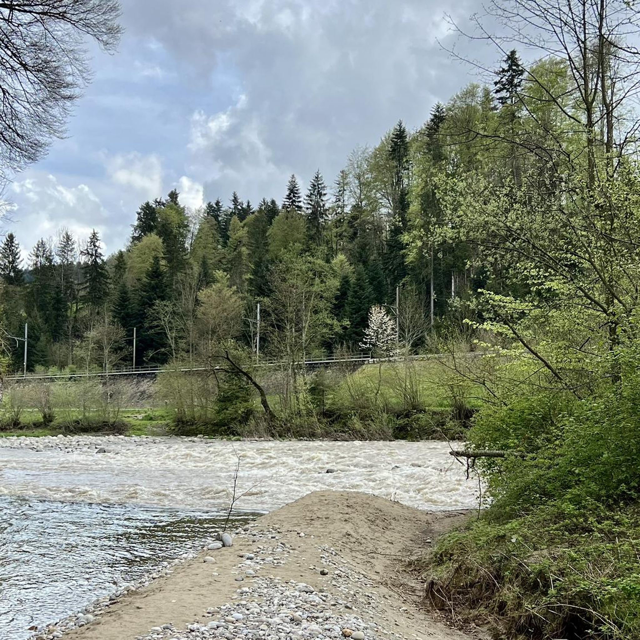
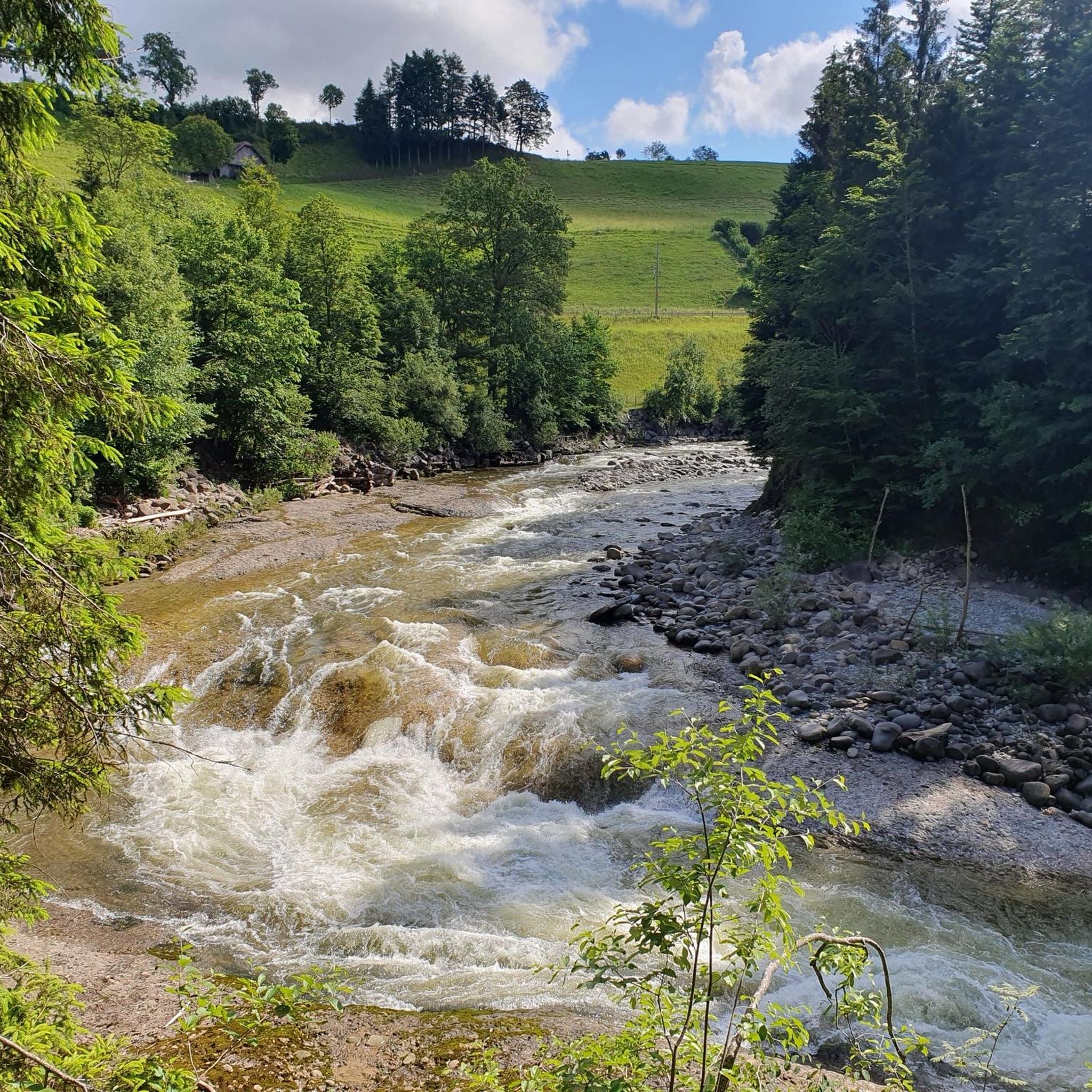
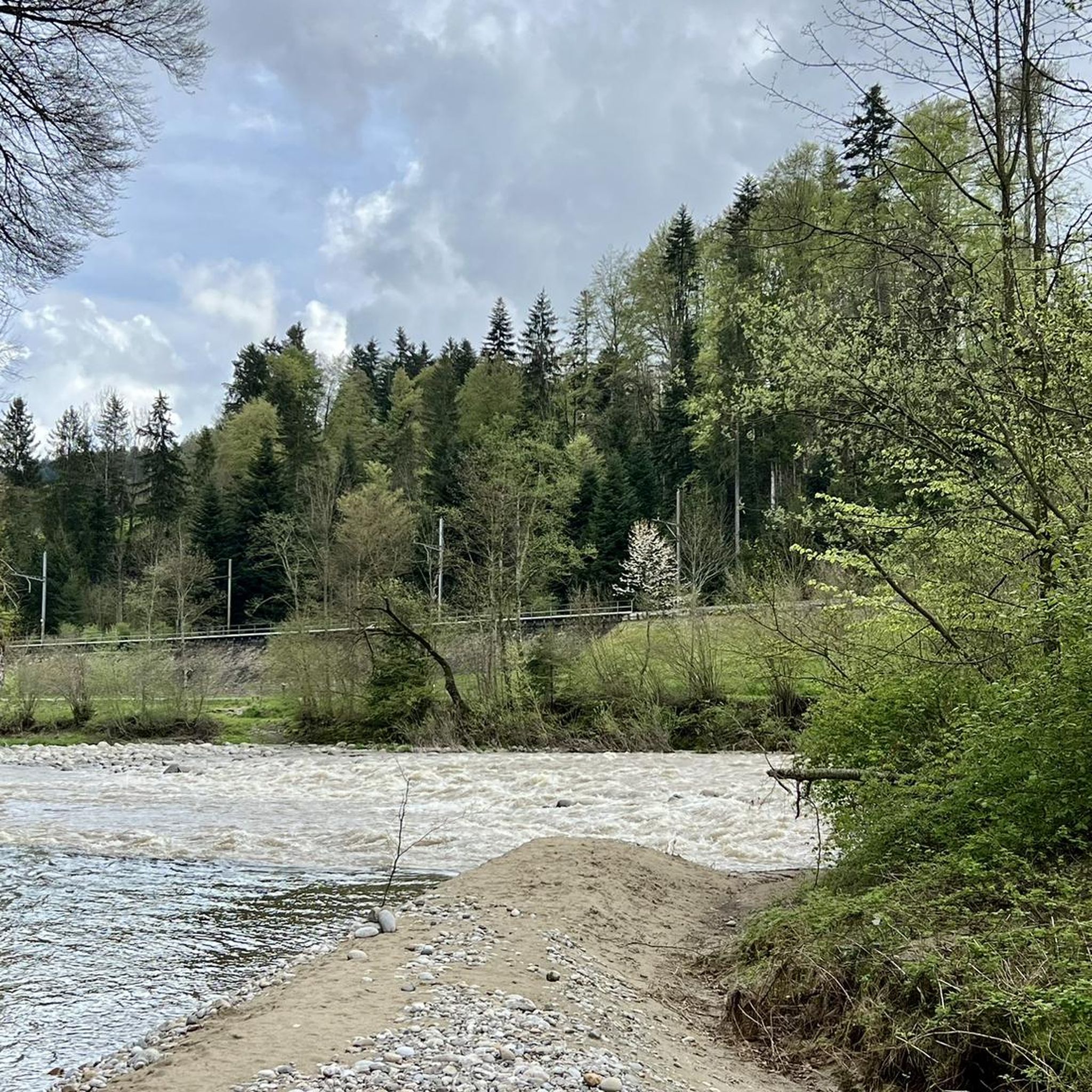
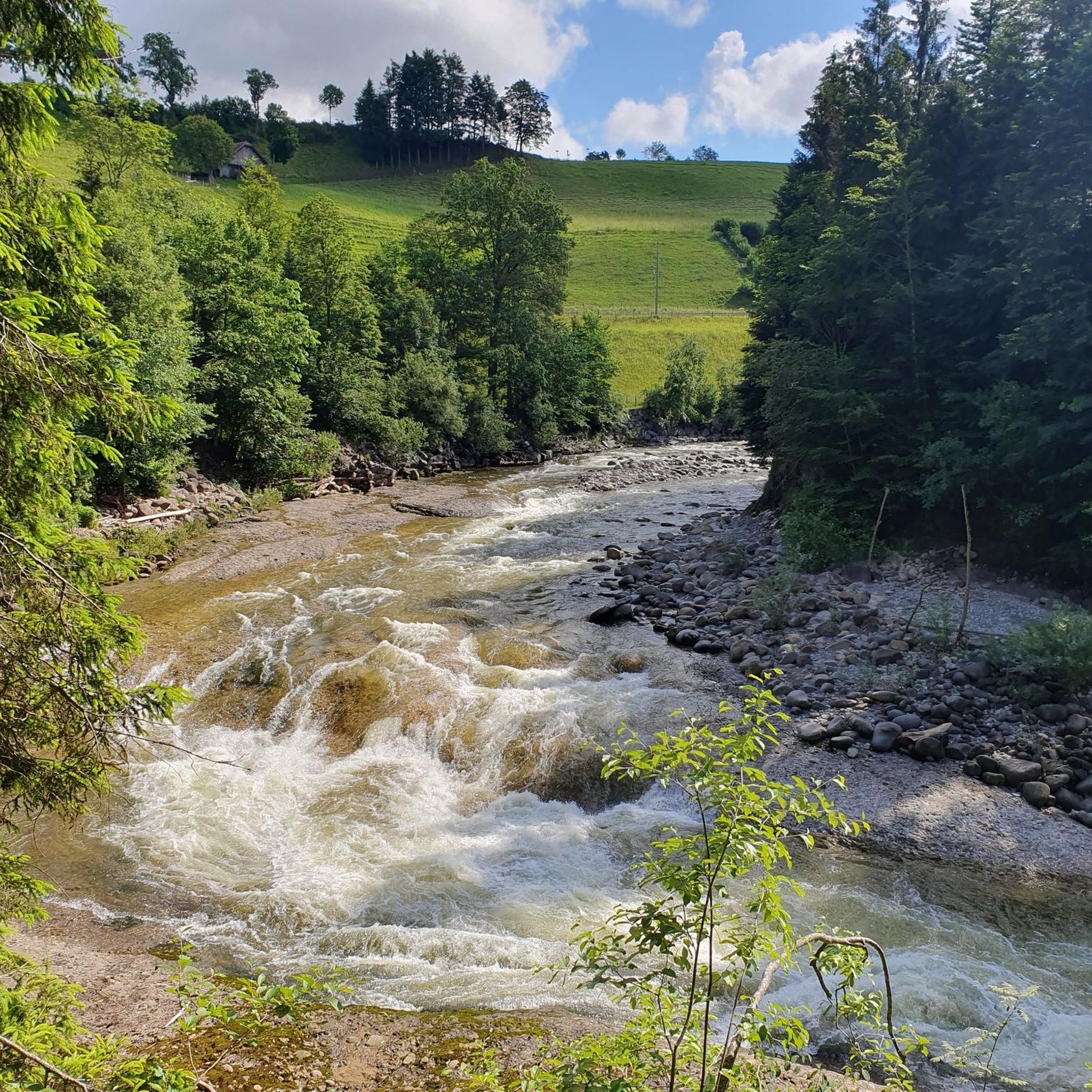
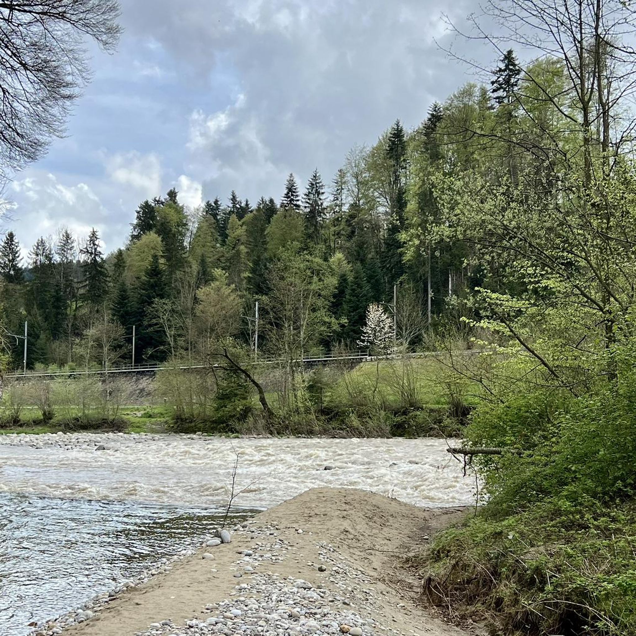

Tips from the Community

very pretty, this area
1
0
super cool tour to the Napf
1
0
Frequently Asked Questions
What kind of terrain can I expect on mountaineering routes around Doppleschwand?
Mountaineering routes in Doppleschwand are primarily situated within the UNESCO Biosphere Entlebuch, offering a diverse landscape. You'll encounter prominent mountains like Napf and the dramatic karst formations of Schrattenfluh. The terrain features varied elevations, dense forests, extensive moorlands, and alpine meadows. Some trails, particularly on the Schrattenfluh, can be technical, requiring sure-footedness and potentially involving ropes or ladders.
Are there any moderate mountaineering routes suitable for those looking for a less strenuous challenge?
Yes, while many routes are challenging, there are options for moderate difficulty. For example, the Hapfigchnubel loop from Napf is a moderate 7.0 km trail that takes about 2 hours 32 minutes to complete. This route leads through the scenic ridges and forests of the Napf region.
What are some of the more challenging mountaineering routes in the Doppleschwand area?
For experienced mountaineers seeking a challenge, routes like the Hengst Peak near Schimbrig loop from Gfellen offer sustained climbing through varied mountain terrain. This difficult route spans 12.9 km and typically takes around 5 hours 26 minutes. Another demanding option is the Mittagsgüpfi 1917 meters – Tripolihütte loop from Äner Stäfeli, which ascends to Mittagsgüpfi, providing panoramic views.
Are there any circular mountaineering routes available?
Yes, many of the mountaineering routes around Doppleschwand are designed as loops, allowing you to start and end at the same point. Examples include the difficult Hengst Peak near Schimbrig loop from Schimbrig, and the moderate Hapfigchnubel loop from Napf.
What kind of natural features or landmarks can I expect to see along the mountaineering routes?
The region is rich in natural beauty. You can expect to see extensive moorlands, dense forests, and alpine meadows. Prominent landmarks include the Napf Summit & Panoramic Viewpoint, offering views from the Jura mountains to the Bernese and Central Swiss Alps. The dramatic karst landscape of Schrattenfluh, with its unique rock formations, is also a significant feature.
Are there any huts or shelters available along the trails for breaks or overnight stays?
Yes, there are several huts and mountain inns in the region that can serve as resting points or for overnight stays. Notable options include the Tripolihütte, the Stächelegg Mountain Inn, and the Hochänzi Alp. These can be found along various routes, including the Mittagsgüpfi 1917 meters – Tripolihütte loop from Äner Stäfeli.
What do other mountaineers say about the routes in Doppleschwand?
The mountaineering routes around Doppleschwand are highly regarded by the komoot community, with an average rating of 5.0 stars from over 7 reviews. Many users appreciate the varied terrain, from challenging ascents to scenic ridges, and the stunning natural environment of the UNESCO Biosphere Entlebuch.
What is the typical duration for mountaineering routes in Doppleschwand?
The duration of mountaineering routes varies depending on their length and difficulty. For instance, a moderate route like the Hapfigchnubel loop from Napf can be completed in about 2 hours 32 minutes. More difficult and longer routes, such as the Hengst Peak near Schimbrig loop from Gfellen, typically take around 5 hours 26 minutes.
Are there any specific viewpoints that offer exceptional panoramic views?
Absolutely. The Napf Summit & Panoramic Viewpoint is renowned as the highest viewpoint between Emmental and Entlebuch, offering extensive vistas from the Jura mountains to the Bernese and Central Swiss Alps. Another excellent spot is Ochs with Godi's panorama bench.
Can I find routes that are suitable for families with children?
While many mountaineering routes in Doppleschwand are challenging, the broader UNESCO Biosphere Entlebuch offers diverse outdoor experiences. For families, consider exploring areas with easier trails or specific attractions like the Mooraculum Adventure Park, which playfully conveys knowledge about the region's unique moorlands. For rock climbing, Fürstein is noted as a sun-drenched, family-friendly area with exemplary safety.
What makes the UNESCO Biosphere Entlebuch unique for mountaineering?
The UNESCO Biosphere Entlebuch, often called the 'Wild West of Lucerne,' is Switzerland's first UNESCO Biosphere Reserve. It's unique for its well-preserved natural and cultural landscapes, featuring the largest and most numerous moorlands in Switzerland, striking karst terrains, and diverse flora and fauna. This designation ensures a pristine environment for mountaineering, offering a blend of challenging trails and breathtaking natural beauty.
Most popular routes around Doppleschwand
Most popular attractions around Doppleschwand

Get inspired with the komoot mobile app


Explore more
Browse the best Mountain Hikes & Routes in other regions.
