The best mountain hikes around Gisikon
5.0
(4)
100
hikers
4
hikes
Mountaineering routes around Gisikon are situated in the Reuss valley, at the foot of the Rooterberg mountain, which rises to 840 meters (2,756 ft). The landscape features extensive forests, including the Gisiker Wald, and the Reuss River flowing through the municipality. While Gisikon itself offers accessible trails, the nearby Rigi mountain provides a range of mountaineering routes with significant elevation gains and views of the Alps and Lake Lucerne.
Best mountaineering routes around Gisikon
- The most popular mountaineering route is…
Last updated: October 9, 2026
5.0
(3)
67
hikers
9.24km
04:13
740m
740m
Moderate mountaineering route. Good fitness required. Mostly accessible paths. Sure-footedness required.
5.0
(1)
15
hikers
11.0km
05:48
940m
940m
Hard mountaineering route. Very good fitness required. Sure-footedness, sturdy shoes and alpine experience required.

11
hikers
18.3km
07:40
1,340m
1,340m
Hard mountaineering route. Very good fitness required. Sure-footedness, sturdy shoes and alpine experience required.
7
hikers
14.7km
07:02
1,300m
1,300m
Hard mountaineering route. Very good fitness required. Sure-footedness, sturdy shoes and alpine experience required.
Our route recommendations are based on thousands of hikes, rides, and runs completed by other people on komoot.
Start today with a free account
Your next adventure awaits.
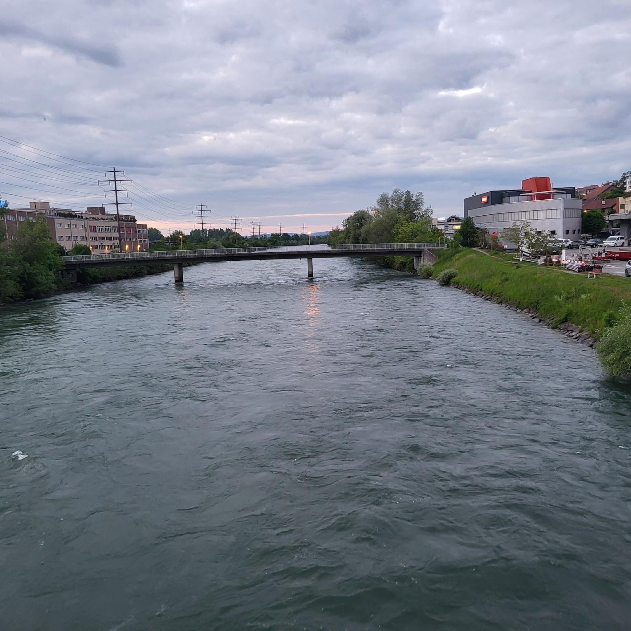
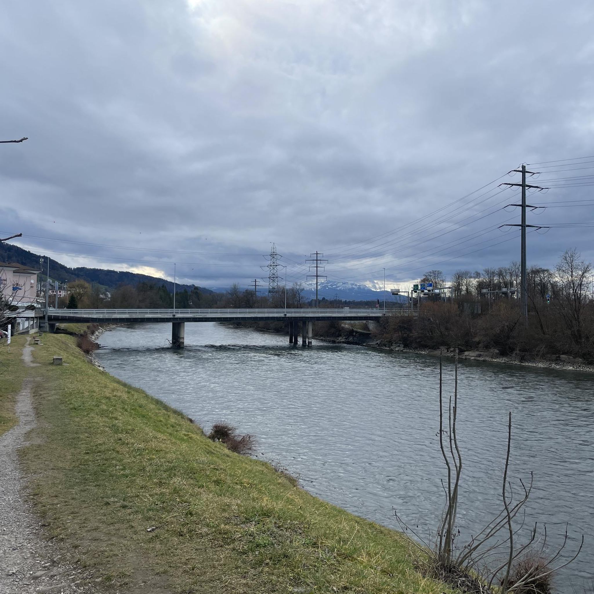
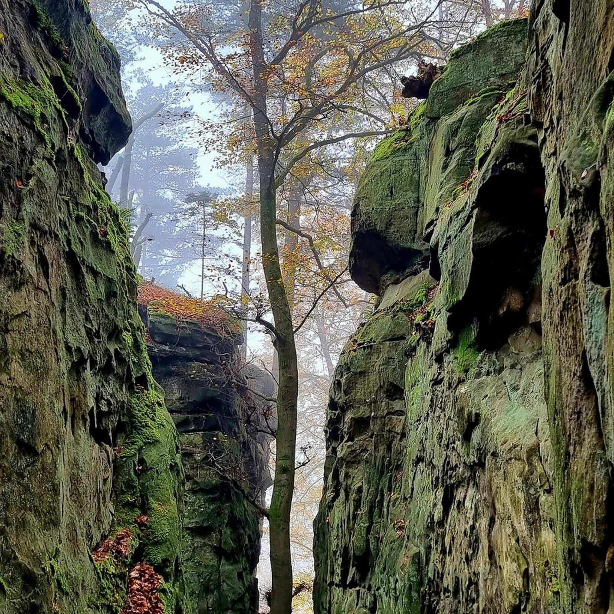
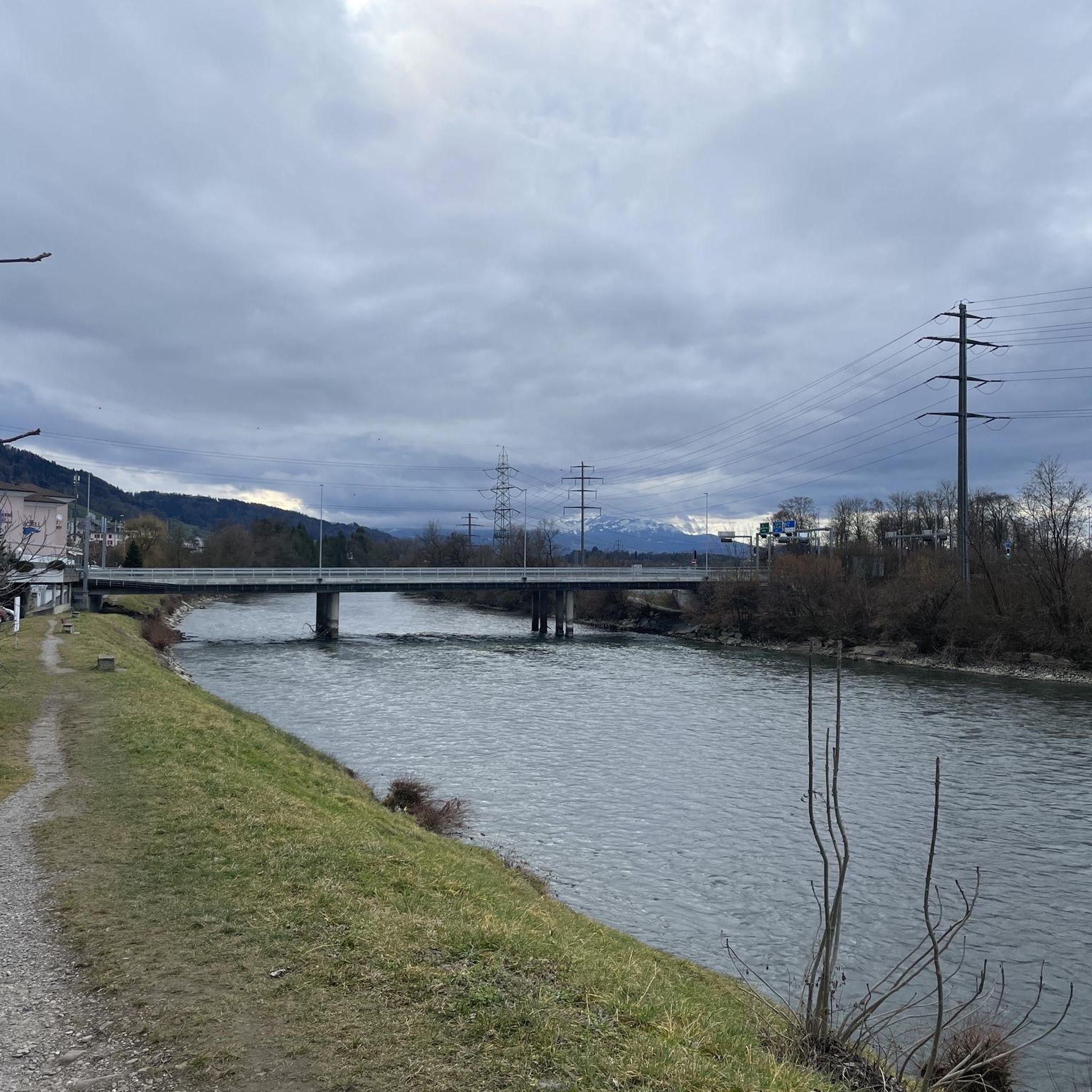
Tips from the Community


Steep and partly exposed, requires a good head for heights, sure-footedness and sturdy footwear
1
0
This trail is only for those who are not afraid of heights, have sure footing, and are equipped with good shoes. Very steep and partly exposed sections. There are a few scrambling sections, well secured with ropes and chains.
0
0

A large stone from China, from the Chinese twin city there.
1
0


A very popular photo motif on the Kulm, especially among Asian guests.
1
0
Frequently Asked Questions
What types of terrain can I expect on mountaineering routes near Gisikon?
Mountaineering routes around Gisikon primarily involve ascents on the Rigi mountain, offering varied mountain terrain. You'll encounter forested paths, open slopes, and trails that provide panoramic views over Lake Lucerne and the Alps. While Gisikon itself is known for accessible trails in the Reuss valley and Gisiker Wald, the more challenging mountaineering experiences are found on nearby Rigi.
Are there any circular mountaineering routes available?
Yes, several popular mountaineering routes around Gisikon are circular. For example, the Rigi Kulm loop from Rigi is a moderate 5.7-mile (9.2 km) trail, and the more difficult Rigi Kulm – Rigiweg Trail loop from Rigi covers 7.6 miles (12.3 km).
What are some notable viewpoints or landmarks along the mountaineering routes?
While the mountaineering routes themselves offer stunning panoramic views from Rigi Kulm over Lake Lucerne and the Alps, the broader Gisikon area also features several points of interest. You might enjoy the Känzeli Viewpoint for excellent views over Lake Lucerne and the Alps, or the historic Michaelskreuz Chapel on the Rooterberg, which also provides impressive vistas.
How many mountaineering routes are there in the Gisikon area?
There are over 5 mountaineering routes detailed in this guide for the Gisikon area, primarily focusing on the Rigi mountain. These routes range in difficulty from moderate to difficult, catering to various experience levels.
What is the best time of year for mountaineering near Gisikon?
The best time for mountaineering near Gisikon, particularly on Rigi, is generally from late spring through early autumn (May to October) when the weather is more stable and trails are clear of snow. During these months, you can fully enjoy the panoramic views and varied terrain. Winter mountaineering is also possible but requires appropriate gear and experience due to snow and ice conditions.
Are there any family-friendly mountaineering options around Gisikon?
While many of the listed mountaineering routes on Rigi are rated moderate to difficult due to significant elevation gains, the Gisikon region itself offers more accessible trails suitable for families. For a gentler experience, consider walks in the Gisiker Wald or along the Reuss River. The Feldhof Nature Reserve also has a pleasant path for all ages, leading to the KneippGarten.
What is the most challenging mountaineering route in the area?
The most challenging route listed in this guide is the Rigi Kulm loop from Küssnacht am Rigi. This difficult 11.2-mile (18.1 km) path features the highest elevation gain, climbing 4,406 feet (1,343 meters) through varied mountain terrain, making it a demanding option for experienced mountaineers.
Can I access the mountaineering routes using public transport?
Yes, the Rigi mountain, where most of the mountaineering routes are located, is well-served by public transport. You can reach various starting points for Rigi hikes via train or cogwheel railway from nearby towns like Vitznau, Goldau, or Arth. Gisikon itself has public transport connections to these larger hubs.
Are there any cafes or accommodation options near the mountaineering trails?
Yes, Rigi Kulm and other points on Rigi mountain have restaurants and cafes where you can refuel. There are also various accommodation options, from mountain hotels to guesthouses, on Rigi and in the surrounding towns like Küssnacht am Rigi or Vitznau. Gisikon also offers local amenities.
What do other mountaineers enjoy most about the routes around Gisikon?
The mountaineering routes around Gisikon are highly rated by the komoot community, with an average score of 5.0 stars. Reviewers often praise the spectacular panoramic views from Rigi Kulm, the diverse mountain terrain, and the well-maintained paths that offer a rewarding challenge.
Is there a route suitable for beginners looking for a moderate mountaineering experience?
For those seeking a moderate mountaineering experience, the Rigi Kulm loop from Rigi is a great option. It's a 5.7-mile (9.2 km) trail with a substantial elevation gain of 2,428 feet (740 meters), offering a good challenge without being overly technical.
Are there any specific permits required for mountaineering in this region?
Generally, no specific permits are required for hiking or mountaineering on the public trails around Gisikon and Rigi. However, it's always advisable to check local regulations or any specific requirements for certain areas before you go, especially if you plan to venture off marked paths.
Most popular routes around Gisikon
Most popular attractions around Gisikon

Get inspired with the komoot mobile app


Explore more
Browse the best Mountain Hikes & Routes in other regions.
