The best mountain hikes around Ruswil
4.9
(23)
160
hikers
10
hikes
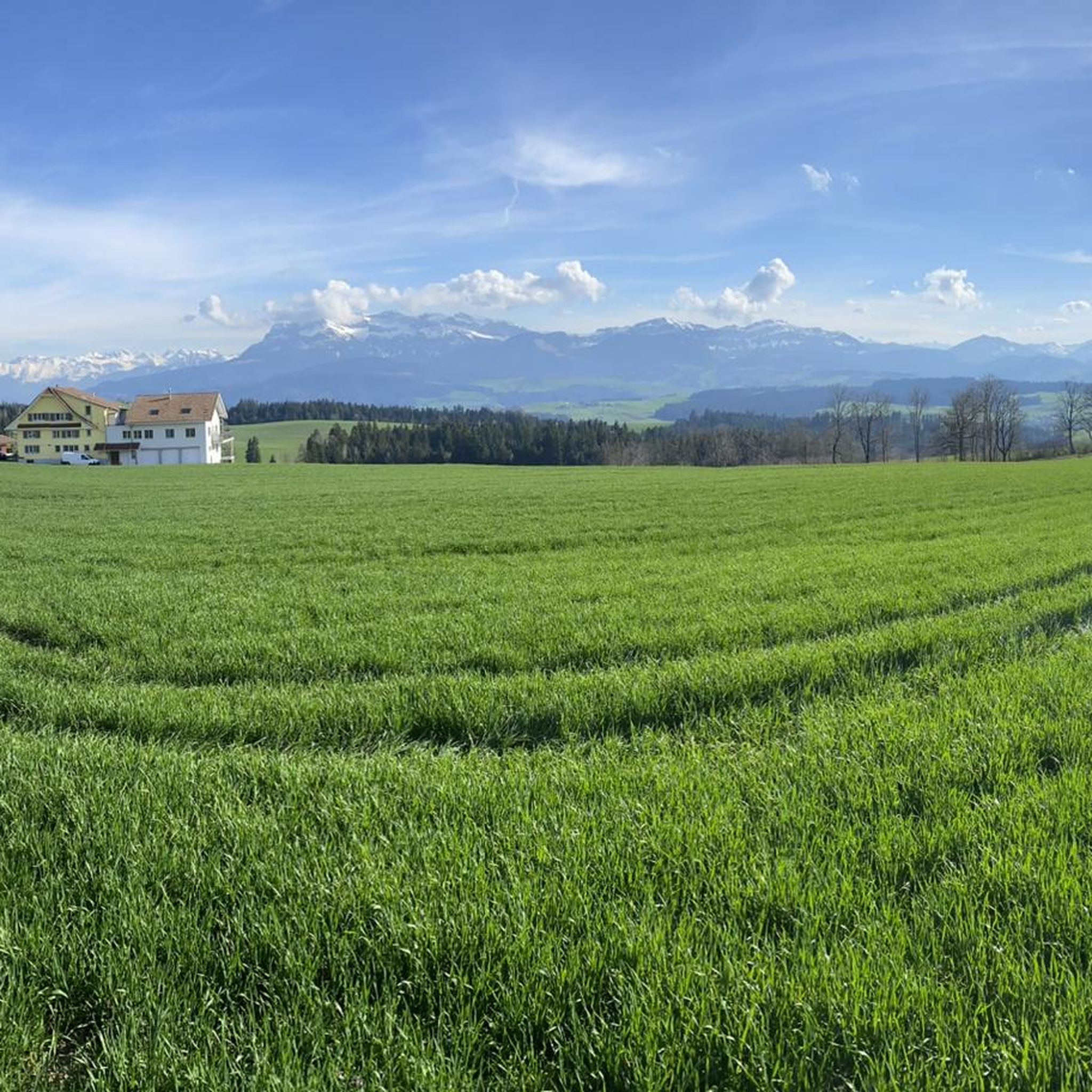
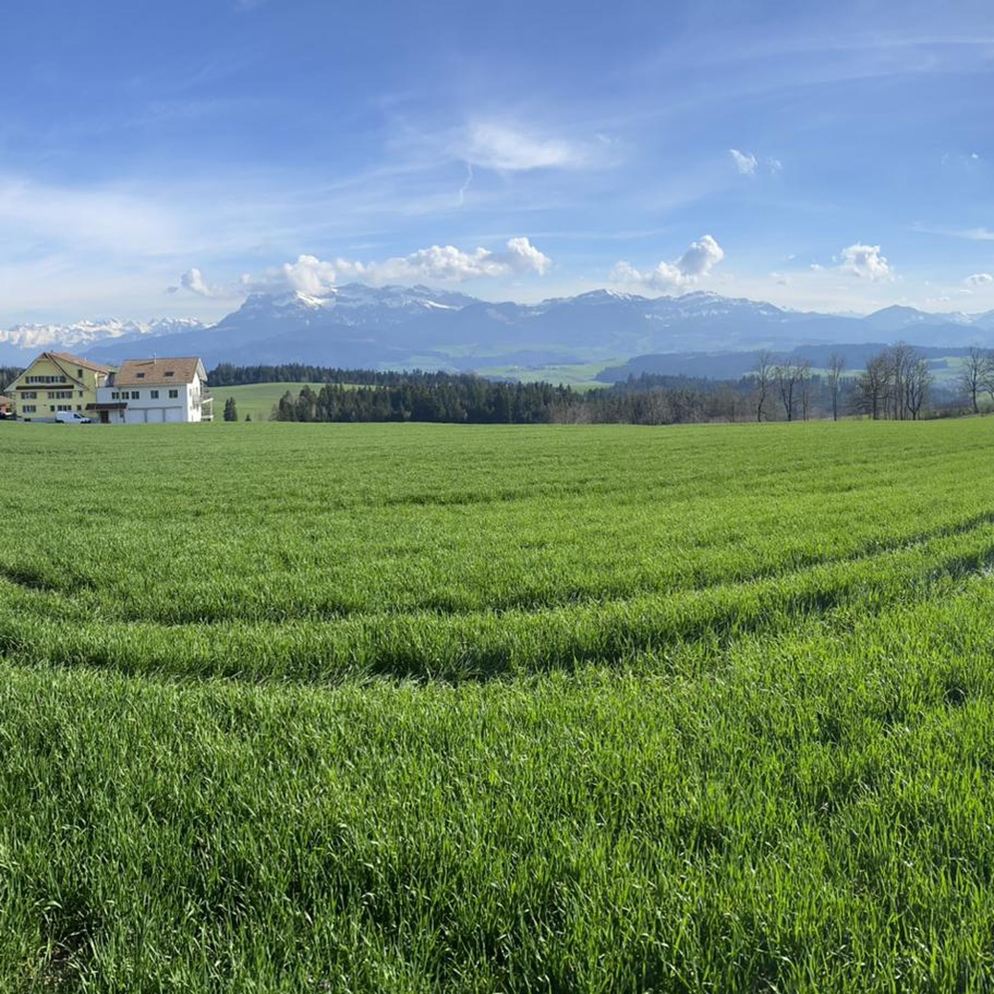
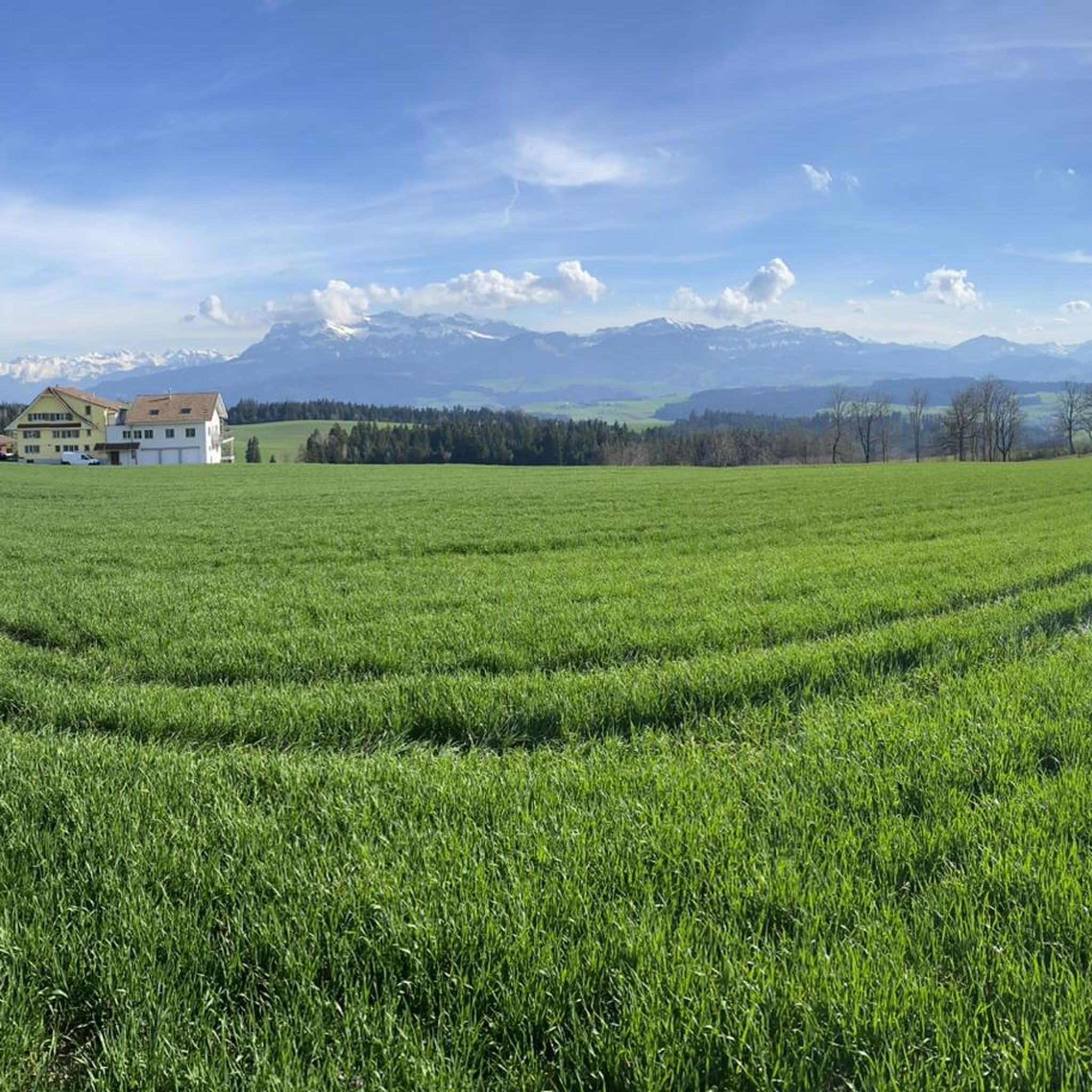
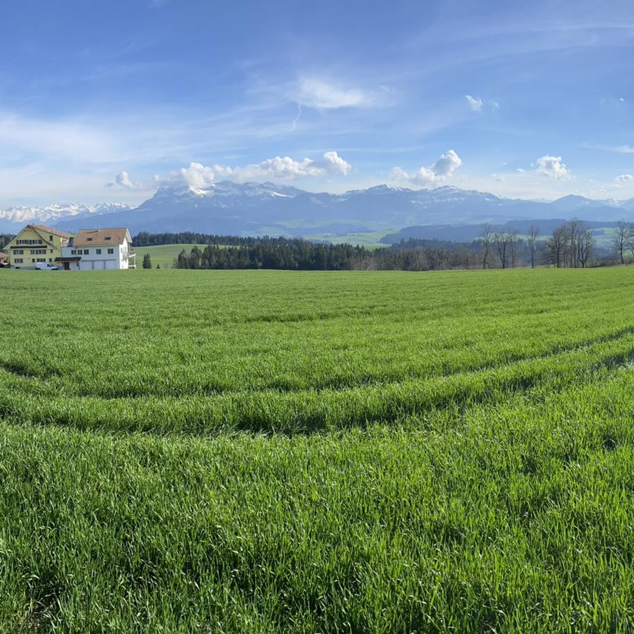
Mountaineering routes around Ruswil provide access to the diverse alpine terrain of the Canton of Lucerne, Switzerland. While Ruswil itself is characterized by the natural landscape of the Rottal and proximity to Lake Sempach, the region serves as a gateway to more challenging mountain environments. The surrounding area features significant elevation changes, offering routes that traverse varied landscapes from forested slopes to rocky ascents. These routes often lead to panoramic viewpoints overlooking Lake Lucerne and the broader Swiss Alps.
Best mountaineering routes around Ruswil
- The most popular mountaineering route is Klimsen Chapel – Pilatus Dragon Trail loop from Lindenbrücke, a 9.5 miles (15.2 km) trail that takes 7 hours 8 minutes to complete. This difficult route features significant elevation gain and leads through alpine landscapes.
- Another top favourite among local mountaineers is Klimsenhorn – Klimsen Chapel loop from Lindenbrücke, a difficult 9.2 miles (14.7 km) path. This route offers sustained climbing and expansive views of the surrounding peaks.
- Local mountaineers also love the View of Lake Lucerne – Fräkmüntegg (1415 m) loop from Kriens, an 8.7 miles (14.0 km) trail leading through varied mountain terrain, often completed in about 5 hours 11 minutes.
- Mountaineering around Ruswil is defined by alpine ascents, panoramic views of Lake Lucerne, and challenging trails through mountainous regions. The network offers options for both moderate and difficult ability levels.
- The routes in Ruswil are highly rated by the komoot community with an average score of 4.8 stars from 21 reviews. More than 160 mountaineers have used komoot to explore Ruswil's varied terrain.
Last updated: October 9, 2026
5.0
(3)
26
hikers
15.4km
07:11
1,130m
1,130m
Hard mountaineering route. Very good fitness required. Sure-footedness, sturdy shoes and alpine experience required.
5.0
(4)
18
hikers
14.8km
06:24
990m
990m
Hard mountaineering route. Very good fitness required. Sure-footedness, sturdy shoes and alpine experience required.

5.0
(1)
12
hikers
14.2km
05:15
920m
920m
Hard mountaineering route. Very good fitness required. Mostly accessible paths. Sure-footedness required.
5.0
(1)
15
hikers
11.9km
04:23
630m
620m
Moderate mountaineering route. Good fitness required. Mostly accessible paths. Sure-footedness required.
4.0
(2)
9
hikers
9.19km
03:22
460m
460m
Moderate mountaineering route. Good fitness required. Mostly accessible paths. Sure-footedness required.
Get access to more routes and recommendations from other explorers.
Already have an account?
Our route recommendations are based on thousands of hikes, rides, and runs completed by other people on komoot.
Start today with a free account
Your next adventure awaits.
Tips from the Community

Top view ☀️ when something fills up.
0
0

A very popular excursion summit, but with a great all-round view.
1
0
Small stair ascent & descent here on the Flower Path.
1
0
Beautiful passage here on the flower path.
1
0


beautiful here😊 and definitely nicer than up by the train and the restaurant where all the tourists are 😅
0
0

Yes, there are beautiful Gristelen to linger in.
0
0
Frequently Asked Questions
How many mountaineering routes are available around Ruswil?
There are 11 mountaineering routes around Ruswil, offering a range of experiences from moderate to difficult. These routes provide access to the diverse alpine terrain of the Canton of Lucerne.
What kind of terrain can I expect on mountaineering routes near Ruswil?
The routes around Ruswil feature significant elevation changes, traversing varied landscapes from forested slopes to rocky ascents. You can expect alpine landscapes, sustained climbing, and expansive views of the surrounding peaks and Lake Lucerne.
Are there any moderate mountaineering routes for those looking for a less strenuous challenge?
Yes, there are several moderate routes. For example, the Eigenthal-Talboden Trail Sign loop from Fuchsbühl is a moderate 11.5 km trail, and the Narcissus and Orchid Meadow – Alpe Ober Lauelen loop from Lindenbrücke is another moderate option, covering about 9.2 km.
Can I find challenging mountaineering routes around Ruswil?
Absolutely. The region is known for its challenging trails. A difficult option is the Klimsen Chapel – Pilatus Dragon Trail loop from Lindenbrücke, a 15.2 km route with significant elevation gain, typically taking over 7 hours to complete.
Are there any circular mountaineering routes in the Ruswil area?
Many of the mountaineering routes around Ruswil are designed as loops. Examples include the difficult Klimsenhorn – Klimsen Chapel loop from Lindenbrücke and the moderate Eigenthal-Talboden Trail Sign loop from Fuchsbühl, allowing you to start and end at the same point.
What are some notable natural features or landmarks I might encounter on these routes?
The region offers stunning natural beauty. You might encounter panoramic viewpoints overlooking Lake Lucerne, such as those on the View of Lake Lucerne – Fräkmüntegg (1415 m) loop from Kriens. The broader area also features the intact nature of the Rottal and is close to Lake Sempach.
Are there any routes that feature waterfalls or gorges?
While not directly on the listed mountaineering routes, the region around Ruswil is home to beautiful natural features. You can explore highlights like the Wolfsschlucht Gorge or the Waterfall on the trail between Menzberg and Wolhusen, which are accessible in nearby areas.
Is Ruswil a good base for family-friendly outdoor activities, even if not technical mountaineering?
Yes, Ruswil and the surrounding Rottal region offer an excellent base for accessible outdoor recreation. While technical mountaineering routes are often challenging, the area boasts numerous hiking and cycling trails suitable for various seasons, allowing families to enjoy the natural beauty, traditional farmhouses, and cultural sites.
What is the best time of year for mountaineering around Ruswil?
The best time for mountaineering in the Swiss Alps generally depends on snow conditions and weather. Late spring through early autumn (June to September) typically offers the most favorable conditions, with less snow at higher elevations and more stable weather. Always check local forecasts and trail conditions before heading out.
Are the mountaineering routes around Ruswil generally well-regarded by other users?
Yes, the mountaineering routes in Ruswil are highly rated by the komoot community, with an average score of 4.8 stars from 21 reviews. Over 160 mountaineers have used komoot to explore the varied terrain, often praising the challenging ascents and panoramic views.
How can I access the trailheads for mountaineering routes around Ruswil?
Ruswil's location in the Canton of Lucerne provides access to various trailheads. While specific public transport details for each trailhead vary, Switzerland has an excellent public transport network. Many routes, like those starting from Lindenbrücke or Kriens, are often accessible by bus or train connections from larger towns. Parking is typically available at common starting points for popular trails.
Are there options for less crowded mountaineering experiences near Ruswil?
While some popular routes can see more traffic, the extensive network of trails in the region means you can often find quieter paths. Exploring some of the moderate routes or venturing out during off-peak hours or weekdays can lead to a more serene experience amidst the natural beauty of the Rottal.
What should I wear or prepare for when undertaking mountaineering routes in this region?
Given the significant elevation changes and alpine terrain, it's crucial to be well-prepared. Wear sturdy hiking boots with good ankle support, layer your clothing to adapt to changing weather, and bring waterproof outer layers. Carry sufficient water, snacks, a map or GPS device, and a first-aid kit. Always check the weather forecast before your tour.
Are there places to eat or stay near the mountaineering routes in Ruswil?
Ruswil itself offers local amenities, and the broader Lucerne region has numerous cafes, restaurants, and accommodation options ranging from hotels to guesthouses. Many mountain routes may also have huts or alpine restaurants along the way, especially in more popular areas, where you can stop for refreshments or even overnight stays.
Most popular attractions around Ruswil

Get inspired with the komoot mobile app


Explore more
Browse the best Mountain Hikes & Routes in other regions.
