The best running trails around Pauligne
4.6
(15)
561
runners
97
runs
Jogging routes Pauligne offer a diverse landscape for runners, situated in the Aude department of the Occitanie region in southern France. The area features local walking paths and infrequently used roads that provide scenic views of the tranquil countryside. Runners can explore varied terrain including ponds, hills, forests, and lakes, ranging from the Montagne Noire to the foothills of the Pyrenees. This hilly countryside provides invigorating runs with elevation changes, suitable for different levels of challenge.
Best jogging routes around…
Last updated: July 4, 2026
26
runners
12.3km
01:38
410m
410m
Hard run. Very good fitness required. Mostly paved surfaces. Suitable for all skill levels.
5.0
(1)
9
runners
13.2km
01:25
150m
150m
Moderate run. Good fitness required. Mostly paved surfaces. Suitable for all skill levels.

Sign up for free
5.0
(1)
12
runners
Moderate run. Good fitness required. Mostly paved surfaces. Suitable for all skill levels.
4
runners
9.46km
01:00
130m
130m
Moderate run. Good fitness required. Mostly paved surfaces. Suitable for all skill levels.
5
runners
14.4km
01:33
170m
170m
Moderate run. Good fitness required. Mostly paved surfaces. Suitable for all skill levels.
Get access to more routes and recommendations from other explorers.
Sign up for free
Already have an account?
Our route recommendations are based on thousands of hikes, rides, and runs completed by other people on komoot.
Start today with a free account
Your next adventure awaits.
Login or Signup
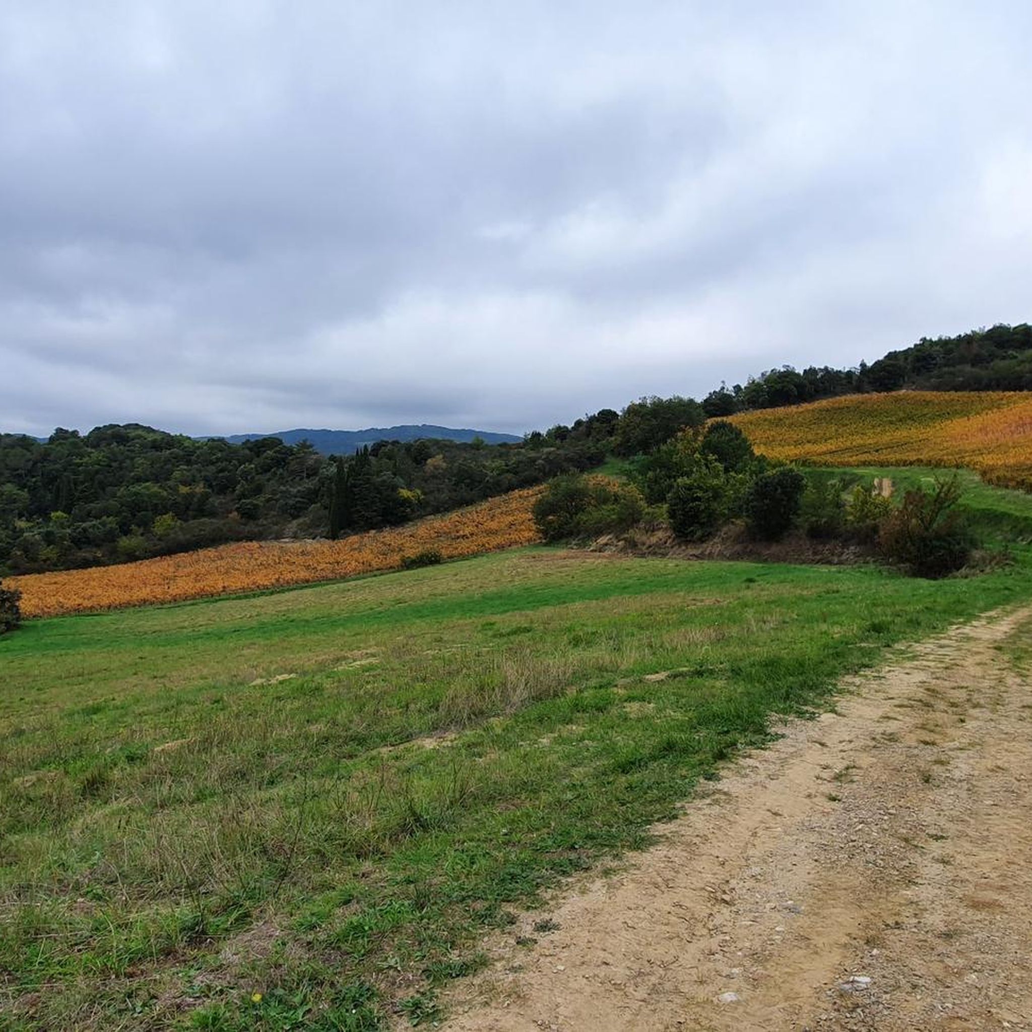
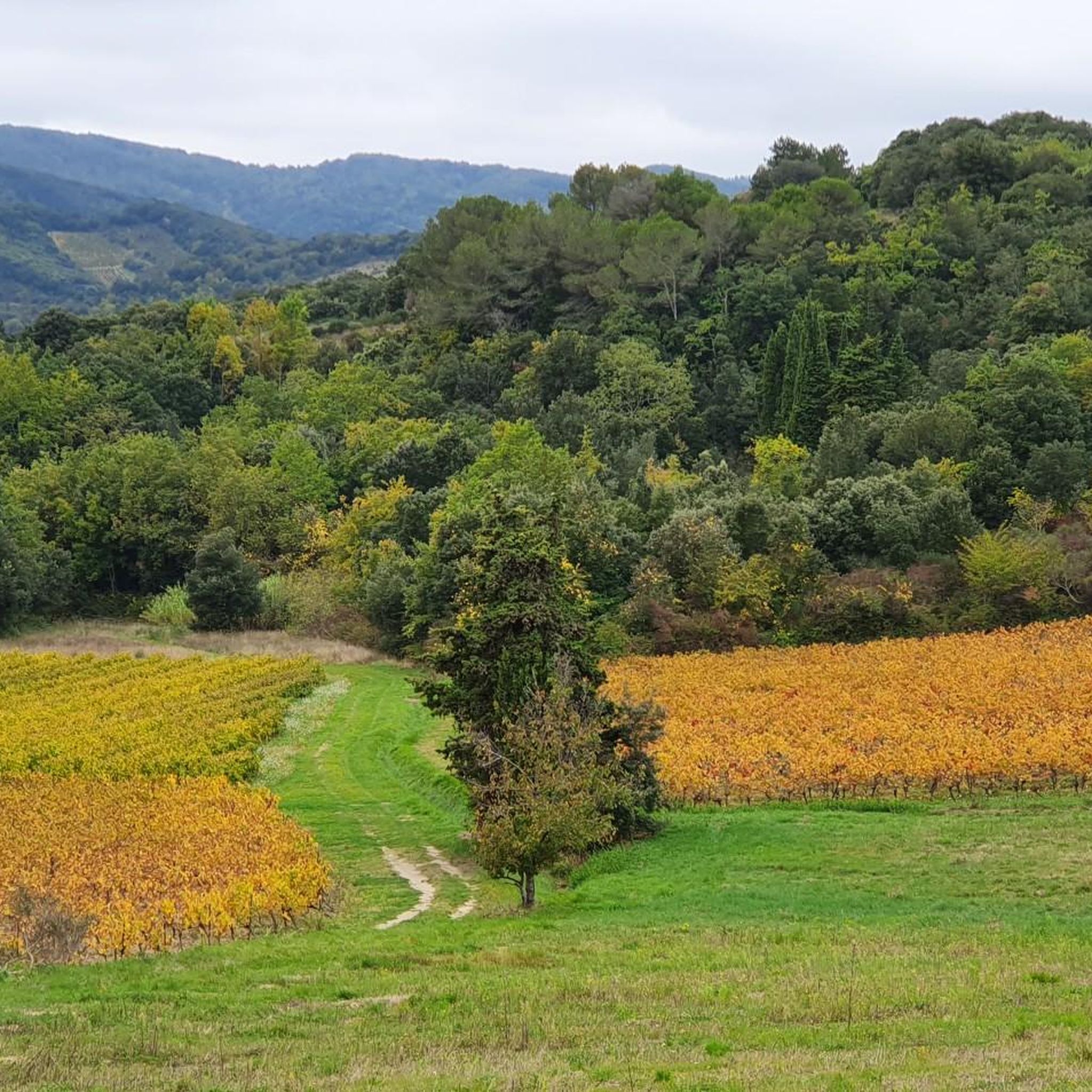


Tips from the Community

Between Tourreilles and Magrie
3
0
Frequently Asked Questions
How many running routes are available around Pauligne?
There are over 100 running routes available around Pauligne, offering a wide variety of experiences for joggers of all levels. The komoot community has explored more than 100 tours in the area.
What kind of terrain can I expect on running trails near Pauligne?
The Pauligne area, situated in the Aude department, offers a diverse landscape for runners. You can expect varied terrain including local walking paths, infrequently used roads, hills, forests, and even some ponds and lakes. The region's hilly nature provides invigorating runs with elevation changes, from gentle slopes to more demanding inclines.
What do other runners say about the trails in Pauligne?
The running routes in Pauligne are highly rated by the komoot community, with an average score of 4.9 stars from 8 reviews. Over 500 runners have used komoot to explore Pauligne's varied terrain, often praising the scenic views and the diverse challenges offered by the hilly countryside.
Are there easy running paths suitable for beginners in Pauligne?
Yes, while the area is known for its hilly terrain, there is at least 1 easy running route available around Pauligne. These paths are generally less demanding, making them suitable for beginners or those looking for a more relaxed jog.
Are there challenging running routes for experienced runners in Pauligne?
Absolutely. For experienced runners seeking a challenge, Pauligne offers 36 difficult running routes. An example is the On the hills loop from La Digne-d'Aval, which features challenging climbs and panoramic views over the surrounding hills.
Are the jogging routes around Pauligne suitable for families?
Many of the local walking paths and less-trafficked roads around Pauligne are suitable for families, especially those looking for a gentle jog or walk. While specific 'family-friendly' routes are not explicitly categorized, the varied terrain allows for choosing paths that match different fitness levels. For easier, paved options, consider trails around nearby Limoux, such as the 'Tour du Lac de la Cavayère' near Carcassonne.
Can I bring my dog on the running trails in Pauligne?
Generally, dogs are welcome on many of the natural trails and rural roads around Pauligne. However, it's always advisable to keep your dog on a leash, especially in agricultural areas or near livestock, and to check for any local signage regarding pet restrictions. Ensure you carry water for your dog and clean up after them.
Are there circular running routes available in the Pauligne area?
Yes, many of the running routes around Pauligne are designed as loops, offering a convenient way to start and end your run in the same location. Examples include the La Digne-d'Aval loop from La Digne-d'Amont and the Between Tourreilles and Magrie – Château de Flandry loop from La Digne-d'Aval.
What are some scenic viewpoints or landmarks I can see while running near Pauligne?
While running near Pauligne, you can enjoy scenic views of the tranquil countryside and the diverse landscapes of the Aude department. Notable points of interest include the Brau Peak, which offers excellent vistas. The Between Tourreilles and Magrie – Château de Flandry loop from La Digne-d'Aval also leads past historical points of interest.
What is the best season for running in Pauligne?
The Aude department, where Pauligne is located, offers pleasant running conditions for much of the year. Spring and autumn are particularly ideal, with mild temperatures and beautiful natural scenery. Summer can be warm, making early morning or late evening runs preferable, especially in forested areas for shade. Winter runs are also possible, though conditions may vary.
Are there running trails near Pauligne that connect to other towns like Limoux?
Pauligne's location provides good access to trails that can lead towards or around nearby towns like Limoux, which is only 5km away. Limoux itself is a hub for various running trails catering to different fitness levels. While specific connecting routes are not detailed here, the network of rural roads and paths allows for longer runs between villages.
Where can I find parking for the running trails near Pauligne?
Parking for running trails around Pauligne is typically available in the villages where routes begin, such as La Digne-d'Aval or La Digne-d'Amont. As many routes utilize infrequently used roads and local paths, you can often find convenient parking spots in or near these starting points. Always ensure you park responsibly and do not obstruct local access.
Most popular attractions around Pauligne

Get inspired with the komoot mobile app


Explore more
Browse the best Running Trails & Routes in other regions.
