The best mountain hikes around Bolquère
4.7
(11)
54
hikers
13
hikes
Mountaineering around Bolquère offers a diverse landscape characterized by high peaks, alpine lakes, and varied elevations. The region features prominent summits like Peak Carlit and Cambre d'Aze, providing challenging ascents and expansive views. Numerous trails traverse through mountainous terrain, often starting from picturesque locations such as Lac des Bouillouses.
Best mountaineering routes around Bolquère
- The most popular mountaineering route is Les Bones Hores Bar & Restaurant – Peak Carlit loop from Lac des Bouillouses, a 9.6 miles (15.4 km) trail that takes 6 hours 52 minutes to complete. This difficult route features a challenging ascent to Peak Carlit.
- Another top favourite among local mountaineers is Les Bones Hores Bar & Restaurant – Peak Carlit loop from Pla des Avellans, a difficult 15.1 miles (24.4 km) path. This longer route also leads to Peak Carlit, offering extensive mountain scenery.
- Local mountaineers also love the Cambre d'Aze Summit loop from Eyne, a 7.1 miles (11.5 km) trail leading through high mountain passes and offering summit views, often completed in about 4 hours 46 minutes.
- Mountaineering around Bolquère is defined by high mountain peaks, alpine lakes, and challenging ascents. The network offers options for easy, moderate, and advanced mountaineering trails, catering to various skill levels.
- The routes in Bolquère are highly rated by the komoot community with an average score of 4.7 stars from over 20 reviews. More than 100 mountaineers have used komoot to explore Bolquère's varied terrain.
Last updated: July 15, 2026
5.0
(1)
9
hikers
11.5km
04:46
920m
920m
Hard mountaineering route. Very good fitness required. Easily-accessible paths. Suitable for all skill levels.
5.0
(2)
9
hikers
8.03km
02:54
260m
260m
Moderate mountaineering route. Good fitness required. Mostly accessible paths. Sure-footedness required.

Sign up for free
5.0
(1)
6
hikers
19.2km
08:34
1,270m
1,270m
Hard mountaineering route. Very good fitness required. Sure-footedness, sturdy shoes and alpine experience required.
4.7
(3)
10
hikers
12.6km
04:34
370m
370m
Moderate mountaineering route. Good fitness required. Mostly accessible paths. Sure-footedness required.
3.0
(1)
3
hikers
5.45km
01:34
140m
140m
Easy mountaineering route. Great for any fitness level. Easily-accessible paths. Suitable for all skill levels.
Get access to more routes and recommendations from other explorers.
Sign up for free
Already have an account?
Our route recommendations are based on thousands of hikes, rides, and runs completed by other people on komoot.
Start today with a free account
Your next adventure awaits.
Login or Signup

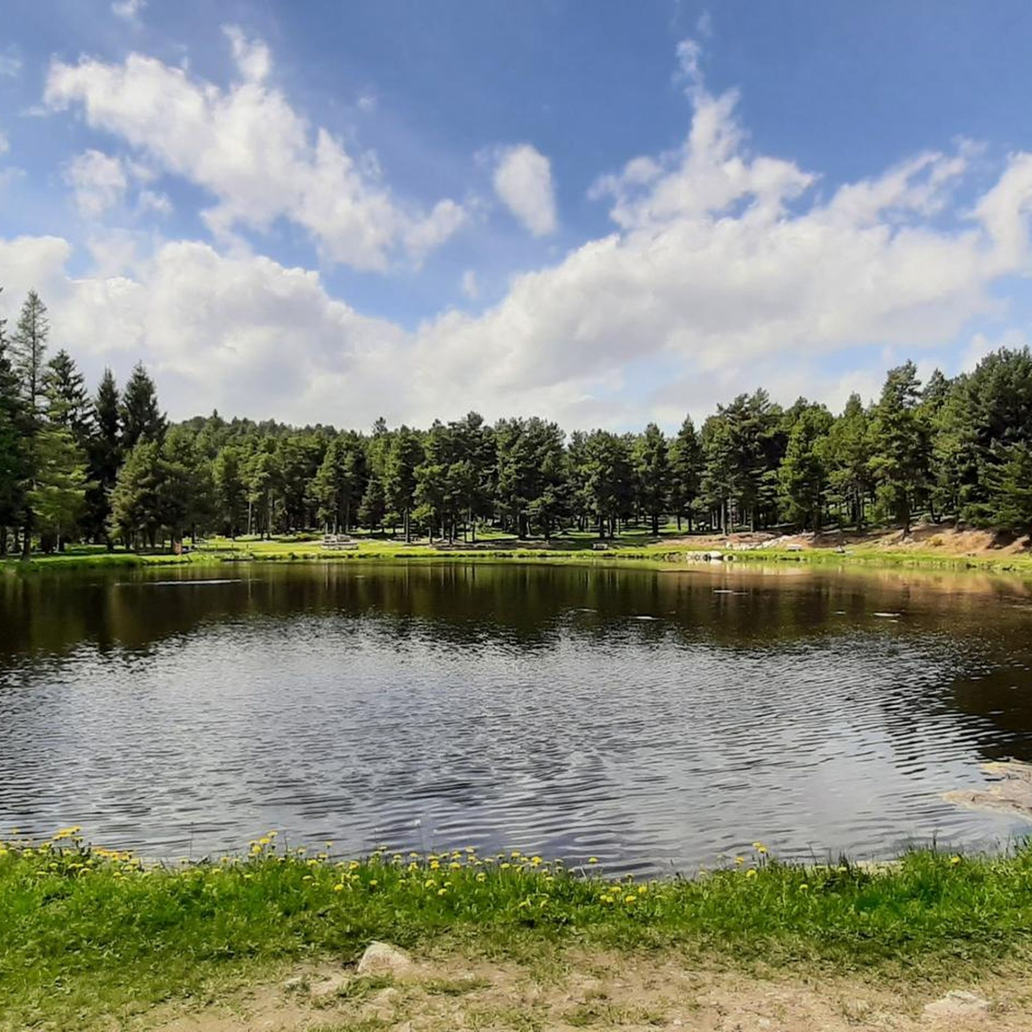
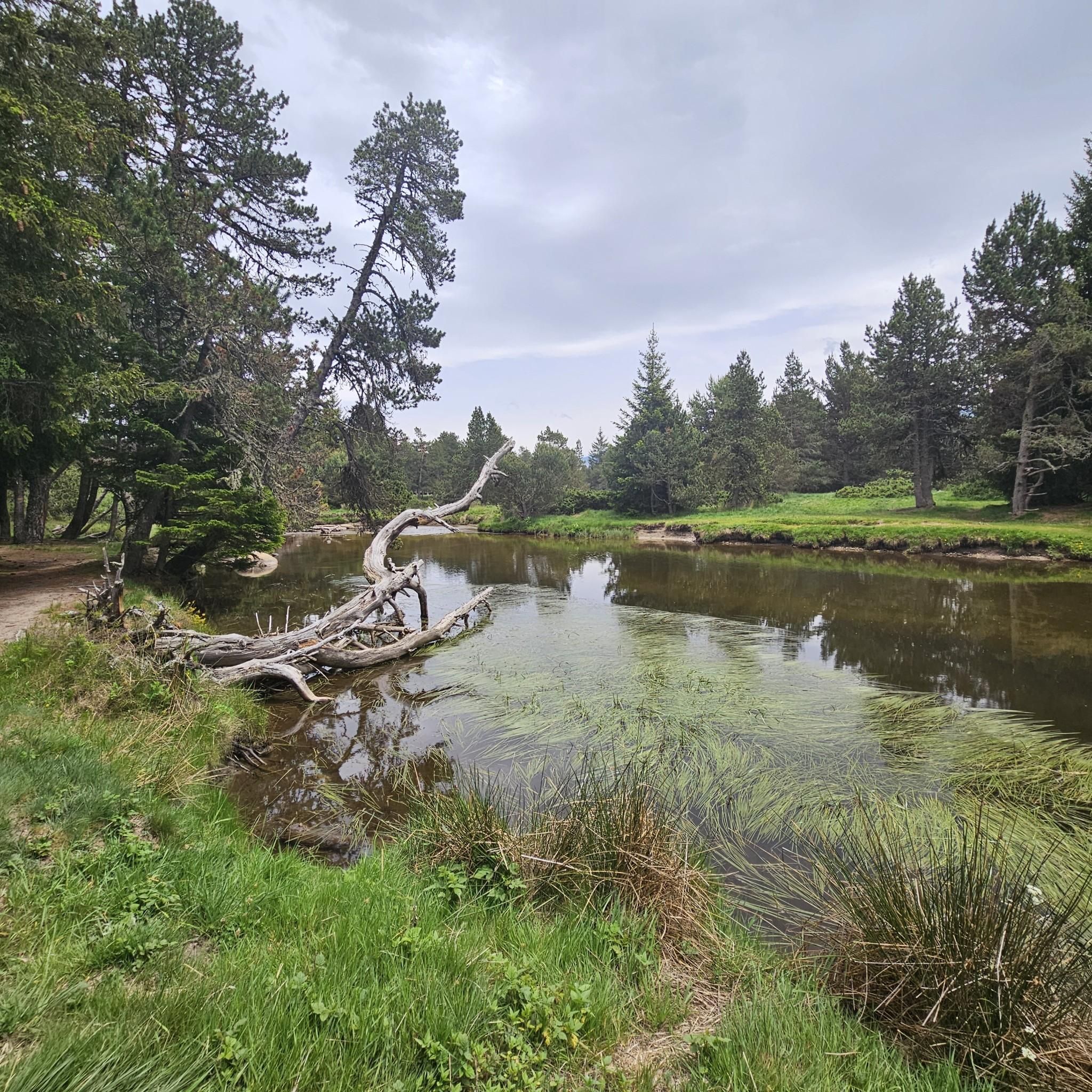
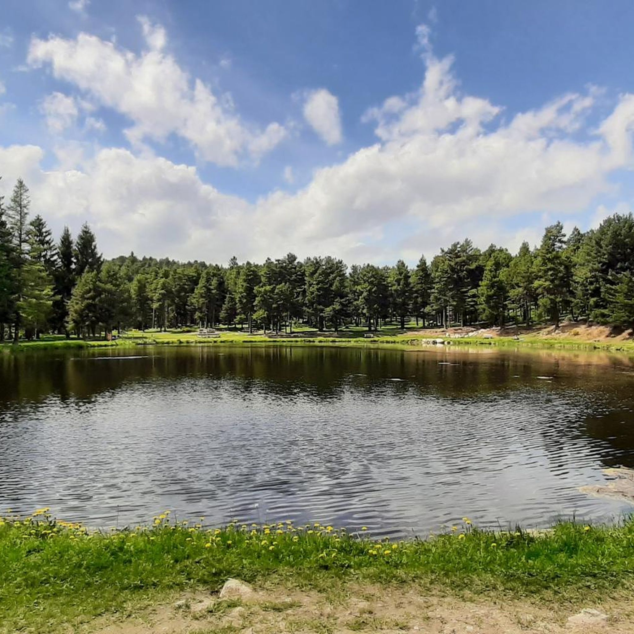
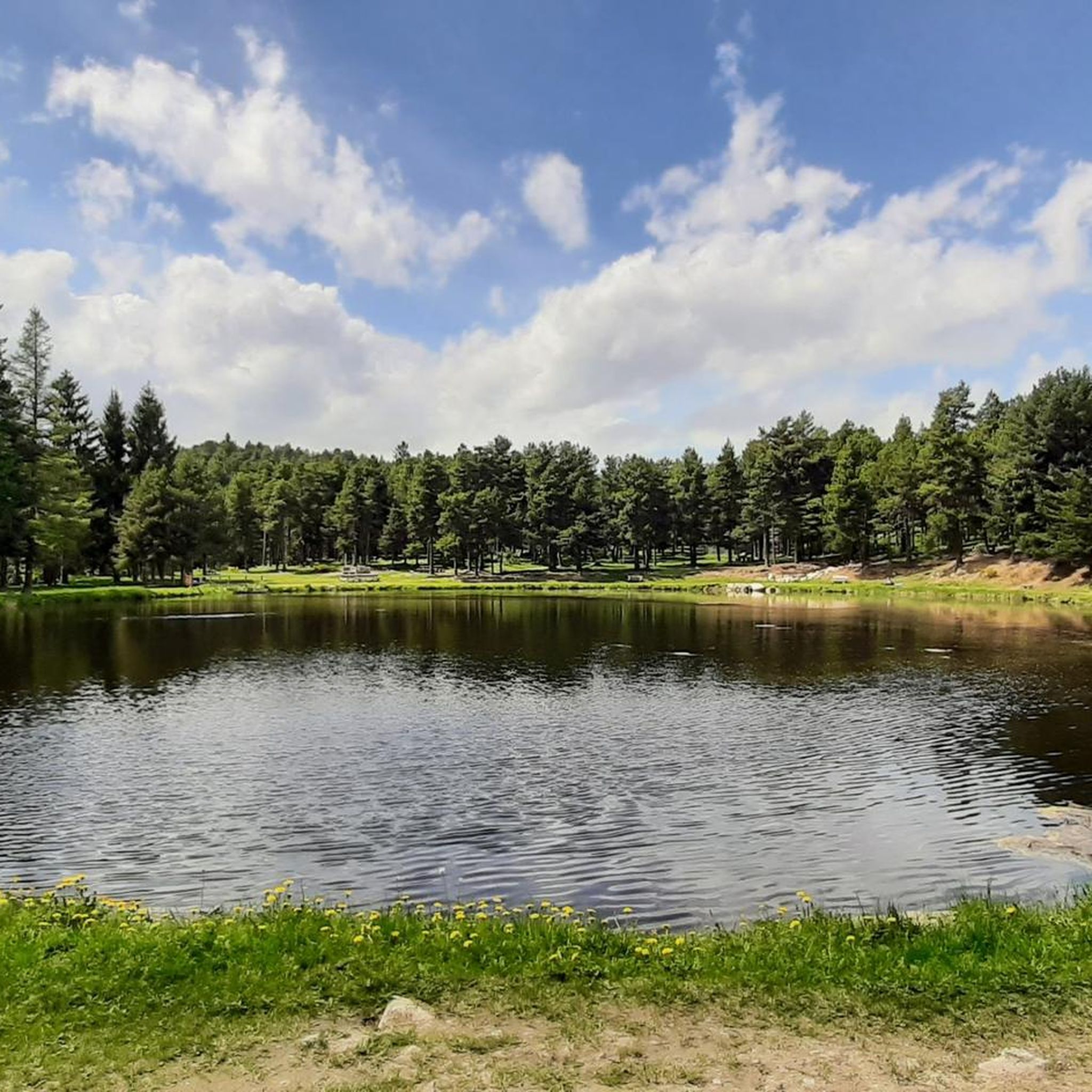
Other adventures around Bolquère

Tips from the Community

The L'abri de la Jasse is an open hut that allows you to stop for the night, but also to take a break sheltered from the sun or rain. It is set in a magnificent, peaceful natural setting, in the middle of a clearing dotted with pine trees.
0
0

At the top but at the end the loop back on the left side at the level of the waterfall is not accessible in late spring because there is still too much snow, you will have to go through the other side.
0
0

A superb lake reflecting the neighboring peaks. The morning light amplifies this mirror effect.
0
0

Nestled in a glacial basin, this small lake often lies dry in summer, revealing an impressive mineral setting, surrounded by meadows and imposing peaks. The trails leading to the lake offer magnificent views of the surrounding mountains and allow you to enjoy the tranquility of this timeless place.
1
0
This small high-altitude lake, accessible by hiking trails, offers a preserved natural setting, ideal for a contemplative break. The calm, crystal-clear waters reflect the surrounding peaks.
1
0

Carlit Peak is part of the Capcir granite massif, which is dotted with 27 lakes and small lakes in the Occitania region, northwest of Font-Romeu. Its summit is located at 2921 meters, allowing you to observe an immense panorama (from Canigó to the Central Pyrenees).
1
0

Beautiful loop from the Eyne ski resort
0
0

just a magnificent hike to take in to take in the views 💕
0
0
Frequently Asked Questions
How many mountaineering routes are available around Bolquère?
There are 15 mountaineering routes around Bolquère listed in this guide, offering a range of difficulties from easy to difficult. The region is known for its high peaks and alpine lakes.
Are there any easy mountaineering routes suitable for beginners in Bolquère?
Yes, Bolquère offers 3 easy mountaineering routes. While specific easy routes are not detailed here, these trails are generally shorter and have less elevation gain, making them ideal for those new to mountaineering. You can find options that explore the lower mountain areas or scenic valleys.
What kind of challenging routes can I find for advanced mountaineers?
For experienced mountaineers, Bolquère features 7 difficult routes. These often involve significant elevation gain and longer distances. Notable challenging routes include the Cambre d'Aze Summit – Pic d'Eyne (2,789 m) loop from Eyne, which covers 19.2 km with over 1200 meters of ascent, and the Cambre d'Aze Summit loop from Eyne, offering high mountain passes and summit views.
Are there any family-friendly mountaineering options in Bolquère?
While many mountaineering routes in Bolquère are challenging, some of the easier or moderate trails can be suitable for families with older children or those accustomed to hiking. Look for routes with less steep ascents and shorter distances. The area around Lac des Bouillouses often provides more accessible options.
Can I find circular mountaineering routes in Bolquère?
Yes, many of the mountaineering routes in Bolquère are designed as loops, allowing you to start and finish at the same point. Examples include the demanding Les Bones Hores Bar & Restaurant – Peak Carlit loop from Lac des Bouillouses and the moderate Lac de la Coumasse – View of the lakes loop from Lac des Bouillouses.
What are some notable natural attractions or landmarks along the mountaineering routes?
The Bolquère region is rich in natural beauty. Along your mountaineering routes, you might encounter stunning features like Lake Bouillouses, a popular starting point for many trails. The nearby Carança Gorge area also offers impressive sights such as the Carança Corniche and the unique Footbridges of the Carançà Gorge.
Is public transport available to access mountaineering trailheads in Bolquère?
Access to some trailheads in Bolquère, especially those leading to popular areas like Lac des Bouillouses, can be reached by public transport during peak seasons. However, for many remote mountaineering starting points, a car is often recommended for convenience. It's advisable to check local bus schedules for specific routes and times.
Where can I find parking for mountaineering routes in Bolquère?
Parking is generally available at popular trailheads, such as those near Lac des Bouillouses or Eyne. However, during peak season, these spots can fill up quickly. It's always a good idea to arrive early, especially for longer routes, or research specific parking areas for your chosen trail in advance.
What is the best time of year for mountaineering in Bolquère?
The best time for mountaineering in Bolquère is typically from late spring to early autumn (June to September) when the weather is more stable, and trails are generally free of snow. Outside of these months, conditions can be challenging due to snow, ice, and colder temperatures, requiring specialized equipment and experience.
Are there any specific routes that offer exceptional views or opportunities for wildlife spotting?
Many routes in Bolquère offer expansive views of the Pyrenees. Trails leading to Peak Carlit, such as the Les Bones Hores Bar & Restaurant – Peak Carlit loop from Pla des Avellans, provide extensive mountain scenery. The high-altitude environments are also home to diverse wildlife, including chamois and marmots, particularly in quieter areas away from the main paths.
What do other mountaineers enjoy most about the routes in Bolquère?
The mountaineering routes in Bolquère are highly rated by the komoot community, with an average score of 4.7 stars. Reviewers often praise the challenging ascents, the stunning alpine lakes, and the panoramic views from prominent peaks like Carlit and Cambre d'Aze.
Are there any moderate mountaineering routes in the Bolquère area?
Yes, Bolquère offers 5 moderate mountaineering routes. These trails provide a good balance of challenge and accessibility, often featuring varied terrain and rewarding views without the extreme demands of the most difficult ascents. An example is the Lac de la Coumasse – View of the lakes loop from Lac des Bouillouses, which is a 8 km loop.
Most popular routes around Bolquère
Most popular attractions around Bolquère

Get inspired with the komoot mobile app


Explore more
Browse the best Mountain Hikes & Routes in other regions.
