The best walks and hikes around Cérizols
4.0
(22)
193
hikers
41
hikes
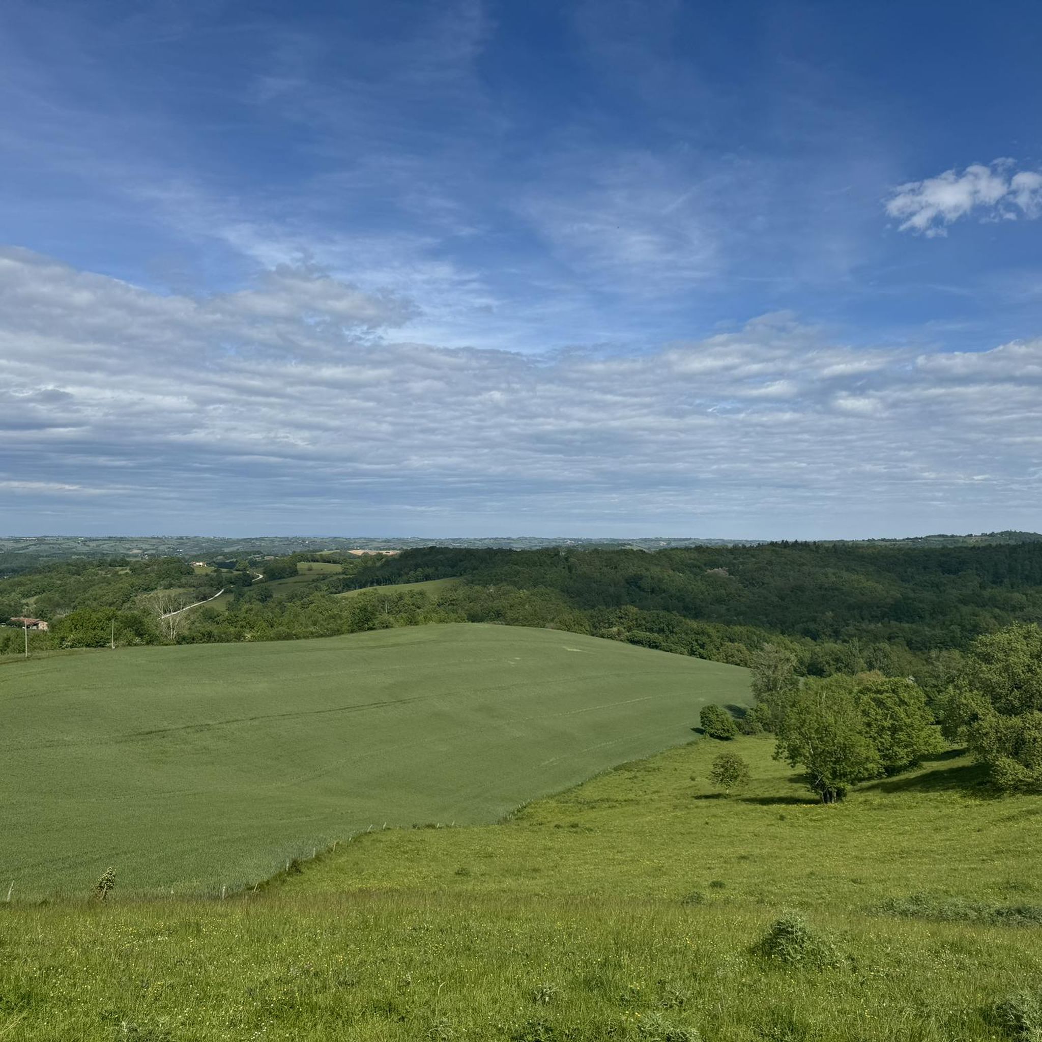
Hiking around Cérizols offers access to a landscape characterized by rolling hills, agricultural land, and scattered woodlands. The region features varied terrain suitable for accessible walks, with elevation gains typically under 300 meters. Trails often traverse open countryside and provide views of the surrounding rural environment. The area's topography supports a network of paths ranging from short, easy loops to longer, moderate excursions.
Best hiking trails around Cérizols
- The most popular hiking route is Salies-du-Salat - Montsaunès Loop, a…
Last updated: July 4, 2026
4.0
(3)
43
hikers
6.71km
01:50
110m
110m
Easy hike. Great for any fitness level. Easily-accessible paths. Suitable for all skill levels.
4.5
(2)
18
hikers
3.18km
00:48
10m
10m
Easy hike. Great for any fitness level. Easily-accessible paths. Suitable for all skill levels.

Sign up for free
9
hikers
6.55km
01:53
170m
160m
Easy hike. Great for any fitness level. Easily-accessible paths. Suitable for all skill levels.
4.0
(2)
18
hikers
4.27km
01:11
80m
80m
Easy hike. Great for any fitness level. Easily-accessible paths. Suitable for all skill levels.
7
hikers
9.47km
02:25
30m
30m
Moderate hike. Good fitness required. Easily-accessible paths. Suitable for all skill levels.
Get access to more routes and recommendations from other explorers.
Sign up for free
Already have an account?
Our route recommendations are based on thousands of hikes, rides, and runs completed by other people on komoot.
Start today with a free account
Your next adventure awaits.
Login or Signup



Tips from the Community

Pleasant lake to walk around or sit down for a barbecue
0
0

Sainte-Croix-Volvestre, set in the hilly landscape of Ariège, seduces with its medieval character and its tranquility. The 16th century church dominates the village. Local market, winding streets and surrounding nature make it a place of relaxation. Stroll along the Volp or near the lake!
0
0

The plateau on which the ruins of the old Notre-Dame-de-la-Pitié church and its castle are located offers lovely views.
0
0

There is not much left of the chapel, but the bells of the chapel ring every hour on the hour. I was very surprised by that.
0
0
beautiful lake next to the village Touille, you can also swim in it.
0
0
Frequently Asked Questions
How many hiking trails are available around Cérizols?
There are over 40 hiking trails in the Cérizols area, offering a variety of options for different preferences and skill levels. These include 20 easy routes and 21 moderate routes.
Are there easy hiking trails suitable for beginners or families in Cérizols?
Yes, Cérizols offers a good selection of easy hikes. For example, the Salies-du-Salat - Montsaunès Loop is an easy 4.2-mile (6.7 km) trail that takes about 1 hour 50 minutes to complete, perfect for a relaxed outing. Another accessible option is the Hiking loop from Sainte-Croix-Volvestre, which is just over 4 km long.
What is the typical length and duration of hikes in Cérizols?
Hikes in Cérizols vary, but many fall into the short to moderate range. You'll find trails like the Salies-du-Salat - Montsaunès Loop at 4.2 miles (6.7 km) taking under 2 hours, up to longer routes such as the Table d'orientation – Château de Beauvoir loop from Cérizols, which is 7.6 miles (12.2 km) and can take over 3 hours.
Are there any circular walks in the Cérizols area?
Yes, many of the trails around Cérizols are circular, allowing you to start and end at the same point. Popular circular routes include the Table d'orientation – Château de Beauvoir loop from Cérizols and the Table d'orientation loop from Belbèze-en-Comminges, both offering varied terrain and viewpoints.
What kind of terrain can I expect on hiking trails around Cérizols?
The terrain around Cérizols is characterized by rolling hills, open agricultural fields, and scattered woodlands. Trails often traverse a mix of these landscapes, providing varied scenery without extreme elevation changes. The region's topography supports paths ranging from gentle slopes to more undulating sections.
What do other hikers enjoy most about hiking in Cérizols?
The komoot community rates hikes in Cérizols highly, with an average score of 3.7 stars from over 17 reviews. Hikers often praise the peaceful rural environment, the varied scenery of fields and woodlands, and the accessibility of the trails for different ability levels.
Are there any specific points of interest or landmarks to look out for on the trails?
While specific highlights are not detailed, some routes, like the Table d'orientation – Château de Beauvoir loop from Cérizols, are noted for passing by historical points of interest and offering panoramic views, suggesting opportunities to explore local heritage and scenic vistas.
Is Cérizols suitable for advanced hikers looking for a challenge?
While Cérizols primarily offers easy to moderate trails, with no routes classified as difficult, the moderate options provide longer distances and more significant elevation gains. For instance, the Table d'orientation – Château de Beauvoir loop from Cérizols features nearly 300 meters of ascent, offering a good workout for those seeking a longer, more strenuous walk within the region's characteristic rolling landscape.
What is the best time of year to go hiking in Cérizols?
The Cérizols region, with its rolling hills and open fields, is generally pleasant for hiking from spring through autumn. Spring brings blooming wildflowers, while autumn offers vibrant colors. Summer can be warm, so early morning or late afternoon hikes are often preferred. Winter hiking is possible, but conditions can be cooler and paths might be muddy.
Are dogs allowed on the hiking trails around Cérizols?
In general, dogs are welcome on most rural hiking trails in the Cérizols area. However, it's always recommended to keep them on a leash, especially when passing through agricultural land or near livestock, and to respect local regulations regarding nature reserves or private property.
Is public transport available to reach hiking trailheads in Cérizols?
Cérizols is a rural area, and public transport options directly to trailheads may be limited. It is generally advisable to plan for personal transportation, such as a car, to access the various starting points for hikes in the region. Some routes may start from villages that have limited bus services.
Where can I find parking for hiking trails in Cérizols?
Parking for hiking trails in Cérizols is typically available in or near the villages where routes begin. Look for designated parking areas in village centers or at specific trailheads. As it's a rural area, roadside parking might also be an option in some locations, provided it does not obstruct traffic or private access.
Most popular attractions around Cérizols

Get inspired with the komoot mobile app


Explore more
Browse the best Hikes in other regions.
