The best running trails around Sainte-Léocadie
4.6
(44)
4,246
runners
13
runs
Jogging around Sainte-Léocadie offers a variety of routes through the region's diverse landscape. The area features a mix of rolling hills, open valleys, and paths that connect to nearby historical sites. Runners can explore trails with moderate elevation changes, providing both challenge and scenic views. The terrain is generally accessible, with options ranging from easy loops to more demanding paths.
Best jogging routes around Sainte-Léocadie
- The most popular jogging route is Coll de Lluç loop from Sainte-Léocadie, a 2.9…
Last updated: July 6, 2026
39
runners
4.67km
00:31
80m
80m
Easy run. Great for any fitness level. Mostly paved surfaces. Suitable for all skill levels.
21
runners
10.4km
01:24
390m
390m
Hard run. Very good fitness required. Mostly paved surfaces. Suitable for all skill levels.

Sign up for free
10
runners
6.05km
00:42
110m
110m
Moderate run. Good fitness required. Mostly paved surfaces. Suitable for all skill levels.
9
runners
10.3km
01:10
150m
150m
Moderate run. Good fitness required. Mostly paved surfaces. Suitable for all skill levels.
5
runners
10.7km
01:13
210m
210m
Moderate run. Good fitness required. Mostly paved surfaces. Suitable for all skill levels.
Get access to more routes and recommendations from other explorers.
Sign up for free
Already have an account?
Our route recommendations are based on thousands of hikes, rides, and runs completed by other people on komoot.
Start today with a free account
Your next adventure awaits.
Login or Signup


Frequently Asked Questions
How many running routes are available around Sainte-Léocadie?
There are 14 dedicated running routes around Sainte-Léocadie, catering to various fitness levels. These include 1 easy route, 11 moderate routes, and 2 more challenging options.
Are there any easy jogging routes suitable for beginners in Sainte-Léocadie?
Yes, for beginners or those looking for a relaxed run, the Coll de Lluç loop from Sainte-Léocadie is an excellent choice. This easy 4.7 km route features gentle gradients and offers scenic views, typically taking about 30 minutes to complete.
What kind of terrain can I expect on the running trails in Sainte-Léocadie?
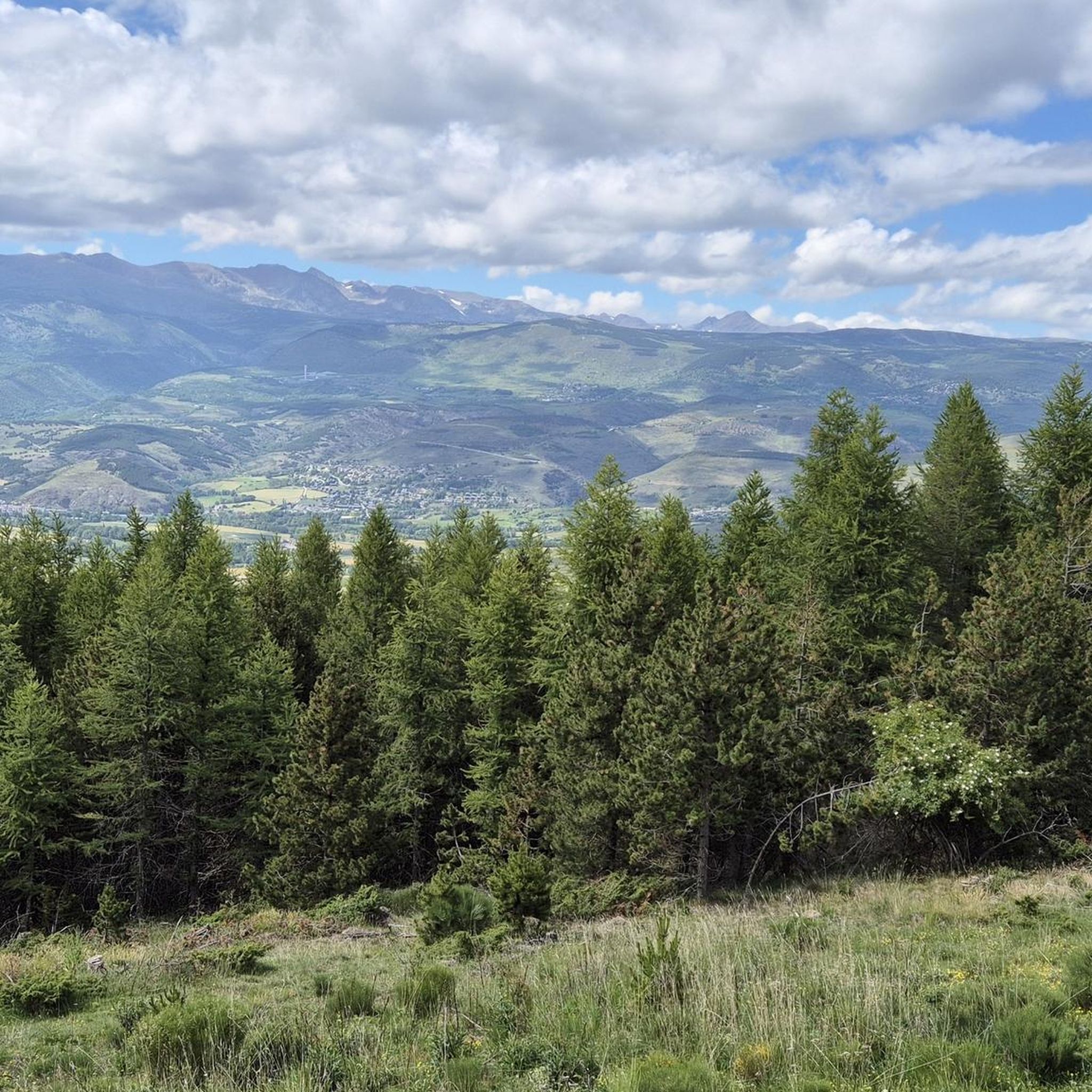
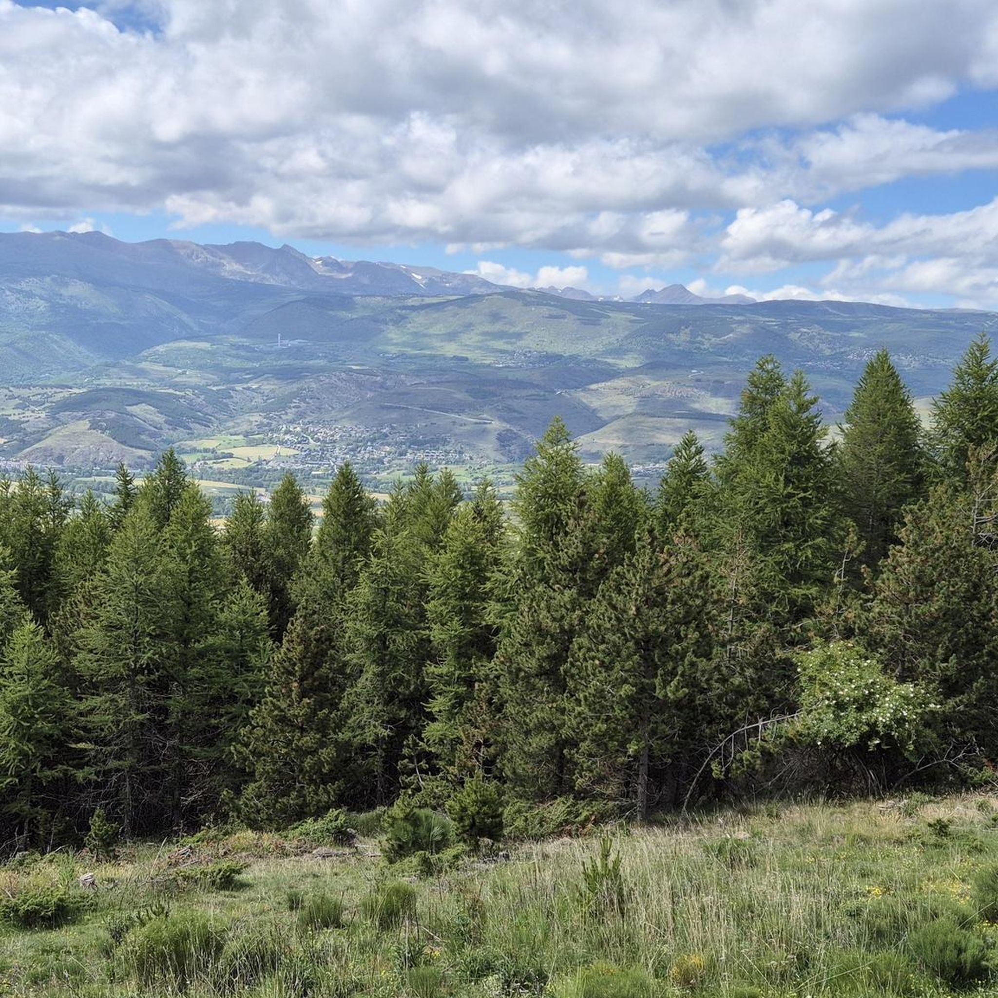
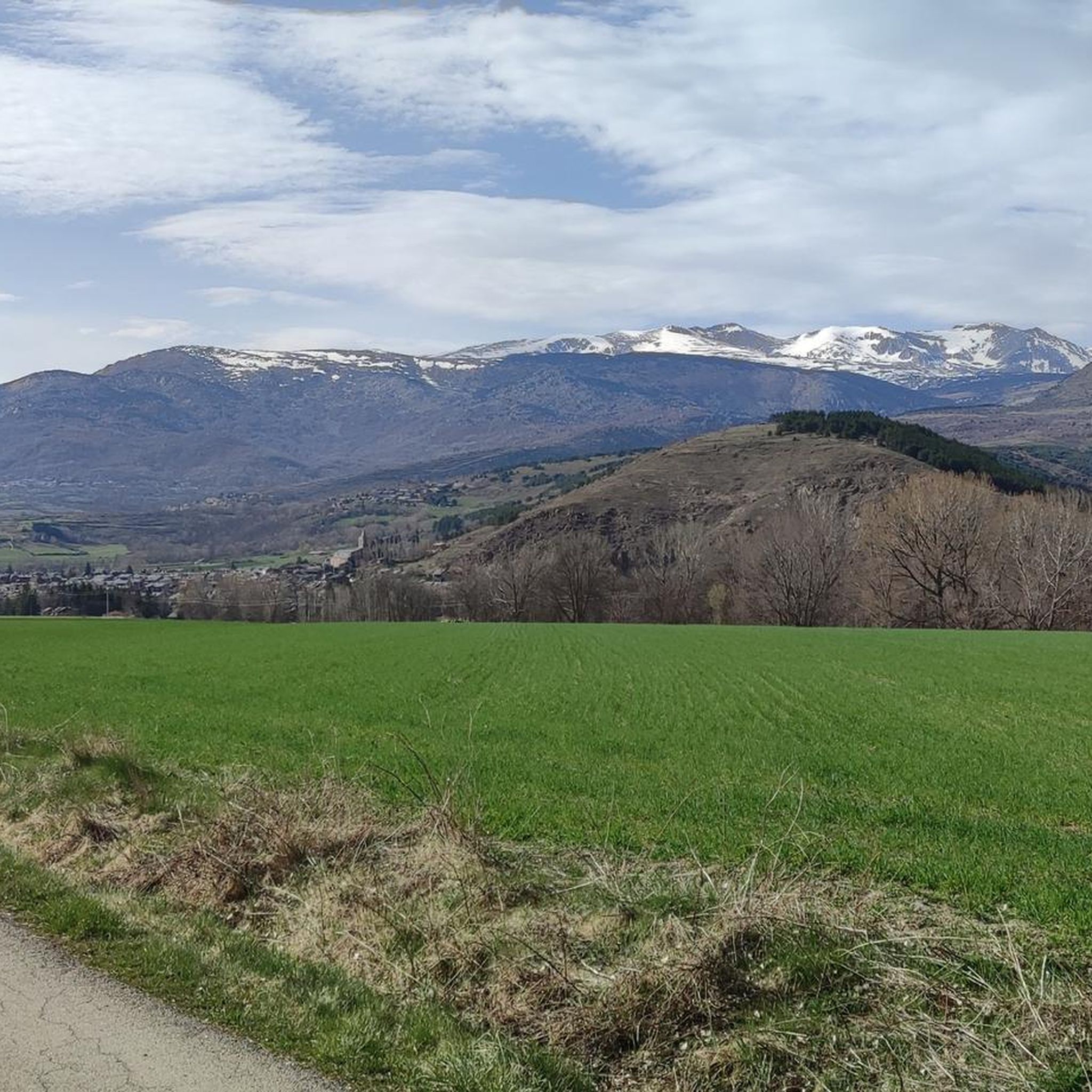
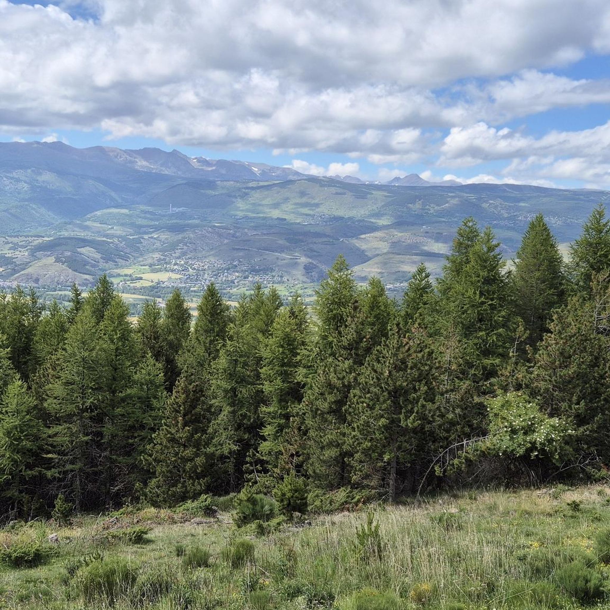
The running trails in Sainte-Léocadie offer a diverse landscape, characterized by rolling hills, open valleys, and paths that often connect to historical sites. You'll find a mix of accessible terrain with moderate elevation changes, providing both a good workout and picturesque scenery.
Are there any circular running routes in the area?
Many of the running routes in Sainte-Léocadie are circular, allowing you to start and finish at the same point. For example, the Running loop from Sainte-Léocadie is a popular moderate 6.0 km circular path, offering a balanced mix of ascents and descents.
What do other runners say about the trails in Sainte-Léocadie?
The running routes in Sainte-Léocadie are highly regarded by the komoot community, holding an average rating of 4.5 stars from over 40 reviews. Many runners praise the varied terrain and the beautiful views of the surrounding landscape.
Are there any longer, more challenging running routes for experienced runners?
For those seeking a longer challenge, the Llívia – Ruins of Llívia Castle loop from Sainte-Léocadie is a moderate 11.5 km route with significant elevation gain, offering a rewarding experience. Another option is the View of the Colomina Valley loop from Sainte-Léocadie, which is 10.7 km long.
What interesting landmarks or natural sights can I see along the running routes?
While running around Sainte-Léocadie, you can encounter various natural and historical points of interest. Some routes offer views towards significant peaks like Puigmal d'Er Summit or Pic de Finestrelles. The Llívia – Ruins of Llívia Castle loop from Sainte-Léocadie specifically takes you past historical ruins.
Are there running routes that offer views of the Colomina Valley?
Yes, you can enjoy stunning views of the Colomina Valley on several routes. The View of the Colomina Valley loop from Sainte-Léocadie is a dedicated 10.7 km trail that leads directly through this scenic area. Another option is the View of the Colomina Valley loop from Nahuja.
What is the average duration for a running route in Sainte-Léocadie?
The duration of running routes in Sainte-Léocadie varies depending on the length and difficulty. An easy route like the Coll de Lluç loop takes about 30 minutes, while longer moderate routes can take over an hour, such as the View of the Colomina Valley loop from Sainte-Léocadie which is typically completed in about 1 hour 13 minutes.
Can I find running routes that start directly from Sainte-Léocadie?
Absolutely. Many of the listed routes, such as the popular Coll de Lluç loop from Sainte-Léocadie and the Running loop from Sainte-Léocadie, are designed to start and end conveniently within the village, making them easily accessible.
Most popular routes around Sainte-Léocadie
Most popular attractions around Sainte-Léocadie

Get inspired with the komoot mobile app


Explore more
Browse the best Running Trails & Routes in other regions.
