The best running trails around Ingenbohl
4.4
(16)
832
runners
36
runs
Jogging around Ingenbohl offers diverse terrain in the canton of Schwyz, situated on the eastern arm of Lake Lucerne. The region features serene lakeside paths along the Ingenbohl Promenade, providing flat routes with water views. Runners can also explore trails on the Rigi Massif and Urmiberg, which offer significant elevation gains and panoramic views of the surrounding lakes and Alps. Additionally, forested sections like Oberholz Wald provide shaded, natural environments for running.
Best jogging routes around Ingenbohl
- The most popular…
Last updated: August 17, 2026
3.5
(2)
217
runners
24.6km
04:19
1,670m
1,670m
Hard run. Very good fitness required. Sure-footedness, sturdy shoes and alpine experience required.
5.0
(4)
127
runners
10.4km
01:23
460m
460m
Hard run. Very good fitness required. Mostly paved surfaces. Suitable for all skill levels.

Sign up for free
25
runners
6.73km
00:44
70m
70m
Hard run. Good fitness required. Sure-footedness, sturdy shoes and alpine experience required.
5.0
(1)
65
runners
9.29km
01:10
340m
340m
Hard run. Very good fitness required. Sure-footedness, sturdy shoes and alpine experience required.
23
runners
11.5km
01:32
470m
470m
Hard run. Very good fitness required. Mostly paved surfaces. Suitable for all skill levels.
Get access to more routes and recommendations from other explorers.
Sign up for free
Already have an account?
Our route recommendations are based on thousands of hikes, rides, and runs completed by other people on komoot.
Start today with a free account
Your next adventure awaits.
Login or Signup
Popular around Ingenbohl

On the Tell Trail over the Big 6 of Central Switzerland
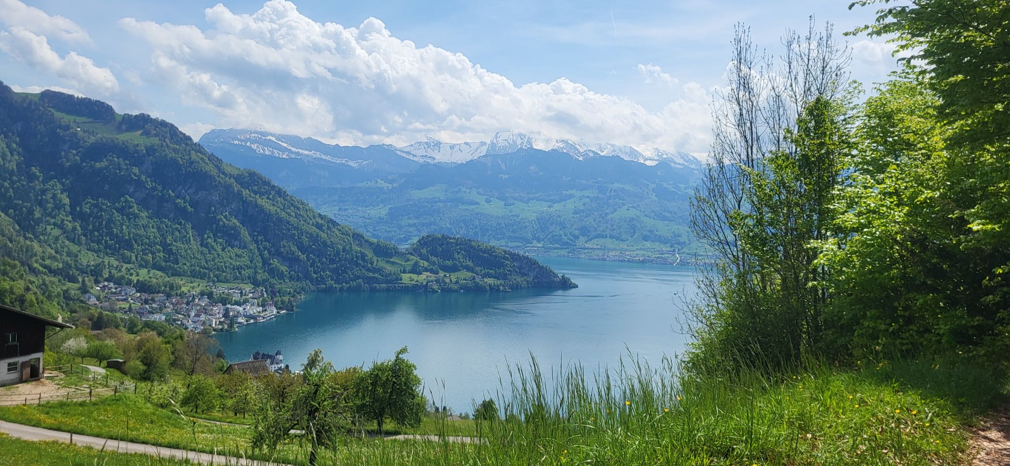
Waldstätterweg – On Route 98 around Lake Lucerne
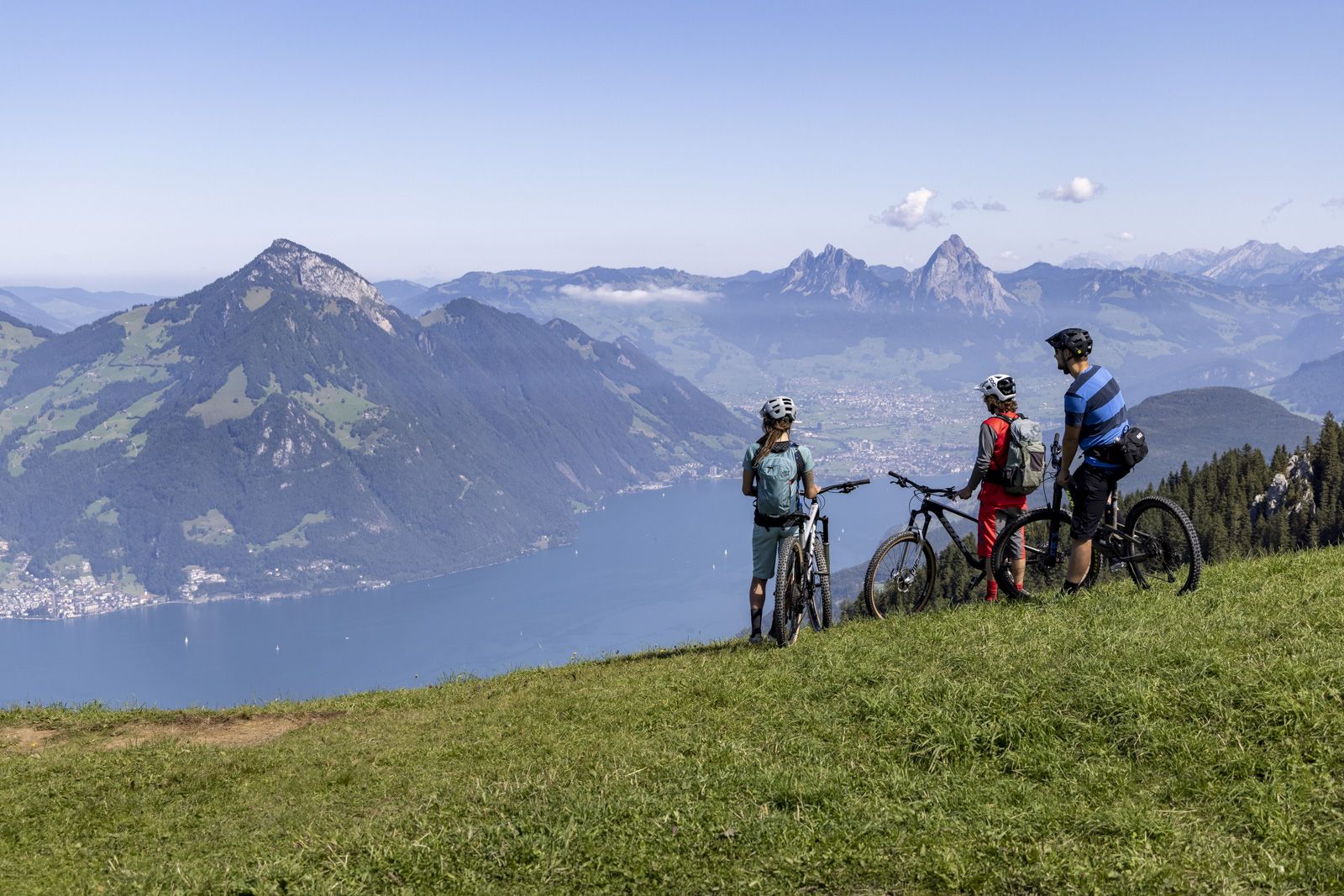
Fünf Bike Touren am Vierwaldstättersee
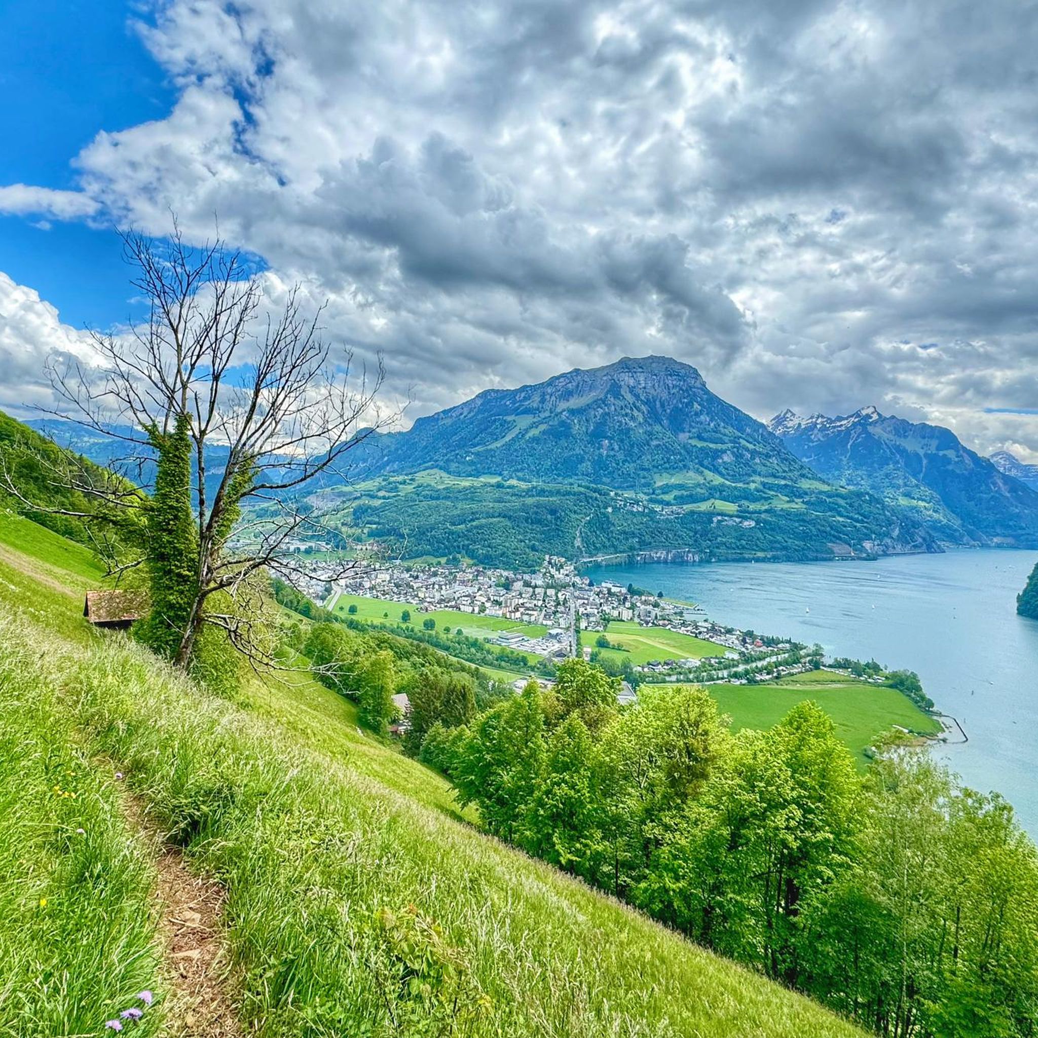
Cycling around Ingenbohl
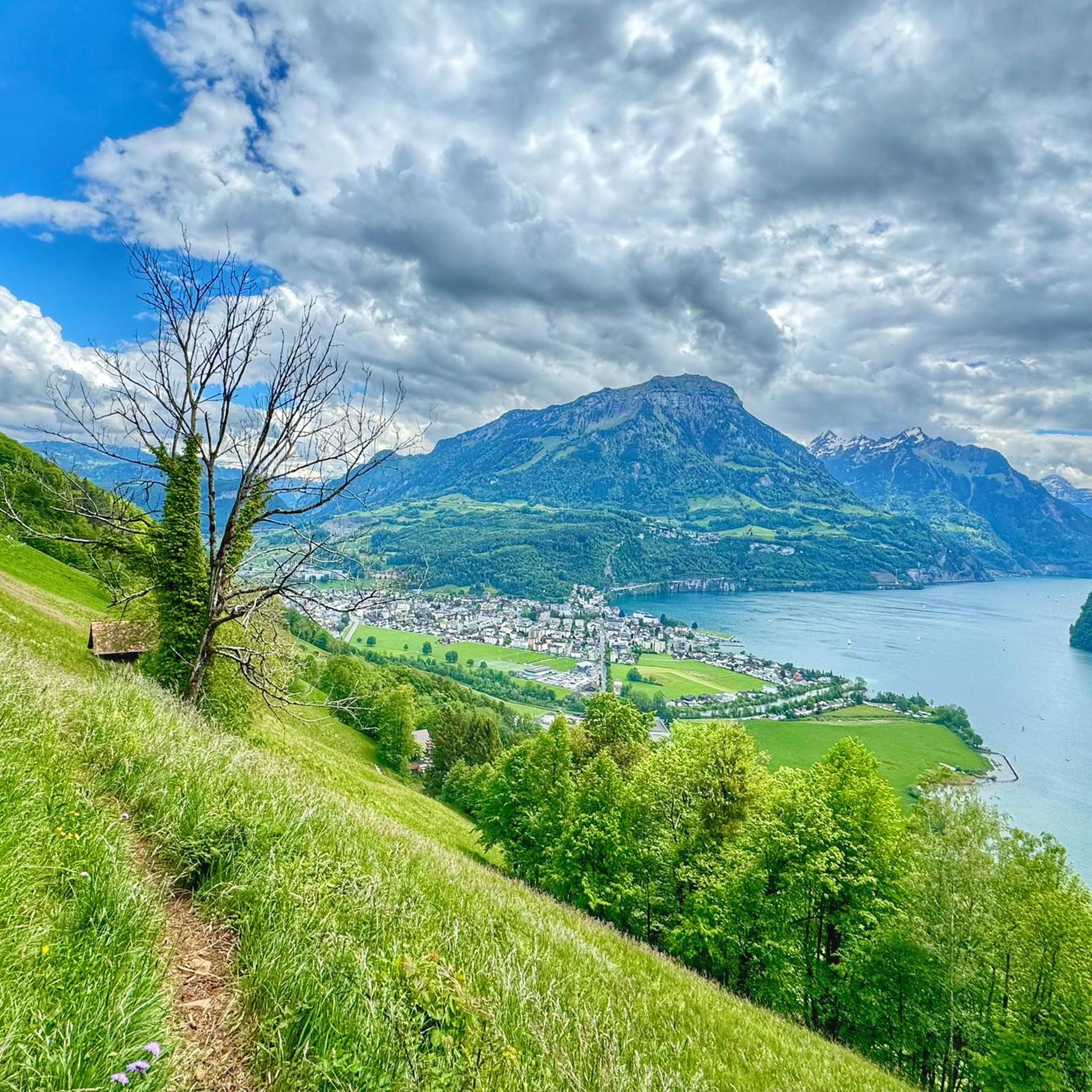
Hiking around Ingenbohl
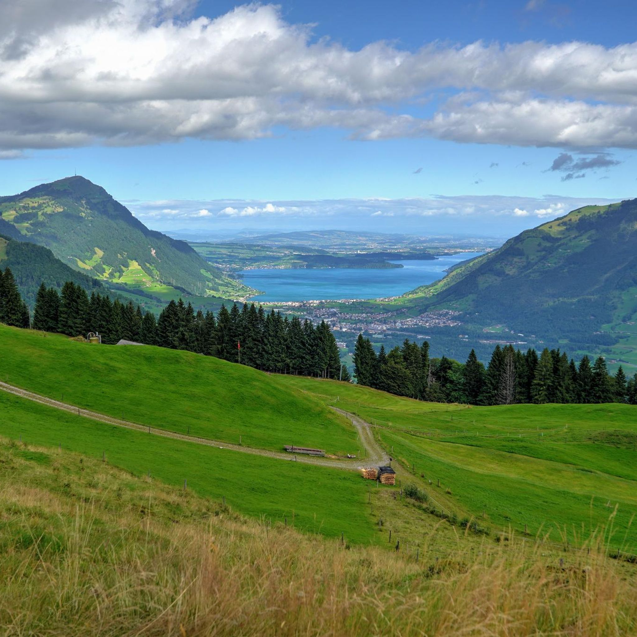
MTB Trails around Ingenbohl
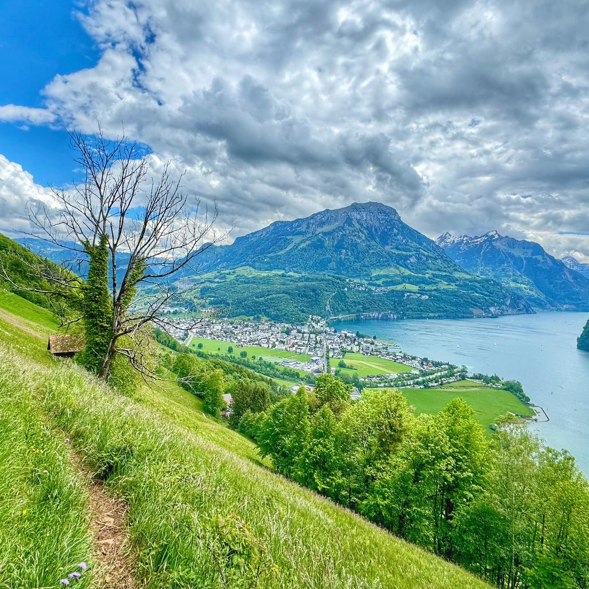
Road Cycling Routes around Ingenbohl
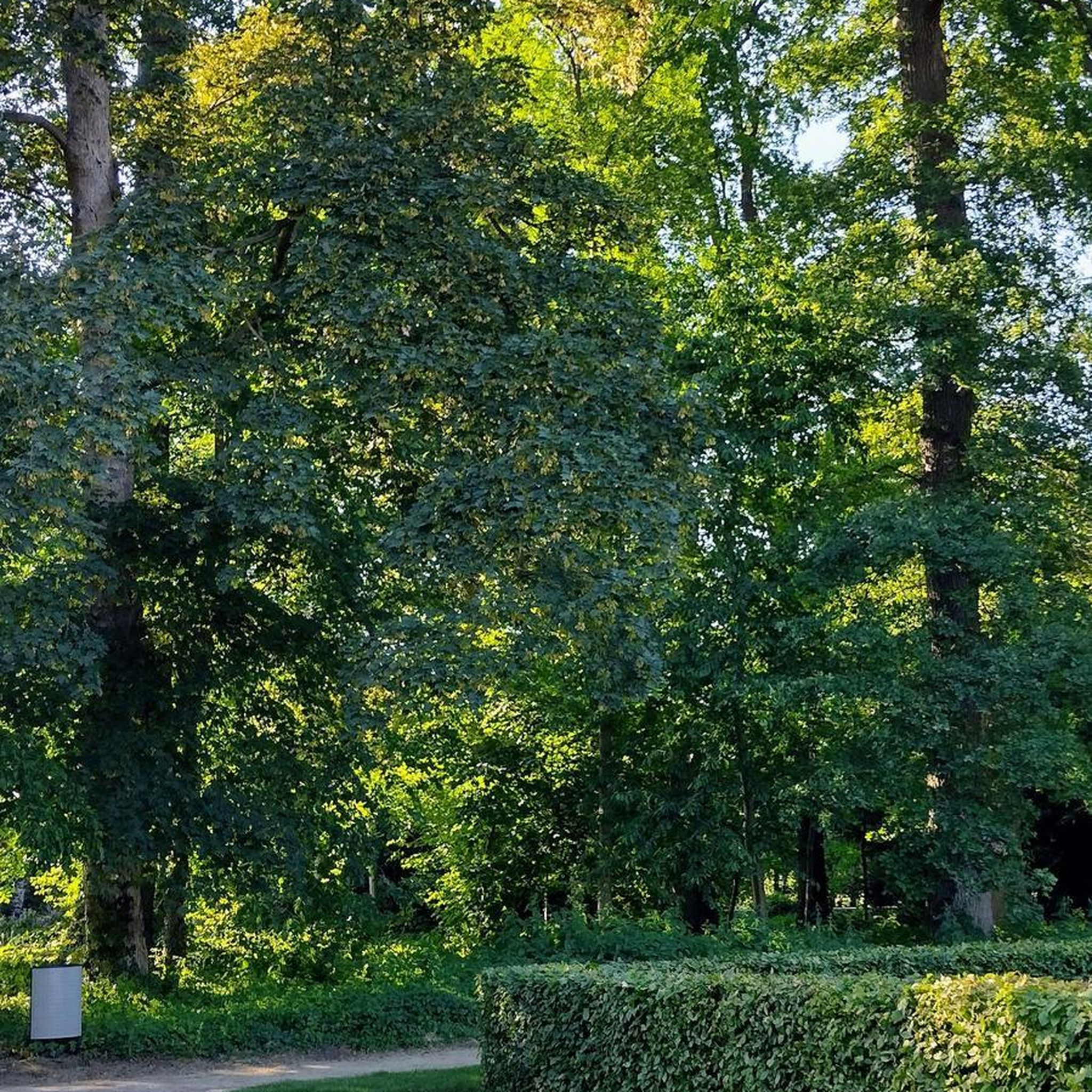
Mountain Hikes around Ingenbohl
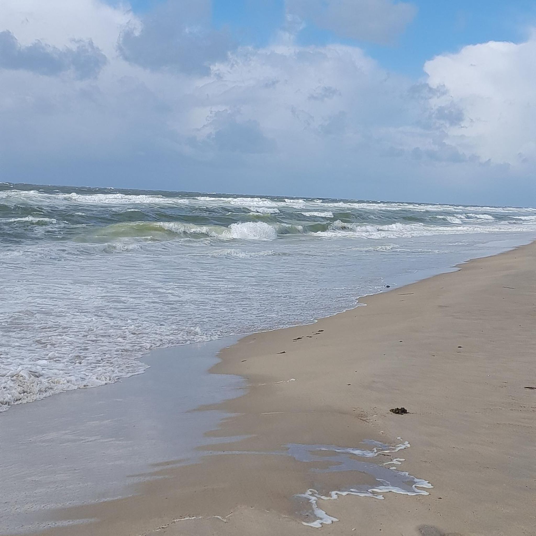
Gravel biking around Ingenbohl
Other adventures around Ingenbohl


Tips from the Community

The Morschach Panorama Trail runs here along the edge of the forest, with a wide panoramic view across the meadows, stretching from the peaks of the Mythen to Lake Lucerne.
0
0
The Sun Island is a round wooden platform with a fantastic view. One of the ball tracks of the Fronalpweg is embedded in it.
1
0
On the Fronalpstock, one of the most beautiful views of Lake Lucerne awaits you. But the panoramic view of the surrounding mountains is also fantastic. With the ridge trail to Klingenstock and the family-friendly Fronalpweg, two exciting hiking trails start from here.
0
0

Requires ebike to be ridden as it is predominantly very steep
0
0

At the foot of the Fronalpstock is the charming restaurant "zum Gadä". From the cozy terrace, you have a great view of the car-free mountain village. The Klingenstock summit is to your right, the over 300-year-old Stoos chapel Maria Hilf with the two Mythen in the background to your left. A great place to stop before or after a hike!
0
0

Magnificent viewpoint on the Swiss Path between Brunnen and Morschach
9
0

In the picture Seelisberg and Schillerstein
2
0
In the picture Seelisberg, Schillerstein and the steamer Gallia
2
0
Frequently Asked Questions
How many running routes can I find around Ingenbohl?
Ingenbohl offers a wide variety of running experiences with over 35 routes available. These range from easy lakeside jogs to challenging mountain ascents, catering to all fitness levels.
What makes Ingenbohl a great destination for runners?
Ingenbohl is situated on the eastern arm of Lake Lucerne, providing a picturesque setting with diverse terrain. Runners can enjoy serene lakeside paths along the Ingenbohl Promenade, explore trails on the Rigi Massif and Urmiberg with panoramic views, or find shaded routes in forested areas like Oberholz Wald. The region's natural beauty and varied landscapes make every run unique.
Are there any easy or beginner-friendly jogging routes in Ingenbohl?
Yes, Ingenbohl has several easy routes perfect for beginners or those looking for a relaxed run. The Lido Brunnen – Federal Chapel, Brunnen loop from Ingenbohl is a moderate 4.4-mile (7.1 km) trail that leads through lakeside areas with minimal elevation gain, often completed in about 45 minutes.
What are some challenging running routes for advanced runners in Ingenbohl?
For advanced runners seeking a challenge, Ingenbohl offers routes with significant elevation. The Fronalpstock Summit loop from Brunnen is a difficult 15.1-mile (24.2 km) trail featuring substantial elevation gain towards the summit. Another demanding option is the View of Schwyzerhöhe – View of Lake Lucerne loop from Brunnen, a difficult 6.5-mile (10.4 km) path with varied terrain and scenic outlooks.
Are there any circular running routes available in Ingenbohl?
Many of the running routes in Ingenbohl are designed as loops, offering convenient circular paths. Examples include the Running loop from Brunnen, which is a difficult 9.2 km route, and the View of Lake Lucerne – Marienkapelle Morschach loop from Brunnen, a difficult 11.4 km trail.
What kind of scenic views can I expect on Ingenbohl's running trails?
Ingenbohl's trails are renowned for their stunning scenery. You can expect breathtaking views of Lake Lucerne, the majestic Rigi Massif, and the surrounding Alps. Specific viewpoints like those from Axenstein or Rigi First offer panoramic vistas, making your run a truly rewarding experience.
Are there any natural attractions or landmarks to see along the running routes?
Yes, Ingenbohl's routes often pass by or offer views of notable natural attractions. You might encounter the impressive Risleten Waterfall, or enjoy the panoramic views from Rigi Kulm summit or Känzeli Viewpoint overlooking Lake Lucerne and the Alps.
Can I access Ingenbohl's running trails using public transport?
Yes, many areas around Ingenbohl are well-connected by public transport. For instance, the Urmiberg foothill of the Rigi is accessible by cable car from Brunnen. Additionally, sections of long-distance trails like the Waldstätterweg and Way of Switzerland, which pass through Ingenbohl, are designed with public transport access in mind.
What do other runners enjoy most about jogging in Ingenbohl?
The running routes in Ingenbohl are highly rated by the komoot community, with an average score of 4.5 stars. Runners frequently praise the diverse terrain, from serene lakeside paths to challenging mountain trails, and the stunning panoramic views of Lake Lucerne and the Alps.
Are there any family-friendly running options in Ingenbohl?
While specific 'family-friendly' routes aren't explicitly categorized, the easier, flatter sections along the Ingenbohl Promenade Walk or shorter loops with minimal elevation gain are generally suitable for families looking for a relaxed jog together.
Is Ingenbohl suitable for running year-round?
Ingenbohl's diverse landscape makes it suitable for running throughout the year. Lakeside paths offer pleasant conditions in warmer months, while forested areas provide shade. In winter, some lower elevation trails may still be accessible, though mountain routes might require specific gear or be closed due to snow.
Most popular routes around Ingenbohl
Most popular attractions around Ingenbohl

Get inspired with the komoot mobile app


Explore more
Browse the best Running Trails & Routes in other regions.
