The best running trails around Dulliken
4.5
(549)
13,479
runners
523
runs
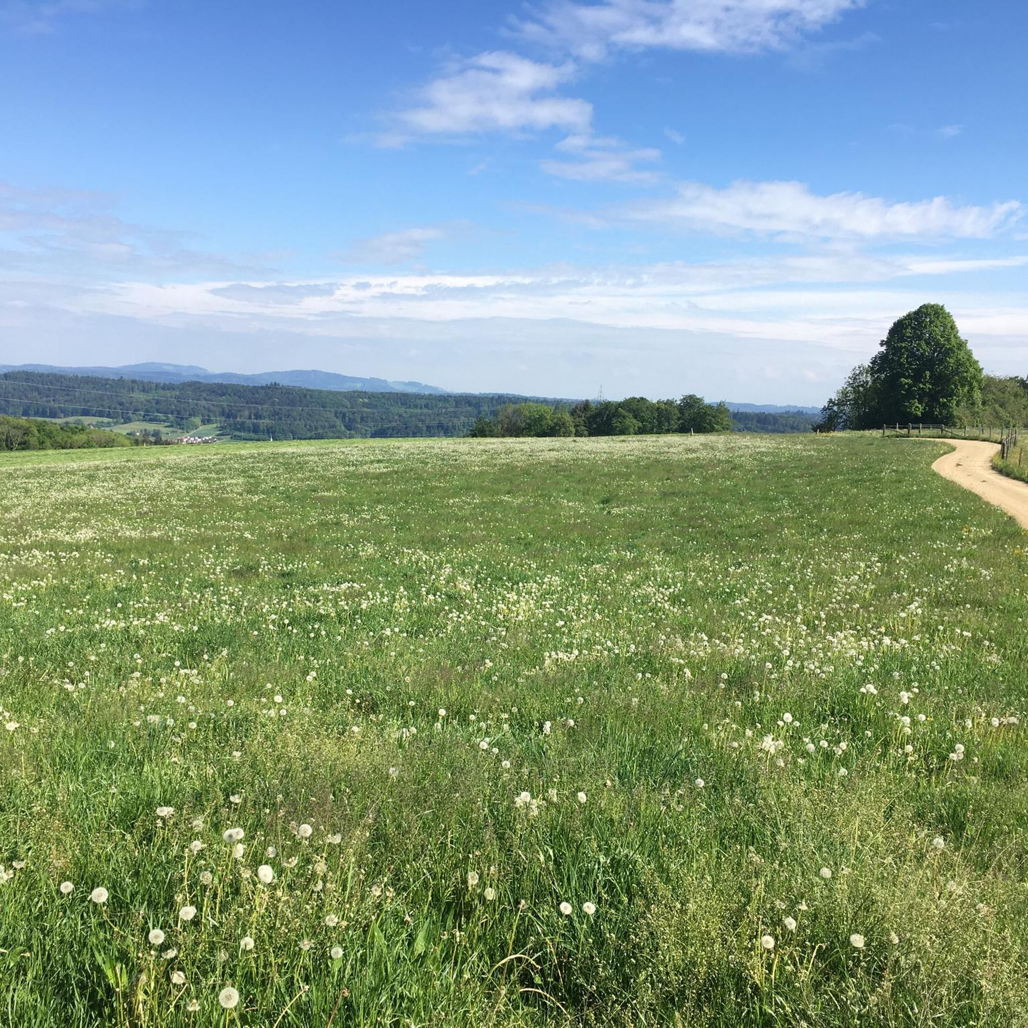
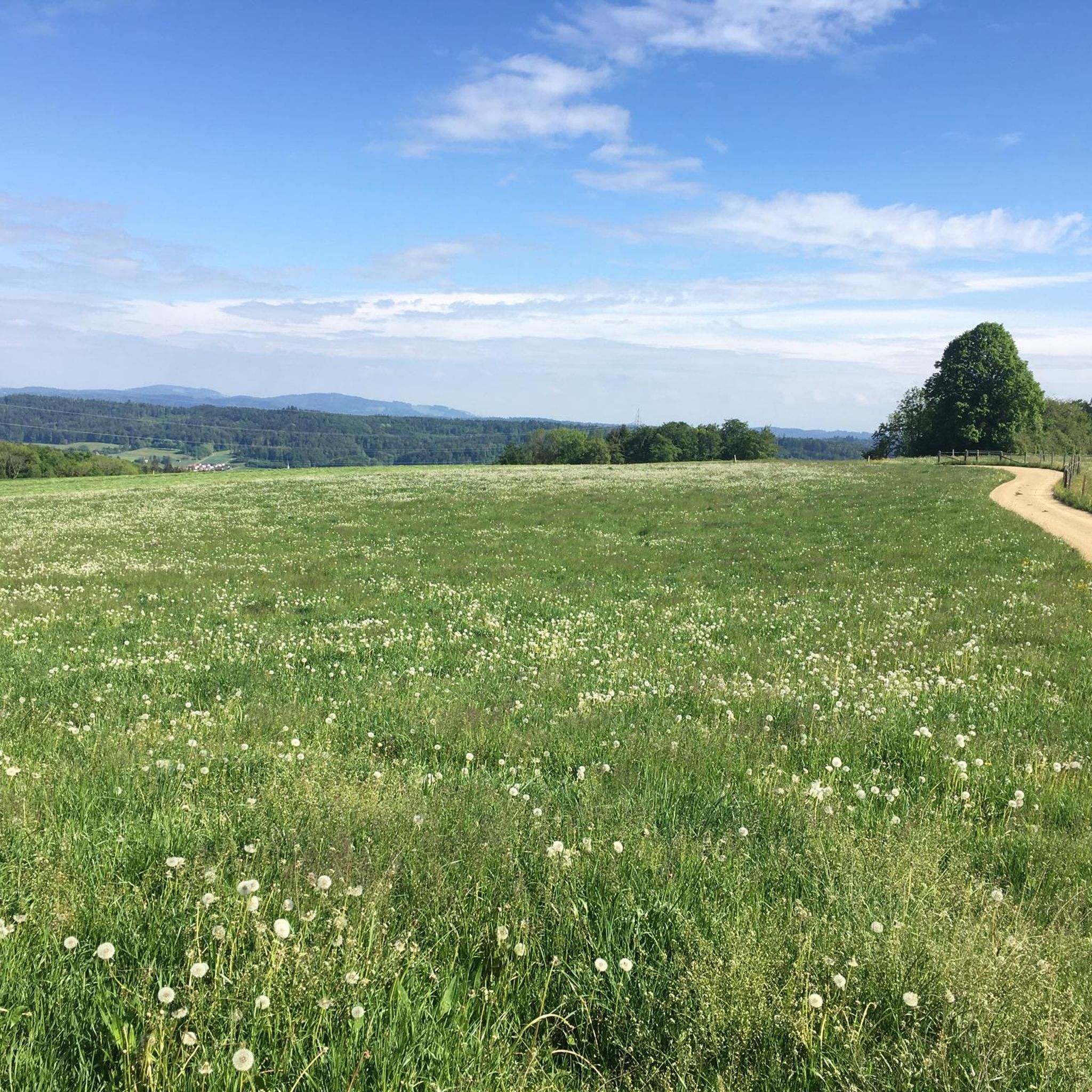
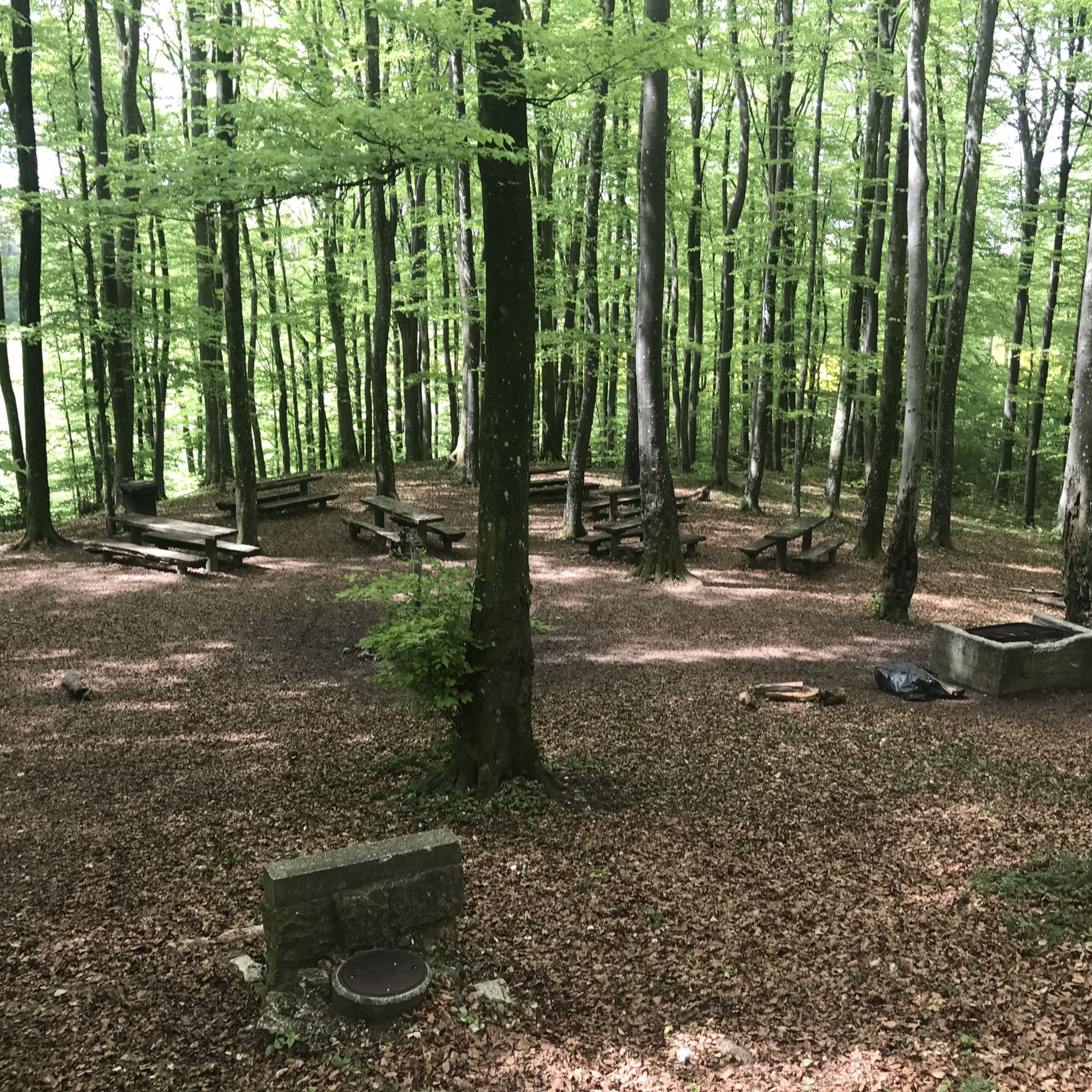
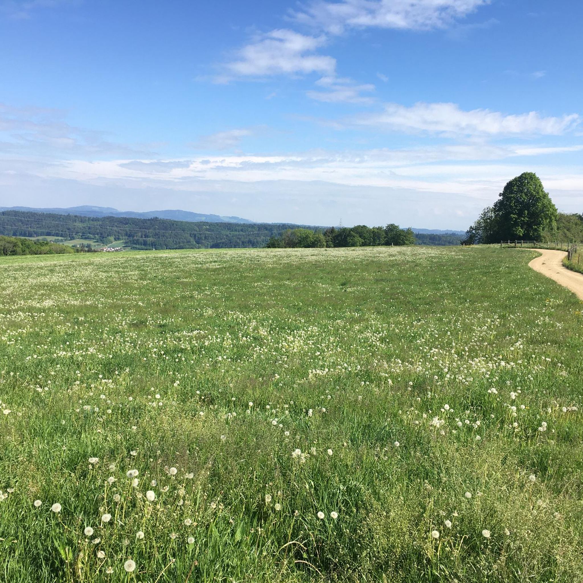
Jogging routes around Dulliken are set within a diverse landscape in the Canton of Solothurn, Switzerland. The region, situated at 393 meters above sea level, is characterized by extensive forests covering approximately one-third of its area, providing shaded trails. The prominent Engelberg mountain, rising to 700 meters, marks the southern reach of the Solothurn Jura and offers scenic backdrops for runs. A well-developed network of trails winds through this picturesque scenery, suitable for various levels of outdoor enthusiasts.
Best jogging…
Last updated: June 27, 2026
5.0
(2)
93
runners
9.55km
01:01
30m
30m
Moderate run. Good fitness required. Mostly paved surfaces. Suitable for all skill levels.
58
runners
7.73km
00:48
20m
20m
Moderate run. Good fitness required. Mostly paved surfaces. Suitable for all skill levels.

Sign up for free
21
runners
7.29km
00:47
30m
20m
Moderate run. Good fitness required. Mostly paved surfaces. Suitable for all skill levels.
23
runners
5.52km
00:36
10m
10m
Moderate run. Good fitness required. Mostly paved surfaces. Suitable for all skill levels.
10
runners
9.61km
01:00
30m
30m
Moderate run. Good fitness required. Mostly paved surfaces. Suitable for all skill levels.
Get access to more routes and recommendations from other explorers.
Sign up for free
Already have an account?
Our route recommendations are based on thousands of hikes, rides, and runs completed by other people on komoot.
Start today with a free account
Your next adventure awaits.
Login or Signup

Tips from the Community


Idyllic spot on the riverbank of the Aare on the outskirts of Gretzenback.
0
0

The Aare is canalized here, making its course even more peaceful. A bridge allows you to admire the river in its entire width.
0
0

It couldn't be more idyllic to cycle. The path along the Aare River is balm for the soul and an absolute pleasure.
0
0


Not the most beautiful hike, but the running power plant is a highlight
1
0

The ruin Göskon was a Erdburg (earthworks with ramparts and tower) in the territory of the municipality Obergösgen in the Swiss canton of Solothurn. It is located between the villages of Obergösgen and Niedergösgen next to a cantonal road and the Aare Canal. The complex is difficult to see because the area is overgrown with shrubbery. From the complex only the remains of earth walls and walls are preserved.
0
0
Frequently Asked Questions
How many running routes are available around Dulliken?
Dulliken offers a wide variety of running experiences, with over 500 routes available. These range from easy paths to more challenging ascents, catering to different fitness levels.
Are there easy jogging routes suitable for beginners in Dulliken?
Yes, Dulliken has options for beginners. There are 16 easy routes available, perfect for those starting out or looking for a relaxed run. Many of these paths wind through the extensive forests, offering a pleasant and gentle experience.
What kind of terrain can I expect on the jogging trails in Dulliken?
The terrain around Dulliken is quite varied. You'll find extensive forest paths, especially on the northern slope of the Engelberg mountain, and scenic routes along the Aare Canal. Some trails, particularly those leading towards the Engelberg, will involve moderate ascents, while others offer flatter riverside running.
Are there any circular running routes in the Dulliken area?
Yes, many of the running routes around Dulliken are circular, allowing you to start and finish at the same point. For example, the View of the Aare Canal – Olten Weir loop from Winznau is a popular moderate circular route offering scenic views.
What are some scenic viewpoints or natural attractions I can see while running in Dulliken?
The region boasts several scenic spots. The Engelberg mountain offers magnificent views of the distant Alps on clear days. You can also explore the fascinating Wisenberg Observation Tower for panoramic views above the treetops. Additionally, the nearby Tüfelschlucht (Devil's Gorge) features rushing waterfalls and lush greenery, providing a unique backdrop for a run.
Are there any routes that pass by historical landmarks or points of interest?
Yes, some routes incorporate historical elements. For instance, the Göskon Ruins loop from Obergösgen takes you through the area around the Göskon Ruins. You might also find routes that offer glimpses of nearby castles like the Aarburg Fortress.
What do other runners enjoy most about jogging in Dulliken?
The running routes in Dulliken are highly rated by the komoot community, with an average score of 4.5 stars from over 500 reviews. Runners often praise the diverse scenery, from tranquil forests to riverside paths, and the well-maintained trail network that caters to various abilities.
Can I find routes that are suitable for running with dogs?
Many of the natural trails and forest paths around Dulliken are suitable for running with dogs, provided they are kept on a leash where required and you follow local regulations. The extensive forest areas offer plenty of shaded paths for you and your canine companion.
Are there options for public transport access to the running trails?
Dulliken is well-connected within the Canton of Solothurn. Many trailheads are accessible via public transport, particularly around the main villages and towns. It's advisable to check local bus or train schedules to plan your access to specific starting points.
Are there routes with minimal elevation gain for a flatter running experience?
Yes, if you prefer flatter runs, consider routes along the Aare Canal. For example, the View of the Aare Canal loop from Obergösgen offers relatively minimal elevation changes, providing a smooth running experience with scenic water views.
What is the best season for jogging in Dulliken?
Dulliken offers great running opportunities throughout the year. Spring and autumn provide pleasant temperatures and beautiful foliage. In summer, the extensive forests offer welcome shade. Even in winter, many trails are accessible, though conditions may vary, and some paths might be slippery or covered in snow.
Are there any longer running routes for endurance training?
For longer runs, you can combine several sections of the extensive trail network. Routes like the Göskon Ruins – Aare Riverbank at Gretzenbach loop from Obergösgen, at over 9.6 km, provide a good distance for endurance training, often with options to extend further.
Most popular attractions around Dulliken

Get inspired with the komoot mobile app


Explore more
Browse the best Running Trails & Routes in other regions.
