The best running trails around Lauwil
4.4
(124)
1,940
runners
152
runs
Jogging around Lauwil offers diverse routes through a landscape characterized by gently rolling hills, dense forests, and open meadows. The region, encompassing areas around Wasserfallen and Passwang, provides varied terrain suitable for different fitness levels. Elevated positions offer panoramic views, including distant Alpine peaks, adding to the experience of running in this area.
Best jogging routes around Lauwil
- The most popular jogging route is Wasserfallen Mountain Station – Vogelberg Summit loop from Reigoldswil, an 11.6 miles (18.6 km) trail…
Last updated: September 30, 2026
4.8
(4)
97
runners
18.6km
02:39
850m
850m
Hard run. Very good fitness required. Sure-footedness, sturdy shoes and alpine experience required.
3.0
(1)
52
runners
7.63km
01:08
370m
370m
Hard run. Very good fitness required. Sure-footedness, sturdy shoes and alpine experience required.

5.0
(1)
27
runners
Hard run. Very good fitness required. Sure-footedness, sturdy shoes and alpine experience required.
4
runners
Hard run. Very good fitness required. Mostly paved surfaces. Suitable for all skill levels.
6
runners
6.47km
00:45
180m
180m
Moderate run. Good fitness required. Mostly paved surfaces. Suitable for all skill levels.
Get access to more routes and recommendations from other explorers.
Already have an account?
Our route recommendations are based on thousands of hikes, rides, and runs completed by other people on komoot.
Start today with a free account
Your next adventure awaits.
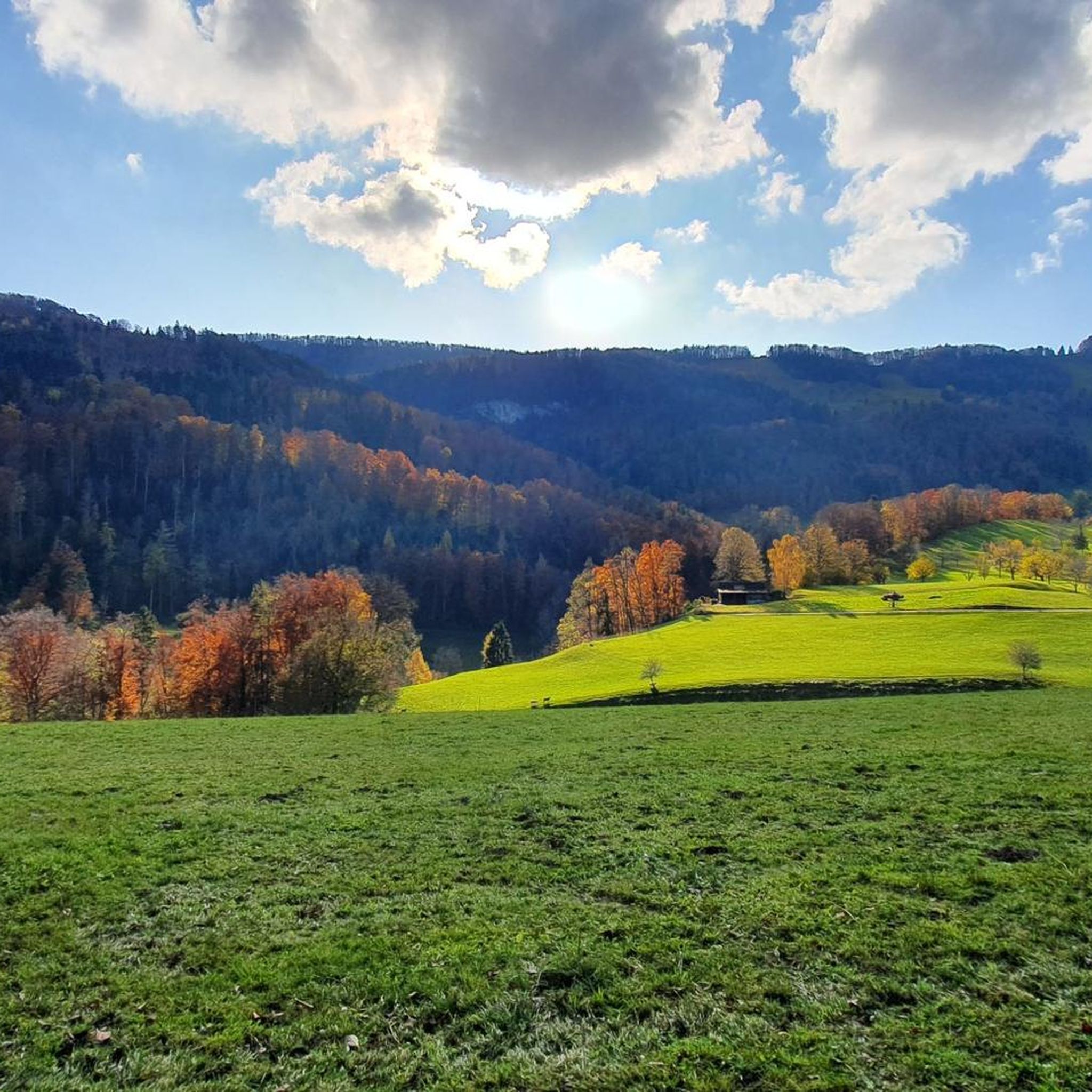
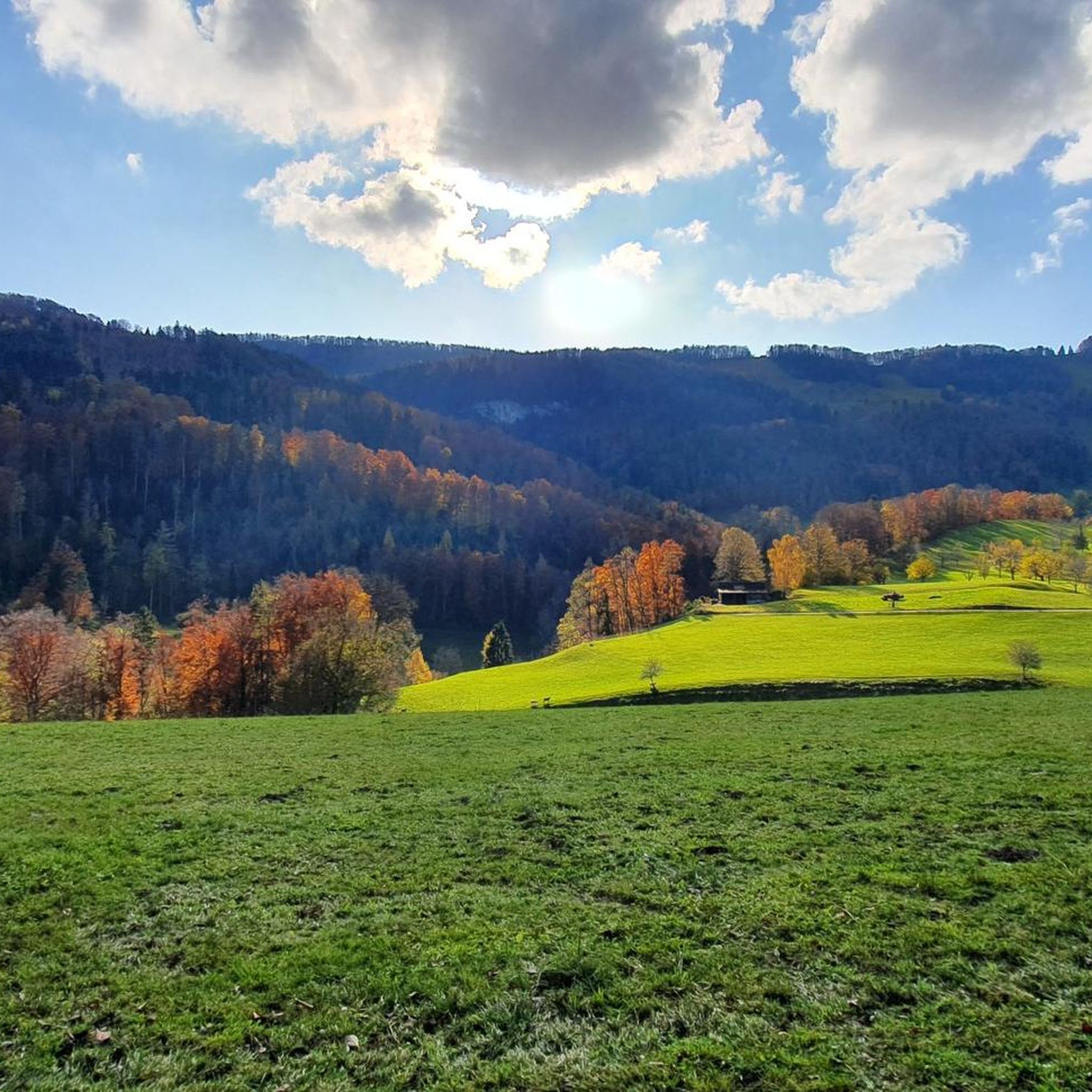
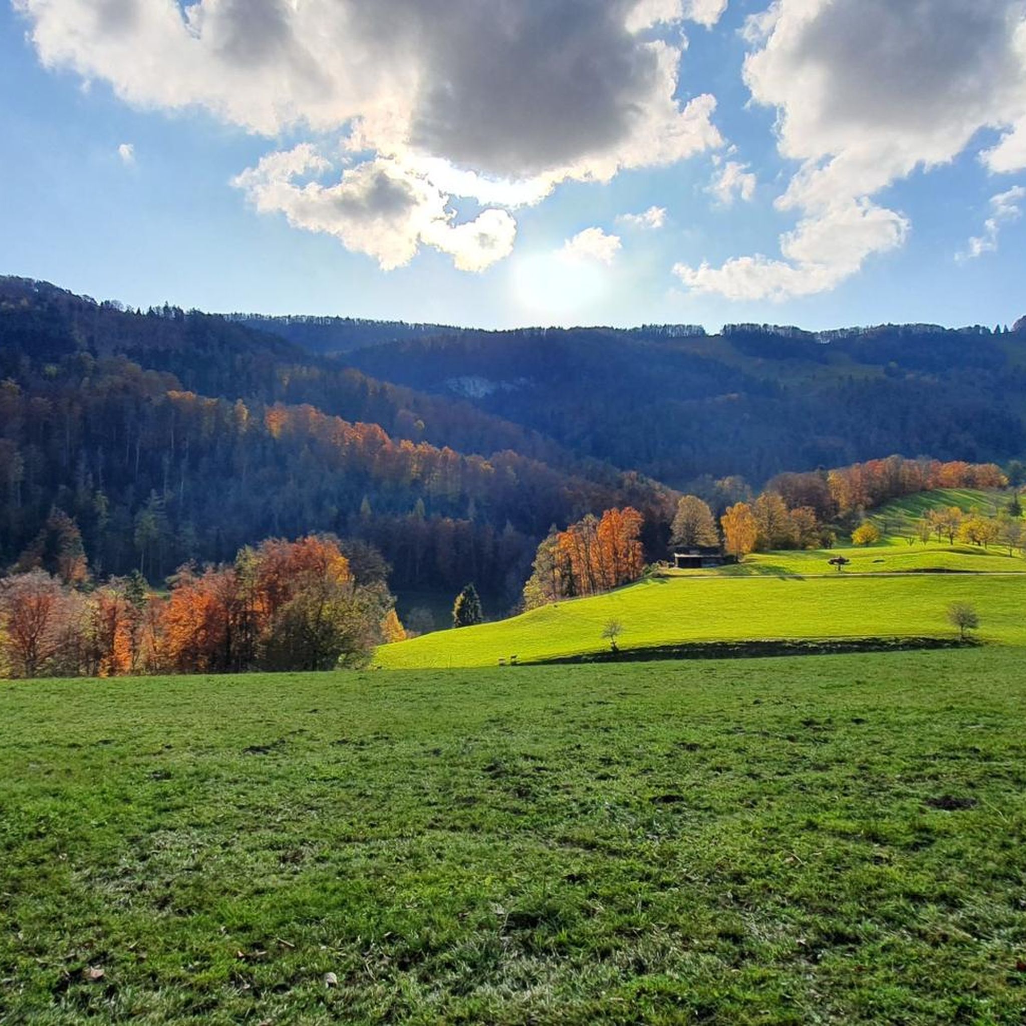
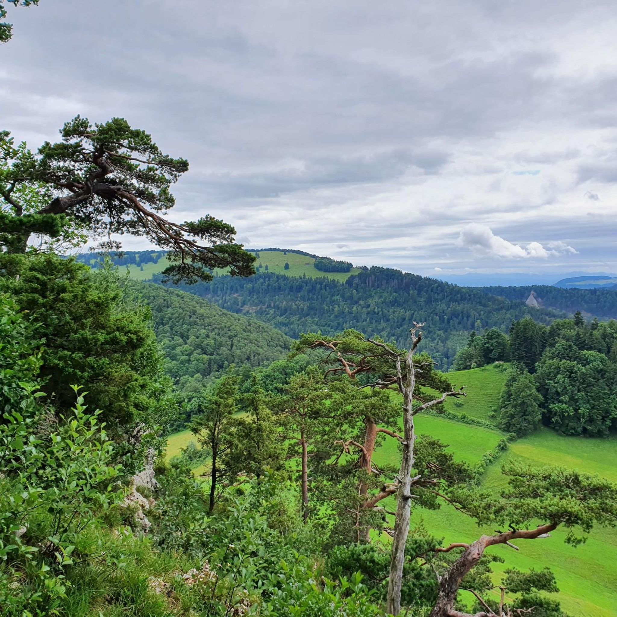

Tips from the Community


A very beautiful, not entirely easy, path through the Schelmenloch. There were definitely some rogues here—perhaps even a goblin or two...
0
0

The Jägerwägli is the most direct connection between the valley and mountain stations of the Wasserfallen. It goes over many small bridges, countless steps and even under waterfalls. For runners, the path is more suitable for the ascent, as it has high steps.
0
0
The 1,204 meter high Vogelberg offers a wonderful view, normally you can see as far as the Alps. Accessible from both sides via a technical single trail.
1
0

Beautiful summit and viewpoint at 1204 meters
6
1
The signpost is located just below the Vogelberg
6
0
Beautiful ridge path from the Rochus Chapel to the Vogelberg
8
0
The signpost is located right next to the hiking car park
5
0
Frequently Asked Questions
How many running routes are available around Lauwil?
Lauwil offers a wide variety of running routes, with over 150 different trails to explore. These routes cater to various fitness levels, ranging from easy paths to more challenging runs through mountainous terrain.
What kind of terrain can I expect on the jogging trails in Lauwil?
The jogging trails in Lauwil feature a diverse landscape characterized by gently rolling hills, dense forests, and open meadows. You'll find a mix of trail surfaces, from softer forest paths to more rugged mountain trails, especially in areas around Wasserfallen and Passwang.
Are there running routes suitable for beginners or those looking for an easier run?
Yes, Lauwil has options for all abilities. While many routes are moderate or difficult, there are 6 easy running routes available. Additionally, 109 moderate routes offer a good balance for those seeking a less strenuous but still engaging run.
Can I find routes with scenic views or landmarks in the Lauwil area?
Absolutely. Many routes offer stunning panoramic views, including potential glimpses of distant Alpine peaks from elevated positions. Notable viewpoints and summits include the Vogelberg Summit and the Belchenflue Summit Viewpoint. The Vogelberg Summit – View of the Alps from Passwang loop from Reigoldswil is particularly known for its expansive vistas.
Are there any circular running routes in Lauwil?
Yes, many of the running routes in Lauwil are circular, allowing you to start and finish at the same point. For example, the popular Aussen Sage Water Wheel – Bürten Horse Farm loop from Lauwil is a moderate 3.8-mile (6.1 km) circular trail.
Are the jogging trails around Lauwil suitable for families?
While the guide doesn't explicitly list 'family-friendly' routes, the presence of easy and moderate trails suggests that some paths, particularly those through meadows and forests with less elevation gain, could be suitable for families. Always check the route's difficulty and length before heading out.
Are the running paths in Lauwil dog-friendly?
Many outdoor trails in Switzerland are dog-friendly, but it's always recommended to keep dogs on a leash, especially in nature reserves, agricultural areas, or where wildlife is present. Specific rules can vary, so look for local signage.
Where can I park my car when accessing running trails in Lauwil?
Parking is generally available near popular trailheads in and around Lauwil and nearby villages like Reigoldswil. For routes starting from the Wasserfallen area, parking facilities are typically provided near the cable car station.
How can I reach the trailheads using public transport?
Lauwil and surrounding areas are accessible by public transport, primarily buses connecting to larger train stations. For example, the Wasserfallen cable car, a starting point for several routes, can be reached via public transport to Reigoldswil.
What do other runners say about the trails in Lauwil?
The running routes in Lauwil are highly rated by the komoot community, with an average score of 4.3 stars from over 90 reviews. More than 1900 runners have used komoot to explore the varied terrain, often praising the diverse scenery and well-maintained paths.
What is the best time of year for jogging in Lauwil?
Lauwil offers beautiful jogging conditions throughout much of the year. Spring and autumn provide pleasant temperatures and vibrant scenery, while summer runs can be refreshing, especially on shaded forest paths. Winter jogging is possible, but some higher elevation trails might be affected by snow or ice.
Are there any challenging running routes for experienced runners?
Yes, Lauwil is home to 40 difficult running routes, perfect for experienced runners seeking a challenge. These routes often feature significant elevation gain and mountainous terrain, such as the Wasserfallen Mountain Station – Vogelberg Summit loop from Reigoldswil, which covers 11.6 miles (18.6 km) with over 850 meters of ascent.
Most popular attractions around Lauwil

Get inspired with the komoot mobile app


Explore more
Browse the best Running Trails & Routes in other regions.
