The best running trails around Saint-Symphorien-Sous-Chomérac
4.2
(63)
2,615
runners
246
runs
Jogging around Saint-Symphorien-Sous-Chomérac offers a variety of running routes through diverse landscapes. The region features rolling hills, scenic river valleys, and accessible greenways. Many trails follow old railway lines, providing gentle slopes and natural settings for runners. The area's terrain includes a mix of asphalted paths and natural surfaces, suitable for different preferences.
Best jogging routes around Saint-Symphorien-Sous-Chomérac
- The most popular jogging route is Rhône viewpoint – Magnificent Views loop from Saint-Julien-en-Saint-Alban, a 10.0 miles (16.1 km) trail that…
Last updated: July 15, 2026
5.0
(1)
12
runners
16.1km
02:18
620m
620m
Hard run. Very good fitness required. Mostly accessible paths. Some sure footedness required.
6
runners
9.49km
01:00
100m
100m
Moderate run. Good fitness required. Mostly paved surfaces. Suitable for all skill levels.

Sign up for free
6
runners
10.4km
01:07
120m
120m
Moderate run. Good fitness required. Mostly paved surfaces. Suitable for all skill levels.
13
runners
6.07km
00:38
60m
60m
Moderate run. Good fitness required. Mostly paved surfaces. Suitable for all skill levels.
9
runners
Moderate run. Good fitness required. Mostly paved surfaces. Suitable for all skill levels.
Get access to more routes and recommendations from other explorers.
Sign up for free
Already have an account?
Our route recommendations are based on thousands of hikes, rides, and runs completed by other people on komoot.
Start today with a free account
Your next adventure awaits.
Login or Signup
Tips from the Community

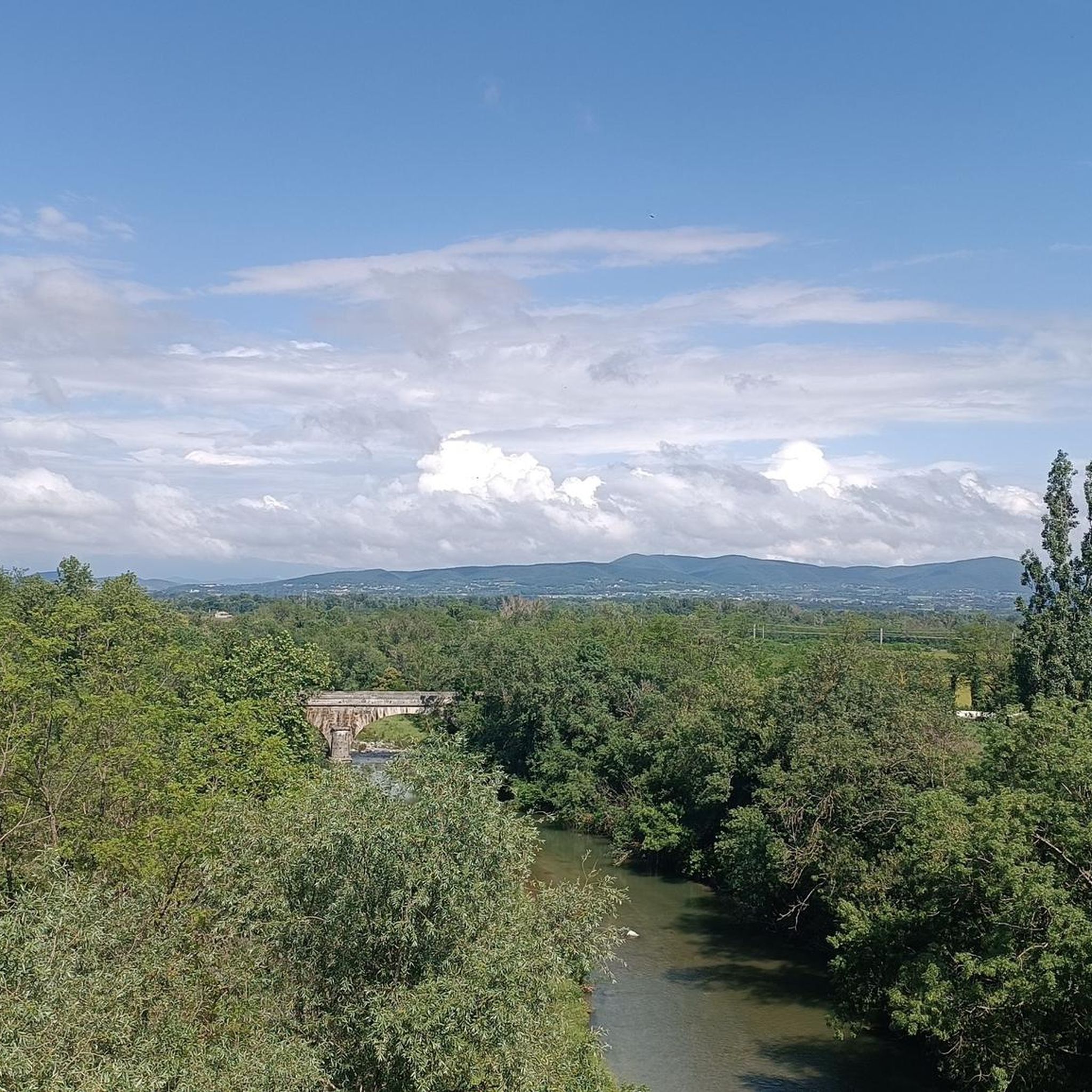
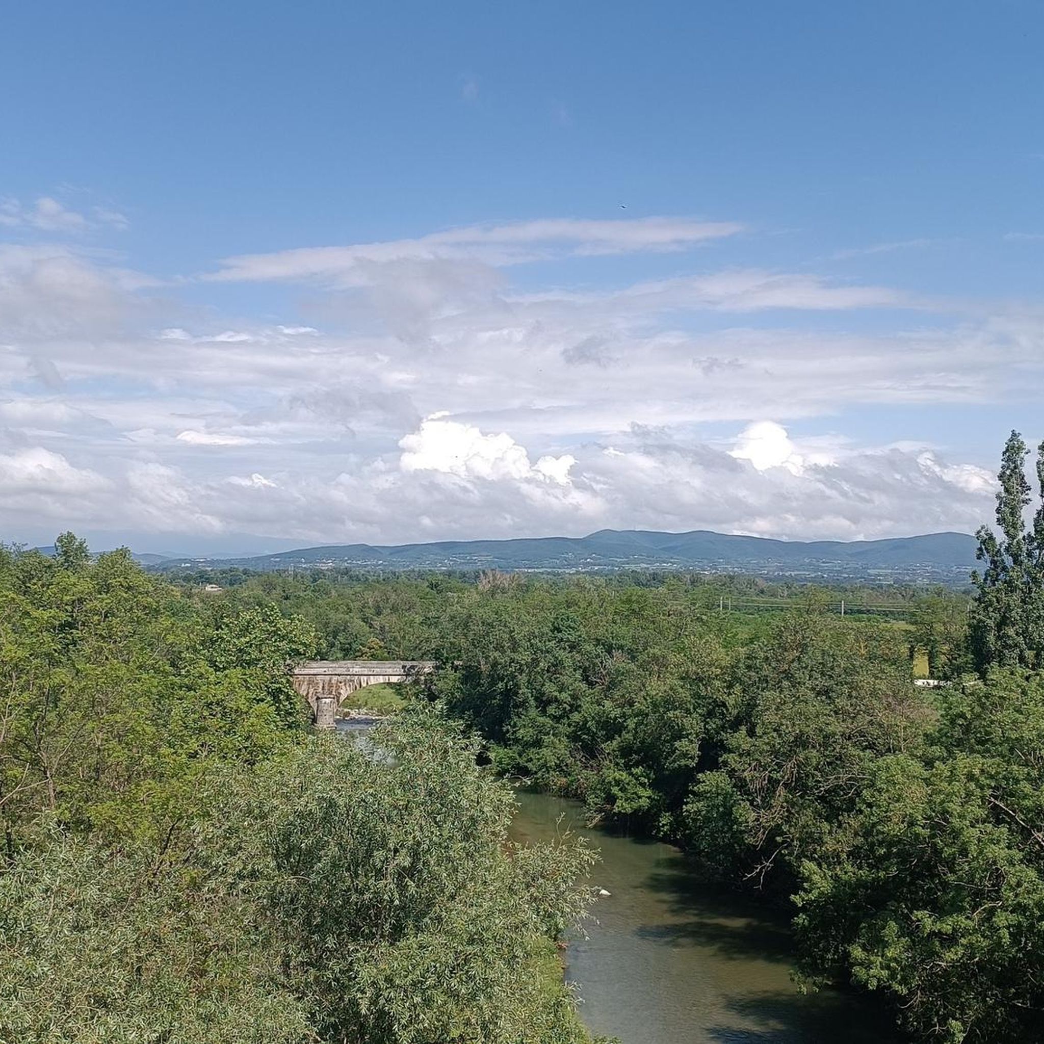
The suspension bridge over the La Payre River near Le Pouzin in the Ardèche is a functional structure that primarily serves as a pedestrian bridge. It connects the southern bank of the La Payre with the western part of the village and is a useful crossing for hikers and cyclists. The bridge is part of the "Voie douce de la Payre," a former railway line now used as a cycling and hiking path.
0
0
The suspension bridge over the La Payre River near Le Pouzin in the Ardèche is a functional structure that primarily serves as a pedestrian bridge. It connects the southern bank of the La Payre with the western part of the village and is a useful crossing for hikers and cyclists. The bridge is part of the "Voie douce de la Payre," a former railway line now used as a cycling and hiking path.
0
0
The "Voie Douce de la Payre" railway cycle path connects Le Pouzin to Privas in the Ardèche and follows the route of the former Pouzin–Privas railway line. Opened in 1861, this line was the first railway connection in the Ardèche department. Initially used to transport iron ore, it later also carried passengers and freight before being closed in 1994. Today, the approximately 20 km long cycle path is fully paved and runs almost level along the Payre River, a tributary of the Rhône. The path leads through tunnels and over viaducts, offering impressive views of the surrounding gorges and villages such as Chomérac and Alissas. Its easy accessibility makes it ideal for family outings and connects the ViaRhôna with the Dolce Via, two other popular cycle paths in the region.
0
0
The "Voie Douce de la Payre" railway cycle path connects Le Pouzin to Privas in the Ardèche and follows the route of the former Pouzin–Privas railway line. Opened in 1861, this line was the first railway connection in the Ardèche department. Initially used to transport iron ore, it later also carried passengers and freight before being closed in 1994. Today, the approximately 20 km long cycle path is fully paved and runs almost level along the Payre River, a tributary of the Rhône. The path leads through tunnels and over viaducts, offering impressive views of the surrounding gorges and villages such as Chomérac and Alissas. Its easy accessibility makes it ideal for family outings and connects the ViaRhôna with the Dolce Via, two other popular cycle paths in the region.
1
0

This ford is only passable on hot days and when the water is low. Because of the risk of falling, it is safer to use the suspension bridge next to it.
0
0
Another modern suspension bridge that sways over the river la Payre. Next to it is a ford that is probably only passable at low water.
0
0

Try to stay in the lanes of cars as much as possible. There is silt in the middle and it is slippery, so there is a chance that you will fall.
1
0

Avoid crossing through the water, high change of falling! Use the bridge instead!
1
0
Frequently Asked Questions
How many running routes are available around Saint-Symphorien-Sous-Chomérac?
There are over 250 diverse running routes around Saint-Symphorien-Sous-Chomérac, catering to various fitness levels. You'll find everything from easy, flat paths to more challenging trails with significant elevation.
What kind of terrain can I expect on the running trails in this region?
The region offers a mix of terrains, including accessible greenways and former railway lines like the Voie verte La Dolce Via and Payre Greenway, which provide gentle slopes and natural settings. You'll also encounter rolling hills and scenic river valleys, with some routes featuring asphalted paths and others natural surfaces.
Are there easy running routes suitable for beginners or a relaxed jog?
Yes, there are 16 easy running routes around Saint-Symphorien-Sous-Chomérac. Many of these follow former railway lines, offering mostly flat or gently rolling paths. A good example is the Rail-trail cycle path in Le Pouzin loop from Parking la Garenne, which is a moderate 6.1 km route with minimal elevation.
What do other runners enjoy most about the trails in Saint-Symphorien-Sous-Chomérac?
The running routes in Saint-Symphorien-Sous-Chomérac are highly rated by the komoot community, with an average score of 4.3 stars from over 50 reviews. Runners often praise the diverse landscapes, from scenic river valleys to accessible greenways, and the variety of options for different ability levels.
Are there any running routes with panoramic views?
Absolutely. Many routes offer stunning vistas of the surrounding landscape. For magnificent views, consider the Rhône viewpoint – Magnificent Views loop from Saint-Julien-en-Saint-Alban, a challenging 16.1 km trail that provides panoramic views of the Rhône Valley.
Can I find circular running routes in the area?
Yes, many of the running routes around Saint-Symphorien-Sous-Chomérac are circular, allowing you to start and finish at the same point. The Running loop from Baix - Croisement Garenne is a popular 9.5 km circular trail that leads through varied terrain.
Are there any family-friendly running trails?
The greenways and former railway lines in the region are generally suitable for families due to their gentle slopes and smooth surfaces. These paths often avoid steep climbs, making them ideal for a family jog or walk. Look for routes marked as 'easy' for the most family-friendly options.
What interesting landmarks or natural features can I see along the running routes?
While jogging, you can encounter several points of interest. The La Voulte-sur-Rhône area, for instance, offers historical sites and a significant bridge. You might also pass by the La Payre, south of Le Pouzin river, or even the unique EDF Cruas power plant with mural, which stands out as an unexpected sight.
Are there running routes that are dog-friendly?
Many of the natural trails and greenways in the Saint-Symphorien-Sous-Chomérac region are suitable for running with dogs, provided they are kept on a leash and you follow local regulations. Always ensure your dog is well-behaved and that you clean up after them to maintain the natural beauty of the trails.
What is the best time of year to go running in Saint-Symphorien-Sous-Chomérac?
Early spring or summer mornings are often recommended for running, especially on shaded greenways like the Voie verte La Dolce Via, to enjoy cooler temperatures and natural beauty. The region's diverse landscapes make it appealing throughout the year, but checking local weather conditions is always advisable.
Are there routes that utilize old railway lines?
Yes, the region is known for its greenways that follow old railway lines. The Voie verte La Dolce Via and the Payre Greenway are prime examples, offering mostly flat or gently rolling paths, often asphalted, making them excellent for smooth running.
Can I find challenging running trails for more experienced runners?
Certainly. Out of the 250+ routes, 63 are classified as difficult, featuring greater elevation changes and longer distances. The Rhône viewpoint – Magnificent Views loop from Saint-Julien-en-Saint-Alban, for example, is a difficult 16.1 km route with over 600 meters of elevation gain, perfect for a challenging run.
Most popular routes around Saint-Symphorien-Sous-Chomérac
Most popular attractions around Saint-Symphorien-Sous-Chomérac

Get inspired with the komoot mobile app


Explore more
Browse the best Running Trails & Routes in other regions.
