The best walks and hikes around Lablachère
4.4
(4256)
19,200
hikers
19
hikes
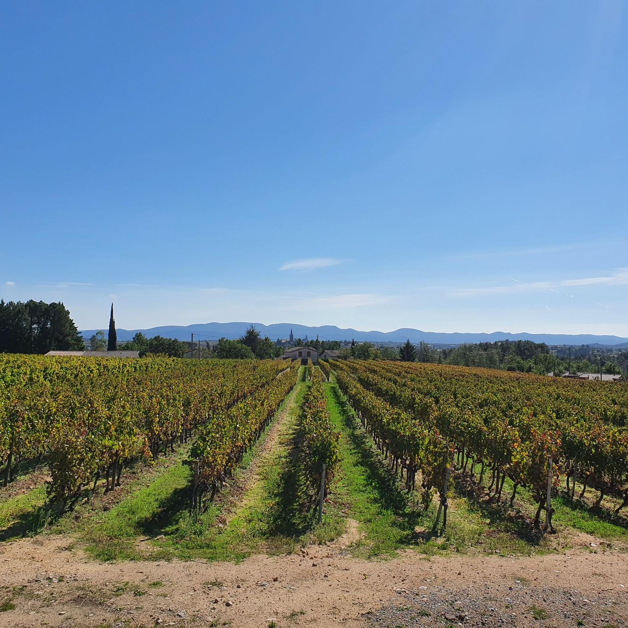
Hiking around Lablachère offers diverse terrain, blending Cévennes foothills with limestone plateaus. The region features varied landscapes, from oak vegetation to river gorges like the Chassezac and the nearby Gorges de l'Ardèche. Hikers can explore ancient megalithic structures and paths winding through vineyards on terraced slopes. This area provides a comprehensive network of trails suitable for various skill levels.
Best hiking trails around Lablachère
- The most popular hiking route is View of Joyeuse – View of Notre-Dame de Viviers loop from Lablachère, a 3.7 miles (5.9 km) trail that takes 1 hour 33 minutes to complete. This easy route offers scenic views of Joyeuse and Notre-Dame de Viviers.
- Another top favourite among local hikers is The Aven of Réméjadou loop from Ranc de Boeuf, a moderate 3.5 miles (5.7 km) path. This trail explores the unique geological landscape around the Aven de Réméjadou, characterized by impressive limestone rocks.
- Local hikers also love the View of Notre-Dame de Viviers loop from Lablachère, a 6.4 miles (10.3 km) trail leading through varied terrain with vistas of Notre-Dame de Viviers, often completed in about 2 hours 44 minutes.
- Hiking around Lablachère is defined by limestone plateaus, Cévennes foothills, and paths through vineyards. The extensive trail network offers options for different ability levels, from easy strolls to more strenuous hikes.
- The routes in Lablachère are highly rated by the komoot community with an average score of 4.5 stars from more than 3,900 reviews. More than 19,000 hikers have used komoot to explore Lablachère's varied terrain.
Last updated: September 1, 2026
4.7
(13)
48
hikers
Easy hike. Great for any fitness level. Easily-accessible paths. Suitable for all skill levels.
4.7
(6)
35
hikers
5.69km
01:41
60m
60m
Moderate hike. Great for any fitness level. Mostly accessible paths. Sure-footedness required.

Sign up for free
4.3
(3)
16
hikers
10.3km
02:44
80m
80m
Moderate hike. Good fitness required. Mostly accessible paths. Sure-footedness required.
4.0
(2)
14
hikers
Moderate hike. Good fitness required. Mostly accessible paths. Sure-footedness required.
3.0
(1)
12
hikers
15.4km
04:22
170m
170m
Moderate hike. Good fitness required. Mostly accessible paths. Sure-footedness required.
Get access to more routes and recommendations from other explorers.
Sign up for free
Already have an account?
Our route recommendations are based on thousands of hikes, rides, and runs completed by other people on komoot.
Start today with a free account
Your next adventure awaits.
Login or Signup
Tips from the Community

The Aven du Réméjadou constitutes an impressive opening on the Plateau des Gras onto a vast underground network, submerged almost over its entire length. Isolated in the middle of a forest of shaggy oaks in a ruiniform and chaotic environment of large blocks of limestone, the entrance is characterized by a deep gap. 26 meters high, the well opens directly onto an underground river that can be heard very clearly from the entrance. In heavy rains, the waters of the river sometimes rise up the well with a roar which can then be perceptible from afar. Given its characteristics, the exploration of this network where exposed sections are rare remains the almost exclusive domain of seasoned cave divers.
0
0
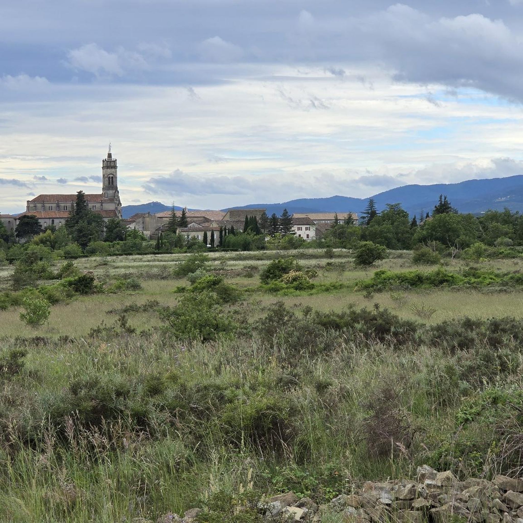
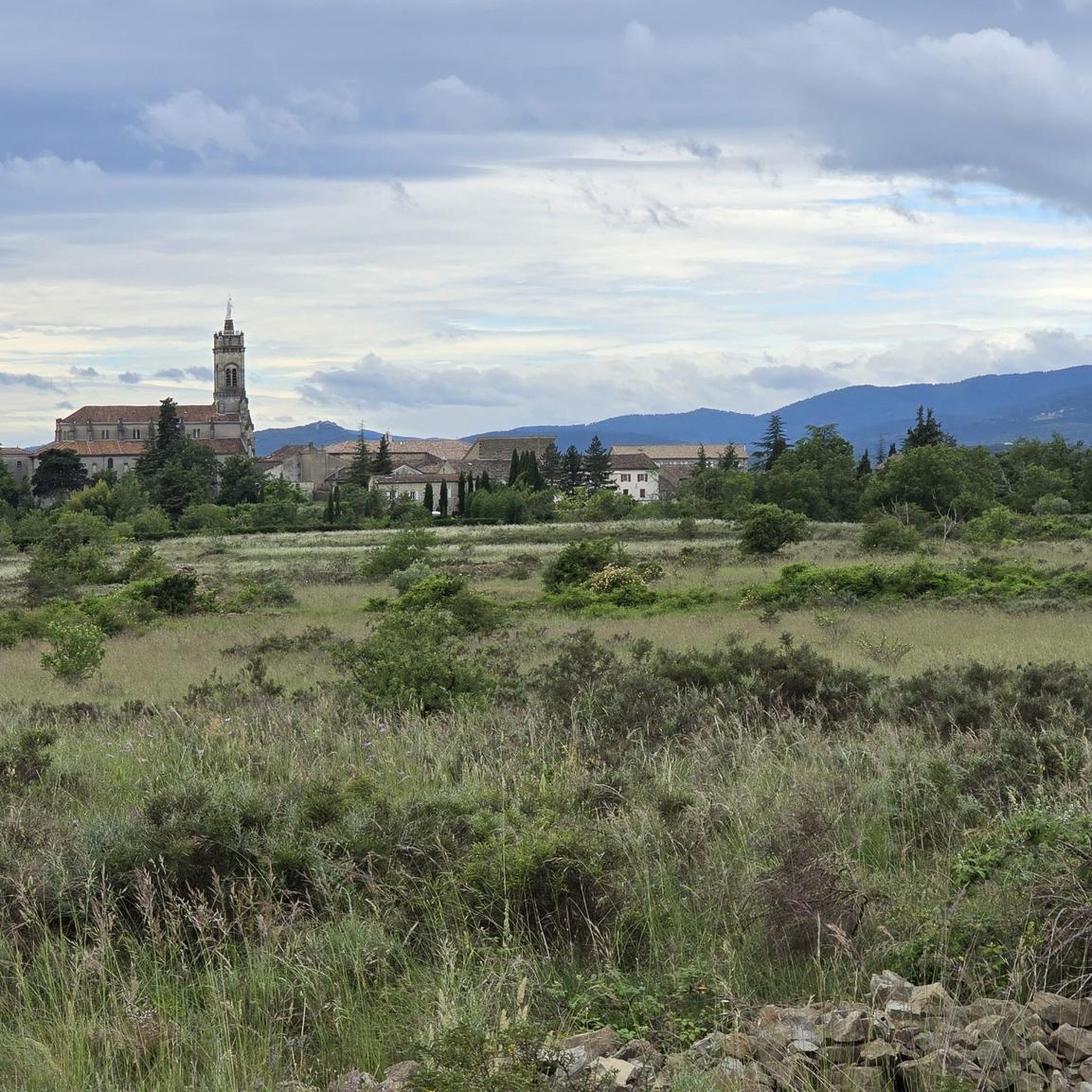
A beautiful view of the valley and Joyeuse.
1
0

On your right, you will see a path that you can take to see the Réméjadou sinkhole. Be careful because the sinkhole is deep and the surroundings can be slippery. Quotation taken from the site http://photoardeche.free.fr/themes/grottes/zone_gras/remejadou/index.htm "Cavity explored for the first time on July 7, 1892 by Gabriel Gaupillat Coordinates: X= 753.117 Y= 239.240 Z = 195.1 - Depth: - 51 meters The Aven du Réméjadou constitutes on the Plateau des Gras an impressive opening onto a vast underground network, submerged almost over its entire length. Isolated in the middle of a forest of shaggy oaks in a ruiniform and chaotic environment of large blocks of limestone, the entrance is characterized by a deep gap. 26 meters high, the well opens directly onto an underground river that can be heard very clearly from the entrance. In heavy rains, the waters of the river sometimes rise up the well with a roar which can then be perceptible from afar. Given its characteristics, the exploration of this network where exposed sections are rare remains the almost exclusive domain of seasoned cave divers.
0
0

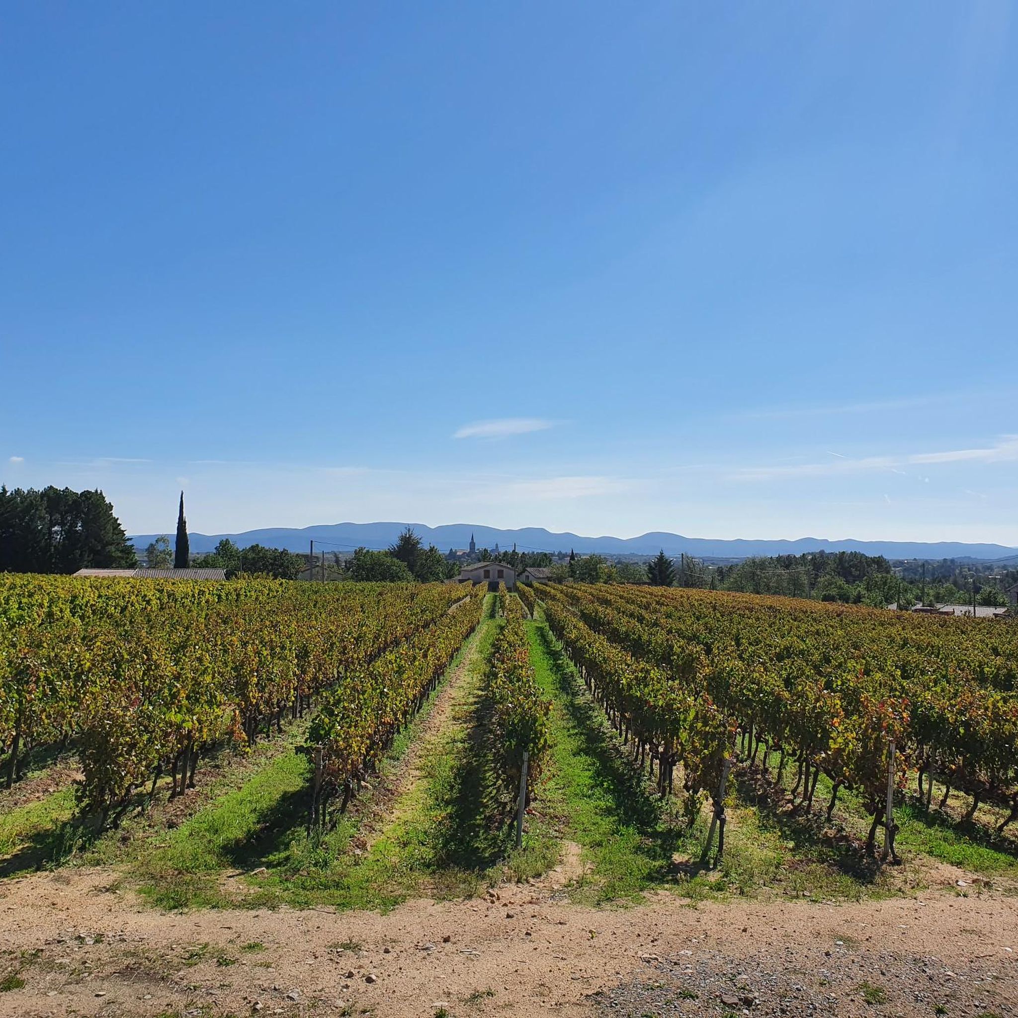
easy route, sumptuous Ardèche landscapes
0
0

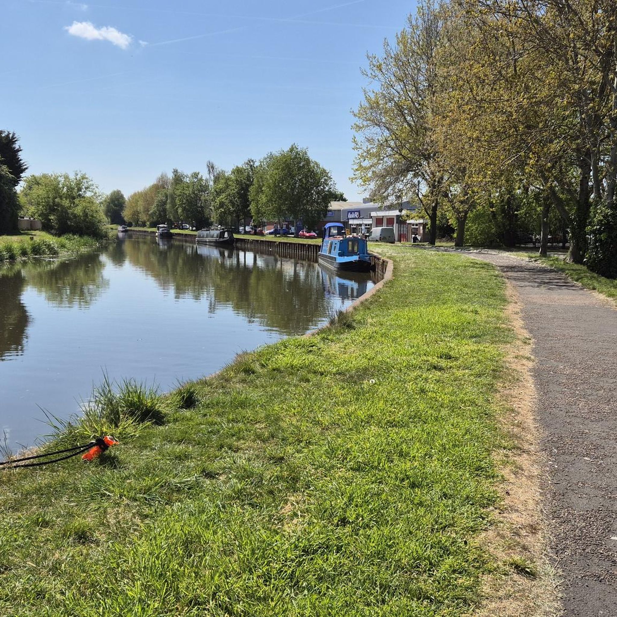
Very nice place on the Beaume
1
0


Exciting crossing of the Beaume. Looks easy, but with a little higher water level due to the slippery stones is not easy to master. Definitely fun!
1
0

View of the Beaume and hamlet le Garet
1
0
Frequently Asked Questions
What kind of hiking trails can I expect around Lablachère?
Lablachère offers a diverse range of hiking experiences, from gentle walks across limestone plateaus with oak vegetation to more challenging routes in the Cévennes foothills. You'll find paths winding through vineyards on terraced slopes, and trails leading to impressive geological features like the Aven de Réméjadou. The region's extensive network includes nearly 20 trails, catering to various fitness levels.
Are there easy hiking trails suitable for beginners or families in Lablachère?
Yes, Lablachère has several easy trails perfect for beginners or families. For instance, the View of Joyeuse – View of Notre-Dame de Viviers loop from Lablachère is an easy 5.9 km route that takes about 1 hour 33 minutes, offering scenic views. There are 5 easy routes in total, providing accessible options for a relaxed outdoor experience.
What are some notable natural attractions or landmarks to see while hiking?
The region is rich in natural and historical landmarks. You can explore the unique limestone rock formations around the Aven of Réméjadou. Nearby, the Bois de Païolive offers stunning natural beauty and leads towards the Chassezac river. You might also encounter ancient megalithic structures like dolmens, or enjoy panoramic views of Joyeuse and Notre-Dame de Viviers from various trails.
Are there any circular hiking routes available in Lablachère?
Yes, many of the trails around Lablachère are circular, allowing you to start and end at the same point. A popular moderate option is the View of Notre-Dame de Viviers loop from Lablachère, a 10.3 km trail with varied terrain. Another is the View of Joyeuse – The Aven of Réméjadou loop from Lablachère, a longer moderate route at 15.4 km.
What do other hikers say about the trails in Lablachère?
The hiking trails in Lablachère are highly regarded by the komoot community, with an average rating of 4.5 stars from nearly 4,000 reviews. Over 19,000 hikers have explored the area using komoot, often praising the varied terrain, scenic views, and the well-maintained network of paths.
Can I find trails that offer views of the Gorges de l'Ardèche or other rivers?
While Lablachère itself is not directly in the Gorges de l'Ardèche, the spectacular gorges are easily accessible from the town. Some trails in the area, such as the Path along the Beaume – View of Joyeuse loop from Lablachère, offer glimpses of the Beaume river and its surroundings. The Bois de Païolive, located nearby, also features trails leading to the Chassezac river.
Are there any historical sites or castles accessible from the hiking trails?
Yes, the region around Lablachère has a rich history. Hikers may encounter Gallo-Roman vestiges and numerous dolmens, including a 'pont mégalithique'. For those interested in castles, you can find highlights like the Château de Chastelas Ruins or the Belvedere at the Château de Montréal, which can be explored in conjunction with nearby trails.
What is the best time of year to go hiking in Lablachère?
Lablachère is suitable for hiking across multiple seasons. Spring and autumn offer pleasant temperatures and vibrant landscapes, with blooming flora or rich autumnal colors. Summer can be warm, making early morning or late afternoon hikes ideal, especially for trails with shade. Winter hiking is also possible, though some routes might require appropriate gear depending on conditions.
Are there any trails that go through vineyards or showcase the region's agricultural heritage?
Absolutely. The region is known for its agricultural heritage, and you can find trails that wind through vineyards planted on terraces, locally known as 'faïsses'. These paths offer scenic views and a glimpse into the traditional winegrowing practices of the Ardèche, such as the 'Winegrower's Trail' mentioned in local information.
What kind of terrain and elevation changes should I expect on the trails?
The terrain around Lablachère is varied, ranging from relatively flat limestone plateaus to more undulating Cévennes foothills. You can expect a mix of gentle ascents and descents. For example, an easy route like the View of Joyeuse – View of Notre-Dame de Viviers loop has minimal elevation gain, while moderate trails will feature more noticeable climbs, offering diverse challenges for hikers.
Are there any unique geological features to explore on hikes near Lablachère?
Yes, the area is known for its distinctive geology. The Aven of Réméjadou loop specifically explores impressive limestone rocks and karst landscapes. Additionally, the nearby Labyrinth of Rocks of the Cévennes and the dramatic Cirque de Gens (Ardèche) offer fascinating geological formations for hikers to discover.
Most popular routes around Lablachère
Most popular attractions around Lablachère

Get inspired with the komoot mobile app


Explore more
Browse the best Hikes in other regions.
