The best running trails around Deitingen
4.4
(297)
8,133
runners
468
runs
Jogging around Deitingen offers access to diverse landscapes within the Solothurn region of Switzerland. The area features riverside paths along the Aare, trails near the Verenaschlucht (Verena Gorge), and accessible routes on the Weissenstein mountain. These natural features provide varied terrain for running, from flatter sections to paths with some elevation. The region's network of paths caters to different fitness levels, making it suitable for a range of running experiences.
Best jogging routes around Deitingen
- The most popular jogging route…
Last updated: September 30, 2026
4.6
(5)
150
runners
Hard run. Very good fitness required. Mostly paved surfaces. Suitable for all skill levels.
28
runners
5.93km
00:37
10m
10m
Moderate run. Good fitness required. Mostly paved surfaces. Suitable for all skill levels.

23
runners
Moderate run. Good fitness required. Mostly paved surfaces. Suitable for all skill levels.
4.0
(1)
15
runners
8.22km
00:52
20m
20m
Moderate run. Good fitness required. Mostly paved surfaces. Suitable for all skill levels.
14
runners
Hard run. Very good fitness required. Mostly paved surfaces. Suitable for all skill levels.
Get access to more routes and recommendations from other explorers.
Already have an account?
Our route recommendations are based on thousands of hikes, rides, and runs completed by other people on komoot.
Start today with a free account
Your next adventure awaits.

Tips from the Community

Besides the old wooden bridge, the Salt House is probably the most mentioned building in Wangen an der Aare
0
0

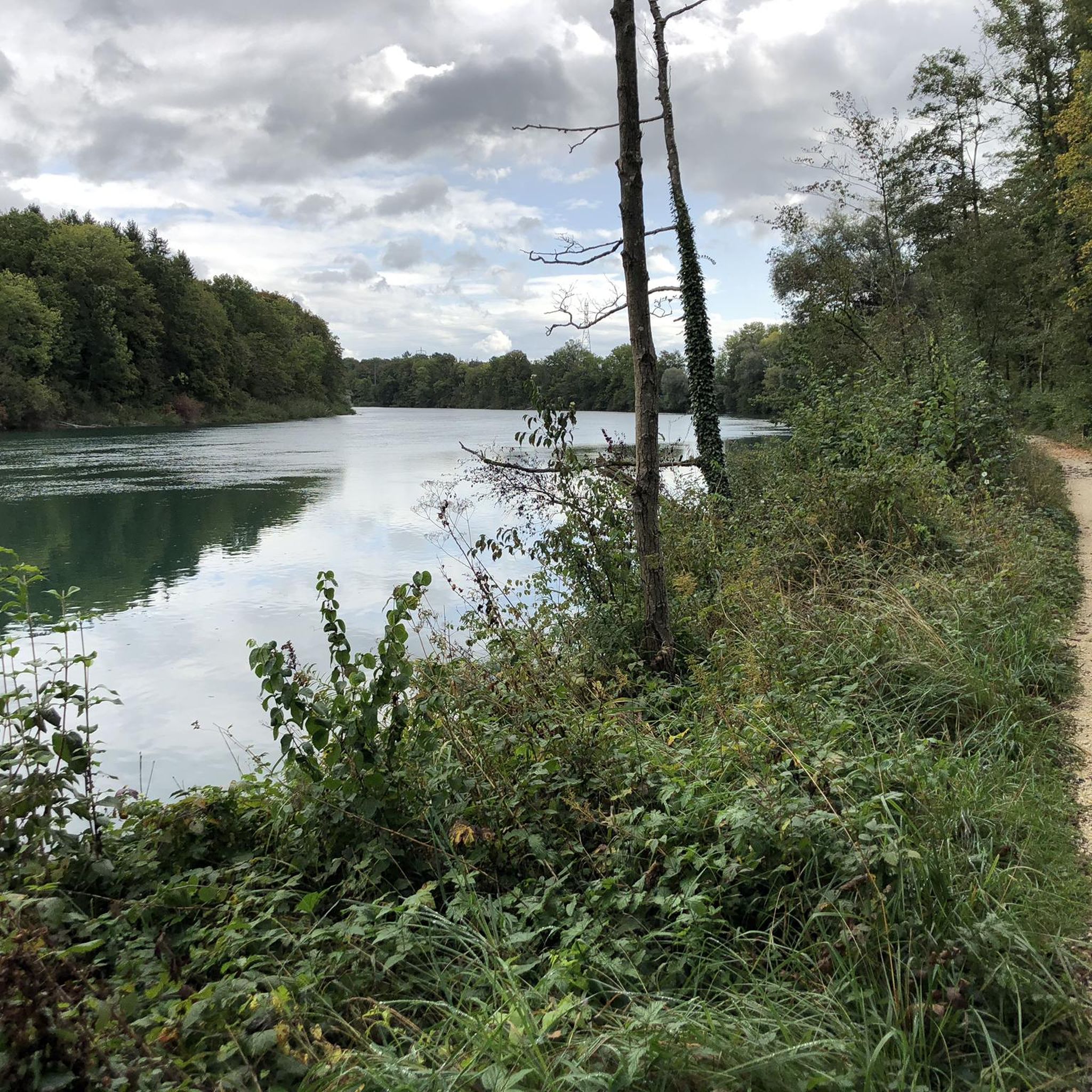
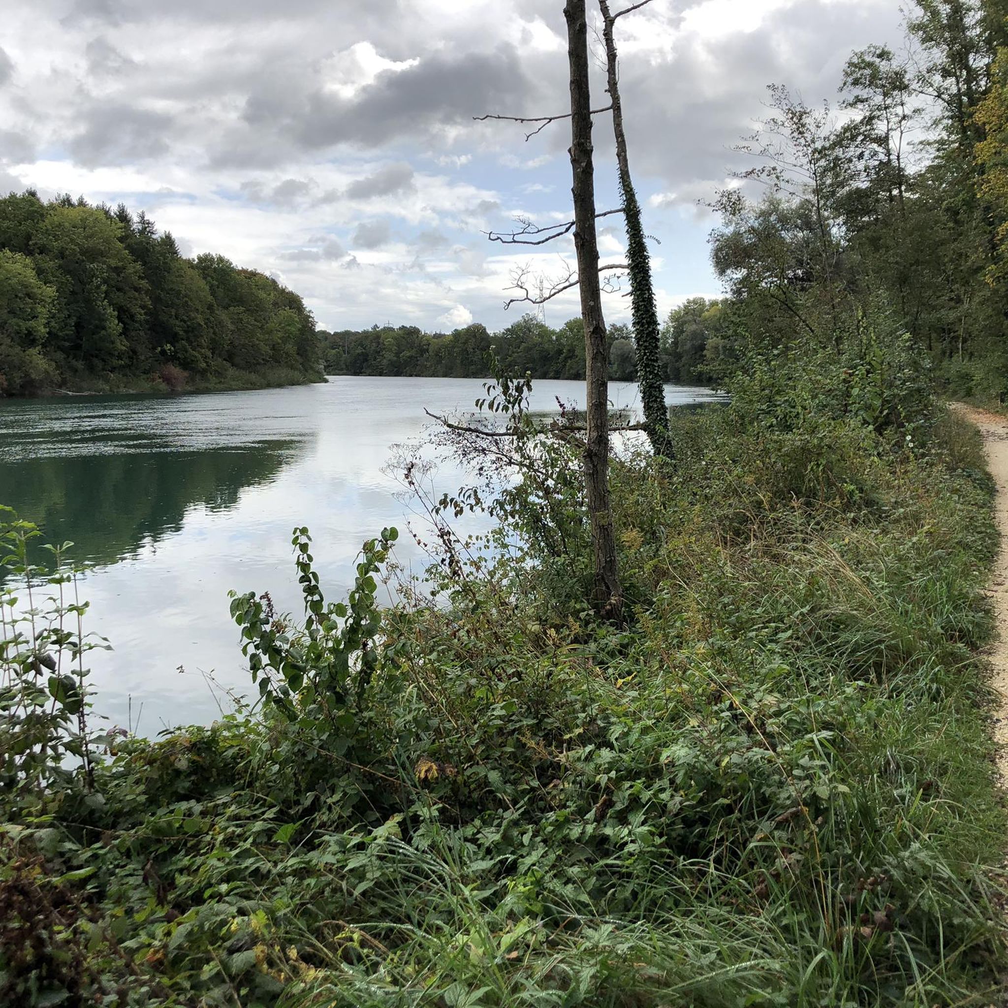
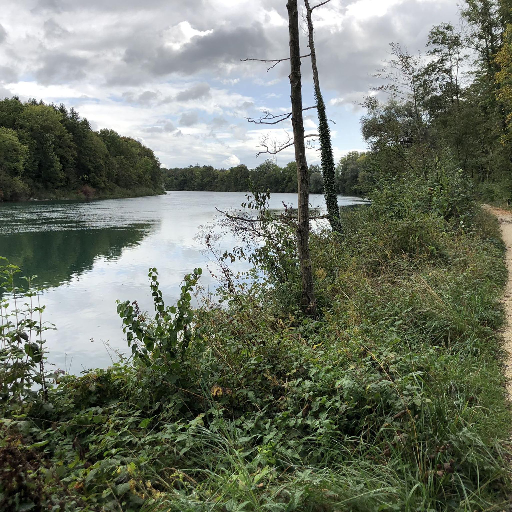
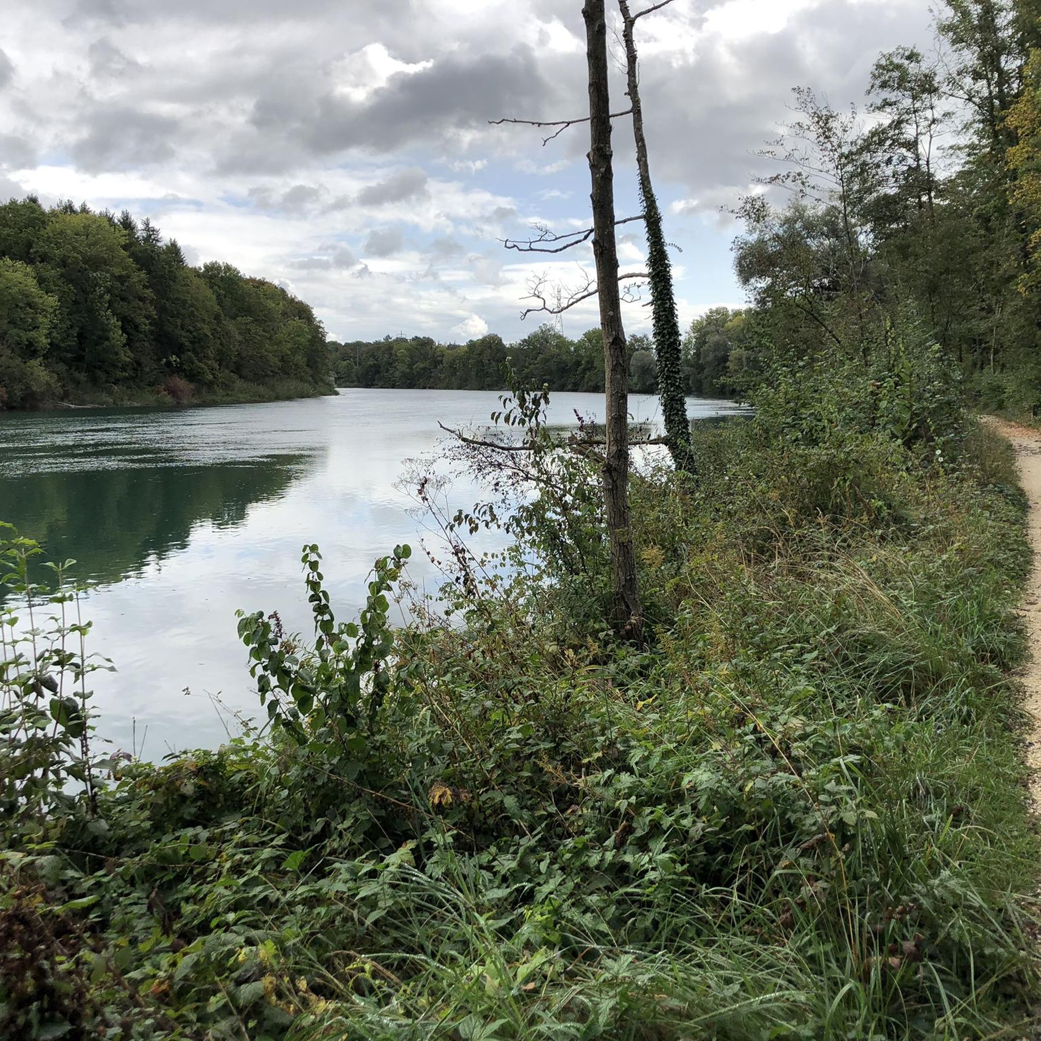
This section is beautiful; a good gravel road makes for a leisurely and relaxing ride along the Aare River between Wangen and Solothurn. However, part of the route is closed until the end of 2027 due to the expansion of the A1 motorway. A partially signposted detour is in place.
0
0
Unfortunately, a lot is changing with the lane widening of the A1, as embankments have been cleared and a lane for construction vehicles has been built.
0
0

1881 Kantine - the culinary meeting place on the Aare. Succulent meat specialties or vegan delicacies, freshly prepared daily - whether to take away or enjoy on site. Info: https://www.1881kantine.ch/de/
0
0

Beautiful garden restaurants for a cozy coffee break.
0
0

It must be very nice to sit here when the sun is shining!
1
0

Parking on both sides! Beautiful bike paths in all directions.
0
0

Frequently Asked Questions
How many running routes are available around Deitingen?
There are nearly 500 running routes around Deitingen listed on komoot, offering a wide variety of options for all fitness levels. This includes 23 easy, 400 moderate, and 67 difficult trails.
What kind of terrain can I expect on jogging routes near Deitingen?
Jogging routes near Deitingen feature diverse terrain. You'll find scenic riverside paths along the Aare, trails through the picturesque Verenaschlucht (Verena Gorge), and accessible paths on Weissenstein mountain. The region offers a mix of flatter sections and paths with some elevation, catering to different preferences.
Are there any family-friendly running trails in the Deitingen area?
Yes, the region offers several routes suitable for families. The View of the Aare loop from Wangen an der Aare is a moderate 3.7-mile (5.9 km) path that provides a shorter, scenic run along the Aare, perfect for a family outing. Many paths on Weissenstein mountain are also known for being flat and accessible.
What are some scenic viewpoints or natural attractions I can see while running near Deitingen?
The Deitingen area is rich in natural beauty. You can enjoy panoramic views from Weissenstein mountain, explore the unique Verenaschlucht and Hermitage, or discover the Wolf Gorge. The Emmenspitz, where the Emme and Aare rivers converge, is another notable natural monument.
Are there any circular running routes around Deitingen?
Yes, many routes in the area are circular. For example, the Luterbach Railway Station – Parkforum Wylihof Manor House loop from Luterbach-Attisholz is a 4.5-mile (7.3 km) trail that takes you through varied local scenery. Another option is the Wide Countryside Landscape loop from Deitingen, which covers 8.2 km.
What do other runners enjoy most about jogging in Deitingen?
The running routes around Deitingen are highly rated by the komoot community, with an average score of 4.4 stars from over 240 reviews. Runners often praise the diverse landscapes, from riverside paths to trails with elevation, and the well-maintained network of paths that cater to various fitness levels.
Are there any challenging running trails for experienced runners near Deitingen?
Yes, for experienced runners seeking a challenge, the View of the Aare loop from Luterbach-Attisholz is a difficult 11.9-mile (19.1 km) trail offering extensive views of the Aare river loop. There are 67 difficult routes in total, providing plenty of options for those looking for a more strenuous run.
Can I access running routes near Deitingen using public transport?
Deitingen's location within the Solothurn region generally allows for good access to outdoor activities. While specific public transport details for each trailhead vary, the Swiss public transport network is extensive, making it feasible to reach many starting points for runs. The Luterbach Railway Station – Parkforum Wylihof Manor House loop, for instance, starts near a railway station.
Are there any historical landmarks or castles to see near the running routes?
Yes, the region around Deitingen is home to several historical sites. While jogging, you might encounter views of various castles. Notable examples include the ruins of Balmfluh Castle, Waldegg Castle, and Buchegg Castle, adding a cultural dimension to your run.
What is the best time of year for jogging in Deitingen?
The region around Deitingen offers pleasant jogging conditions throughout much of the year. Spring and autumn provide mild temperatures and beautiful scenery. Summer is also suitable, especially in the mornings or evenings, or on routes with good tree cover. Winter jogging is possible, particularly on lower-elevation paths, though conditions may vary.
Are there any easy or beginner-friendly running routes in Deitingen?
Yes, Deitingen offers 23 easy routes, perfect for beginners or those looking for a relaxed run. Many of the paths along the Aare River, such as the View of the Aare loop from Wangen an der Aare, are moderate and relatively flat, making them accessible for those new to running or seeking a less strenuous experience.
Are dogs allowed on the running trails around Deitingen?
Many outdoor trails in Switzerland are dog-friendly, but specific rules regarding leashes can vary by municipality or protected area. It's generally advisable to keep dogs on a leash, especially in populated areas, near livestock, or in nature reserves. Always check local signage for specific regulations along your chosen route.
Most popular routes around Deitingen
Most popular attractions around Deitingen

Get inspired with the komoot mobile app


Explore more
Browse the best Running Trails & Routes in other regions.
