The best mountain hikes in St. Gallen
4.7
(105)
989
hikers
79
hikes
Mountaineering routes in St. Gallen are primarily defined by the Alpstein mountain range, a sub-group of the Appenzell Alps. This region features dramatic limestone walls, rugged alpine terrain, and a dense network of trails. Notable peaks like Säntis (2,502 m / 8,209 ft) and Altmann (2,435 m / 7,989 ft) offer significant elevation gains and panoramic views. Picturesque alpine lakes such as Seealpsee and Fählensee are also embedded within this landscape, providing scenic destinations.
Best mountaineering routes in St. Gallen
…Last updated: October 18, 2026
4.9
(16)
94
hikers
15.5km
08:19
1,300m
1,300m
Hard mountaineering route. Very good fitness required. Sure-footedness, sturdy shoes and alpine experience required.
5.0
(10)
25
hikers
12.5km
07:26
1,070m
1,070m
Hard mountaineering route. Very good fitness required. Sure-footedness, sturdy shoes and alpine experience required.

5.0
(4)
61
hikers
14.5km
05:57
830m
820m
Hard mountaineering route. Very good fitness required. Mostly walkable paths. Sure-footedness required.
5.0
(3)
38
hikers
15.6km
07:09
1,020m
1,020m
Hard mountaineering route. Very good fitness required. Mostly walkable paths. Sure-footedness required.
5.0
(4)
38
hikers
10.3km
06:30
1,200m
1,200m
Hard mountaineering route. Very good fitness required. Sure-footedness, sturdy shoes and alpine experience required.
5.0
(3)
31
hikers
11.3km
05:39
710m
710m
Hard mountaineering route. Very good fitness required. Sure-footedness, sturdy shoes and alpine experience required.
4.5
(2)
23
hikers
12.0km
05:20
1,020m
1,020m
Hard mountaineering route. Very good fitness required. Mostly walkable paths. Sure-footedness required.
4.3
(3)
28
hikers
17.9km
07:17
1,050m
1,050m
Hard mountaineering route. Very good fitness required. Sure-footedness, sturdy shoes and alpine experience required.
4.7
(3)
22
hikers
5.89km
03:31
600m
600m
Hard mountaineering route. Good fitness required. Sure-footedness, sturdy shoes and alpine experience required.
5.0
(6)
50
hikers
8.68km
05:08
940m
940m
Hard mountaineering route. Very good fitness required. Sure-footedness, sturdy shoes and alpine experience required.
Get access to more routes and recommendations from other explorers.
Already have an account?
Our route recommendations are based on thousands of hikes, rides, and runs completed by other people on komoot.
Start today with a free account
Your next adventure awaits.
Popular around St. Gallen

Mountain Hikes in Werdenberg

Mountain Hikes in Toggenburg
Mountain Hikes in the Wahlkreis Rheintal
Mountain Hikes in Sarganserland
Mountain Hikes in See-Gaster

Mountain Hikes around Gossau
Mountain Hikes around Wahlkreis Wil
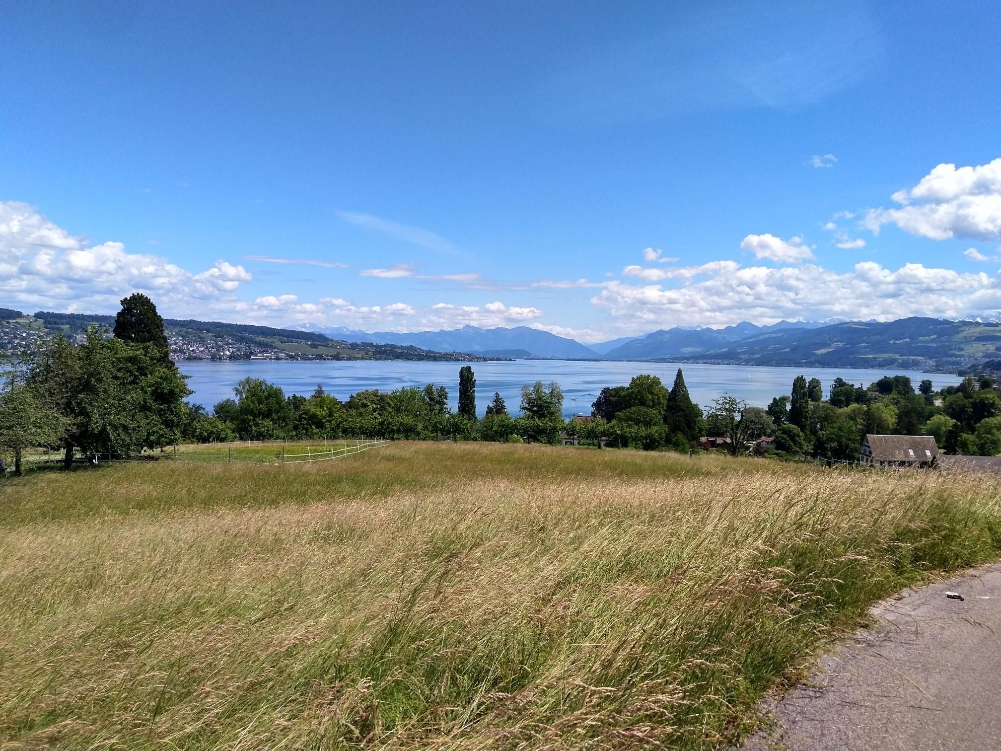
Lake Zurich loop – A land of contrasts
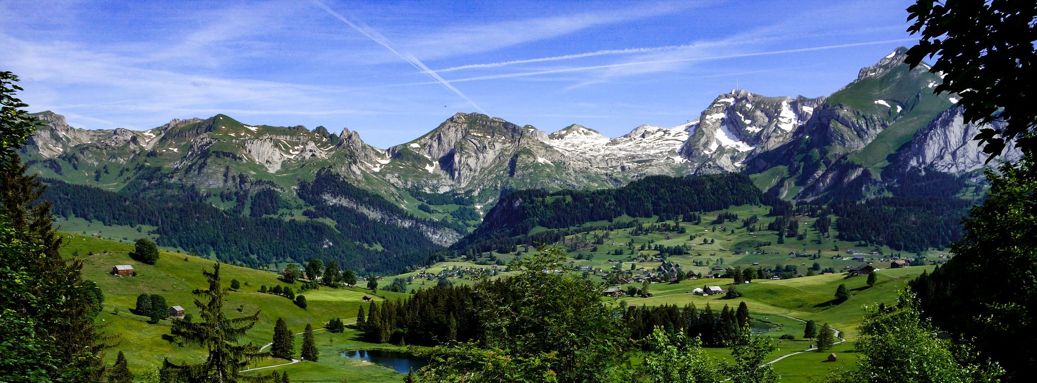
Toggenburger Höhenweg – Demanding hiking near St. Gallen
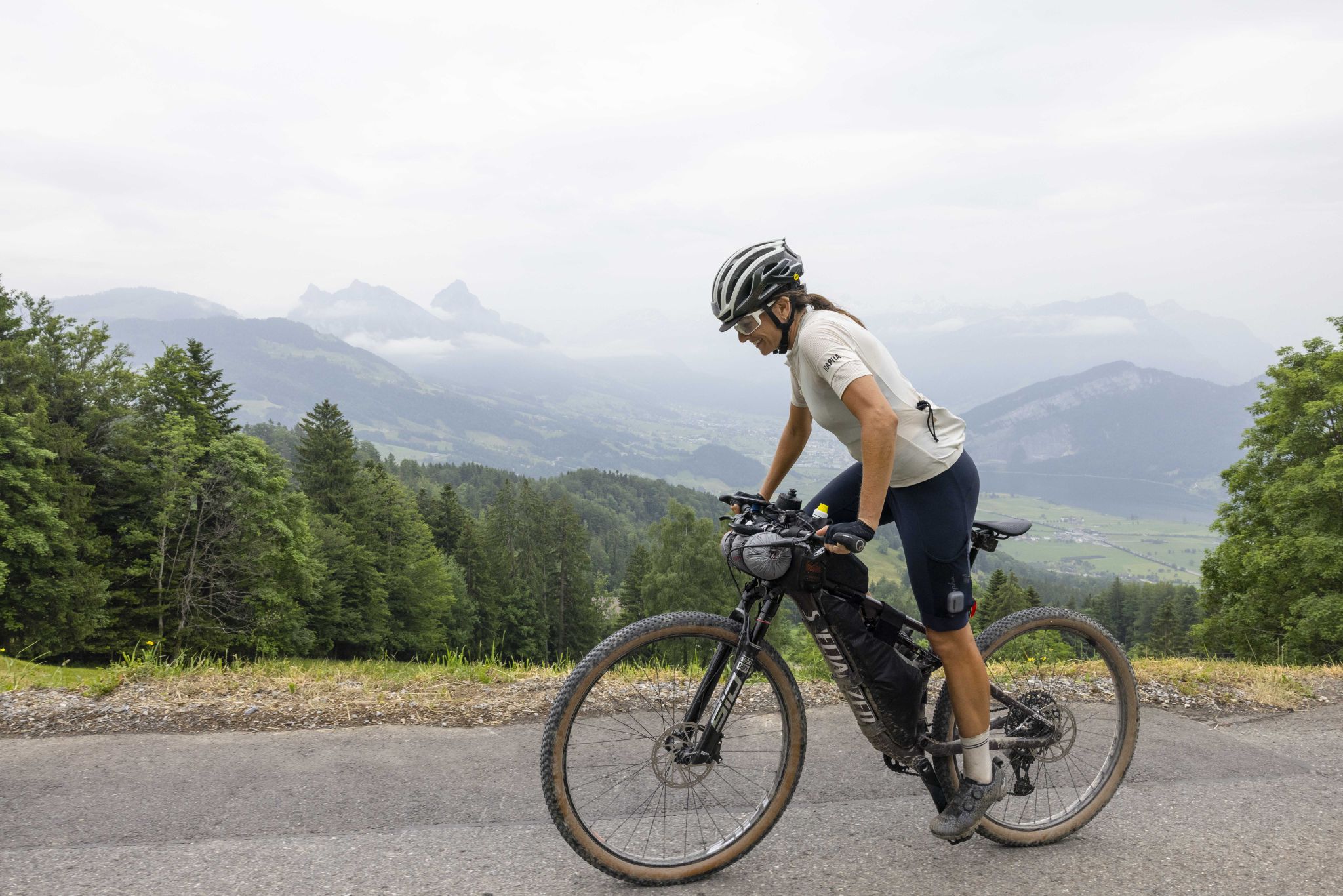
Hope 1000 – Bikepacking Switzerland in 11 stages
Other adventures in St. Gallen


Tips from the Community

pretty here, very pretty
0
0

Quite steep gorge. Sure-footedness and endurance required. And actually nothing for the bike.
0
0

The Saxer Lücke (approx. 1,670 m above sea level) is a striking rocky notch in the Alpstein between the cantons of Appenzell Innerrhoden and St. Gallen. It is one of the best-known viewpoints in Eastern Switzerland and offers a spectacular view of the jagged rock peaks, the Rhine Valley, and the Vorarlberg Alps. The Saxer Lücke is accessible via well-maintained mountain hiking trails, including from the Staubern mountain inn or from Frümsel. The traverse between Staubern and Hohen Kasten is particularly popular. In summer, the impressive landscape and alpine flora are a draw, while in autumn, seas of fog in the Rhine Valley often create unforgettable panoramas.
6
1

Anyone stopping here had to do something for it. The path from Murg is partly extremely steep.
0
0
Frequently Asked Questions
How many mountaineering routes are available in the St. Gallen region?
The St. Gallen region offers a wide array of mountaineering experiences, with over 80 routes documented on komoot. These routes cater to various skill levels, from moderate ascents to challenging multi-pitch climbs, primarily within the dramatic Alpstein mountain range.
What kind of terrain can I expect on mountaineering routes in St. Gallen?
Mountaineering in St. Gallen is characterized by the rugged alpine terrain and dramatic limestone walls of the Alpstein mountain range. You'll encounter significant elevation gains, exposed sections, and a dense network of trails, often leading to panoramic viewpoints and picturesque alpine lakes like Seealpsee and Fählensee.
Are there any family-friendly mountaineering options in St. Gallen?
While many mountaineering routes in St. Gallen are challenging, some areas offer more moderate trails suitable for families with older children or those looking for less strenuous options. For instance, areas around Ebenalp provide moderately challenging trails that can be enjoyed by families, leading to attractions like the Wildkirchli caves.
Can I bring my dog on mountaineering routes in St. Gallen?
Many trails in the St. Gallen region are dog-friendly, but it's crucial to check specific route details and local regulations before heading out. Always keep your dog on a leash, especially in alpine areas where livestock may be present, and ensure they are physically capable of handling the terrain and duration of the chosen route.
What are some notable viewpoints or landmarks I can visit during a mountaineering tour?
The St. Gallen region is rich with stunning viewpoints and landmarks. You can reach the Hoher Kasten Summit via cable car for magnificent views, or challenge yourself to the Säntis Summit (2,502 m), which offers panoramic vistas across the Alps and Lake Constance. The Saxer Lücke is another iconic mountain pass offering breathtaking scenery.
Are there any circular mountaineering routes in St. Gallen?
Yes, St. Gallen offers several excellent circular mountaineering routes. One challenging option is the Jöchliturm – Altmann Summit loop from Wildhaus, which provides extensive views of the Alpstein range. Another popular choice is the Guggli Bridge – Murgsee loop from Bachlaui, exploring beautiful alpine landscapes.
What is the best time of year for mountaineering in St. Gallen?
The best time for mountaineering in St. Gallen is typically from late spring to early autumn (June to October), when the trails are generally free of snow and weather conditions are more stable. However, always check current weather forecasts and trail conditions, especially for higher alpine routes, as snow can persist at higher elevations.
Are there any routes that include via ferrata sections?
Yes, for those seeking an extra thrill, the St. Gallen region offers routes with via ferrata sections. A notable example is the Speer Via Ferrata – Speer Summit loop from Speer, which leads through exposed rock faces and includes a via ferrata, offering a challenging and exhilarating experience.
What are the options for public transport and parking near mountaineering routes?
Many starting points for mountaineering routes in St. Gallen are accessible by public transport, particularly cable cars that take you to higher elevations, such as those for Säntis or Hoher Kasten. For routes starting in valleys, public bus services often connect to train stations. Parking is generally available at popular trailheads and cable car stations, though it might be limited during peak season.
Where can I find accommodation or places to eat along the trails?
The Alpstein region, a core area for mountaineering in St. Gallen, features numerous mountain inns and huts. These include the famous Berggasthaus Aescher, Schäfler mountain inn, Zwinglipass Hut, and Staubern mountain inn, which offer accommodation and refreshments, making them ideal for multi-day excursions or a well-deserved break.
What do other mountaineers say about the routes in St. Gallen?
The mountaineering routes in St. Gallen are highly regarded by the komoot community, boasting an average rating of 4.8 stars from over 100 reviews. Mountaineers frequently praise the dramatic scenery, the challenging yet rewarding ascents, and the well-maintained trails that lead to breathtaking panoramic views.
Are there any routes that explore alpine lakes?
Absolutely! The Alpstein range is home to picturesque alpine lakes that are popular destinations for mountaineers. The Wildsee – Schotten Lake loop from Pizolhütte is a fantastic route that explores the high-altitude terrain and beautiful alpine lakes around Pizolhütte, offering stunning natural beauty.
Are there any permits required for mountaineering in St. Gallen?
Generally, no specific permits are required for hiking or mountaineering on marked trails in the St. Gallen region. However, if you plan to engage in specific activities like multi-pitch climbing in certain areas, it's always advisable to check with local alpine clubs or tourist information centers for any specific regulations or access restrictions.
Most popular routes in St. Gallen
Most popular attractions in St. Gallen

Get inspired with the komoot mobile app


Didn’t find what you were looking for?
Check out more Mountain Hikes & Routes throughout St. Gallen below and find the perfect route in your destination.
Explore more
Browse the best Mountain Hikes & Routes in other regions.
