The best mountain hikes around Au (SG)
4.9
(41)
366
hikers
17
hikes
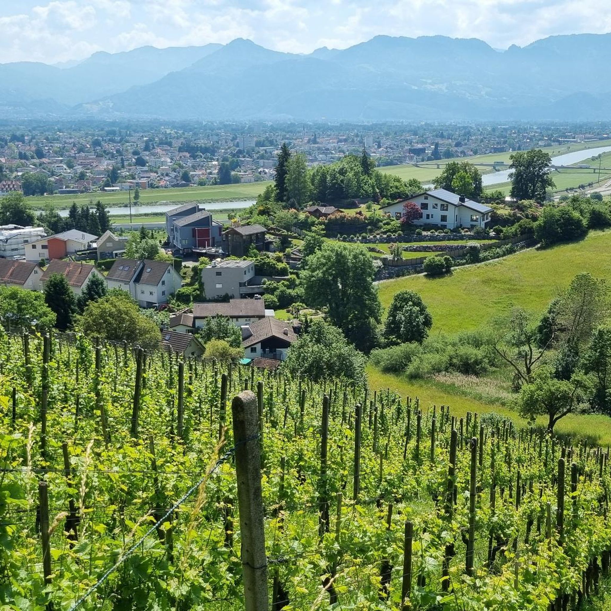
Mountaineering routes around Au (SG) are situated in the Wahlkreis Rheintal, characterized by its alpine foothills, river valleys, and forested slopes. The landscape features significant elevation changes, offering challenging ascents and descents through varied terrain. This region provides a mix of open ridges and paths winding through dense woodlands, typical of the St. Gallen area.
Best mountaineering routes around Au (SG)
- The most popular mountaineering route is Staufenspitze loop from Dornbirn, a 8.4 miles (13.5 km) trail that takes…
Last updated: October 10, 2026
5.0
(1)
51
hikers
6.93km
02:41
500m
500m
Moderate mountaineering route. Good fitness required. Mostly accessible paths. Sure-footedness required.
4.0
(1)
42
hikers
Hard mountaineering route. Very good fitness required. Sure-footedness, sturdy shoes and alpine experience required.

5.0
(9)
35
hikers
13.0km
04:32
610m
610m
Hard mountaineering route. Good fitness required. Sure-footedness, sturdy shoes and alpine experience required.
5.0
(6)
18
hikers
16.7km
07:31
1,240m
1,240m
Hard mountaineering route. Very good fitness required. Sure-footedness, sturdy shoes and alpine experience required.
5.0
(1)
17
hikers
10.9km
04:10
630m
630m
Hard mountaineering route. Good fitness required. Sure-footedness, sturdy shoes and alpine experience required.
Get access to more routes and recommendations from other explorers.
Already have an account?
Our route recommendations are based on thousands of hikes, rides, and runs completed by other people on komoot.
Start today with a free account
Your next adventure awaits.
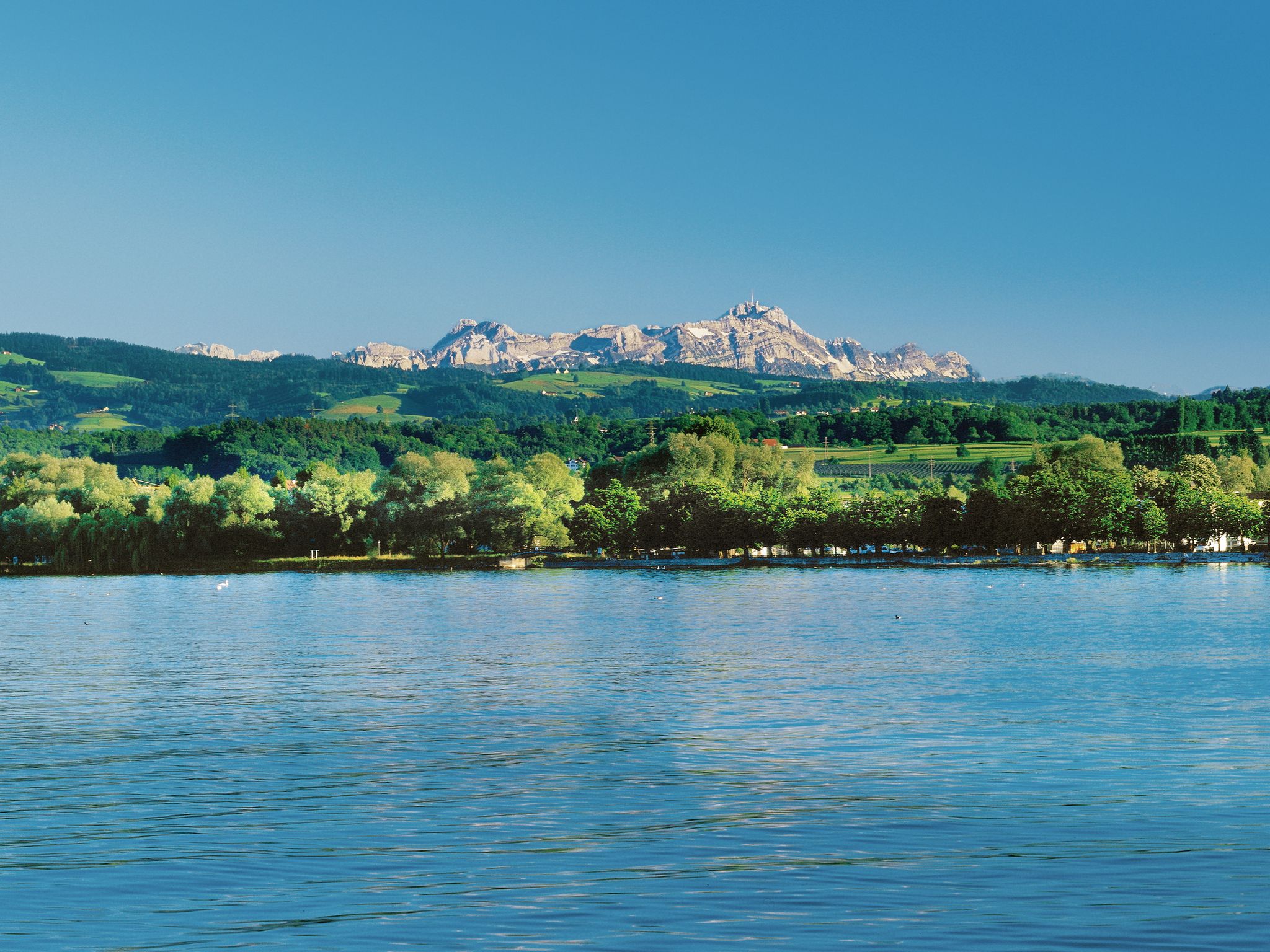
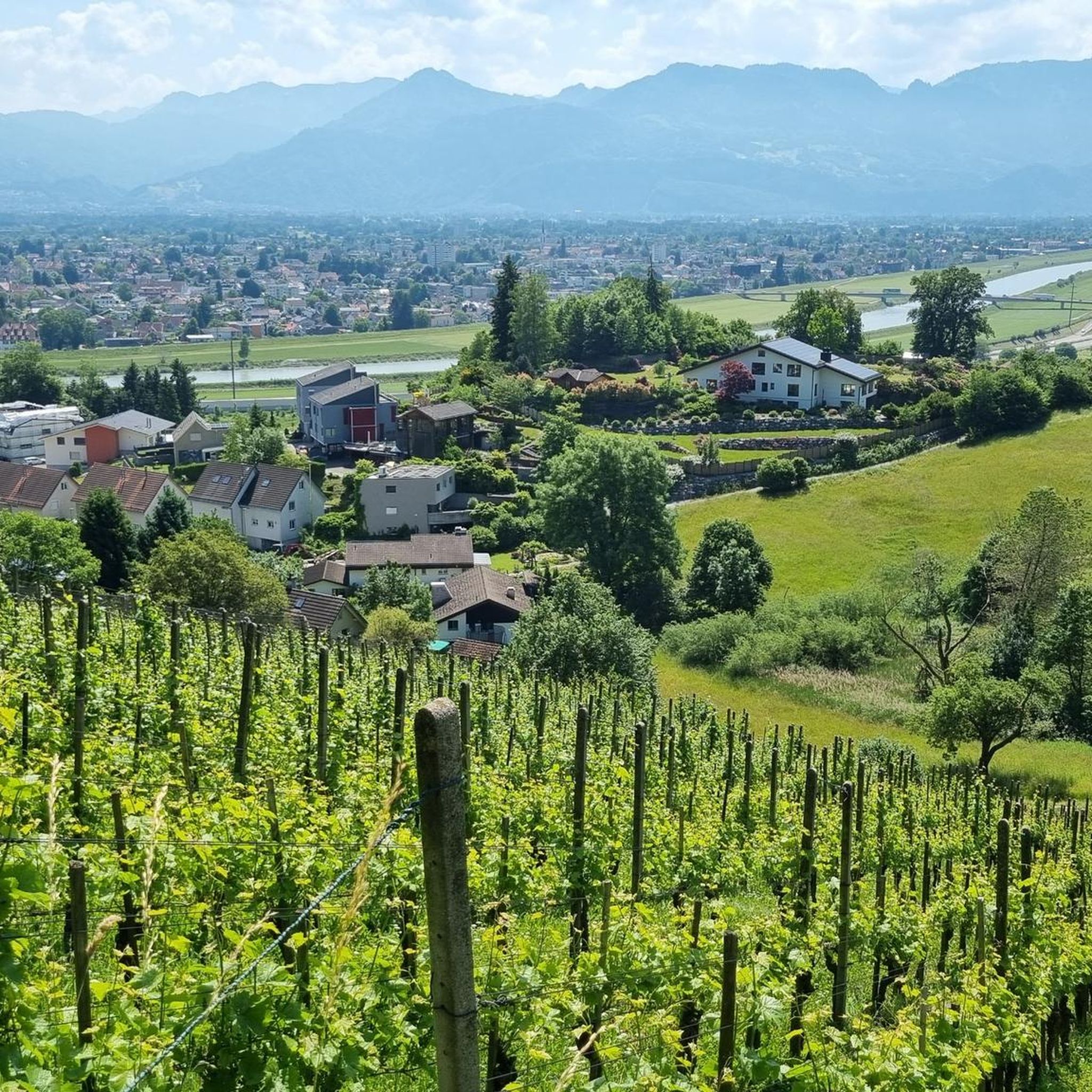
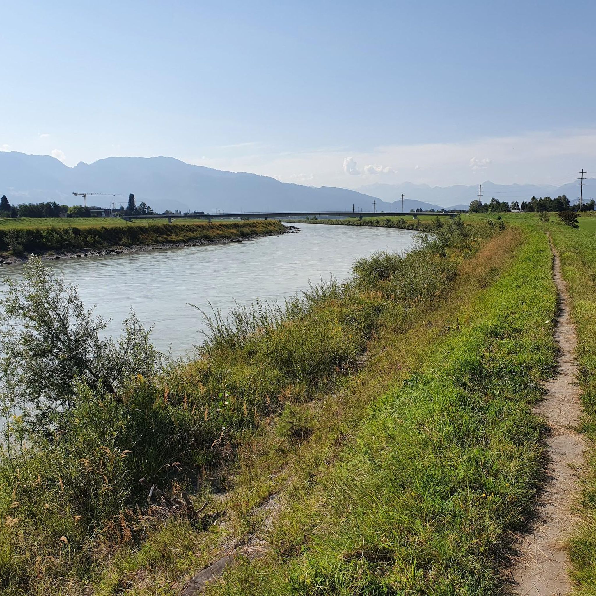
Other adventures around Au (SG)

Tips from the Community

It is beautiful here
1
0

The giant sequoia in Gütle is one of Dornbirn's best-known natural attractions and an ideal starting point for the hike through the Rappenloch and Alploch gorges. At around 57 meters high, it is considered the tallest giant sequoia in Austria. 🌱 It was planted in 1899, presumably as part of the Gütle's development by the industrialist family Hämmerle. 🌳 The trunk circumference is now over 7 meters (depending on the measuring height), and the tree continues to grow.
7
0

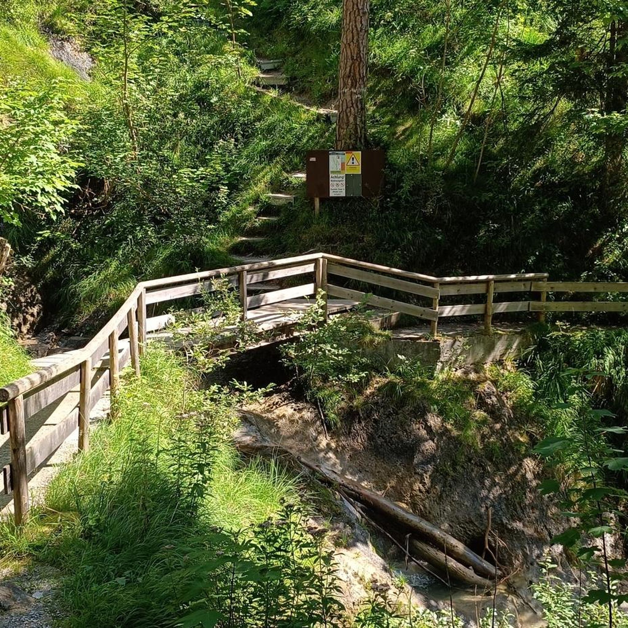
Even though the sign above plus the marking on the trees say it is a red-white trail, this is definitely a blue-white trail (down at the Staufenalpe there is also a blue-white sign). It leads steeply and rooty through the beautiful forest. It is not recommended downhill in snow and wet conditions, otherwise it is a beautiful trail.
0
0

At the moment the reservoir is quite empty and the water level is clear
0
0

The pipelines leading into the Rappen Gorge can be seen again and again along the path. It's interesting to see their dimensions and how they still withstand the elements.
2
0
What a wonderful opportunity to take a break right on the rock face and enjoy such magnificent views.
0
0

Under the modern Gütle Bridge there is a bench with a view of the Rappenloch Gorge.
1
0

a nice place to rest
1
0
Frequently Asked Questions
What kind of mountaineering routes can I expect around Au (SG)?
The mountaineering routes around Au (SG) are primarily characterized by significant elevation changes, offering challenging ascents and descents. You'll find a mix of open ridges and paths winding through dense woodlands, typical of the St. Gallen area's alpine foothills and river valleys. The region features 5 moderate and 14 difficult routes.
Are there any easy mountaineering routes suitable for beginners in Au (SG)?
While there are no routes specifically classified as 'easy' for mountaineering in Au (SG), there are 5 routes considered 'moderate'. These might be suitable for beginners with a good level of fitness and some prior hiking experience. For example, the Mountaineering loop from Dornbirn is a moderate option.
What are some challenging mountaineering routes in the Au (SG) area?
For experienced mountaineers seeking a challenge, Au (SG) offers 14 difficult routes. A notable option is the Bepposteig – Emsbach Trail loop from Hohenems, which covers over 10 km with significant elevation gain.
Are there any circular mountaineering routes around Au (SG)?
Yes, many of the mountaineering routes in the area are circular. For instance, the Staufenspitze loop from Dornbirn and the Dornbirner Ache – Staufensee loop from Dornbirn are popular circular options that allow you to start and end at the same point.
What is the best time of year for mountaineering in Au (SG)?
The best time for mountaineering in Au (SG) is typically during the warmer months, from late spring to early autumn (May to October), when trails are generally free of snow and weather conditions are more stable. Always check local weather forecasts and trail conditions before heading out, especially for higher elevations.
Where can I find parking or trailheads for mountaineering routes near Au (SG)?
A convenient starting point with parking is the Schuttannen Parking and Trailhead. Many routes also start from towns like Dornbirn or Hohenems, where public parking facilities are available.
What kind of attractions or points of interest can I find along the mountaineering routes?
Along the routes, you can discover various points of interest. For example, the Emser Hut offers a place to rest, and the Kaienspitz Summit Grill and Picnic Area provides stunning views. You might also encounter natural features like the Staufensee, which is part of the Dornbirner Ache – Staufensee loop.
Are there any huts or restaurants near the mountaineering trails for refreshments?
Yes, you'll find options for refreshments. The Emser Hut and Gsohl Alpe are available for a break. Additionally, the Millrütte Restaurant is another spot where you can enjoy a meal or a drink after your hike.
What do other mountaineers enjoy most about the routes in Au (SG)?
The mountaineering routes in Au (SG) are highly rated by the komoot community, with an average score of 4.9 stars. Reviewers often praise the varied terrain, from river valleys to dense woodlands and alpine ascents, as well as the panoramic views from summits like Hohe Kugel.
Are there any specific recommendations for what to wear or bring for mountaineering in Au (SG)?
Given the significant elevation changes and varied terrain, it's essential to wear sturdy, waterproof hiking boots with good ankle support. Layered clothing is recommended to adapt to changing weather conditions, and always carry sufficient water, snacks, a map or GPS, and sun protection. Trekking poles can also be beneficial on steeper sections.
Can I reach the mountaineering trailheads in Au (SG) using public transport?
Au (SG) and nearby towns like Dornbirn and Hohenems are generally well-connected by public transport within the region. You can often reach trailheads or starting points for routes via local bus services or regional trains. It's advisable to check specific connections to your chosen trailhead using local transport schedules.
Most popular routes around Au (SG)
Most popular attractions around Au (SG)

Get inspired with the komoot mobile app


Explore more
Browse the best Mountain Hikes & Routes in other regions.
