The best mountain hikes around Oberriet
4.8
(177)
1,380
hikers
77
hikes
Mountaineering routes around Oberriet traverse the picturesque Rhine Valley, offering diverse landscapes from lush forests and green meadows to challenging alpine terrain. The region is characterized by significant peaks such as Hoher Kasten, Fähnerenspitz, and Hohe Kugel, providing panoramic views over the valley and towards Lake Constance. Alpine lakes like Fälensee and Seealpsee enhance the scenic beauty of many routes. This area provides a wide spectrum of mountaineering opportunities, from moderate ascents to difficult alpine trails.
Best mountaineering routes around…
Last updated: July 7, 2026
4.9
(8)
56
hikers
18.6km
07:17
1,050m
1,050m
Hard mountaineering route. Very good fitness required. Sure-footedness, sturdy shoes and alpine experience required.
27
hikers
12.3km
04:50
830m
830m
Moderate mountaineering route. Good fitness required. Mostly accessible paths. Sure-footedness required.

Sign up for free
5.0
(6)
16
hikers
16.7km
07:38
1,230m
1,230m
Hard mountaineering route. Very good fitness required. Sure-footedness, sturdy shoes and alpine experience required.
5.0
(1)
22
hikers
9.11km
04:25
820m
820m
Hard mountaineering route. Good fitness required. Sure-footedness, sturdy shoes and alpine experience required.
5.0
(2)
16
hikers
8.70km
04:20
740m
740m
Hard mountaineering route. Good fitness required. Sure-footedness, sturdy shoes and alpine experience required.
Get access to more routes and recommendations from other explorers.
Sign up for free
Already have an account?
Our route recommendations are based on thousands of hikes, rides, and runs completed by other people on komoot.
Start today with a free account
Your next adventure awaits.
Login or Signup

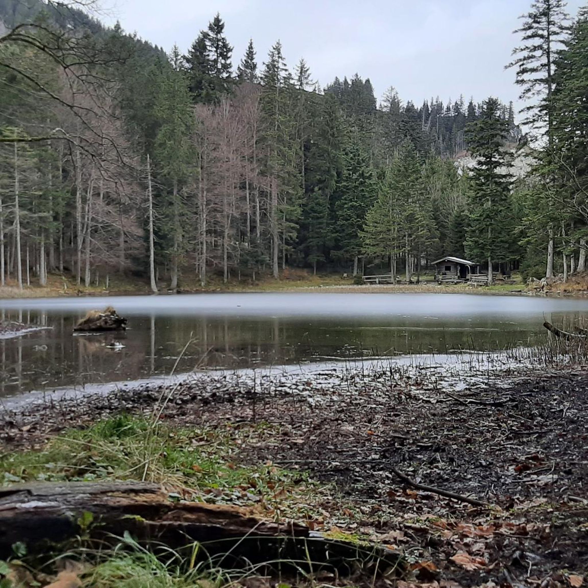
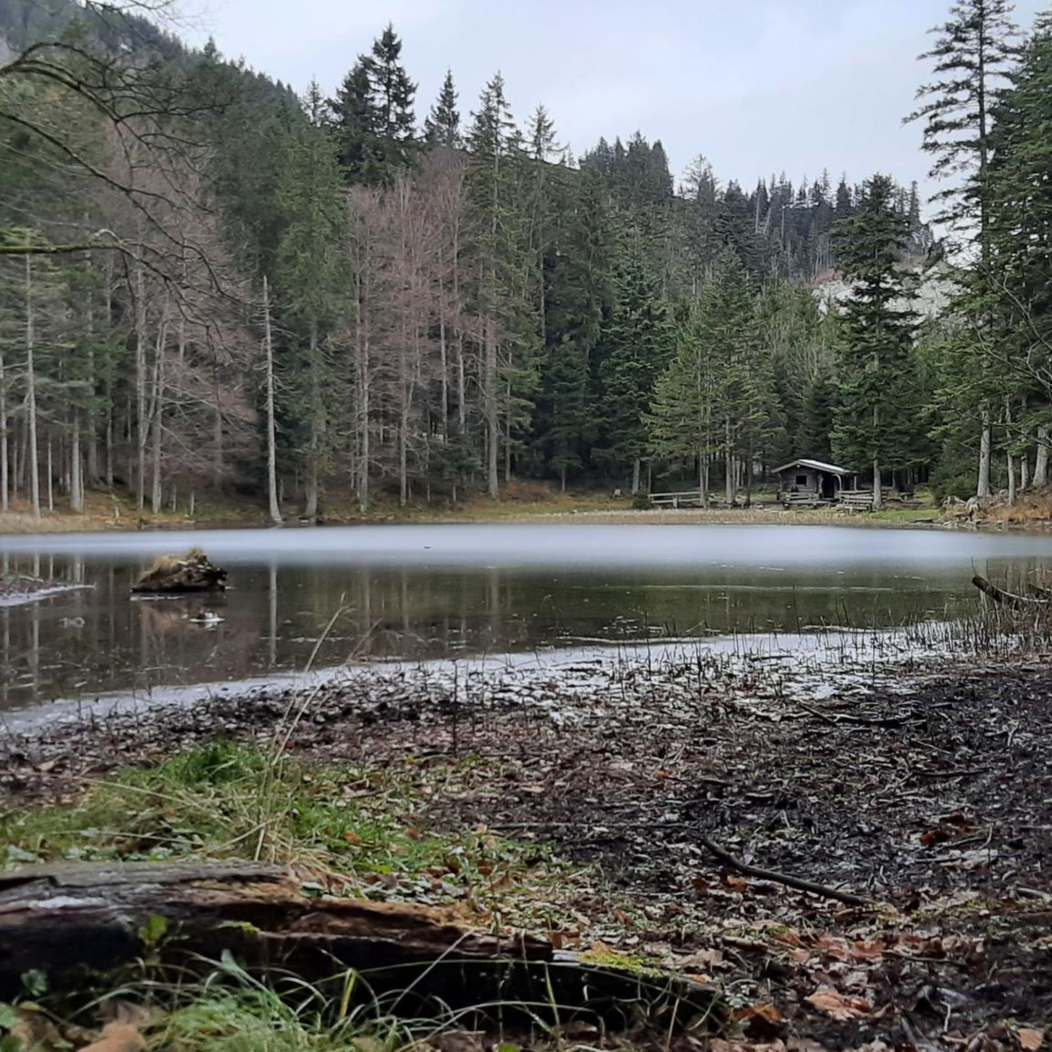
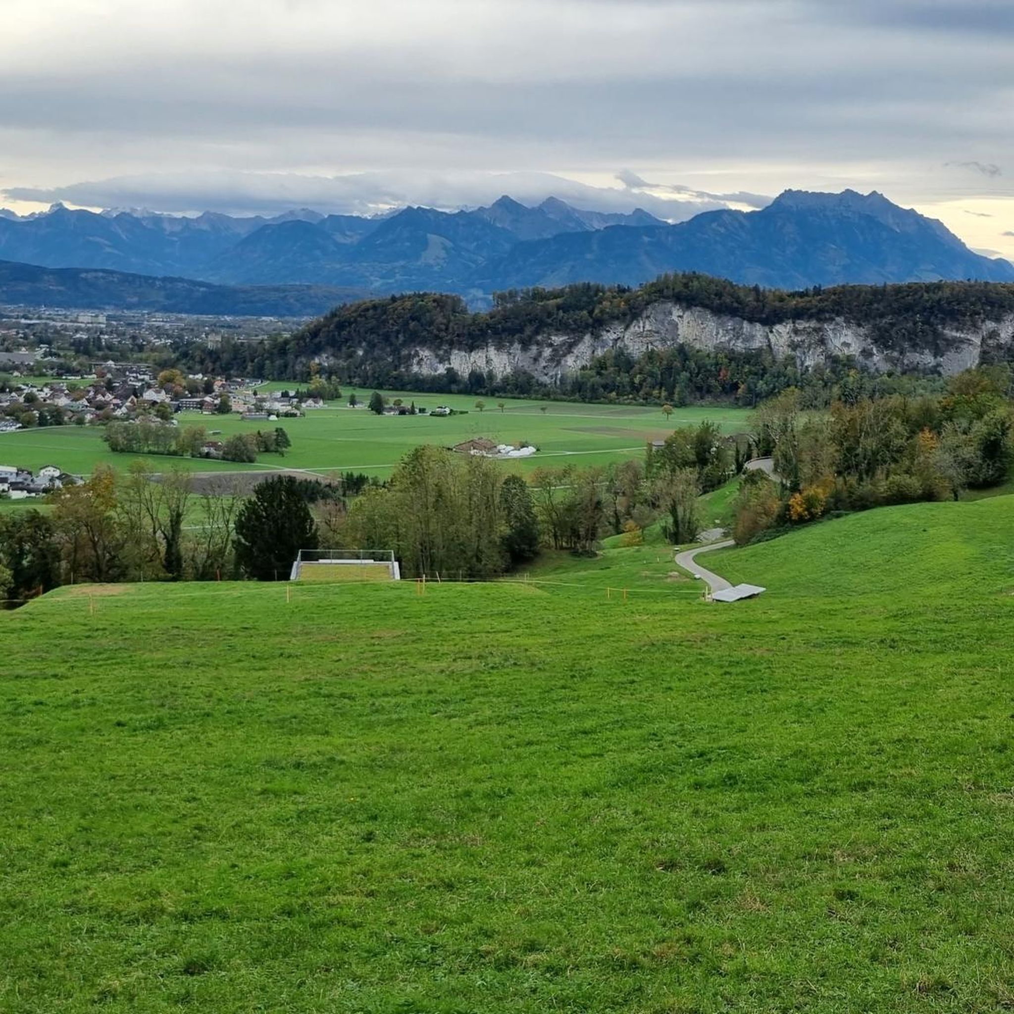
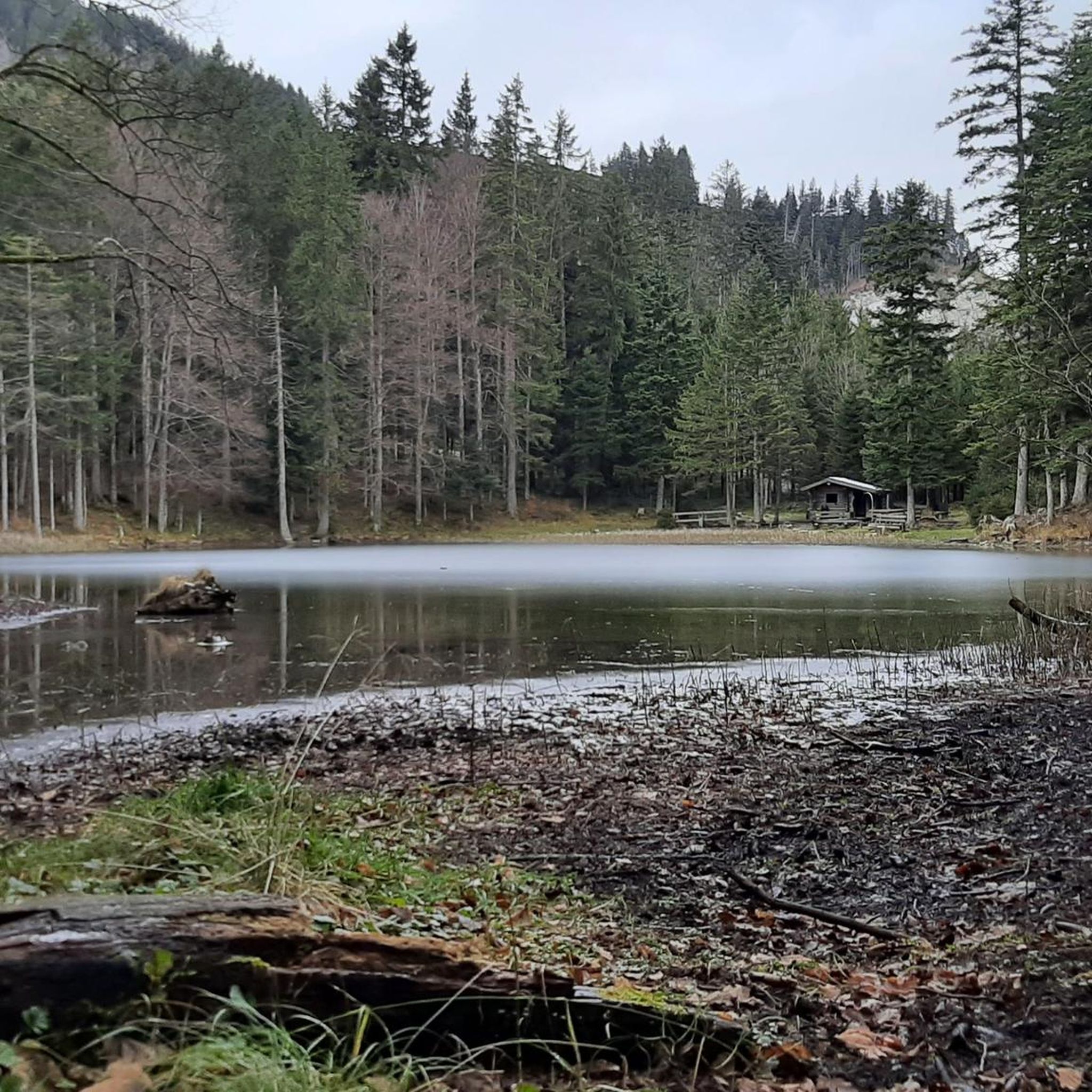
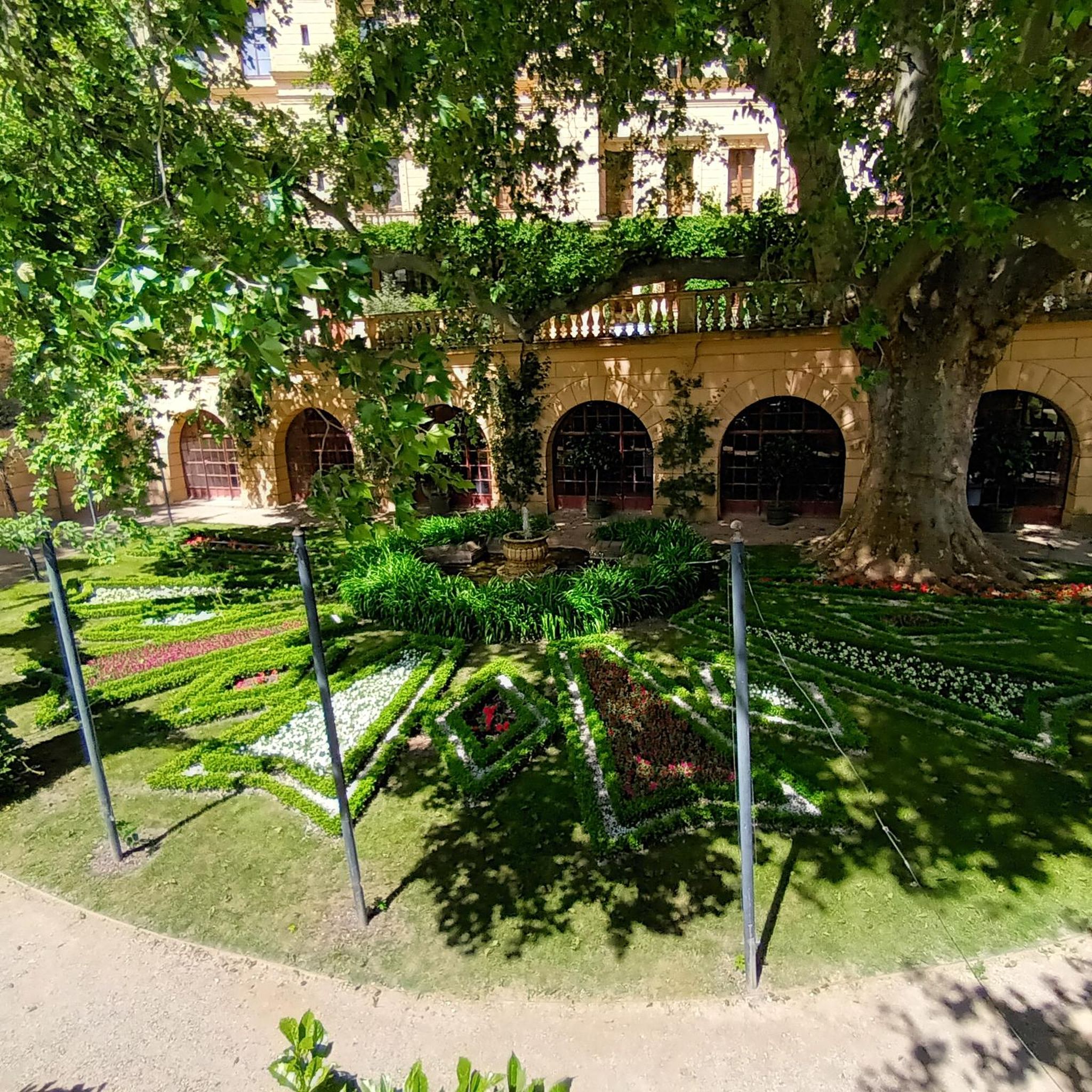
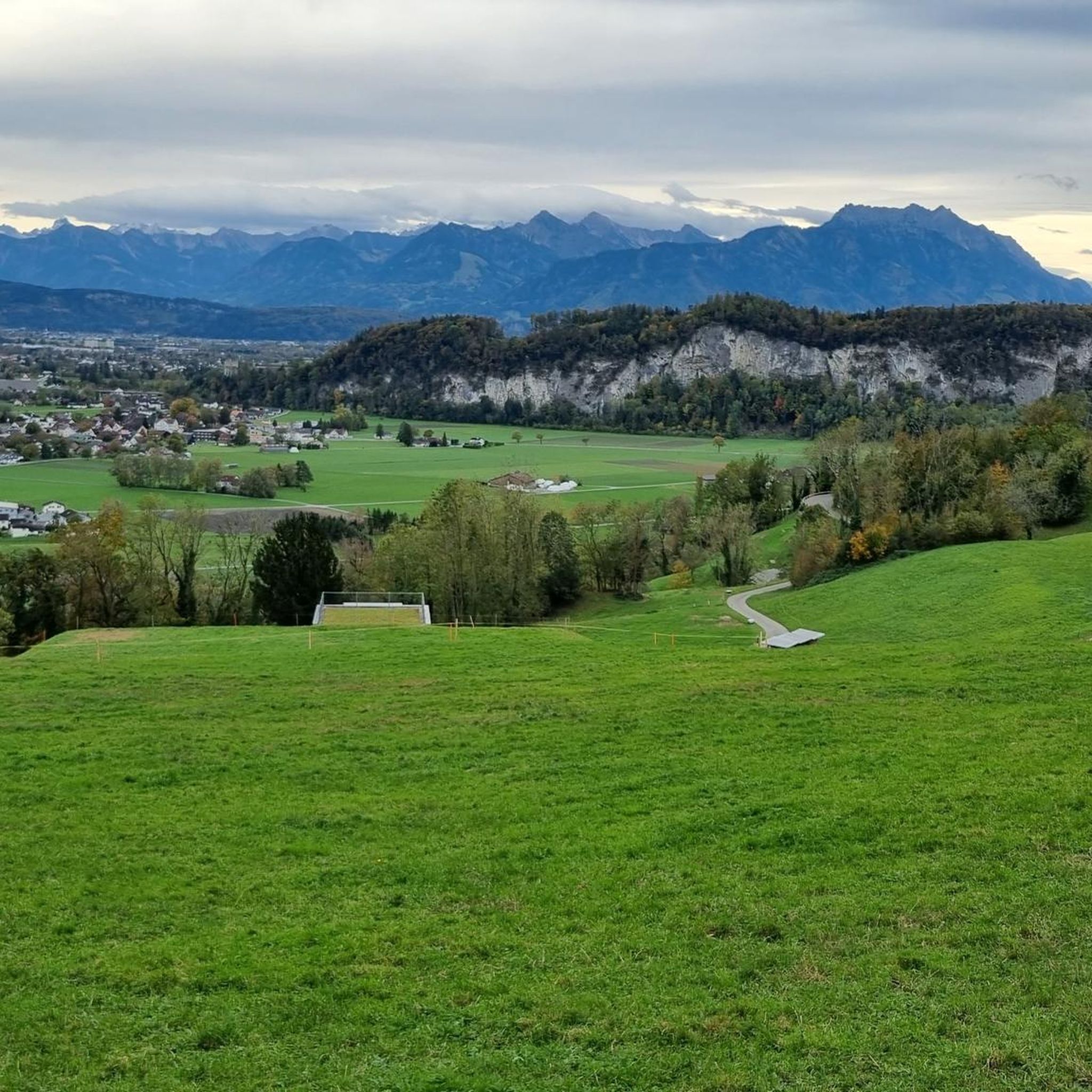
Other adventures around Oberriet

Tips from the Community

Bathroom was open even when the cable car wasn't running :)
0
0

The shortest route to the Hohen Kasten
0
0

There are no half-fare or GA travelcard discounts for cable car rides.
0
0


The climb up is a joy, easily managed thanks to the excellent protection.
3
0
On the way from the Schwende Valley to the Zahme Gocht, you can take a break here with a bench. From here, the climb is steep and steep.
0
0

Frequently Asked Questions
How many mountaineering routes are available around Oberriet?
There are over 80 mountaineering routes around Oberriet, offering a wide range of experiences from moderate ascents to challenging alpine trails. The komoot community has explored these routes over 1500 times.
Are there any easy mountaineering routes suitable for beginners in Oberriet?
While there are no routes classified as 'easy' for mountaineering, Oberriet offers 25 'moderate' routes that are suitable for those with some experience or good fitness. For example, the Kamor Summit loop from Rüte is a moderate option, covering 12.2 km and typically taking under 5 hours.
What kind of challenging mountaineering routes can I find in Oberriet?
Oberriet is home to 56 difficult mountaineering routes, perfect for experienced hikers seeking a challenge. A popular choice is the Bollenwees Mountain Inn – Staubern Mountain Inn loop from Hoher Kasten, a 17.6 km trail with significant elevation gain, offering expansive views from Hoher Kasten.
Are there any circular mountaineering routes in the Oberriet area?
Yes, many mountaineering routes around Oberriet are circular, allowing you to start and end at the same point. Examples include the Fälensee – Bollenwees Mountain Inn loop from Rüte, which features the stunning Fälensee, and the Hoher Kasten summit loop from Rüte.
What are some notable natural attractions or landmarks to see along the mountaineering routes?
The region boasts several stunning natural features. You can encounter beautiful alpine lakes like Fälensee and Seealpsee, and majestic peaks such as Hoher Kasten and Hohe Kugel. Some routes also pass by unique geological formations like the Kristallhöhle Kobelwald or the famous Wildkirchli Chapel carved into the rock.
Are there any historical sites or castles near the mountaineering trails?
Yes, the area around Oberriet has several historical sites. You might encounter ruins like Alt-Ems Castle Ruins or Grimmenstein Castle Ruins, which add a historical dimension to your mountaineering experience.
What do other mountaineers enjoy most about the routes in Oberriet?
The mountaineering routes in Oberriet are highly rated by the komoot community, with an average score of 4.8 stars. Reviewers often praise the breathtaking panoramic views, the diverse terrain including forests and meadows, and the stunning alpine lakes like Fälensee and Seealpsee.
What is the best time of year for mountaineering in Oberriet?
The best time for mountaineering in Oberriet is typically from late spring to early autumn (May to October), when trails are generally clear of snow and weather conditions are more stable. Always check local weather forecasts and trail conditions before heading out, especially for higher alpine routes.
Are there options for parking at the trailheads for mountaineering routes?
Many trailheads in the Oberriet region offer parking facilities, especially at popular starting points for routes leading to peaks like Hoher Kasten or from villages like Rüte. It's advisable to check specific route descriptions for detailed parking information.
Can I access mountaineering routes in Oberriet using public transport?
Yes, Oberriet and its surrounding areas are generally well-connected by public transport, making it possible to reach many trailheads without a car. Services like buses often connect to smaller villages which serve as starting points for various routes. Planning your journey in advance with local transport schedules is recommended.
Are there any routes that offer particularly scenic viewpoints over the Rhine Valley or Lake Constance?
Absolutely. Peaks like Hoher Kasten and Hohe Kugel are renowned for their panoramic vistas. Routes leading to these summits, such as the Hohe Kugel Summit (1,645 m) – Emser Hut loop from Hohenems, offer fantastic 360° views of the mountains, the Rhine Valley, and extending to Lake Constance.
Are there mountain huts or places to stay overnight along the mountaineering routes?
Yes, the region is part of the 'Mountaineering Villages' initiative, which includes excellent alpine infrastructure. You'll find mountain inns and huts, such as the Bollenwees Mountain Inn and Staubern Mountain Inn, which offer options for refreshments or even overnight stays, particularly along longer loop trails like the Bollenwees Mountain Inn – Staubern Mountain Inn loop from Hoher Kasten. Hoher Kasten itself also provides an overnight stay option.
Most popular routes around Oberriet
Most popular attractions around Oberriet

Get inspired with the komoot mobile app


Explore more
Browse the best Mountain Hikes & Routes in other regions.
