The best mountain hikes around Pfäfers
4.8
(59)
590
hikers
21
hikes
Mountaineering routes Pfäfers are characterized by the dramatic landscapes of the Swiss canton of St. Gallen, featuring deep gorges, high alpine peaks, and thermal springs. The region is dominated by the Pizol Massif, offering challenging ascents and panoramic views, alongside the impressive Tamina Gorge carved by the Tamina River. Diverse valleys and alpine lakes provide varied terrain for exploration, ranging from strenuous mountain tours to paths through wild streams and waterfalls.
Best mountaineering routes around Pfäfers
- The most popular mountaineering…
Last updated: October 10, 2026
4.9
(25)
229
hikers
9.24km
05:53
890m
890m
Hard mountaineering route. Very good fitness required. Sure-footedness, sturdy shoes and alpine experience required.
5.0
(3)
31
hikers
11.3km
05:39
710m
710m
Hard mountaineering route. Very good fitness required. Sure-footedness, sturdy shoes and alpine experience required.

25
hikers
12.9km
06:56
1,020m
1,020m
Hard mountaineering route. Very good fitness required. Sure-footedness, sturdy shoes and alpine experience required.
15
hikers
14.9km
07:16
1,270m
1,270m
Hard mountaineering route. Very good fitness required. Sure-footedness, sturdy shoes and alpine experience required.
5.0
(2)
15
hikers
11.0km
03:58
590m
590m
Hard mountaineering route. Good fitness required. Sure-footedness, sturdy shoes and alpine experience required.
Get access to more routes and recommendations from other explorers.
Already have an account?
Our route recommendations are based on thousands of hikes, rides, and runs completed by other people on komoot.
Start today with a free account
Your next adventure awaits.
Popular around Pfäfers

Sardona World Heritage Trail – Where the Alps once formed

Lake and Alps Adventure – explore 100 dreamy places in our cycling region!
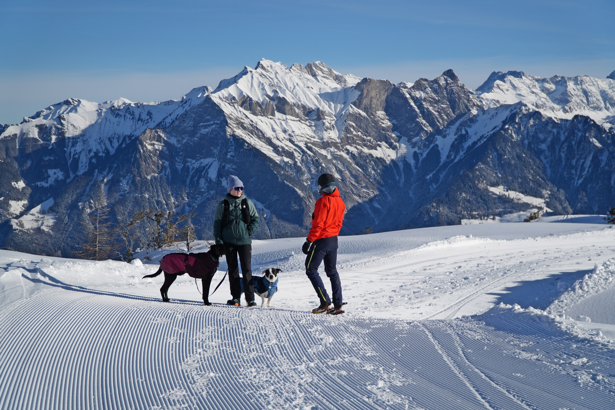
Enchanting winter hikes with dogs in Eastern Switzerland
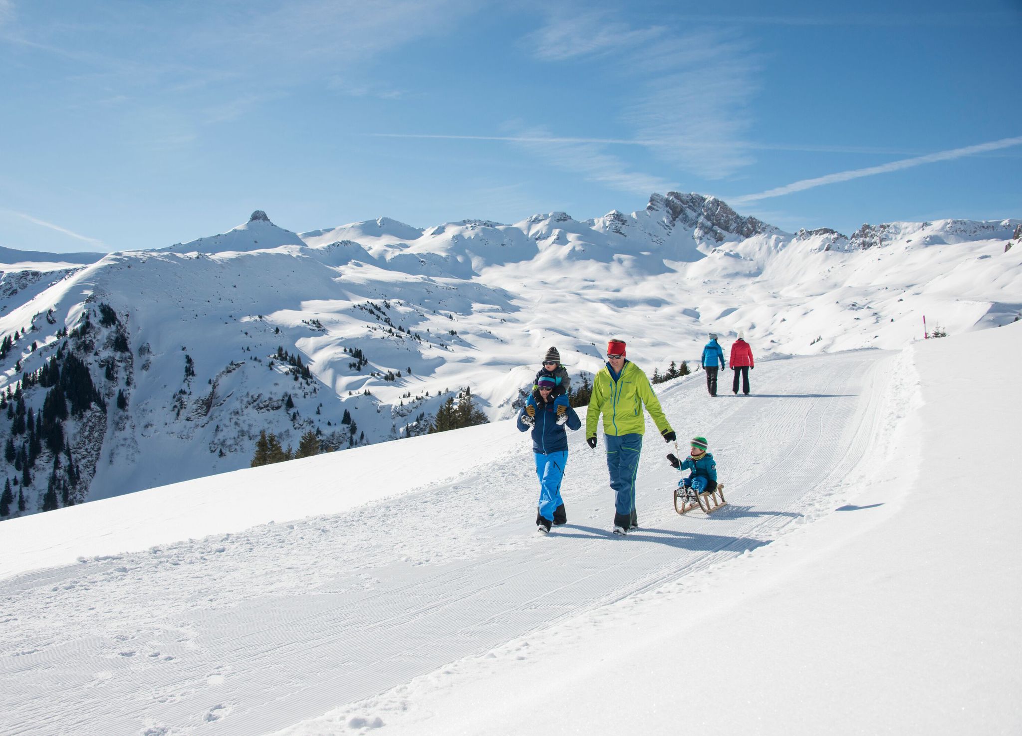
Family-friendly winter hikes in Eastern Switzerland
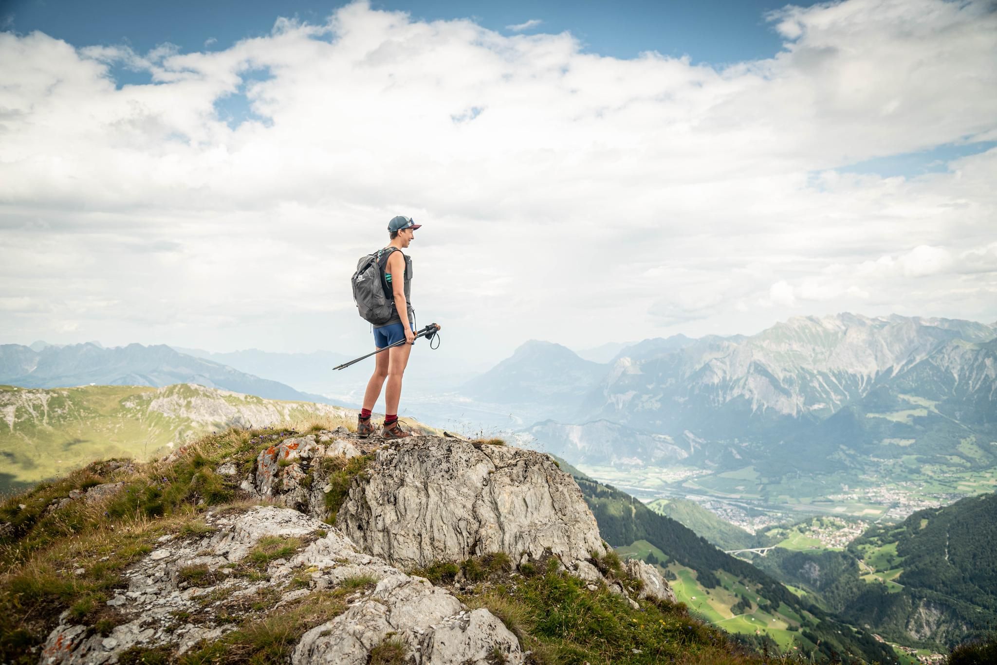
Peak bagging hikes in Heidiland
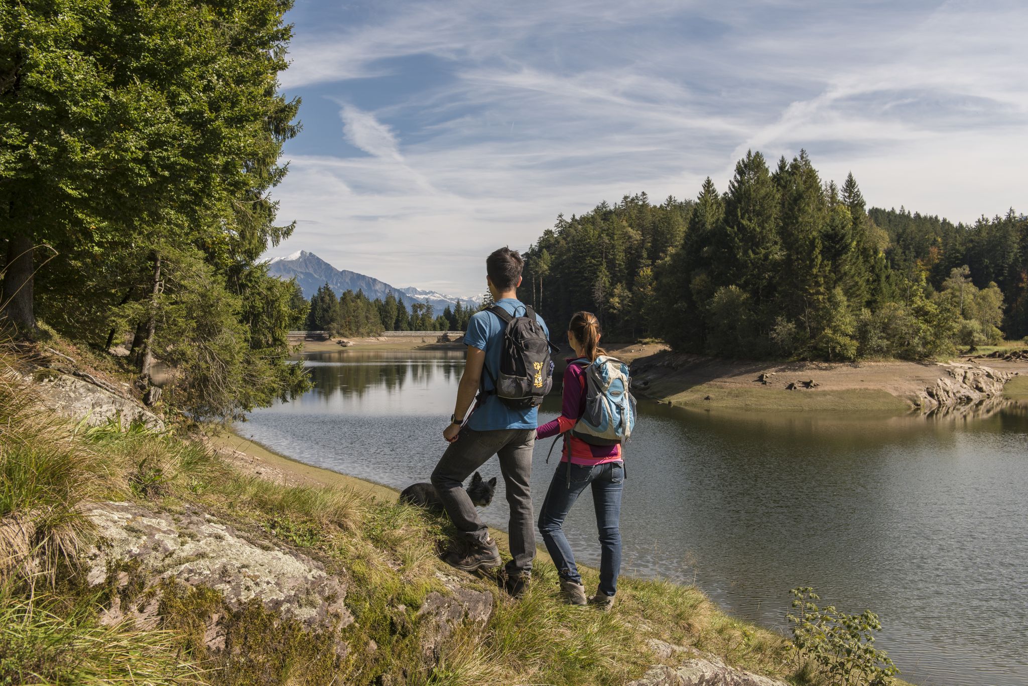
Summer in Eastern Switzerland – 10 hikes in Heidiland

Blue lakes, wide panoramas & autumnal splendour – hiking in Heidiland
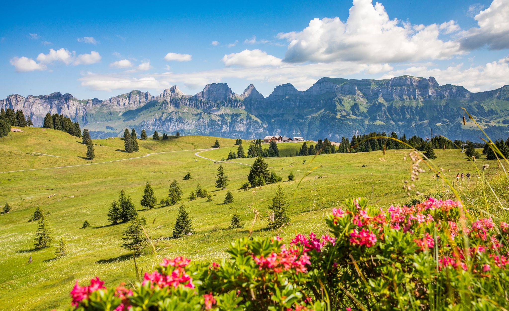
Pure Swiss mountain idyll – hikes in Heidiland
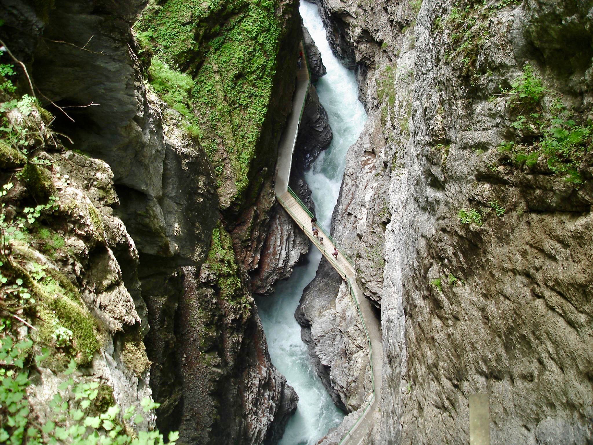
The most beautiful gorges of the Alps
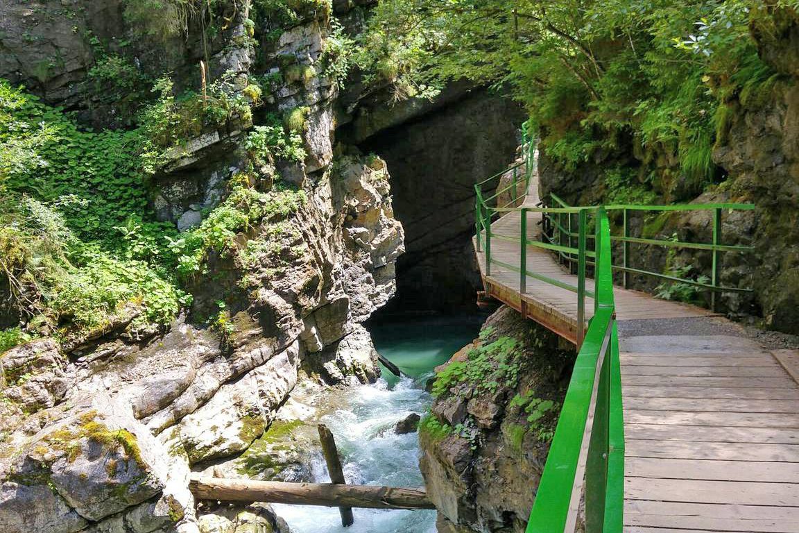
Wild gorges in southern Germany and northern Switzerland
Other adventures around Pfäfers


Tips from the Community

Somehow the town is pretty dead, passed through several times but haven't seen anyone other than other tourists.
0
0

The Gonzen is a mountain peak in the canton of St. Gallen, Switzerland, at 1,830 m above sea level. It stands at the southeastern end of the Alvier Group, north of Sargans, like a wedge between the Seez and Rhine valleys, both of which are at the same altitude, making it an exposed vantage point. To the north, the Gonzen extends into the plateau, which lies on the west side in front of the chain of peaks from the Gauschla to the Gamsberg, and is only 160 m above sea level, making it easily accessible. Source: Gonzen - Wikipedia https://share.google/evgmT6oDZQn6pwvRJ
7
1

Regitzer Spitz 1135 m above sea level, Fläsch At 1135 m above sea level, the Regitzer Spitz is the main peak of the Fläscherberg range in the Swiss canton of Graubünden. It is the westernmost spur of the Rätikon range. The mountain lies within the municipality of Fläsch, with the village located slightly south between Regitzer Spitz and the Rhine to the west. The northern foot of the Fläscherberg forms the state and national border with the Principality of Liechtenstein. The latter's territory on the Fläscherberg never reaches higher than 660 meters, which is only 200 meters above the valley floor near Balzers. Text / Source: Wikipedia https://de.wikipedia.org/wiki/Regitzer_Spitz
16
1
Sargans Castle is definitely worth a visit!
9
0
Pizolhütte at 2,222 m above sea level. The cozy Pizolhütte is located at 2,222 m above sea level and impresses with its wonderful view of the mountain panorama. The Pizolhütte is located on the high plateau of the Pizol ski and hiking area, on the Pizol Panorama Höhenweg, in the immediate vicinity of the Wangsersee and at the starting point of the famous 5-lake hike. Located directly at the mountain station of the chairlift of the same name, the hut is also the ideal starting point for fast ski runs. The Pizolhütte team will spoil you both inside and outside on the beautiful terrace with food and drink in new and well-known variations. Text / Source: Pizolbahnen AG, Loisstrasse 50, 7310 Bad Ragaz https://pizol.com/gastrobetriebe/pizolhuette/
4
1
Pizolhütte is located at 2,222 m above sea level. The cozy Pizolhütte is located at 2,222 m above sea level and impresses with its wonderful view of the mountain panorama. The Pizolhütte is located on the high plateau of the Pizol ski and hiking area, on the Pizol Panorama Höhenweg, in the immediate vicinity of Wangsersee and at the starting point of the famous 5-lake hike. Located directly at the mountain station of the chairlift of the same name, the hut is also the ideal starting point for fast ski runs. The Pizolhütte team will spoil you both inside and outside on the beautiful terrace with food and drink in new and well-known variations. Text / Source: Heidiland Tourism https://outdoor.heidiland.com/de/gastro/heidiland/bergrestaurant-pizolhuette/55301474/?utm_medium=referral&utm_source=embed&utm_campaign=embed-plugin-referral&utm_term=https%3A%2F%2Fpizol.com%2F
14
0

A very popular ski tour summit, although most people only go as far as the saddle. The ascent to the summit sometimes requires crampons and an ice axe, especially when the safety ropes are still covered in snow. When there is good snow to walk on, like today, you can do without. However, the path is exposed. Great view from the summit cross.
0
0

Coming from the Wildseelücke, first walk along the Wildsee. Be careful, it's quite rocky and the path isn't always easy to find. You should then complete this section quickly because there's a risk of falling rocks. The climb to the Hochwart is quite steep, but easy to walk.
0
0
Frequently Asked Questions
How many mountaineering routes are available around Pfäfers?
The Pfäfers region offers a diverse network of over 25 mountaineering routes. These range from moderate paths to challenging alpine ascents, catering to various experience levels.
Are there any beginner-friendly mountaineering routes in the Pfäfers area?
While many routes in Pfäfers are challenging, there are several moderate options available. For instance, the Valley View – Suspension Bridge loop from Weisstannen is a moderate 6.9-mile trail that offers varied terrain and takes about 5 hours to complete.
What are some challenging mountaineering routes for experienced hikers near Pfäfers?
Experienced mountaineers will find plenty of challenging routes. The Wildsee – Schotten Lake loop from Pizolhütte is a difficult 7.6-mile trail traversing the Pizol Massif, taking over 5 hours. Another demanding option is the Calanda Hut – Calanda Summit loop from Hintere Alp, a 13-kilometer route with significant elevation gain.
Are there circular mountaineering routes available in Pfäfers?
Yes, many mountaineering routes in Pfäfers are designed as loops, allowing you to start and end at the same point. Examples include the Pizolhütte Mountain Restaurant – Wildsee loop from Pizolhütte and the Wildsee – Schotten Lake loop from Pizolhütte, both offering stunning alpine scenery.
What natural attractions can I see along the mountaineering routes in Pfäfers?
The region is rich in natural wonders. You can explore the dramatic Tamina Gorge, known for its thermal springs, or witness the impressive Il Spir Viewing Platform – Rhine Gorge. Many routes also pass by beautiful alpine lakes, such as those on the Pizol Massif's famous 5-Lake Hike.
Are there any routes with spectacular viewpoints in the Pfäfers area?
Absolutely. The Pizol Massif offers breathtaking panoramic views, especially along routes like the Panorama High Trail. The Regitzer Spitz Viewpoint – View of Fläsch loop from Fläsch provides spectacular vistas over the St. Gallen and Chur Rhine Valley, Prättigau, and as far as Liechtenstein.
What is the best season for mountaineering in Pfäfers?
The best season for mountaineering in Pfäfers is typically from late spring to early autumn (June to October), when trails are generally free of snow and weather conditions are more stable. Higher alpine routes, especially on the Pizol Massif, are best enjoyed in mid-summer.
Are there any dog-friendly mountaineering trails near Pfäfers?
Many trails in the Pfäfers region are suitable for dogs, but it's always recommended to check specific route details for any restrictions or challenging sections that might not be ideal for pets. Always keep your dog on a leash, especially in nature protection areas or near grazing animals.
What do other mountaineers enjoy most about the routes in Pfäfers?
The mountaineering routes in Pfäfers are highly rated by the komoot community, with an average score of 4.8 stars from over 60 reviews. Reviewers often praise the dramatic landscapes, the stunning alpine lakes, and the challenging yet rewarding ascents that offer incredible panoramic views.
Are there any places to explore after a mountaineering trip in Pfäfers?
Yes, after your mountaineering adventure, you can visit the Tamina Gorge and the historic Old Bath Pfäfers, which houses museums and a restaurant. For relaxation, the thermal water from the gorge is piped to the Tamina Therme in Bad Ragaz, offering a perfect way to unwind.
Are there any less crowded mountaineering paths in Pfäfers?
While popular routes like the Pizol 5-Lake Hike can attract many visitors, exploring trails in the Calfeisen Valley or lesser-known paths around the Tamina Valley can offer a more tranquil experience. Routes like the Valley View – Suspension Bridge loop from Weisstannen might also provide a quieter alternative.
Most popular routes around Pfäfers
Most popular attractions around Pfäfers

Get inspired with the komoot mobile app


Explore more
Browse the best Mountain Hikes & Routes in other regions.
