The best running trails around Gommiswald
4.5
(101)
4,951
runners
317
runs
Jogging around Gommiswald offers diverse terrain, situated on a high ridge between the Linth and Regelstein valleys. This location provides varied elevations and a network of trails suitable for different running preferences. The landscape features a mix of forests, agricultural land, flower meadows, and alpine pastures, creating a constantly changing backdrop for runs. The region's natural environment supports both casual jogs and more demanding trail running experiences, with expansive vistas of the Linthebene and the upper Lake Zurich.
Best jogging…
Last updated: June 27, 2026
24
runners
12.3km
01:19
30m
30m
Moderate run. Good fitness required. Mostly paved surfaces. Suitable for all skill levels.
24
runners
5.32km
00:34
30m
30m
Moderate run. Good fitness required. Mostly paved surfaces. Suitable for all skill levels.

Sign up for free
12
runners
Hard run. Very good fitness required. Sure-footedness, sturdy shoes and alpine experience required.
4.0
(1)
9
runners
8.90km
01:21
490m
490m
Hard run. Very good fitness required. Mostly paved surfaces. Suitable for all skill levels.
5.0
(1)
10
runners
11.1km
01:10
80m
80m
Moderate run. Good fitness required. Mostly paved surfaces. Suitable for all skill levels.
Get access to more routes and recommendations from other explorers.
Sign up for free
Already have an account?
Our route recommendations are based on thousands of hikes, rides, and runs completed by other people on komoot.
Start today with a free account
Your next adventure awaits.
Login or Signup
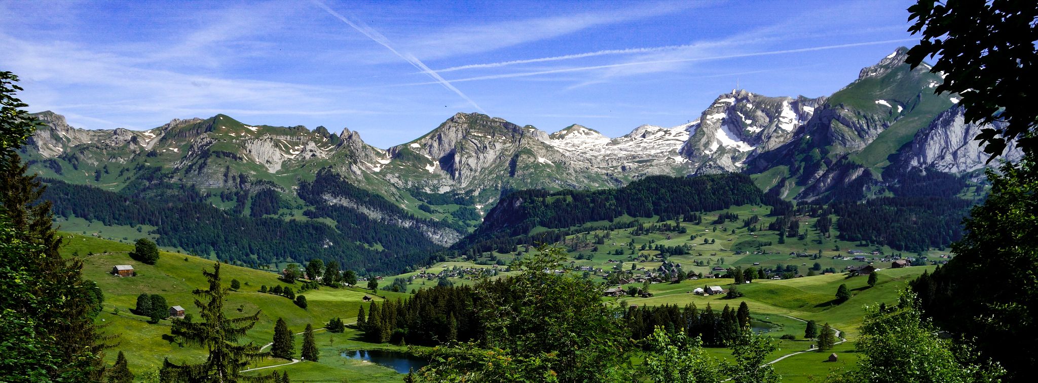
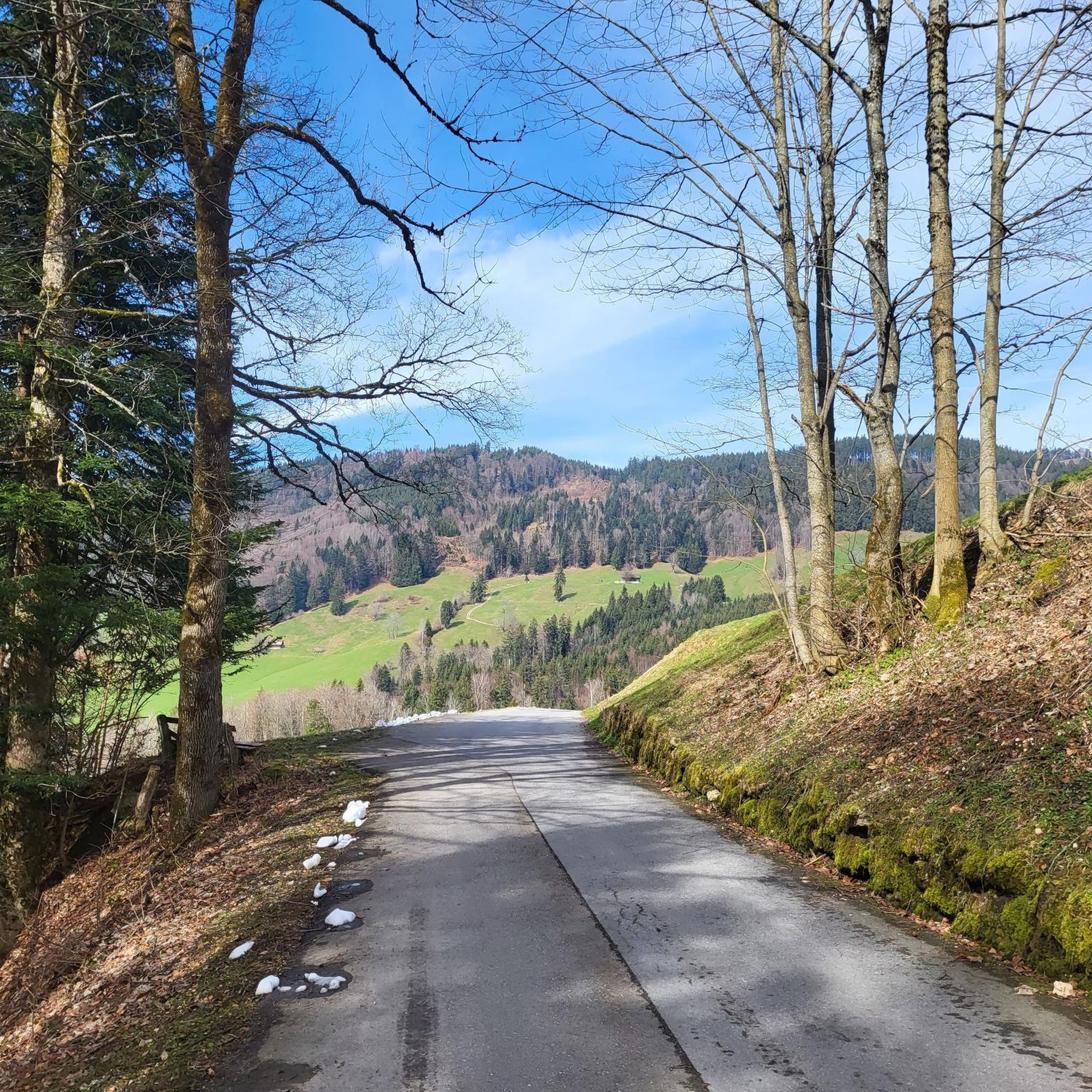
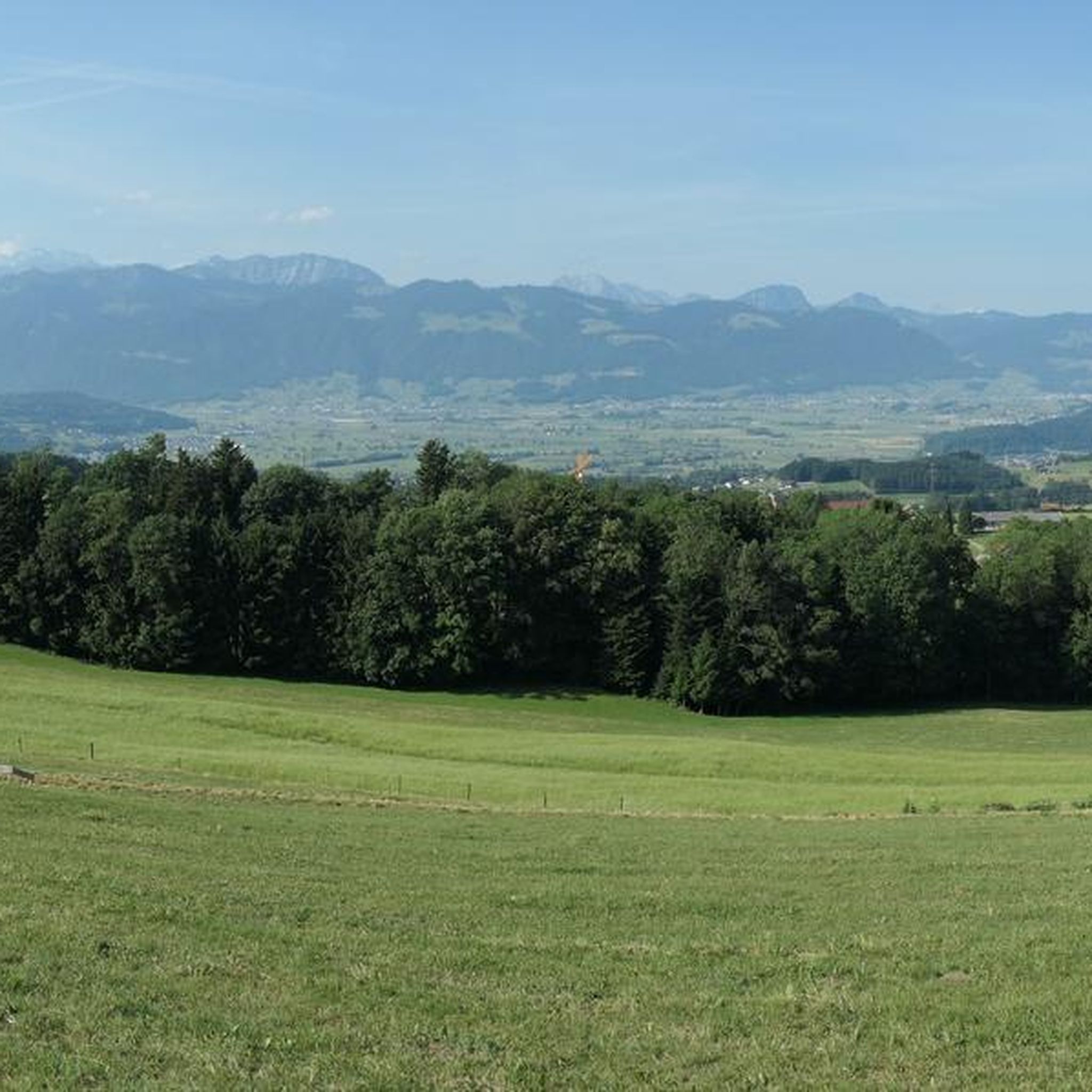
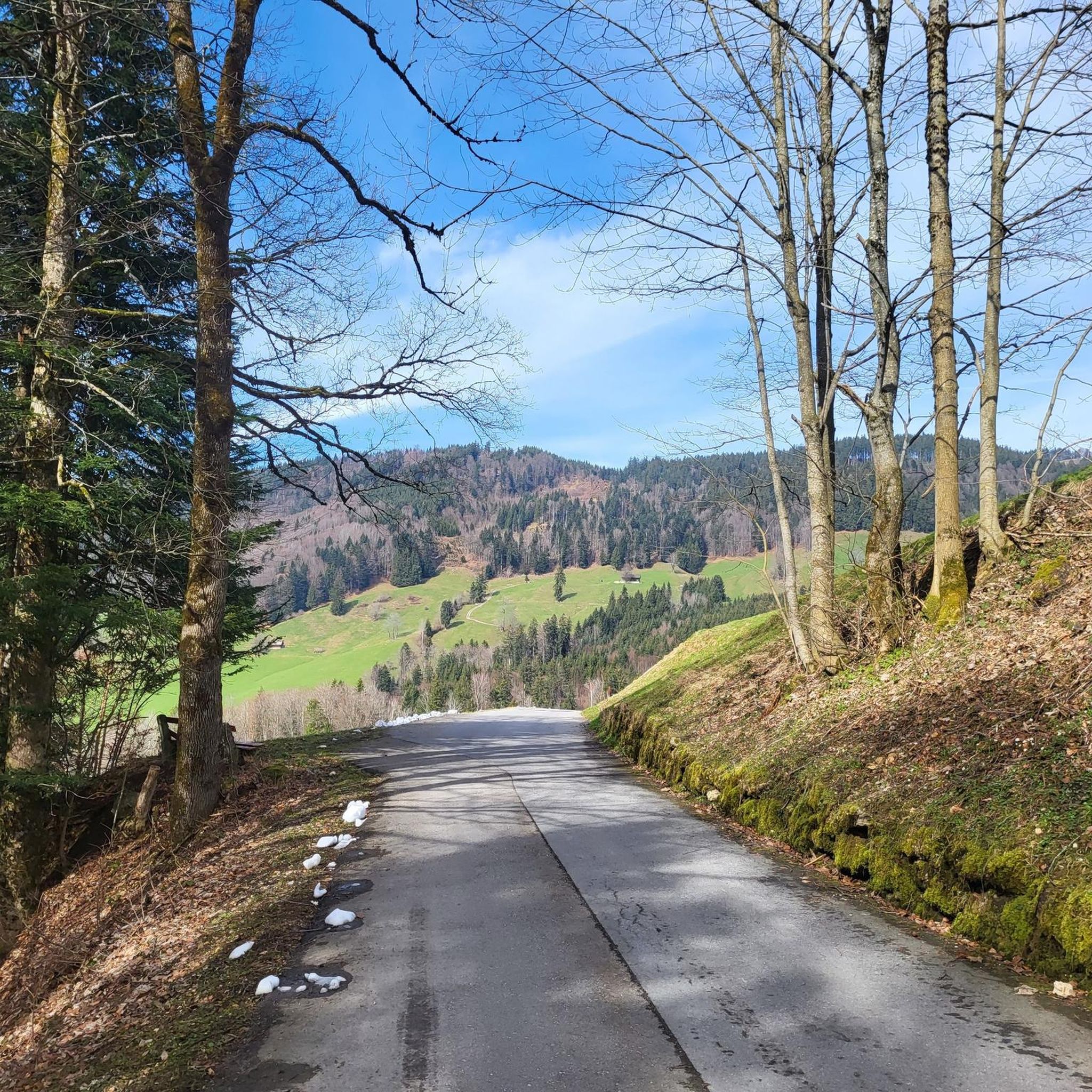
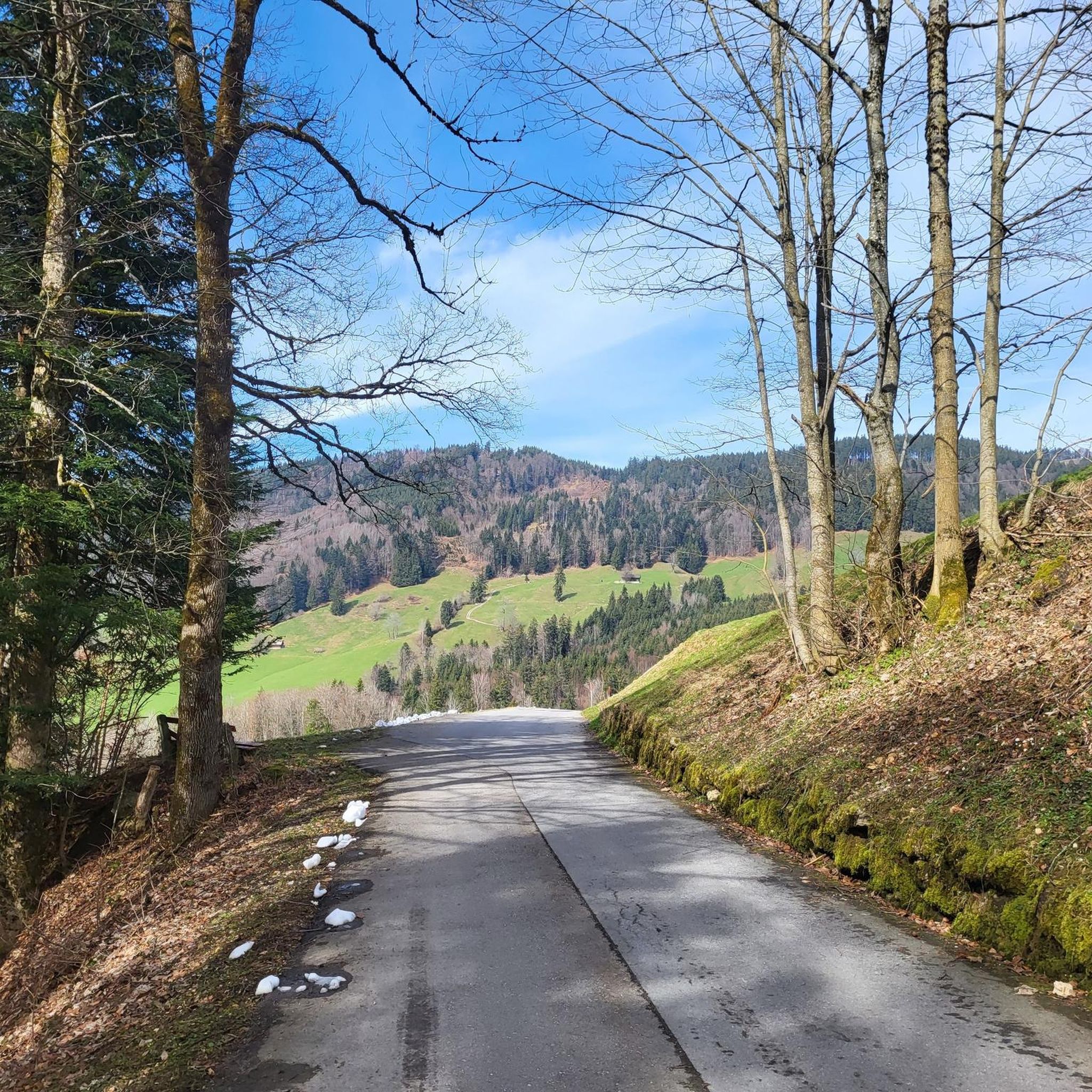
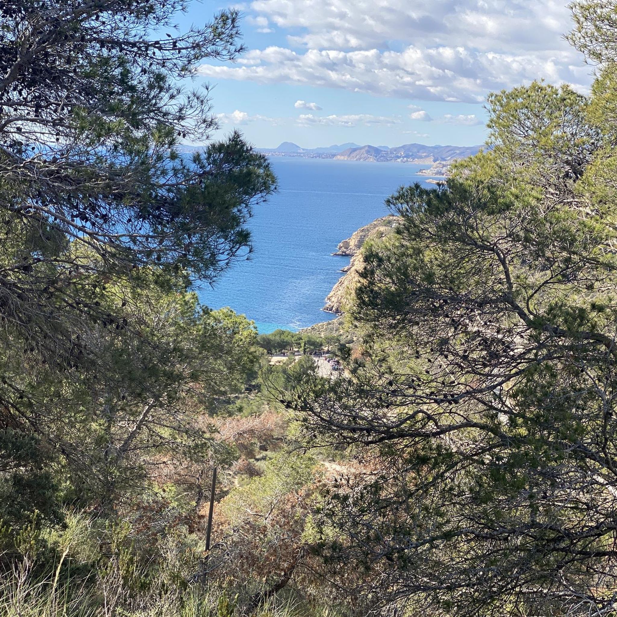
Other adventures around Gommiswald

Tips from the Community

Many bunkers and simply a great area.
0
0

When you finally arrive at the top after the long climb in the forest coming from Ricken, the view is wonderful. A short stop is recommended.
0
0

When the weather is nice, the food carts are open with tables. Swimming in the Linth: A matter of course for locals, for others it can be a challenge to get into or jump into the cold, rushing Linth. With little water (July/August), the Linth can also be waded through.
0
0

"Junction": towards the Linth plain, towards Buchberg, towards Obersee.
0
0
A very well-known, often photographed bridge.
0
0

From Regelstein, in good weather conditions there is a great view of Säntis, the Churfirsten and the Seer with Chüemettler.
0
0
In good weather, the panoramic view is very generous.
0
0

You can also stay overnight at the Tanzboden, for example, if you're hiking the Toggenburg High Trail. Please note, however, that reservations cannot be made from Sunday to Monday or Monday to Tuesday, as Monday is a day of rest. Reservation information can be found here: https://www.tanzboden-rieden.ch/
1
1
Frequently Asked Questions
How many running routes are available around Gommiswald?
There are over 300 running routes around Gommiswald, offering a wide range of options. You'll find everything from easy, flat paths to more challenging trails with significant elevation changes, catering to all fitness levels.
What kind of terrain can I expect on jogging routes in Gommiswald?
The region offers diverse terrain, from well-trodden paths to more natural, unpaved trails. You can expect routes winding through forests, serene moors, and alpine pastures, often featuring varied elevations due to Gommiswald's location on a high ridge between the Linth and Regelstein valleys.
Are there any easy or beginner-friendly jogging routes in the area?
Yes, Gommiswald offers several easy routes suitable for beginners or those looking for a relaxed run. For instance, the Running loop from Uznach is a moderate 9 km path with minimal elevation changes, perfect for a pleasant run through the local area.
Can I find routes with scenic views or natural landmarks?
Absolutely. Many routes in Gommiswald offer breathtaking views, especially towards the nearby Säntis region. You might encounter natural features like the slopes of the Obere Tweralp, which bloom with white crocuses in spring. For specific landmarks, consider routes near highlights like the impressive Seerenbach Falls or viewpoints such as the Bachtel Tower.
Are there any circular running routes around Gommiswald?
Yes, many of the running paths in Gommiswald are circular, allowing you to start and end at the same point. A popular option is the Linth Canal – Old Wooden Covered Bridge loop from Uznach, which is a 12.3 km trail offering a flat and scenic experience.
What do other runners enjoy most about jogging in Gommiswald?
The area is highly rated by the komoot community, with an average score of 4.5 stars from over 90 reviews. Runners often praise the diverse terrain, the stunning natural landscapes, and the well-maintained network of trails that provide a constantly changing backdrop for their runs.
Are there any challenging routes for experienced trail runners?
For those seeking a challenge, Gommiswald offers more demanding mountain trails with significant elevation changes. An example is the Regelstein loop from Rickentunnel, which features nearly 500 meters of ascent over its 8.9 km distance.
Are the running routes in Gommiswald accessible by public transport?
While specific public transport connections vary by route, many trailheads in the Gommiswald region are generally accessible. It's advisable to check local transport schedules for the starting points of your chosen routes to plan your journey effectively.
Are there any family-friendly running options in Gommiswald?
Yes, the region provides paths suitable for families. Look for routes described as 'easy' or with minimal elevation gain. These often follow well-trodden paths through pleasant scenery, making them enjoyable for all ages.
What is the best time of year for jogging in Gommiswald?
Gommiswald offers enjoyable running conditions throughout much of the year. Spring is particularly beautiful when the slopes bloom with crocuses. Summer provides lush green landscapes, while autumn offers vibrant colors. Even winter can be suitable for running on cleared paths, though some higher trails may be snow-covered.
Are there any routes that pass by historical sites or points of interest?
Yes, you can combine your run with a bit of history or culture. For example, the Burgruine Bibiton loop from Kaltbrunn takes you past the ruins of Bibiton Castle, offering a glimpse into the region's past during your run.
Can I find routes that are dog-friendly?
Many trails in the Gommiswald area are suitable for running with dogs, especially those that are shared with hikers. However, it's always recommended to keep your dog on a leash and be mindful of local regulations, especially in nature reserves or agricultural areas.
Most popular routes around Gommiswald
Most popular attractions around Gommiswald

Get inspired with the komoot mobile app


Explore more
Browse the best Running Trails & Routes in other regions.
