The best mountain hikes around Kaltbrunn
4.8
(20)
174
hikers
19
hikes
Mountaineering around Kaltbrunn offers a range of challenging routes through alpine landscapes. The region is characterized by prominent peaks such as Speer and Gleiterspitz, with elevations reaching over 1,500 meters. These routes often feature significant elevation gains, exposed sections, and rocky terrain, including via ferrata options. The area provides diverse mountaineering experiences within the See-Gaster region.
Best mountaineering routes around Kaltbrunn
- The most popular mountaineering route is Speer Via Ferrata – Speer Summit loop from Speer, a 5.1 miles…
Last updated: October 10, 2026
4.3
(3)
28
hikers
17.9km
07:17
1,050m
1,050m
Hard mountaineering route. Very good fitness required. Sure-footedness, sturdy shoes and alpine experience required.
5.0
(1)
15
hikers
9.61km
03:27
570m
570m
Moderate mountaineering route. Good fitness required. Easily-accessible paths. Suitable for all skill levels.

4.0
(1)
8
hikers
12.6km
05:21
810m
810m
Hard mountaineering route. Very good fitness required. Sure-footedness, sturdy shoes and alpine experience required.
5.0
(1)
12
hikers
12.5km
07:27
1,380m
1,380m
Hard mountaineering route. Very good fitness required. Sure-footedness, sturdy shoes and alpine experience required.
5.0
(1)
6
hikers
6.21km
03:07
490m
490m
Hard mountaineering route. Good fitness required. Sure-footedness, sturdy shoes and alpine experience required.
Get access to more routes and recommendations from other explorers.
Already have an account?
Our route recommendations are based on thousands of hikes, rides, and runs completed by other people on komoot.
Start today with a free account
Your next adventure awaits.
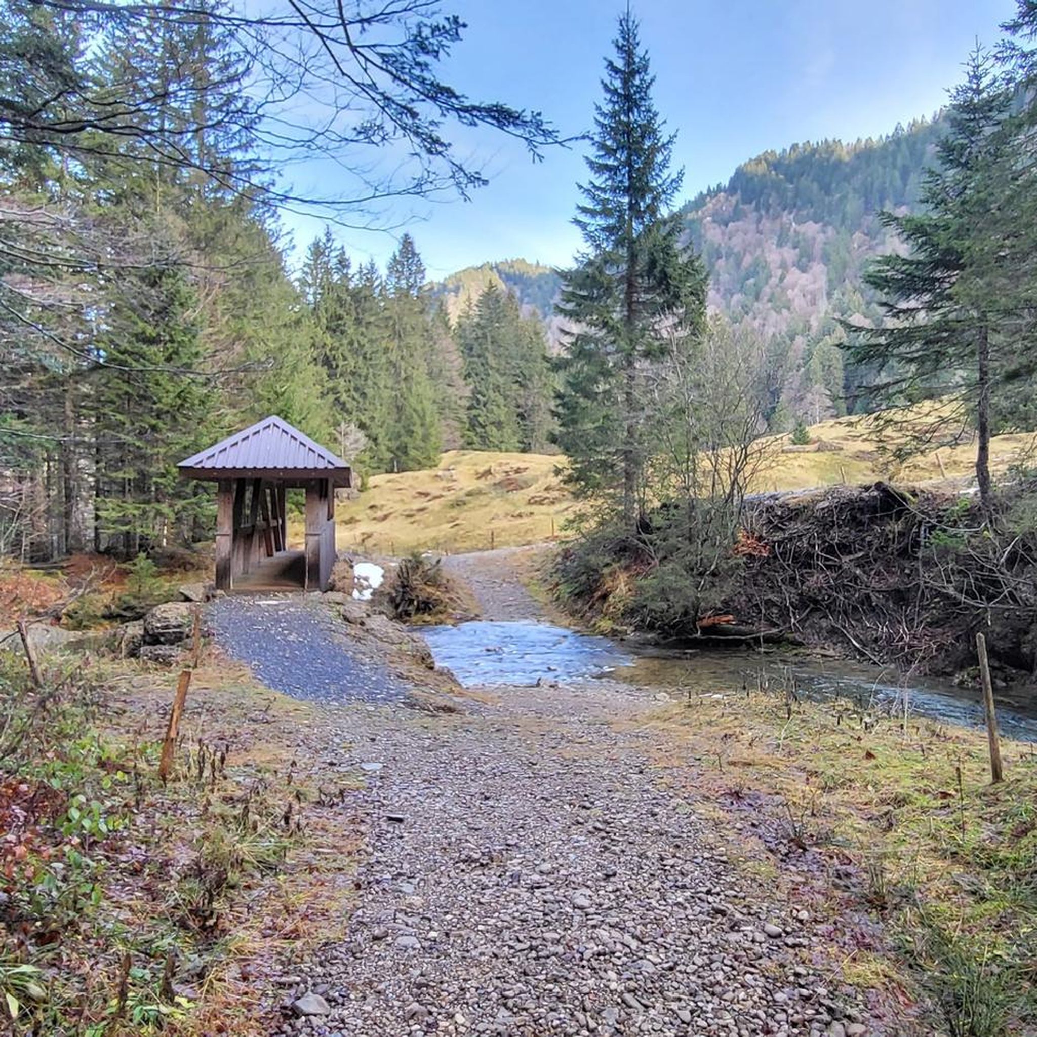
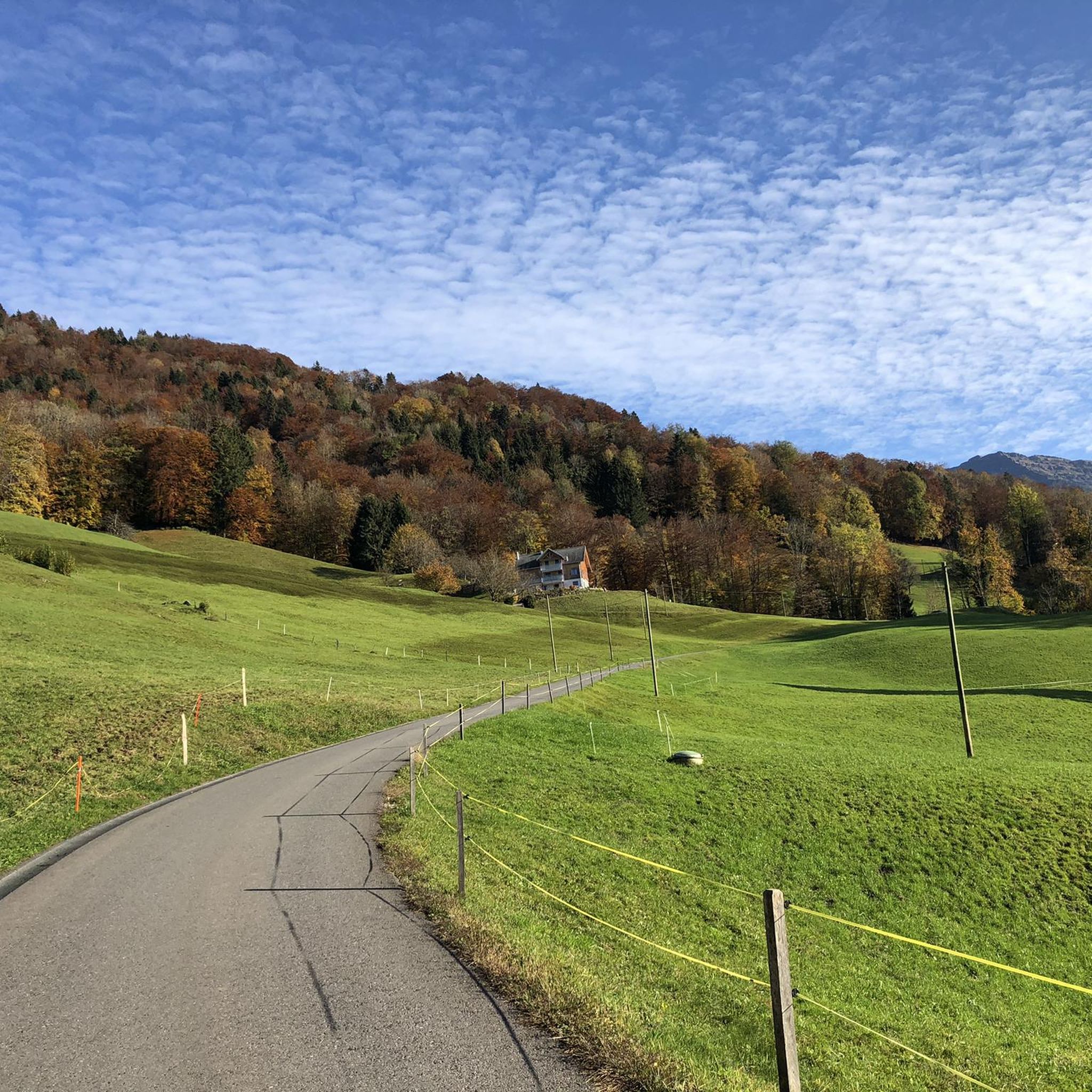
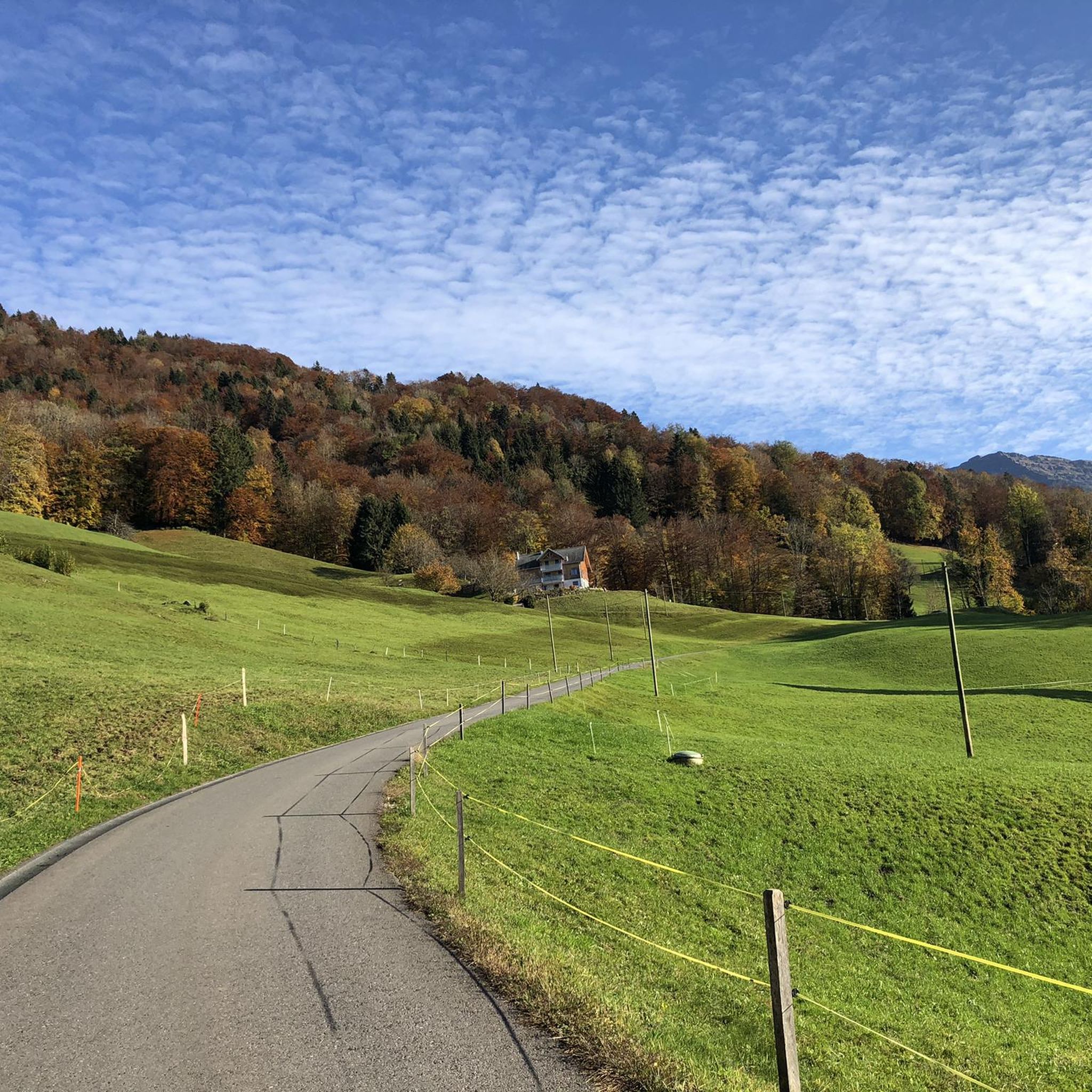
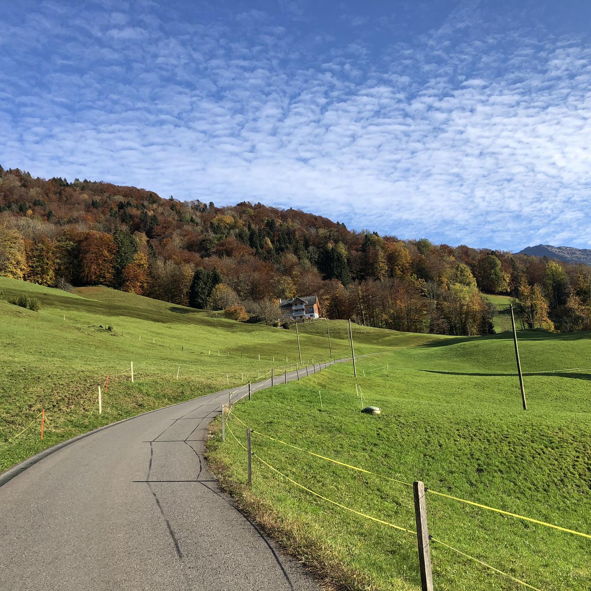
Tips from the Community

Super beautiful corner for cycling
0
0

Fantastic panoramic view from the summit. It's worth being early. :)
0
0

Monday rest day. Nevertheless beautiful view.
0
0

The pass height is located in a high moor landscape of national importance and offers panoramic views from the Säntis in the north to the Tödi in the south, with the Mürtschenstock being particularly striking. From Vorder Höhi, the Churfirsten can be well overlooked, and the surroundings are particularly scenic for nature and photo lovers.
1
0

Conditionally very demanding. 200m steep running section.
0
0

From here onwards, continuing along the Toggenburg High Trail (towards Wildhaus), the terrain becomes alpine for a few kilometers.
0
0


Frequently Asked Questions
What kind of mountaineering routes can I expect around Kaltbrunn?
Kaltbrunn offers a variety of challenging mountaineering routes through alpine landscapes. You'll find paths with significant elevation gains, exposed sections, and rocky terrain, including options with via ferrata. The region is known for prominent peaks like Speer and Gleiterspitz, providing diverse experiences for experienced mountaineers.
Are there any beginner-friendly mountaineering routes in Kaltbrunn?
The mountaineering routes around Kaltbrunn are predominantly challenging, with 21 out of 24 routes classified as difficult. There are 3 moderate routes, but no easy routes specifically for mountaineering. These trails are generally suited for experienced individuals seeking significant elevation gain and technical sections.
What are some of the longer mountaineering routes in the Kaltbrunn area?
For a longer, more extensive experience, consider the Mattstock Southwest Ridge – Mattstock Summit loop from Amden. This difficult route covers approximately 12.7 km (7.9 miles) with nearly 1,000 meters of elevation gain, typically taking around 6 hours to complete.
Are there any circular mountaineering routes available?
Yes, many of the mountaineering routes around Kaltbrunn are designed as loops. For instance, the challenging View of the Rhine Valley – Federispitz Summit loop from Federispitz is a circular route covering about 7.7 km (4.8 miles) with over 1,000 meters of ascent, offering panoramic views.
What is the best time of year for mountaineering in Kaltbrunn?
Mountaineering in Kaltbrunn is generally best during the warmer months, typically from late spring to early autumn, when trails are clear of snow and ice. Always check local weather conditions and trail reports before heading out, as alpine conditions can change rapidly.
Can I find any waterfalls or interesting natural features along the routes?
Yes, the region boasts impressive natural features. You can explore the area around the Seerenbach Falls and Rinquelle, which are among the highest waterfalls in Switzerland. Another notable spot is the Gubel Cave and Waterfall on the Vordere Töss.
What do other mountaineers say about the routes in Kaltbrunn?
The mountaineering routes in Kaltbrunn are highly regarded by the komoot community, holding an average rating of 4.8 stars from over 20 reviews. Users frequently praise the challenging ascents, the stunning alpine scenery, and the well-maintained trails that lead to prominent summits.
Are there any mountain passes or scenic viewpoints to explore?
Absolutely. The Kaltbrunn area is rich with scenic mountain passes and viewpoints. Consider visiting the Vorder Höhi Pass or the Chrüzegg Summit for expansive views of the surrounding alpine landscape.
How many mountaineering routes are there in total around Kaltbrunn?
There are 24 mountaineering routes available around Kaltbrunn, offering a wide range of options for those looking to explore the alpine terrain. The vast majority of these, 21 routes, are classified as difficult.
What are the typical elevation gains on mountaineering routes here?
Mountaineering routes around Kaltbrunn are characterized by significant elevation gains. For example, routes like the View of the Rhine Valley – Federispitz Summit loop from Federispitz involve over 1,000 meters of ascent, providing a substantial challenge.
Is public transport an option to reach the trailheads in Kaltbrunn?
While specific public transport details for each trailhead vary, Kaltbrunn is generally accessible by public transport within the See-Gaster region. It's advisable to check local bus and train schedules to plan your approach to specific starting points for the mountaineering routes.
Are there any facilities like cafes or pubs near the mountaineering routes?
The Kaltbrunn region, being a popular outdoor destination, often has mountain huts or small eateries in villages near popular trailheads. While specific locations vary, you can usually find places to refuel or relax after your mountaineering adventure in the surrounding communities.
Most popular routes around Kaltbrunn
Most popular attractions around Kaltbrunn

Get inspired with the komoot mobile app


Explore more
Browse the best Mountain Hikes & Routes in other regions.
