The best running trails around Gas
4.6
(30)
1,856
runners
261
runs
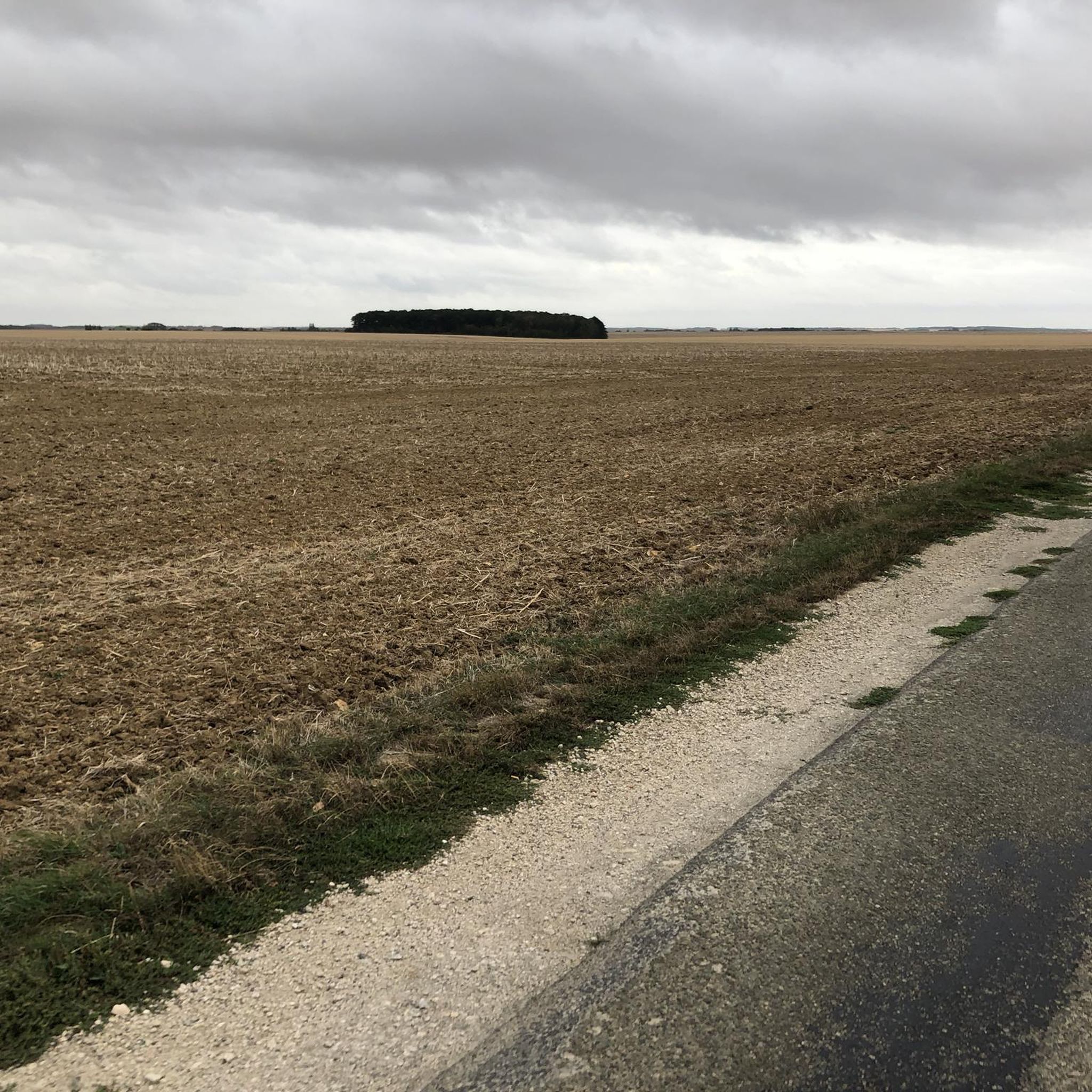
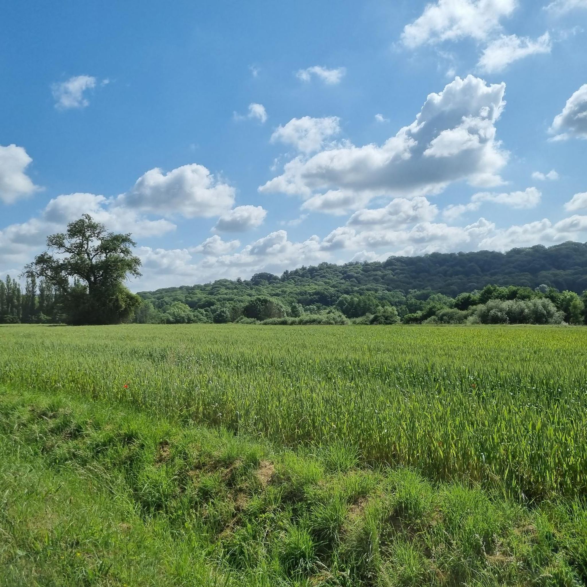
Jogging routes around Gas traverse a landscape characterized by gentle undulations and a mix of open fields and smaller wooded areas. The region offers a network of paths suitable for running, with minimal significant elevation changes. These routes often follow quiet country lanes or established trails through agricultural land, providing a serene environment for outdoor activity. The terrain is generally accessible, making it suitable for various fitness levels.
Best jogging routes around Gas
- The most popular jogging route is Running…
Last updated: October 27, 2026
8
runners
9.97km
01:02
60m
60m
Moderate run. Good fitness required. Mostly paved surfaces.
3
runners
18.8km
01:57
100m
100m
Hard run. Very good fitness required. Mostly paved surfaces.

5.0
(1)
8
runners
7.63km
00:49
70m
70m
Moderate run. Good fitness required. Mostly paved surfaces.
4
runners
6.13km
00:38
30m
30m
Moderate run. Good fitness required. Mostly paved surfaces.
4
runners
10.0km
01:03
60m
60m
Moderate run. Good fitness required. Mostly paved surfaces.
Get access to more routes and recommendations from other explorers.
Already have an account?
Our route recommendations are based on thousands of hikes, rides, and runs completed by other people on komoot.
Start today with a free account
Your next adventure awaits.



Tips from the Community

Accessible via a good little climb of about 100m with a gradient of 10 to 11% at the top, coming from Maingournoie
1
0

You pass under the remains of the Maintenon aqueduct. This dates from the end of the 17th century. It was to carry water from the Eure to Versailles to supply the fountains in the garden. After three years of work, the site was interrupted because of the war and the work was never completed.
1
0


The construction of the aqueduct of Maintenon began in 1686 but it was never finished. Indeed, this work of art intended to supply water to the Palace of Versailles was no longer a priority from 1689. The built part of the aqueduct stretches for 955 meters, more than 28 meters high.
4
0

Worth a visit. This viaduct was built to supply the Château de Versailles but was never put into service.
0
0

A masterpiece of architecture for the time, I invite you to discover the history of the aqueduct of maintenon
1
0

This one cannot be missed, a real must-have !!!
0
0
The Maintenon aqueduct is an unfinished work of art, located on the grounds of the Château de Maintenon, crossing the Eure valley. It is part of the Canal de l'Eure (aqueduct from Pontgouin to Versailles) initiated by Louis XIV with the aim of supplying water to the Château de Versailles. Begun in 1686, the work was abandoned in 1689 due to the Kingdom's entry into war against the League of Augsburg. The aqueduct has been classified as a historical monument since 1875 source wikipedia
3
0
Frequently Asked Questions
How many running routes are available in the Gas region?
The Gas region offers a wide selection of running routes, with over 240 trails available for exploration. These routes cater to various fitness levels, ranging from easy strolls to more challenging runs.
What makes jogging in Gas unique?
Jogging in Gas is characterized by its gentle gradients, picturesque agricultural vistas, and quiet country paths. The landscape features a pleasant mix of open fields and smaller wooded areas, providing a serene environment for outdoor activity with minimal significant elevation changes.
Are there any family-friendly running trails in Gas?
Yes, many of the routes in Gas are suitable for families due to their generally accessible terrain and gentle gradients. While specific 'family-friendly' designations aren't always given, trails like the L'Épaule de Gallardon loop from Gallardon, at 3.9 miles (6.3 km), offer a manageable distance for a pleasant outing with children.
Can I find circular running routes around Gas?
Absolutely. Many of the popular running routes in Gas are circular, allowing you to start and finish at the same point. Examples include the Running loop from Gallardon and the Running loop from Gas, both designed for convenient round trips.
What do other runners say about the trails in Gas?
The running routes in Gas are highly regarded by the komoot community, boasting an impressive average rating of 4.5 stars from over 20 reviews. More than 1400 runners have explored the varied terrain, often praising the quiet country lanes and the pleasant mix of open spaces and light tree cover.
Are there any interesting landmarks or sights to see along the running routes?
While jogging in Gas, you can encounter several interesting landmarks. For instance, you might pass by historical sites like the Maintenon Castle or the Saint-Piat Mill. There's also the unique Guiperreux Toad Crossing, a natural monument, and the Pont Rouge on the Louis XIV Canal.
What is the typical difficulty level of running trails in Gas?
The majority of running trails in Gas are classified as moderate, making them accessible to a wide range of runners. There are also easier options for beginners and some more difficult routes for those seeking a greater challenge. Out of 242 total tours, 18 are easy, 182 are moderate, and 42 are difficult.
Are there longer running options for experienced runners?
Yes, for those looking for longer runs, routes like Le Hameau du Parc loop from Houx offer distances of over 7 miles (11 km). The Running loop from Gas is another excellent choice, covering 6.2 miles (10.0 km) with a mix of open spaces and light tree cover.
What kind of terrain can I expect on the running paths in Gas?
The terrain in Gas is generally accessible, consisting mainly of quiet country lanes and established trails through agricultural land. You can expect a mix of open fields and smaller wooded areas, with gentle gradients rather than steep climbs, making for a comfortable running experience.
Are there any running routes that start from specific towns or villages in the Gas area?
Yes, several routes conveniently start from local towns and villages. For example, you can begin your run from Gallardon with the Running loop from Gallardon, or from Houx with the Le Hameau du Parc loop from Houx. There's also a popular route, the Running loop from Jonvilliers, starting from Jonvilliers.
Is the Gas region suitable for beginner runners?
Absolutely. The Gas region is well-suited for beginner runners, offering 18 easy routes with gentle gradients and accessible terrain. These paths provide a great way to start jogging without encountering significant challenges, allowing you to enjoy the serene countryside at your own pace.
What is the average duration for a running route in Gas?
The duration of running routes in Gas varies depending on the distance and your pace. For example, the Running loop from Gallardon typically takes about 52 minutes, while the L'Épaule de Gallardon loop from Gallardon can be completed in around 40 minutes. Longer routes, like the Running loop from Gas, might take over an hour.
Most popular attractions around Gas

Get inspired with the komoot mobile app


Explore more
Browse the best Running Trails & Routes in other regions.
